Attractions and Places To See around Alta Garrotxa-Massís de les Salines - Top 20
Best attractions and places to see around Alta Garrotxa-Massís de les Salines include a diverse range of natural features and cultural heritage sites. This region, part of the Pre-Pyrenees, is characterized by rugged limestone terrain, deep valleys, and 184 named mountains, including Comanegra at 1,557 meters. The area's karst topography and extensive forests, dominated by holm oak and oak woodlands, define its landscape. Visitors can explore numerous Romanesque hermitages and well-preserved medieval villages.
Best attractions and places to see around…
Last updated: August 16, 2026
Mare de Déu del Mont Summit
Highlight • Summit
Tip by

Llierca Bridge
Highlight • Bridge
Tip by

Sign up now to discover places like this
Get recommendations on the best single tracks, peaks, & plenty of other exciting outdoor places.
Sign up for free
Valentí Bridge
Highlight • Bridge
Translated by Google •
Tip by

Panissars Ruins
Highlight • Historical Site
If the site retains such strong historical interest, it is because General Pompey had his trophy built …
Translated by Google •
Tip by

Pont d'en Bertran
Highlight • Bridge
Translated by Google •
Tip by

Sign up for free to discover even more attractions around Alta Garrotxa-Massís de les Salines.
Sign up for free
Already have an account?
Start today with a free account
Your next adventure awaits.
Login or Signup
Popular around Alta Garrotxa-Massís de les Salines
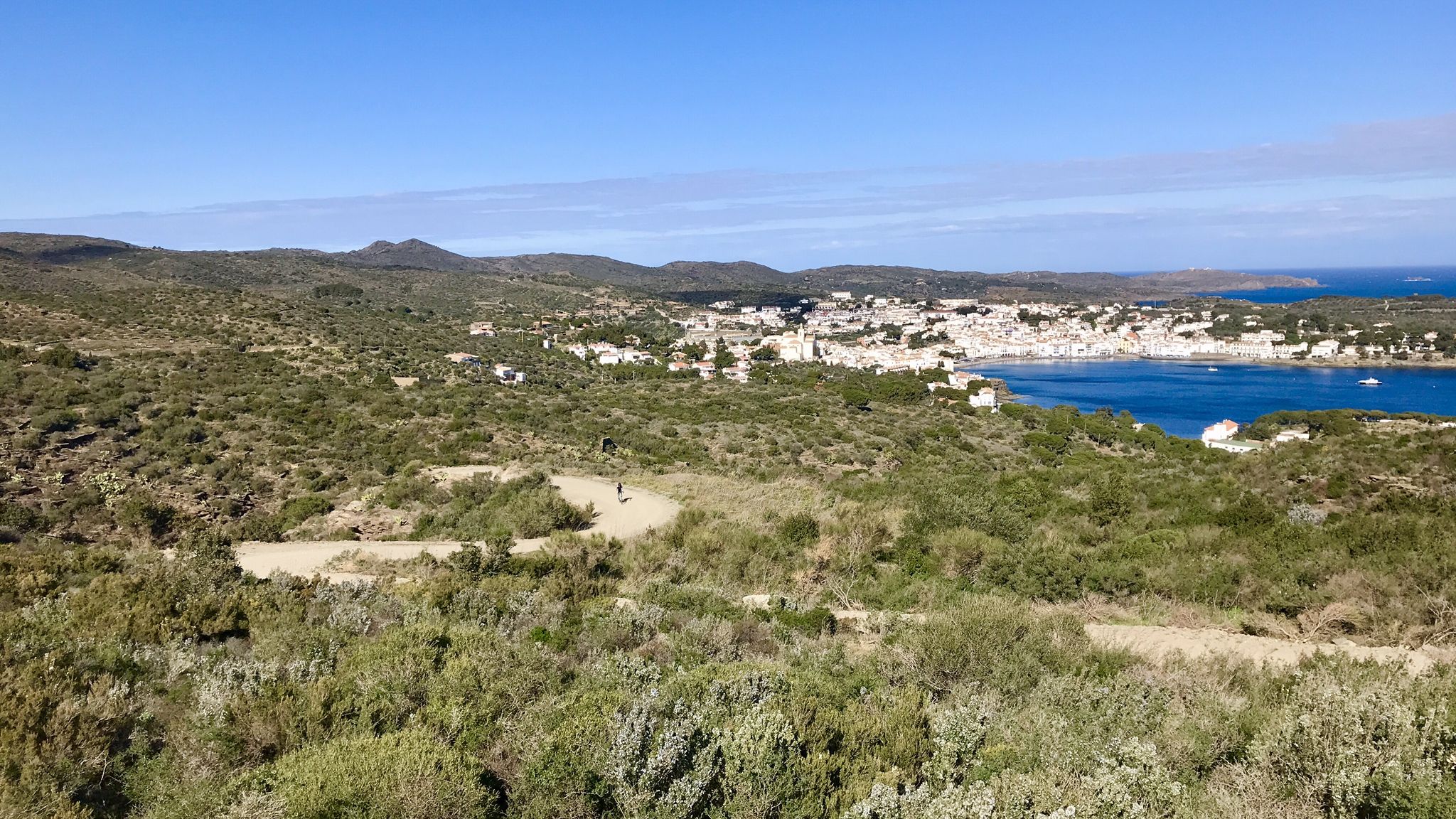
Garrotxa, Olot and Cap de Creus – gravel paradise in Spain

Catalonia and Andorra on the Pyrenean Trail – GR 11
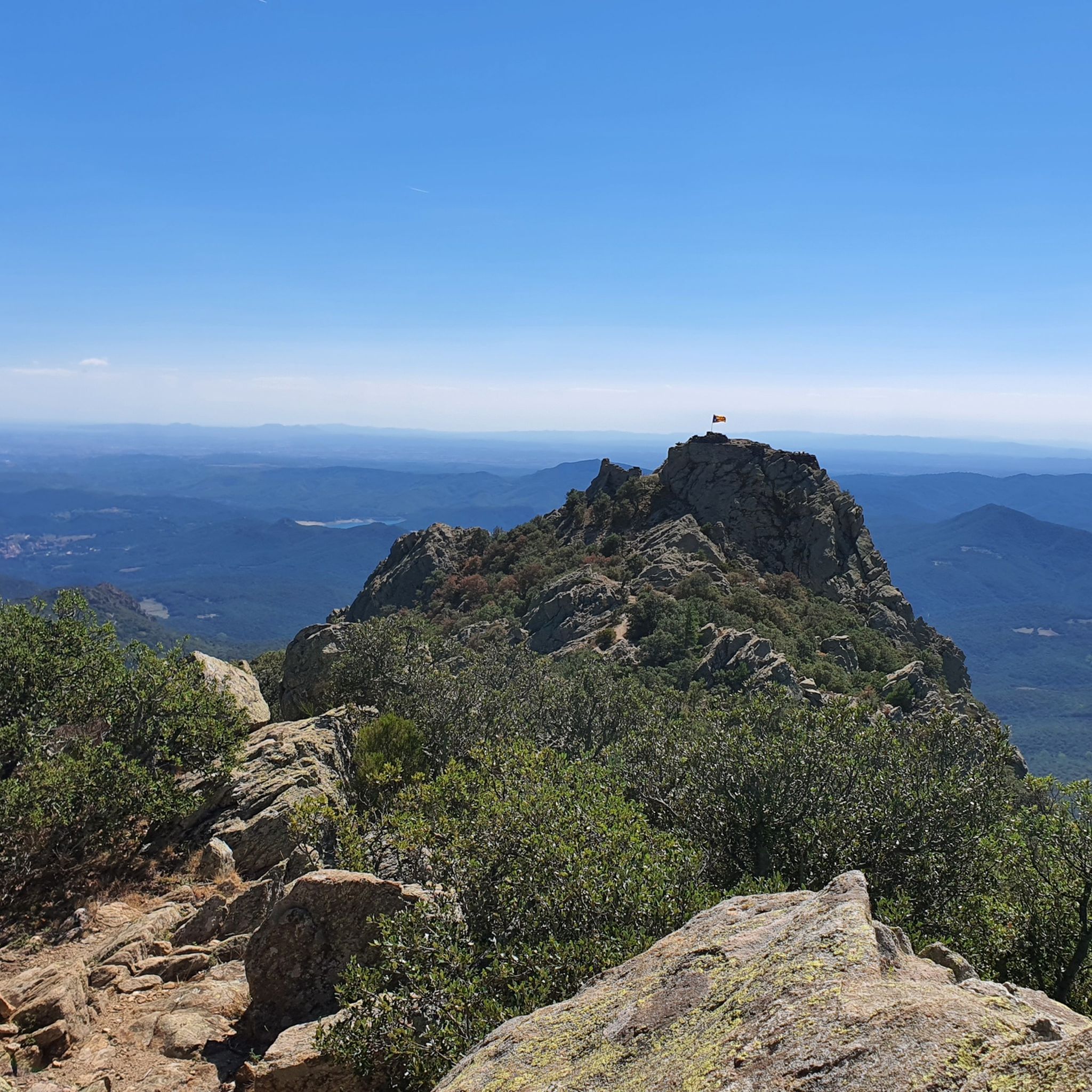
MTB Trails around Alta Garrotxa-Massís de les Salines
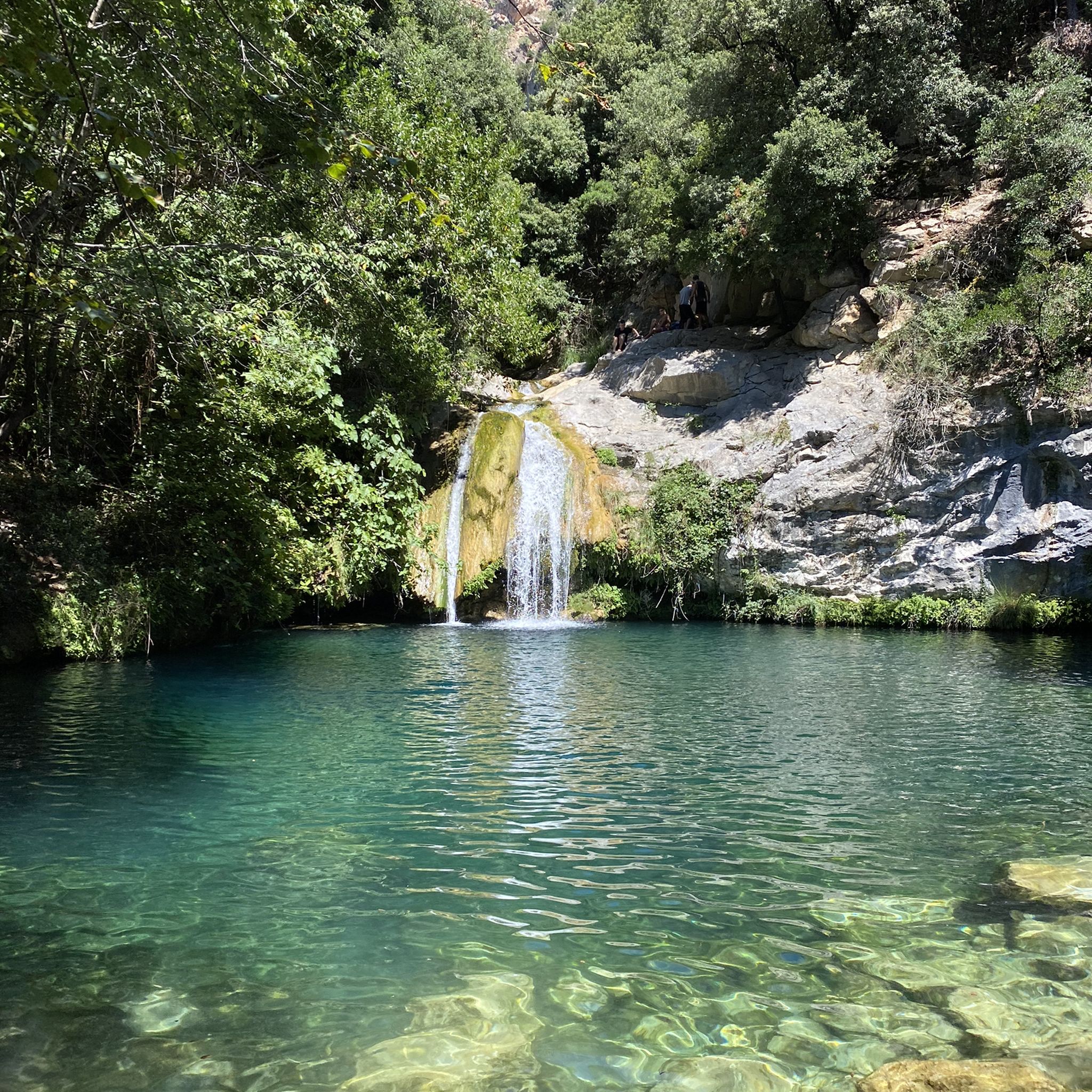
Hiking around Alta Garrotxa-Massís de les Salines
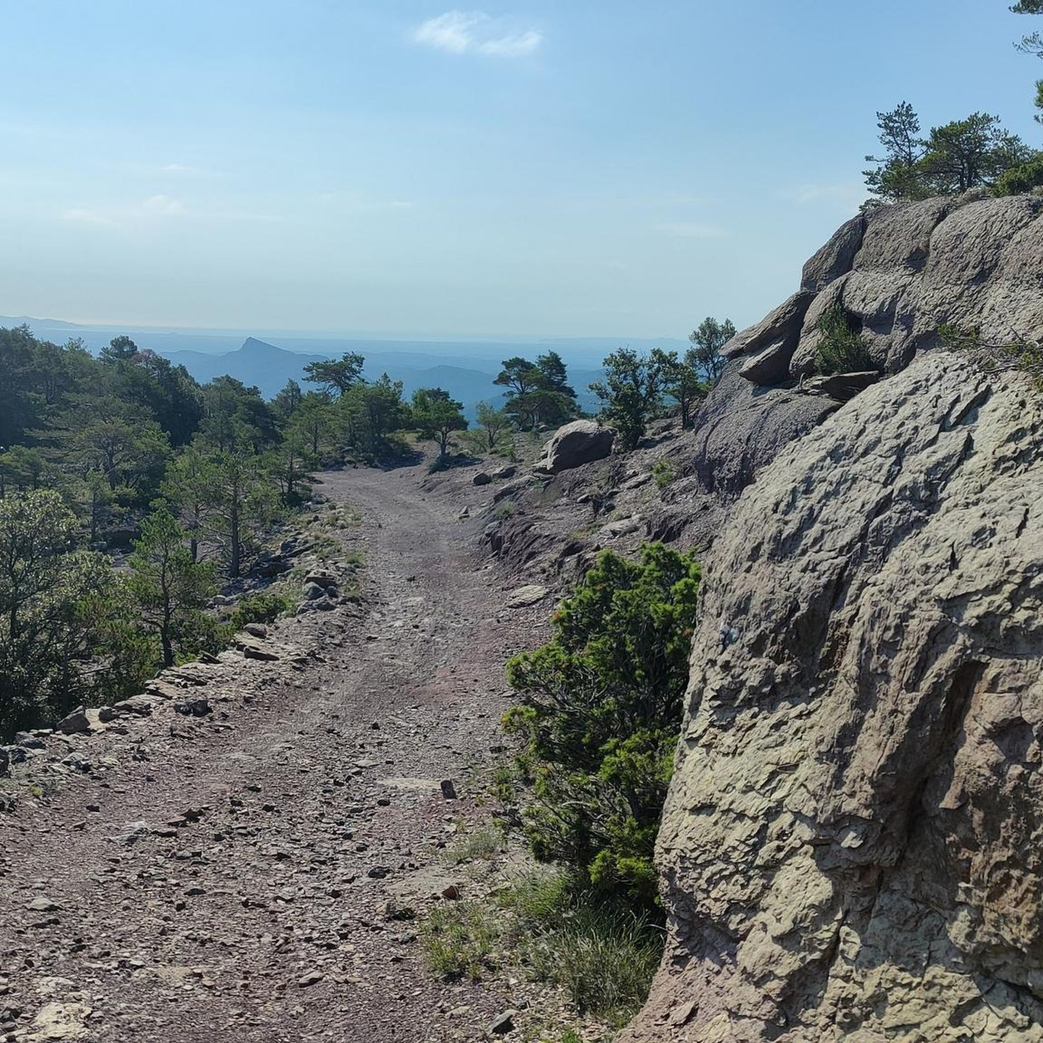
Cycling around Alta Garrotxa-Massís de les Salines
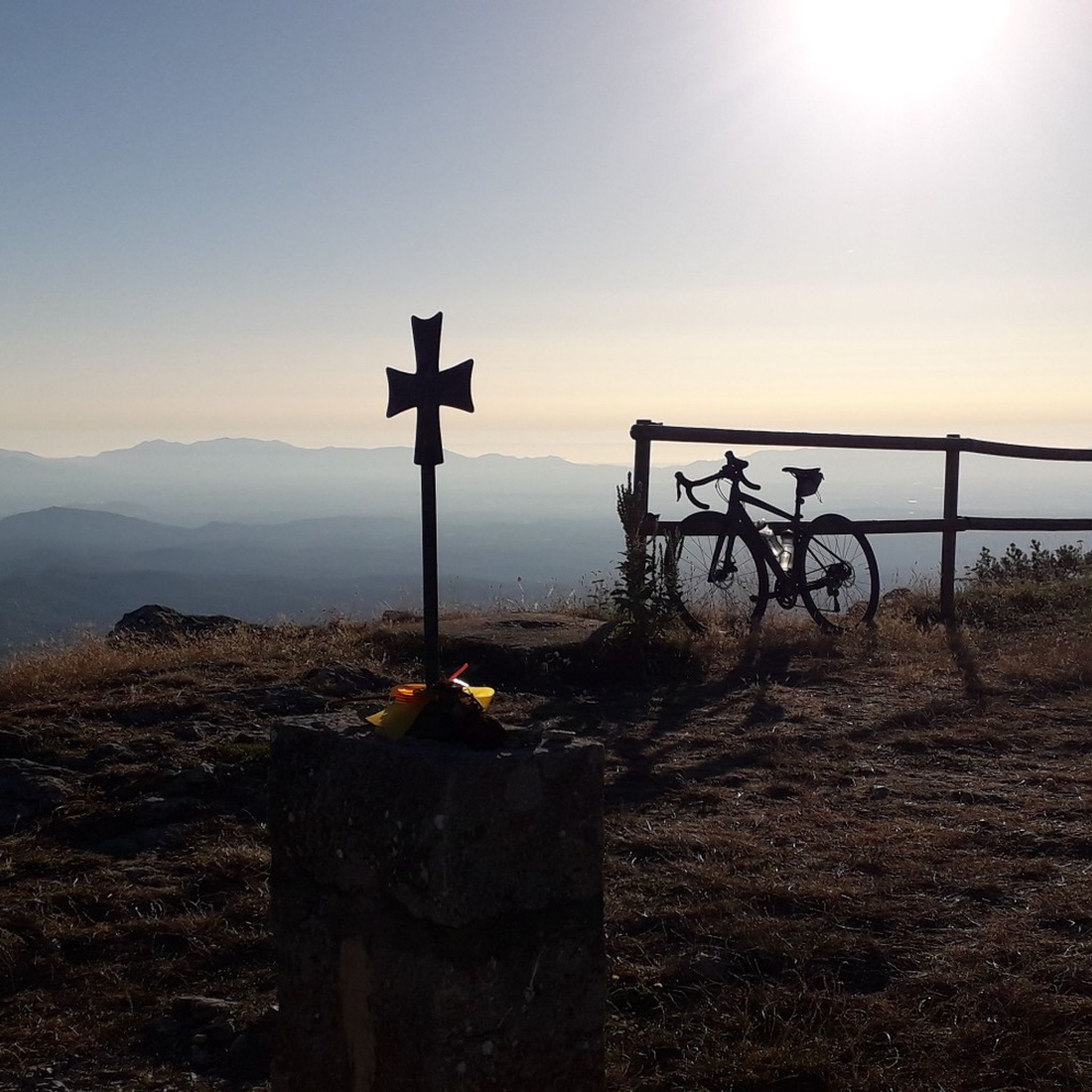
Road Cycling Routes around Alta Garrotxa-Massís de les Salines
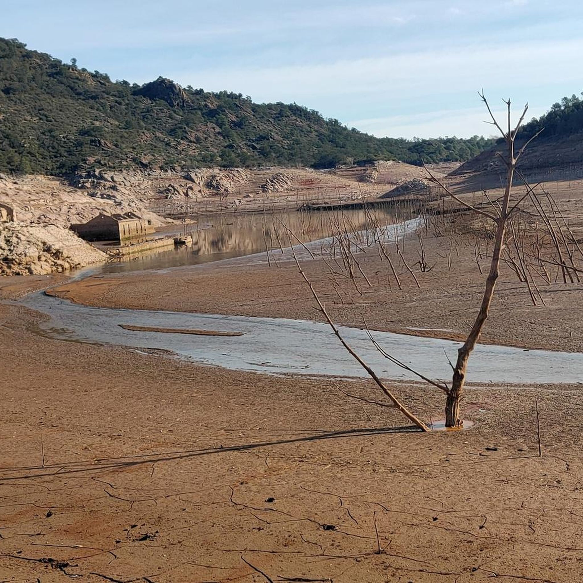
Running Trails around Alta Garrotxa-Massís de les Salines

Gravel biking around Alta Garrotxa-Massís de les Salines

Mountain Hikes around Alta Garrotxa-Massís de les Salines
Other adventures around Alta Garrotxa-Massís de les Salines


Tips from the Community

Hello, I wanted to save money for a new silicone basting brush because my old brush lost bristles in the sauce. After weeks of losses on the usual sites, I took a big gamble at https://ivy-bets.com.de/ when my balance was almost zero. A wild feature with a sudden multiplier brought me an amount that was more than enough for two silicone brushes, a marinating container, and even a bowl. For players from Germany, the verification here went pleasantly quickly.
0
2

You can't just drive to Sadernes and park at the moment. You need a QR code to reserve a parking space. You can download this in advance via a website or at a checkpoint on one of the access roads. The cost was 6 euros. The best thing is to do it in advance, because the first time we came in the weekend everything was already occupied and we had to go back.
1
0

The area east of the bridge is not particularly suitable for gravel bikes. The bridge is definitely worth a visit.
0
0

A Romanesque bridge worth seeing. Be sure to take a detour there and take a look. You can easily walk across it.
3
0

The Llierca Bridge, also called Pont de Sadernes, is a bridge 28 m high, 52 m long and 3 m wide. With a single, very slender arch, it crosses the Llierca river between Tortellà and Sadernes. Romanesque in style, although we do not know the date of its construction, there is evidence of its use since at least the 14th century, when it is documented that a toll was paid to cross it. The bridge was probably built by order of the barons of Sales, to facilitate trade between the farmhouses located west of the Llierca river with the towns of Tortellà and Besalú.
0
0


At the eastern end of the Pyrenees, the current border between France and Spain has its main road crossing point between the French department of the Pyrenees-Orientales and the province of Girona in the Pertús Pass. However, in Antiquity (and until the 17th century) access was a little further south of the municipal area, through the Port of Panissars, which today is a relatively wild and isolated place separated from the Pertús pass by a hill in the where the fort or castle of Ballaguarda stands, built in the 17th century. In the Port of Panissars, at about 340 meters above sea level, there are the ruins of the old priory and the Benedictine hospital of Saint Mary. Among them are the remains of an older monument erected in 71 BC, the Trophy of Pompey.
2
0

Panissars was a small village in Antiquity. Today only a few vestiges remain. If the site retains such strong historical interest, it is because General Pompey had his trophy built there, to bring to posterity his victory over the Iberians. Getting there also means going to the old border between Gaul and Hispania.
2
0
Frequently Asked Questions
What natural features and viewpoints can I explore in Alta Garrotxa-Massís de les Salines?
The region is characterized by its rugged limestone terrain, deep valleys, and 184 named mountains, including the highest peak, Comanegra, at 1,557 meters. You can also find distinctive karst features like limestone pavements and sinkholes. For breathtaking views, consider the challenging climb to Mare de Déu del Mont Summit, which offers panoramic vistas of the Garrotxa, the Pyrenees, and the Mediterranean Sea. Another notable peak is Puig de Bassegoda, known for its characteristic pointed shape and 360º views. The village of Castellfollit de la Roca, perched on a basaltic ridge, also provides a spectacular viewpoint.
What historical and cultural sites are worth visiting in the region?
Alta Garrotxa-Massís de les Salines is rich in cultural heritage. You can explore numerous Romanesque hermitages and well-preserved medieval villages. Notable medieval towns include Besalú, with its historical complex and Vell Bridge, and Santa Pau, a historical and artistic complex featuring a castle. The area also boasts significant historical sites like the Llierca Bridge and Valentí Bridge, both medieval Romanesque structures. The Panissars Ruins hold historical interest as the site of Pompey's Trophy from 71 BC and the old border between Gaul and Hispania.
Are there popular hiking trails in Alta Garrotxa-Massís de les Salines?
Yes, the region is ideal for hiking with numerous routes. For easy options, you can explore trails like the Gorges of the Muga Trail or the Valentí Bridge – Gorges of the Alt Llierca loop from Sadernes. More challenging routes include the Puig de Bassegoda Loop or the Sant Aniol d'Aguja Ruins – Rocapastora Cliff loop. You can find more details and routes in the Easy hikes around Alta Garrotxa-Massís de les Salines guide or the Running Trails around Alta Garrotxa-Massís de les Salines guide.
What unique geological formations can I see in the area?
The region's karst topography, formed by thousands of years of erosion of soft rock, is a distinctive geological feature. You'll find deep valleys, cliffs, limestone pavements, and sinkholes. Adjacent to Alta Garrotxa, the Natural Park of the Volcanic Zone of La Garrotxa offers spectacular volcanic landscapes, including over 40 volcanoes like Croscat Volcano and Santa Margarida Volcano (with a hermitage inside its crater). The Fageda d'en Jordà, an enchanting beech forest growing on an ancient lava flow, is another unique natural wonder.
Are there family-friendly activities or easy hikes available?
For families, the region offers several easy hiking options. The Easy hikes around Alta Garrotxa-Massís de les Salines guide features routes like the Gorges of the Muga Trail and the Valentí Bridge – Gorges of the Alt Llierca loop. The Gorgs de les Planes d'Hostoles area is also highly recommended for hiking and features various gorges ideal for cooling off, which can be a fun activity for families.
What outdoor adventure sports can I do in Alta Garrotxa-Massís de les Salines?
Beyond hiking and mountaineering, the region is a prime destination for outdoor adventure sports. You can enjoy canyoning excursions in La Vall d'en Bas and Freser canyon. For those seeking thrilling vertical challenges, the Via Ferrata Roca de la Creu offers an exciting experience. Cycling, both road and gravel, is also popular, with scenic paths like the Carrilet Greenway.
What is the best time to visit Alta Garrotxa-Massís de les Salines for outdoor activities?
The region is suitable for outdoor activities throughout much of the year. Spring and autumn generally offer pleasant temperatures for hiking and cycling, with lush landscapes in spring and vibrant colors in autumn. Summer can be warm, but the deep valleys and gorges, like those at Gorgs de les Planes d'Hostoles, provide opportunities for cooling off. Winter conditions can affect higher elevation trails, so checking local conditions is advisable for mountaineering.
Can I find places for wild swimming or cooling off in the region?
Yes, the region offers several spots for cooling off. The Gorgs de les Planes d'Hostoles are highly recommended for hiking and feature various gorges ideal for swimming. Additionally, the Llierca Bridge is situated near a river and rock pool, providing another opportunity to enjoy the water.
What kind of wildlife can I expect to see in Massís de les Salines?
The extensive forest cover, dominated by holm oak and oak woodlands, with Scots pine and beech, provides rich habitats for various wildlife. You might encounter wild boar and roe deer, which are known to inhabit these healthy oak forests. Birdwatching is also popular, given the diverse ecosystems.
Are there cycling routes available in the area?
Yes, cycling is a popular activity in Alta Garrotxa-Massís de les Salines. Both road cycling and gravel biking are well-catered for, with routes like the Carrilet Greenway offering scenic paths. You can find various cycling tours, including the Llierca Bridge loop from El Serrat del Pont, in the Cycling around Alta Garrotxa-Massís de les Salines guide.
What are some less crowded trails or hidden gems in Alta Garrotxa?
While specific 'hidden gems' are often discovered by exploration, the characteristic 'garrotxes' refer to rough and hard-to-traverse lands with deep valleys and cliffs, suggesting many less-traveled paths. Trails leading to Sant Aniol de Aguja and the uninhabited town of Talaixà are known for their rugged beauty and offer a more secluded experience away from the most popular spots.
Are there any medieval villages to visit besides Besalú and Santa Pau?
Absolutely. The region is dotted with charming medieval villages. Hostalets d'en Bas is a small medieval village with narrow stone streets and wooden balconies, offering a glimpse into the past. The Vall d'en Bas also consists of several picturesque villages like Sant Esteve d'en Bas, Joanetes, Sant Privat, and El Mallol, which are ideal for exploring, especially by cycling.
Most popular routes around Alta Garrotxa-Massís de les Salines
Most popular attractions around Alta Garrotxa-Massís de les Salines

Get inspired with the komoot mobile app


Explore more
Still not found the Highlight you’re looking for? See guides of the top attractions in other regions:
