The best mountain hikes around Alta Garrotxa-Massís de les Salines
5.0
(1)
14
hikers
4
hikes
Mountaineering around Alta Garrotxa-Massís de les Salines offers a rugged pre-Pyrenean landscape characterized by prominent limestone relief and distinct karst topography. The region features jagged peaks, deep valleys, gorges, and impressive rock walls, with elevations reaching 1,557 meters (5,108 ft) at Comanegra, the highest peak. Extensive forests of Scots pine, beech, and oak cover much of the area, providing a diverse natural environment for mountaineering routes.
Best mountaineering routes around Alta Garrotxa-Massís de les Salines
- The most popular mountaineering route…
Last updated: August 13, 2026
3
hikers
15.2km
05:03
710m
710m
Hard mountaineering route. Very good fitness required. Easily-accessible paths. Suitable for all skill levels.
3
hikers
8.57km
02:49
390m
390m
Moderate mountaineering route. Good fitness required. Easily-accessible paths. Suitable for all skill levels.

Sign up for free
2
hikers
16.1km
05:23
780m
780m
Hard mountaineering route. Very good fitness required. Easily-accessible paths. Suitable for all skill levels.
5.0
(1)
1
hikers
9.55km
04:34
940m
940m
Hard mountaineering route. Very good fitness required. Sure-footedness, sturdy shoes and alpine experience required.
5
hikers
13.5km
06:15
980m
980m
Hard mountaineering route. Very good fitness required. Sure-footedness, sturdy shoes and alpine experience required.
Our route recommendations are based on thousands of hikes, rides, and runs completed by other people on komoot.
Start today with a free account
Your next adventure awaits.
Login or Signup
Popular around Alta Garrotxa-Massís de les Salines
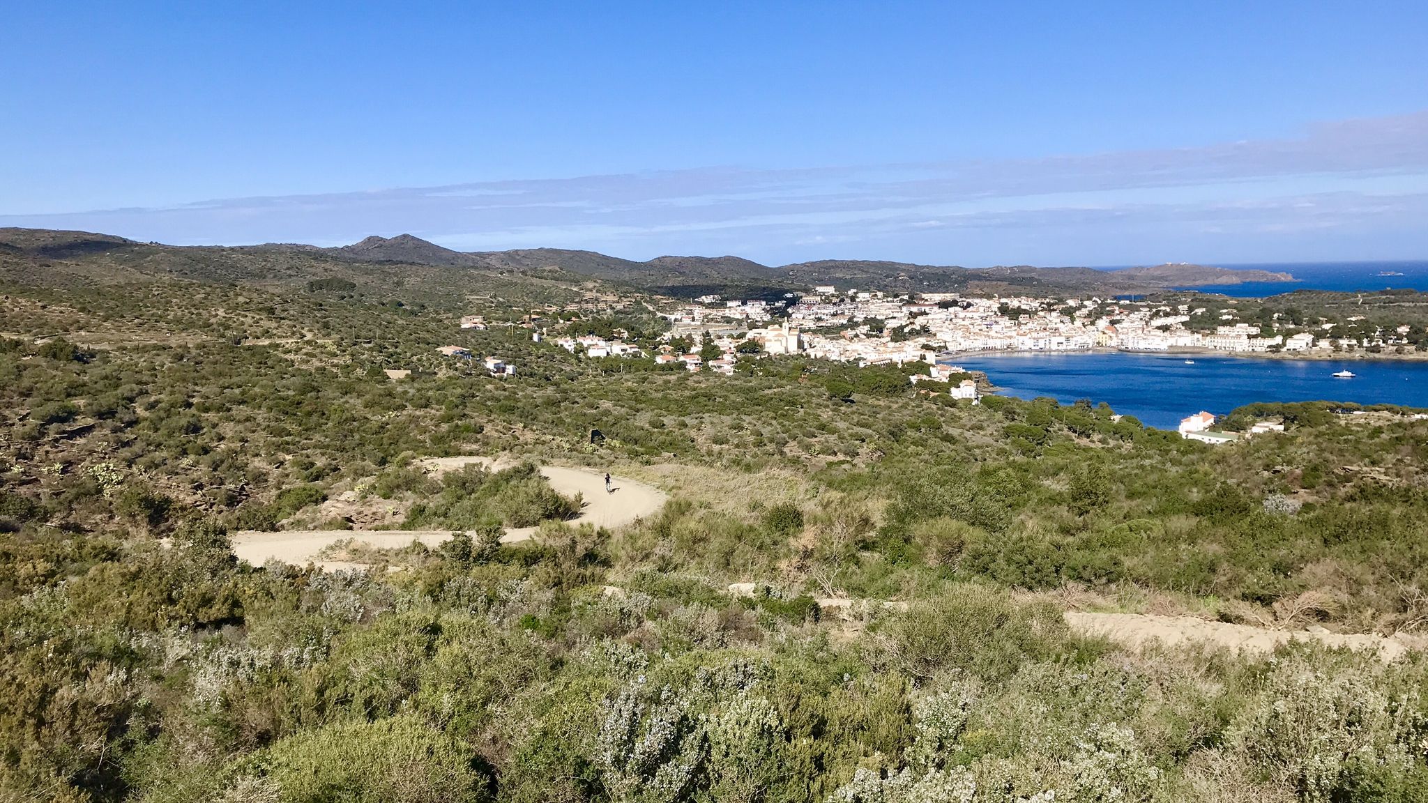
Garrotxa, Olot and Cap de Creus – gravel paradise in Spain

Catalonia and Andorra on the Pyrenean Trail – GR 11
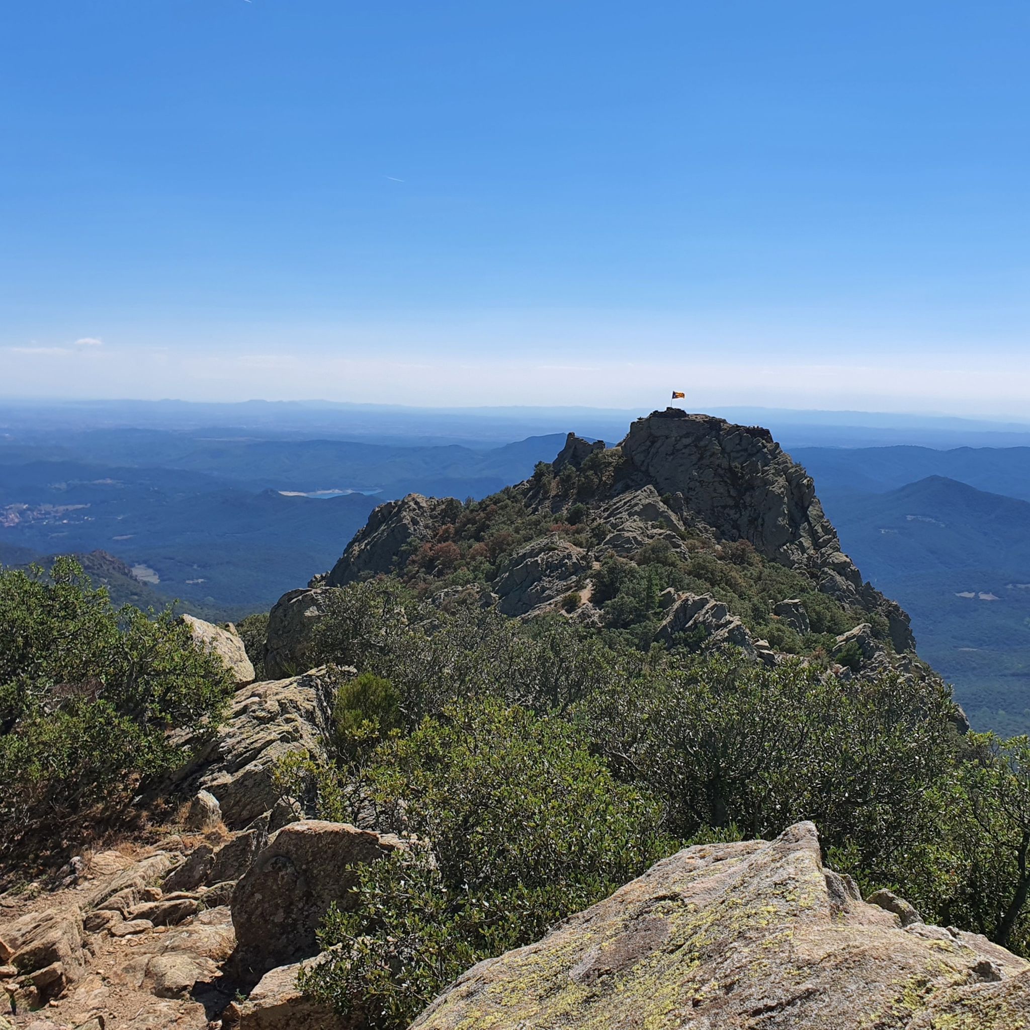
MTB Trails around Alta Garrotxa-Massís de les Salines
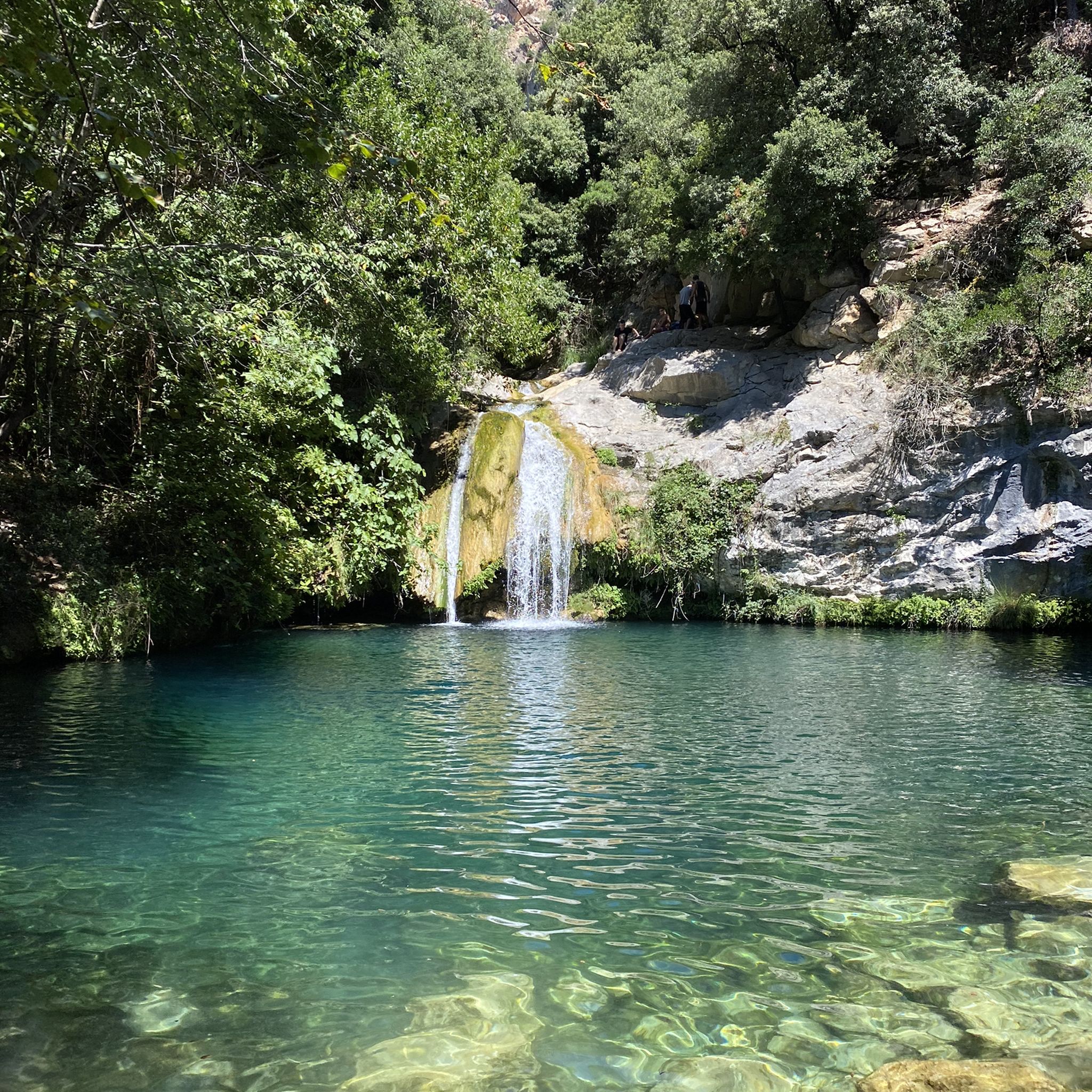
Hiking around Alta Garrotxa-Massís de les Salines
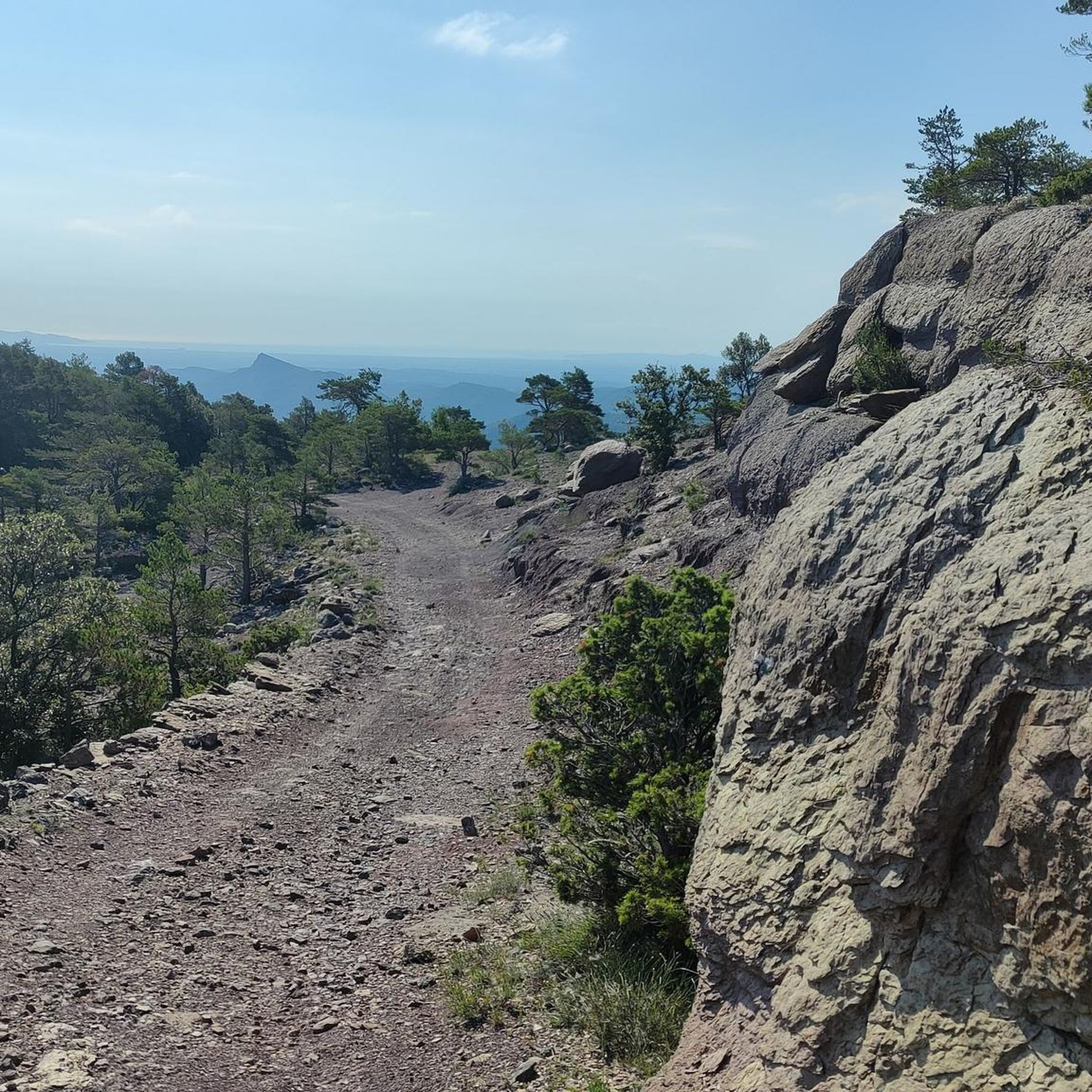
Cycling around Alta Garrotxa-Massís de les Salines
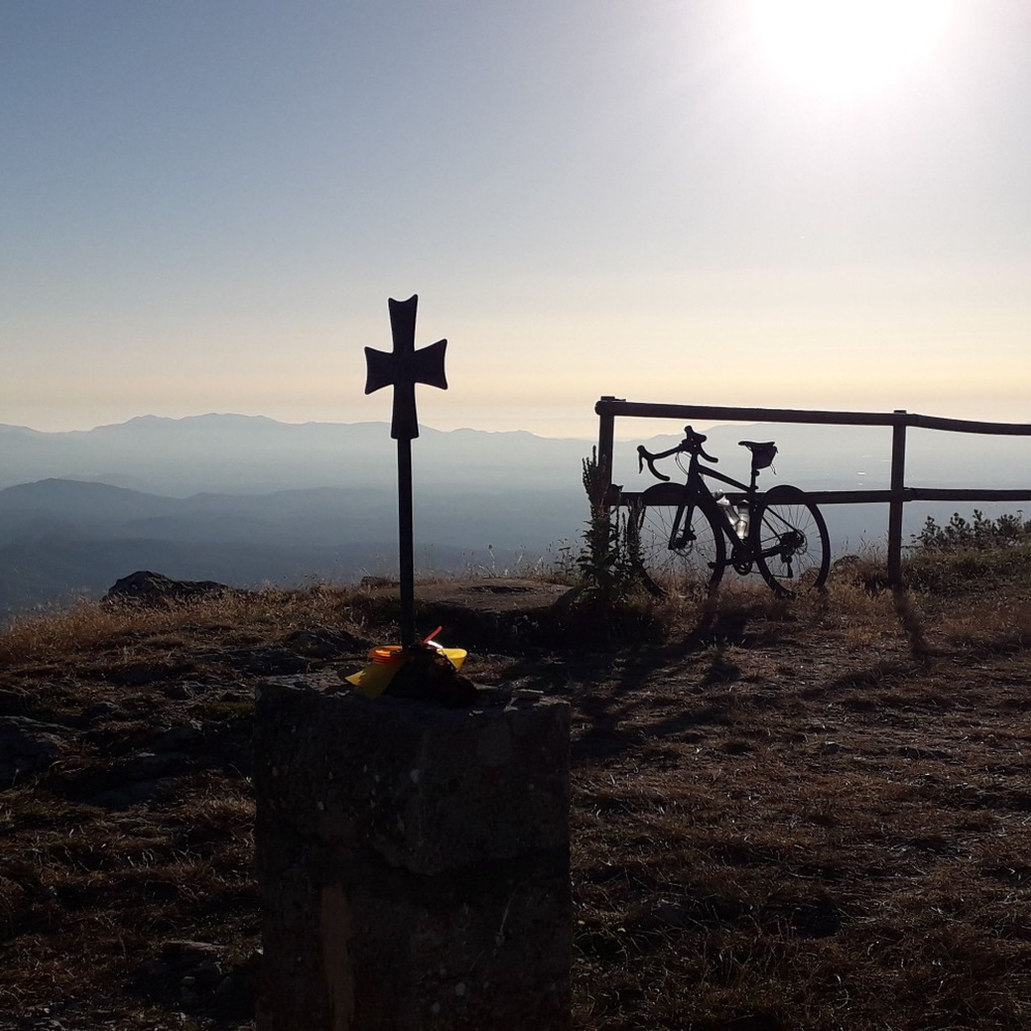
Road Cycling Routes around Alta Garrotxa-Massís de les Salines
Running Trails around Alta Garrotxa-Massís de les Salines

Gravel biking around Alta Garrotxa-Massís de les Salines
Other adventures around Alta Garrotxa-Massís de les Salines


Tips from the Community

View of the impressive bridge.
0
0

Camprodon is a small town in the province of Girona with a long history behind it: it was taken and burned in several wars over the centuries. Today, it is a quiet place located in the valley where the Ter and Ritort rivers meet.
1
0


The Paracolls pass is the summit of several hikes that crisscross the surrounding area. It is a clear pass which offers very beautiful panoramas.
0
0
This trail is a very unique passage of the GR 10 with its very tight serpentines and its ground covered with natural “slabs”. At the end of its 22 turns, you arrive at a clear spot offering a superb view of Arles-sur-Tech and the Vallespir valley.
0
0
The village developed in the Vallespir valley, along the Tech, the main river in the area. This small town organized around its abbey is today a crossroads for hikers. It connects several trails and offers all the necessary facilities: transport, accommodation, shops.
0
0

Camprodon is a charming little Catalan town located near the French border. There you will find the birthplace of the composer Isaac Albeniz (Spanish composer from the end of the 19th century), shops and a new old bridge.
2
0
Frequently Asked Questions
What kind of terrain can I expect on mountaineering routes in Alta Garrotxa-Massís de les Salines?
The region is characterized by a rugged pre-Pyrenean landscape with prominent limestone relief and distinct karst topography. You'll encounter jagged peaks, deep valleys, gorges, and impressive rock walls. Extensive forests of Scots pine, beech, and various oak trees also cover much of the area, providing diverse natural environments for your climbs.
Are there mountaineering routes suitable for different skill levels?
Yes, Alta Garrotxa-Massís de les Salines offers routes for various abilities. You'll find moderate ascents, such as the Puig de Bestracà loop from Oix, which covers 9.2 miles with a moderate challenge. For those seeking more demanding climbs, there are also difficult routes like the Coll de les Falgueres loop from Lamanère, featuring significant elevation gain over 10.1 miles.
What are some notable landmarks or points of interest along the mountaineering routes?
Beyond the natural beauty, the region is rich in cultural heritage. You might encounter Romanesque hermitages and sanctuaries. For example, the Sant Aniol d'Aguja Hermitage and the Sanctuary of Mare de Déu de les Salines are significant sites. There are also various mountain huts like Refugi Bassegoda Can Galan and Talaixà Refuge that can be found in the area.
What kind of elevation gain can I expect on these mountaineering routes?
Elevation gains vary significantly depending on the route's difficulty. Moderate routes, like the Pont Nou of Camprodon – Hermitage of Sant Antoni loop from Camprodon, involve around 390 meters of ascent. More challenging routes, such as the Col de Paracolls loop from Arles-sur-Tech, can feature over 930 meters of elevation gain.
Are there any circular mountaineering routes in the Alta Garrotxa-Massís de les Salines?
Yes, many routes in the region are designed as loops, allowing you to start and end at the same point. Examples include the Puig de Bestracà loop from Oix, the Pont Nou of Camprodon – Hermitage of Sant Antoni loop from Camprodon, and the Coll de les Falgueres loop from Lamanère.
What do other mountaineers enjoy most about the routes in Alta Garrotxa-Massís de les Salines?
The routes in Alta Garrotxa-Massís de les Salines are highly rated by the komoot community, with an average score of 4.8 stars. Mountaineers often praise the rugged pre-Pyrenean landscapes, the challenging climbs, and the diverse natural environment, including extensive forests and impressive rock formations.
Are there any routes that offer particularly stunning viewpoints?
The region is known for its dramatic mountain landscapes and high peaks, offering expansive scenic views. The Mare de Déu del Mont Summit, for instance, is a challenging climb that rewards with panoramic vistas. Similarly, the Puig de les Bruixes loop leads to summits like Puig de les Bruixes, Puig Antic, and Comanegra, all providing breathtaking views of the surrounding area.
What are some of the highest peaks I can explore in Alta Garrotxa-Massís de les Salines?
The region boasts 184 named mountains. The highest peak is Comanegra, reaching 1,557 meters (5,108 ft). Other significant peaks include Roc de Fraussa, Roc del Compatdor, and Puig de Bassegoda, all offering rewarding mountaineering experiences.
Can I find routes that are less crowded in Alta Garrotxa-Massís de les Salines?
The Alta Garrotxa-Massís de les Salines is celebrated for its wild, unspoilt character and isolated nature. While some routes are more popular, the extensive network of trails and the rugged terrain mean it's often possible to find quieter paths, especially away from the most well-known spots, allowing for a more solitary mountaineering experience.
What natural features are prominent in the Alta Garrotxa-Massís de les Salines region?
The region is defined by its dramatic limestone relief, creating distinct karst topography with jagged peaks, deep valleys, gorges, and rugged cliffs. You'll also find lush forests of Scots pine, beech, and various oak trees, as well as crystal-clear streams, natural pools, and cascading waterfalls like those in Gorgs de la Muga.
Are there any routes that pass by mountain passes?
Yes, the region features several mountain passes that can be incorporated into mountaineering routes. Notable passes include Pou de la Neu Pass, Capsacosta Pass, and Manrella Pass, which offer unique perspectives and often serve as strategic points along longer trails.
How many mountaineering routes are available in Alta Garrotxa-Massís de les Salines?
There are at least 5 dedicated mountaineering routes detailed in this guide, ranging from moderate to difficult. The broader region, however, offers an extensive network of paths and trails suitable for mountaineering, catering to a wide array of preferences and skill levels.
Most popular routes around Alta Garrotxa-Massís de les Salines
Most popular attractions around Alta Garrotxa-Massís de les Salines

Get inspired with the komoot mobile app


Explore more
Browse the best Mountain Hikes & Routes in other regions.
