The best hikes from bus stations around the Rhone-Rharound thee Canal
4.5
(89441)
434,675
hikers
9,939
hikes
Bus station hiking trails around the Rhone-Rhine Canal offer diverse landscapes, from serene waterside paths to elevated ridge walks. The region is characterized by its intimate connection with the Doubs river, where the canal often runs parallel, creating varied scenery. Hikers encounter wooded and steep banks, transitioning from cow pastures to cliffs and high forests, particularly upstream. The area also features views of the Doubs and Loue valleys, with trails traversing ridges that provide panoramic vistas.
Best bus station hiking…
Last updated: October 8, 2026
4.7
(842)
2,953
hikers
10.3km
02:39
50m
50m
Moderate hike. Good fitness required. Easily-accessible paths. Suitable for all skill levels.
4.6
(635)
2,522
hikers
7.02km
02:31
220m
220m
Moderate hike. Good fitness required. Easily-accessible paths. Suitable for all skill levels.

4.7
(702)
2,345
hikers
11.0km
03:24
360m
360m
Moderate hike. Good fitness required. Mostly accessible paths. Sure-footedness required.
4.8
(782)
2,449
hikers
25.1km
07:32
720m
720m
Hard hike. Very good fitness required. Mostly accessible paths. Sure-footedness required.
4.6
(201)
1,020
hikers
19.7km
04:59
740m
740m
Moderate hike. Good fitness required. Mostly accessible paths. Sure-footedness required.
Get access to more routes and recommendations from other explorers.
Already have an account?
Our route recommendations are based on thousands of hikes, rides, and runs completed by other people on komoot.
Start today with a free account
Your next adventure awaits.
Popular around Rhone-Rhine Canal
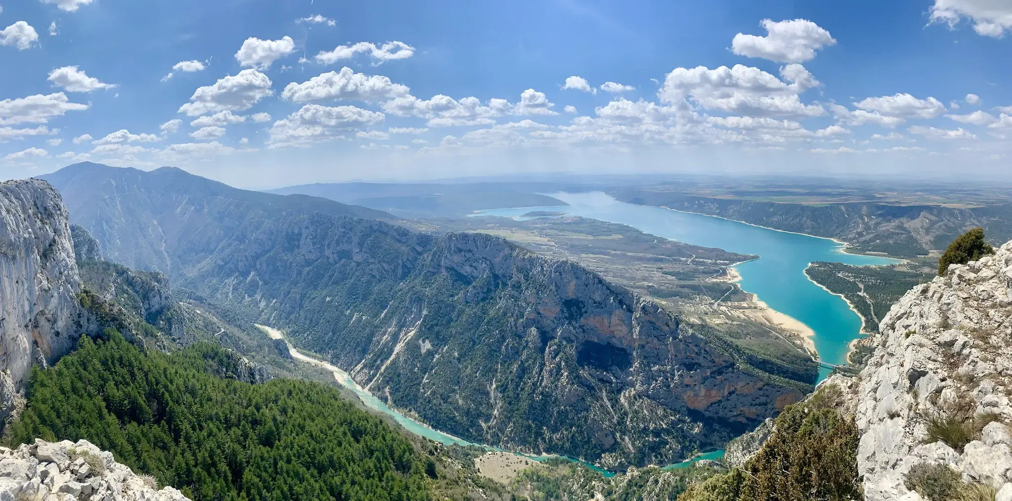
GR 4 – Crossing the south of France from Atlantic Coast to Provence

Alpine Passes Trail – hiking 700km across Switzerland

Hexatrek – The Cévennes to the Pyrenees between gorges and limestone plateau

11 Hessen trails – criss-cross through the countryside
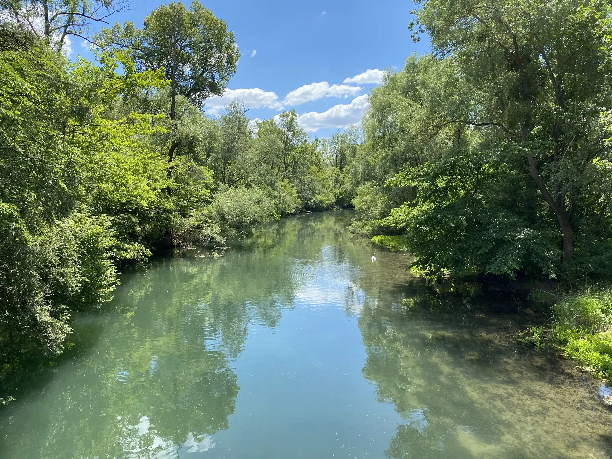
Rheinauenweg hiking path – Jungle tour for water rats
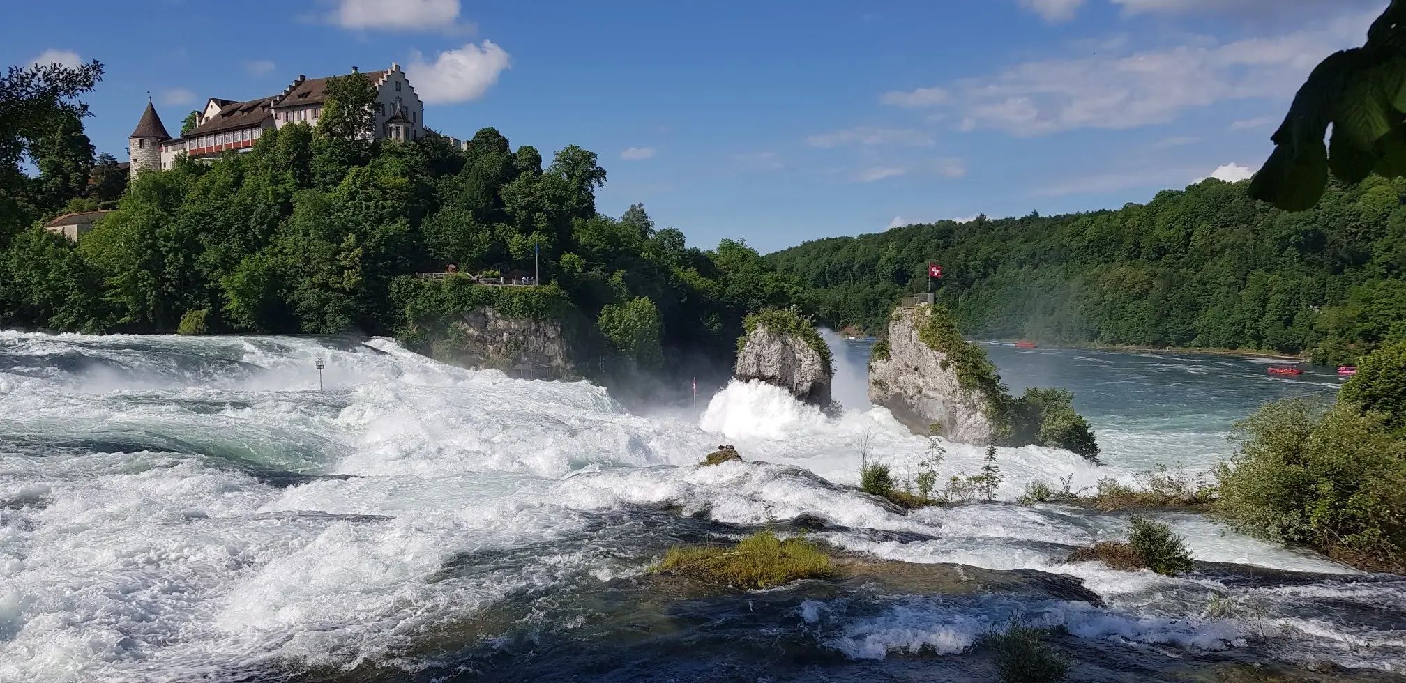
Hochrhein-Höhenweg – Forests and rivers from Germany to Switzerland
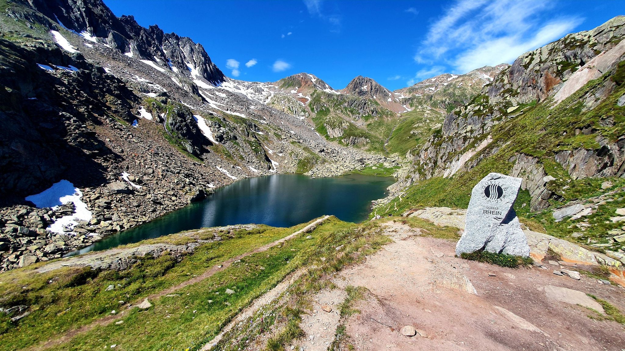
Four Springs Trail — Find flow in Switzerland's Gotthard Massif
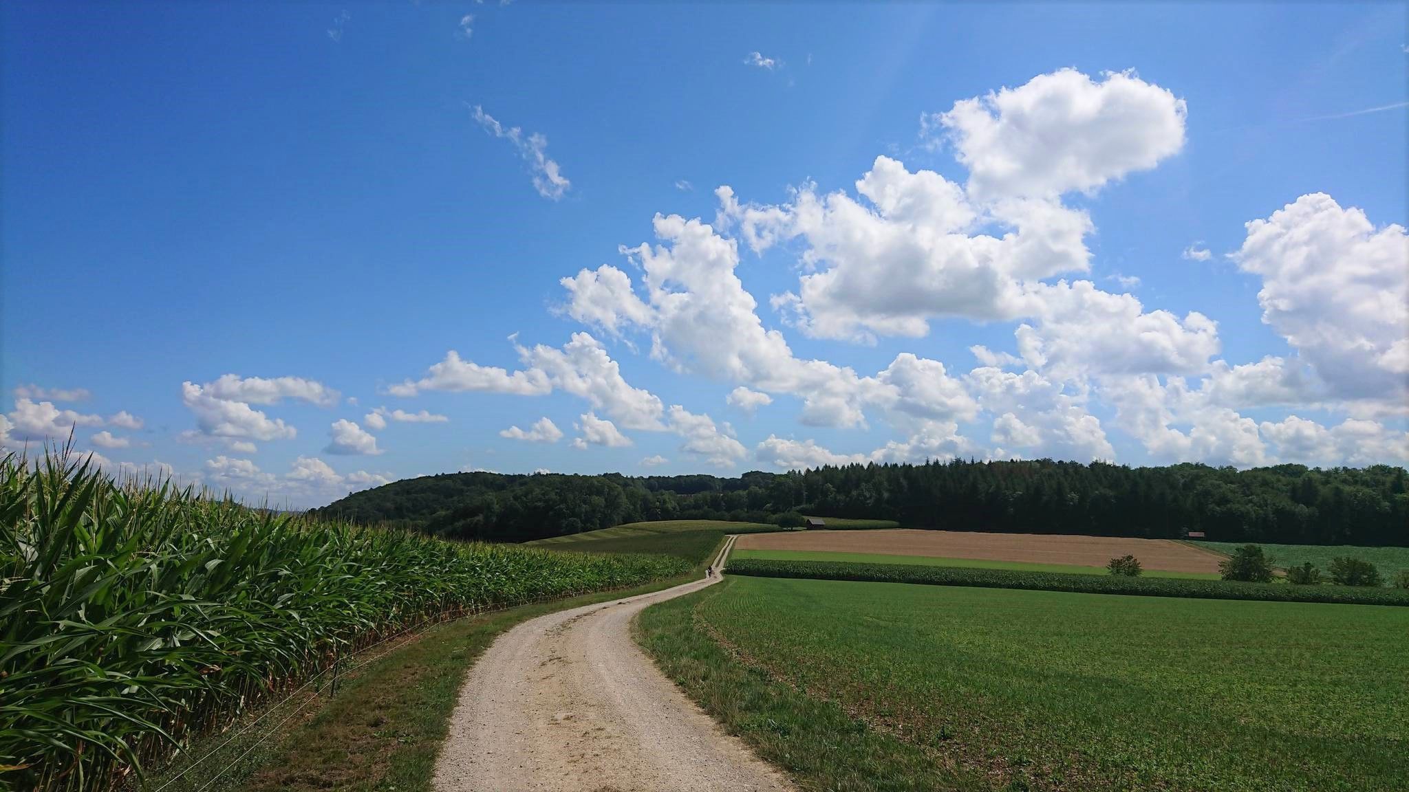
Fricktaler High Trail – Switzerland's green Frick Valley
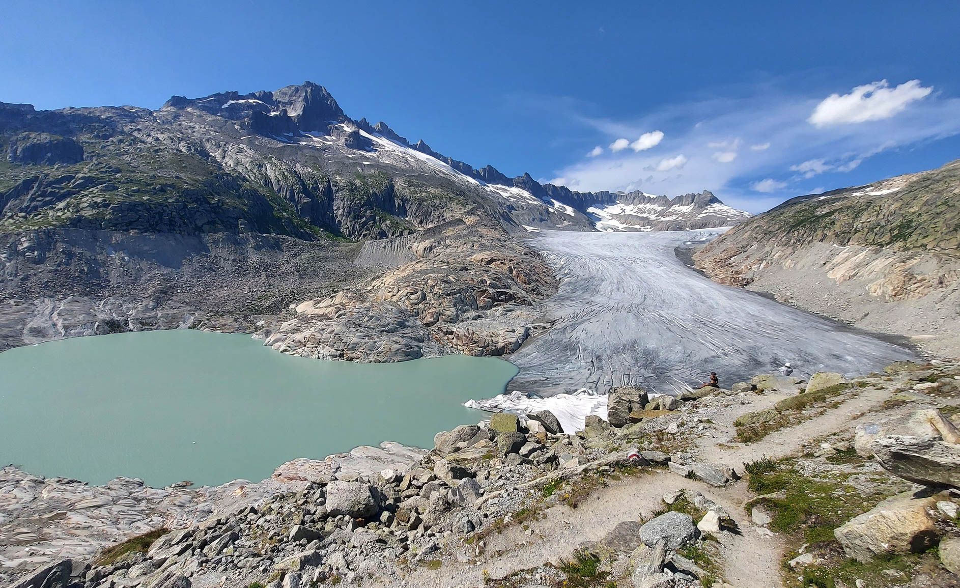
Switzerland's Furka High Trail – Two days of history and nature
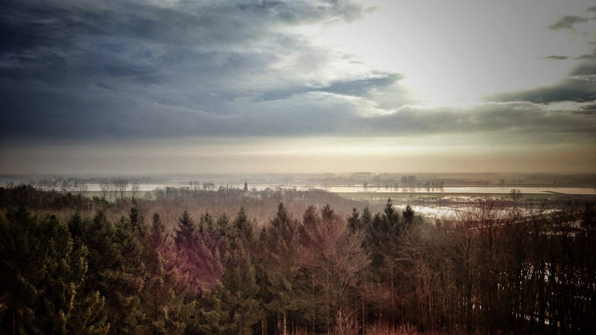
Maarten van Rossumpad – hiking from 's-Hertogenbosch to Steenwijk
Other adventures around the Rhone-Rharound thee Canal


Tips from the Community

On the shore path, you can circle the entire island and reach many attractions. At the same time, you can better let nature affect you and get away from the tourist hustle (tourism is one of the island's main sources of income).
0
0

The path definitely runs through many private properties, so you should also pay attention to the prohibition signs that demarcate private areas. Sometimes the path is also quite narrow and bordered on both sides by trimmed hedges or opaque fences. Nevertheless, it has charm and repeatedly offers great views of the lake shore, the Untersee and as far as Hegau. Incidentally, it provides insights into private garden design ;-)
0
0

The lake now boasts a beach, several bathing islands, and pedal boats. Two-thirds of it is fenced in, making it impossible to reach the shore. The natural beauty is so magnificent, yet it has been completely ruined. The photos don't reflect reality!
0
0

Unfortunately, the barbecue area at this location is no longer available. The Rhine has taken it away 🤷
3
0

Look at the noticeboard to take a photo of a train.
0
0

Beautiful hiking trails and great views.
0
0

How beautiful the consequences of a historically gigantic landslide can be
0
0

I can only underline that, it is a really beautiful path. However, parts of the path are currently not accessible because the path is under water.
1
0
Frequently Asked Questions
How many bus-accessible hiking trails are there around the Rhone-Rhine Canal?
There are over 9,800 hiking trails around the Rhone-Rhine Canal that are accessible by bus. This includes a wide range of options, from easy strolls to more challenging routes, ensuring there's something for every hiker.
Are there easy hiking options accessible by bus for beginners or families?
Yes, the Rhone-Rhine Canal region offers many easy hiking options perfect for beginners and families, with over 6,400 easy routes available. Many of these follow the canal's flat towpaths, providing gentle walks through picturesque villages and alongside the water. For a family-friendly moderate hike, consider the Drachenfelsrunde – Familienwanderung im Siebengebirge, which offers scenic views without excessive difficulty.
What kind of terrain can I expect on bus-accessible hikes along the Rhone-Rhine Canal?
The terrain varies significantly. You'll find many flat, well-maintained towpaths directly alongside the canal and the Doubs river, ideal for leisurely walks. However, especially upstream, routes can feature wooded and steep banks, with cow pastures giving way to cliffs and high forests. Some trails also traverse ridges, offering panoramic views of the Doubs and Loue valleys.
What is the best time of year to hike these bus-accessible trails?
The Rhone-Rhine Canal region is enjoyable for hiking throughout much of the year. Spring and autumn offer pleasant temperatures and beautiful scenery, with blooming wildflowers or vibrant fall foliage. Summer is also popular, though it can be warmer, making waterside paths particularly appealing. Winter hikes are possible, especially on the flatter sections, but always check local conditions.
Can I visit historical sites or castles on hikes accessible by bus?
Absolutely. The region is rich in history. Many bus-accessible routes pass by or lead to historical sites. You can explore medieval castles like the Drachenfels Castle Ruins or the Eltville Castle (Eltville Fortress). Towns like Dole also offer rich heritage, including Louis Pasteur's birthplace and a Collegiate Church, all easily reachable by public transport.
Are there any natural features like waterfalls or gorges near bus-accessible trails?
Yes, the region boasts impressive natural features. You can find trails that lead to stunning sights like the Rhine Falls or explore the dramatic landscapes of the Kreuzbach Gorge and Morgenbachtal Gorge and Waterfalls. The Grotte d'Osselle, with its underground river, is another unique natural attraction accessible near the canal.
What do other hikers enjoy most about the bus-accessible trails around the Rhone-Rhine Canal?
The area is highly rated by the komoot community, with an average score of 4.5 stars from over 77,000 ratings. Reviewers often praise the serene beauty of the canal and river, the diverse landscapes ranging from flat towpaths to wooded hills, and the charming villages and historical sites encountered along the way. The convenience of public transport access is also a frequently highlighted benefit.
Are the bus-accessible hiking trails around the Rhone-Rhine Canal dog-friendly?
Many trails along the Rhone-Rhine Canal are dog-friendly, especially the towpaths and forest routes. It's always recommended to keep dogs on a leash, particularly in nature reserves or near livestock. Ensure you carry enough water for your dog, especially on longer routes, as amenities might be sparse in some sections.
Are there circular routes available that start and end at bus stations?
Yes, many of the bus-accessible routes are designed as circular walks, allowing you to start and finish at the same bus station without needing to arrange return transport. An example of a scenic circular route is the Around the island of Reichenau, which offers beautiful views and easy navigation.
Which towns along the Rhone-Rhine Canal offer good bus connections for hikers?
Towns like Dole, Montreux-Château, and various smaller villages along the canal often serve as excellent starting points for bus-accessible hikes. Dole, in particular, is known for its rich heritage and good transport links, making it a convenient base for exploring the surrounding trails. Always check local bus schedules for specific routes and timings.
How long are the typical bus-accessible hikes in this region?
The length of bus-accessible hikes varies greatly. You can find shorter, easy walks perfect for an hour or two, as well as longer, full-day excursions. For instance, the Elfenlay dream loop is a moderate 11 km route, while the challenging Siebengebirge Seven Summits Trail extends over 25 km, both potentially reachable by bus depending on the specific starting point.
Are there opportunities to see wildlife along the bus-accessible trails?
The intimate connection of the canal with the Doubs river creates a rich habitat for wildlife. Hikers often spot birds like herons and kingfishers along the waterways. The region's alluvial forests and wetlands, particularly in areas like the "Little Alsatian Camargue," also support diverse ecosystems, offering chances to observe various species in their natural environment.
Most popular routes around the Rhone-Rharound thee Canal
Most popular attractions around the Rhone-Rharound thee Canal

Get inspired with the komoot mobile app


Explore more
Browse the best Hikes in other regions.
