The best traffic-free bike rides around the Dora Baltea
4.3
(91)
987
riders
54
rides
Gravel biking around the Dora Baltea offers diverse terrain, following the river's course through the Aosta Valley and Piedmont. The region features a mix of mountains, hills, and plains, providing varied landscapes for cyclists. Riders can navigate alongside the Dora Baltea, passing through vineyards, charming villages, and areas with ancient castles. The topography includes high mountains, forests, and pasture lands, with the river itself revealing hidden canyons and natural rock walls.
Best no traffic gravel bike trails around the Dora…
Last updated: August 8, 2026
1
riders
16.1km
01:25
430m
430m
Moderate gravel ride. Good fitness required. Mostly paved surfaces. Suitable for all skill levels.
4.6
(8)
36
riders
46.3km
03:08
260m
260m
Moderate gravel ride. Good fitness required. Mostly paved surfaces. Suitable for all skill levels.

Sign up for free
12
riders
33.2km
03:25
1,100m
1,110m
Hard gravel ride. Very good fitness required. Mostly paved surfaces. Suitable for all skill levels.
12
riders
33.0km
03:22
1,130m
1,130m
Hard gravel ride. Very good fitness required. Mostly paved surfaces. Suitable for all skill levels.
5.0
(1)
18
riders
68.2km
05:58
1,940m
1,940m
Hard gravel ride. Very good fitness required. Mostly paved surfaces. Suitable for all skill levels.
Get access to more routes and recommendations from other explorers.
Sign up for free
Already have an account?
Our route recommendations are based on thousands of hikes, rides, and runs completed by other people on komoot.
Start today with a free account
Your next adventure awaits.
Login or Signup
Popular around Dora Baltea

Alta Via n. 1 of the Aosta Valley — a walk among Italian giants
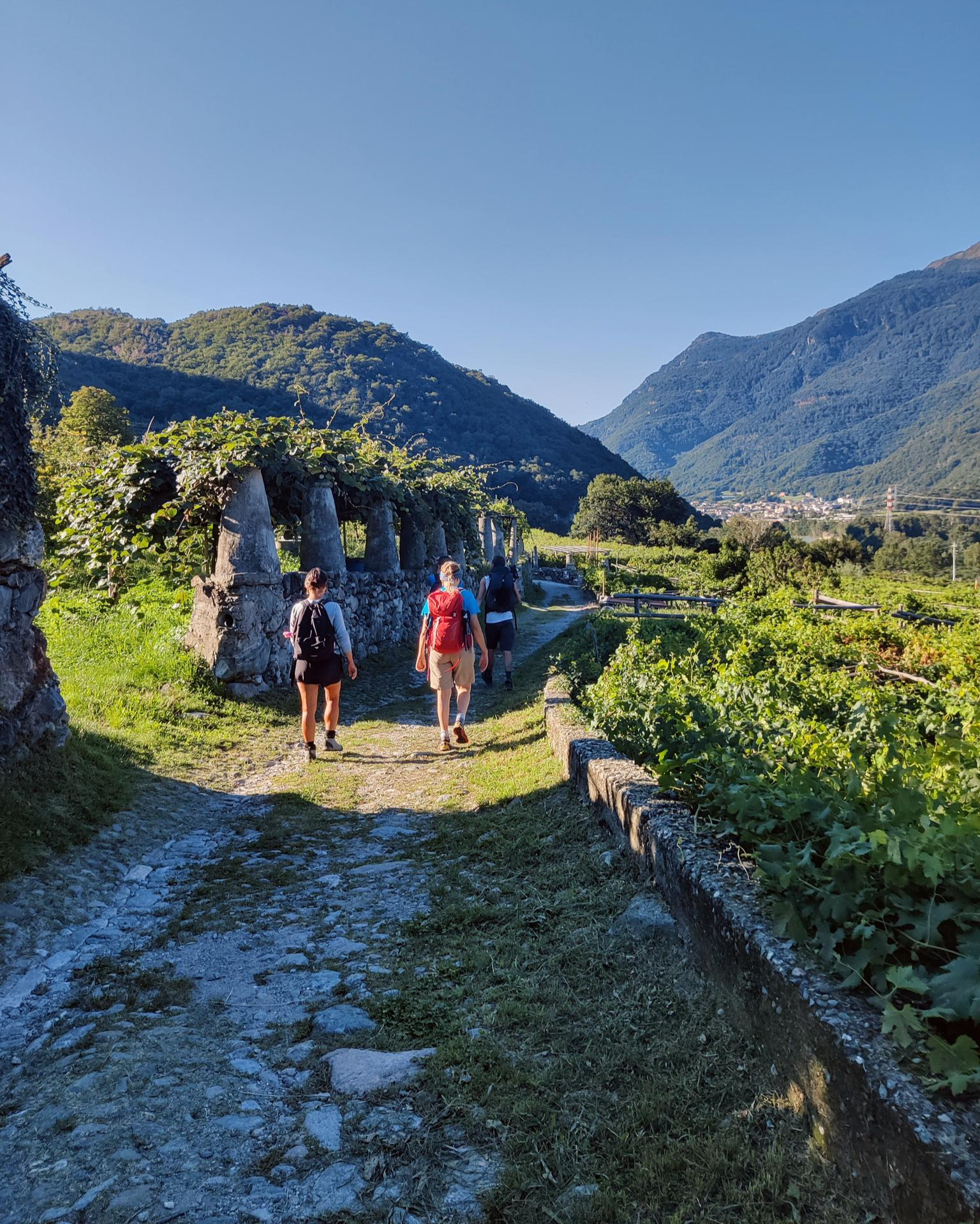
Piemont's Via Francigena
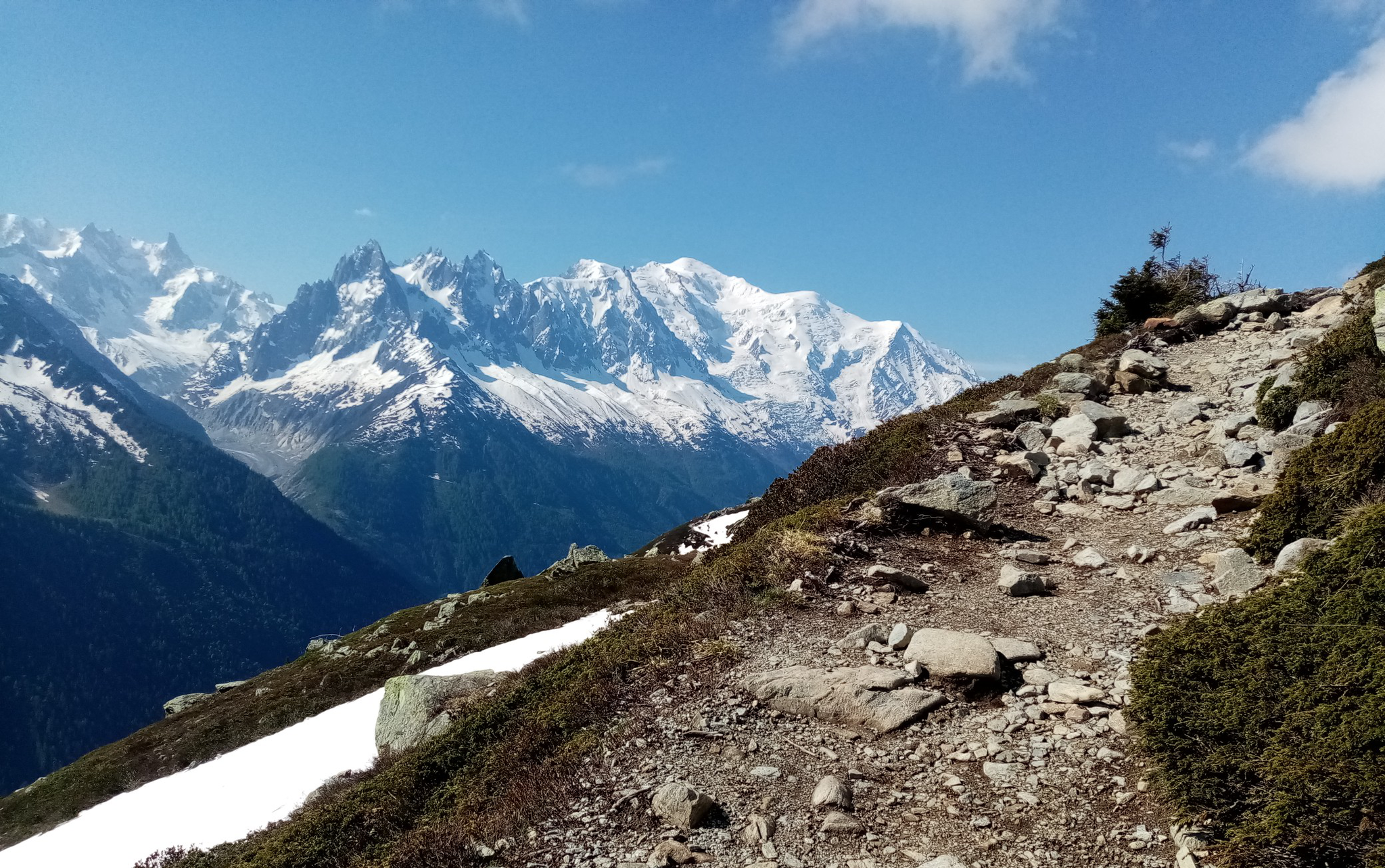
Ultra-Trail du Mont-Blanc – following the footsteps of legends

GTA Central Piedmont – Dense forests, lakes and impressive waterfalls
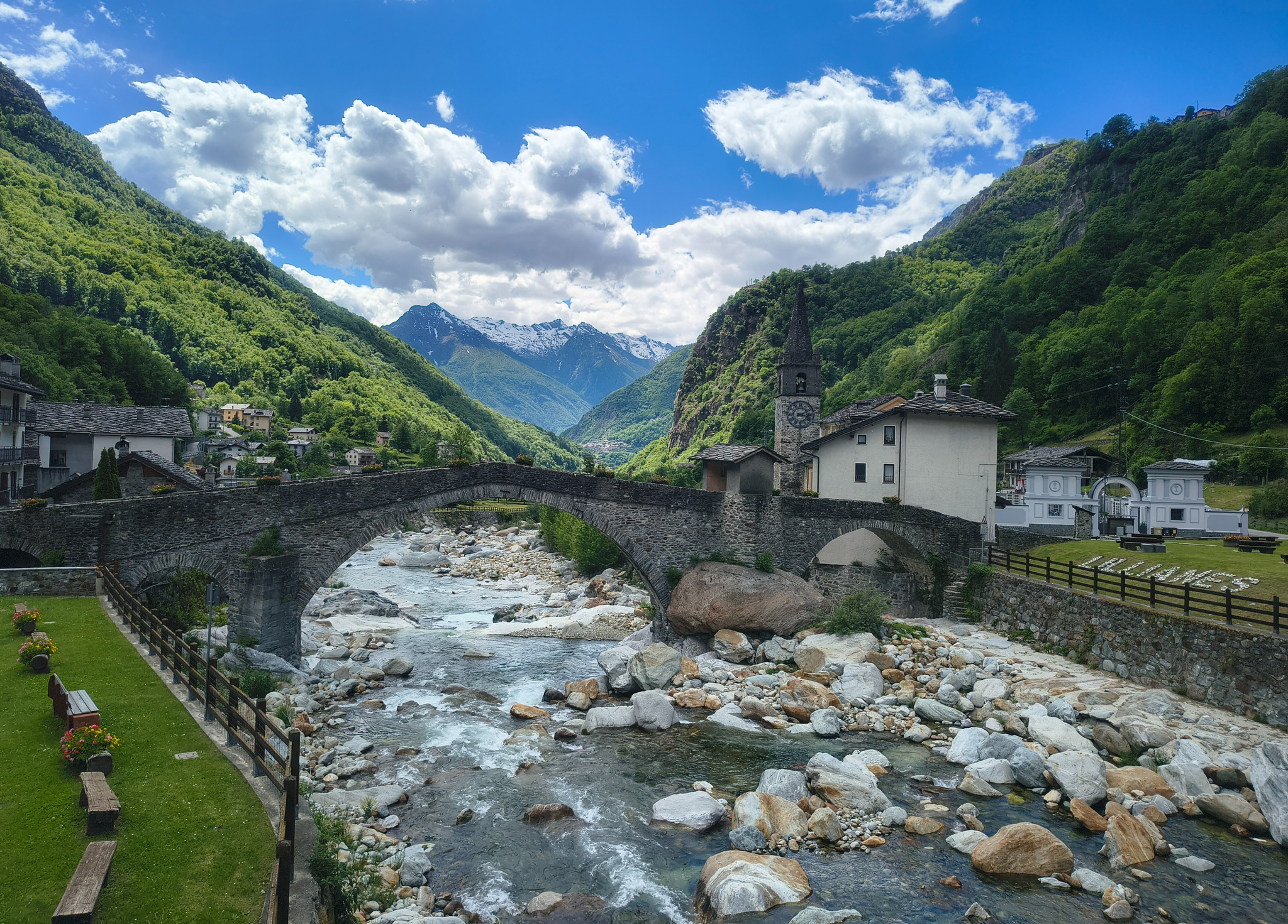
Three days on the Cammino Balteo – The historic Aosta Valley

Cammino Balteo – castles, vineyards and trails of the Aosta Valley
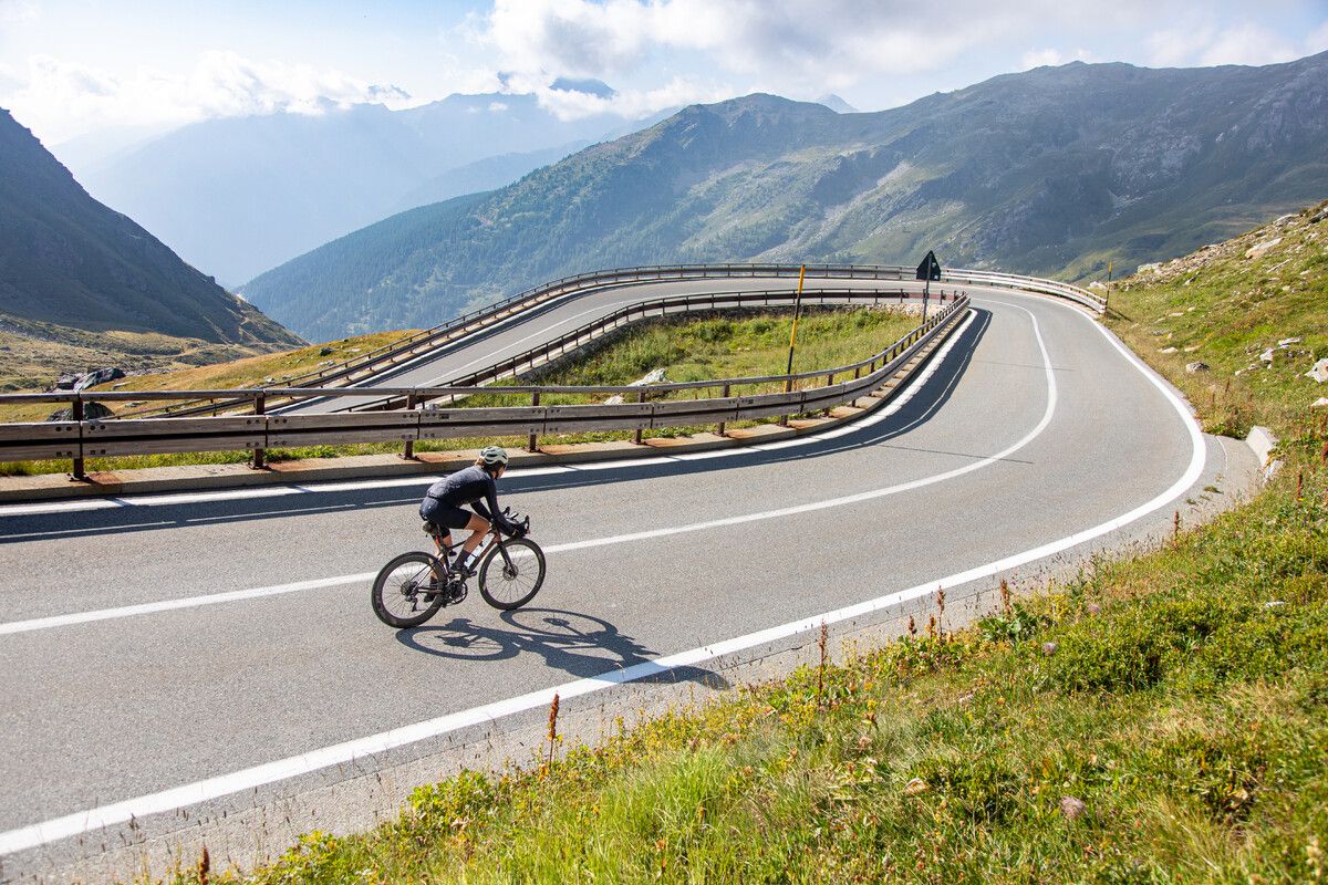
Road cycling in the Aosta Valley – major climbs and alpine routes
Must-do gravel routes in the Aosta Valley – the heart of the Italian Alps

Alta Via n. 2 of the Aosta Valley — high peaks and beautiful valleys in Italy
The alpine northwest – mountain gravel between Piedmont and the Aosta Valley
Other adventures around the Dora Baltea


Tips from the Community

The crystal clear and very cool mountain water is channelled downhill for irrigation. An refreshing cool-down is ensured at any time.
0
0

First Chambave-Pantaleon, then up to the Matterhorn. Make sure to have a rear light on your bike, as you will go through tunnels with a lot of traffic.
0
0

The Tour du Mont Fallère is a charming circular hiking route that covers about 35 kilometers in the heart of the Aosta Valley, winding around the mountain of the same name amidst panoramic peaks, forests, and alpine pastures. Designed to be completed in two or three stages on foot or by mountain bike, the trail passes through several high-altitude structures in the area, including the historic Rifugio Chaligne and the Rifugio Mont Fallère.
0
0
Carved out of the eco-sustainable renovation of a typical stone and wood hut at an altitude of 1,943 meters, Rifugio Chaligne in Gignod offers 32 beds and a cuisine based on dairy products from local pastures. Reachable on foot in just over an hour from Buthier or by mountain bike along the rural road, the structure is part of the famous Tour du Mont Fallère hiking circuit.
1
0

Fantastic views, paddling amidst nature between lakes and with the Alps in the background
0
0

Arpuilles is a hamlet in the municipality of Aosta, nestled on the hill north of the city at an altitude of about 1000 meters. The village, along with nearby Signayes, is part of that system of mid-mountain settlements that the Salassi—the Celtic population who inhabited the valley before the Roman conquest—seemed to prefer to the valley floors, and which over the centuries has maintained a rural character distinct from that of the underlying capital. So strong was this sense of identity that in the past the inhabitants of Arpuilles and Signayes even attempted to separate from the municipality of Aosta to form an autonomous municipality. The inhabited core consists of stone and wood houses arranged along the road that climbs from the plain, surrounded by meadows, pastures, and deciduous woods. From Arpuilles, one enjoys an open view of the Aosta basin and the surrounding mountains: Monte Emilius, Becca di Nona, and, in the distance, the peaks of Gran Paradiso. Its sunny position, sheltered from the north winds, has historically made it an area for spring and autumn grazing. Here passes the terminal section of the Ru Neuf, the ancient irrigation canal from 1327 that brought water from Étroubles to the hill of Aosta.
0
0

In this stretch, the Via Francigena follows the ancient Roman route of the Via delle Gallie, where the paving retains the ruts of millennia-old carts. Connecting Augusta Prætoria to the Alpine passes, this strategic road shaped the landscape with rest stops and villages, some of whose names still indicate the distance in miles from the city. Traveling it today means experiencing a direct connection between the spiritual journey of medieval pilgrims and the engineering of the Romans.
0
0
Saint-Germain Castle (or Montjovet Castle), of uncertain origins, marked the history of the Aosta Valley, passing from the Savoy to the Challant family, before finally returning to the Savoy in 1438. Used as a military garrison by Amadeus VIII, it was abandoned in 1661 when the garrison was transferred to the Bard Fort. Completing the site is the Church of Saint-Germain: a small Romanesque building that, through frescoes and architectural details, preserves the spiritual memory of the local community.
1
0
Frequently Asked Questions
How many no-traffic gravel bike trails are available in the Dora Baltea region?
The Dora Baltea region offers a wide selection of traffic-free gravel bike trails. You can find over 50 routes, ranging from easy to difficult, allowing you to explore the diverse landscapes without vehicle interference.
What is the best time of year for gravel biking in Dora Baltea?
The most favorable time for gravel biking in the Dora Baltea region is from late spring to autumn. During these seasons, the climate is generally pleasant, and the trails are more accessible, allowing you to fully enjoy the scenic beauty.
What kind of terrain can I expect on Dora Baltea's no-traffic gravel trails?
The terrain along the Dora Baltea is incredibly varied. You'll encounter sections that are predominantly flat and easy, especially along the riverbanks, but also more demanding stretches with unpaved surfaces as you venture into the hills. The routes traverse mountains, hills, and plains, often passing through vineyards, charming villages, and alongside ancient castles. Some parts, particularly beyond Saint-Vincent, can be quite adventurous with less clear signage.
Are there any easy, beginner-friendly no-traffic gravel routes?
While many routes offer a challenge, there are options suitable for beginners. For instance, the On the hill of Montjovet route is rated as moderate but offers a good introduction to the region's gravel biking with manageable elevation. Look for routes marked as 'easy' or 'moderate' for a less strenuous experience.
What natural features can I see along the no-traffic gravel bike trails?
The Dora Baltea region is rich in natural beauty. You can expect to see the unique grey waters of the river, fed by glaciers from the Mont Blanc massif. The landscape features diverse topography, from high mountains to forests and fertile plains. Keep an eye out for hidden canyons, high natural rock walls, and the serene Lake Pistono and the Ivrea Lakes Reserve, which offer significant naturalistic interest.
Are there historical landmarks or castles to explore near the gravel routes?
Absolutely! The region is dotted with historical and cultural landmarks. You'll find numerous castles, such as the Royal Castle of Sarre, Saint-Pierre, Aymavilles Castle, Fénis Castle, and the majestic Forte di Bard. The city of Aosta also boasts Roman sites, and the historic village of Donnas features a Roman arch and road. These offer fascinating stops along your ride.
What do other gravel bikers enjoy most about the no-traffic trails in Dora Baltea?
The Dora Baltea region is highly rated by the komoot community, with an average score of 4.4 stars. Reviewers often praise the stunning panoramas, the journey through nature and history, and the quiet, traffic-free experience that allows for immersive exploration of the diverse landscapes, from vineyards to charming villages.
Are the no-traffic gravel trails in Dora Baltea suitable for families?
Many sections of the Dora Baltea Cycle Path are predominantly flat and easy, making them suitable for families. However, some stretches can be unpaved and more challenging. It's advisable to check individual route descriptions for difficulty and terrain to ensure they align with your family's cycling abilities. The scenic beauty and historical stops can make for a memorable family outing.
Can I find circular no-traffic gravel bike routes in Dora Baltea?
Yes, there are several excellent circular routes that allow you to start and end in the same location. An example is the Naviglio di Ivrea – Lake Candia loop from Casale di Mazze', which offers a scenic ride through varied landscapes. These loops are perfect for exploring without the need for shuttle services.
Are there places to eat or drink along the no-traffic gravel routes?
While the trails themselves are traffic-free, many routes pass through or near charming villages and towns where you can find cafes, restaurants, and accommodation. It's a good idea to plan your route in advance and check for amenities in the settlements you'll pass through, especially in areas like Aosta or near Lake Candia.
Where can I park my car when starting a no-traffic gravel bike tour?
Parking is generally available in the towns and villages that serve as starting points for many routes. For example, if you're planning to ride the Roisan Village and Church loop, you might find parking in Aosta. Always check local parking regulations and availability at your chosen starting location.
Are there any viewpoints along the quiet gravel routes in Dora Baltea?
Many routes offer stunning viewpoints, especially as you gain elevation or ride alongside the river. The diverse topography, from high mountains to river valleys, provides numerous opportunities for panoramic views. Keep an eye out for designated viewpoints or natural clearings that offer vistas of the Mont Blanc massif, the Dora Baltea river, and the surrounding castles and villages, such as the View of Courmayeur and Mount Chetif.
Most popular routes around the Dora Baltea
Most popular attractions around the Dora Baltea

Get inspired with the komoot mobile app


Explore more
Browse the best Gravel rides in other regions.
