The best mountain hikes around the Dora Baltea
4.8
(34)
580
hikers
12
hikes
Mountaineering around the Dora Baltea offers access to the Aosta Valley's dramatic alpine landscapes, including the Mont Blanc massif and other significant peaks like the Matterhorn and Gran Paradiso. The region is characterized by high-altitude terrain, glaciers, and diverse rock faces, providing a range of challenging ascents. Numerous mountain huts facilitate multi-day expeditions into these formidable environments.
Best mountaineering routes around the Dora Baltea
- The most popular mountaineering route is Aiguille Noire de Peuterey loop from Bivacco Lorenzo Borelli-Carlo Pivano…
Last updated: August 1, 2026
5.0
(6)
48
hikers
Hard mountaineering route. Good fitness required. Sure-footedness, sturdy shoes and alpine experience required.
5.0
(2)
20
hikers
16.4km
06:40
910m
900m
Hard mountaineering route. Very good fitness required. Sure-footedness, sturdy shoes and alpine experience required.

Sign up for free
4.6
(5)
19
hikers
Hard mountaineering route. Good fitness required. Sure-footedness, sturdy shoes and alpine experience required.
17
hikers
8.09km
03:56
670m
680m
Moderate mountaineering route. Good fitness required. Mostly accessible paths. Sure-footedness required.
13
hikers
16.4km
08:09
1,270m
1,260m
Hard mountaineering route. Very good fitness required. Sure-footedness, sturdy shoes and alpine experience required.
5
hikers
Moderate mountaineering route. Good fitness required. Mostly accessible paths. Sure-footedness required.
5.0
(1)
3
hikers
4.60km
02:25
390m
380m
Hard mountaineering route. Good fitness required. Sure-footedness, sturdy shoes and alpine experience required.
5
hikers
9.93km
08:07
1,150m
1,150m
Hard mountaineering route. Very good fitness required. Sure-footedness, sturdy shoes and alpine experience required.
4.0
(2)
4
hikers
9.73km
04:39
800m
800m
Moderate mountaineering route. Good fitness required. Mostly accessible paths. Sure-footedness required.
5.0
(1)
4
hikers
21.5km
08:48
1,200m
1,200m
Hard mountaineering route. Very good fitness required. Sure-footedness, sturdy shoes and alpine experience required.
Get access to more routes and recommendations from other explorers.
Sign up for free
Already have an account?
Our route recommendations are based on thousands of hikes, rides, and runs completed by other people on komoot.
Start today with a free account
Your next adventure awaits.
Login or Signup
Popular around Dora Baltea

Alta Via n. 1 of the Aosta Valley — a walk among Italian giants
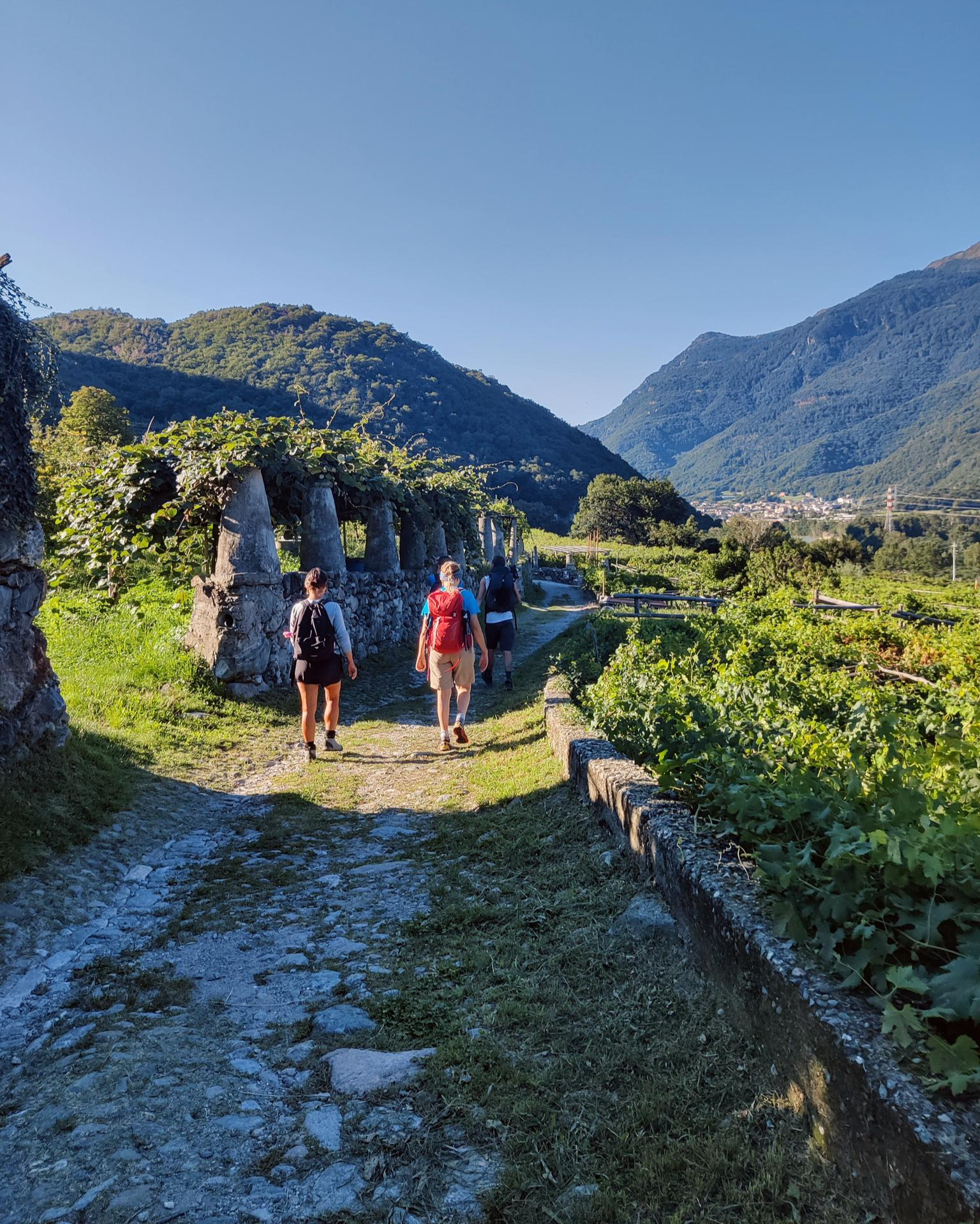
Piemont's Via Francigena
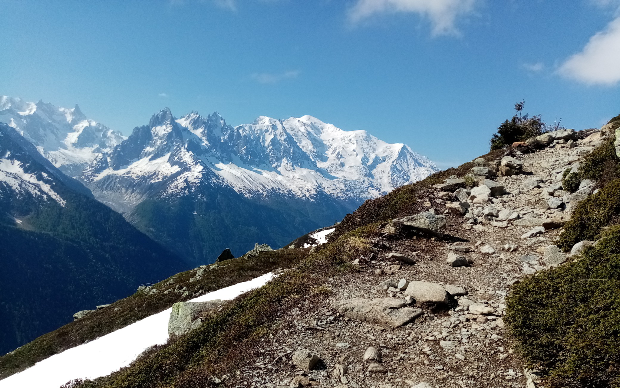
Ultra-Trail du Mont-Blanc – following the footsteps of legends

GTA Central Piedmont – Dense forests, lakes and impressive waterfalls
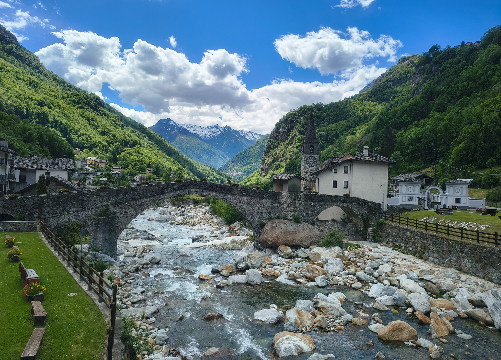
Three days on the Cammino Balteo – The historic Aosta Valley

Cammino Balteo – castles, vineyards and trails of the Aosta Valley
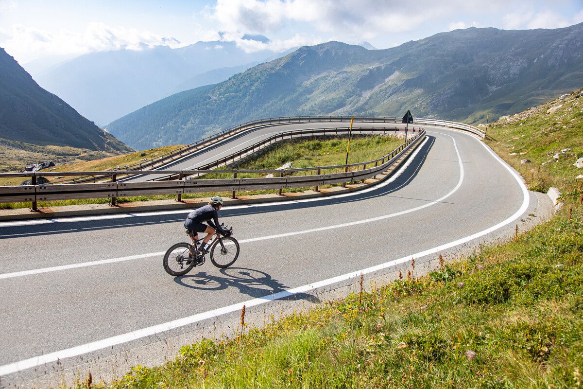
Road cycling in the Aosta Valley – major climbs and alpine routes
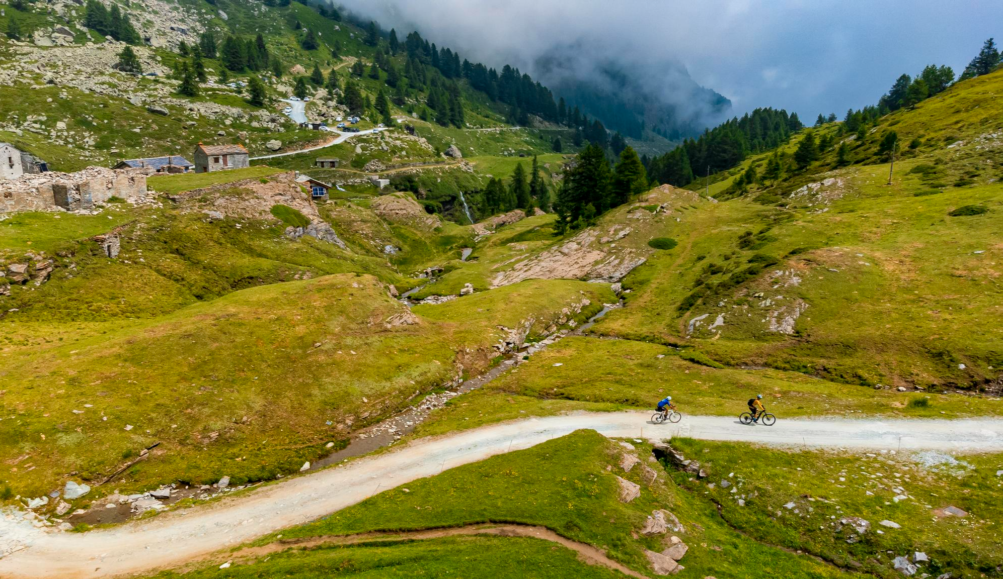
Must-do gravel routes in the Aosta Valley – the heart of the Italian Alps

Alta Via n. 2 of the Aosta Valley — high peaks and beautiful valleys in Italy
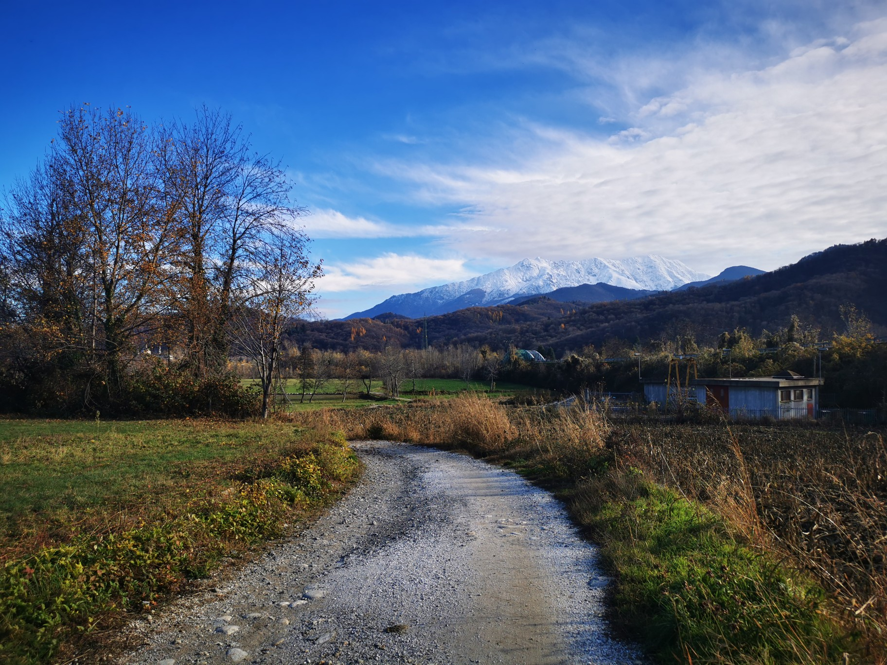
The alpine northwest – mountain gravel between Piedmont and the Aosta Valley
Other adventures around the Dora Baltea


Tips from the Community

Vtan is the starting point for reaching Mount Fallere and the refuge of the same name, but not only that, because from this small village some beautiful white roads branch off, very suitable for MTB, as well as other minor excursions, but always rewarding for the grandiose panoramas. Very suggestive, in the pine forest, is the "meditation trail", a path that invites "meditative walking", a practice that combines yoga, breathing, self-control... more information about it can be found at the nearby Hotel, which also provides a map of possible excursions.
0
0

GTC30 very challenging ride. Tackle it equipped with appropriate footwear, bad weather protection, and water and food supplies
0
0

Breathtaking views, check out the cake!
0
0

Amazing 360 degree view of Mont Blanc, Gran Paradiso and Matterhorn.
1
0

The via ferrata isn't difficult, although retracing it isn't easy. Overall, the entire route, trail plus via ferrata, is quite challenging. The view you get when you reach the refuge, however, makes up for all the effort!
0
0

My video of the Courmayeur Col de la Seigne and Col des Chavannes loop: https://youtu.be/W30tTDxSXjM
1
0

Very easy and short hike to this point from the parking lot. Little less than an hour at an easy pace. I always love to dive in the little cold lake, unforgettable experience
0
0

Steep and rugged climb. On the way back, follow the ski slope to the left. The descent is steep, but on soft, level terrain.
0
0
Frequently Asked Questions
How many mountaineering routes are there in the Dora Baltea region?
There are over 15 mountaineering routes available around the Dora Baltea, ranging from moderate to difficult. The region is known for its challenging alpine terrain.
What makes mountaineering in the Dora Baltea region unique?
Mountaineering here offers access to the dramatic alpine landscapes of the Aosta Valley, including views of the Mont Blanc massif. The region is characterized by high-altitude terrain, active glaciers like the Miage and Brenva, and diverse rock faces, providing a range of challenging ascents and stunning vistas.
What do other mountaineers say about the routes in Dora Baltea?
The routes in Dora Baltea are highly rated by the komoot community, with an average score of 4.8 stars from over 50 reviews. Mountaineers often praise the towering alpine peaks, extensive glaciers, and varied rock climbing opportunities.
Are there any moderate mountaineering routes in the Dora Baltea area?
Yes, there are several moderate routes. For example, the Rifugio Bertone loop from Courmayeur is a moderate 8.5 km route with over 700 meters of elevation gain, offering great views without the extreme difficulty of some other ascents. Another moderate option is the Courmayeur – Rifugio Maison Vieille loop from Courmayeur, covering nearly 10 km.
Are there circular mountaineering routes available?
Many routes in the Dora Baltea region are designed as loops, allowing you to return to your starting point. Popular circular options include the Aiguille Noire de Peuterey loop from Bivacco Lorenzo Borelli-Carlo Pivano, a challenging 5.5 km route, and the Rifugio Maison Vieille – Cabane Coarail loop from Rifugio Monte Bianco, a longer 16.7 km option.
What natural features can I expect to see on mountaineering routes?
The region is rich in natural beauty. You'll encounter glacial landscapes, alpine lakes, and dramatic mountain peaks. Notable viewpoints include View of Courmayeur and Mount Chetif, and the Monte Chétif Summit and Madonna Statue. The Dora Baltea itself is fed by glaciers like Pré de Bar, Miage, and Brenva.
Are there any historical or cultural landmarks near the mountaineering routes?
While the focus is on natural landscapes, the Dora Baltea valley is dotted with historical sites. You can find medieval castles such as Mazzè Castle, Verres Castle, and Forte di Bard along the river. The town of Aosta also features ancient Roman sites. These can often be integrated into hiking itineraries or visited as part of your trip.
What is the best time of year for mountaineering around the Dora Baltea?
The best time for mountaineering is typically during the warmer months, from late spring to early autumn (June to September), when snowmelt has receded from lower elevations and weather conditions are generally more stable. However, due to its glacial origins, the Dora Baltea region maintains high water flow even in summer, and high-altitude routes can retain snow later into the season.
Are there any routes that offer views of glaciers or glacial lakes?
Absolutely. The Blue glacial river flowing past Mont Blanc – Miage Glacier and Lake loop from Rifugio Monte Bianco is an excellent choice. This 14.2 km route specifically leads through stunning glacial landscapes and past alpine lakes, offering direct views of the Miage Glacier.
Are there any routes that lead to prominent summits or viewpoints?
Yes, many routes offer incredible summit experiences and panoramic views. The Via Ferrata Trail – Mont Chétif Summit and Statue loop from Rifugio Monte Bianco is a challenging route that takes you to the Monte Chétif Summit and Madonna Statue, providing expansive views of the Mont Blanc massif and surrounding valleys.
Are there any mountain huts or refuges along the routes?
Yes, the region has a network of mountain huts that facilitate multi-day expeditions and provide rest stops. Routes like the Rifugio Maison Vieille – Cabane Coarail loop from Rifugio Monte Bianco connect mountain refuges, offering extensive views and opportunities for overnight stays. Rifugio Giorgio Bertone is another well-known refuge in the area.
Most popular routes around the Dora Baltea
Most popular attractions around the Dora Baltea

Get inspired with the komoot mobile app


Explore more
Browse the best Mountain Hikes & Routes in other regions.
