The best waterfall hikes and walks around the Dora Baltea
4.4
(6327)
38,533
hikers
43
hikes
Waterfall hiking trails around the Dora Baltea are characterized by the region's dramatic Alpine origins, where the Dora Baltea river carves its way through the Aosta Valley. The landscape transitions from high-alpine environments to forests, hills, and plains, offering diverse scenery for hikers. The area features numerous tributaries and hidden canyons, which contribute to the presence of impressive waterfalls. This varied topography provides a range of hiking experiences, from riverside paths to more elevated routes.
Best waterfall hiking trails around…
Last updated: November 7, 2026
4.7
(13)
39
hikers
10.8km
04:35
690m
690m
4.9
(8)
34
hikers
19.5km
05:45
520m
520m
Hard hike. Very good fitness required. Mostly walkable paths. Sure-footedness required.

4.5
(11)
67
hikers
17.4km
04:45
250m
250m
Moderate hike. Good fitness required. Easily walkable paths.
5.0
(2)
21
hikers
8.19km
03:02
520m
520m
Moderate hike. Good fitness required. Mostly walkable paths. Sure-footedness required.
4.3
(4)
38
hikers
20.2km
07:18
960m
960m
Hard hike. Very good fitness required. Mostly walkable paths. Sure-footedness required.
Get access to more routes and recommendations from other explorers.
Already have an account?
Our route recommendations are based on thousands of hikes, rides, and runs completed by other people on komoot.
Start today with a free account
Your next adventure awaits.
Popular around Dora Baltea
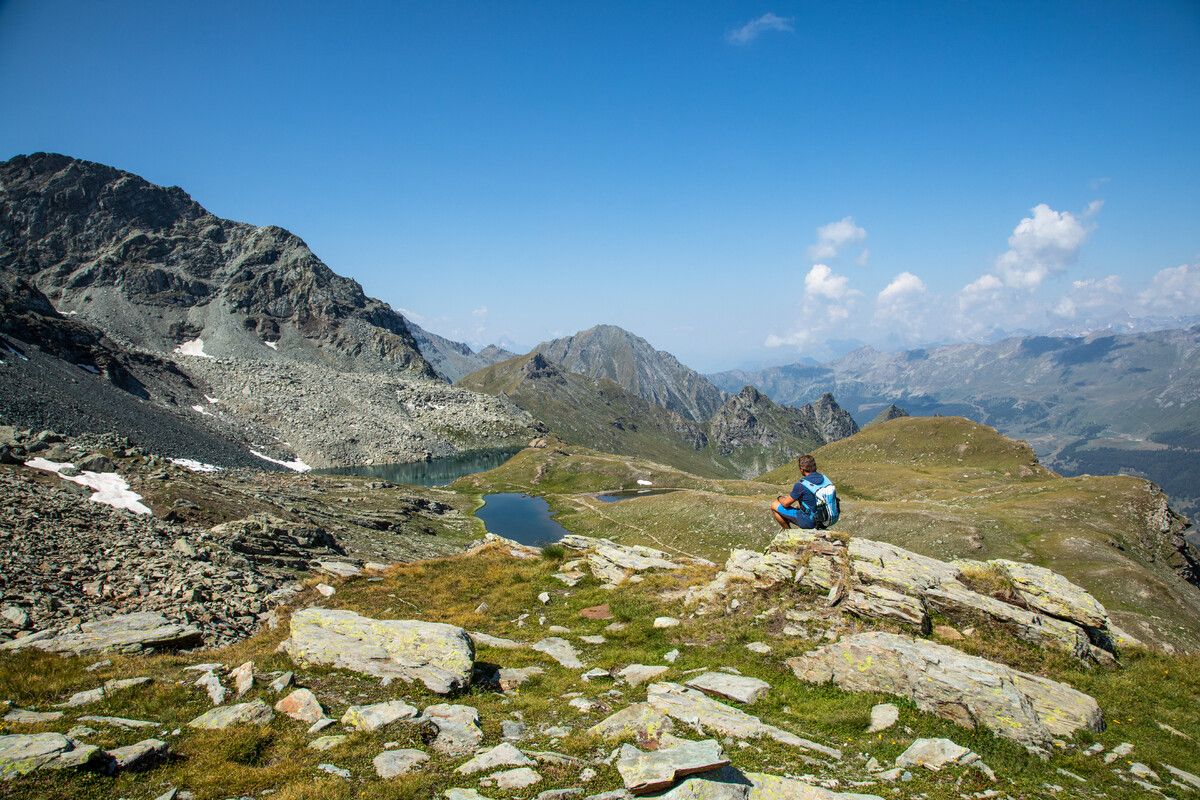
Alta Via n. 1 of the Aosta Valley — a walk among Italian giants
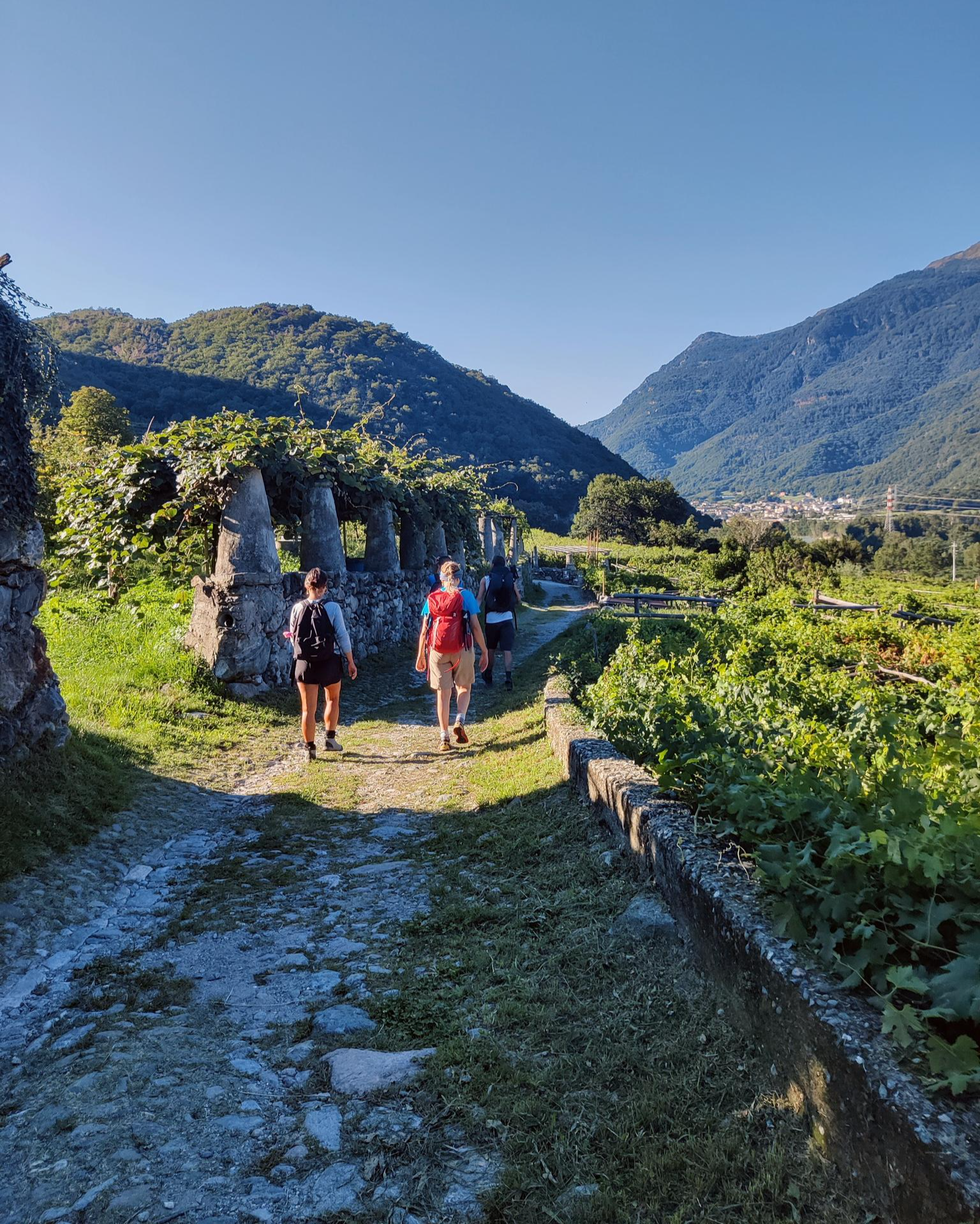
Piemont's Via Francigena
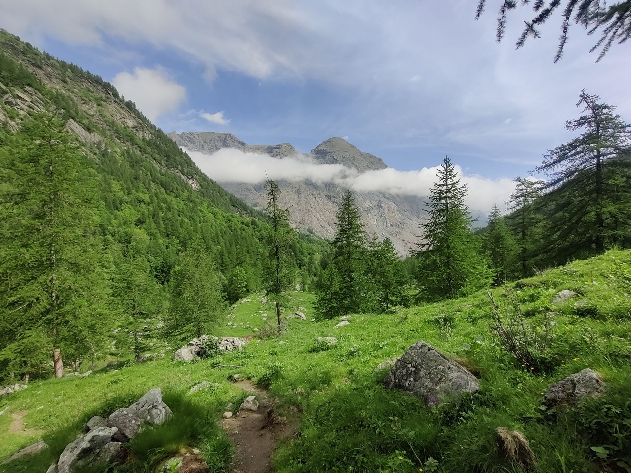
GTA Central Piedmont – Dense forests, lakes and impressive waterfalls
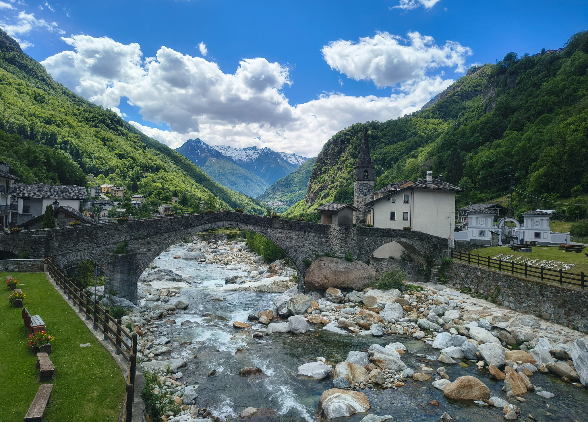
Three days on the Cammino Balteo – The historic Aosta Valley
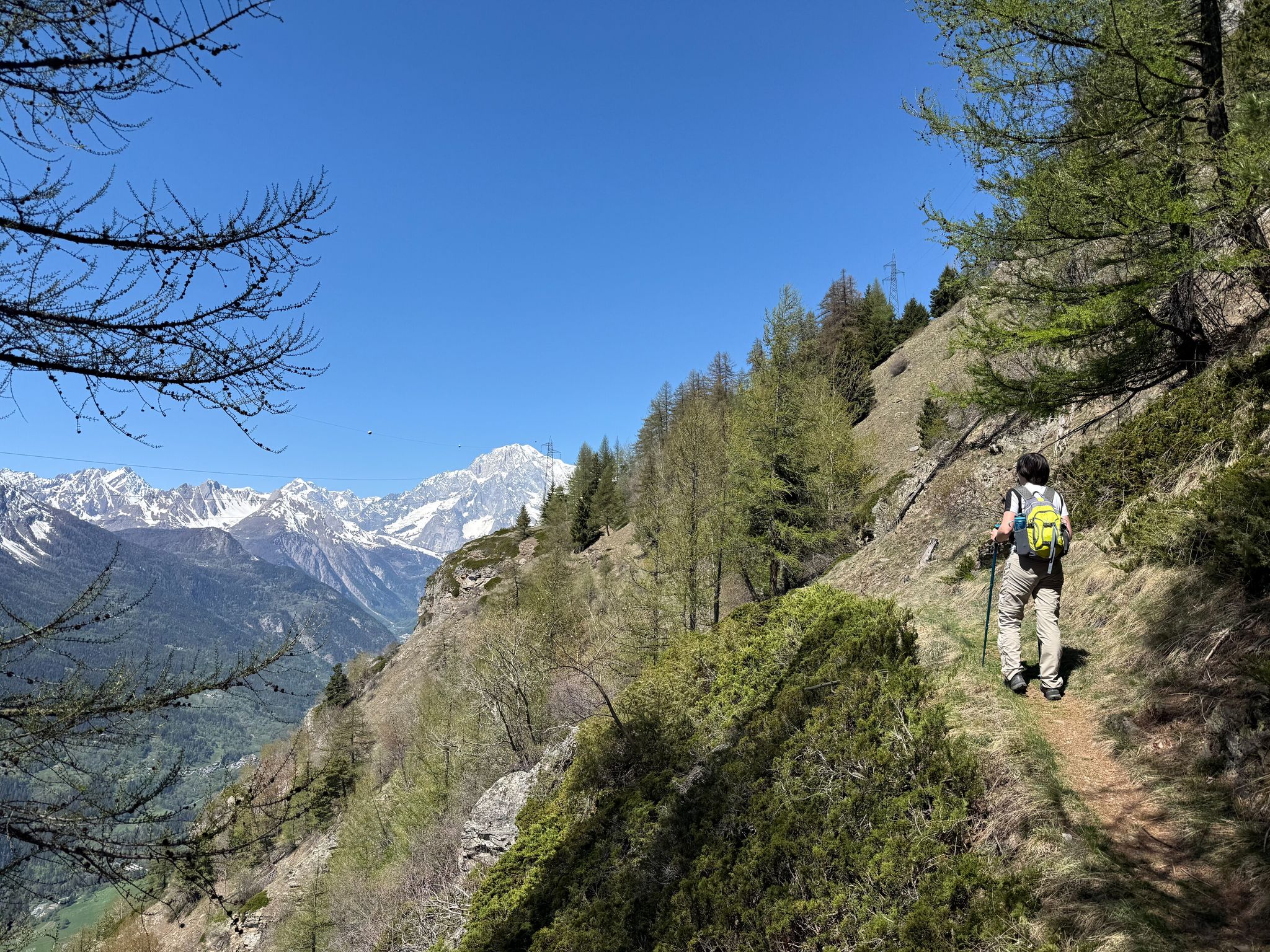
Cammino Balteo – castles, vineyards and trails of the Aosta Valley
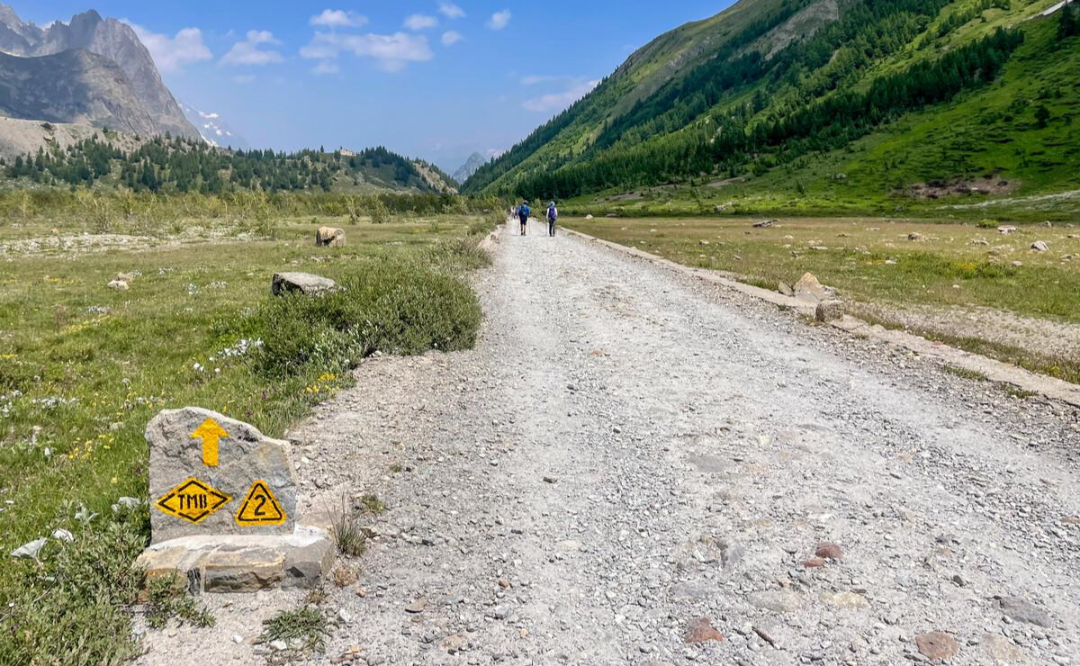
Alta Via n. 2 of the Aosta Valley — high peaks and beautiful valleys in Italy
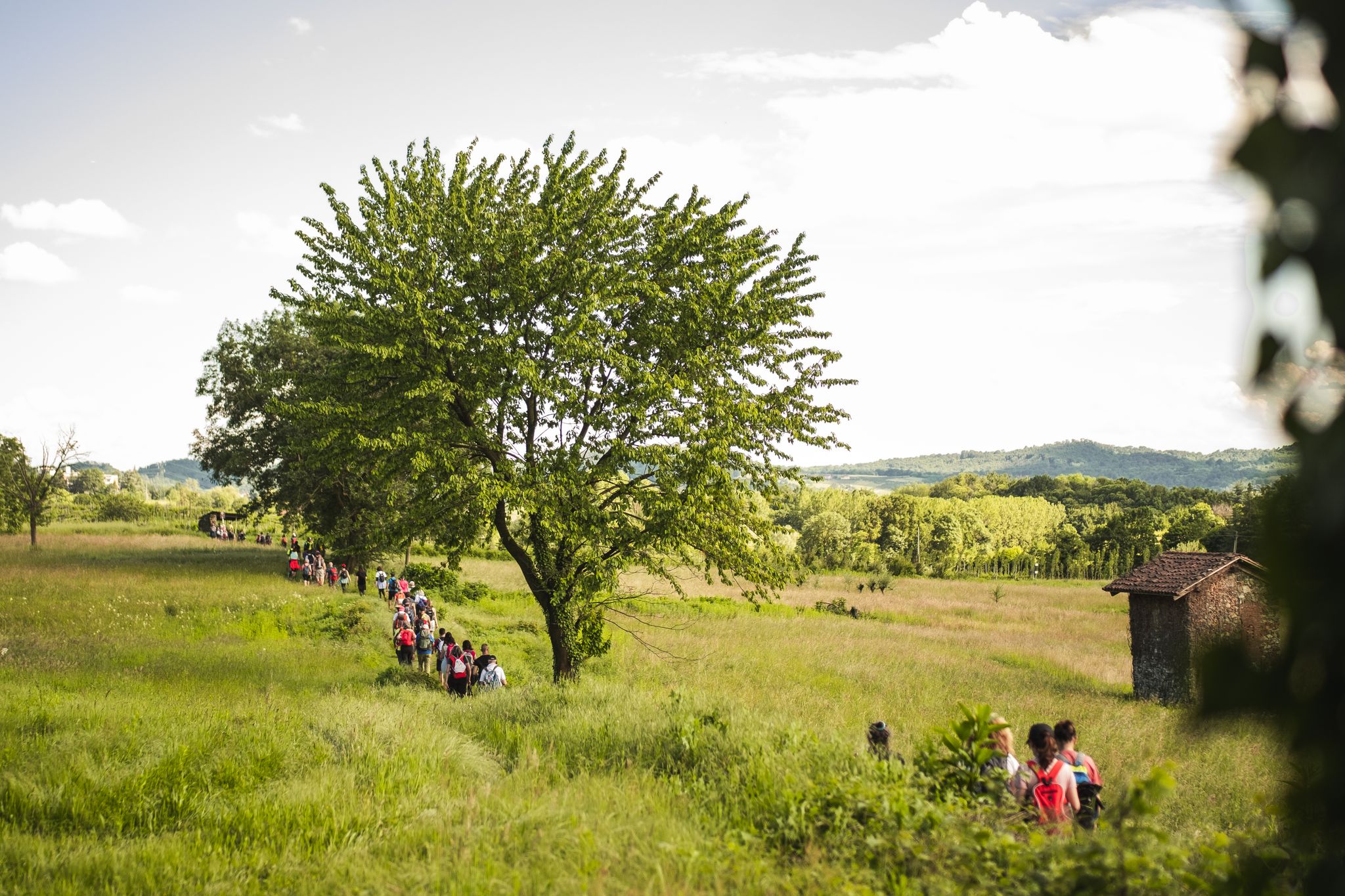
Via Francigena in Canavese – complete route and 'for all' section
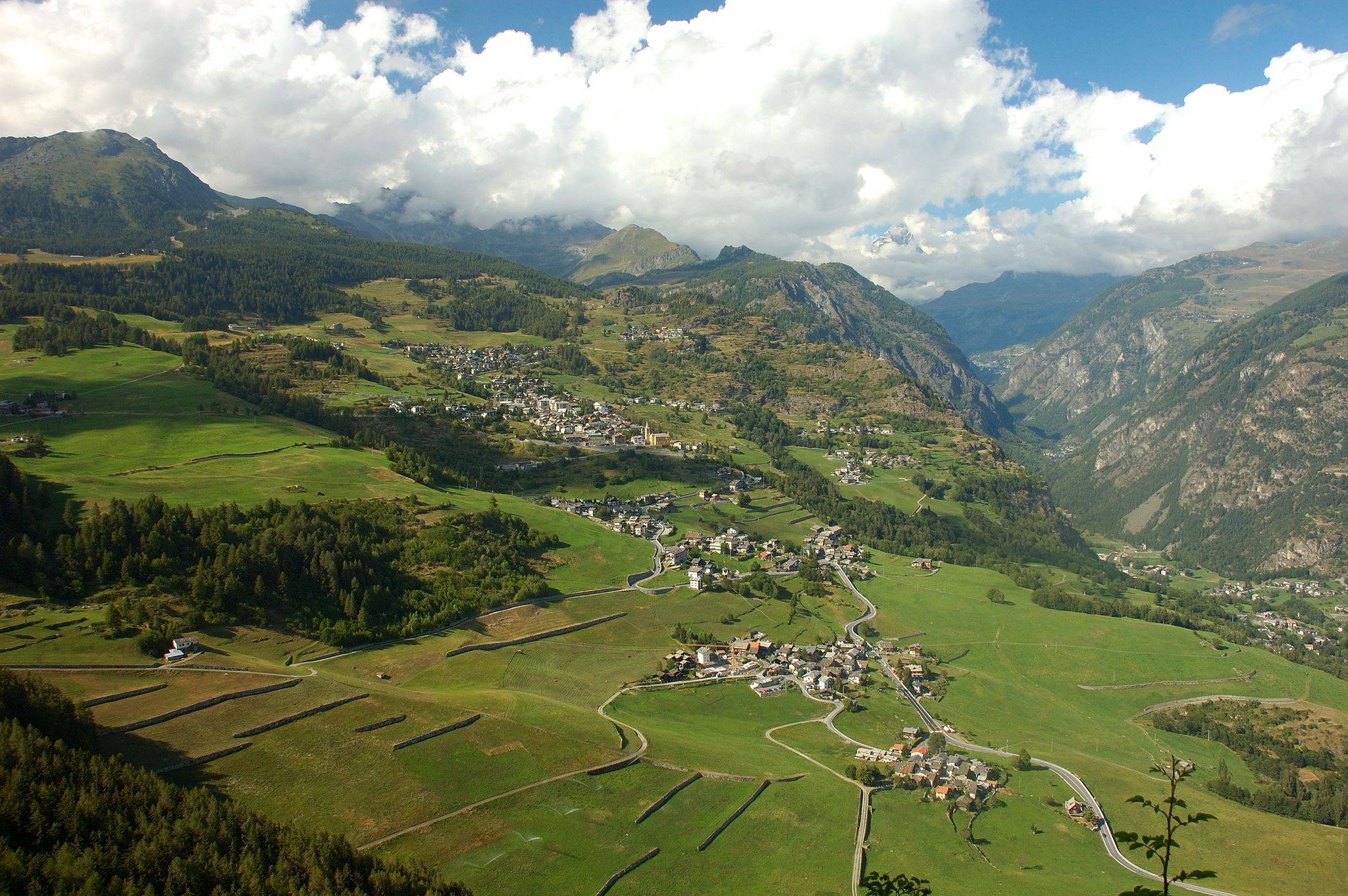
Paths, castles and views of Italy’s Aosta Valley – Cammino Balteo
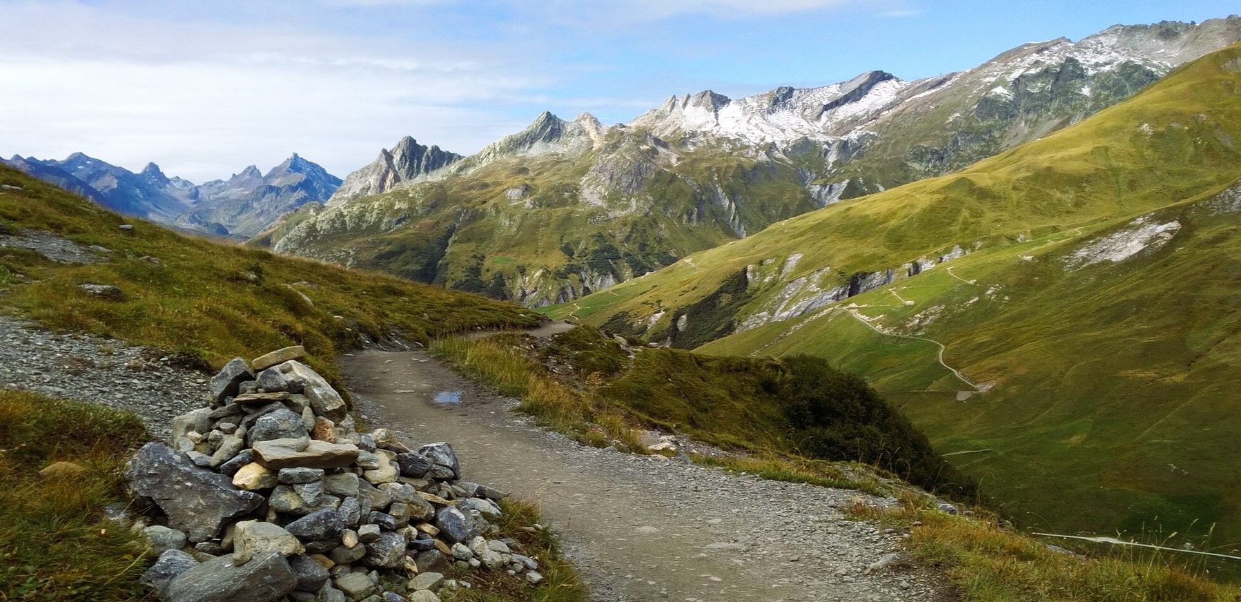
At the foot of Mont Blanc – a trek around Courmayeur
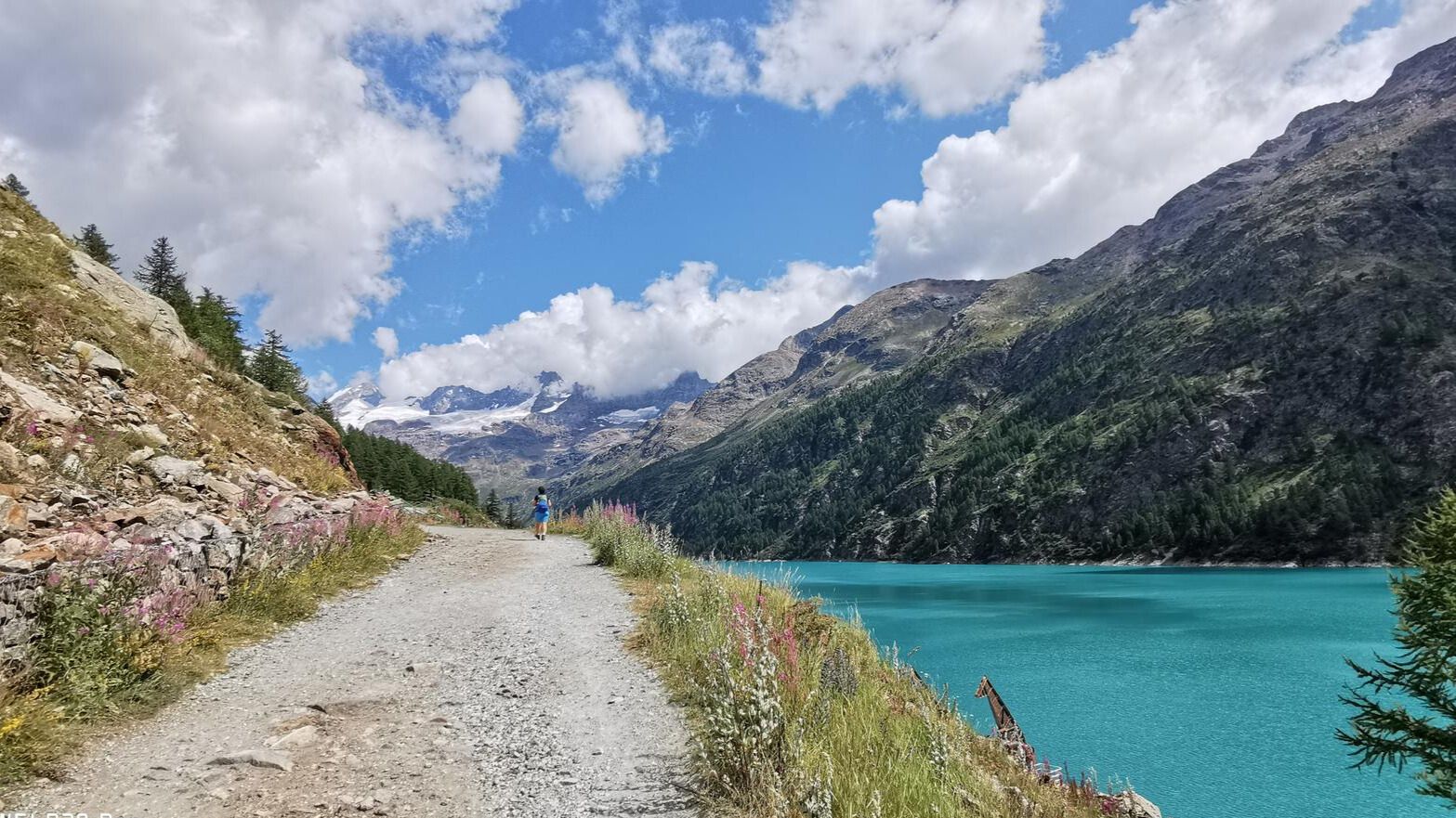
In the footsteps of the first mountaineers – Valpelline Trek
Other adventures around the Dora Baltea


Tips from the Community

It looks like a medieval bridge! It stops you in your tracks. Perfect moment to take a photo and enjoy the sun. Also the river looks and sounds great.
0
0


The Ru d'Arlaz is one of the ancient irrigation canals of the Aosta Valley, still used today to bring water to the valley's agricultural land. Flanked by a pleasant forest path, it offers an example of the ingenious hydraulic system developed between the 14th and 15th centuries.
0
0
The Cascata d'Arlaz is fed by the waters of the Ru d'Arlaz, a historic irrigation channel still used today for agriculture. When the channel is in operation, the waterfall creates a pleasant mist that makes this stretch of forest particularly cool, even on summer days.
0
0

This small church in the center of Chabodey is easily recognizable by the frescoed facade of the chapel. Entering, you can enjoy some coolness before diving into the trails immersed in wild nature.
0
0

The Forte di Bard seen from the bridge over the Dora Baltea river offers one of the most iconic and photographed views in the Aosta Valley. This spectacular perspective captures the imposing, craggy fortress that dominates the village below and the river waters.
0
0

The Arlaz Waterfall can be reached either from the Col d'Arlaz or from the Orbeillaz car park, following path number 31 which runs alongside the Rû d’Arlaz, a 14th-century artificial canal that channels the water of the Evançon stream and carries it to the municipalities of Challand, Emarese and Montjovet.
1
0

The Pissun waterfall is a few meters high cascade of the Assa stream, and can be visited by starting from Brosso and descending the Strada delle Vote (a historic road that connected the plain to the Valchiusella). This waterfall can be reached in a quarter of an hour from Brosso, where an ancient crematorium and a mortuary chapel are located nearby.
0
0
Frequently Asked Questions
How many waterfall hiking trails are available around the Dora Baltea?
The Dora Baltea region offers nearly 40 dedicated waterfall hiking trails. These routes showcase the dramatic Alpine origins of the area, with the Dora Baltea river and its tributaries carving through diverse landscapes from high-alpine environments to forests and hills.
Are there accessible waterfall hikes suitable for a shorter outing?
Yes, for a more accessible option, consider the Lenteney Waterfall – Path Along the Canal loop from La Salle. This moderate 3.8 km (2.4 miles) trail takes about 1 hour 24 minutes to complete, leading you along canal-side paths and through forests to the waterfall.
What is the best time of year to hike to waterfalls in the Dora Baltea region?
The best time to visit for waterfall hikes is generally during spring and early summer when snowmelt feeds the rivers, making the waterfalls particularly powerful and impressive. Autumn also offers beautiful scenery with changing foliage, though water levels might be lower. Winter hikes are possible but require appropriate gear and caution due to snow and ice.
Are there any circular waterfall routes in the Dora Baltea area?
Many waterfall trails in the Dora Baltea region are designed as loops, allowing you to start and end at the same point. An example is the Ru d'Arlaz Aqueduct – Arlaz Waterfall loop from Isollaz, a moderate 17.8 km (11.0 miles) route that takes approximately 4 hours 50 minutes to complete.
What can I see along the waterfall hiking trails besides the waterfalls?
Beyond the impressive waterfalls, the region offers a rich tapestry of natural and historical sights. You might encounter glacial lakes like Lake Pistono or Lake Sirio, or enjoy panoramic views from viewpoints such as View of Courmayeur and Mount Chetif. The landscape also features dense forests, picturesque hills, and occasionally medieval castles.
Are the waterfall trails in Dora Baltea suitable for families with children?
Yes, there are options suitable for families. While some routes are more challenging, many trails offer gentler terrain and shorter distances. Look for routes with minimal elevation gain and shorter durations, such as the Lenteney Waterfall – Path Along the Canal loop from La Salle, which is a moderate 3.8 km walk.
What do other hikers enjoy most about waterfall hiking in Dora Baltea?
The waterfall hikes in Dora Baltea are highly rated by the komoot community, with an average score of 4.4 stars from over 4800 reviews. Hikers often praise the diverse scenery, from dramatic Alpine landscapes to serene forests, and the refreshing experience of discovering hidden canyons and powerful waterfalls.
Are there any dog-friendly waterfall trails in the Dora Baltea region?
Many trails in the Dora Baltea region are dog-friendly, but it's always advisable to check specific route details for any restrictions or conditions. Generally, trails that are not overly steep or rocky, and offer access to water, are good choices for hiking with dogs. Always keep your dog on a leash and be mindful of wildlife and other hikers.
What kind of amenities can I expect near waterfall hiking trails?
The Dora Baltea region is dotted with historic villages and cities like Aosta and Courmayeur, where you can find cafes, restaurants, and accommodation. While specific amenities directly on remote trails might be limited, you'll often find facilities in nearby towns or at trailheads. It's always a good idea to carry sufficient water and snacks.
What is the difficulty range of waterfall hikes in Dora Baltea?
The waterfall hikes around Dora Baltea cater to a wide range of abilities. You can find easy, family-friendly walks with minimal elevation, moderate routes like the Cogne Mines Waterfall loop from Brosso (8.0 km, 513m elevation gain), and more challenging alpine treks for experienced hikers. The region's diverse topography ensures options for various fitness levels.
Are there any hidden gem waterfall hikes in the Dora Baltea area?
The Dora Baltea's tributaries and its own course reveal many hidden canyons and impressive waterfalls, offering secluded and breathtaking views away from the most popular spots. Exploring the less-trafficked paths, often found by delving deeper into the guide, can lead to these serene discoveries. The region's extensive network means there's always something new to uncover.
Is public transport available to reach waterfall trailheads?
While some trailheads might be accessible by local bus services, especially those closer to larger towns like Aosta or Ivrea, many of the more remote waterfall trails may require private transport. It's recommended to research specific public transport options for your chosen trailhead in advance, as services can vary and be less frequent in mountainous areas.
Most popular routes around the Dora Baltea
Most popular attractions around the Dora Baltea

Get inspired with the komoot mobile app


Explore more
Browse the best Hikes in other regions.
