The best hikes from bus stations in the Chungyang Mountains
4.6
(450)
4,279
hikers
16
hikes
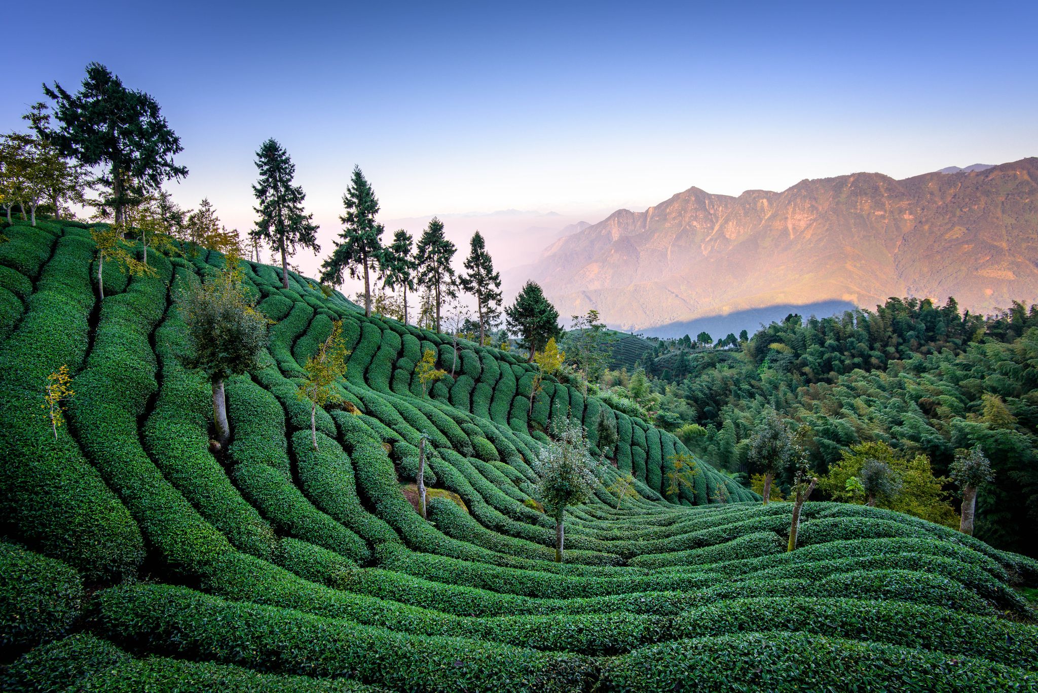
Bus station hiking trails in the Chungyang Mountains traverse a diverse landscape characterized by forested hills, tranquil lake shores, and numerous waterfalls. This prominent mountain range in Taiwan features a varied ecology, with broad-leaved forests at lower altitudes transitioning to coniferous forests at higher elevations. The region is home to several significant rivers, contributing to its lush environment and offering a wide array of hiking experiences.
Best bus station hiking trails in the Chungyang Mountains
- The most popular bus station…
Last updated: May 16, 2026
5.0
(3)
45
hikers
17.9km
09:18
1,570m
1,570m
Hard hike. Very good fitness required. Sure-footedness, sturdy shoes and alpine experience required.
5.0
(8)
84
hikers
25.1km
11:22
1,630m
1,630m
Hard hike. Very good fitness required. Sure-footedness, sturdy shoes and alpine experience required.

Sign up for free
4.2
(17)
104
hikers
6.26km
01:56
230m
230m
Easy hike. Great for any fitness level. Easily-accessible paths. Suitable for all skill levels.
4.8
(4)
49
hikers
12.4km
07:39
1,370m
1,370m
Hard hike. Very good fitness required. Sure-footedness, sturdy shoes and alpine experience required.
4.4
(7)
72
hikers
14.5km
05:23
940m
940m
Hard hike. Very good fitness required. Easily-accessible paths. Suitable for all skill levels.
Get access to more routes and recommendations from other explorers.
Sign up for free
Already have an account?
Our route recommendations are based on thousands of hikes, rides, and runs completed by other people on komoot.
Start today with a free account
Your next adventure awaits.
Login or Signup
Popular around Chungyang Mountains
Other adventures in the Chungyang Mountains

Tips from the Community

A great starting point for many beautiful tours! Highly recommended!
2
0

The trail up toward Malun Shan leads mostly through the forest—ideal for a hike on hot days. Along the way, you'll encounter several council sites. You'll repeatedly pass dilapidated ruins that bear witness to a former civilization.
1
0
You hike through the forest on a beautiful path, with views of the surrounding mountains opening up again and again.
1
0
Although there's no view from the summit of Mount Malun, the 2,305-meter-high peak is still worth the effort. It's the second-highest peak in the Guguan Seven Heroes, a mountain range in central Taiwan. The climb to the summit is comparatively gentle. Don't forget to sign the summit book.
1
0

As of March 23: Unfortunately, the trail is closed due to a severe landslide. There is no way through here at all, see photo.
1
1


Highest peak in Taiwan. Makes for a great trail running day from the trailhead.
1
0

There are few viewpoints along the route. You can't see anything at the summit itself. It's still worth it.
0
0
Frequently Asked Questions
How many bus-accessible hiking trails are there in the Chungyang Mountains?
There are 17 hiking trails in the Chungyang Mountains that are accessible by bus. These routes offer a variety of experiences, from easy strolls to challenging mountain ascents.
Are there any easy hiking trails accessible by bus in the Chungyang Mountains?
Yes, the Chungyang Mountains offer several easy hiking trails accessible by bus. For instance, the Hiking loop from The Lalu is an easy 6.2 km route that takes approximately 2 hours, offering scenic lake views.
What kind of landscapes can I expect to see on bus-accessible hikes in the Chungyang Mountains?
The Chungyang Mountains feature diverse landscapes, including forested hills, tranquil lake shores, and occasional waterfalls. You'll encounter broad-leaved forests at lower altitudes, transitioning to mixed and coniferous forests at higher elevations, providing a rich and dynamic environment for exploration.
Are there any circular hiking routes from bus stations in the Chungyang Mountains?
Yes, many of the bus-accessible trails in the Chungyang Mountains are circular. An example is the Tataka Trailhead – Daciaobi (The Great Precipice) loop from 鹿林天文台, a challenging 25 km route, or the easier Hiking loop from The Lalu.
What are some notable attractions or viewpoints along bus-accessible trails?
Many trails offer access to stunning natural and cultural highlights. Near Sun Moon Lake, you can visit the Ci En Pagoda or enjoy the Lakeside Path at Sun Moon Lake. Other areas feature impressive gorges like the Taroko Gorge Highway or natural monuments such as Qingshui Cliff.
What is the best time of year to go hiking from bus stations in the Chungyang Mountains?
The Chungyang Mountains receive abundant rainfall, contributing to lush landscapes. While hiking is possible year-round, spring and autumn generally offer more temperate weather conditions. Higher elevations can experience colder temperatures and potentially snow in winter, so check local conditions before planning a winter hike.
Are there any long-distance or challenging hikes accessible by bus?
Absolutely. For experienced hikers, routes like On the Malun Shan cover nearly 18 km with significant elevation gain, taking over 9 hours. Another challenging option is the Bamboo Forest – View of Sun Moon Lake loop from Sun Moon Lake, a 12.3 km difficult route.
What do other hikers say about the bus-accessible trails in the Chungyang Mountains?
The komoot community highly rates the trails in the Chungyang Mountains, with an average score of 4.6 stars from over 400 ratings. Hikers frequently praise the diverse scenery, from serene lakes to challenging mountain paths, and the accessibility of these routes via public transport.
Are there any specific permits required for hiking certain trails in the Chungyang Mountains?
Some high-altitude or protected areas within the Chungyang Mountains, particularly those involving multi-day treks or specific peaks like Mount Yu, may require permits. It is advisable to check with local park authorities or specific trail information for any permit requirements before embarking on your hike.
Can I find amenities like cafes or restrooms near bus-accessible hiking routes?
While specific amenities vary by bus stop and trail, popular areas like Sun Moon Lake, which is accessible by bus, offer facilities including cafes, restaurants, and restrooms. For more remote bus stops, it's recommended to carry sufficient water and snacks.
Are there any trails that feature waterfalls in the Chungyang Mountains?
Yes, the Chungyang Mountains are known for their abundant water resources and picturesque waterfalls. The region research mentions the Shuangliu National Park Waterfall Trail as a notable example, offering scenic views of waterfalls within the diverse terrain.
Most popular routes in the Chungyang Mountains
Most popular attractions in the Chungyang Mountains

Get inspired with the komoot mobile app


Explore more
Browse the best Hikes in other regions.
