The best cycling routes in the Chungyang Mountains
4.6
(121)
1,977
riders
34
rides
Touring cycling in the Chungyang Mountains offers routes through Taiwan's principal mountain range, characterized by towering peaks, deep valleys, and dramatic gorges. The region features significant elevation gains and descents, with many peaks rising above 3,000 meters. Diverse ecosystems include broad-leaved evergreen forests at lower elevations transitioning to coniferous forests at higher altitudes. Alpine lakes, such as Sun Moon Lake, and several major rivers contribute to the varied landscape.
Best touring cycling routes in the Chungyang Mountains
- The most popular…
Last updated: May 11, 2026
4.5
(4)
112
riders
31.0km
02:39
1,070m
1,070m
Hard bike ride. Very good fitness required. Mostly paved surfaces. Suitable for all skill levels.
4.6
(17)
175
riders
57.7km
04:17
1,280m
1,280m
Hard bike ride. Very good fitness required. Mostly paved surfaces. Suitable for all skill levels.

Sign up for free
4.0
(1)
154
riders
11.6km
00:48
130m
130m
Easy bike ride. Great for any fitness level. Mostly paved surfaces. Suitable for all skill levels.
5.0
(5)
101
riders
75.8km
05:21
1,370m
1,370m
Hard bike ride. Very good fitness required. Mostly paved surfaces. Suitable for all skill levels.
4.9
(7)
54
riders
26.0km
01:36
170m
170m
Moderate bike ride. Good fitness required. Mostly paved surfaces. Suitable for all skill levels.
5.0
(3)
50
riders
14.4km
00:52
60m
60m
Easy bike ride. Great for any fitness level. Mostly paved surfaces. Suitable for all skill levels.
5.0
(1)
47
riders
40.0km
03:38
1,600m
1,600m
Hard bike ride. Very good fitness required. Mostly paved surfaces. Suitable for all skill levels.
42
riders
77.3km
05:31
1,510m
1,510m
Hard bike ride. Very good fitness required. Mostly paved surfaces. Suitable for all skill levels.
36
riders
60.1km
04:17
1,200m
1,200m
Hard bike ride. Very good fitness required. Mostly paved surfaces. Suitable for all skill levels.
31
riders
86.8km
06:02
1,510m
1,510m
Hard bike ride. Very good fitness required. Mostly paved surfaces. Suitable for all skill levels.
Get access to more routes and recommendations from other explorers.
Sign up for free
Already have an account?
Our route recommendations are based on thousands of hikes, rides, and runs completed by other people on komoot.
Start today with a free account
Your next adventure awaits.
Login or Signup
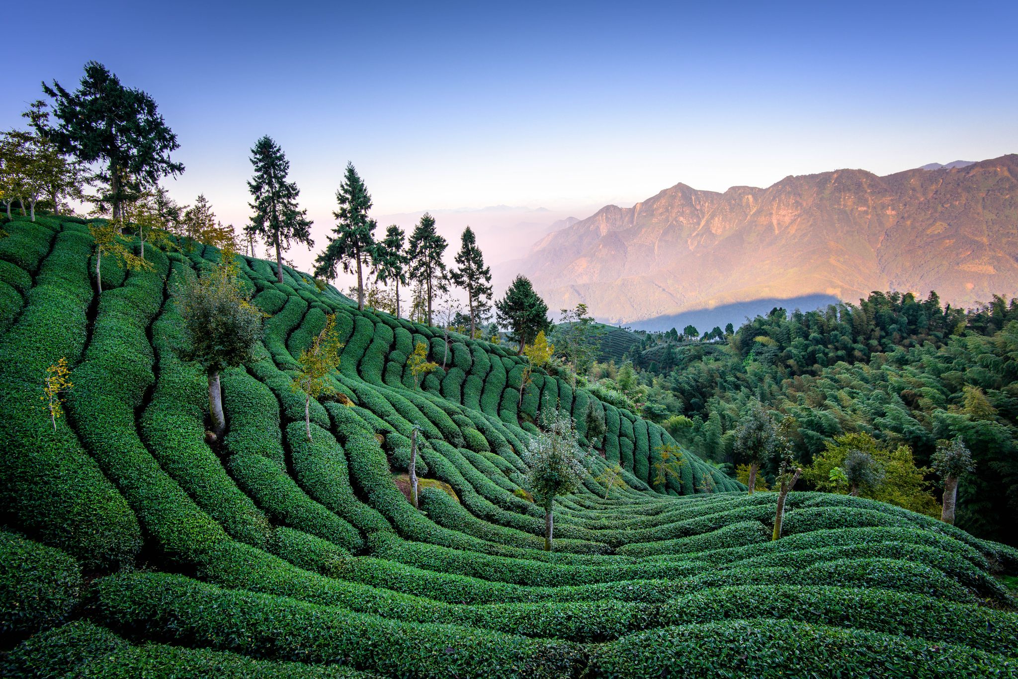
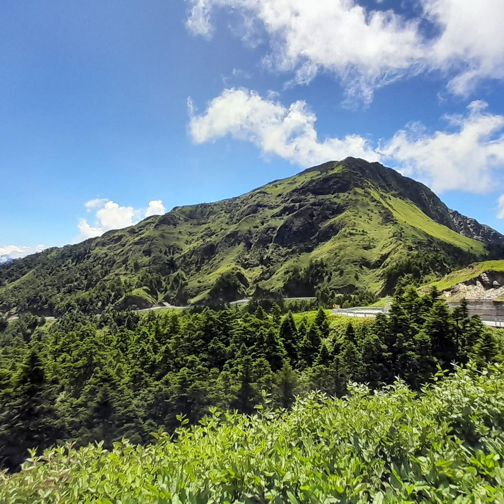
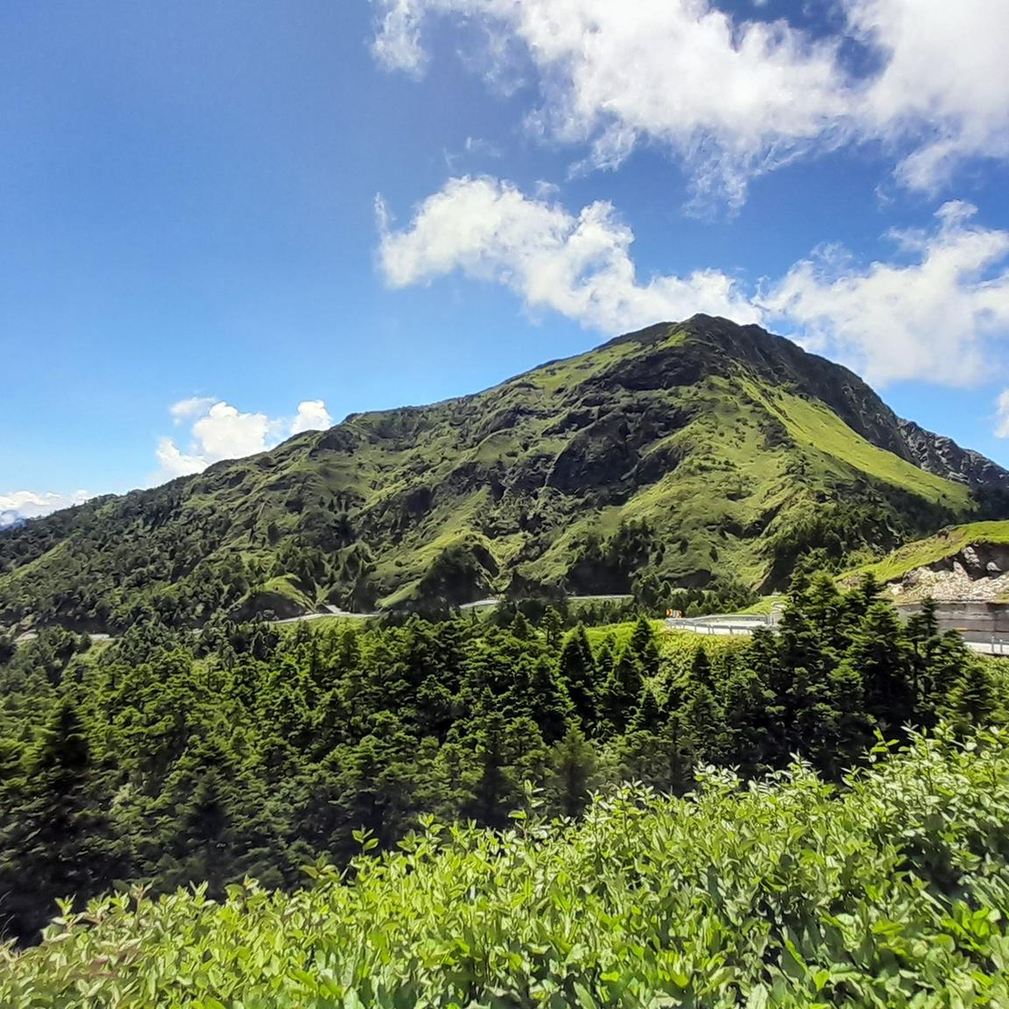
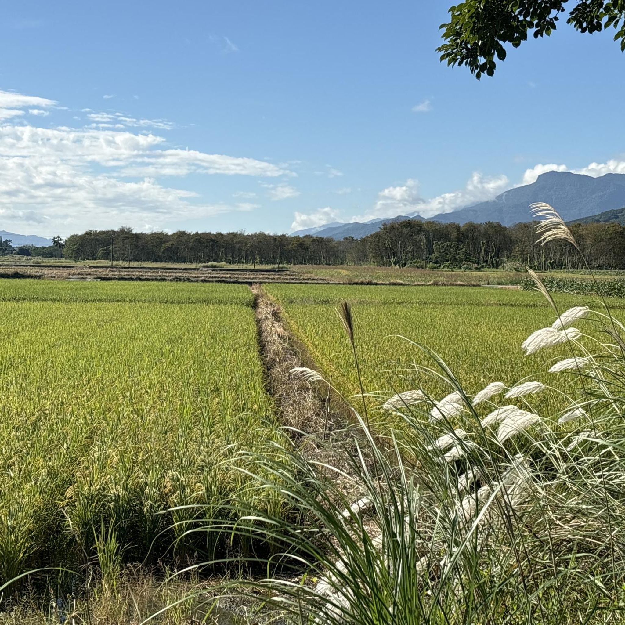
Other adventures in the Chungyang Mountains

Tips from the Community

The pictures of the temple's construction are interesting.
1
0

A temple worth seeing; the prices in the temple shop are quite reasonable.
2
0
The small temple offers a great view of the lake.
2
0

A very beautiful national park. Excellent hiking trails, although they can be closed due to earthquakes. Please check in advance!
0
0

parking possible, great view of Lake and access to temple. food shops and restroom
0
0
Frequently Asked Questions
How many touring cycling routes are available in the Chungyang Mountains?
The Chungyang Mountains offer over 30 touring cycling routes, catering to various skill levels. You'll find a good mix of easy, moderate, and difficult trails to explore the region's diverse landscapes.
Are there any easy touring cycling routes suitable for beginners or families?
Yes, the Chungyang Mountains have several easy routes perfect for beginners or families. For instance, the Longfeng Temple – Sun Moon Lake loop from The Lalu is a gentle 12.0 km (7.5 miles) ride around the scenic Sun Moon Lake, taking less than an hour. Another accessible option is the Dapo Pond – Brown Avenue loop from 池上, a 14.3 km (8.9 miles) route with minimal elevation gain.
What kind of landscapes can I expect to see while cycling in the Chungyang Mountains?
The Chungyang Mountains offer a dramatic and varied landscape. You'll encounter towering peaks, deep valleys, and stunning gorges like the famous Taroko Gorge. Routes often traverse diverse ecosystems, from broad-leaved evergreen forests at lower elevations to coniferous forests higher up. Beautiful alpine lakes, such as Sun Moon Lake, and several significant rivers also contribute to the scenic beauty.
Are there any circular touring cycling routes in the Chungyang Mountains?
Many of the touring cycling routes in the Chungyang Mountains are designed as loops, allowing you to start and end at the same point. Examples include the challenging Reservoir in Taroko National Park – Taroko Gorge loop from 東部發電廠立霧機組, which explores the marble-walled canyons, or the scenic Longfeng Temple – Lakeside Path at Sun Moon Lake loop from 車埕 around Sun Moon Lake.
What are some notable attractions or viewpoints along the touring cycling routes?
The region is rich in natural and cultural attractions. Along your rides, you might encounter the breathtaking Taroko Gorge Highway, offering stunning views of marble-walled canyons. The Sun Moon Lake area features points of interest like the Ci En Pagoda and the Viewpoint of Lalu Island. For high-mountain vistas, the Summit of Wuling Pass is a renowned spot.
What do other touring cyclists say about the routes in the Chungyang Mountains?
The touring cycling routes in the Chungyang Mountains are highly regarded by the komoot community, with an average rating of 4.5 stars from over 50 reviews. Cyclists frequently praise the amazing paved mountain roads, the dramatic scenery of gorges and alpine lakes, and the challenging yet rewarding climbs.
Are there any moderate touring cycling routes for those looking for a bit more challenge?
Yes, there are several moderate routes that offer a good balance of distance and elevation. For example, the Meilun Coast Park Bike Path – Shuguang Bridge loop from 花蓮 is a 26.0 km (16.2 miles) route with some elevation gain, typically completed in about 1 hour 35 minutes, providing a good workout without being overly strenuous.
What is the best time of year to go touring cycling in the Chungyang Mountains?
The Chungyang Mountains can be cycled year-round, but the best time often depends on the specific elevation and your tolerance for heat or cold. Spring and autumn generally offer pleasant temperatures and stable weather. Summer can be hot in lower elevations but cooler in the mountains, while winter can bring cold temperatures and potential snow at higher altitudes, especially on peaks above 3,000 meters.
Are there routes that explore the famous Taroko Gorge?
Absolutely. The Taroko Gorge is a highlight of the Chungyang Mountains, and several touring cycling routes immerse you in its marble-walled canyons. A popular option is the challenging Changchun Bridge – Taroko Gorge loop from 花蓮, a 77.1 km (47.9 miles) ride that takes you deep into this natural wonder.
Can I find routes that feature Sun Moon Lake?
Sun Moon Lake is a prominent feature in the Chungyang Mountains, known for its scenic cycling paths. Many routes incorporate the lake, such as the Lakeside Path at Sun Moon Lake – Wenwu Temple loop from Changliaotou, a difficult 74.1 km (46.0 miles) route that offers extensive views of the alpine waters and cultural sites like Wenwu Temple.
Are there any very challenging routes for experienced touring cyclists?
Yes, the Chungyang Mountains are renowned for their challenging road cycling routes with significant elevation gains. For experienced cyclists, the 武嶺瞭望臺 loop from 富嘉果園 is a demanding 39.9 km (24.8 miles) route with over 1,600 meters (5,250 feet) of ascent, leading towards the iconic Wuling Pass, one of Taiwan's highest road passes.
What is the typical duration for touring cycling routes in this region?
Route durations vary significantly based on distance and difficulty. Easy routes, like the 12.0 km Longfeng Temple – Sun Moon Lake loop from The Lalu, can be completed in under an hour. More challenging and longer routes, such as the 86.8 km Longfeng Temple – Lakeside Path at Sun Moon Lake loop from Lalu Island, can take over 6 hours to complete, requiring good fitness and preparation.
Most popular routes in the Chungyang Mountains
Most popular attractions in the Chungyang Mountains

Get inspired with the komoot mobile app


Explore more
Browse the best Cycling routes in other regions.
