The best walks and hikes in the Chungyang Mountains
4.6
(455)
4,311
hikers
65
hikes
Hiking in the Chungyang Mountains offers diverse and challenging landscapes across Taiwan's prominent Central Mountain Range. The region is characterized by rugged, rocky terrain composed of schists, quartzites, and gneisses, with numerous peaks exceeding 3,000 meters, including Mount Yu at 3,997 meters. Lush evergreen, mixed, and coniferous forests cover the slopes, while abundant rainfall feeds rivers and creates V-shaped valleys and waterfalls.
Best hiking trails in the Chungyang Mountains
- The most popular hiking route is Lulinshan and Linzhishan loop,…
Last updated: May 26, 2026
4.6
(12)
67
hikers
9.68km
03:18
480m
480m
Moderate hike. Good fitness required. Mostly accessible paths. Sure-footedness required.
5.0
(3)
45
hikers
17.9km
09:18
1,570m
1,570m
Hard hike. Very good fitness required. Sure-footedness, sturdy shoes and alpine experience required.

Sign up for free
5.0
(3)
46
hikers
6.19km
01:45
130m
130m
Easy hike. Great for any fitness level. Easily-accessible paths. Suitable for all skill levels.
4.8
(24)
220
hikers
5.70km
02:58
500m
500m
Moderate hike. Good fitness required. Mostly accessible paths. Sure-footedness required.
5.0
(8)
84
hikers
25.1km
11:22
1,630m
1,630m
Hard hike. Very good fitness required. Sure-footedness, sturdy shoes and alpine experience required.
4.2
(17)
104
hikers
6.26km
01:56
230m
230m
Easy hike. Great for any fitness level. Easily-accessible paths. Suitable for all skill levels.
85
hikers
4.25km
02:41
500m
490m
Hard hike. Good fitness required. Sure-footedness, sturdy shoes and alpine experience required.
5.0
(7)
67
hikers
14.8km
06:22
1,080m
1,080m
Hard hike. Very good fitness required. Mostly accessible paths. Sure-footedness required.
4.8
(12)
79
hikers
Moderate hike. Good fitness required. Mostly accessible paths. Sure-footedness required.
4.8
(4)
49
hikers
12.4km
07:39
1,370m
1,370m
Hard hike. Very good fitness required. Sure-footedness, sturdy shoes and alpine experience required.
Get access to more routes and recommendations from other explorers.
Sign up for free
Already have an account?
Our route recommendations are based on thousands of hikes, rides, and runs completed by other people on komoot.
Start today with a free account
Your next adventure awaits.
Login or Signup
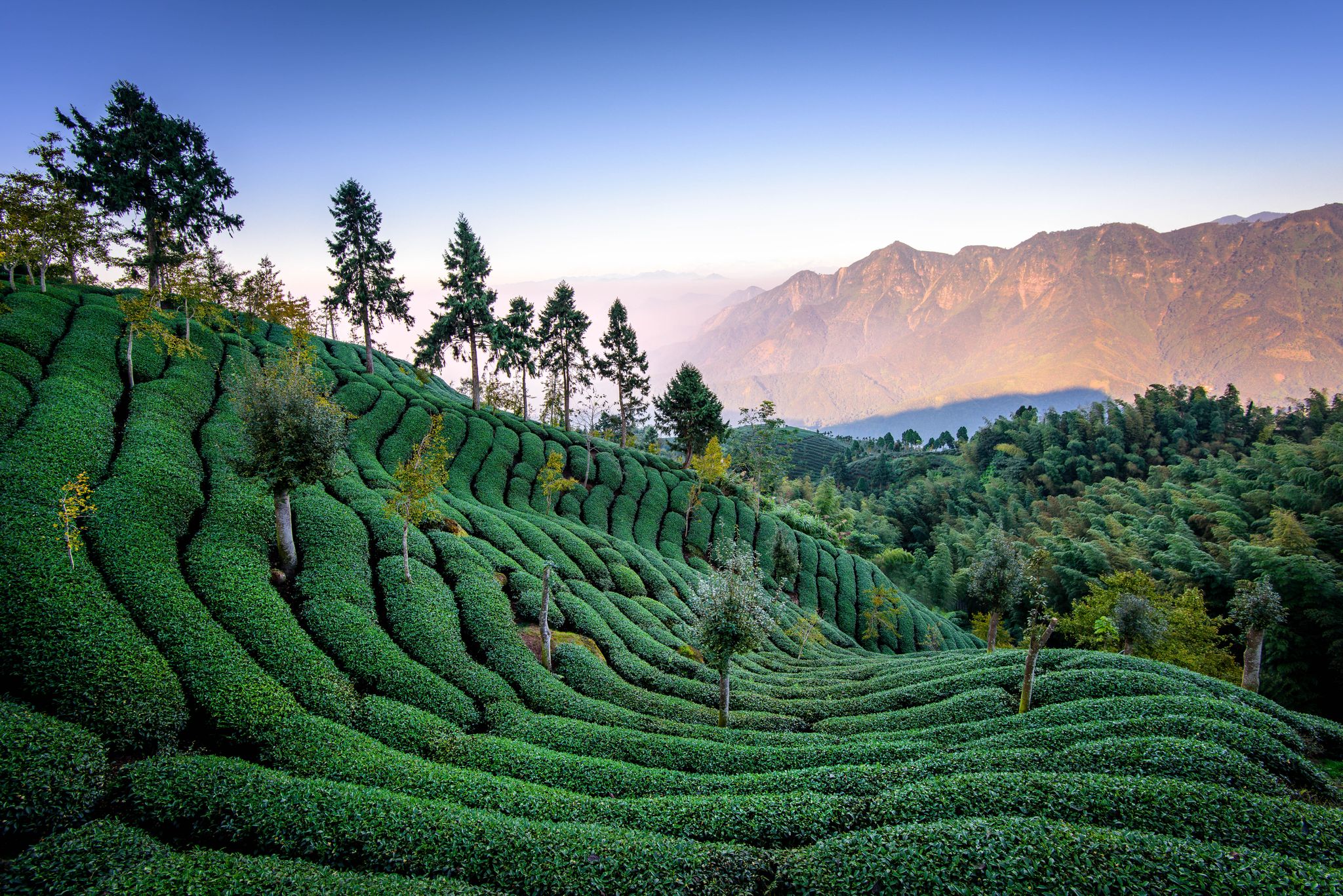
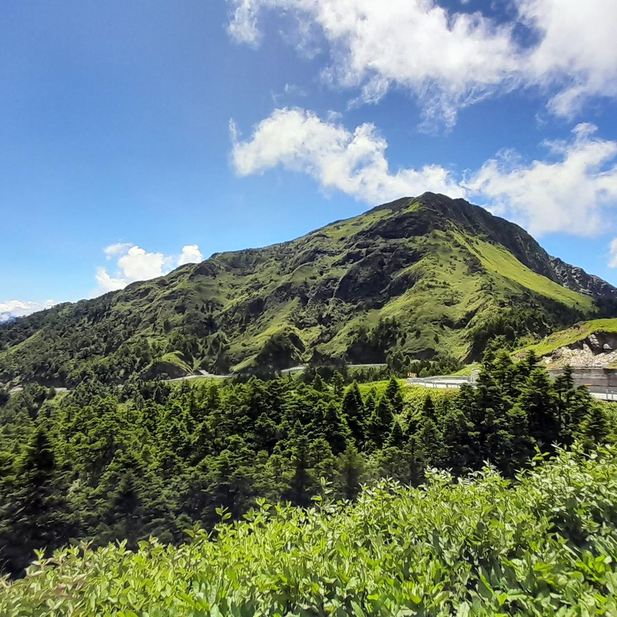
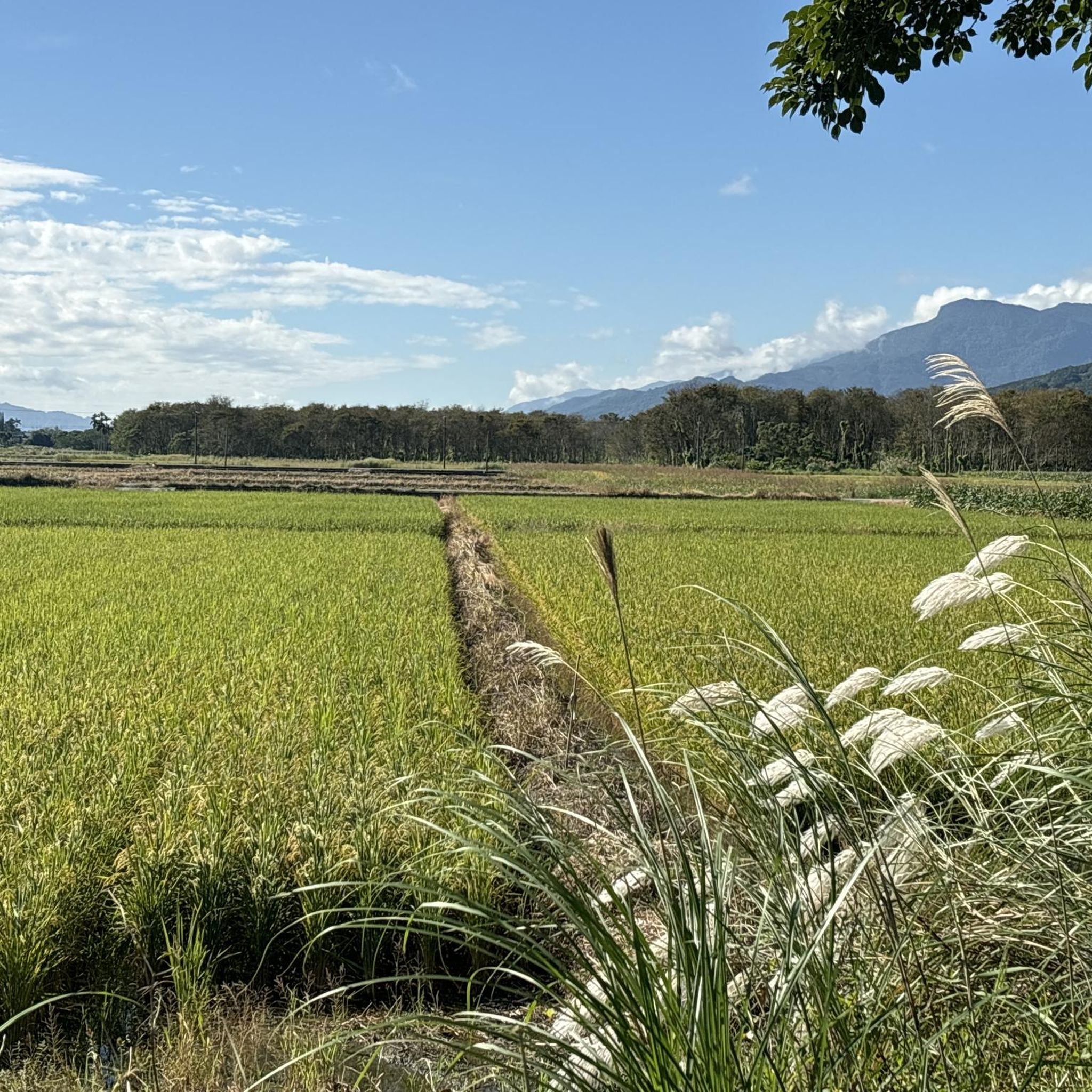
Other adventures in the Chungyang Mountains

Tips from the Community

A great starting point for many beautiful tours! Highly recommended!
2
0

A magnificent trail leads you up the mountain over hill and dale. The landscape is particularly mystical on foggy days.
1
0
Linzhishan, or Linzhi Mountain, is part of the Alishan Mountains. The range boasts more than 20 peaks over 2,000 meters in height, but none above 3,000 meters. Thus, Linzhishan ranks quite high in this ranking.
1
0
The trail up toward Malun Shan leads mostly through the forest—ideal for a hike on hot days. Along the way, you'll encounter several council sites. You'll repeatedly pass dilapidated ruins that bear witness to a former civilization.
1
0
You hike through the forest on a beautiful path, with views of the surrounding mountains opening up again and again.
1
0
Although there's no view from the summit of Mount Malun, the 2,305-meter-high peak is still worth the effort. It's the second-highest peak in the Guguan Seven Heroes, a mountain range in central Taiwan. The climb to the summit is comparatively gentle. Don't forget to sign the summit book.
1
0
You can hear the roar of Shuangliu Waterfall from afar. The water cascades 20 meters into the deep blue plunge pool. From a viewing platform, you can enjoy this natural spectacle to the fullest.
1
0
A beautiful hiking trail leads you through the forest to the waterfall – sometimes over steps, sometimes on natural ground. This allows you to fully enjoy nature.
1
0
Frequently Asked Questions
How many hiking trails are available in the Chungyang Mountains?
There are over 60 hiking routes documented in the Chungyang Mountains on komoot, catering to various skill levels. This includes 22 easy, 21 moderate, and 23 difficult trails, ensuring options for every hiker.
What kind of terrain can I expect when hiking in the Chungyang Mountains?
The Chungyang Mountains are characterized by a rugged and rocky landscape, with diverse geological formations including schists, quartzites, and gneisses. You'll encounter towering peaks, lush forests that change with elevation, and dramatic V-shaped valleys carved by rivers. The eastern side features sharp cliffs, while the western slopes descend more gradually.
Are there any family-friendly hiking options in the Chungyang Mountains?
Yes, the region offers several easy trails suitable for families. For example, the Shuangliu National Park Waterfall Trail is an easy 3.8-mile (6.2 km) path leading through lush natural surroundings to a prominent waterfall, perfect for a family outing.
Are there any circular hiking routes in the Chungyang Mountains?
Yes, many trails in the Chungyang Mountains are designed as loops. A popular moderate option is the Lulinshan and Linzhishan loop, which covers 6.0 miles (9.7 km) and offers varied terrain and scenic views. Another is the Walami Trailhead – Jiaxin Observation Deck loop, a moderate 5.5-mile (8.8 km) route.
What natural attractions or landmarks can I see along the hiking trails?
The Chungyang Mountains are rich in natural beauty. You can explore spectacular waterfalls like those found on the Shuangliu National Park Waterfall Trail, or visit significant peaks such as Hehuan North Peak. The region also features V-shaped valleys and diverse forests. For cultural sights, consider visiting Ci En Pagoda, which offers panoramic views over Sun Moon Lake.
What is the best time of year to go hiking in the Chungyang Mountains?
The Chungyang Mountains offer hiking opportunities year-round, but the best time often depends on your preferred experience. Spring and autumn generally provide pleasant temperatures and clearer skies. In winter, some higher peaks may be covered in snow, offering a unique landscape, but requiring appropriate gear. Summer brings abundant rainfall, which feeds rivers and waterfalls, but can also mean higher humidity and potential for storms.
Are there any trails that lead to high mountain peaks?
Absolutely. The Chungyang Mountains are home to numerous peaks exceeding 3,000 meters. Routes like the Hehuan North Peak loop will take you to significant elevations, offering stunning vistas. Mount Yu (Jade Mountain), the highest peak in Taiwan, is also located within this range, though accessing its summit typically requires permits and multi-day treks.
What do other hikers enjoy most about hiking in the Chungyang Mountains?
The Chungyang Mountains are highly rated by the komoot community, with an average score of 4.7 stars from over 150 reviews. Hikers frequently praise the diverse and challenging landscapes, the stunning mountain views, and the rich natural features, including lush forests and dramatic waterfalls. The extensive network of trails also receives positive feedback for catering to various ability levels.
Are there any trails suitable for advanced hikers looking for a challenge?
Yes, the Chungyang Mountains offer many challenging routes for experienced hikers. Trails like On the Malun Shan, an 11.1-mile (17.9 km) trail with significant elevation gain, are considered difficult and can take over 9 hours to complete. Other demanding options include multi-day treks to high peaks, often requiring good fitness and alpine experience.
Are there any specific requirements or permits needed for certain trails?
For some of the higher-altitude or multi-day treks, particularly those within national parks or leading to major peaks like Mount Yu, permits are often required. It's crucial to check the specific regulations for your chosen route in advance, as some lodges and cabins along multi-day trails also require advance booking.
Are there options for public transport to reach trailheads in the Chungyang Mountains?
While some trailheads might be accessible by local buses, public transport options can be limited in the more remote parts of the Chungyang Mountains. Planning your journey in advance and checking local bus schedules is recommended. For many routes, especially those in less developed areas, private transport or taxis might be the most convenient option.
Where can I find parking for hiking trails in the Chungyang Mountains?
Many popular trailheads, such as the Tataka Trailhead, offer designated parking areas. However, parking availability can vary, especially during peak seasons or for less-frequented routes. It's advisable to research specific trailhead parking situations before your trip, as some areas may have limited spaces or require early arrival.
Most popular routes in the Chungyang Mountains
Most popular attractions in the Chungyang Mountains

Get inspired with the komoot mobile app


Explore more
Browse the best Hikes in other regions.
