The best hikes from bus stations in Andalusia
4.4
(51258)
307,024
hikers
4,128
hikes
Hiking in Andalusia offers a diverse range of landscapes, from the high peaks of the Sierra Nevada to the arid Tabernas Desert and the volcanic coastlines of Cabo de Gata. The region is characterized by significant mountain ranges, including the Sierra de Grazalema with its limestone formations and the Sierra de las Nieves with deep ravines. Varied terrain includes dense forests, river routes, and unique karst formations like El Torcal de Antequera, providing a wide array of bus station hiking…
Last updated: October 7, 2026
4.8
(893)
2,898
hikers
8.03km
02:24
250m
250m
The Los Cahorros de Monachil loop trail is a gem near Granada that transports you to a world of adventure. The path leads you through a stunning gorge, following the…
4.7
(223)
820
hikers
The circular route of Las Cebadillas and Poqueira Hydroelectric Plant from Capileira plunges you into the heart of the Poqueira Gorge, a landscape of historic terraces and Pyrenean oak forests.…

4.7
(72)
296
hikers
12.6km
04:58
840m
840m
The Hoya de la Mora - Lagunillos de la Virgen Trail plunges you into the heart of Sierra Nevada's high mountains, offering an unforgettable hiking experience. Along its 12.6 kilometers,…
4.6
(163)
590
hikers
10.5km
03:13
210m
210m
Moderate hike. Good fitness required. Mostly accessible paths. Sure-footedness required.
4.7
(101)
386
hikers
7.06km
02:26
340m
340m
Hike the difficult 4.4-mile Mirador de los Gitanos circular trail for panoramic views of Marbella and the Cascada del Puente Palo.
Get access to more routes and recommendations from other explorers.
Already have an account?
Our route recommendations are based on thousands of hikes, rides, and runs completed by other people on komoot.
Start today with a free account
Your next adventure awaits.
Popular around Andalusia
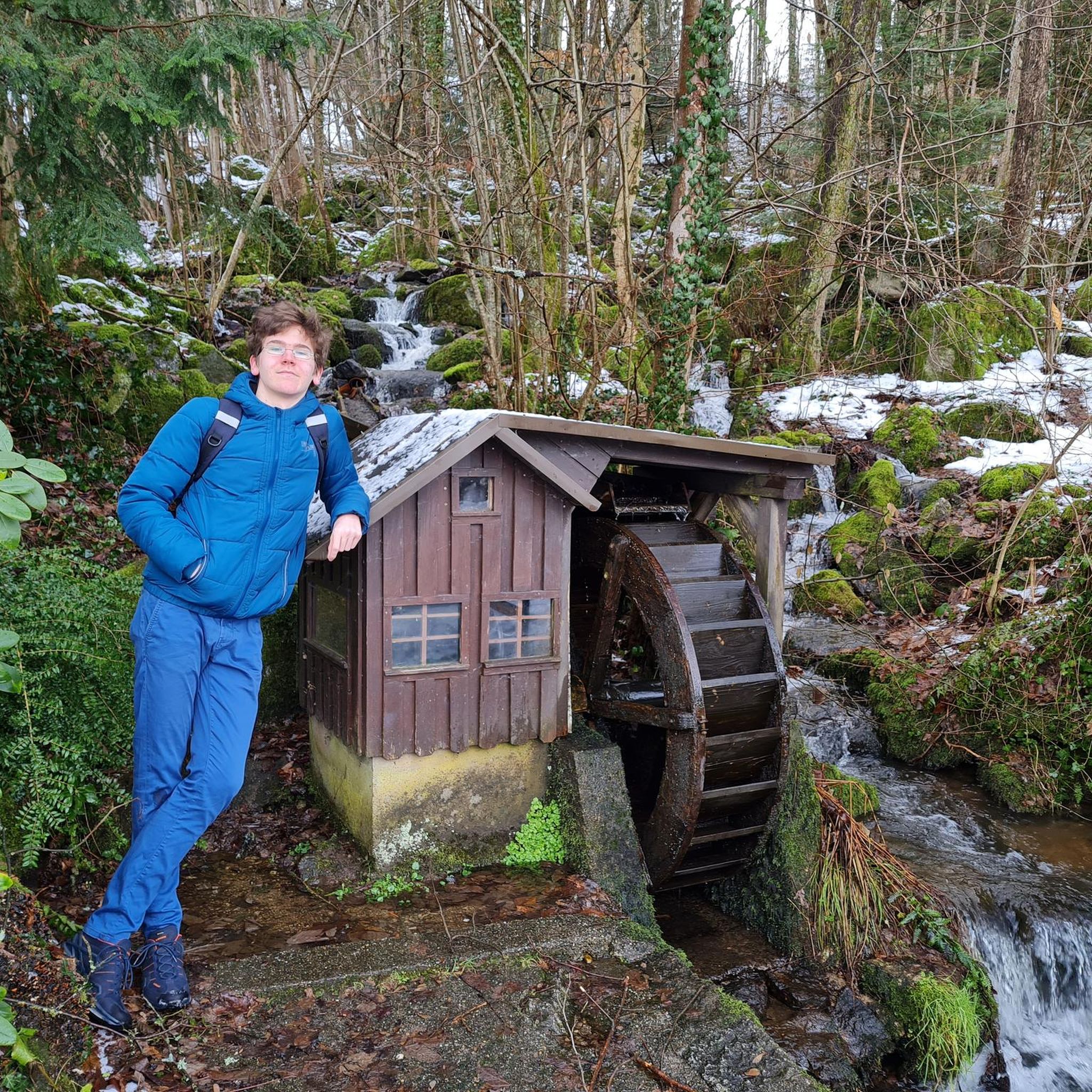
Hikes from bus stations in the Baetic System Mountains

Hikes from bus stations in Granada
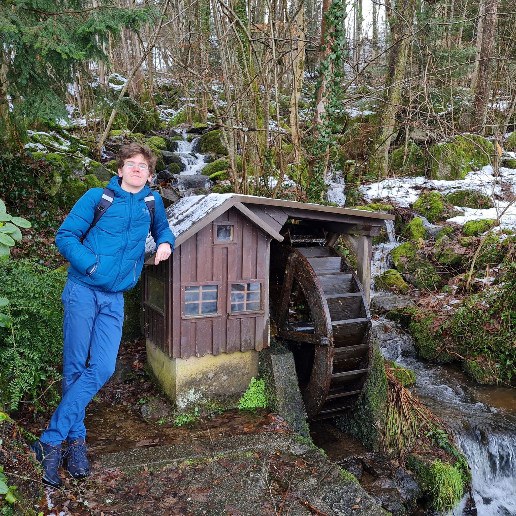
Hikes from bus stations in Malaga

Hikes from bus stations in Almería

Hikes from bus stations in Huelva
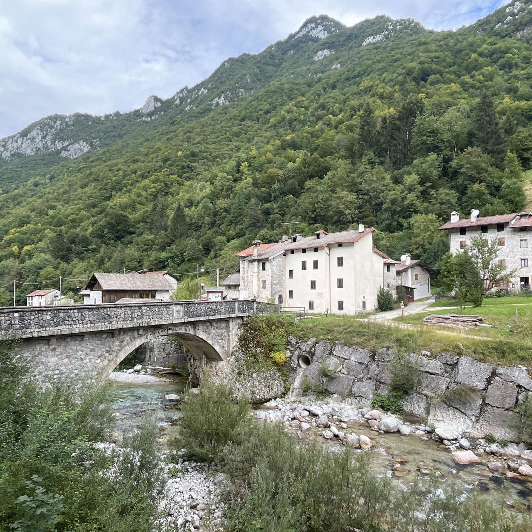
Hikes from bus stations in Cádiz

Hikes from bus stations in Córdoba

Hikes from bus stations in Sevilla
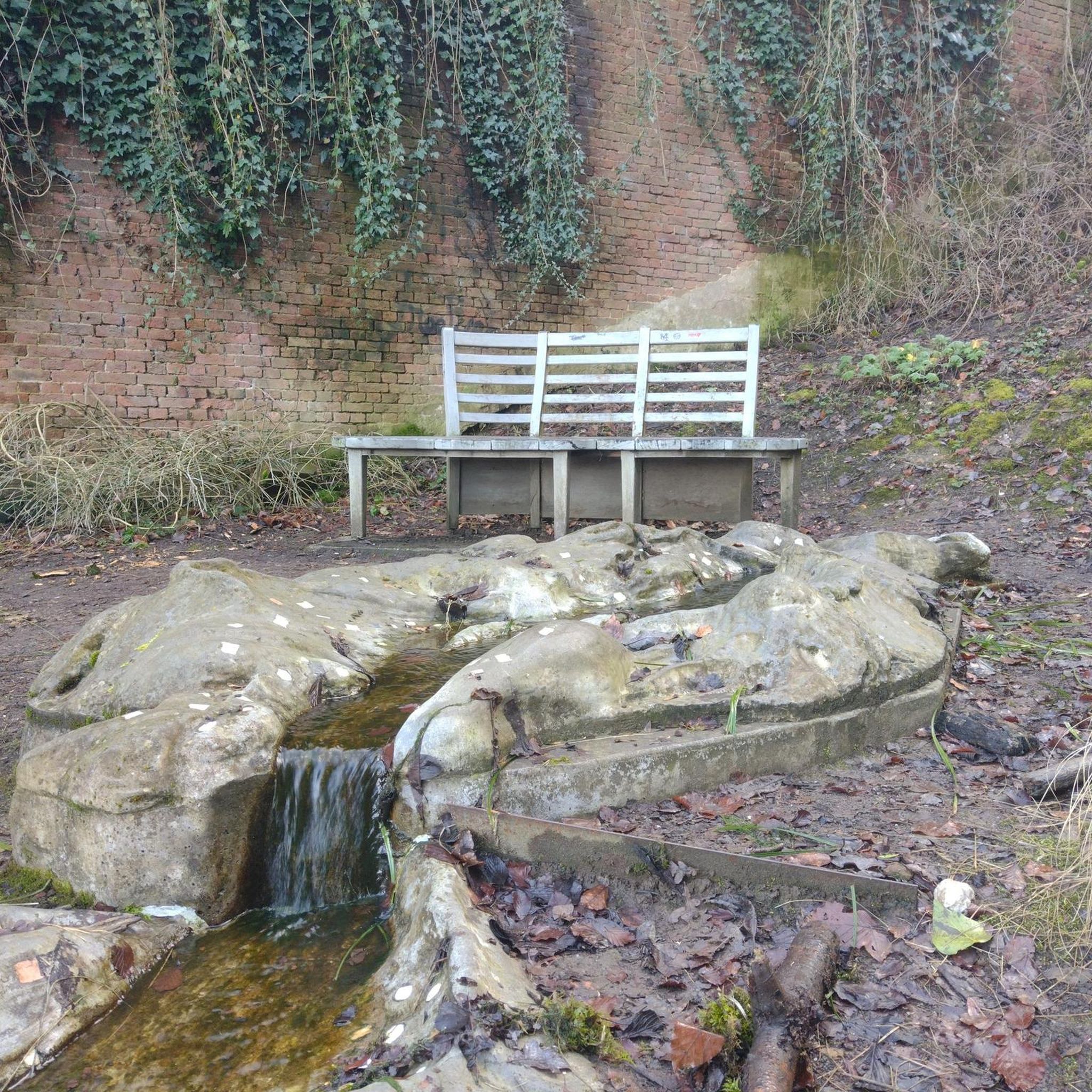
Hikes from bus stations in Jaén
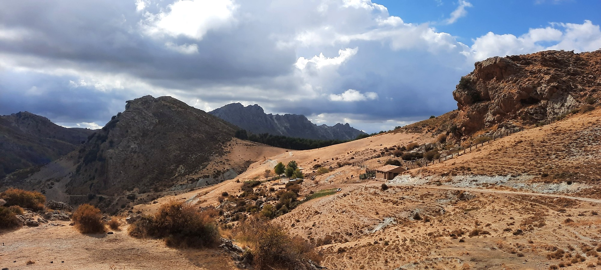
Sulayr Trail (GR 240) — 300 kilometers in the mountain of the sun


Tips from the Community

A cool but very tough route
0
0

Notable karst caves, which also provided us with shelter from the rain that set in.
1
0

A very beautiful, expansive hiking and biking area. Also suitable for multi-day hikes with overnight stays (tent, bikepacking, etc.). Awesome views in every direction. Plenty of free parking available. A must-see for anyone in the area.
1
1

Capileira is a wonderful destination to visit! This charming village is located in the Alpujarra Granadina, in the foothills of Sierra Nevada, and offers a unique blend of natural beauty and cultural heritage.
4
1

Nothing to see except garbage and dog poop. Not worth it.
1
0


The walk took us longer than the indicated time. Beautiful views and an abandoned village. Clockwise, the first part is more descending and climbing. Beautiful!
0
0

Nice picnic spot after summiting Pico Veleta, if not spending a night here.
0
0
Frequently Asked Questions
How many bus station hiking trails are available in Andalusia?
Andalusia offers a vast network of hiking trails accessible from bus stations, with over 3,500 routes available. This includes a wide range of options, from easy strolls to challenging mountain treks, ensuring there's something for every hiker.
What do other hikers enjoy most about bus station hikes in Andalusia?
The komoot community highly rates hiking in Andalusia, with an average score of 4.4 out of 5 stars from over 37,000 ratings. Hikers frequently praise the region's diverse landscapes, from the dramatic gorges of the Sierra Nevada to the coastal paths of Cabo de Gata, and the convenience of accessing these natural wonders via public transport.
Are there family-friendly hiking routes accessible by bus in Andalusia?
Yes, Andalusia has many family-friendly options accessible by bus. Look for routes with shorter distances and minimal elevation gain. For example, the Los Cahorros de Monachil Loop near Granada offers a moderate experience with hanging bridges and river crossings that can be exciting for older children, though parental discretion is advised for younger ones due to some challenging sections. Many easier routes can be found in the region's natural parks.
Can I find circular hiking routes that start and end at a bus station?
Absolutely. Many routes in Andalusia are designed as circular walks, making them ideal for bus access as you return to your starting point. An excellent example is the Las Cebadillas and Central Hidraúlica de Poqueira – circular from Capileira, which offers a scenic loop through the Alpujarras region.
What kind of natural attractions can I expect to see along these bus-accessible trails?
Andalusia's diverse landscapes mean you can encounter a variety of natural attractions. You might hike past stunning karst formations like those in El Torcal de Antequera, explore lush forests in the Sierra de Grazalema, or discover pristine beaches and volcanic cliffs in the Natural Park of Cabo de Gata. The region also features numerous rivers, waterfalls, and unique geological formations like those found along the Gaitanejo Reservoir Dam area.
Are there any specific permits needed for hiking near bus stations in Andalusia?
Generally, most public hiking trails in Andalusia do not require permits. However, certain protected areas, especially within National Parks like Sierra Nevada or Doñana, might have restrictions or require permits for specific zones or activities, particularly for larger groups or overnight stays. It's always best to check with the local park authority for the specific area you plan to visit.
What is the best season for hiking near bus stops in Andalusia?
The best seasons for hiking in Andalusia are spring (March to May) and autumn (September to November). During these months, the weather is mild and pleasant, ideal for exploring. Winters are also mild, especially along the coast, making it suitable for hiking. Summers can be very hot, particularly in inland areas, so early morning or late afternoon hikes are recommended, focusing on higher altitudes or coastal routes.
Are there any challenging routes accessible by bus for experienced hikers?
Yes, experienced hikers can find challenging routes accessible by bus. The Sierra Nevada National Park, for instance, offers demanding trails with significant elevation gain. The Hoya de la Mora - Lagunillos de la Virgen Trail is a moderate to difficult option with substantial ascent, providing stunning alpine views. Always check the difficulty grade and prepare accordingly for such routes.
Can I find routes that pass by historical or cultural sites?
Many hiking routes in Andalusia weave through areas rich in history and culture. You can find trails that pass through charming 'white villages' (pueblos blancos), offering a glimpse into traditional Andalusian life. Some routes might also lead to ancient ruins, historical dams, or even prehistoric cave paintings, integrating cultural exploration with your outdoor adventure.
Are there options for dog-friendly hikes accessible by bus in Andalusia?
Many trails in Andalusia are dog-friendly, but regulations can vary, especially within protected natural parks. It's crucial to keep your dog on a leash and ensure they are well-behaved. Always check specific park rules or local signage before heading out. Generally, less restricted areas and local paths are more accommodating for dogs.
What should I pack for bus station hikes in Andalusia during summer?
For summer hikes in Andalusia, essential packing includes plenty of water, sun protection (hat, sunglasses, high-SPF sunscreen), lightweight and breathable clothing, and sturdy hiking shoes. Given the heat, consider starting early to avoid the midday sun. A first-aid kit, snacks, and a fully charged phone are also advisable. Some routes, like the Faro Trail Loop, can be exposed, so sun protection is paramount.
Most popular routes in Andalusia
Most popular attractions in Andalusia

Get inspired with the komoot mobile app


Didn’t find what you were looking for?
Check out more Hikes throughout Andalusia below and find the perfect route in your destination.
Explore more
Browse the best Hikes in other regions.
