The best hikes from bus stations in Hochtaunuskreis
4.6
(29289)
117,703
hikers
1,656
hikes
Hiking in Hochtaunuskreis offers a diverse landscape within the Taunus Mountains, characterized by rolling hills and dense forests. The region features the Großer Feldberg, the highest peak in the Taunus, alongside unique natural areas like the Eschbach Cliffs and Maibach Switzerland. Historical elements such as the Roman Limes and the Saalburg Roman fort are integrated into many trails, providing a blend of natural and cultural exploration. The terrain varies from gentle paths to more challenging ascents, catering to different hiking…
Last updated: May 12, 2026
4.6
(390)
1,246
hikers
11.1km
03:13
280m
280m
Moderate hike. Good fitness required. Easily-accessible paths. Suitable for all skill levels.
4.7
(287)
851
hikers
8.14km
02:26
250m
250m
Moderate hike. Good fitness required. Easily-accessible paths. Suitable for all skill levels.

Sign up for free
4.4
(132)
465
hikers
14.5km
03:55
200m
200m
Moderate hike. Good fitness required. Easily-accessible paths. Suitable for all skill levels.
4.7
(159)
398
hikers
11.5km
03:13
230m
240m
Moderate hike. Good fitness required. Easily-accessible paths. Suitable for all skill levels.
4.7
(55)
163
hikers
22.7km
06:30
510m
510m
Hard hike. Very good fitness required. Mostly accessible paths. Sure-footedness required.
Get access to more routes and recommendations from other explorers.
Sign up for free
Already have an account?
Our route recommendations are based on thousands of hikes, rides, and runs completed by other people on komoot.
Start today with a free account
Your next adventure awaits.
Login or Signup
Popular around Hochtaunuskreis

Hikes from bus stations around Bad Homburg

Hikes from bus stations around Bad Homburg vor der Höhe
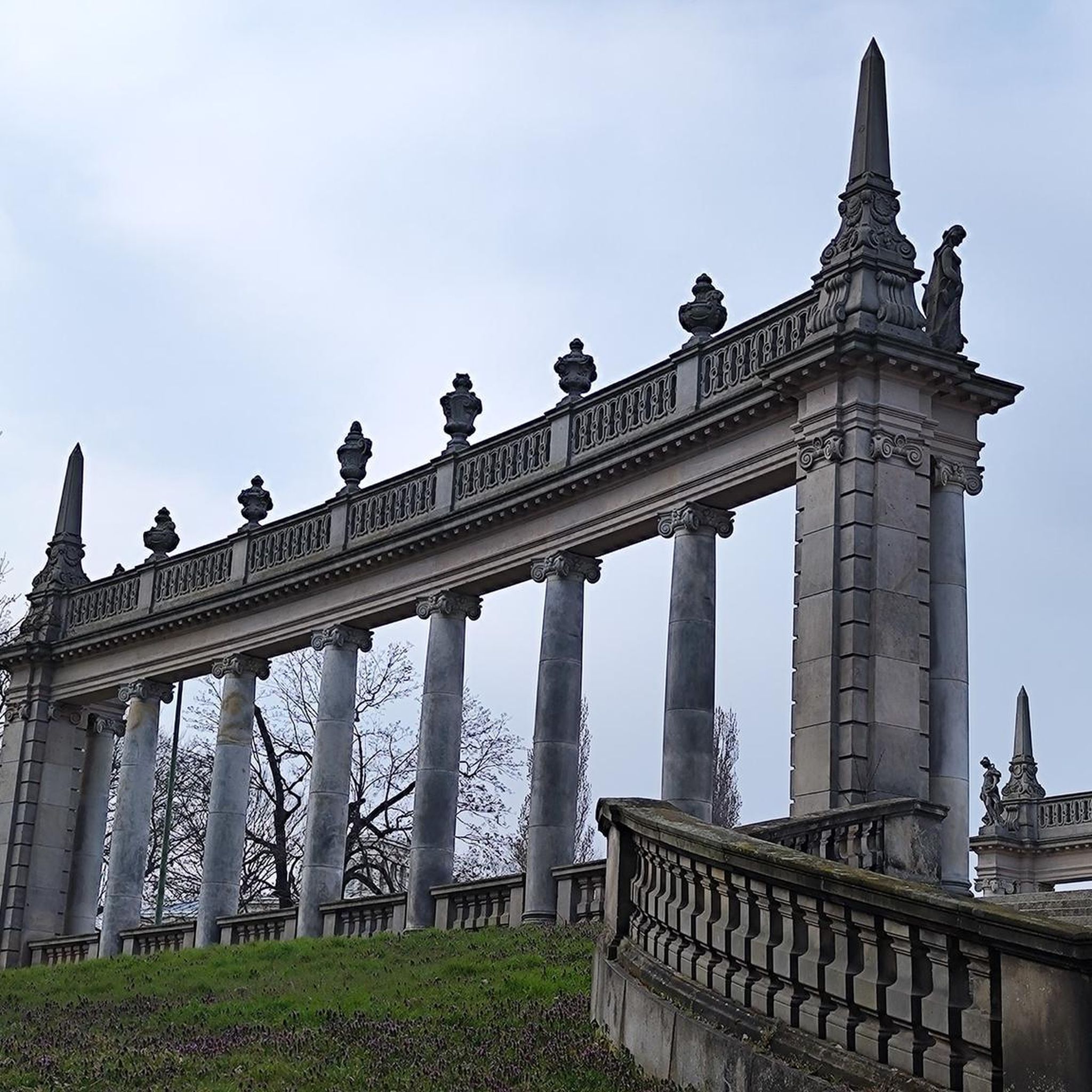
Hikes from bus stations around Usingen

Hikes from bus stations around Königstein im Taunus

Hikes from bus stations around Weilrod

Hikes from bus stations in Altkönig

Hikes from bus stations around Kronberg
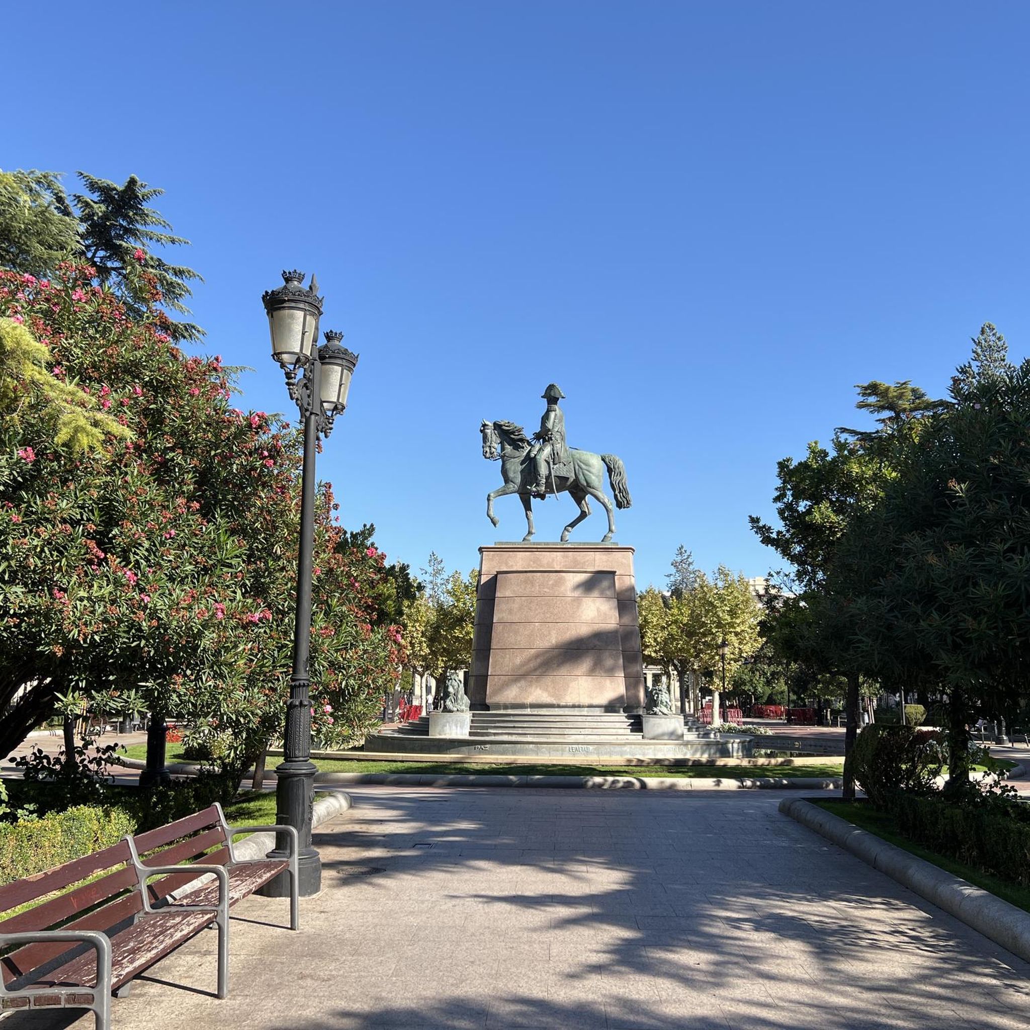
Hikes from bus stations around Neu-Anspach
Hikes from bus stations around Oberursel
Hikes from bus stations around Friedrichsdorf
Other adventures in Hochtaunuskreis


Tips from the Community

The family-run Gasthaus Ochs from 1896 is not just a hotel. There are also two restaurants and a café in the house.
1
0

You can take a lovely walk along the Limes. There's the Limes Adventure Trail.
0
0


The rock rises out of the forest above Schmitten. From here, you can overlook the whole of Schmitten and even take a break at the shelter.
2
1

Very nice place to take a break.
0
0

beautiful mini golf course at the foot of Neuweilnau. Has a few interesting courses
0
0

Frequently Asked Questions
How many bus-accessible hiking trails are available in Hochtaunuskreis?
Hochtaunuskreis offers a vast network of bus-accessible hiking trails, with over 1600 routes available. This includes nearly 1000 easy trails, over 600 moderate options, and a selection of more challenging routes for experienced hikers.
What natural features can I expect to see on bus-accessible hikes in Hochtaunuskreis?
The region is characterized by its picturesque rolling hills and dense forests within the Taunus Mountains. Many trails will lead you past unique natural areas such as the Eschbach Cliffs and Maibach Switzerland. You might also encounter the serene Schwarzenbach Dam or the natural monument "Hohler Stein".
Are there historical sites or cultural landmarks accessible from bus stops?
Yes, Hochtaunuskreis seamlessly blends historical and cultural attractions into its outdoor offerings. Many bus-accessible trails incorporate sections of the Roman Limes, a UNESCO World Heritage Site, with remnants of Roman walls and watchtowers. A notable highlight is the Saalburg Roman fort, the world's only reconstructed Roman fort. You can explore this on routes like the Saalburg and Herzberg Loop.
What do other hikers say about the bus-accessible trails in Hochtaunuskreis?
The komoot community highly rates the trails in Hochtaunuskreis, with an average score of 4.6 out of 5 stars from over 28,000 ratings. Hikers often praise the well-maintained paths, the diverse landscapes, and the excellent accessibility via public transport.
Are there any circular routes that start and end at a bus station?
Yes, many bus-accessible trails in Hochtaunuskreis are designed as circular routes, allowing you to return to your starting point without needing additional transport. An example is the Rundwanderweg Libelle Usingen, which offers a moderate 14.5 km loop.
Can I find trails suitable for families with children?
Hochtaunuskreis offers numerous family-friendly trails accessible by bus. These often feature gentler inclines and points of interest that appeal to younger hikers. Look for routes that are shorter in distance and have less elevation gain for a comfortable family outing.
Are there bus-accessible hikes that lead to scenic viewpoints?
Absolutely. The region is known for its panoramic views, especially from higher elevations. The Großer Feldberg, the highest peak in the Taunus, offers extensive vistas. You can also find trails leading to specific viewpoints like the Lips Temple Observation Tower or the Gilboa Temple Viewpoint on Hünerberg.
What is the best time of year to go hiking from bus stations in Hochtaunuskreis?
The best times for hiking in Hochtaunuskreis are typically spring and autumn. Spring brings blossoming flora and mild temperatures, while autumn offers pleasant weather and vibrant foliage. However, many trails are accessible year-round, with winter hikes providing a unique, tranquil experience.
Are there options for a cafe or restaurant stop along bus-accessible routes?
Yes, many trails in Hochtaunuskreis pass by charming inns, huts, or cafes where you can take a break and refuel. For example, you might encounter places like Anita's Fuchstanz or the Fuchstanz: The Forest Inn, which are popular stops for hikers.
Can I explore unique rock formations on bus-accessible trails?
Yes, the region features interesting geological formations. You can discover unique rock formations, particularly in areas like Maibach Switzerland. Consider routes such as Rock Formations by the Stream – Maibacher Schweiz Forest Trail loop from Detzelbachtal bei Wernborn for this experience.
Are there any challenging bus-accessible hikes for experienced hikers?
While many trails are moderate, Hochtaunuskreis does offer more challenging options for experienced hikers, often featuring steeper inclines and longer distances. These routes provide a good workout and are typically found in the higher elevations of the Taunus Mountains, such as sections of the Bergwanderweg.
Most popular routes in Hochtaunuskreis
Most popular attractions in Hochtaunuskreis

Get inspired with the komoot mobile app


Didn’t find what you were looking for?
Check out more Hikes throughout Hochtaunuskreis below and find the perfect route in your destination.
Explore more
Browse the best Hikes in other regions.
