The best waterfall hikes and walks in Hochtaunuskreis
4.6
(32393)
117,893
hikers
20
hikes
Waterfall hiking trails in Hochtaunuskreis are situated within the Taunus low mountain range, characterized by rolling hills and dense forests. The region features varied terrain, including steep slopes and valleys, with the Großer Feldberg as its highest peak. Trails often follow rivers and streams, providing diverse natural environments for exploration.
Best waterfall hiking trails in Hochtaunuskreis
- The most popular waterfall hiking route is View of Frankfurt – Billtal Waterfall loop from Königstein im Taunus, a 5.8 miles (9.3 km)…
Last updated: September 28, 2026
4.6
(69)
286
hikers
Moderate hike. Good fitness required. Easily-accessible paths. Suitable for all skill levels.
4.7
(76)
229
hikers
Hard hike. Very good fitness required. Easily-accessible paths. Suitable for all skill levels.

4.4
(16)
52
hikers
Easy hike. Great for any fitness level. Easily-accessible paths. Suitable for all skill levels.
4.7
(15)
40
hikers
Moderate hike. Good fitness required. Easily-accessible paths. Suitable for all skill levels.
4.9
(21)
43
hikers
16.2km
04:44
440m
440m
Moderate hike. Good fitness required. Easily-accessible paths. Suitable for all skill levels.
Get access to more routes and recommendations from other explorers.
Already have an account?
Our route recommendations are based on thousands of hikes, rides, and runs completed by other people on komoot.
Start today with a free account
Your next adventure awaits.
Popular around Hochtaunuskreis

Waterfall hikes around Königstein im Taunus
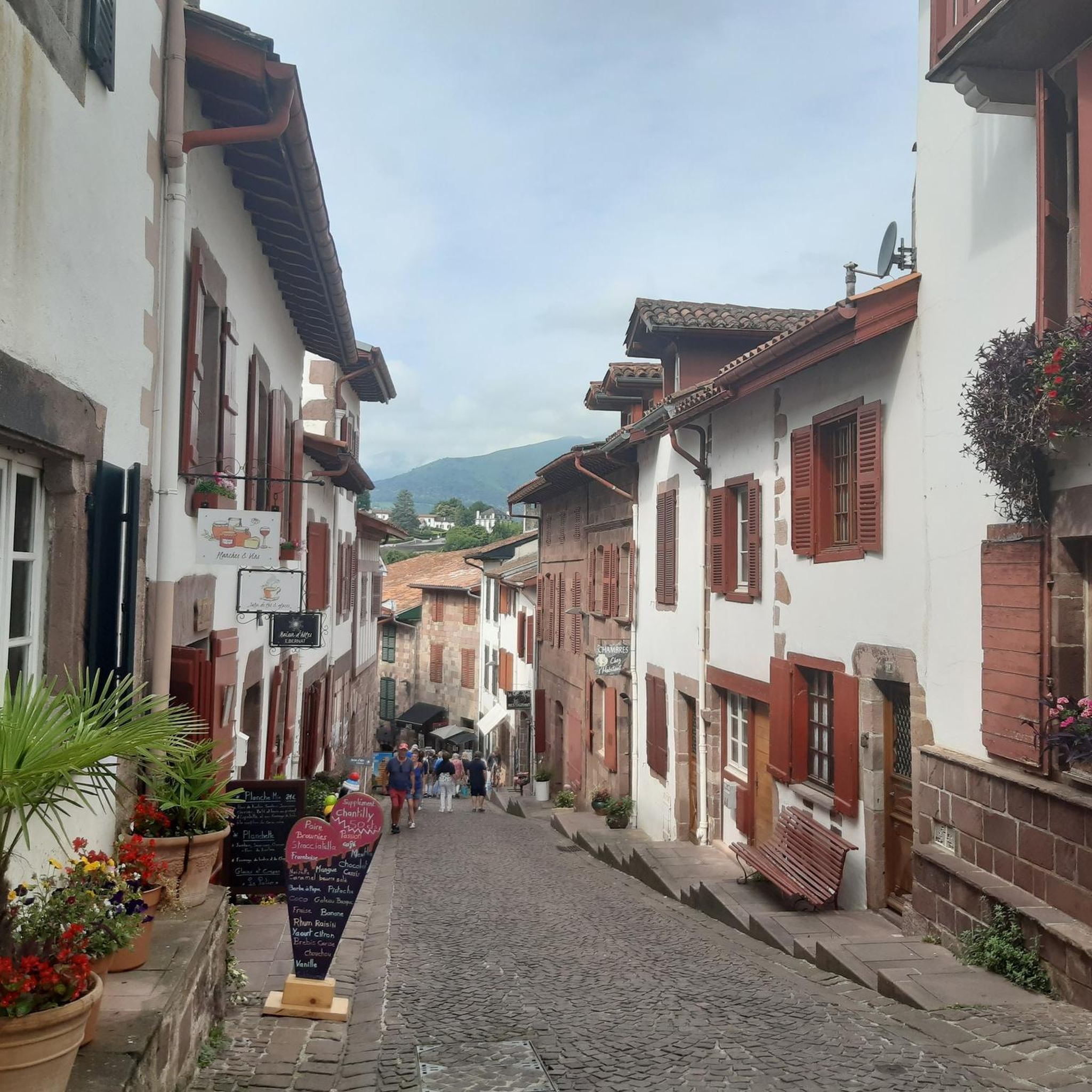
Waterfall hikes around FFH-Gebiet Oberurseler Stadtwald und Stierstädter Heide
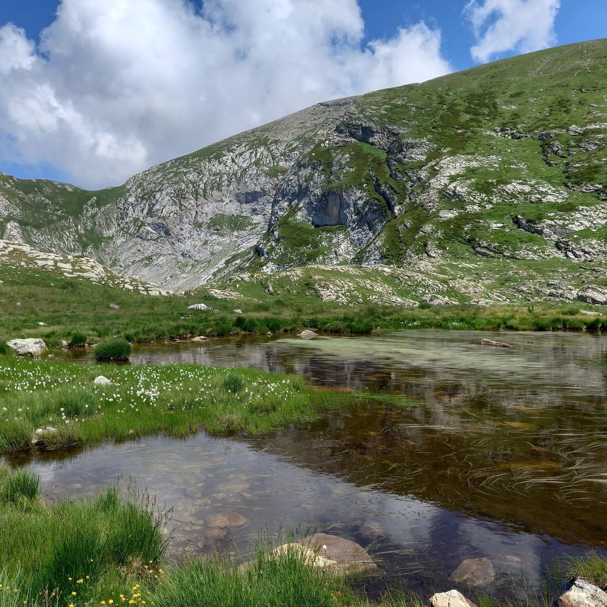
Waterfall hikes in Altkönig

Delightfully scenic hiking in the Taunus range
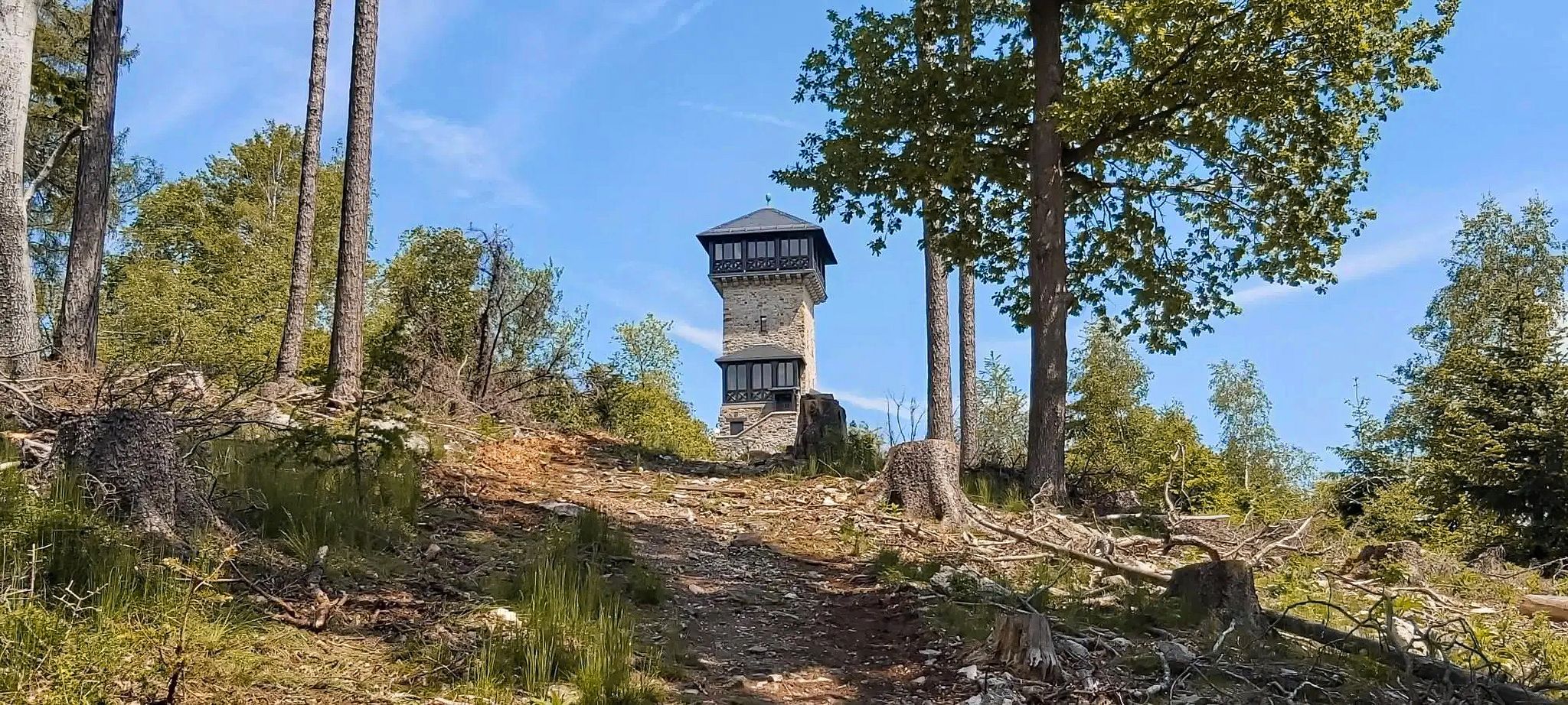
Autumn views: to the most beautiful vantage points in the RMV area

The National Natural Landscapes in Hessen

Winter adventures by public transport – hikes for the whole family

Orchards, vineyards, taverns – hikes in the RMV area

History, forest and gnomes – hiking in Germany’s Hochtaunus region

Varied winter hikes in Germany’s Rhine-Main region
Other adventures in Hochtaunuskreis


Tips from the Community

Beautiful path! Gladly again!
0
0

From Schneidhain you have a great view of the castle ruins. A sight that is worth it.
1
0

Beautiful pond in the city park of Königstein
1
0

Important reminder!
1
0

Very pretty, but be careful: there is giant hogweed along some of the paths - don't touch it!
0
0


A beautiful large meadow for many activities.
1
0
Frequently Asked Questions
How many waterfall hiking trails are there in Hochtaunuskreis?
Hochtaunuskreis offers a good selection of waterfall hiking trails. There are over 20 routes specifically featuring waterfalls, catering to various skill levels.
What is the best time of year for waterfall hikes in Hochtaunuskreis?
The best seasons for waterfall hiking in Hochtaunuskreis are spring and autumn. During these times, the weather is mild, and the landscapes are particularly beautiful, with blooming plants in spring or vibrant autumn colors. Waterfalls also tend to be more voluminous after spring thaws or autumn rains.
Are there any easy waterfall hikes suitable for families or beginners?
Yes, there are several easy waterfall hikes. For a shorter, more relaxed option, consider the Spring catchment in the Taunus – Billtal Waterfall loop from Königstein im Taunus. This easy route is about 4.4 km long and takes just over an hour to complete, making it ideal for families or those new to hiking.
What kind of terrain can I expect on waterfall trails in Hochtaunuskreis?
Waterfall trails in Hochtaunuskreis typically navigate through the Taunus low mountain range, featuring rolling hills, dense forests, and varied terrain. You can expect paths that follow rivers and streams, with some routes including steeper sections and valleys. The region's highest peak, the Großer Feldberg, also offers more challenging ascents.
What do other hikers enjoy most about the waterfall trails in Hochtaunuskreis?
The waterfall trails in Hochtaunuskreis are highly rated by the komoot community, with an average score of 4.6 stars from over 28,000 reviews. Hikers often praise the beautiful natural scenery, the well-maintained paths, and the refreshing experience of discovering the region's waterfalls, especially the prominent Billtal Waterfall.
Are there any circular waterfall walks in the area?
Many waterfall trails in Hochtaunuskreis are designed as circular routes, allowing you to start and end at the same point. An example is the Naturefriends House Billtalhöhe – Billtal Waterfall loop from Krebsbachtal bei Ruppertshain, which is a moderate 13.7 km path through forested areas and past the Billtal Waterfall.
Can I bring my dog on waterfall hikes in Hochtaunuskreis?
Generally, dogs are welcome on hiking trails in Hochtaunuskreis. However, it's always advisable to keep your dog on a leash, especially in nature reserves, near wildlife, or in areas with livestock. Be sure to check specific trail regulations or local signage for any restrictions before you go.
Are there any challenging waterfall hikes for experienced trekkers?
For experienced hikers seeking a challenge, the Billtal Waterfall – Großer Feldberg Summit loop from Königstein (Taunus) is an excellent choice. This difficult 17.0 km trail leads through dense forests and includes a significant ascent towards the Großer Feldberg summit, offering rewarding views.
What other natural attractions can I explore near the waterfall trails?
Beyond the waterfalls, Hochtaunuskreis offers diverse natural beauty. You can explore other water features like the tranquil Schwiederweiher or the Grünbach Waterfall and Pond. The region is also characterized by the Taunus Mountains, including the panoramic views from the Großer Feldberg, and extensive forests.
Are there any historical sites or landmarks along the waterfall routes?
While the waterfall routes primarily focus on natural beauty, the broader Hochtaunuskreis region is rich in history. Many trails in the area lead past remnants of historical castles and ruins. The UNESCO World Heritage Limes Trail, a former Roman border wall, also runs through parts of the Taunus, offering a glimpse into ancient history.
Where can I find parking for waterfall hikes?
Many trailheads for waterfall hikes in Hochtaunuskreis, particularly those starting from towns like Königstein im Taunus or Krebsbachtal bei Ruppertshain, offer designated parking areas. It's recommended to check the specific route details on komoot for information on parking availability near your chosen starting point.
Are there any cafes or restaurants near the waterfall trails?
Yes, several towns and villages in Hochtaunuskreis, such as Königstein im Taunus, offer various dining options. For example, the Naturefriends House Billtalhöhe – Billtal Waterfall loop starts near the Naturefriends House, which often provides refreshments. Many routes are also accessible from towns with cafes and restaurants for pre- or post-hike meals.
Most popular routes in Hochtaunuskreis
Most popular attractions in Hochtaunuskreis

Get inspired with the komoot mobile app


Didn’t find what you were looking for?
Check out more Hikes throughout Hochtaunuskreis below and find the perfect route in your destination.
Explore more
Browse the best Hikes in other regions.
