The best hikes from bus stations in Main-Taunus-Kreis
4.5
(14239)
59,339
hikers
1,022
hikes
Hiking in Main-Taunus-Kreis offers a diverse landscape within the Taunus Nature Park, characterized by green forests, gentle peaks, and winding valleys. The region features a mix of beech and fir trees, alongside wildflower and fruit tree meadows. Hikers can experience varied terrain, from the lower slopes of the Taunus Mountains to views of the Rhine-Main plain and the Frankfurt skyline.
Best bus station hiking trails in Main-Taunus-Kreis
- The most popular bus station hiking route is Flörsheim Switzerland – Riesling Loop…
Last updated: October 11, 2026
4.6
(512)
1,540
hikers
6.96km
01:50
60m
60m
Easy hike. Great for any fitness level. Easily-accessible paths. Suitable for all skill levels.
4.3
(125)
451
hikers
7.74km
02:00
40m
40m
Moderate hike. Good fitness required. Easily-accessible paths. Suitable for all skill levels.

4.4
(95)
365
hikers
12.9km
03:35
240m
240m
Moderate 8-mile hike in Naturpark Taunus, exploring Hofheim's Stadtwald and reaching Meisterturm for views.
4.4
(248)
707
hikers
Moderate hike. Good fitness required. Easily-accessible paths. Suitable for all skill levels.
4.8
(831)
2,349
hikers
Moderate hike. Good fitness required. Mostly accessible paths. Sure-footedness required.
Get access to more routes and recommendations from other explorers.
Already have an account?
Our route recommendations are based on thousands of hikes, rides, and runs completed by other people on komoot.
Start today with a free account
Your next adventure awaits.
Popular around Main-Taunus-Kreis
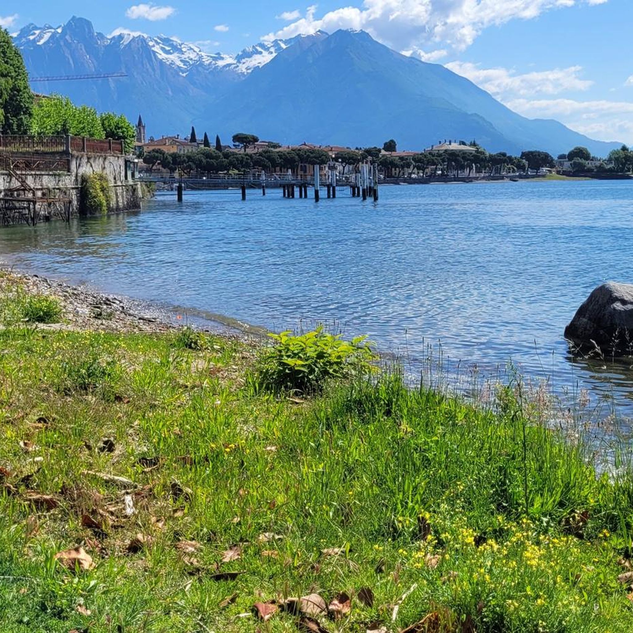
Hikes from bus stations around Kelkheim
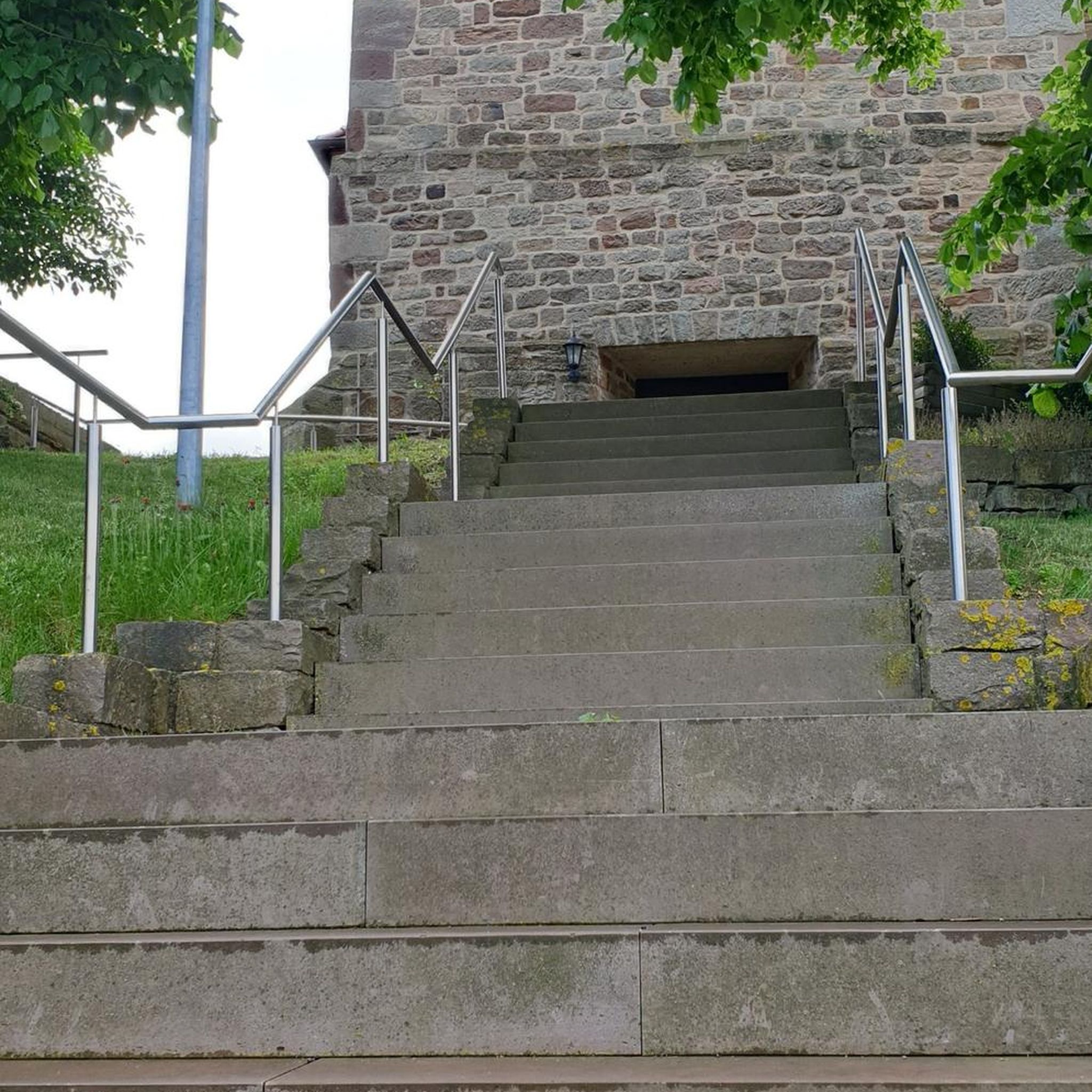
Hikes from bus stations around Hofheim am Taunus
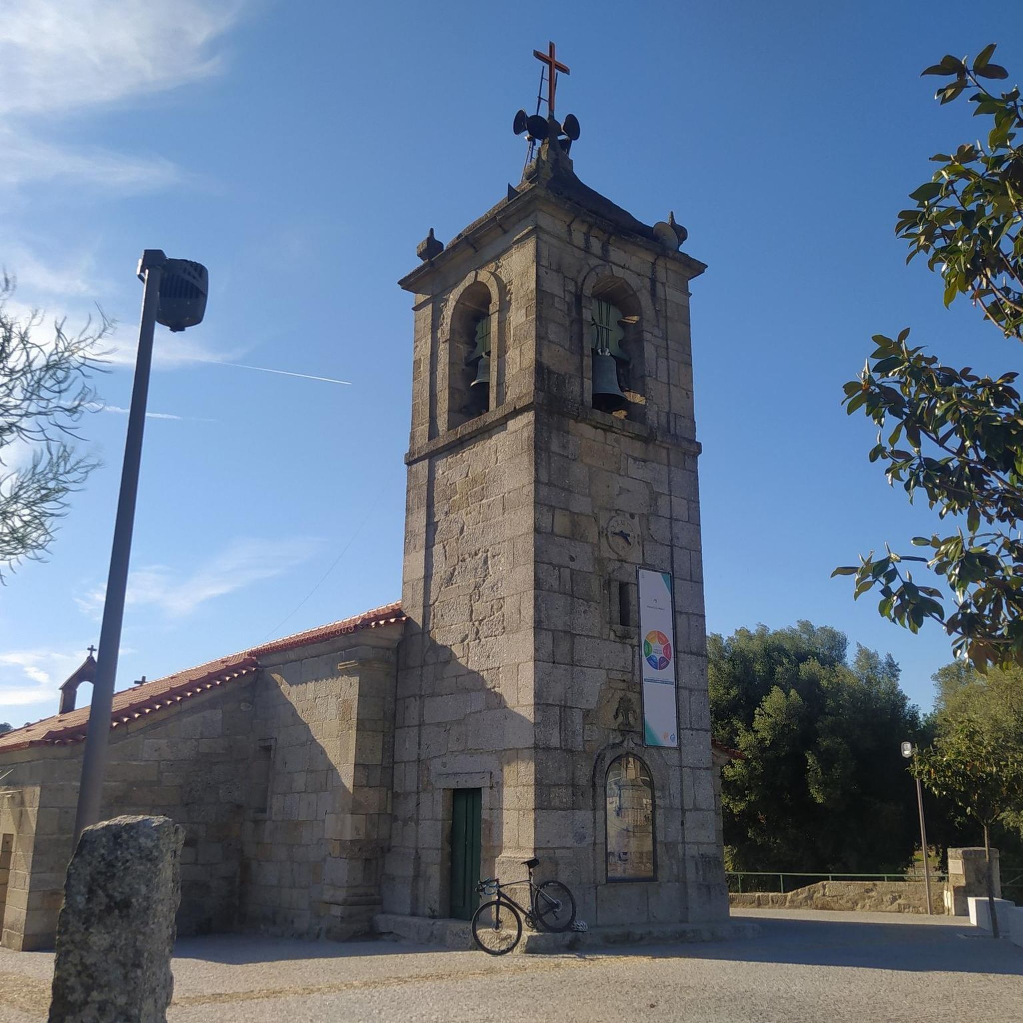
Hikes from bus stations around Eppstein
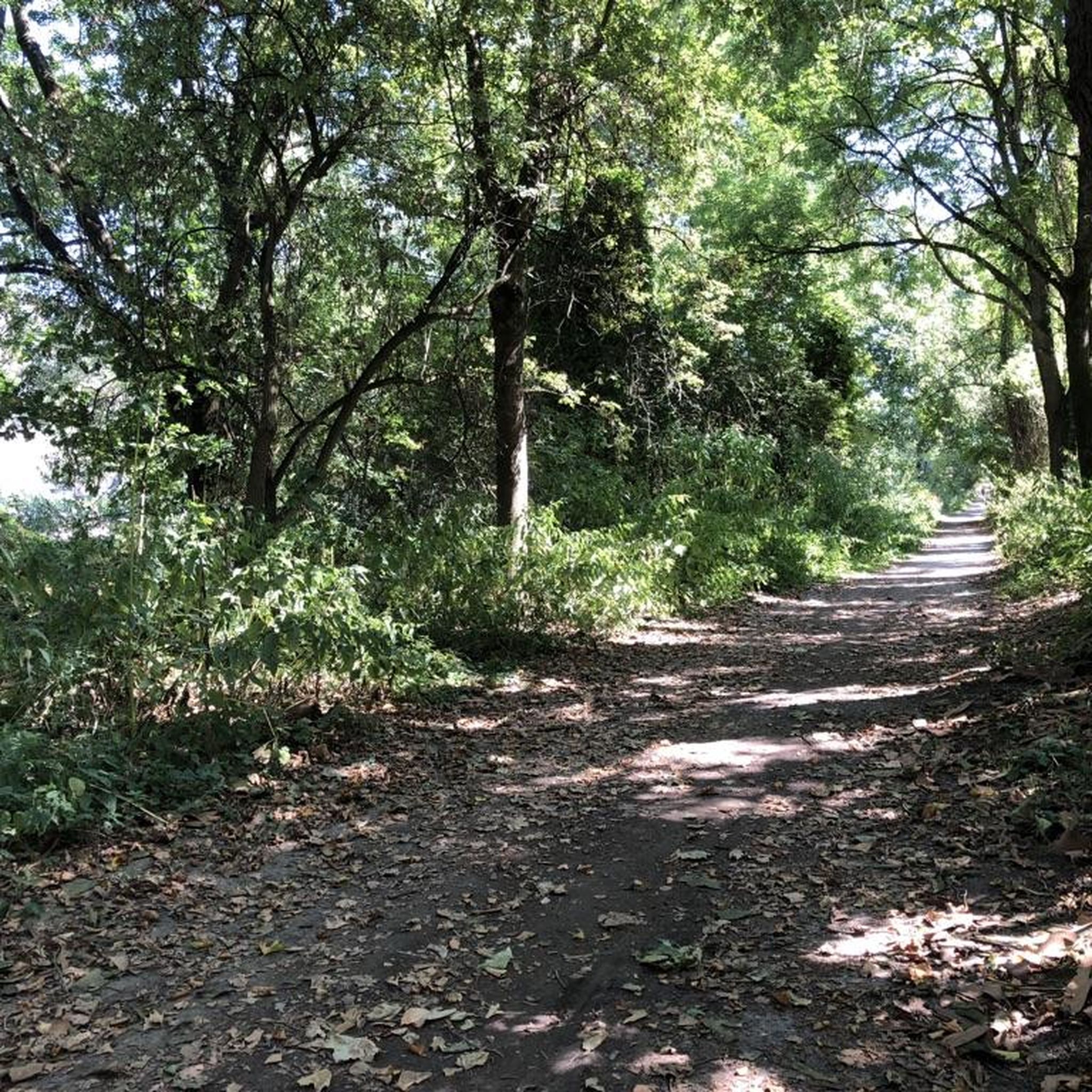
Hikes from bus stations around Flörsheim
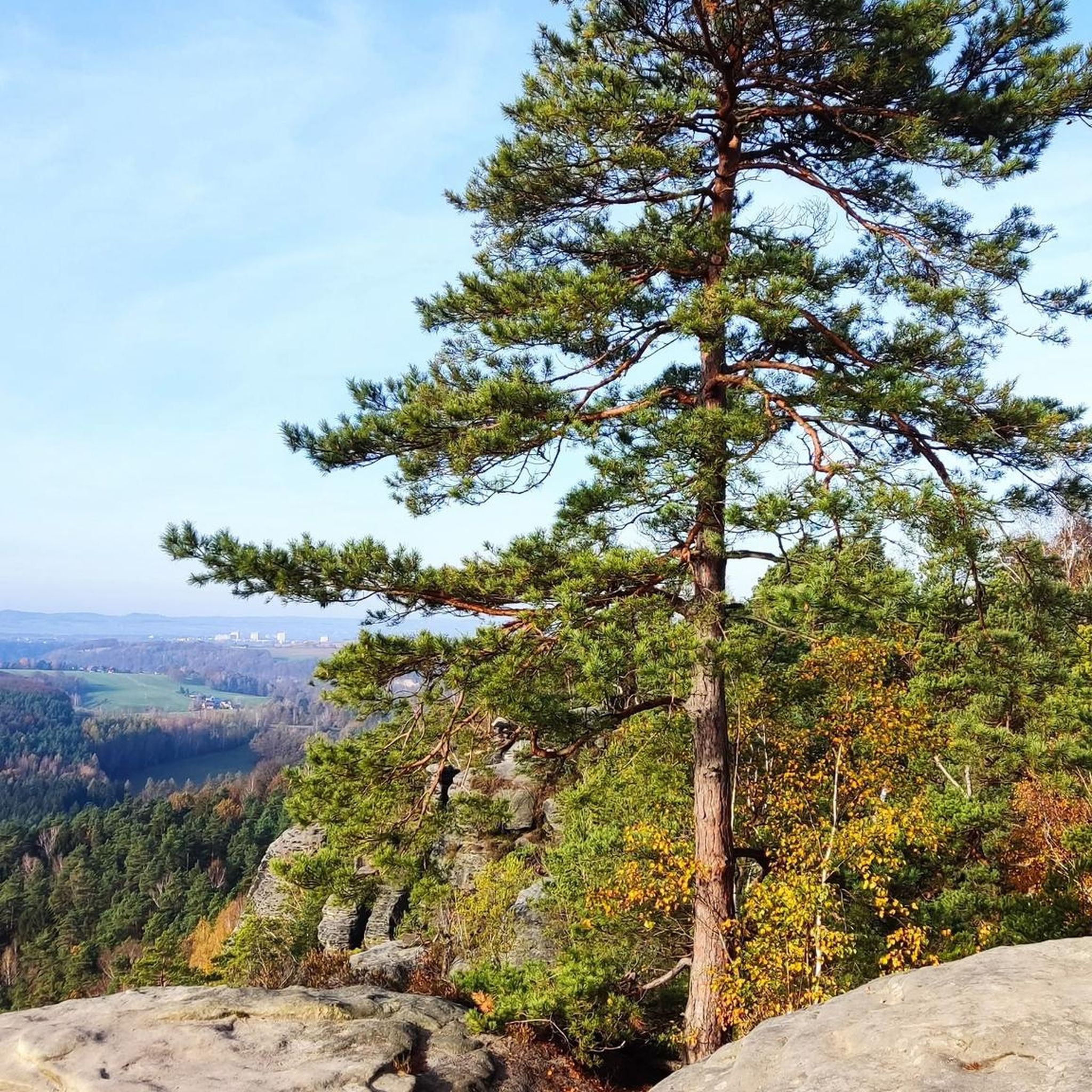
Hikes from bus stations in Stadtwald Hofheim
Hikes from bus stations around Hattersheim
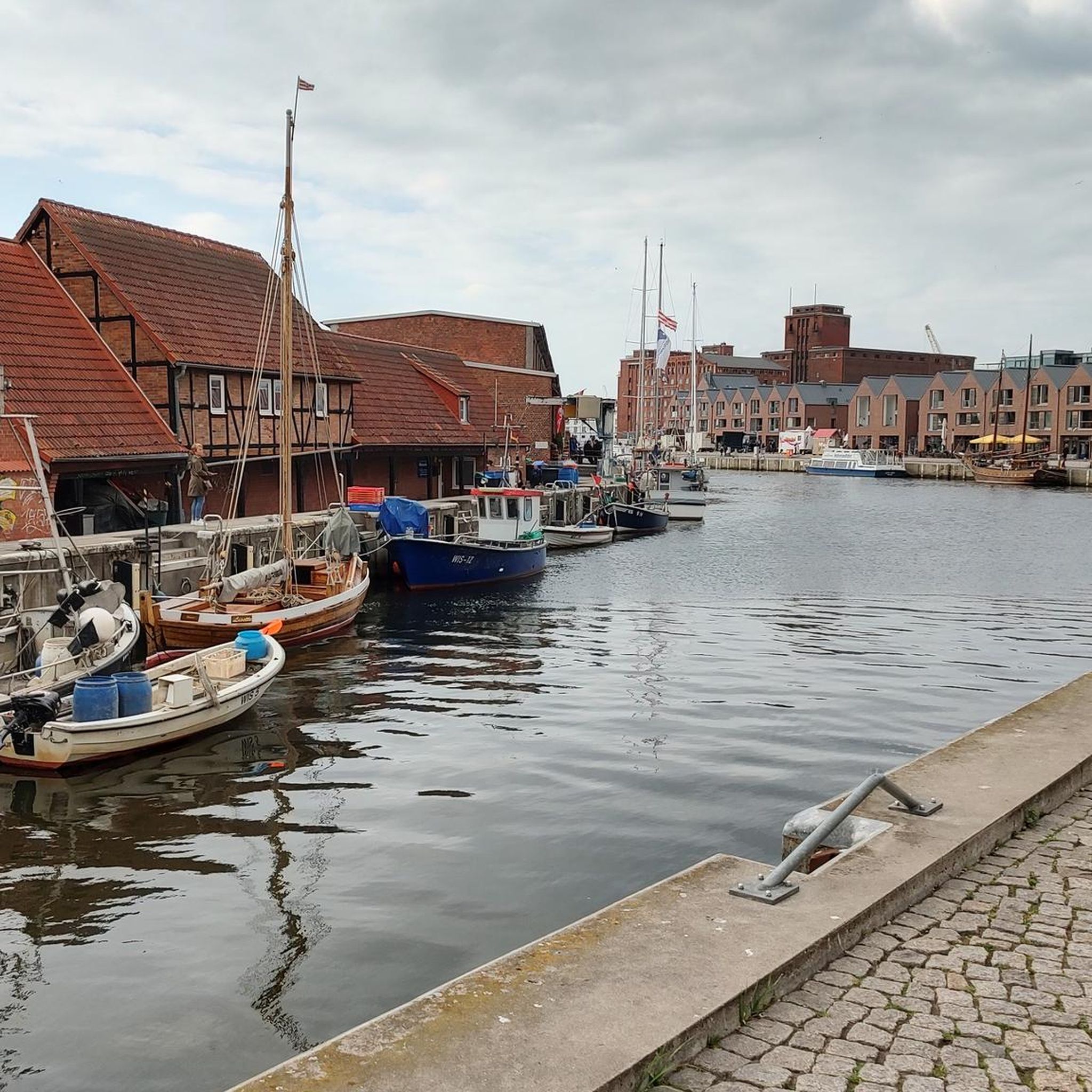
Hikes from bus stations around Bad Soden am Taunus
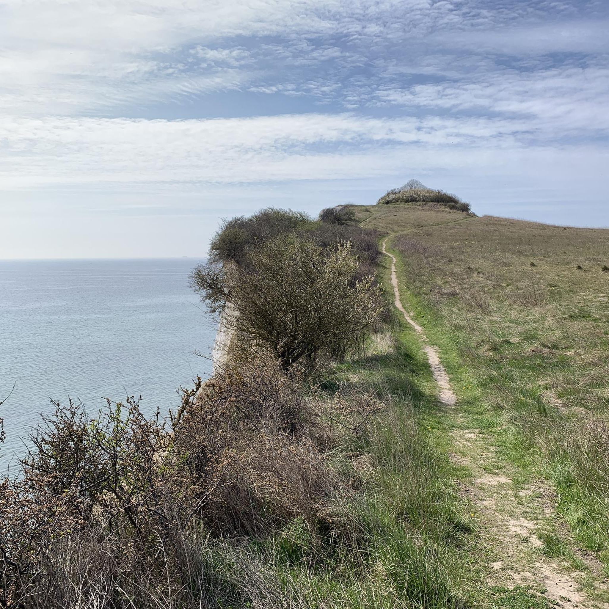
Hikes from bus stations around Kriftel

Hikes from bus stations around Liederbach am Taunus

Delightfully scenic hiking in the Taunus range
Other adventures in Main-Taunus-Kreis


Tips from the Community

The Flörsheimer Warte, a former watchtower, was part of the Kasteler Landwehr in the 15th century, which the Archbishopric of Mainz had established to protect its possessions on the right bank of the Rhine. After secularization (1803), the Landwehr lost its importance, as there was nothing left to defend due to lack of substance. The Flörsheimer Warte gradually fell into ruin. In 1996, a reconstruction based on historical models was built next to the relics of the medieval defensive tower. From here, there are magnificent panoramic views in all four cardinal directions over the Rheingau and the Taunus to the Frankfurt skyline. The popular excursion restaurant "Flörsheimer Warte" with a wine garden and weekend winter lounge invites you to enjoy Spundekäs, Handkäs, and Bauernsalat, accompanied by the best drops from the vineyards in Wicker and Hochheim. More information: https://www.rheingau.com/infosystem/floersheimer-warte/poi.html.
1
0
Taste wine and enjoy it in the open air. At the eastern gate to the Rheingau, vintners welcome you in the wine village of Wicker at the "Gate to the Rheingau" on a regular rotation from April to the end of September. https://www.rheingau.com/infosystem/weinprobierstand-floersheim-am-main/poi.html
1
0

Very idyllic. Unfortunately, there are currently a few tree trunks lying across the path.
0
0

The Iron Tree near Flörsheim am Main is a widely visible, artificial landmark of the RheinMain Regional Park. The striking, 18-meter-high steel structure stands on a hill in the middle of a scenically attractive nature reserve between Flörsheim and Hochheim – in the immediate vicinity of the local Jewish cemetery. It functions simultaneously as an accessible observation tower and a modern work of art intended to address humanity's laborious replication of nature. A spiral staircase leads visitors to a nine-meter-high viewing platform, which offers a spectacular panoramic view over the entire Rhine-Main area, the Taunus ridge, the Odenwald forest, and as far as Rüsselsheim. The special feature of the sculpture is its solar-powered sound system: The Iron Tree has leaves with integrated solar cells in its upper section. As soon as the sun shines during the day and someone steps onto the platform, an audio system is activated. The tree then begins to speak and provides visitors with information about its own construction, the surrounding landscape, and societal issues such as genetic engineering. The steel sculpture is constructed from a thick trunk and ten large, artificial main branches. Each of these branches is composed of 29 precisely bolted individual parts and carries a total of 92 steel leaves. Following an extensive renovation phase, during which all aged and rusty metal leaves were completely renewed in three stages, the talking observation tower has been shining in new splendor again since summer 2024 and is a popular destination for hikes and bike tours.
13
0

The Hochheim vineyards are world-famous and beautiful. When Riesling from Germany was the most sought-after and expensive wine in the world during the Victorian era (mid to late 19th century) (even ahead of Burgundy and Bordeaux), it was also the latest "craze" in England. Due to the German roots of the English royal family and the connections to Hochheim, "Hochheimer" became synonymous with German Riesling. Since the English tended to pronounce "ch" as "k", "Hochheimer" quickly became "Hockheimer" and ultimately a short form "the Hock". Hock is still a fixed term in English traditional wine bars today.
0
0
The Obermühle is a wonderful building. Nestled in a valley and surrounded by history (Roman kilns and, a dark part of history of witch hunts). It is a listed building and dates from the 15th century, but was operated until the 1970s. The building is private, but there is also a holiday apartment there: https://www.obermuehle-traiser.de/
1
0

It's always nice to let your gaze wander over the vineyards.
2
0
One of our favorite wine stands and a regular stop. View? No, but a very cozy courtyard, the hosts super friendly, clean toilets (there are others with dirty chemical toilets in the Rheingau...).
1
0
Frequently Asked Questions
How many bus-accessible hiking trails are there in Main-Taunus-Kreis?
The Main-Taunus-Kreis offers a vast network of hiking trails, with over 1,000 routes accessible from bus stations. These trails cater to all skill levels, from leisurely strolls to more challenging ascents.
What is the best time of year to hike from bus stations in Main-Taunus-Kreis?
Hiking in Main-Taunus-Kreis is enjoyable year-round. Spring and autumn are particularly scenic, with blooming flowers and vibrant foliage. Even in winter, the area offers opportunities for outdoor activities, though some trails might be better suited for warmer months. Public transport makes access convenient in any season.
What do other hikers enjoy most about the bus-accessible trails in Main-Taunus-Kreis?
The bus-accessible trails in Main-Taunus-Kreis are highly rated by the komoot community, with an average score of 4.5 stars from over 12,800 ratings. Hikers often praise the diverse landscapes, well-maintained paths, and the convenience of reaching trailheads via public transport.
Are there easy hiking trails accessible by bus in Main-Taunus-Kreis?
Yes, the region boasts a large number of easy hiking trails accessible by bus. Over 770 routes are classified as easy, making them suitable for casual walkers, families, and those looking for a relaxed outdoor experience. An example is the Flörsheim Switzerland – Riesling Loop, which offers gentle terrain and beautiful views.
Are there more challenging bus-accessible hikes in the region?
For those seeking a greater challenge, Main-Taunus-Kreis offers over 250 moderate and 19 difficult bus-accessible hiking routes. These trails often feature more significant elevation changes and longer distances, leading to panoramic viewpoints and through varied terrain. The Staufen Summit Cairn – Emperor's Temple, Eppstein loop is a moderate option with notable ascents.
Can I bring my dog on bus-accessible hikes in Main-Taunus-Kreis?
Yes, many trails in Main-Taunus-Kreis are dog-friendly. The Taunus Nature Park generally welcomes dogs, provided they are kept on a leash, especially in forested areas and near wildlife. Always ensure your dog is well-behaved and that you clean up after them. The Opel Zoo, a unique attraction in the region, even allows dogs on specific tours.
Are there family-friendly hiking trails accessible by bus?
Absolutely! Main-Taunus-Kreis has numerous family-friendly hiking trails that are easily reached by bus. These routes often feature gentle gradients, interesting natural features, and sometimes even playgrounds or picnic spots. The Hofheim Wildlife Park – Kapellenberg Pine Grove loop is a great option for families, offering a mix of nature and potential wildlife spotting.
What natural features can I expect to see on bus-accessible hikes?
The Main-Taunus-Kreis, nestled within the Taunus Nature Park, offers diverse natural beauty. You can expect lush forests, gentle peaks, bubbling streams, and winding valleys. Notable natural landmarks include the Großer Feldberg, the highest mountain in the Taunus, and picturesque wildflower meadows. Some routes also pass by unique features like the spectacular cliffs at Esbach or the Hohler Stein near Ruppertshain.
Are there historical landmarks or points of interest along bus-accessible routes?
Yes, the region is rich in history. Many bus-accessible trails incorporate historical attractions. You might encounter the UNESCO World Heritage site of the Saalburg Roman Fort, the medieval Eppstein Castle, or the Flörsheimer Watchtower. The Kapellenberg Archaeological Loop is a moderate trail that specifically highlights historical points of interest.
Are there bus-accessible circular hiking routes in Main-Taunus-Kreis?
Yes, many of the hiking trails accessible by bus in Main-Taunus-Kreis are circular routes, allowing you to start and end your hike at the same bus stop without needing to arrange return transport. The Wine and Victoria – Riesling Loop is an easy circular option, perfect for a day trip.
Where can I find panoramic views on bus-accessible hikes?
Main-Taunus-Kreis offers numerous viewpoints with expansive vistas. Peaks like the Großer Feldberg, Rossert, and Atzelberg provide impressive views. The Atzelberg Telecommunication Tower and the View from the Atzelberg Tower are popular spots for panoramic scenery, often integrated into bus-accessible routes.
Most popular routes in Main-Taunus-Kreis
Most popular attractions in Main-Taunus-Kreis

Get inspired with the komoot mobile app


Didn’t find what you were looking for?
Check out more Hikes throughout Main-Taunus-Kreis below and find the perfect route in your destination.
Explore more
Browse the best Hikes in other regions.
