The best hikes from bus stations in Hinterland
4.6
(15339)
87,340
hikers
172
hikes
Bus station hiking trails in Hinterland offer access to a diverse landscape characterized by lush rainforests, eucalyptus forests, and significant geological formations. The region features numerous waterfalls, gorges, and serene creeks, providing varied terrain for outdoor activities. Hikers can explore national parks with well-maintained trail systems, ranging from gentle paths to more challenging mountain ascents. This area is known for its natural beauty and varied ecosystems, making it suitable for different hiking preferences.
Best bus station hiking trails in Hinterland
…Last updated: July 25, 2026
4.7
(128)
806
hikers
14.4km
07:32
1,170m
1,170m
Hard hike. Very good fitness required. Sure-footedness, sturdy shoes and alpine experience required.
4.7
(65)
494
hikers
9.47km
04:58
1,170m
100m
Hard hike. Very good fitness required. Sure-footedness, sturdy shoes and alpine experience required.

Sign up for free
4.6
(75)
234
hikers
9.96km
03:07
400m
400m
Moderate hike. Good fitness required. Mostly accessible paths. Sure-footedness required.
4.4
(31)
139
hikers
10.6km
04:16
680m
680m
Moderate hike. Good fitness required. Mostly accessible paths. Sure-footedness required.
4.6
(22)
53
hikers
8.49km
02:29
230m
230m
Moderate hike. Good fitness required. Easily-accessible paths. Suitable for all skill levels.
Get access to more routes and recommendations from other explorers.
Sign up for free
Already have an account?
Our route recommendations are based on thousands of hikes, rides, and runs completed by other people on komoot.
Start today with a free account
Your next adventure awaits.
Login or Signup
Popular around Hinterland

Hikes from bus stations in Bannwald

Alpine Panorama Trail in Switzerland – Keep your eyes on the mountains

Via Jacobi – Following the Way of St James across Switzerland
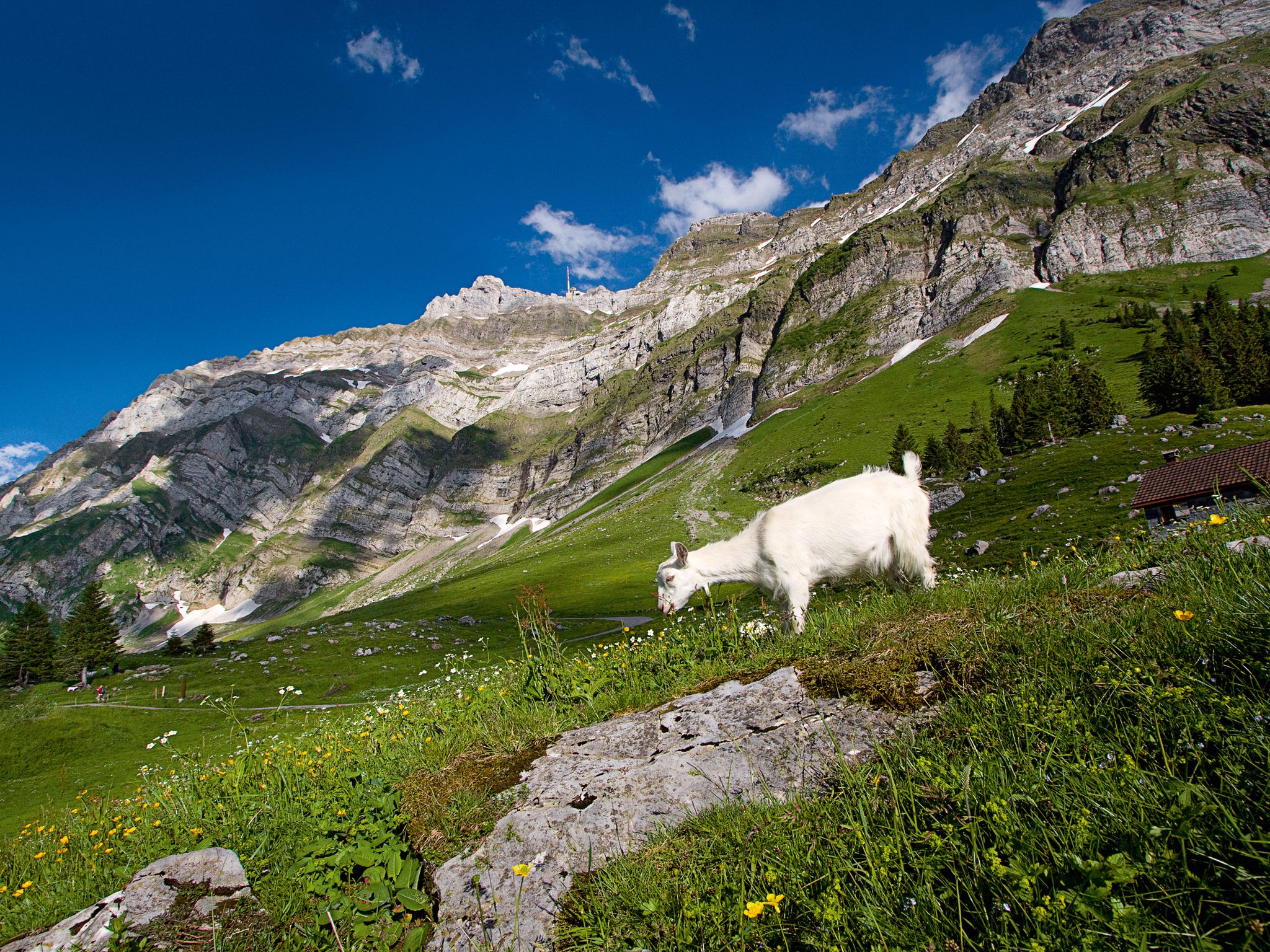
When the mountain awakens – spring hikes around the Schwägalp
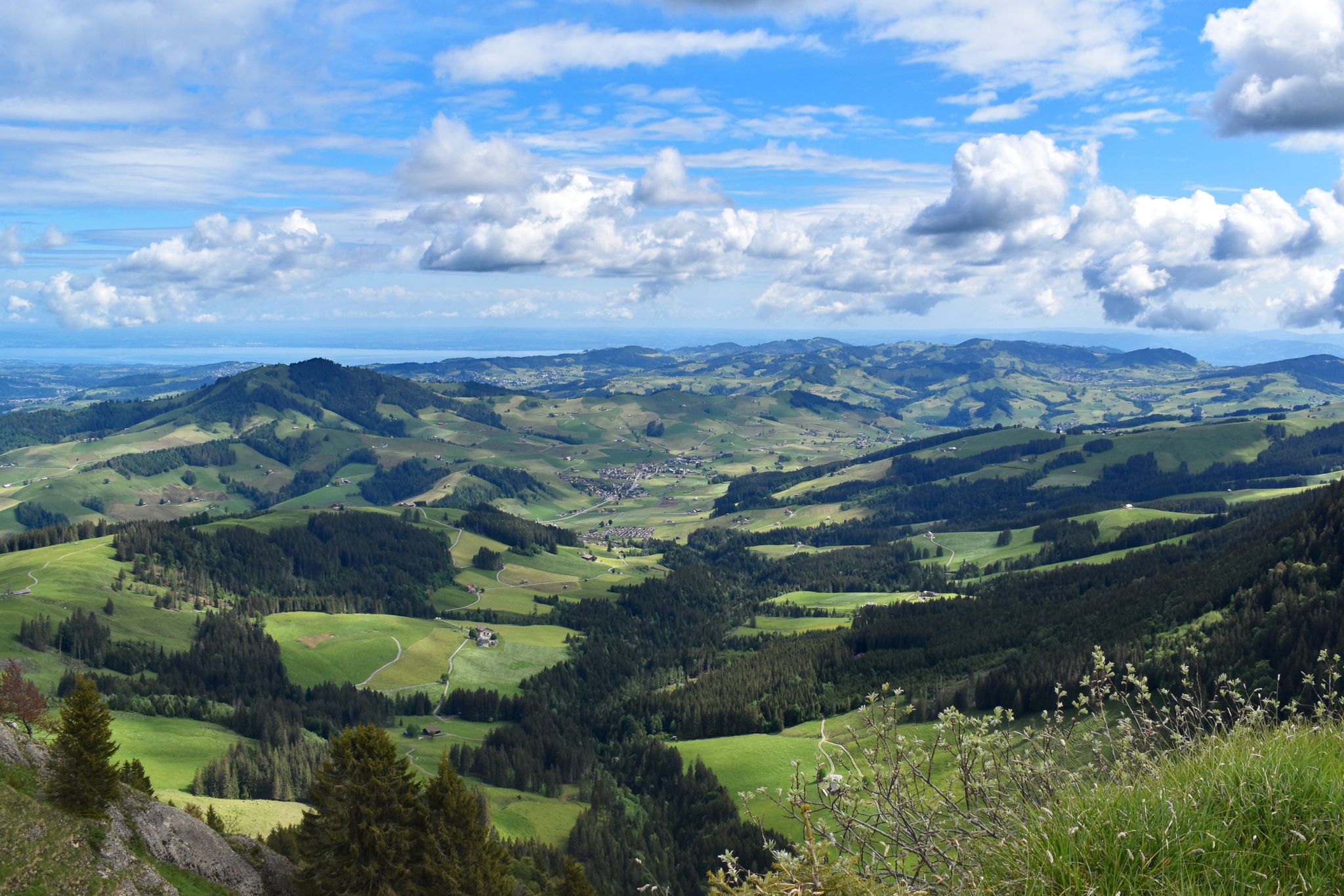
Appenzeller Weg – pilgrimage routes from Austria to Switzerland
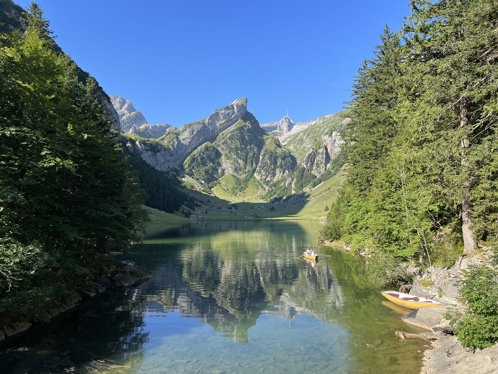
Exciting day hikes in Switzerland’s Alpstein
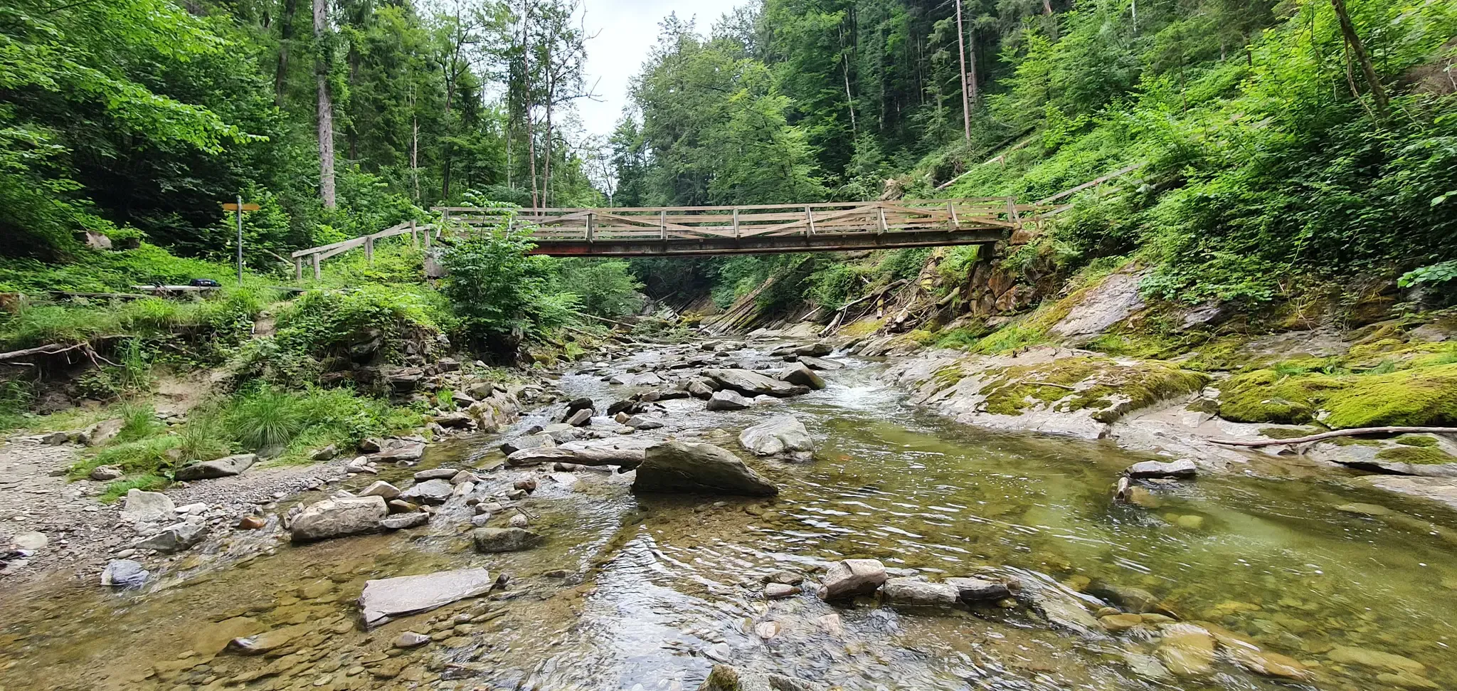
Cultural Trail Appenzellerland - Hiking between Lake Constance and Alpstein
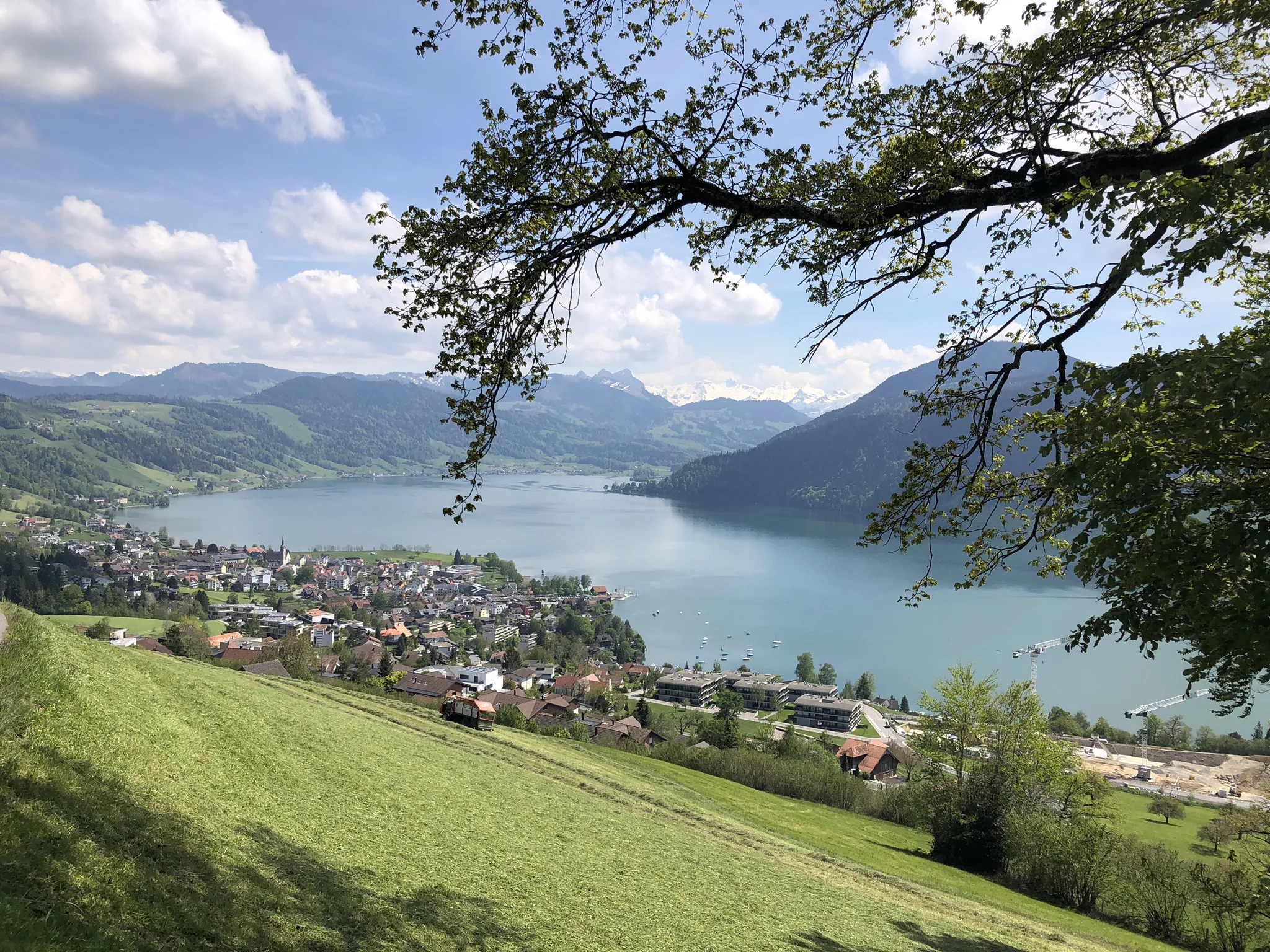
The Herzroute – Cycling through the heart of Switzerland

Lake and Alps Adventure – explore 100 dreamy places in our cycling region!
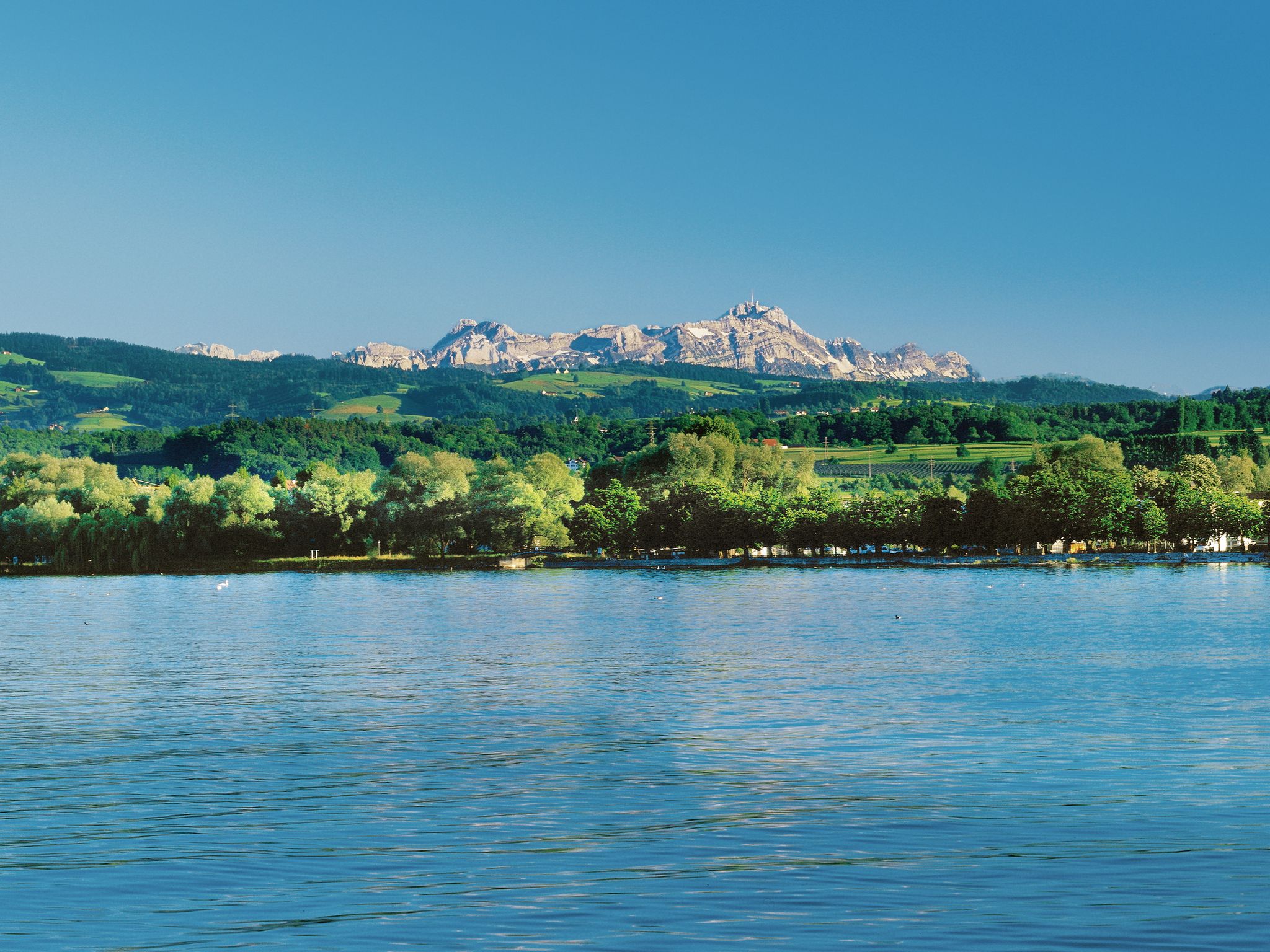
Lake and Alps Main Route – Your Path To Adventure!
Other adventures in Hinterland


Tips from the Community

Adventurous descent, where your hands are definitely used. Still secured at the top, but the further down you go, the more unsecured sections there are, where a certain climbing ability is required and good sure-footedness is assumed. I enjoyed the descent :)
0
0

Steep ascent with MTB from Herisau, first on a meadow path and then on a forest path. Inside the castle walls, a rather large rest area with a fireplace.
0
0

The detour is steep but worthwhile.
0
0


Challenging with a good view.
1
0
Wonderful view when visibility is good.
0
0

Great view of the valley!! Really beautiful! (Not a very technical path but on the mountainside, so be careful if you have vertigo)
2
0
Breathtaking view! Superb trail. If you are not comfortable with chains, it is better to take it uphill than downhill.
2
2
Frequently Asked Questions
How many bus station hiking trails are available in Hinterland?
There are nearly 180 hiking trails in the Hinterland region that are accessible from bus stations. This includes 65 easy, 91 moderate, and 21 difficult routes, offering options for various skill levels.
What kind of landscapes can I expect on bus-accessible hikes in Hinterland?
The Hinterland region, particularly the Sunshine Coast Hinterland, is known for its diverse landscapes. You can expect lush subtropical rainforests, wet eucalyptus forests, and tall eucalypt forests. Many trails also feature spectacular waterfalls, gorges, and iconic mountains like the Glass House Mountains, offering varied scenic backdrops.
Are there any family-friendly bus-accessible hikes in Hinterland?
Yes, the Hinterland offers several family-friendly options. While specific routes are not detailed here, the region's national parks, such as Kondalilla National Park, often have shorter, well-maintained circuits suitable for families. Look for routes marked as 'easy' in the guide, which typically have less elevation gain and shorter distances.
Can I find circular walks starting from a bus station in Hinterland?
Yes, there are circular walks available. For example, the Schwägalp-Spitzli Loop Trail is a moderate 10.5 km route that starts and ends near a bus station, offering a convenient option for a round trip.
What are some notable natural attractions I can see along these bus-accessible trails?
The Hinterland is rich in natural beauty. You can explore stunning gorges like the Wissbach Gorge Trail or visit the impressive Säntis Summit (2,502 m) for panoramic views. Other highlights include the Himmelsleiter (Säntis Summit Ascent) and the scenic area around Schwägalp.
Are there any challenging hikes accessible by bus in Hinterland?
Absolutely. For experienced hikers, routes like To the highest peak of the Alpstein – spectacular Säntis Tour offer significant elevation gain (over 1100m) and distances over 14 km. Another challenging option is From Schwägalp via Potersalp to Säntis, which also involves substantial ascent.
What do other hikers say about the bus-accessible trails in Hinterland?
The komoot community highly rates hiking in Hinterland, with an average score of 4.6 out of 5 stars from over 13,000 ratings. Hikers often praise the region's diverse scenery, from lush forests to stunning mountain vistas, and the convenience of accessing trails directly from public transport hubs.
Are there places to eat or rest near bus stations after a hike?
Yes, some bus-accessible trailheads are located near facilities. For instance, Schwägalp is a known hub with amenities. Additionally, you might find restaurants or cafes, such as the Restaurant at Hundwiler Höhi, along or near certain routes, providing convenient spots for a post-hike meal or refreshment.
What is the best time of year to hike in Hinterland?
The Sunshine Coast Hinterland generally offers pleasant hiking conditions year-round due to its subtropical climate. However, the cooler, drier months from autumn to spring (roughly March to November) are often preferred for hiking, as summer can be hot and humid, with higher chances of rain. Always check local weather forecasts before heading out.
Are there any moderate bus-accessible hikes for a day trip?
Certainly. The From Schönengrund over the Hochhamm route is a moderate 9.9 km hike with about 400m of elevation gain, making it a great option for a day trip. Another moderate choice is Up the Ramsenstock, which is 8.4 km long with over 230m of ascent.
Most popular routes in Hinterland
Most popular attractions in Hinterland

Get inspired with the komoot mobile app


Didn’t find what you were looking for?
Check out more Hikes throughout Hinterland below and find the perfect route in your destination.
Explore more
Browse the best Hikes in other regions.
