The best waterfall hikes and walks in Hinterland
4.6
(16147)
90,632
hikers
30
hikes
Waterfall hiking trails in Hinterland traverse a landscape characterized by alpine foothills, deep valleys, and numerous cascading waterfalls. The region's terrain features a mix of forested slopes and open vistas, providing diverse environments for exploration. Hikers can expect varied elevation changes, from gentle valley paths to more challenging ascents, all while encountering the natural beauty of its water features.
Best waterfall hiking trails in Hinterland
- The most popular waterfall hiking route is From Schönengrund over the Hochhamm, a 6.2…
Last updated: September 27, 2026
4.6
(77)
258
hikers
9.96km
03:07
400m
400m
Moderate hike. Good fitness required. Mostly accessible paths. Sure-footedness required.
4.4
(35)
108
hikers
9.28km
02:42
250m
250m
Moderate hike. Good fitness required. Easily-accessible paths. Suitable for all skill levels.

4.8
(32)
156
hikers
Moderate hike. Good fitness required. Mostly accessible paths. Sure-footedness required.
4.5
(11)
58
hikers
8.39km
02:16
110m
110m
Moderate hike. Good fitness required. Mostly accessible paths. Sure-footedness required.
4.5
(11)
58
hikers
Easy hike. Great for any fitness level. Easily-accessible paths. Suitable for all skill levels.
Get access to more routes and recommendations from other explorers.
Already have an account?
Our route recommendations are based on thousands of hikes, rides, and runs completed by other people on komoot.
Start today with a free account
Your next adventure awaits.
Popular around Hinterland

Waterfall hikes in Bannwald

Alpine Panorama Trail in Switzerland – Keep your eyes on the mountains

Via Jacobi – Following the Way of St James across Switzerland
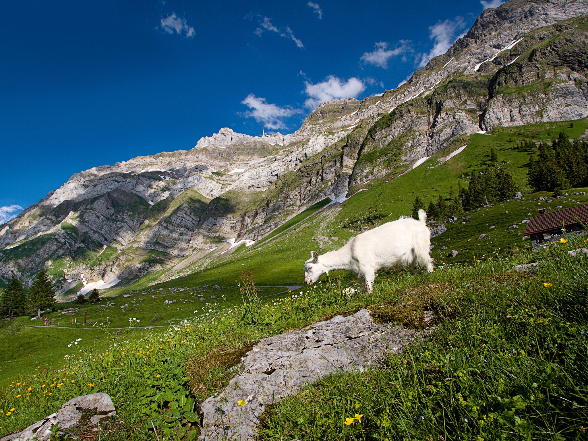
When the mountain awakens – spring hikes around the Schwägalp
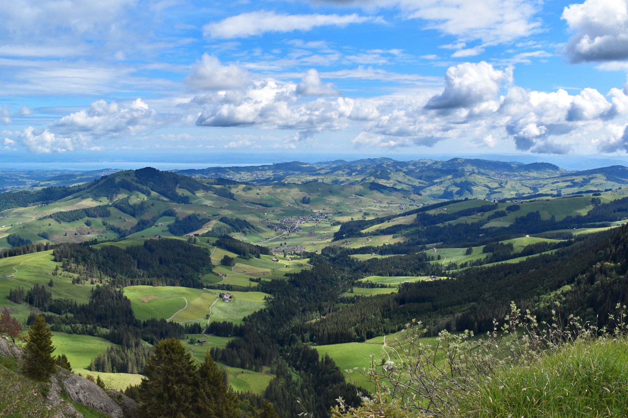
Appenzeller Weg – pilgrimage routes from Austria to Switzerland
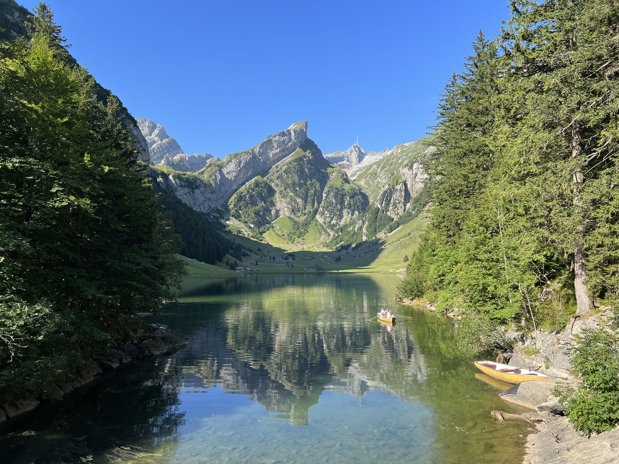
Exciting day hikes in Switzerland’s Alpstein
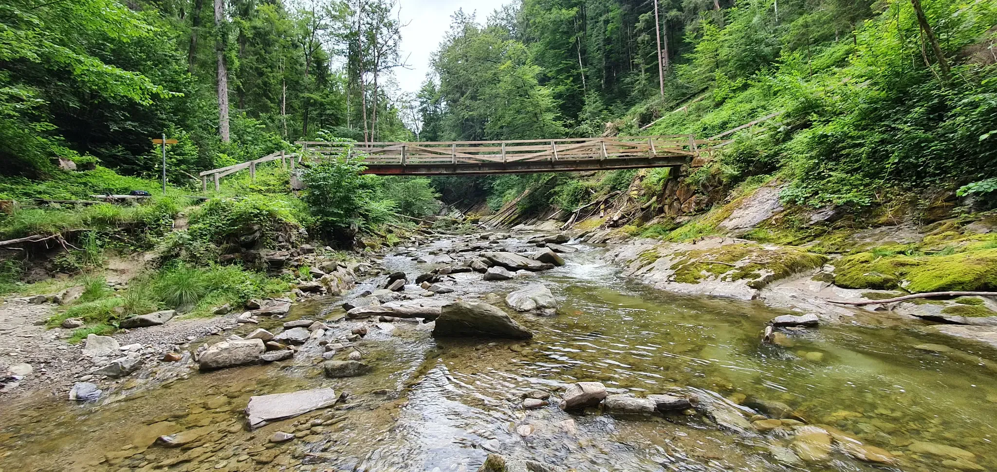
Cultural Trail Appenzellerland - Hiking between Lake Constance and Alpstein
The Herzroute – Cycling through the heart of Switzerland

Lake and Alps Adventure – explore 100 dreamy places in our cycling region!
Lake and Alps Main Route – Your Path To Adventure!
Other adventures in Hinterland


Tips from the Community

Toggenburg Ride-Sharing Benches Sit down. Ride along. Experience it. The ride-sharing benches are a defining feature of the Toggenburg landscape. These attractive wooden benches have been installed along several test routes in the four municipalities of Ebnat-Kappel, Kirchberg, Nesslau, and Wildhaus-Alt St. Johann: in Nesslau on the route via Laad to Stein, on the road from Unterwasser via Schwendi to Wildhaus, in Ebnat-Kappel from the train station towards Hüsliberg and towards Blomberg, and from Kirchberg to Dietschwil. The exact routes and bench locations are shown on the map. So, nothing stands in the way of this modern and convenient way of hitchhiking. Since April 22, 2022 Text / Source: energietal toggenburg, Bahnhofstrasse 1, Wattwil https://energietal-toggenburg.ch/projekte/mobilitaet/mitfahrbaenkli-toggenburg/ https://www.energie2030.ch/event/eroeffnung-mitfahrbaenkli/
15
0

Unfortunately, none! The Thur Falls here in August were completely dry.
0
0

When we were there, the church was closed, meaning the main door was open, but the inner door was closed. However, you could still see inside through the glass.
0
0

Wonderful view when visibility is good.
0
0

The path climbs steeply on both sides, but it's well maintained.
1
0

Great view, just take your time and discover new things.
8
0

In good weather, magnificent panoramic views.
2
0

The view is varied, from the Rhine Valley to the varied rock and peak formations of the southern Alpstein massif. Easily accessible in a pleasant one-hour mountain hike, or with the Gamplüt Bahn. It's worth it, the peace and the varied options, definitely something for everyone.
1
0
Frequently Asked Questions
How many waterfall hiking trails are available in Hinterland?
The Hinterland region offers a wide selection of waterfall hiking trails, with over 38 routes specifically featuring waterfalls. These range from easy strolls to more challenging ascents, catering to various fitness levels.
What is the best time of year to visit Hinterland for waterfall hikes?
While the Gold Coast Hinterland (a similar region) is beautiful year-round, the best time to experience waterfalls is typically during or after periods of significant rainfall. This ensures the cascades are at their most impressive. Spring and autumn often offer pleasant hiking temperatures.
Are there any easy waterfall hikes suitable for beginners or families in Hinterland?
Yes, there are several easy options. For a gentle experience, consider the Thur Waterfalls – View of the Thurtal Valley loop from Unterwasser (Iltiosbahn). This 4.4 km trail is rated easy and takes about 1 hour 21 minutes, offering beautiful views of the Thur Waterfalls and the Thurtal Valley.
Are there any circular waterfall hikes in Hinterland?
Absolutely. Many of the waterfall trails in Hinterland are designed as loops, allowing you to start and end at the same point. An excellent moderate option is the View of the Churfirsten – Thur Waterfalls loop from Wildhaus, which is 9 km long and offers views of the Churfirsten mountain range and the Thur Waterfalls.
What kind of terrain can I expect on waterfall hikes in Hinterland?
Hinterland's waterfall hikes traverse diverse terrain, from alpine foothills and deep valleys to forested slopes. You can expect varied elevation changes, including gentle paths along valleys and more challenging ascents, all while enjoying the natural beauty of the region's water features.
What do other hikers say about the waterfall trails in Hinterland?
The komoot community highly rates the waterfall trails in Hinterland, with an average score of 4.7 stars from over 2800 reviews. Hikers often praise the stunning natural beauty, the impressive waterfalls, and the well-maintained paths that make for an enjoyable experience.
Are there any challenging waterfall hikes for experienced hikers in Hinterland?
Yes, for those seeking a more demanding experience, Hinterland offers several challenging routes. While specific 'difficult' waterfall routes aren't highlighted here, the region has 6 difficult trails in total. These often involve significant elevation changes and longer distances, providing a rewarding adventure.
What are some notable natural features or landmarks to look out for on these trails?
Beyond the waterfalls themselves, you can explore several natural landmarks. The Säntis Summit (2,502 m) offers breathtaking panoramic views, and the Girenspitz is another prominent peak. You might also encounter the Himmelsleiter (Säntis Summit Ascent), a unique climbing feature.
Are there places to eat or rest near the waterfall hiking trails?
Yes, you'll find options for refreshments and rest. For instance, the Restaurant at Hundwiler Höhi and the Hochhamm Mountain Restaurant are popular spots where hikers can enjoy a meal or a break. These are often located conveniently near trailheads or scenic points.
Is public transport available to reach waterfall hiking trailheads in Hinterland?
While specific public transport details for each trailhead vary, regions like the Gold Coast Hinterland often have bus services connecting to major national parks and popular hiking areas. It's advisable to check local transport schedules for the specific starting point of your chosen waterfall hike.
Are there any trails that offer views of the wider landscape in addition to waterfalls?
Many trails combine waterfall viewing with expansive vistas. For example, the From Schönengrund over the Hochhamm route not only features waterfalls but also provides stunning views over the Hochhamm hill. Similarly, the View of the Alpstein Mountains – View of the Churfirsten loop from Wildhaus offers panoramic views of both mountain ranges.
Most popular routes in Hinterland
Most popular attractions in Hinterland

Get inspired with the komoot mobile app


Didn’t find what you were looking for?
Check out more Hikes throughout Hinterland below and find the perfect route in your destination.
Explore more
Browse the best Hikes in other regions.
