The best hikes from bus stations around Bühlertann
4.6
(2731)
10,608
hikers
66
hikes
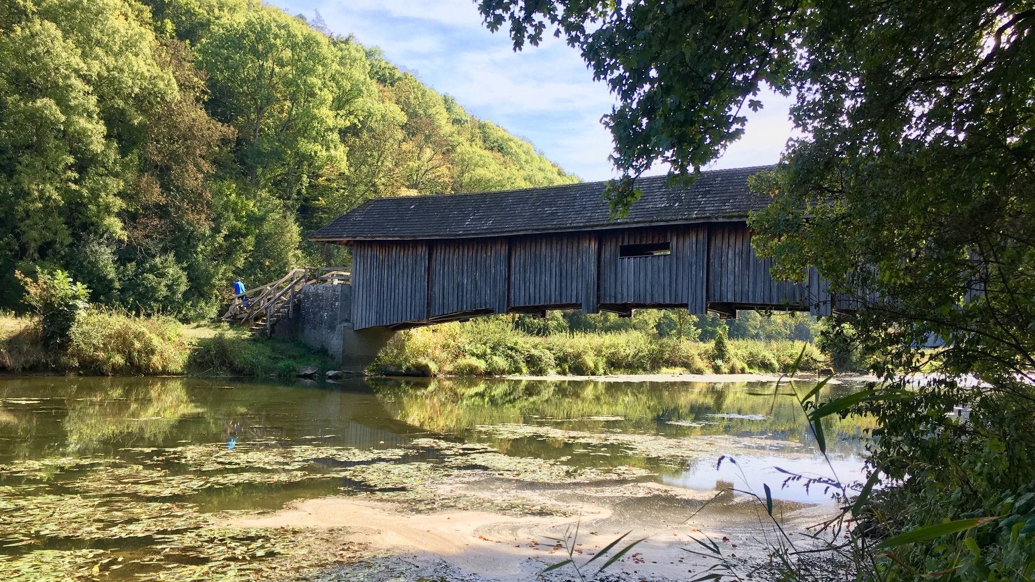
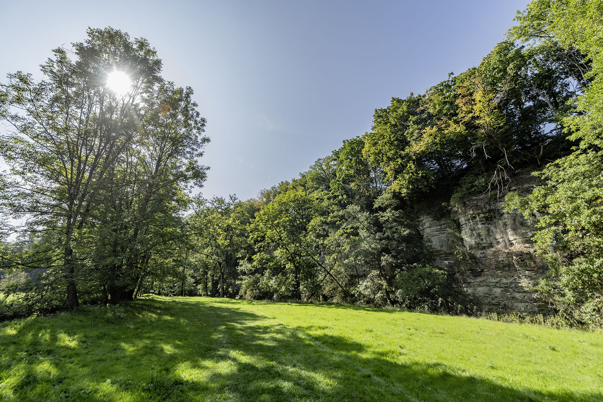
Bus station hiking trails around Bühlertann are set within a diverse landscape at the edge of the Swabian-Franconian Forest Nature Park. The region is characterized by extensive forests, the tranquil Bühler River valley, and rolling hills dotted with orchards. Situated between the Limpurg and Ellwangen Mountains, the area offers varied elevations and terrain. The Bühler River traverses the municipality, contributing to one of the most unspoiled valleys in northern Baden-Württemberg.
Best bus station hiking trails around Bühlertann
- The most popular…
Last updated: October 28, 2026
4.4
(22)
64
hikers
Hard hike. Very good fitness required. Easily walkable paths.
4.4
(10)
34
hikers
12.2km
03:19
170m
170m
Moderate hike. Good fitness required. Easily walkable paths.

4.9
(7)
26
hikers
13.6km
03:46
220m
220m
Moderate hike. Good fitness required. Mostly walkable paths. Sure-footedness required.
5.0
(7)
22
hikers
Easy hike. Easily walkable paths.
4.4
(5)
12
hikers
8.23km
02:12
90m
90m
Moderate hike. Good fitness required. Easily walkable paths.
Get access to more routes and recommendations from other explorers.
Already have an account?
Our route recommendations are based on thousands of hikes, rides, and runs completed by other people on komoot.
Start today with a free account
Your next adventure awaits.

Other adventures around Bühlertann


Tips from the Community

The Protestant church in Obersontheim was built between 1585 and 1586 by Count Friedrich VII. von Limpurg. At that time, Obersontheim was the ancestral seat of the Counts of Limpurg. The church was also the burial place of the Counts of Limpurg, who were interred in Großcomburg Monastery before the change of confession. On the night of December 8th to 9th, 1967, a fire broke out on the gallery, necessitating subsequent renovation.
0
0
The chapel of St. Gangolf was built in 1500 as a fortified church of the Prince-Provostry of Ellwangen. The tower is of earlier date and dates from the 13th century. It is designed very defensively with battlements and has a historical bell from 1496.
0
0

There is a youth hostel in the castle
3
0

There's an old pear tree here, along with an information board where you can learn more about pear cider. A bench invites you to linger and enjoy the view of Bühlerzell.
0
0

Great, but it goes a bit up the hill.
1
0

Great view from Tannenburg Castle. Beautiful courtyard and a lovely place for a rest.
4
0


A wonderful piece of land, just as you would imagine it on holiday, right on your doorstep.
0
0
Frequently Asked Questions
How many bus-accessible hiking trails are available around Bühlertann?
There are over 60 hiking routes around Bühlertann that are easily accessible by bus. These trails cater to various fitness levels, with 36 easy, 29 moderate, and 4 difficult options.
What kind of landscapes can I expect on bus-accessible hikes in Bühlertann?
Hikes around Bühlertann offer a diverse landscape, from the quiet forests and idyllic valleys of the Swabian-Franconian Forest Nature Park to the pleasant banks of the Bühler River. You'll also encounter rolling hills, expansive meadows, and charming orchards, characteristic of the Hohenlohe region.
Are there any easy, short hikes from a bus stop in Bühlertann?
Yes, for an easy and relatively short walk, consider the Greeting Barrels in Bühlertann – View of Tannenburg loop from Bühlertann. This route is approximately 3.6 km long with minimal elevation gain, perfect for a relaxed outing.
What are some notable landmarks or viewpoints accessible on these trails?
Many trails offer access to interesting sights. You can hike to the historic Tannenburg Castle, or enjoy panoramic views from the Altenberg Tower, which offers magnificent vistas of the surrounding mountains and plains. The Burgberg Tower is another excellent viewpoint.
Are there any circular routes starting from a bus station?
Yes, many routes are circular, allowing you to return to your starting point. An example is the Galgenberg – View of Bühlertann loop from Bühlertann, a moderate 7.9 km hike that offers scenic views of the town.
Can I find longer, more challenging hikes accessible by bus?
For a more challenging experience, the Werksteinbruch Hut – Geifertshofen Village Cheese Dairy loop from Burg Holenstein is a difficult, nearly 27 km route with significant elevation changes, offering a full day's adventure through varied terrain.
What do other hikers say about the trails around Bühlertann?
The komoot community highly rates the hiking trails around Bühlertann, with an average score of 4.6 out of 5 stars from over 2,400 reviews. Hikers often praise the quiet woodlands, the unspoiled beauty of the Bühler Valley, and the well-maintained paths.
Are there any lakes or water features along the bus-accessible hiking routes?
Yes, the region features several beautiful water bodies. The Orrotsee is a pleasant bathing lake that can be incorporated into hikes, and the Lake Hammerschmiede also offers scenic paths.
Are there any historical sites or old towns I can visit while hiking?
Absolutely. The region is rich in history. You can explore the charming Vellberg Old Town or the Gaildorf — Old Town and Castle, which are accessible from various hiking routes.
What is a moderate hike I can take from a bus stop in Bühlertann?
A good moderate option is the Obersontheim Castle – Galgenberg loop from Bühlertann. This 12.1 km route offers a balanced challenge with rewarding views and passes by the historic Obersontheim Castle.
When is the best time of year to hike around Bühlertann?
Bühlertann is enjoyable year-round, but spring and autumn are particularly beautiful. Spring brings blooming orchards and fresh greenery, while autumn offers vibrant foliage. Summer is ideal for enjoying the lakes, and even winter can be magical for quiet walks through snow-dusted forests.
Most popular routes around Bühlertann
Most popular attractions around Bühlertann

Get inspired with the komoot mobile app


Explore more
Browse the best Hikes in other regions.
