The best walks and hikes around Bühlertann
4.6
(2702)
10,401
hikers
81
hikes
Hiking around Bühlertann offers a diverse landscape characterized by rolling hills, dense woodlands, and river valleys. The region features varied terrain, including gentle paths suitable for beginners and more challenging ascents. Historical sites, such as castles and local landmarks, are often integrated into the hiking trails, providing points of interest along the way.
Best hiking trails around Bühlertann
- The most popular hiking route is Greeting Barrels in Bühlertann – View of Tannenburg loop from Bühlertann, a 2.2 miles (3.6…
Last updated: November 1, 2026
4.4
(22)
64
hikers
Hard hike. Very good fitness required. Easily walkable paths.
4.4
(10)
34
hikers
12.2km
03:19
170m
170m
Moderate hike. Good fitness required. Easily walkable paths.

4.9
(7)
26
hikers
13.6km
03:46
220m
220m
Moderate hike. Good fitness required. Mostly walkable paths. Sure-footedness required.
5.0
(7)
22
hikers
Easy hike. Easily walkable paths.
4.4
(5)
12
hikers
8.23km
02:12
90m
90m
Moderate hike. Good fitness required. Easily walkable paths.
Get access to more routes and recommendations from other explorers.
Already have an account?
Our route recommendations are based on thousands of hikes, rides, and runs completed by other people on komoot.
Start today with a free account
Your next adventure awaits.
Popular around Bühlertann

Beautiful day Tours along the Tauber, Kocher, Jagst and Neckar rivers
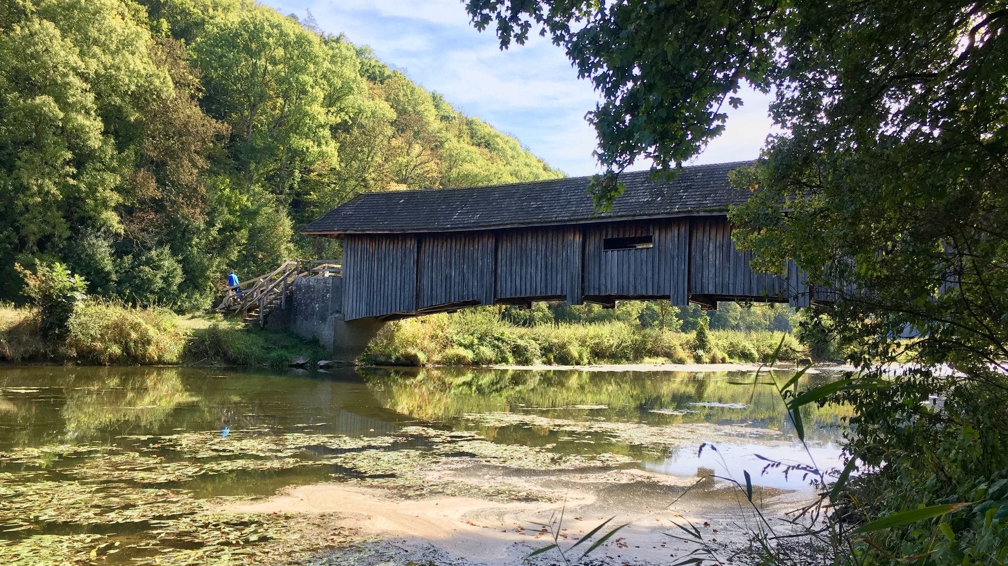
Kocher-Jagst-Trail – Naturerlebnis und Kulturgenuss im Herzen Hohenlohes
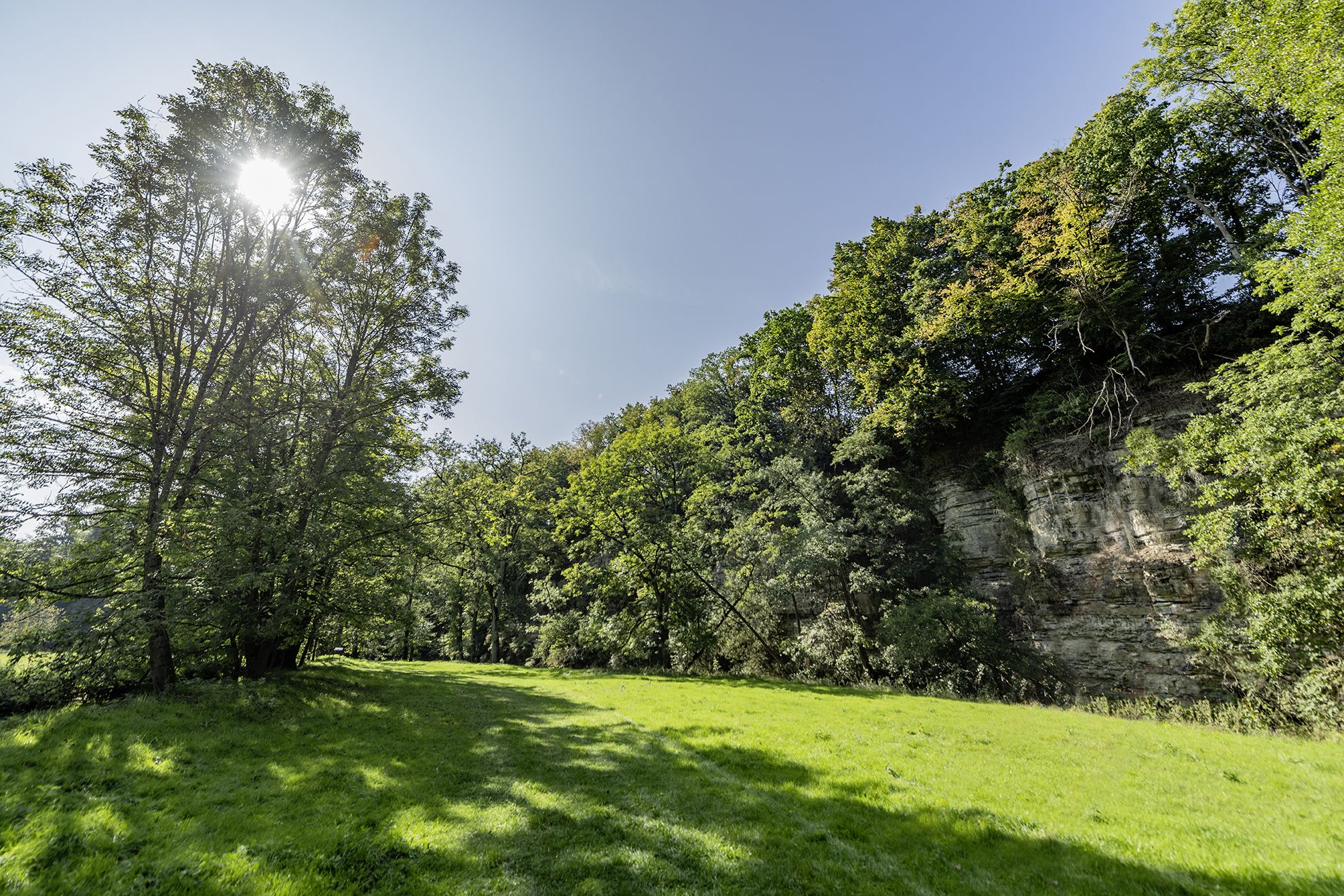
Wandern im Hohenloher Bühlertal – Auf Entdeckerpfaden durchs Naturidyll
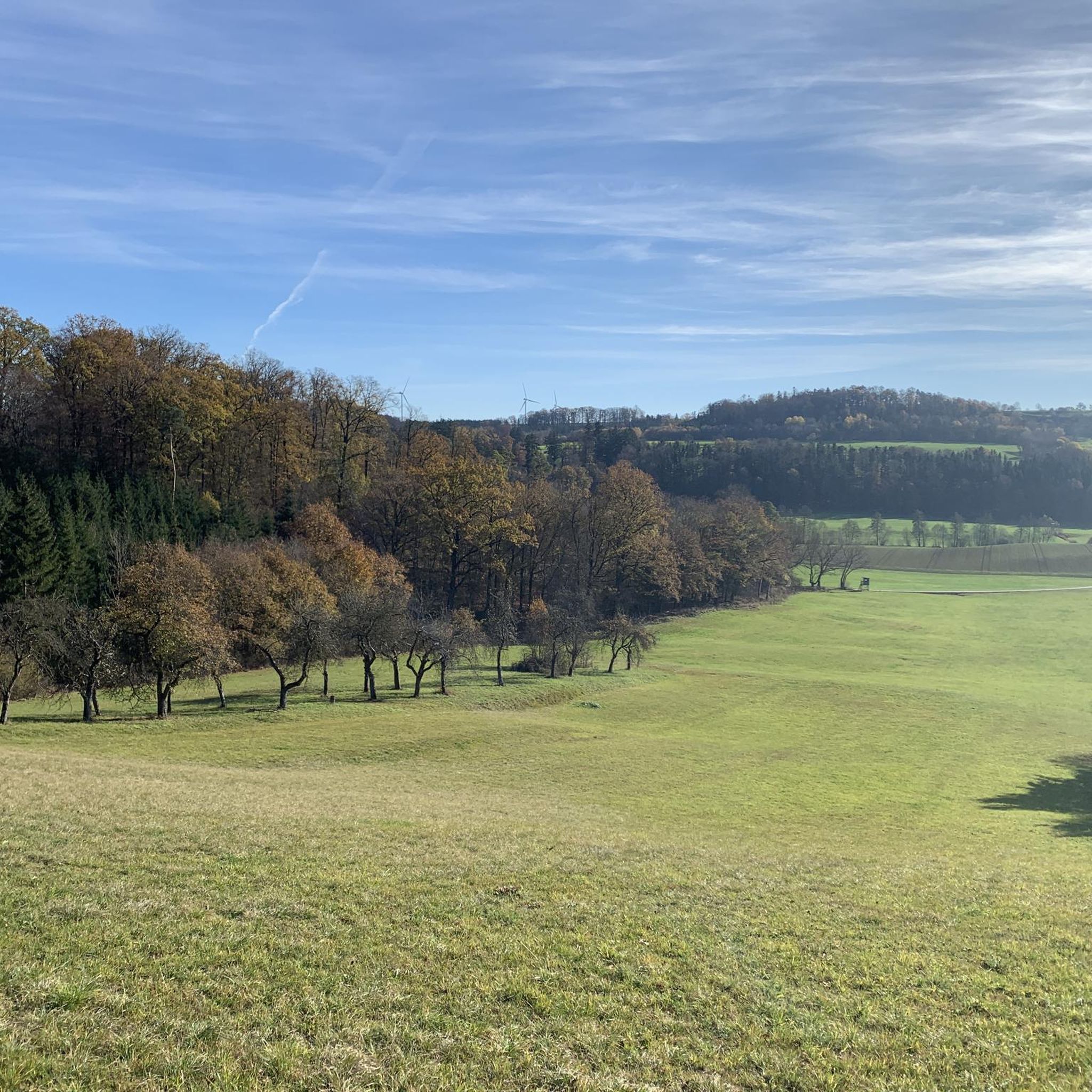
Cycling around Bühlertann
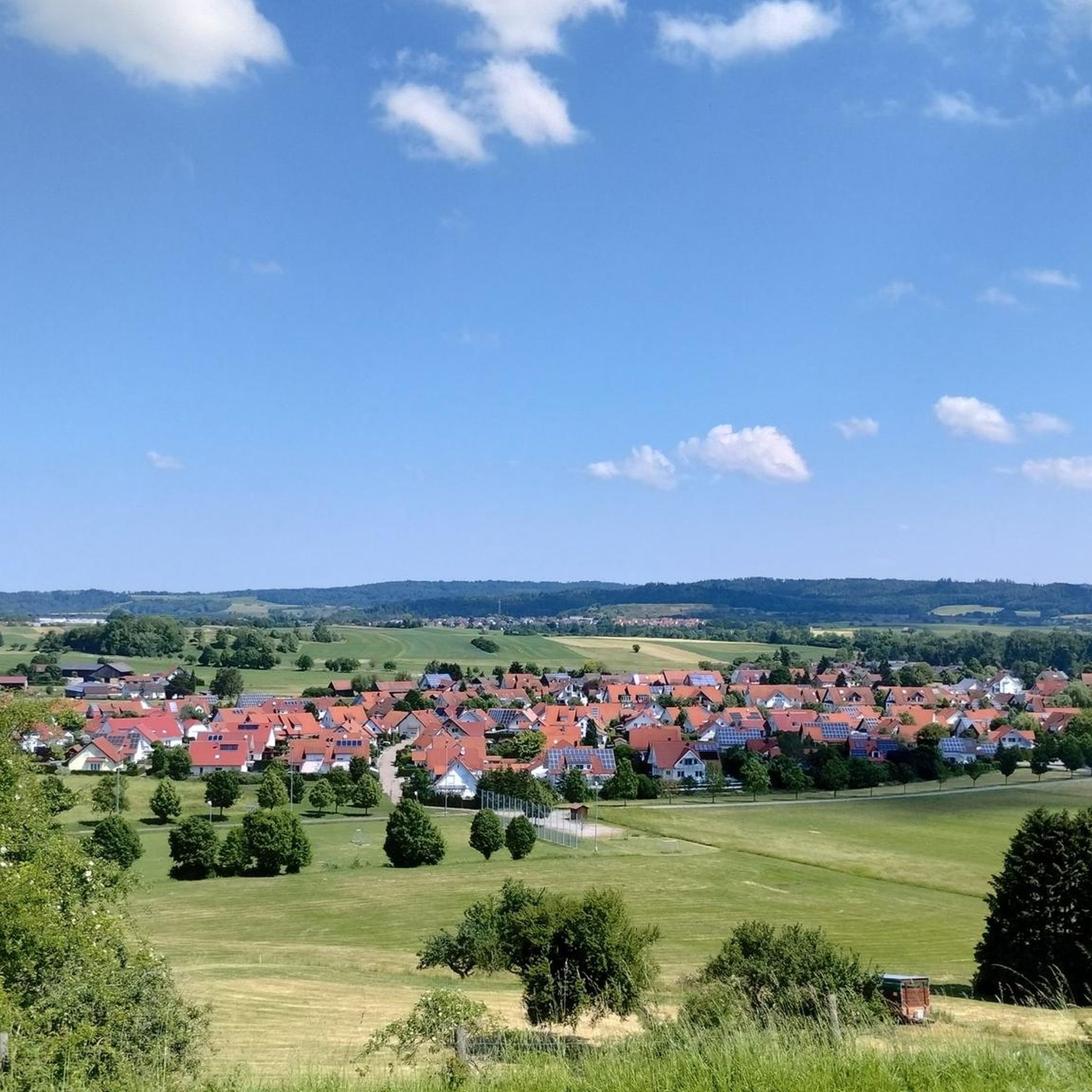
MTB Trails around Bühlertann
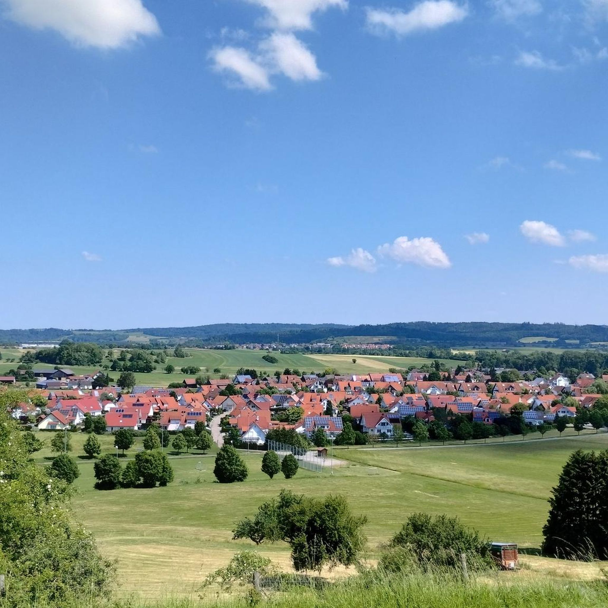
Road Cycling Routes around Bühlertann
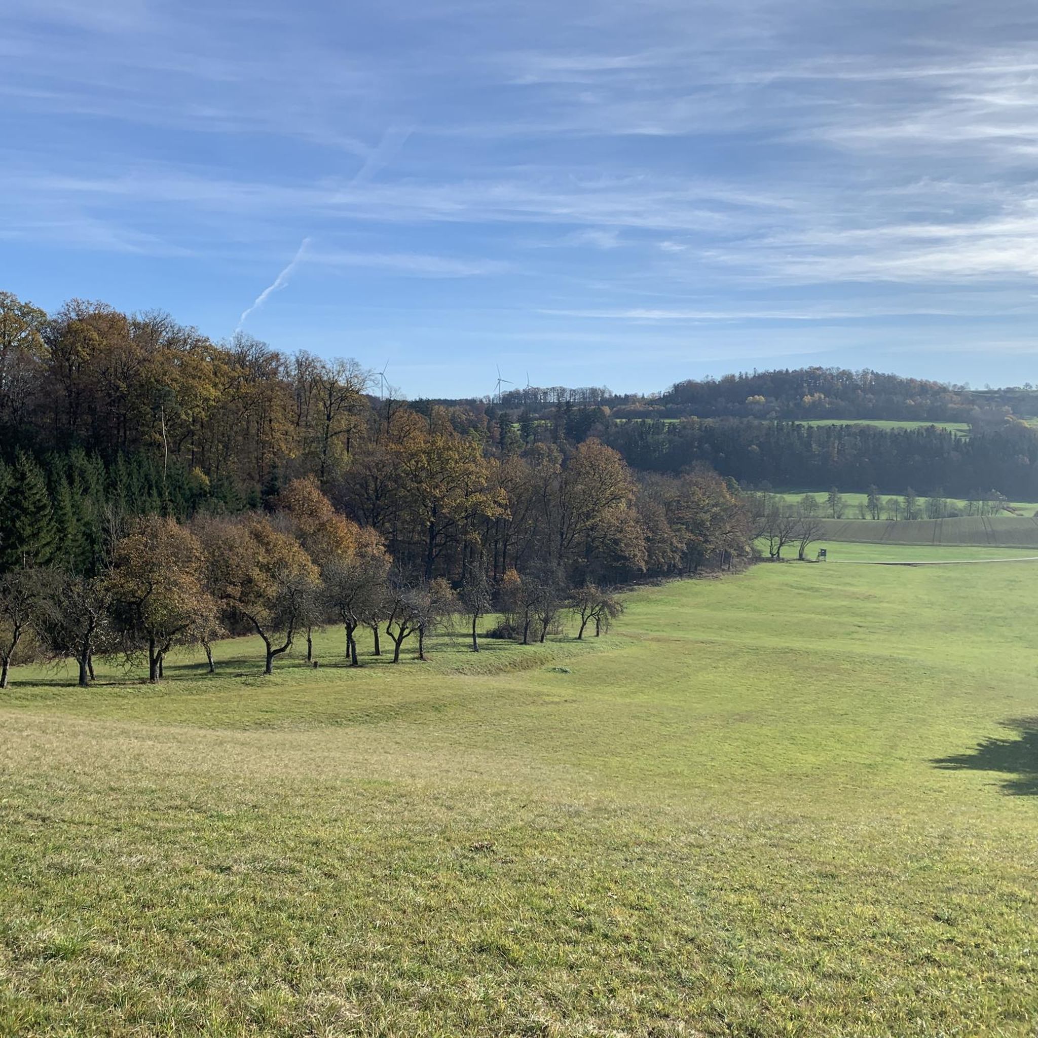
Running Trails around Bühlertann
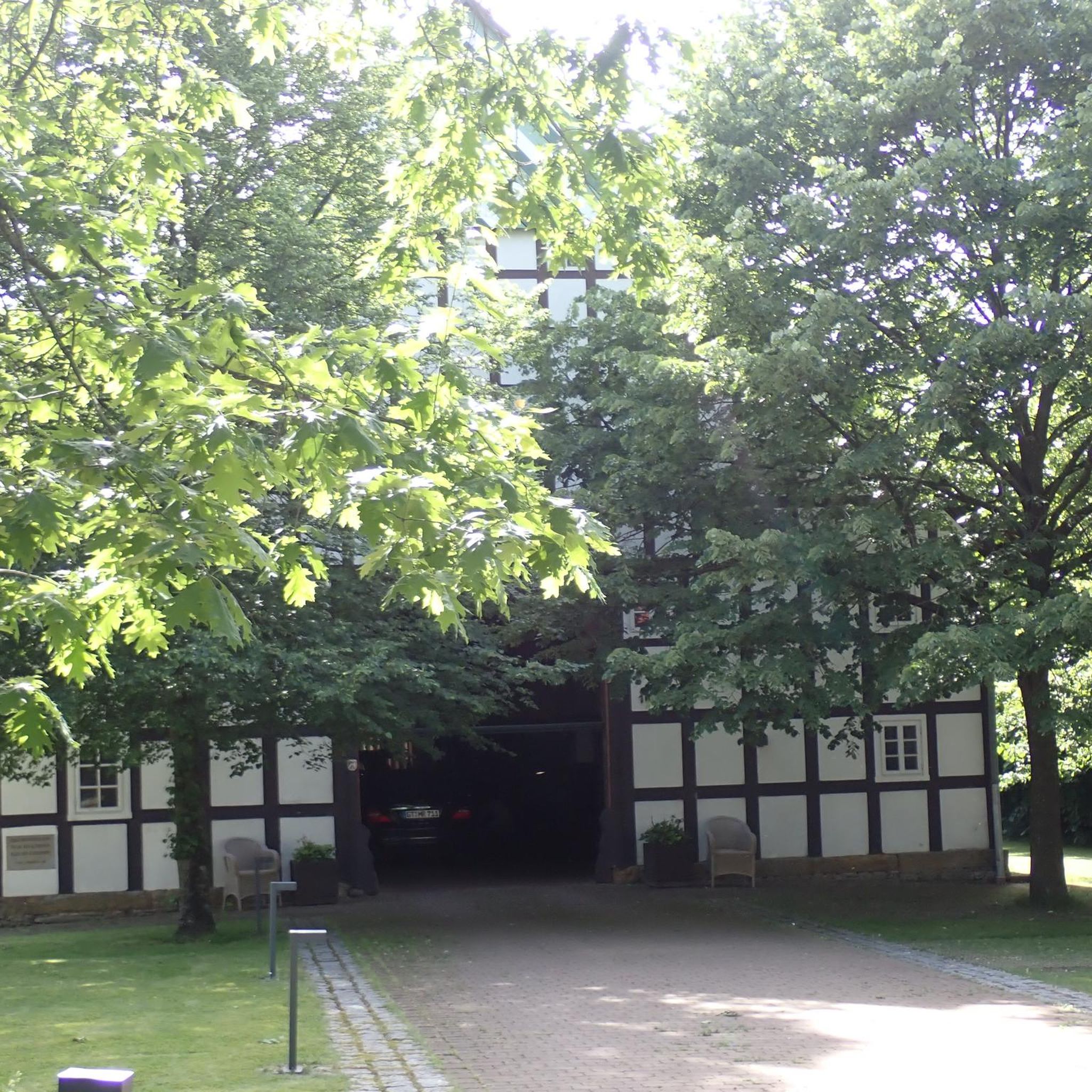
Gravel biking around Bühlertann
Other adventures around Bühlertann


Tips from the Community

The Protestant church in Obersontheim was built between 1585 and 1586 by Count Friedrich VII. von Limpurg. At that time, Obersontheim was the ancestral seat of the Counts of Limpurg. The church was also the burial place of the Counts of Limpurg, who were interred in Großcomburg Monastery before the change of confession. On the night of December 8th to 9th, 1967, a fire broke out on the gallery, necessitating subsequent renovation.
0
0
The chapel of St. Gangolf was built in 1500 as a fortified church of the Prince-Provostry of Ellwangen. The tower is of earlier date and dates from the 13th century. It is designed very defensively with battlements and has a historical bell from 1496.
0
0

There is a youth hostel in the castle
3
0

There's an old pear tree here, along with an information board where you can learn more about pear cider. A bench invites you to linger and enjoy the view of Bühlerzell.
0
0

Great, but it goes a bit up the hill.
1
0

Great view from Tannenburg Castle. Beautiful courtyard and a lovely place for a rest.
4
0


A wonderful piece of land, just as you would imagine it on holiday, right on your doorstep.
0
0
Frequently Asked Questions
How many hiking trails are available around Bühlertann?
There are over 70 hiking routes around Bühlertann listed on komoot, offering a wide range of options from easy strolls to more challenging day hikes. The region features a mix of forested paths, gentle hills, and historical landmarks.
Are there easy hiking trails suitable for beginners or families in Bühlertann?
Yes, Bühlertann offers many easy trails perfect for beginners or families. Nearly 50 of the routes are classified as easy. For a pleasant, shorter option, consider the Galgenberg – View of Bühlertann loop from Bühlertann, which is a moderate 7.9 km path with gentle ascents and scenic views.
What kind of natural attractions or landmarks can I see while hiking in Bühlertann?
Hiking around Bühlertann allows you to discover various natural and historical landmarks. You can find impressive viewpoints like the Altenberg Tower or the Burgberg Tower. Historical sites such as Tannenburg Castle are also integrated into many trails, providing points of interest along the way. Additionally, there are natural monuments like the Orrotsee and the “Gründische” fountain to explore.
Are there any long-distance or more challenging hikes in the area?
For those seeking a longer and more challenging experience, Bühlertann does offer some demanding routes. One such option is the Werksteinbruch Hut – Geifertshofen Village Cheese Dairy loop from Burg Holenstein, which is a difficult 26.9 km trail with significant elevation gain, typically taking over 7 hours to complete.
What is the best time of year to go hiking in Bühlertann?
The best time to hike in Bühlertann is generally from spring through autumn (April to October). During these months, the weather is usually mild and pleasant, making it ideal for exploring the region's diverse landscapes. The dense woodlands offer shade in summer, and autumn brings beautiful foliage.
Are the hiking trails in Bühlertann suitable for dogs?
Many of the hiking trails around Bühlertann are dog-friendly, allowing you to enjoy the natural surroundings with your canine companion. It's always recommended to keep dogs on a leash, especially in forested areas or near wildlife, and to carry water for them. Check specific route details on komoot for any restrictions.
Are there circular hiking routes available in Bühlertann?
Yes, Bühlertann features numerous circular hiking routes, which are popular for their convenience as they start and end at the same point. Many of the trails, including those exploring historical sites and viewpoints, are designed as loops, allowing you to experience varied scenery without retracing your steps.
Where can I find parking for hiking trails in Bühlertann?
Parking for hiking trails in Bühlertann is typically available at trailheads, near local attractions, or in village centers. Many routes start from easily accessible points within or just outside Bühlertann, where designated parking areas are often provided. It's advisable to check the starting point of your chosen route on komoot for specific parking information.
What do other hikers say about the trails in Bühlertann?
The hiking trails in Bühlertann are highly regarded by the komoot community, with an average rating of 4.7 stars from over 100 reviews. Hikers often praise the well-maintained paths, the scenic variety of rolling hills and woodlands, and the integration of historical landmarks, making for a rewarding outdoor experience.
Can I reach hiking trails in Bühlertann using public transport?
While Bühlertann is primarily accessed by car, some public transport options may connect to the village or nearby areas. For specific routes, it's best to check local bus schedules or regional transport links to see if they align with your chosen trailhead. Planning your journey in advance is recommended.
Are there any cafes or places to eat near the hiking trails?
Bühlertann and its surrounding villages offer local eateries and cafes where you can refresh before or after your hike. While not directly on every trail, many routes pass through or near these communities, providing opportunities for a break and a meal. It's a good idea to check opening hours, especially in smaller villages.
Most popular routes around Bühlertann
Most popular attractions around Bühlertann

Get inspired with the komoot mobile app


Explore more
Browse the best Hikes in other regions.
