The best road cycling routes around Bühlertann
4.6
(115)
1,501
riders
19
rides
Road cycling around Bühlertann offers routes through the Swabian-Franconian Forest Nature Park, characterized by meadows, fields, and rolling hills. The Bühler River flows through the municipality, providing scenic routes along its banks, often on paved surfaces. The region's terrain includes the Ellwanger Berge, which introduce ascents and descents for varied cycling experiences.
Best road cycling routes around Bühlertann
- The most popular road cycling route is Scenic Road in Bühleral loop from Bühlertann, a 19.3 miles (31.1 km) trail that…
Last updated: October 7, 2026
4.6
(7)
40
riders
Easy road ride. Great for any fitness level. Mostly well-paved surfaces and easy to ride.
4.5
(4)
81
riders
41.6km
01:46
340m
340m
Moderate road ride. Good fitness required. Mostly well-paved surfaces and easy to ride.

9
riders
35.1km
01:43
380m
380m
Moderate road ride. Good fitness required. Mostly well-paved surfaces and easy to ride.
12
riders
Easy road ride. Great for any fitness level. Mostly well-paved surfaces and easy to ride.
6
riders
50.3km
02:23
470m
470m
Moderate road ride. Good fitness required. Some segments of this route may be unpaved and difficult to ride.
Get access to more routes and recommendations from other explorers.
Already have an account?
Our route recommendations are based on thousands of hikes, rides, and runs completed by other people on komoot.
Start today with a free account
Your next adventure awaits.
Popular around Bühlertann
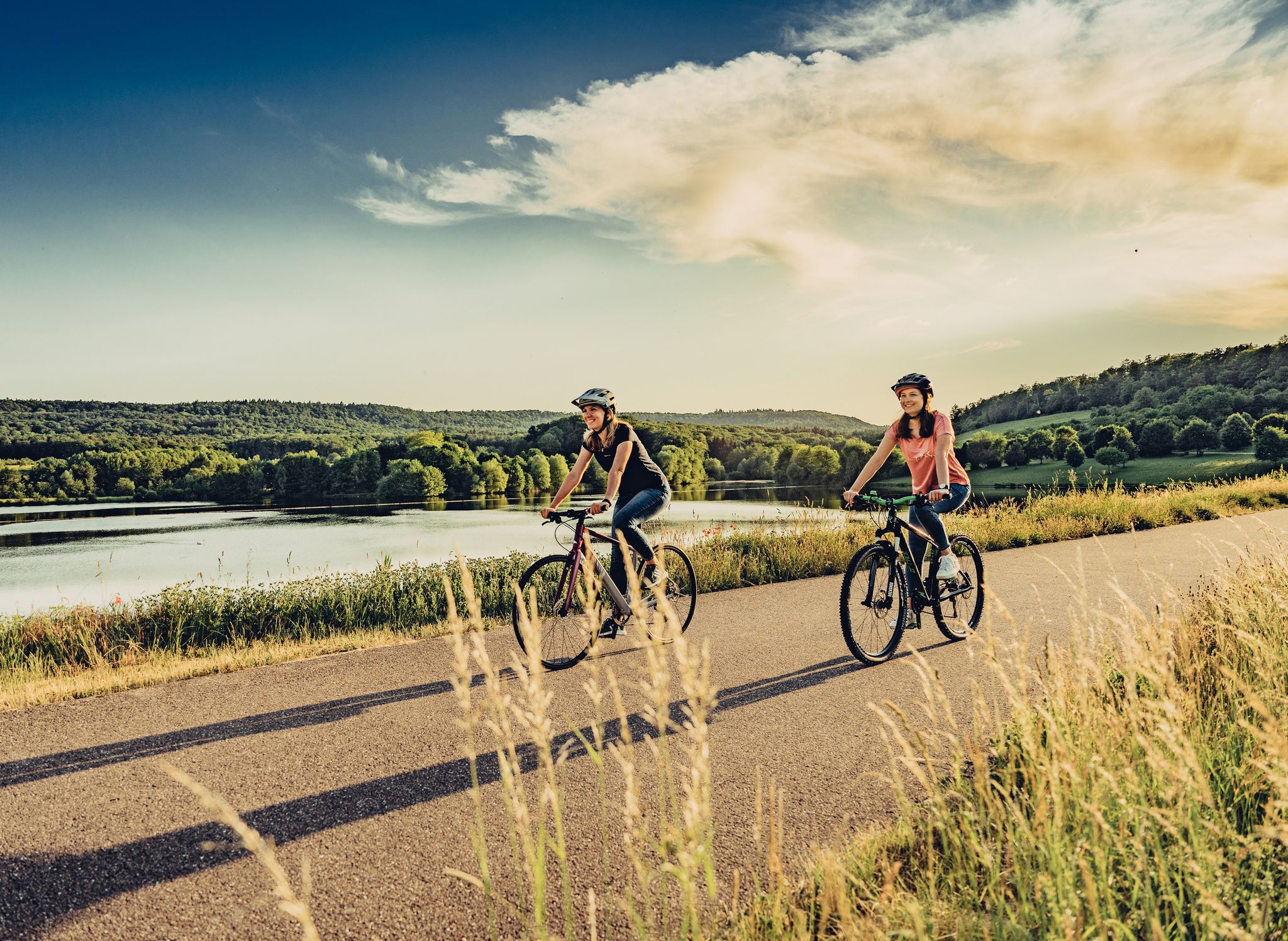
Beautiful day Tours along the Tauber, Kocher, Jagst and Neckar rivers
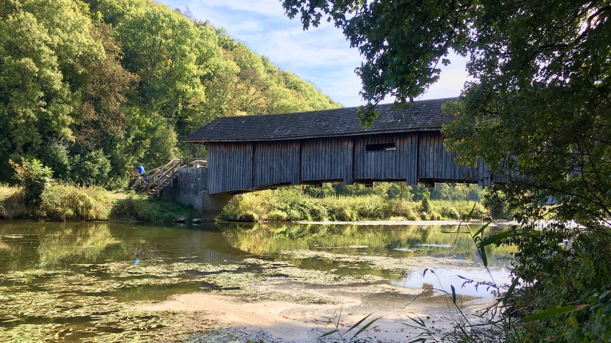
Kocher-Jagst-Trail – Naturerlebnis und Kulturgenuss im Herzen Hohenlohes
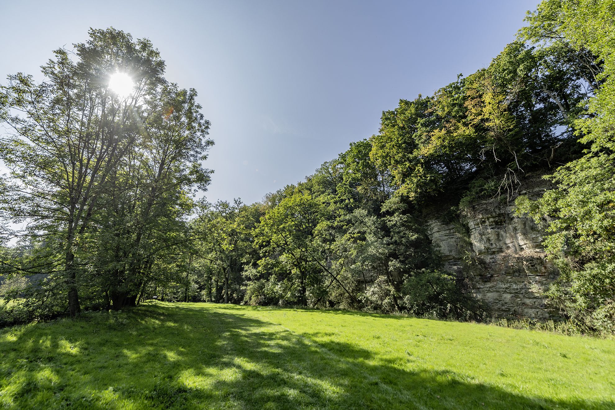
Wandern im Hohenloher Bühlertal – Auf Entdeckerpfaden durchs Naturidyll
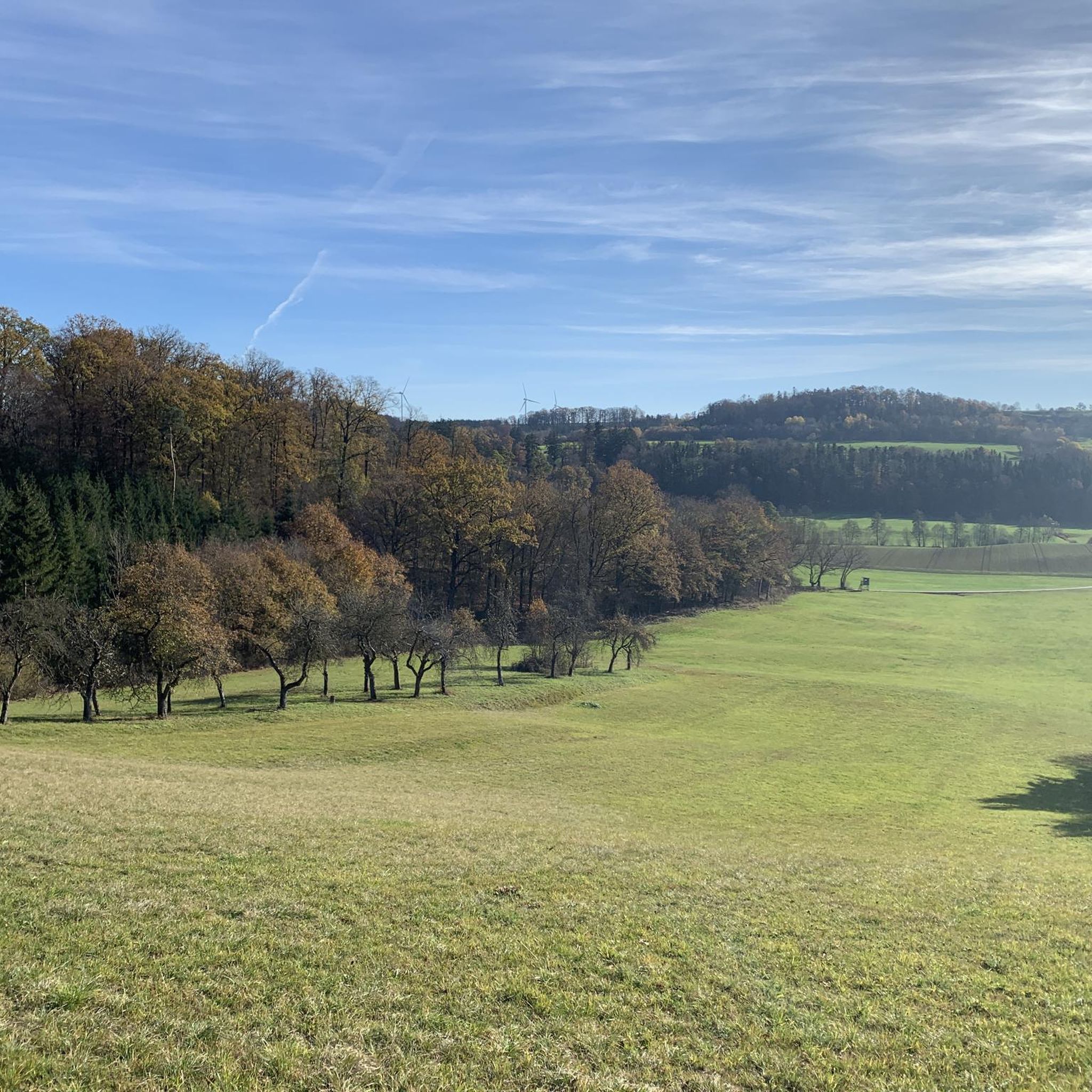
Cycling around Bühlertann
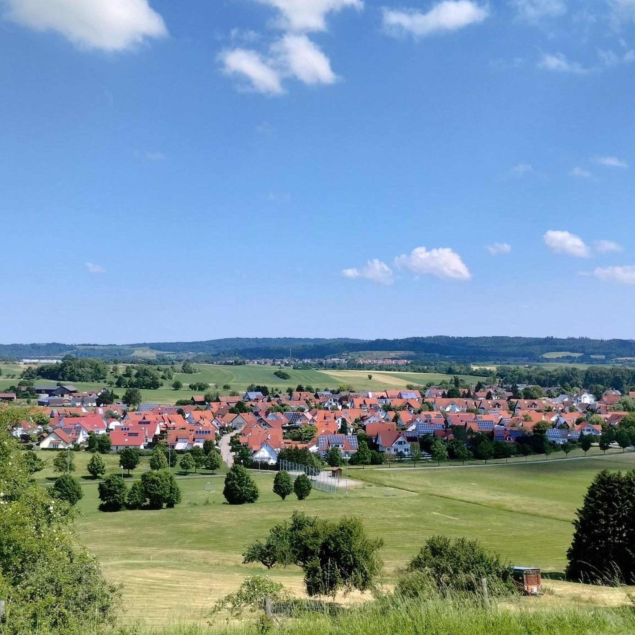
Hiking around Bühlertann
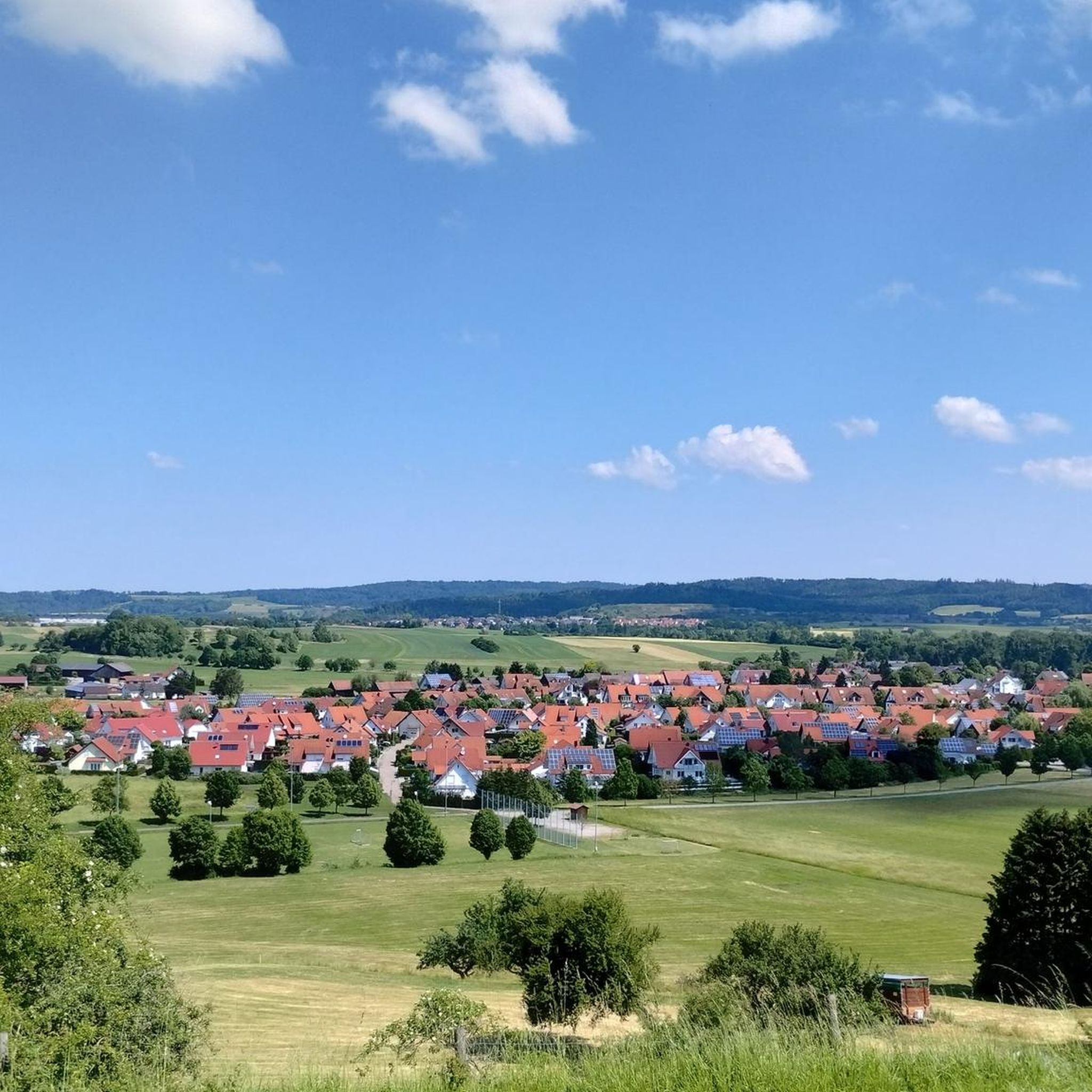
MTB Trails around Bühlertann
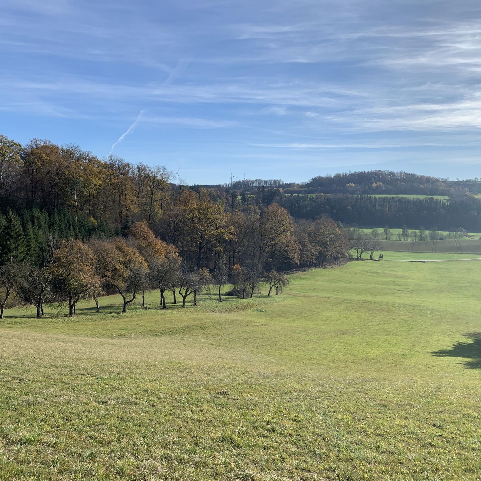
Running Trails around Bühlertann
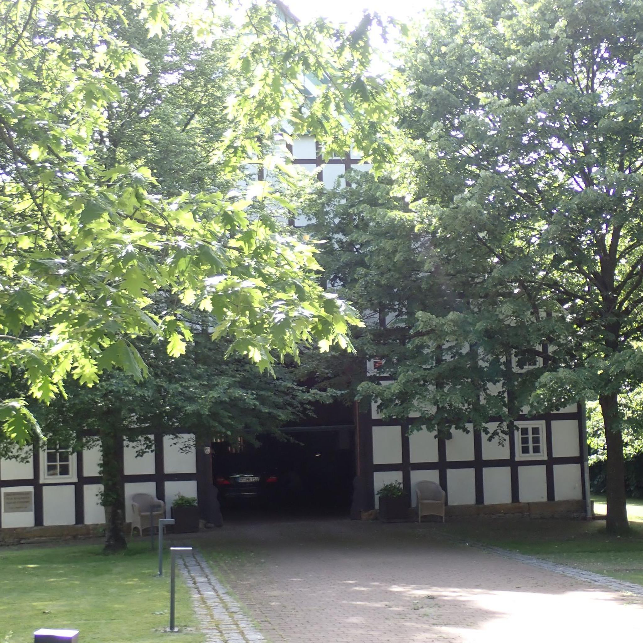
Gravel biking around Bühlertann
Other adventures around Bühlertann


Tips from the Community

🌊 The Betzenweiher is a tranquil, approximately 0.7-hectare mill pond near Hohenberg, belonging to the municipality of Rosenberg (Ostalbkreis district). It lies idyllically near the small hamlet of Betzenhof, about 4 km northwest of the center of Rosenberg.
1
1
🌳 The "High Tree" The term "high tree" often refers to a prominent landmark – usually a particularly old or tall tree (often a linden or oak) that was visible from afar and served as a guide for travelers. Combined with the signpost, it formed a fixed point of reference in the landscape.
2
0
🗺️ The historical signpost at Dollhof Hochbaum is a fascinating relic from the time before digital navigation and a real highlight for local historians in the Hohenberg/Rosenberg region.
2
0

Beautiful view of the Kocher Valley towards Westheim
1
0


Here there is an ancient sawmill powered by water power
3
0


Great view to Grünberg over the Jagst valley
4
0
Frequently Asked Questions
What kind of terrain can I expect on road cycling routes around Bühlertann?
Road cycling around Bühlertann offers a diverse landscape. You'll find routes through the picturesque Swabian-Franconian Forest Nature Park, characterized by meadows, fields, and rolling hills. The Bühler River provides scenic, often paved, routes along its banks. For more challenging rides, the nearby Ellwanger Berge introduce ascents and descents.
Are there road cycling routes suitable for beginners or more challenging climbs?
Yes, Bühlertann caters to various fitness levels. You can find easy routes, such as the Scenic Road in Bühleral loop from Bühlertann, which follows the river. For those seeking more challenge, routes like the Einkorn Climb – Hinterruhlberg Chapel loop from Bühlertann feature significant ascents through varied terrain.
What natural features will I encounter on road cycling routes in Bühlertann?
The region is rich in natural beauty. You'll cycle through the extensive forests of the Swabian-Franconian Forest Nature Park, along the tranquil Bühler River Valley, and experience wide panoramic views across the Hohenlohe region. Some routes also traverse the wooded ridge of the Limpurg Mountains and pass through nature reserves.
Are there any scenic viewpoints or landmarks to see along the routes?
Absolutely. While cycling, you can enjoy magnificent panoramic views from places like the Altenberg Tower, offering vistas of the Swabian Alb and Hohenlohe plains. Other notable spots include the Einkorn, known as Schwäbisch Hall's local mountain, and the historic Tannenburg Castle.
Are there many circular road cycling routes available?
Yes, Bühlertann offers a good selection of circular road cycling routes. Many routes are designed as loops, allowing you to start and end in the same location. Examples include the Einkorn Climb – Geifertshofen Village Cheese Dairy loop from Bühlertann and the View of Tannenburg – Geifertshofen Village Cheese Dairy loop from Bühlertann.
How long do road cycling routes typically take around Bühlertann?
Route durations vary depending on distance and elevation. Shorter, easier routes like the Scenic Road in Bühleral loop from Bühlertann can be completed in about 1 hour 20 minutes. Longer, more moderate routes, such as the Einkorn Climb – Hinterruhlberg Chapel loop from Bühlertann, might take around 2 hours 30 minutes or more.
When is the best time of year for road cycling in Bühlertann?
The spring and summer months are generally ideal for road cycling in Bühlertann. During these seasons, the weather is typically pleasant, and the landscapes are vibrant, offering the best conditions to enjoy the region's meadows, forests, and river valleys.
Are there family-friendly road cycling routes in Bühlertann?
While road cycling routes are generally designed for speed and distance, some easier, flatter sections along the Bühler River Valley might be suitable for families with older children who are comfortable on bikes. Always check the route's difficulty and terrain before heading out with family.
Can I bring my dog on road cycling routes around Bühlertann?
Road cycling routes are typically not ideal for dogs due to the pace, traffic, and potential for hot asphalt. If you wish to bring your dog, consider exploring dedicated cycling paths or trails where dogs are permitted and can safely accompany you, perhaps on a leash or in a trailer designed for pets.
What do other road cyclists enjoy the most about road cycling in Bühlertann?
The road cycling routes around Bühlertann are highly rated by the komoot community, with an average score of 4.9 stars. Cyclists often praise the varied terrain, from tranquil river valleys to challenging climbs, and the stunning natural scenery within the Swabian-Franconian Forest Nature Park.
Are there any waterfalls near the road cycling routes in Bühlertann?
Yes, the region around Bühlertann features several beautiful waterfalls. You might consider visiting the Waterfall in Naturpark Schwäbisch-Fränkischer Wald, the Nägelesbach Waterfall, or the Sulzdorf Waterfalls, which offer a refreshing stop or a short detour from your ride.
How many road cycling routes are available in Bühlertann?
There are over 20 road cycling routes around Bühlertann listed on komoot, offering a wide range of options for different distances and difficulty levels, from easy riverside paths to more challenging climbs through the hills.
Most popular routes around Bühlertann
Most popular attractions around Bühlertann

Get inspired with the komoot mobile app


Explore more
Browse the best Road cycling routes in other regions.
