The best city hikes and walks around Landkreis München
4.5
(11637)
114,736
hikers
1,814
hikes
Urban hiking trails around Landkreis München are primarily situated within the Munich Gravel Plain, a geological formation dissected by the Isar River. This region features extensive forest areas such as the Perlacher Forst and Hofoldinger Forst, providing shaded pathways. Numerous lakes like the Ismaninger Speichersee and Hollerner See, along with moor areas, contribute to the diverse natural landscape. The varied terrain offers a range of urban walking experiences.
Best urban hiking trails around Landkreis München
- The most popular urban hiking…
Last updated: October 13, 2026
974m
00:15
10m
0m
Easy hike. Great for any fitness level. Easily-accessible paths. Suitable for all skill levels.
4.6
(39)
547
hikers
Moderate hike. Good fitness required. Easily-accessible paths. Suitable for all skill levels.

4.5
(32)
291
hikers
Moderate hike. Good fitness required. Easily-accessible paths. Suitable for all skill levels.
4.7
(20)
303
hikers
9.19km
02:24
60m
60m
Moderate hike. Good fitness required. Easily-accessible paths. Suitable for all skill levels.
4.7
(42)
537
hikers
Moderate hike. Good fitness required. Easily-accessible paths. Suitable for all skill levels.
Get access to more routes and recommendations from other explorers.
Already have an account?
Our route recommendations are based on thousands of hikes, rides, and runs completed by other people on komoot.
Start today with a free account
Your next adventure awaits.
Popular around Landkreis München
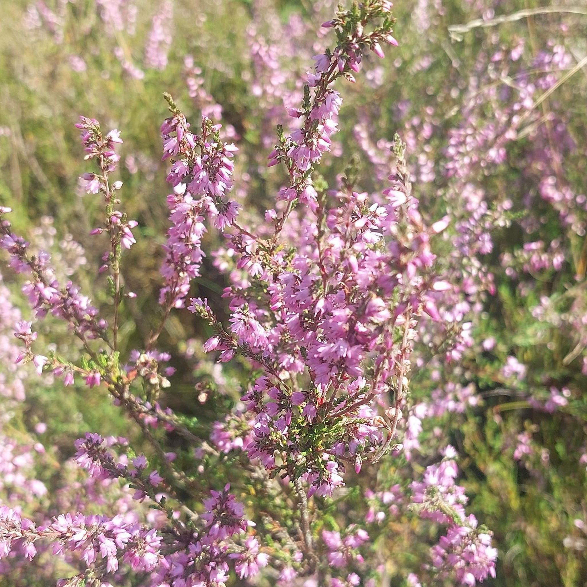
City hikes around Perlacher Forst

City hikes around Hartelholz
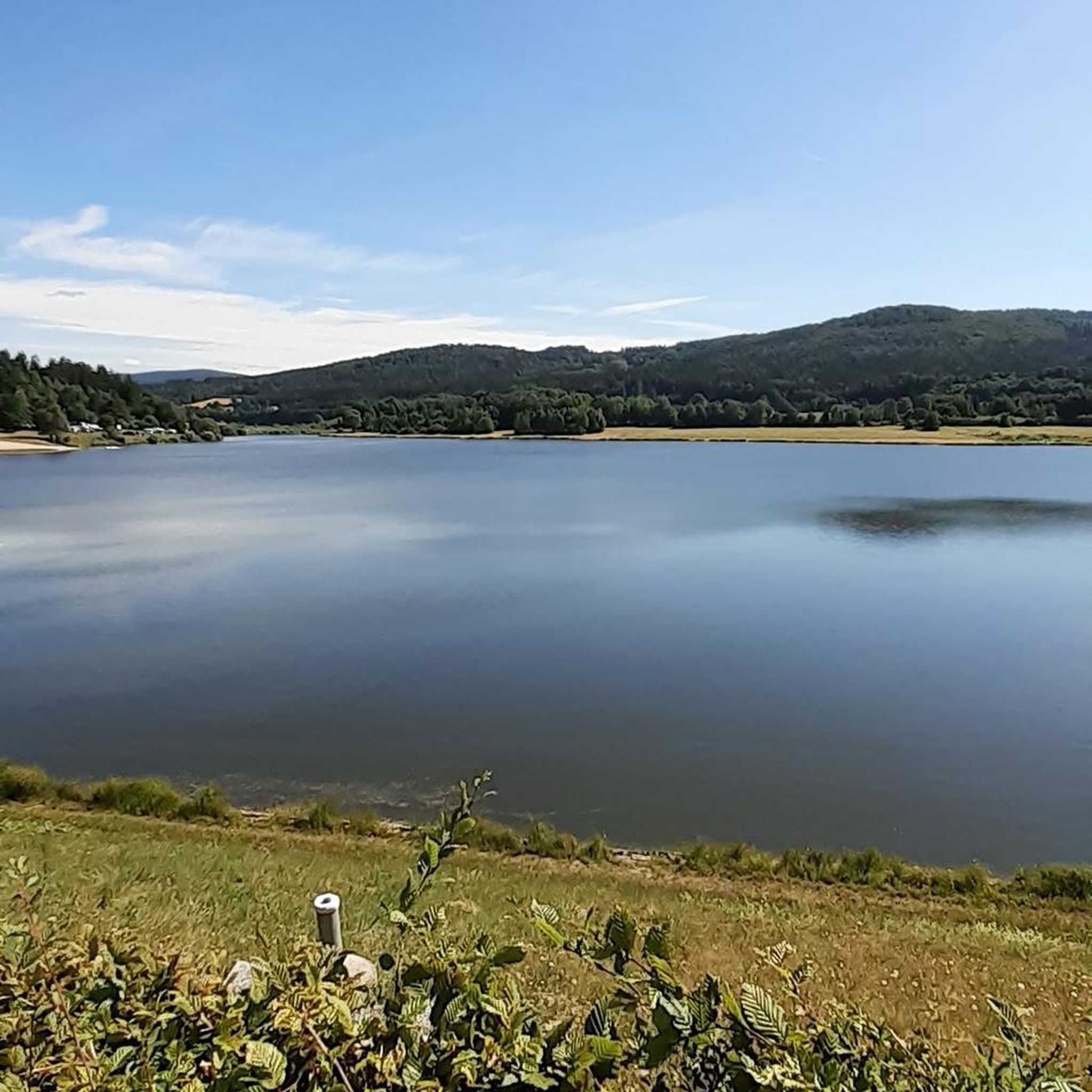
City hikes around Kirchheim bei München

City hikes around Angerlohe
City hikes in Südliche Fröttmaninger Heide
City hikes around Grünwalder Forst
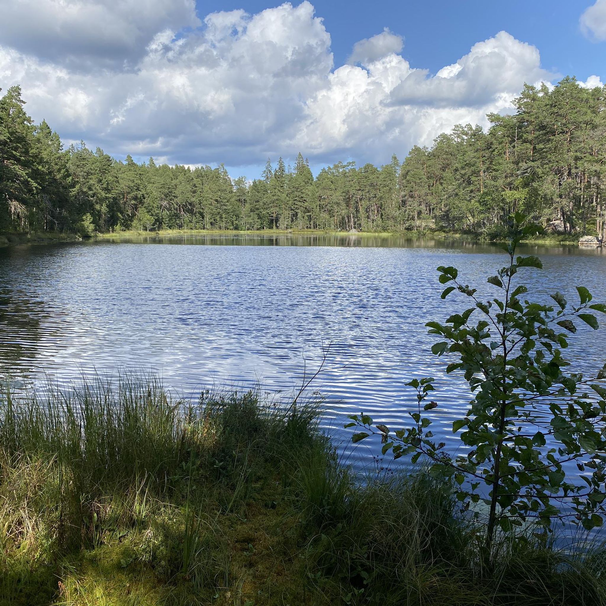
City hikes around Unterschleißheim
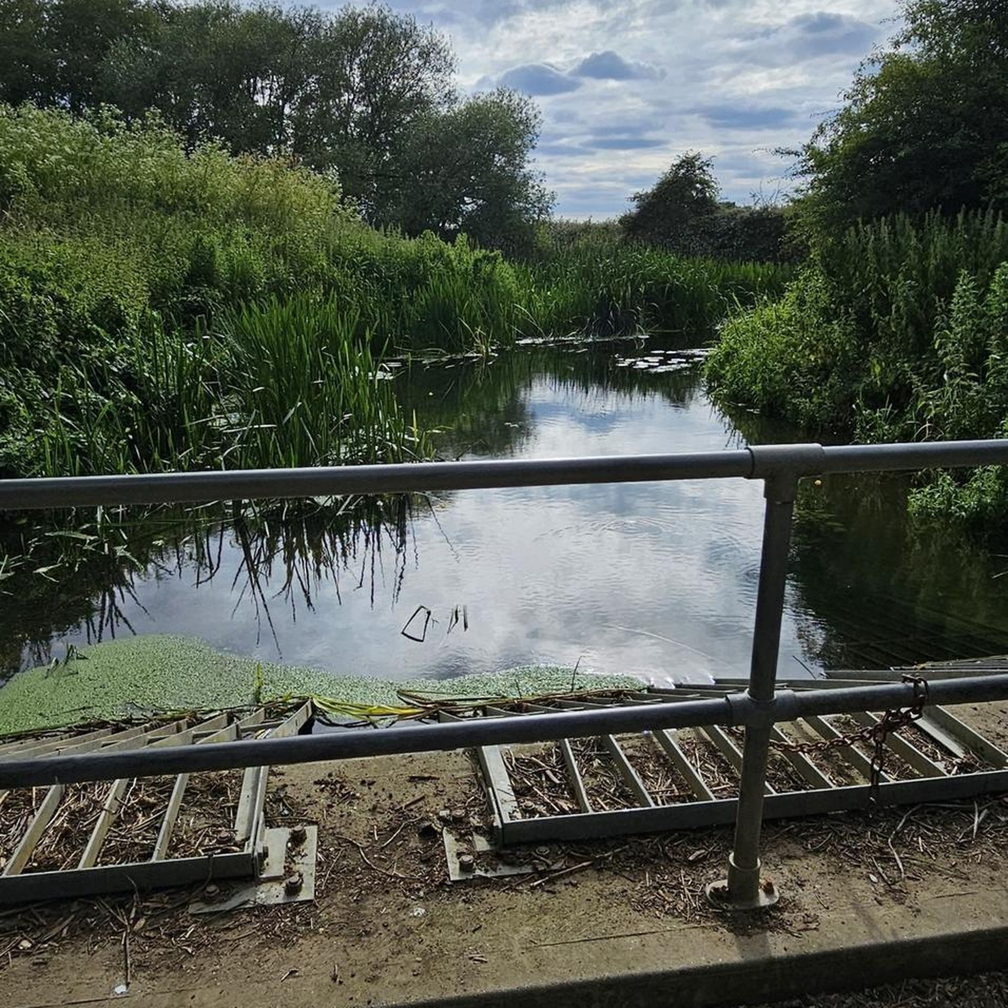
City hikes around Aubinger Lohe
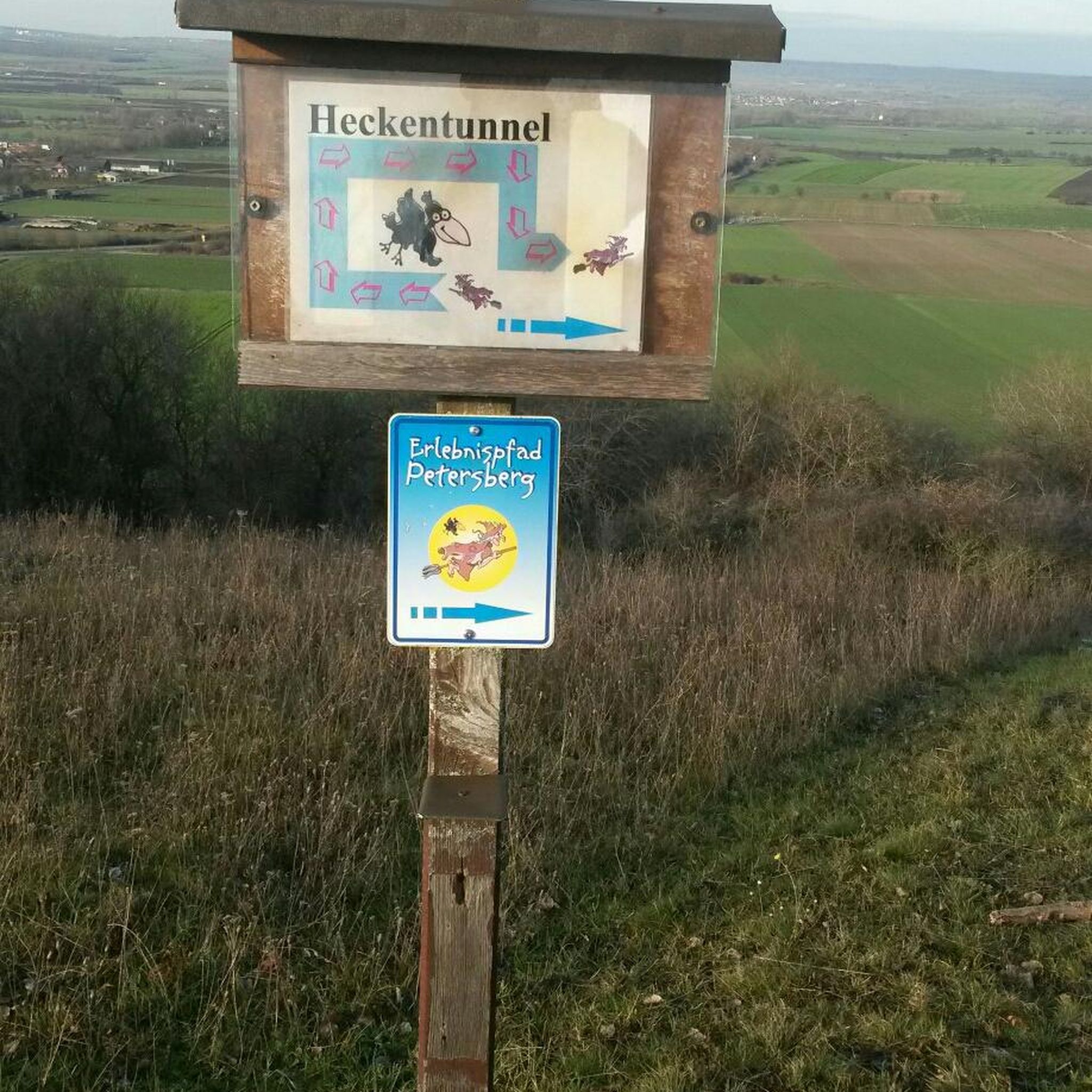
City hikes around Neubiberg

City hikes in Forstenrieder Park
Other adventures around Landkreis München


Tips from the Community

The Munich Residenz with its Hofgarten. A beautiful place to linger and enjoy the tranquility despite the hustle and bustle of the city around it.
2
0

Impressive building. It has a real wow effect when you come up from the subway with the escalator. Unfortunately, Marienplatz is always very crowded. It's only busier here when FC Bayern celebrates the championship :-)
0
0

A dream castle in the Nymphenburg district with a beautiful backdrop. Unfortunately, in a few years, two very tall towers to the left behind the castle will spoil the skyline.
0
0

Who doesn't know it? The city's living room.
1
0

The Nymphenburg Palace Rondel is a historic, listed ensemble with four courtiers' houses planned by Joseph Effner in the 18th century. From here, there is a spectacular view of the palace, the basin, and the fountain. The houses are partly used for events. The rondel development in front of the main wing, initiated by Max Emanuel's son, Elector Karl Albrecht, and completed after 1730, was considered an architectural sensation in its time. It features ten palaces, symmetrically divided into two groups of five, which were built between 1728 and 1758 for higher court officials.
15
0
The smaller of the two palace park lakes, the Pagodenburger See, was completed in 1813. It is named after the Pagodenburg, which lies in the northern part of the lake on an island formed by a ring-shaped canal. The area of the lake, including the island of about one hectare, is 2.9 hectares.
13
0
The octagonal floor plan of the Pagodenburg on a small island in the lake named after it was designed by Elector Max Emanuel. Master builder Joseph Effner completed the design and supervised the construction of the pleasure palace from 1716 to 1719. In 1767 it was rebuilt in the Rococo style. The name comes from the decoration of the interiors with Asian motifs. Consequently, the rooms are called "Chinese Salon" or "Chinese Cabinet".
14
0
The birth of the Bavarian Prince-Elector Max Emanuel from the House of Wittelsbach in 1662 was the occasion for the construction of a palace with a garden in the area between the villages of Neuhausen and Obermenzing as a gift for the young mother, Electorress Henriette Adelaide of Savoy. The foundation stone for the "Schwaigbau zu Nymphenburg" was laid in 1664. The complex was designed as a pleasure palace in the style of Italian country villas; it only became a Baroque palace complex, which could serve as a summer residence and an alternative to the seat of government, the Munich Residenz, a generation later under Max Emanuel. The model for Nymphenburg was the Piedmontese hunting lodge La Venaria, whose architect Amedeo Castellamonte (1613 to 1683) also provided the initial designs for Nymphenburg.
16
0
Frequently Asked Questions
How many urban hiking trails are available in Landkreis München?
There are over 1,800 urban hiking trails in Landkreis München, catering to various preferences. The majority, more than 1,500, are rated as easy, with about 260 moderate and a few more challenging options.
What kind of landscapes can I expect on urban hikes in Landkreis München?
Urban hikes in Landkreis München offer a diverse experience, primarily traversing the Munich Gravel Plain. You'll find extensive forest areas like the Perlacher Forst and Hofoldinger Forst, scenic paths along the Isar River, and routes around picturesque lakes such as the Ismaninger Speichersee and Hollerner See. Many trails also pass through protected landscapes, ensuring a blend of nature and urban accessibility.
Are there any urban hiking routes suitable for families with children?
Yes, many urban hiking routes in Landkreis München are family-friendly. The region offers numerous easy trails, often predominantly flat, making them suitable for all ages. Some areas, like those around the lakes, provide recreational facilities that can enhance a family outing. For example, the Bavarian Forest Adventure: Hidden Gems Trail is an easy option.
Can I find circular urban hiking routes in Landkreis München?
Absolutely. Many urban hiking trails in Landkreis München are designed as circular routes, allowing you to start and end at the same point. Popular examples include the Flaucher Isar Beach – Flauchersteg Bridge loop from Isartor or the Nymphenburg Palace Park – Nymphenburg Palace loop from Rotkreuzplatz, which offer convenient exploration without needing to retrace your steps.
Are there urban hiking trails accessible by public transport in Landkreis München?
Yes, many urban hiking routes in Landkreis München are well-connected to public transport. The region's infrastructure allows for easy access to trailheads, particularly for routes within or close to Munich city limits. This makes it convenient to explore the urban green spaces without a car.
What are some interesting landmarks or natural features to see on urban hikes?
Urban hikes in Landkreis München offer a variety of sights. You can discover natural features like the Schwabinger Bach Waterfall or the Isar Cascades at Maximilian Bridge. Many routes also pass by cultural landmarks such as the Frauenkirche or the historic Nymphenburg Palace Park.
What do other hikers enjoy most about urban hiking in Landkreis München?
The urban hiking trails in Landkreis München are highly regarded by the komoot community, boasting an average rating of 4.5 out of 5 stars from over 10,000 reviews. Hikers frequently praise the diverse landscapes, from tranquil forests to scenic riverbanks, and the accessibility of well-maintained paths that offer a refreshing escape within an urban setting.
Are there any urban hiking routes that feature waterfalls?
Yes, you can find urban hiking routes that include waterfalls. For instance, the Odeon Square – Schwabinger Bach Waterfall loop from Hauptbahnhof specifically highlights the Schwabinger Bach Waterfall. Other notable water features include the Isar Cascades at Maximilian Bridge.
What is the best season for urban hiking in Landkreis München?
Urban hiking in Landkreis München is enjoyable year-round. Spring brings blooming nature, summer offers pleasant walks along rivers and lakes, autumn showcases vibrant foliage in the forests, and even winter provides serene, often snow-dusted paths, especially in areas like the Perlacher Forst. The diverse landscapes ensure there's always something to appreciate.
Are there urban hiking trails with good viewpoints in Landkreis München?
While Landkreis München is not in the high Alps, some urban hikes offer pleasant viewpoints. You can find spots with views of the Alps on clear days, such as from Ludwigshöhe or Perlacher Mugl. These provide a different perspective on the surrounding landscape.
Are urban hiking trails in Landkreis München generally easy or more challenging?
The vast majority of urban hiking trails in Landkreis München are considered easy, with over 1,500 routes falling into this category. These trails are typically flat and well-maintained, making them accessible for most fitness levels. There are also around 260 moderate routes for those seeking a bit more challenge, and a small number of difficult trails.
Most popular routes around Landkreis München
Most popular attractions around Landkreis München

Get inspired with the komoot mobile app


Didn’t find what you were looking for?
Check out more Hikes throughout Landkreis München below and find the perfect route in your destination.
Explore more
Browse the best Hikes in other regions.
