Cranborne Chase & West Wiltshire Downs AONB
Cranborne Chase & West Wiltshire Downs AONB
The best traffic-free bike rides in Cranborne Chase & West Wiltshire Downs AONB
4.4
(66)
1,945
riders
118
rides
Road cycling in Cranborne Chase & West Wiltshire Downs National Landscape offers diverse terrain across a deeply rural area. This region is characterized by extensive chalkland, featuring smooth rounded downs, steeply cut combes, and dry valleys, alongside varied topography with shapely knolls and whaleback ridges. Cyclists will find narrow roads winding through ancient woodlands, such as remnants of the Cranborne Chase hunting forest, and picturesque chalkland valleys like the Wylye, Nadder, and Stour. The landscape provides both challenging climbs and…
Last updated: October 26, 2026
71
riders
88.2km
04:08
760m
760m
Moderate road ride. Good fitness required. Some segments of this route may be unpaved and difficult to ride.
5.0
(1)
69
riders
44.9km
02:08
490m
490m
Moderate road ride. Good fitness required. Mostly well-paved surfaces and easy to ride.

4.5
(2)
53
riders
59.2km
02:41
530m
530m
Moderate road ride. Good fitness required. Mostly well-paved surfaces and easy to ride.
3.0
(2)
38
riders
50.9km
02:27
530m
530m
Moderate road ride. Good fitness required. Mostly well-paved surfaces and easy to ride.
5.0
(2)
41
riders
43.4km
02:13
390m
390m
Moderate road ride. Good fitness required. Mostly well-paved surfaces and easy to ride.
Get access to more routes and recommendations from other explorers.
Already have an account?
Our route recommendations are based on thousands of hikes, rides, and runs completed by other people on komoot.
Start today with a free account
Your next adventure awaits.
Popular around Cranborne Chase & West Wiltshire Downs AONB
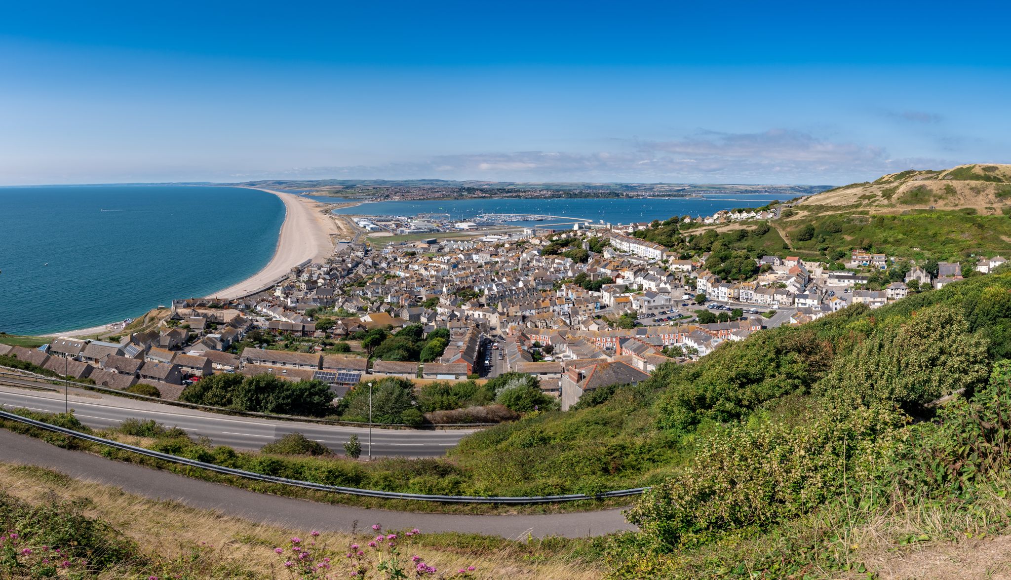
The county’s finest road rides — Dorset style
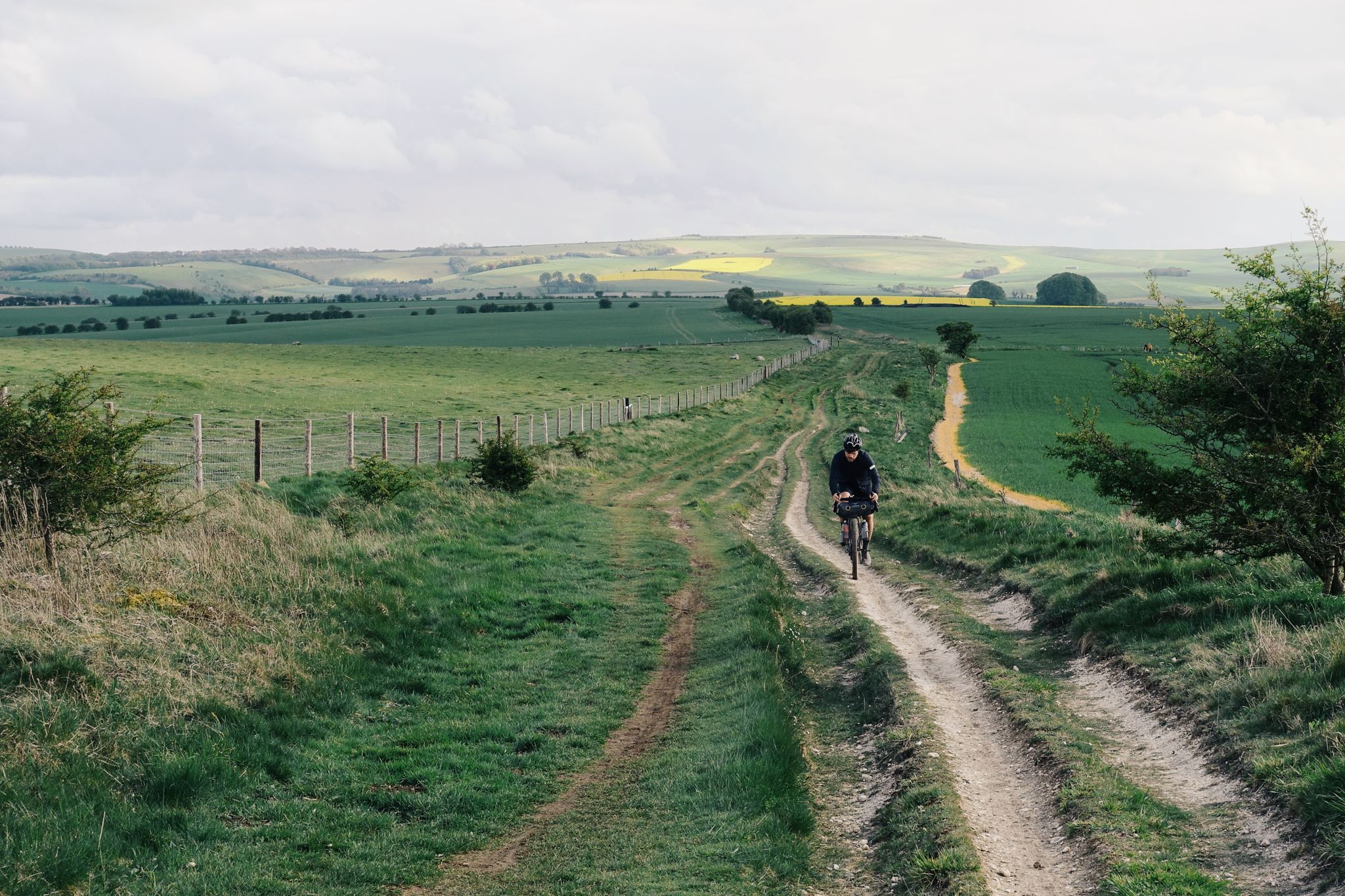
The Old Chalk Way
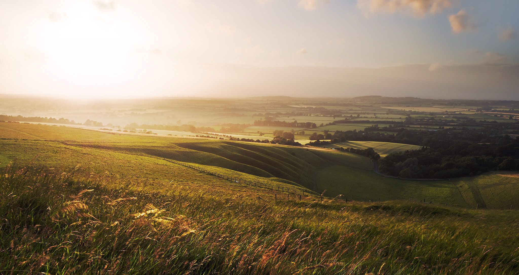
Hiking the Greater Ridgeway — Following Roman roads across England
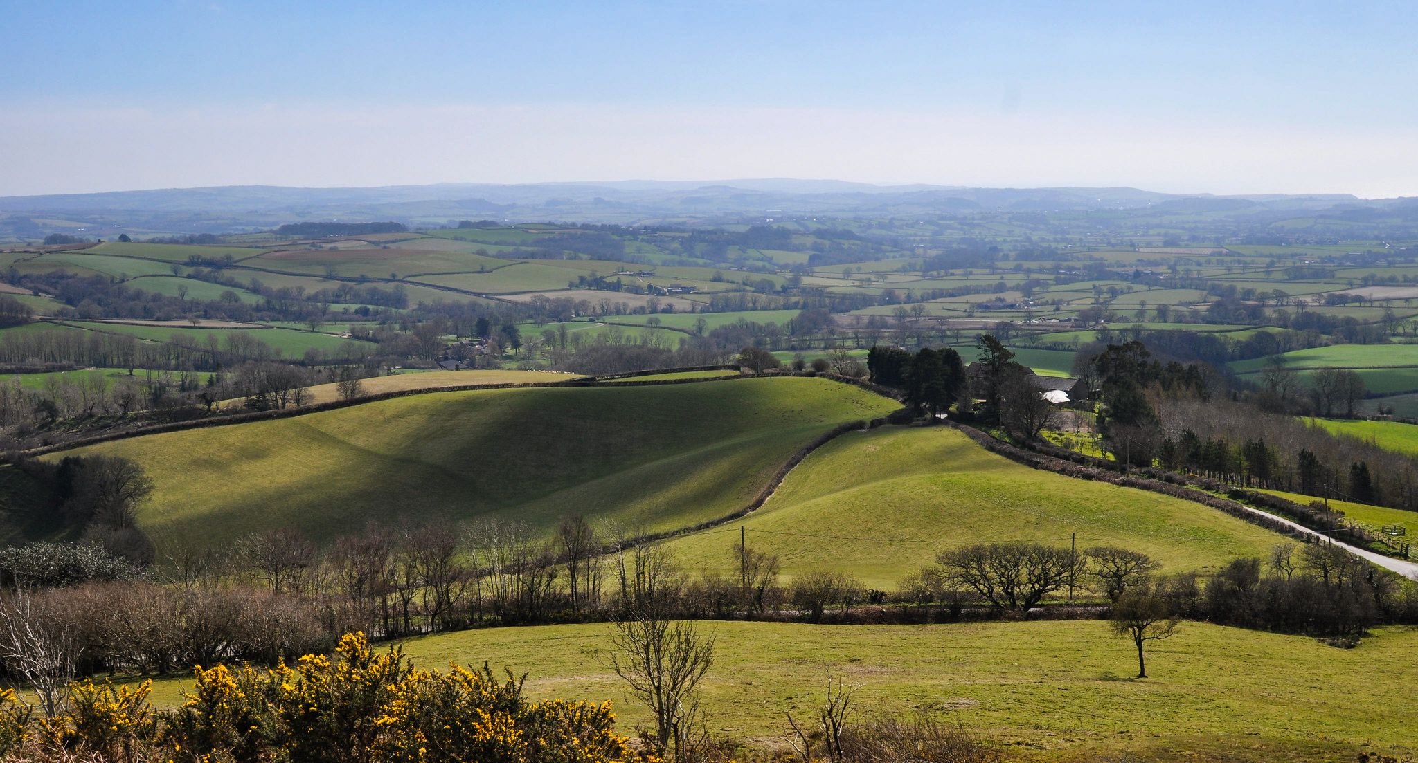
Hiking the Orange Way — Southern England in the footsteps of a king
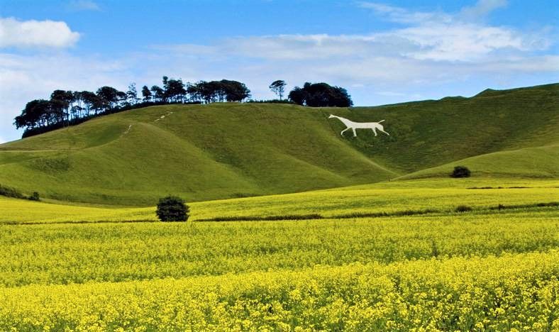
Wessex Ridgeway — An ancient and beautiful ridge hike
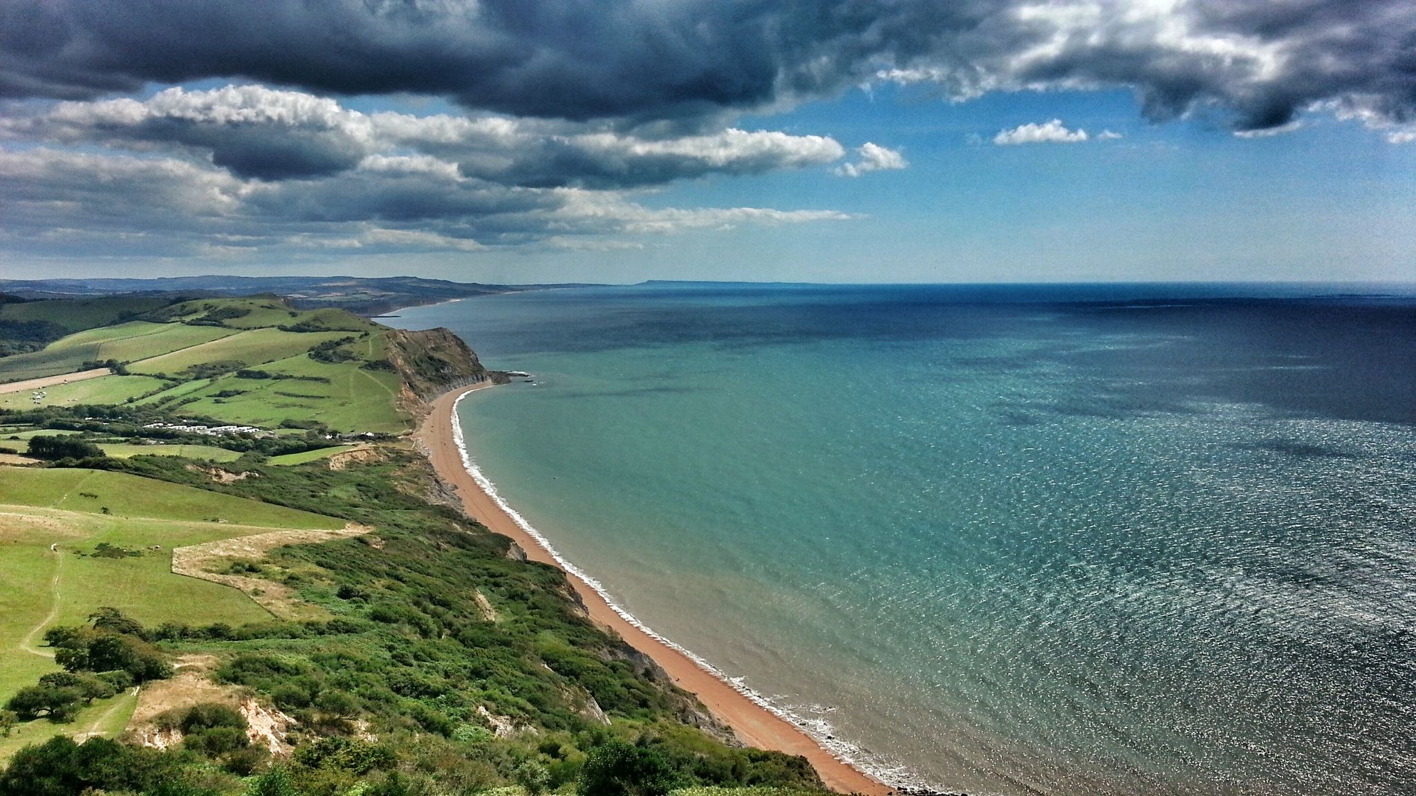
Monarch's Way: Part 3 — Conquer the longest inland trail in England
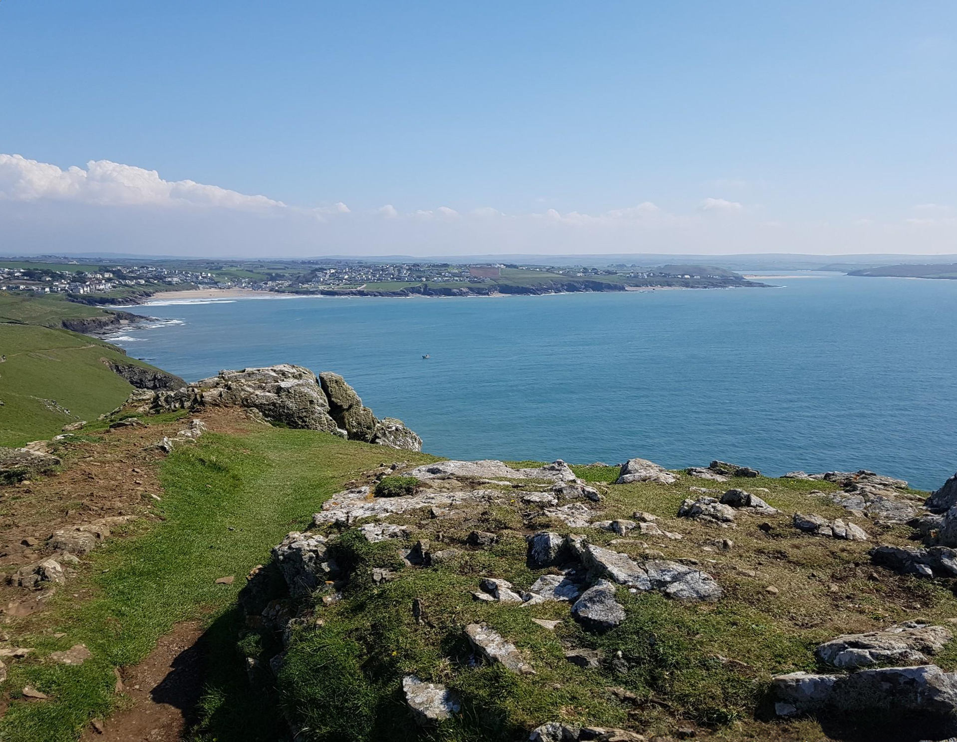
Trust10 – Trail Runs. In nature, for nature.
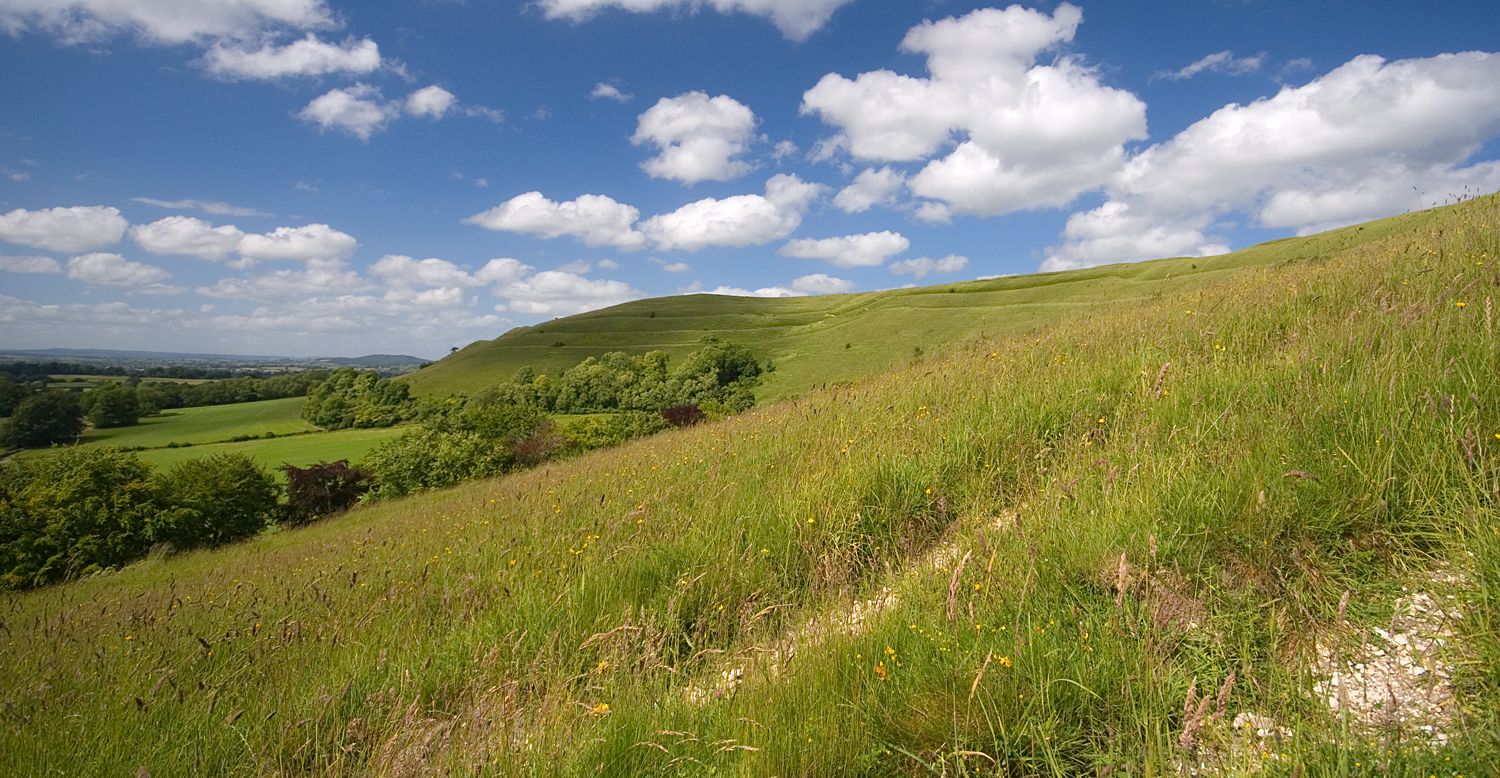
Roaming the ramparts of Dorset's hillforts — National Trust

Traffic-free bike rides in Cranborne Chase & West Wiltshire Downs AONB

Traffic-free bike rides in Cranborne Chase & West Wiltshire Downs AONB
Other adventures in Cranborne Chase & West Wiltshire Downs AONB


Tips from the Community


The Poultry Cross, often referred to as Salisbury Market Cross, is a medieval 14th-century market cross in the heart of Salisbury. It was originally part of the town's market facilities and marked the area of the poultry market. It is the only one of the city's four historic market crosses to have survived to this day.
2
0

Pro Tip: Salisbury Navigation — Start Smart, Finish Smarter Salisbury is a natural waypoint on the King Alfred’s Way — a scenic and historic city, but also a maze for a tired bikepacker. Here’s how to avoid the common pitfalls: 🧭 Navigation Hazards: The city layout can be disorienting after a long day in the saddle, especially with phone fatigue, low battery, or GPS signal issues. Preload your route offline and drop a pin at your parking location or train station before rolling out. 📱 Backup Nav: Bring a secondary form of navigation — a small power bank, a basic GPS unit, or even a paper map. If you’re relying on your phone, make sure screen timeouts and lockouts won’t leave you stranded (ask me how I know…). 📦 Start/End Point Logistics: If parking in Salisbury, choose a well-marked car park close to a landmark or note the street name. Trusting “Find My Parked Car” or memory alone can lead to a post-ride goose chase. A hidden hero? An AirTag stashed in your car. 🚴♂️ Ride Timing: Salisbury is a great place to begin or end a leg — just be aware of city traffic and tourist footfall, especially near the cathedral. Early starts and twilight returns can ease your flow through town.
2
0

A beautiful ancient bridge lovely views in all seasons x
0
0


A place for a rest if you need it
0
0


"The story of this great Cathedral is a tale of defiance and ingenuity that begins back in 1218, when the Bishop of Salisbury abandoned the original cathedral at Old Sarum, and moved down to the banks of the Avon, where the Cathedral stands today. You can learn the reasons for this move and about the people who made it happen by following the new family-friendly trail inside the Cathedral." (Text from https://www.visitwiltshire.co.uk/salisbury/things-to-do/salisbury-cathedral-and-magna-carta-p130493 )
6
0
Frequently Asked Questions
How many no-traffic road cycling routes are available in Cranborne Chase & West Wiltshire Downs National Landscape?
There are over 130 dedicated no-traffic road cycling routes in the Cranborne Chase & West Wiltshire Downs National Landscape. These routes are carefully curated to offer a serene cycling experience away from busy roads, allowing you to fully immerse yourself in the region's natural beauty.
What kind of terrain can I expect on these quiet road cycling routes?
The terrain in Cranborne Chase & West Wiltshire Downs National Landscape is diverse, featuring extensive chalkland with smooth rounded downs, steeply cut combes, and dry valleys. You'll encounter undulating landscapes, some challenging ascents, and rewarding descents. The area also includes picturesque chalkland valleys and ancient woodlands, providing varied scenery throughout your ride.
Are there options for beginners looking for no-traffic road cycling?
Yes, approximately 40 of the no-traffic road cycling routes are rated as easy, making them suitable for beginners or those looking for a more relaxed ride. These routes often follow gentler gradients through valleys and offer a great introduction to the region's quiet roads.
What historical landmarks or natural features can I see along these quiet road cycling routes?
The region is rich in history and natural beauty. You might pass by prehistoric sites, ancient woodlands, or even the ruins of Old Wardour Castle. For stunning views, consider routes near Win Green Summit or Melbury Beacon. The Salisbury Cathedral – Fovant Downs Climb loop from Broad Chalke, for example, takes you near the famous Fovant badges carved into the chalk hillside.
Are there any routes that offer panoramic viewpoints?
Absolutely. The elevated chalk ridgeways and specific points like Win Green Summit offer breathtaking panoramic views over the Vale of Wardour and beyond. Routes like the Crook Hill Lane Valley View – Fovant Downs Climb loop from Bishopstone provide excellent opportunities to enjoy expansive vistas across the landscape.
What is the best time of year to enjoy traffic-free road cycling in this area?
Spring and autumn are often ideal for traffic-free road cycling in Cranborne Chase & West Wiltshire Downs. The weather is generally milder, and the natural landscape is vibrant with spring blooms or autumn colours. Summer can also be pleasant, but it's always wise to check local weather forecasts, especially for potential heat or rain.
Are there any circular no-traffic road cycling routes?
Many of the no-traffic road cycling routes in the region are designed as circular loops, allowing you to start and finish at the same point. This is convenient for parking and exploring. Examples include The Cliff Ascent – St Mary the Virgin Church loop from Pimperne and Wimborne St Giles Pond – Furzehill Lane loop from Martin.
Where can I find parking for these no-traffic road cycling routes?
Given the rural nature of the Cranborne Chase & West Wiltshire Downs National Landscape, many villages and trailheads offer local parking options. It's advisable to check the specific route details on komoot for recommended starting points and parking information, as some routes may begin in smaller hamlets with limited facilities.
Is public transport an option to reach the starting points of these routes?
While the area is deeply rural, some larger villages and towns within or on the fringes of the National Landscape may have bus services. However, direct public transport links to specific, remote starting points for no-traffic routes can be limited. Planning your journey in advance and checking local bus timetables is recommended if you plan to use public transport.
What do other road cyclists enjoy the most about road cycling in Cranborne Chase & West Wiltshire Downs National Landscape?
The area is highly rated by the komoot community, with an average score of 4.56 stars. Reviewers often praise the incredibly quiet roads, the stunning panoramic views from the chalk downs, and the sense of tranquility found while cycling through the picturesque villages and ancient woodlands. The varied terrain, offering both challenging climbs and enjoyable descents, is also frequently highlighted.
Are there cafes or pubs along these quiet cycling routes?
The Cranborne Chase & West Wiltshire Downs National Landscape is dotted with charming scattered villages, many of which host traditional pubs and quaint cafes. While not every route will have amenities directly on the path, you'll often find welcoming stops in nearby villages, perfect for a refreshment break. It's a good idea to check the route map for village locations when planning your ride.
Most popular routes in Cranborne Chase & West Wiltshire Downs AONB
Most popular attractions in Cranborne Chase & West Wiltshire Downs AONB

Get inspired with the komoot mobile app


Explore more
Browse the best Road cycling routes in other regions.
