Cranborne Chase & West Wiltshire Downs AONB
Cranborne Chase & West Wiltshire Downs AONB
Easy hikes and walks in Cranborne Chase & West Wiltshire Downs AONB
4.6
(1206)
8,824
hikers
629
hikes
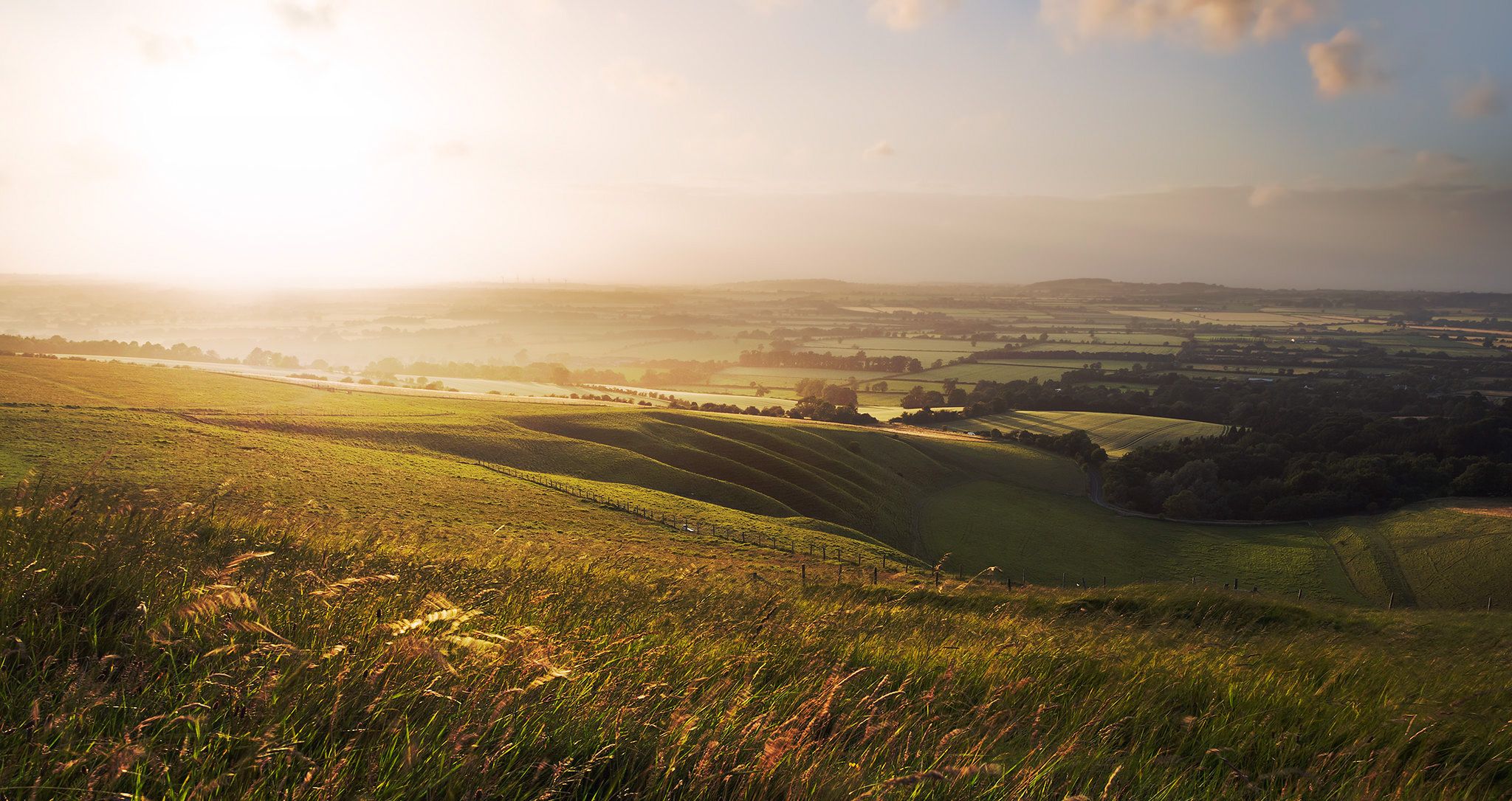
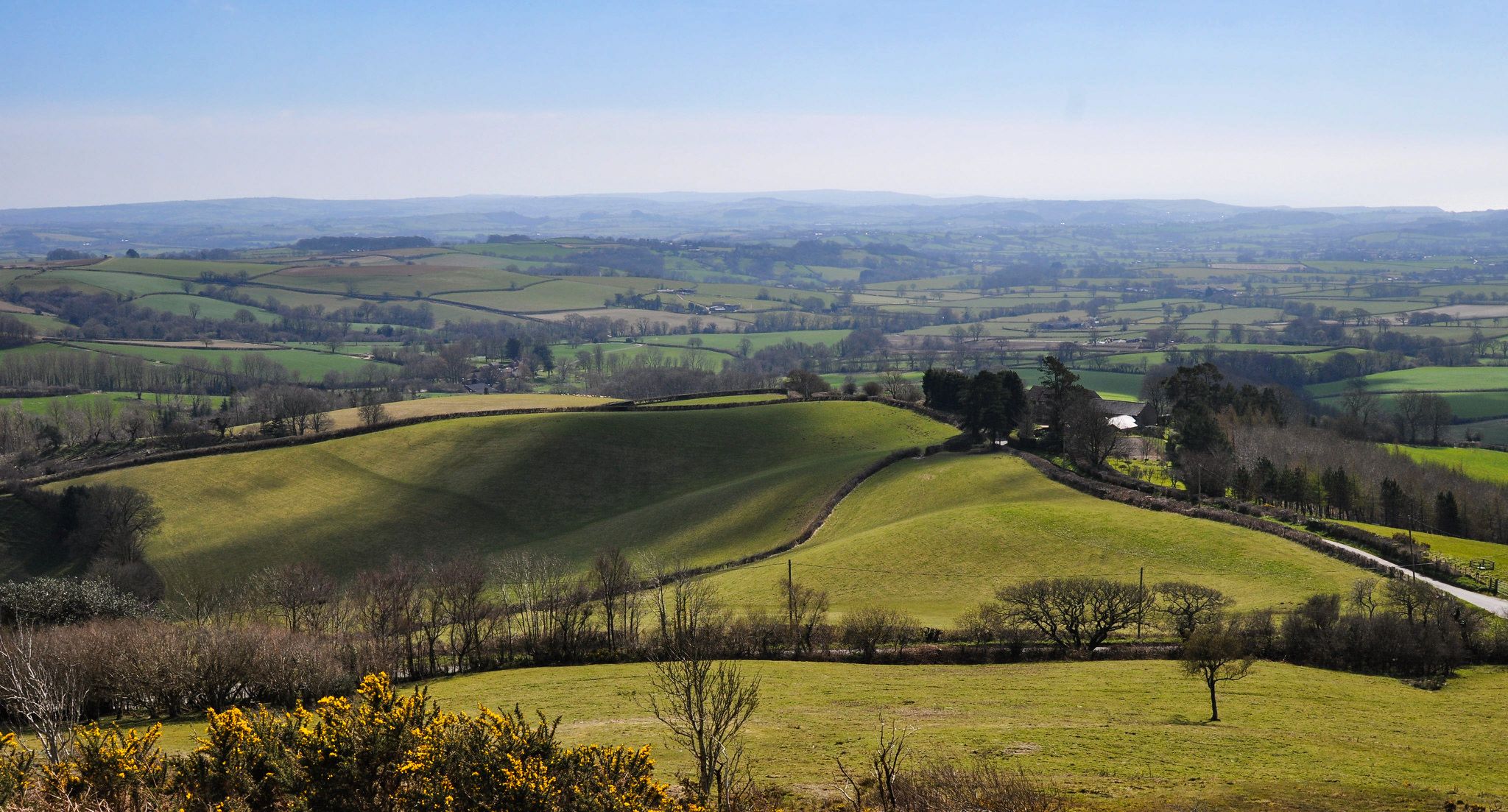
Easy hiking trails in Cranborne Chase & West Wiltshire Downs AONB traverse a diverse landscape characterized by extensive chalk downland, ancient woodlands, and gentle river valleys. The region features rolling hills and chalk escarpments, offering varied terrain for exploration. Distinctive greensand hills are found around Stourhead and Longleat, while the Vale of Wardour presents a clay valley topography. This area provides a network of paths through open countryside, sheltered forests, and along biologically rich chalk streams.
Best easy hiking trails…
Last updated: September 27, 2026
4.8
(9)
39
hikers
6.70km
01:51
110m
110m
Embark on an easy hiking adventure along the Monarch's Way and Grovely Wood Loop, a route that winds through varied landscapes. You will cover 4.2 miles (6.7 km) with a…
4.7
(7)
17
hikers
5.35km
01:30
100m
100m
Embark on an easy hike through the Stourhead House & Estate loop, a picturesque journey spanning 3.3 miles (5.4 km) with a gentle elevation gain of 334 feet (102 metres).…

5.0
(2)
6
hikers
2.39km
00:39
50m
50m
Embark on the Cley Hill Loop Trail, an easy hike that offers a refreshing escape into the West Wiltshire and Somerset countryside. This route spans 1.5 miles (2.4 km) and…
4.0
(1)
234
hikers
4.84km
01:19
70m
70m
Easy hike. Great for any fitness level. Easily-accessible paths. Suitable for all skill levels.
4.8
(10)
71
hikers
5.38km
01:30
100m
100m
Easy hike. Great for any fitness level. Easily-accessible paths. Suitable for all skill levels.
Get access to more routes and recommendations from other explorers.
Already have an account?
Our route recommendations are based on thousands of hikes, rides, and runs completed by other people on komoot.
Start today with a free account
Your next adventure awaits.
Popular around Cranborne Chase & West Wiltshire Downs AONB
Hiking the Greater Ridgeway — Following Roman roads across England
Hiking the Orange Way — Southern England in the footsteps of a king
Wessex Ridgeway — An ancient and beautiful ridge hike
Monarch's Way: Part 3 — Conquer the longest inland trail in England
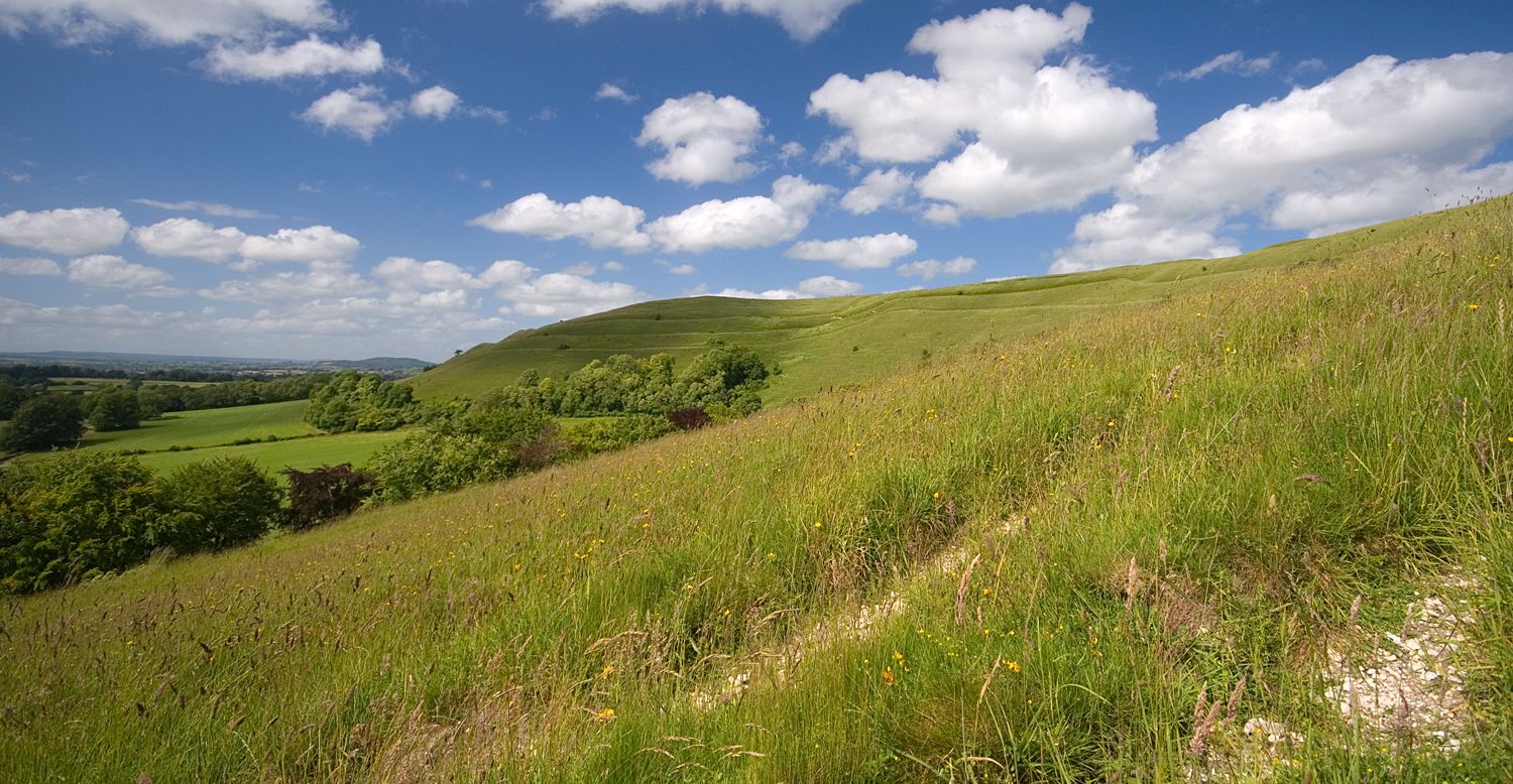
Roaming the ramparts of Dorset's hillforts — National Trust
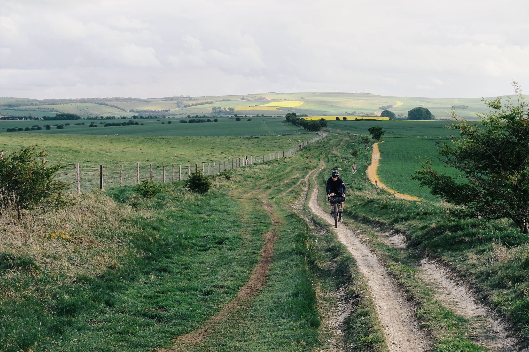
The Old Chalk Way
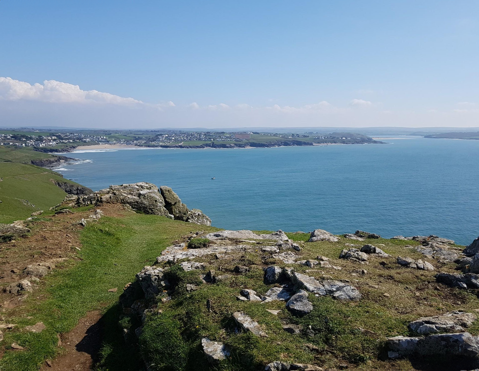
Trust10 – Trail Runs. In nature, for nature.
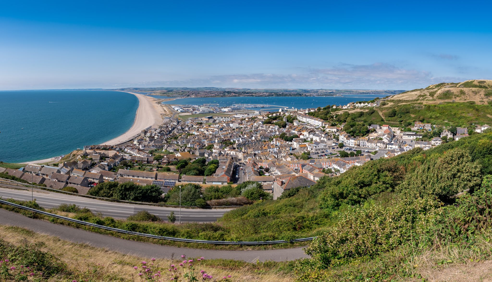
The county’s finest road rides — Dorset style
Other adventures in Cranborne Chase & West Wiltshire Downs AONB


Tips from the Community


The name „Turner’s Paddock“ refers to the English landscape painter Joseph Mallord William Turner. From this spot, views emerge that are reminiscent of Turner’s landscape depictions or are associated with him. Turner’s Paddock is a historic water wheel at a cascade. Originally, it served for water management; today, it is primarily a sight and part of the romantic garden landscape.
1
0
Stourhead House is an elegant early 18th-century country house in Stourhead. It was built for the Hoare family in the Palladian style. The house impresses with its neoclassical architecture, historic rooms, a library, and art and furniture pieces. After a fire in 1902, it was carefully restored. Since 1946, the estate has belonged to the National Trust and is open to visitors. Today, Stourhead House, along with its famous landscape gardens, is considered one of the most beautiful historic attractions in England.
2
0
The Spread Eagle Café & Courtyard is located in the village of Stourton, near the famous Stourhead country house. It is a popular destination for visitors to the gardens, as well as for hikers and cyclists. The café offers: * Coffee, tea, and homemade cakes * Light lunch options such as soups, sandwiches, and seasonal dishes * A cozy courtyard with outdoor seating * A tranquil atmosphere for relaxation
1
0

go in a low gear
0
0

The Bath stone obelisk on the Stourhead Estate is 32 m high. It was built in 1839 replacing an earlier obelisk on the same site. There is an interesting solar disk on the top and a dedication to Henry Hoare who had it built.
1
0

One of the largest mixed woodlands in southern Wiltshire, situated on a chalk ridge above the River Wylye. It is recognised for its nature conservation importance through designation as a County Wildlife Site. Among the species found here is the Purple Emperor butterfly.
4
0
The Obelisk in Stourhead gardens was first built in 1746 as an Egyptian symbol of the ever shining sun. It has been restored twice, it crumbled in the nineteenth century and was restored in 1839-40 and then again after being struck by lightning in 1853.
1
0
Frequently Asked Questions
What kind of terrain can I expect on easy hiking trails in Cranborne Chase & West Wiltshire Downs National Landscape?
Easy trails in this National Landscape primarily feature extensive chalk downland, offering open paths with wide horizons. You'll also find sheltered ancient woodlands, gentle river valleys, and distinctive greensand hills around areas like Stourhead. The terrain is generally rolling, with subtle changes in elevation, making it suitable for relaxed walks.
Are the easy trails in Cranborne Chase & West Wiltshire Downs National Landscape suitable for families with children?
Yes, the easy trails are well-suited for families. The landscape's gentle gradients, varied scenery, and numerous historical features provide engaging experiences for all ages. Many routes pass through woodlands or open fields, offering safe and enjoyable environments for children to explore.
What historical landmarks and points of interest can I see along easy hiking routes?
The National Landscape is rich in history. You can encounter prehistoric earthworks, ancient field systems, and hillforts like Badbury Rings Iron Age hillfort. Other notable sites include the ruins of Old Wardour Castle and the Fovant Badges, regimental symbols cut into the chalk hillside. Many trails follow historic paths and drove roads, connecting you to centuries of local heritage.
Are there any easy circular walks available?
Yes, many easy trails in the area are circular, allowing you to start and end at the same point. For example, the Cley Hill Loop Trail is a short, easy circular option. Another popular choice is the Hiking loop from Horningsham.
What natural features will I encounter on easy hikes?
You'll experience diverse natural beauty, including expansive chalk downland, ancient woodlands like Grovely Wood, and gentle river valleys such as the Wylye and Nadder. The area also features biologically rich chalk streams and remnants of rare chalk grassland. For panoramic views, consider routes that offer glimpses of Win Green Summit.
What is the best time of year to go for an easy hike in this region?
The Cranborne Chase & West Wiltshire Downs National Landscape is beautiful year-round. Spring brings wildflowers to the chalk grasslands, while summer offers warm, open-air walks. Autumn transforms the ancient woodlands with vibrant colors, and winter provides crisp, clear views across the downs. Always check local conditions before heading out.
Are dogs allowed on the easy hiking trails?
Many trails in the Cranborne Chase & West Wiltshire Downs National Landscape are dog-friendly, especially those on public rights of way. However, please be mindful of livestock, particularly in open fields and on chalk downland, and keep dogs on a lead where necessary. Always follow the Countryside Code.
How many easy hiking trails are there in Cranborne Chase & West Wiltshire Downs National Landscape?
There are over 270 easy hiking trails available in the Cranborne Chase & West Wiltshire Downs National Landscape, offering a wide variety of routes to explore for all ability levels.
What do other hikers enjoy most about hiking in Cranborne Chase & West Wiltshire Downs National Landscape?
The area is highly rated by the komoot community, with an average score of 4.6 stars from nearly 1,000 reviews. Hikers often praise the diverse landscapes, from open chalk downland to ancient woodlands, and the sense of tranquility found on the well-maintained paths. The rich history and panoramic views are also frequently highlighted.
Are there any easy trails that pass by water features?
Yes, the region is crisscrossed by gentle river valleys, such as those of the Wylye, Nadder, and Stour, which feature biologically rich chalk streams. While there are no large waterfalls, many easy routes will take you alongside these picturesque rivers and streams, offering peaceful waterside walks.
Can I access easy hiking trails using public transport?
While many trails are accessible by car, some villages within the National Landscape are served by local bus routes, which can provide access to trailheads. Planning your route in advance and checking local bus schedules is recommended if you intend to use public transport.
Are there any easy trails that offer good viewpoints?
Yes, the rolling hills and chalk escarpments provide numerous attractive viewpoints. While Win Green Summit offers breathtaking panoramic views, many easy trails on the higher chalk ridges also provide expansive vistas across the open countryside without significant climbs. Look for routes that traverse the downland for the best views.
Most popular routes in Cranborne Chase & West Wiltshire Downs AONB
Most popular attractions in Cranborne Chase & West Wiltshire Downs AONB

Get inspired with the komoot mobile app


Explore more
Browse the best Hikes in other regions.
