Cranborne Chase & West Wiltshire Downs AONB
Cranborne Chase & West Wiltshire Downs AONB
The best walks and hikes in Cranborne Chase & West Wiltshire Downs AONB
4.6
(1206)
8,824
hikers
629
hikes
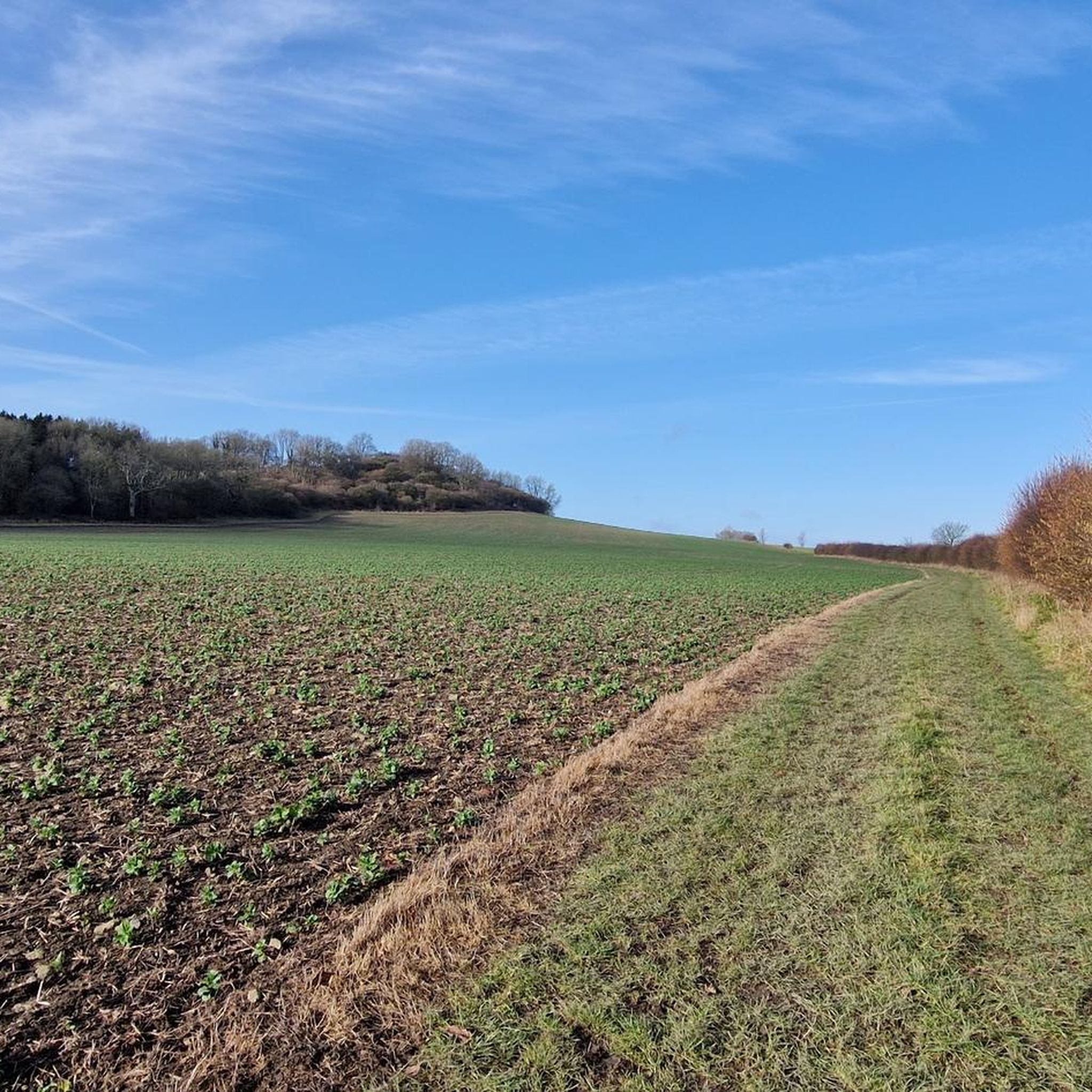
Hikes in Cranborne Chase & West Wiltshire Downs AONB feature a landscape of rolling chalk downland, ancient woodlands, and secluded river valleys. The terrain is characterized by a mix of open grasslands, steep escarpments, and forested areas, with gentle hills like Win Green offering expansive views. Water is a key feature, with chalk streams such as the Wylye and Nadder, and lakes including Fonthill Lake and Shear Water, providing varied settings for walks.
Best hiking trails in Cranborne Chase & West Wiltshire Downs AONB
- The most popular hiking route is Fonthill Lake loop from Hinden — Cranbourne Chase & West Wiltshire Downs, a 7.6 mile (12.2 km) trail that takes around 3 hours 20 minutes to complete. The route follows paths around the scenic Fonthill Lake.
- Another top favourite among local hiking enthusiasts is Donhead St Andrew & Wardour Castle loop from Wardour — Cranbourne Chase & West Wiltshire Downs, a moderate 4.6 mile (7.4 km) path. This hike passes the historic Old Wardour Castle and follows trails through fields and woodland.
- Local hiking enthusiasts also love the Tollard Royal & Berwick Down loop from Win Green — Cranbourne Chase & West Wiltshire Downs, a 5.5 mile (8.8 km) trail leading through open downland, often completed in about 2 hours 30 minutes.
- Hiking in Cranborne Chase & West Wiltshire Downs AONB is defined by its chalk ridges, ancient woodland walks, and paths through river valleys. The extensive network of trails provides routes suitable for various fitness levels.
- The routes in Cranborne Chase & West Wiltshire Downs AONB are highly rated by the komoot community with an average score of 4.6 stars from over 900 reviews. More than 6,900 hikers have used komoot to explore Cranborne Chase & West Wiltshire Downs AONB's varied terrain.
Last updated: September 27, 2026
4.6
(16)
78
hikers
12.2km
03:19
170m
170m
The Fonthill Lake loop from Hindon offers a picturesque hiking experience through tranquil lakeside views, historic estate grounds, and rolling countryside. You will traverse varied terrain, including gravelly tracks, woodlands, and open farmland, with views of the serene Fonthill Lake and its abundant birdlife. This moderate route covers 7.6 miles (12.2 km) with 564 feet (172 metres) of elevation gain, typically taking around 3 hours and 19 minutes to complete.
Starting from the charming village of Hindon, which boasts an attractive high street, pubs, and a village shop, the trail is generally accessible but requires a good level of fitness. While the paths are mostly easy, some sections can be muddy, and sure-footedness is beneficial. If you prefer a shorter outing, easier loops around Fonthill Lake are also available.
This trail provides a unique opportunity to explore the historic Fonthill Estate, dating back to 1533, which was once home to the famous Fonthill Abbey. Fonthill Lake itself is notable for its cinematic past, having been featured in the movie *Chocolat*, and you can often spot impressive birdlife here. You might also encounter historic elements like grottoes and an impressive gateway within the estate grounds.
4.6
(16)
119
hikers
Embark on the Tollard Royal & Berwick Down loop from Win Green, a moderate hike spanning 5.5 miles (8.8 km) with an elevation gain of 594 feet (181 metres). This route takes approximately 2 hours and 28 minutes to complete, guiding you through varied terrain including gravel paths, unpaved sections, and chalk tracks. You will traverse woodlands, open fields, and downland hillsides, experiencing both steep climbs and descents. The highlight is Win Green, the highest point in the Cranborne Chase AONB, where a distinctive clump of beech trees atop a Bronze Age bowl barrow marks the summit, offering expansive panoramic views across several counties.
Be prepared for diverse ground conditions; bridleways can become muddy after rain or snow, and some steep paths are best walked downhill, especially when damp. Sure-footedness is required, and sturdy shoes are highly recommended for your comfort and safety. As you hike, you will pass through charming villages like Tollard Royal, where you might consider a stop at the King John Inn, and Berwick St James, which features a church and a pub.
This trail is nestled within the Cranborne Chase & West Wiltshire Downs Area of Outstanding Natural Beauty, underscoring its ecological importance and natural beauty. Parts of the route follow the historic Ox Drove, an ancient droving route, and incorporate sections of the Wessex Ridgeway. Keep an eye out for local wildlife such as skylarks, hares, pheasants, and kites, which are often spotted in this protected landscape.

4.9
(16)
97
hikers
Embark on a moderate 4.6-mile (7.4 km) hike through the scenic Cranbourne Chase & West Wiltshire Downs, gaining 462 feet (141 metres) over approximately 2 hours and 4 minutes. This circular route takes you through classic Wiltshire countryside, offering views of rolling downland, ancient woodlands, and farmland. You'll pass by the impressive ruins of Old Wardour Castle, a key visual landmark, and wind through traditional villages like Donhead St Andrew, with paths that can be muddy in places.
The loop conveniently starts from Wardour, with free parking available at Old Wardour Castle, making it an easy access point. Be prepared for varied terrain, as paths consist of footpaths, bridleways, and quiet country lanes, which can get muddy, especially after rain. This route is dog-friendly, and you'll even find water bowls for your canine companion at the castle. Consider starting your hike earlier in the day to fully enjoy the historical sites and natural beauty.
This area is part of the Cranborne Chase, an Area of Outstanding Natural Beauty, known for its distinctive character and historic elements. The trail's main highlights are the two Wardour Castles; the ruined 14th-century Old Wardour Castle, famous for inspiring a film, and the impressive 18th-century Palladian-style New Wardour Castle. You will also encounter ancient holloways and the River Nadder, adding to the rich historical and natural context of your journey.
3.9
(9)
64
hikers
Embark on a moderate 2.9-mile (4.7 km) hike around Shearwater Lake and through Longleat Forest, a journey that typically takes about 1 hour and 17 minutes to complete with an elevation gain of 240 feet (73 metres). You will traverse diverse terrain, from well-maintained paths around the tranquil lake to woodland trails that can be uneven or muddy after rain. Enjoy constant views of the water and surrounding forest, which boasts a rich mix of trees, including impressive giant Redwoods and ancient veteran trees.
To begin your adventure, head to the dedicated pay and display car park at Shearwater Lake, which offers direct access to the trails. You will find convenient amenities like a lakeside cafe and toilets available for use. The area is generally dog-friendly, but remember to keep your canine companions on a lead, especially when near livestock or wildlife to ensure everyone's safety and enjoyment.
Shearwater Lake itself is a man-made feature, created in the late 18th century as part of the historic Longleat Estate. The forest surrounding it is not only home to diverse flora but also a variety of wildlife, including deer, red kites, and owls. This trail offers a glimpse into the natural beauty and historical landscape of the Cranborne Chase & West Wiltshire Downs, providing a refreshing escape into nature.
4.1
(16)
38
hikers
11.8km
03:15
190m
190m
This moderate hike, the Cley Hill & Longleat Forest loop, takes you through a rich tapestry of landscapes within the expansive Longleat Estate. You will cover 7.3 miles (11.8 km) with an elevation gain of 638 feet (194 metres), typically taking about 3 hours and 15 minutes to complete. As you walk, you will wind through ancient woodlands where you might spot local wildlife, ascend Cley Hill for far-reaching views, and enjoy peaceful moments along the shores of Shear Water Lake.
When planning your visit, you will find this route generally accessible, and parking is usually available near Shear Water, which is a convenient starting point. It is always a good idea to check local conditions before you head out, especially if you are hiking during wetter months, as some parts of the trail can become muddy. This circular route offers a rewarding experience for hikers with good fitness levels.
The trail is a fantastic way to explore the natural beauty and varied terrain of the Longleat Forest area. Beyond the forest, the ascent of Cley Hill provides a distinct highlight, offering panoramic vistas that stretch across the surrounding countryside. The presence of Shear Water Lake, known as a popular fishing spot, adds another layer of charm to this well-rounded hiking experience.
Get access to more routes and recommendations from other explorers.
Already have an account?
Our route recommendations are based on thousands of hikes, rides, and runs completed by other people on komoot.
Start today with a free account
Your next adventure awaits.
Popular around Cranborne Chase & West Wiltshire Downs AONB
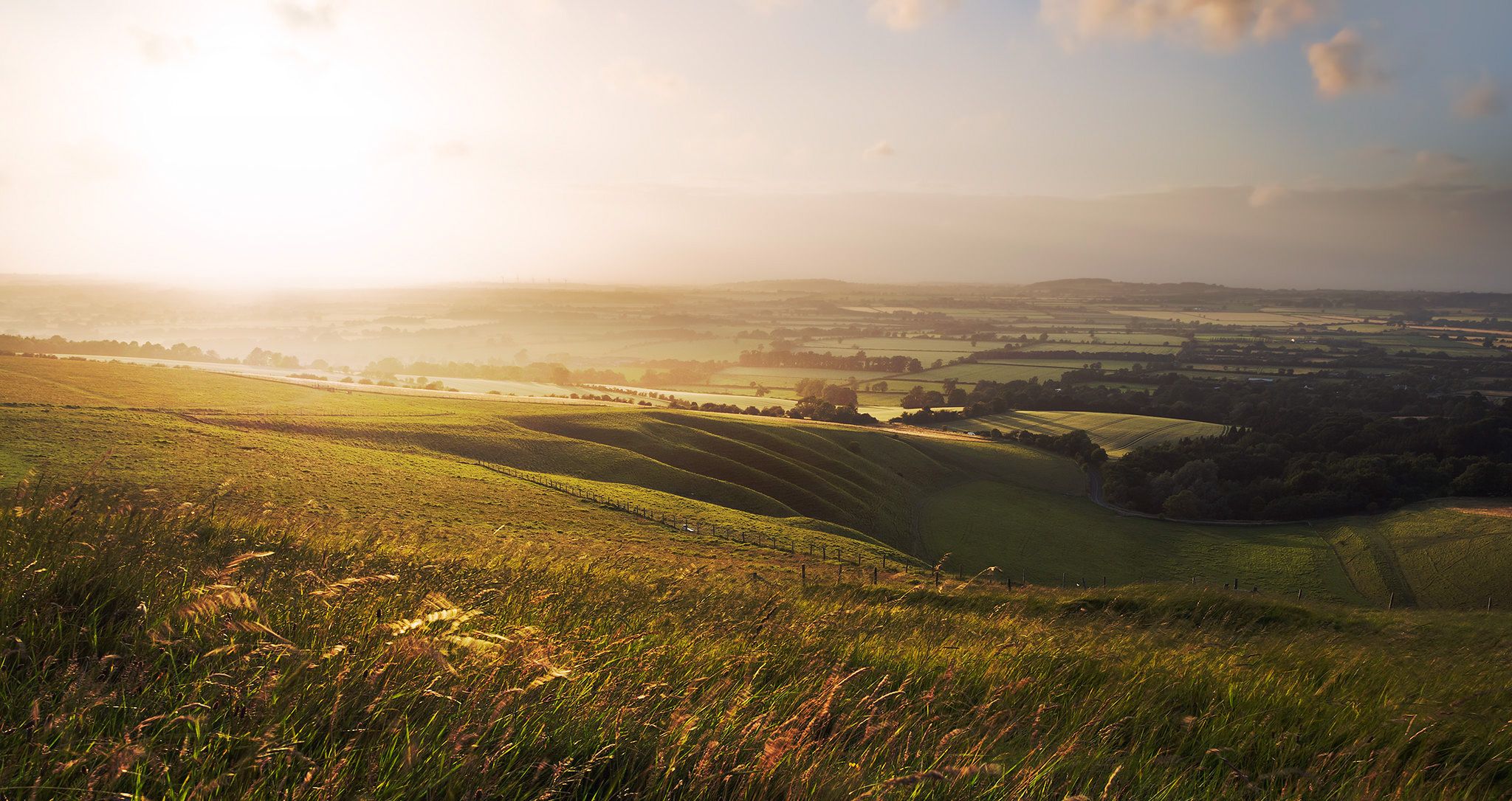
Hiking the Greater Ridgeway — Following Roman roads across England
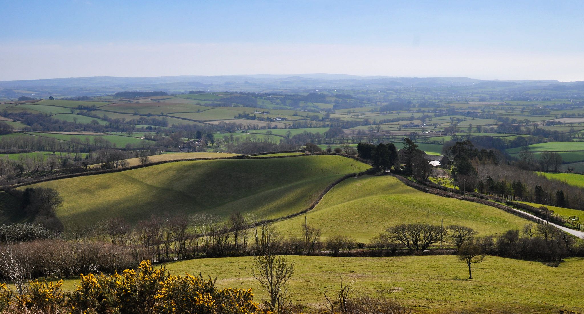
Hiking the Orange Way — Southern England in the footsteps of a king

Wessex Ridgeway — An ancient and beautiful ridge hike
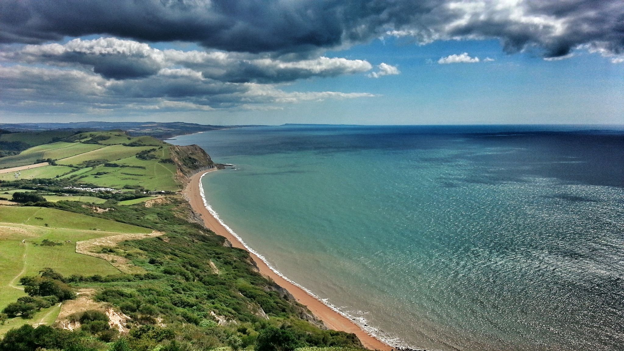
Monarch's Way: Part 3 — Conquer the longest inland trail in England
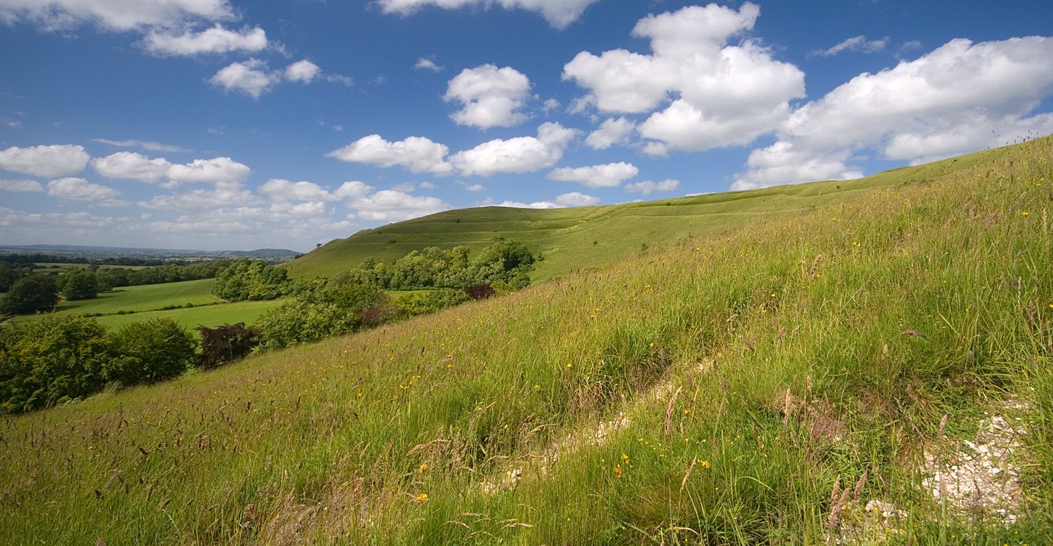
Roaming the ramparts of Dorset's hillforts — National Trust
The Old Chalk Way
Trust10 – Trail Runs. In nature, for nature.
The county’s finest road rides — Dorset style
Running Trails in Cranborne Chase & West Wiltshire Downs AONB
Cycling in Cranborne Chase & West Wiltshire Downs AONB
Other adventures in Cranborne Chase & West Wiltshire Downs AONB


Tips from the Community

Lovely place to wander around. Made an ideal drink stop on our loop from Tisbury. And the wife is a big fan of Alan Rickman :)
0
0


beautiful location by the old castle in the winter
1
0

Definitely worth a visit beautiful ancient castle and amazing history
1
0
One of the most beautiful places in the south of England 🏴 and amazing views of Wiltshire and Dorset 🤩
0
0
This is amazing for trail running especially in the woods north of the lake x
0
0

Lovely lake with woodland walks around the lake and a cafe at one end. Plenty of parking as well.
0
0

Win Green at 277 m is the highest point on Cranbourne Chase. The tree topped summit also has a Bronze Age hill barrow, topography stone and trig point. Lots of great running loops from here as well as easy parking close by.
0
0
Frequently Asked Questions
Are there many hiking trails in Cranborne Chase & West Wiltshire Downs AONB?
Yes, there is an extensive network of trails to explore. You can find over 600 routes in the region, ranging from easy strolls to challenging long-distance paths, covering the area's diverse landscapes of chalk downland, ancient woods, and river valleys.
What do other hikers enjoy about the Cranborne Chase & West Wiltshire Downs AONB?
The area is highly rated by the komoot community, with an average score of 4.6 stars. Hikers often praise the stunning panoramic views from the chalk ridges, the tranquility of the ancient woodlands, and the rich sense of history found in the numerous archaeological sites scattered across the landscape.
Are there any good circular walks?
The region is perfect for circular hikes. A great option that combines history and nature is the Donhead St Andrew & Wardour Castle loop. This moderate 4.6-mile (7.4 km) walk takes you past the romantic ruins of Old Wardour Castle and through peaceful fields and woodland.
Can I take my dog on hikes in the AONB?
Many trails in the Cranborne Chase & West Wiltshire Downs AONB are suitable for walking with a dog. Open downland areas like those around Win Green are popular choices. However, always be mindful of livestock and ground-nesting birds, especially between March and July, and keep your dog on a lead where required.
Are there any family-friendly walks?
Yes, there are several walks suitable for the whole family. The Shear Water Lake & Longleat Forest loop is a wonderful choice. It's a relatively gentle path around a beautiful lake, offering plenty of interest for younger walkers without being too strenuous.
Where can I find walks with the best views?
For some of the most breathtaking panoramic views, head to Win Green, the highest point in the AONB. On a clear day, you can see for miles. The Tollard Royal & Berwick Down loop from Win Green is a fantastic 5.5-mile (8.8 km) hike that makes the most of these expansive vistas across the open downland.
What are some good long-distance hikes in the area?
If you're looking for a longer challenge, the Cley Hill & Longleat Forest loop from Shear Water is an excellent option. This 7.3-mile (11.8 km) route involves a rewarding climb up Cley Hill, an Iron Age hillfort, offering superb views before looping back through the historic Longleat Forest.
Are there any walks through ancient woodlands?
The AONB is renowned for its ancient woodlands, remnants of the historic Cranborne Chase hunting forest. You can immerse yourself in these serene forests on many trails. For a walk that features a beautiful lake set against a woodland backdrop, consider the Fonthill Lake loop from Hinden, a 7.6-mile (12.2 km) route that combines waterside paths with trails through the surrounding woods.
Where can I find parking for walks?
Many popular trailheads have dedicated parking areas. For example, there is a car park at Win Green, which is a starting point for several walks. Other routes often start from villages where on-street parking may be available, but always check for local restrictions and park considerately.
Are there any wheelchair-accessible or easy-access trails?
While much of the AONB features uneven terrain, some locations offer more accessible options. Areas like Shearwater Lake and parts of the Stourhead estate have flatter, well-surfaced paths suitable for pushchairs and some wheelchairs. It's always best to check with the specific location, like the National Trust for Stourhead, for the most up-to-date accessibility information.
What are some popular places for hiking in Cranborne Chase & West Wiltshire Downs AONB?
Hikers are drawn to several key locations within the AONB. Some of the most popular spots include:
- Win Green: A must-visit for its incredible panoramic views from the highest point in the area. It's a well-regarded starting point for downland walks.
- Martin Down National Nature Reserve: Praised for its wide-open spaces and rich biodiversity, this reserve offers gentle, undulating paths through ancient grassland.
- North Wessex Downs National Landscape: This vast, tranquil area of hilly countryside is a favorite for walkers seeking sweeping, scenic views and a sense of remoteness.
Most popular routes in Cranborne Chase & West Wiltshire Downs AONB
Most popular attractions in Cranborne Chase & West Wiltshire Downs AONB

Get inspired with the komoot mobile app


Explore more
Browse the best Hikes in other regions.
