The best city hikes and walks in Metro Vancouver Regional Parks
4.6
(1614)
24,372
hikers
206
hikes
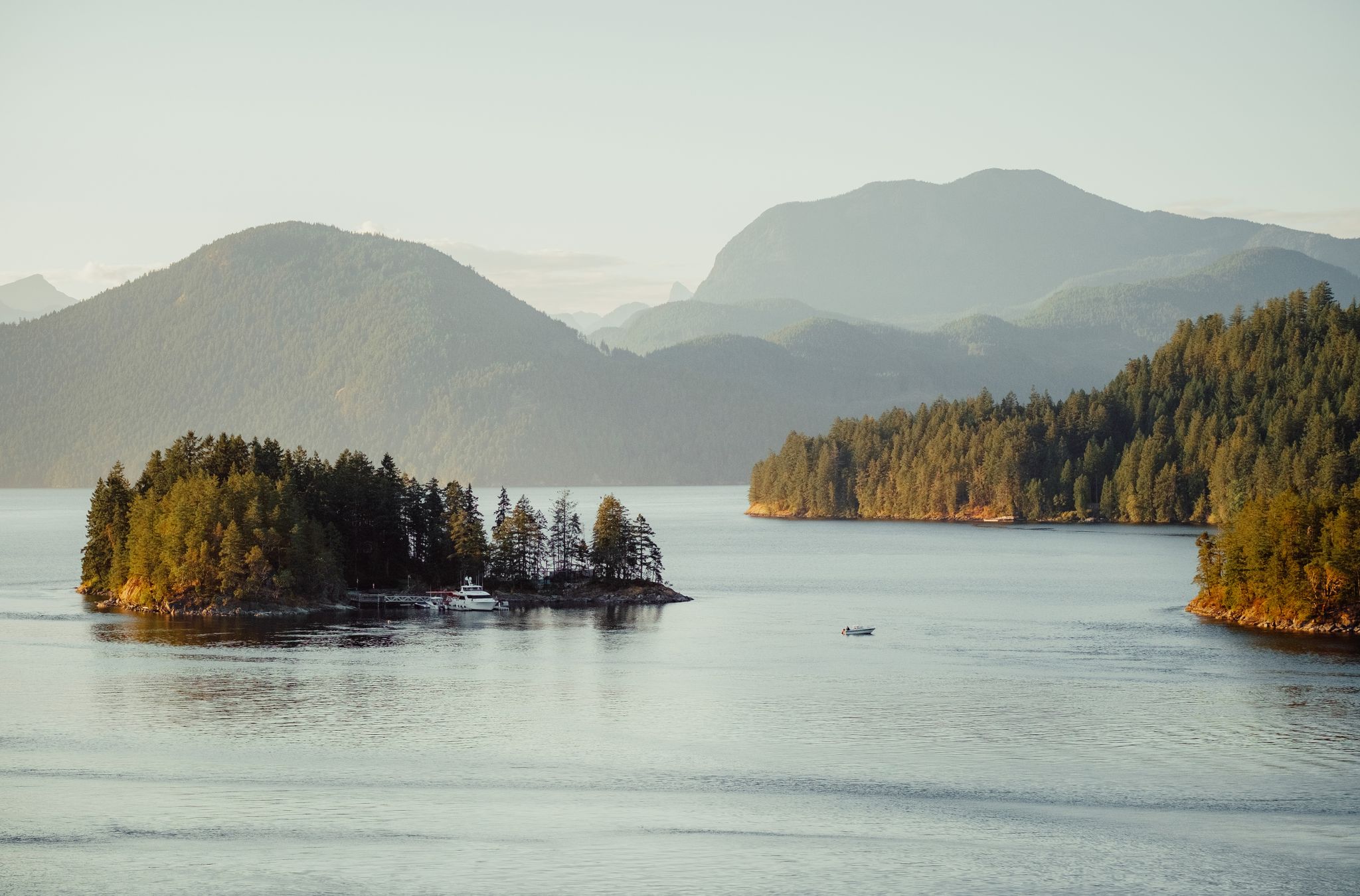
Urban hiking trails in Metro Vancouver Regional Parks offer a diverse network of natural spaces for outdoor activities. The region is characterized by extensive forested areas, significant water bodies like lakes and rivers, and coastal environments where the Fraser River meets the Pacific Ocean. These parks protect vital natural areas while providing accessible green spaces for residents and visitors. The landscape includes varied terrain, from flat, accessible paths around wetlands to trails through lush forests and along shorelines.
Best urban hiking trails in Metro Vancouver Regional Parks
- The most popular urban hiking route is Burnaby Lake Wetlands – View of Burnaby Lake loop from Burnaby Lake Regional Park, a 2.8 miles (4.4 km) trail that takes 1 hour 8 minutes to complete. This route offers views of Burnaby Lake and its surrounding wetlands.
- Another top favourite among local hikers is Burnaby Lake Wetlands – View of Burnaby Lake loop from Cariboo, an easy 3.8 miles (6.2 km) path. This trail provides further exploration of the Burnaby Lake area, known for its diverse ecosystems.
- Local hikers also love the Wreck Beach at Point Grey – Museum of Anthropology at UBC loop from University of British Columbia, a 2.8 miles (4.6 km) trail leading through coastal areas and the University of British Columbia campus, often completed in about 1 hour 19 minutes.
- Hiking in Metro Vancouver Regional Parks is defined by coastal paths, forested areas, and wetland trails. The network offers options for different ability levels, from easy strolls to more challenging routes.
- The routes in Metro Vancouver Regional Parks are highly rated by the komoot community with an average score of 4.7 stars from over 600 reviews. More than 6000 hikers have used komoot to explore Metro Vancouver Regional Parks's varied terrain.
Last updated: November 1, 2026
34
hikers
6.22km
01:36
30m
30m
Easy hike. Easily walkable paths.
5.0
(1)
9
hikers
3.12km
00:48
10m
10m
Easy hike. Easily walkable paths.

5.0
(1)
44
hikers
Easy hike. Easily walkable paths.
2
hikers
Easy hike. Easily walkable paths.
2
hikers
2.54km
00:39
10m
10m
Easy hike. Easily walkable paths.
Get access to more routes and recommendations from other explorers.
Already have an account?
Our route recommendations are based on thousands of hikes, rides, and runs completed by other people on komoot.
Start today with a free account
Your next adventure awaits.
Popular around Metro Vancouver Regional Parks
Other adventures in Metro Vancouver Regional Parks

Tips from the Community

This flat, gravel trail runs between railroad tracks and Burnaby Lake. It's perfect for a family outing with multiple viewpoints along the way. You can take it as an out and back or combine it with other trails for a loop around the lake.
0
0

This viewpoint sits at the end of the Phillips Point trail and is marked with a singular bench and great views over Burnaby Lake, which spans about 770 acres and is encompassed by wetlands.
0
0
Climb this two-story observation tower for unique views over Burnaby Lake Regional Park. The views from the top of the tower, on a clear day, show off the the far-off Vancouver skyline, with skyscrapers poking out from the forest.
0
0

Pitt River Regional Greenway is a multi-use trail that follows the east bank of the Pitt and Fraser rivers through Pitt Meadows. The route runs along dikes and through riparian areas, with wide views of the river, surrounding farmland, and nearby mountains. Its flat, open alignment and proximity to the water give it a calm, spacious feel, with plenty of opportunities to see birds and other wildlife.
0
0
The Fraser River is British Columbia’s longest river, stretching over 1,300 kilometres from the Rockies to the Pacific. It flows through diverse landscapes, from alpine valleys to urban centres, and supports one of the largest salmon runs in North America. The river has shaped the region’s ecology, economy, and history for thousands of years.
0
0
Harris Landing Park is a charming waterfront spot in Pitt Meadows, nestled along the north bank of the Fraser River. It offers access to a quiet stretch of shoreline with a boat launch, lots of green space, and breathtaking views of the wide river channel. The setting feels open and lightly developed, with the river and surrounding floodplain shaping the landscape, making it the perfect spot for a picnic or a place to relax and soak in the scenery.
0
0

Canada's best Native American museum.
0
0
Super beach walk in complete peace.
0
0
Frequently Asked Questions
How many urban hiking trails are available in Metro Vancouver Regional Parks?
Metro Vancouver Regional Parks offer a wide array of urban hiking experiences, with over 200 routes available for exploration. The majority of these, around 150, are considered easy, making them suitable for various fitness levels.
What makes urban hiking in Metro Vancouver Regional Parks unique?
Urban hiking here provides a unique blend of natural beauty and city proximity. You can explore diverse landscapes ranging from coastal and marine views, such as those found along the Iona Jetty Trail, to lush forests and serene wetlands. The regional park system is designed to protect vital natural areas while offering accessible green spaces within the metropolitan area.
What do other hikers say about urban trails in Metro Vancouver Regional Parks?
The komoot community highly rates the urban trails in Metro Vancouver Regional Parks, with an average score of 4.7 out of 5 stars from over 600 reviews. Hikers often praise the well-maintained paths, the stunning natural scenery, and the accessibility of these trails for a quick escape into nature.
Are there easy urban hikes suitable for beginners or those looking for a relaxed walk?
Yes, many urban trails in Metro Vancouver Regional Parks are perfect for beginners or those seeking a leisurely stroll. For example, the Burnaby Lake Wetlands loop offers a gentle path around the lake, while the Harris Landing Park loop provides a short, easy walk. The Iona Jetty Trail is also known for its flat terrain and ocean views.
Can I find urban hikes with scenic viewpoints or natural features like waterfalls?
Absolutely! Metro Vancouver Regional Parks are rich in natural features. While many urban trails offer forest or wetland views, you can find stunning coastal vistas along the Iona Jetty Trail. For more dramatic natural sights, consider exploring areas near Kennedy Falls or the iconic Capilano Suspension Bridge area, which offers impressive natural beauty.
Are there urban trails suitable for families with children?
Many urban trails are family-friendly, featuring easy terrain and amenities like public restrooms and picnic areas. Paths around Burnaby Lake, such as the Burnaby Lake Wetlands loop from Cariboo, are great options. The Pacific Spirit Regional Park also offers gentle trails suitable for all ages, perfect for a nature outing with minimal elevation.
Are dogs allowed on urban hiking trails in Metro Vancouver Regional Parks?
Many regional parks in Metro Vancouver are dog-friendly, though specific rules regarding leashes and restricted areas may apply. It's always best to check the park's specific regulations before heading out. Generally, you'll find plenty of trails where your canine companion can join you for an urban adventure.
Are there urban hikes accessible by public transport?
Yes, many urban trails within Metro Vancouver Regional Parks are well-connected to public transport. The extensive transit network allows for convenient access to various park entrances, making it easy to enjoy a hike without needing a car. For example, trails around Burnaby Lake are often accessible via bus routes.
What kind of wildlife can I expect to see on urban trails?
Despite their urban setting, these parks are vital habitats for diverse wildlife. You might spot various bird species, especially in wetland areas like Burnaby Lake or coastal parks such as Boundary Bay Regional Park. Keep an eye out for small mammals, and in areas where freshwater and saltwater mingle, you might even see salmon during spawning seasons.
Are there any loop trails for urban hiking in Metro Vancouver Regional Parks?
Yes, many urban trails are designed as loops, offering a convenient way to explore without retracing your steps. The Burnaby Lake Wetlands loop is a popular example. Another option is the Museum of North Vancouver – Spirit Trail loop, which combines urban exploration with scenic waterfront views.
What are some interesting landmarks or attractions near urban hiking trails?
Beyond the trails themselves, Metro Vancouver Regional Parks are close to several notable landmarks. You can find the Cleveland Dam near trails along the Capilano River, or explore the area around the Seymour River Suspension Bridge. For panoramic city views, consider trails that offer glimpses of Grouse Mountain in the distance.
Most popular routes in Metro Vancouver Regional Parks
Most popular attractions in Metro Vancouver Regional Parks

Get inspired with the komoot mobile app


Explore more
Browse the best Hikes in other regions.
