The best waterfall hikes and walks in Metro Vancouver Regional Parks
4.6
(1614)
24,372
hikers
55
hikes
Waterfall hiking trails in Metro Vancouver Regional Parks traverse a landscape characterized by mountainous terrain, dense forests, and diverse aquatic environments. The region features trails leading through old-growth coastal forests, along rivers, and past placid lakes. Hikers can explore areas with significant elevation changes, offering views of the North Shore Mountains, or opt for flatter paths along riverfronts. This varied geography provides a range of experiences, from rugged backcountry routes to accessible forest walks.
Best waterfall hiking trails in Metro Vancouver Regional Parks
- The most popular waterfall hiking route is Killarney Lake Loop Trail, a 4.7 miles (7.5 km) trail that takes 2 hours to complete. This moderate route circles Killarney Lake, offering views of the water and surrounding woodlands.
- Another top favourite among local hikers is Lynn Canyon Suspension Bridge – 30 Foot Pool, Lynn Canyon Park loop from Lynn Valley, an easy 3.8 miles (6.1 km) path. This trail explores the popular Lynn Canyon area, featuring the suspension bridge and natural pools.
- Local hikers also love the Lynn Canyon – Lynn Canyon Suspension Bridge loop from Lynn Canyon Park, a 1.6 miles (2.6 km) trail leading through dense forest and along the canyon, often completed in about 47 minutes.
- Hiking in Metro Vancouver Regional Parks is defined by mountainous terrain, dense forests, and diverse aquatic features like rivers and lakes. The extensive network offers options for various ability levels, from easy walks to challenging ascents.
- The routes in Metro Vancouver Regional Parks are highly rated by the komoot community with an average score of 4.7 stars from over 600 reviews. More than 5900 hikers have used komoot to explore Metro Vancouver Regional Parks's varied terrain.
Last updated: November 1, 2026
4.9
(34)
211
hikers
7.51km
02:01
100m
100m
Moderate hike. Good fitness required. Easily walkable paths.
4.6
(7)
42
hikers
3.64km
01:06
120m
120m
Easy hike. Easily walkable paths.

4.7
(47)
270
hikers
11.2km
03:23
280m
280m
Moderate hike. Good fitness required. Mostly walkable paths. Sure-footedness required.
5.0
(26)
95
hikers
9.59km
02:51
290m
280m
Moderate hike. Good fitness required. Easily walkable paths.
4.8
(10)
37
hikers
18.6km
06:34
770m
780m
Hard hike. Very good fitness required. Mostly walkable paths. Sure-footedness required.
Get access to more routes and recommendations from other explorers.
Already have an account?
Our route recommendations are based on thousands of hikes, rides, and runs completed by other people on komoot.
Start today with a free account
Your next adventure awaits.
Popular around Metro Vancouver Regional Parks
Other adventures in Metro Vancouver Regional Parks

Tips from the Community

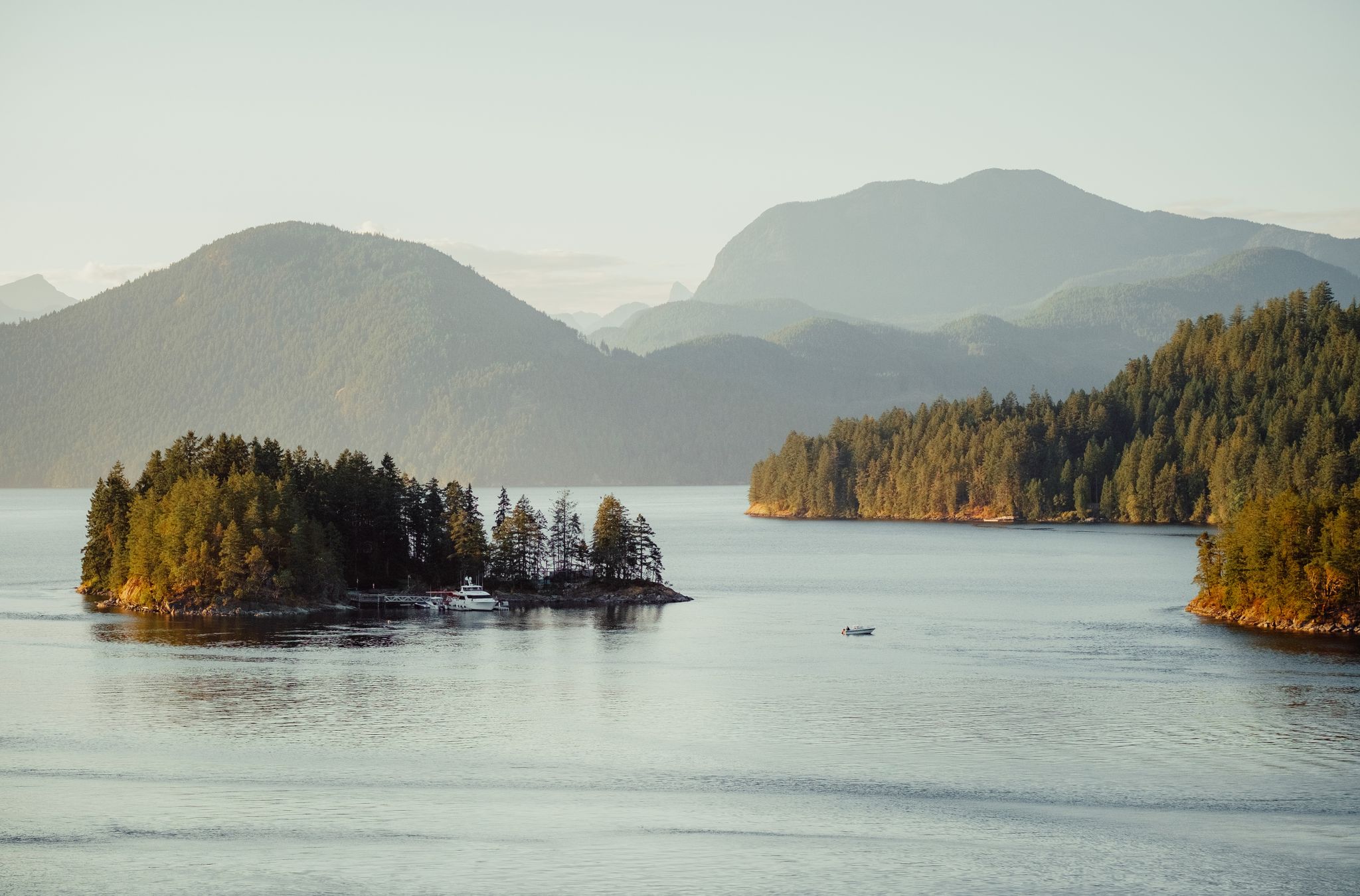
The north summit of Mount Gardner offers one of the clearest viewpoints on the mountain, with open rock slabs overlooking Howe Sound and the surrounding islands. Compared to other viewpoints, it feels more exposed and elevated, with fewer trees blocking the view. The result is a wide, uninterrupted lookout with breathtaking views of the rugged coastline and distant mainland mountains.
0
0
From this scenic spot, you can soak in the view of Keats Island across Howe Sound, where the lush, forested island sits low in the water. This perspective is the perfect vantage point to see the layered inlets and smaller islets, creating a sense of depth rather than a wide panorama. On clear days, the contrast between the dark green shoreline and the sparkling water makes this one of the most impressive viewpoints on the mountain.
0
0

The Lynn Canyon suspension bridge is 40 metres long and was originally built in 1912. It is wide enough for two people to pass each other and is suspended 50 metres above the clear waters of Lynn Creek. The bridge will sway and shake, but take a peek over the edge for a breathtaking view.
1
0
30 Foot Pool is a calm pool with bright blue water. In winter, you might have this pool all to yourself, but in summer, it's a popular place to swim, picnic, and cool off. There's a small beach that is exposed at lower water levels. It's clear, calm water attracts many people there to relax, but you might see some thrill seekers jumping off higher rocks.
1
0
This section of the Baden-Powell Trail runs through Canyon Creek, with full, green forests offering shade, boardwalks through muddy areas, and a well-maintained trail easy to follow. Look up at these moss-covered trees every once in a while to see the amazing heights they reach.
1
0

The Varley Trail is a multi-use trail in North Vancouver consisting of mostly loose gravel. The trail offers plenty of great views as it winds along Lynn Creek.
0
0

A really beautiful place to walk.
3
0
Good information center in the area.
3
0
Frequently Asked Questions
How many waterfall hiking trails are available in Metro Vancouver Regional Parks?
There are 10 dedicated waterfall hiking trails in Metro Vancouver Regional Parks, offering a range of experiences from easy strolls to more challenging routes.
Are there any easy waterfall hikes suitable for beginners or families?
Yes, there are several easy waterfall hikes. For instance, the Lynn Canyon Suspension Bridge – 30 Foot Pool, Lynn Canyon Park loop from Lynn Valley is an easy 6.1 km path exploring the popular Lynn Canyon area. Another accessible option is the Lynn Canyon – Lynn Canyon Suspension Bridge loop from Lynn Canyon Park, a shorter 2.6 km trail through dense forest.
What kind of natural features can I expect to see on these waterfall trails?
Beyond the waterfalls themselves, you'll encounter diverse landscapes. Many trails wind through dense forests, including old-growth coastal forests like those found in Lighthouse Park. You might also experience mountainous terrain, views of the North Shore Mountains, and various aquatic environments such as rivers and placid lakes. The region is known for its unique ecosystems, including significant wetlands.
What do other hikers enjoy most about the waterfall trails in Metro Vancouver Regional Parks?
The trails are highly rated by the komoot community, with an average score of 4.7 stars from over 600 reviews. Hikers often praise the stunning natural beauty, the variety of trail difficulties, and the rewarding views of waterfalls and lush forests.
Are there any circular waterfall walks in the Metro Vancouver Regional Parks?
Yes, many of the waterfall trails are designed as loops. For example, the Killarney Lake Loop Trail is a moderate 7.5 km route that circles Killarney Lake, offering beautiful water and woodland views, and likely includes smaller cascades or falls along its path.
What are some notable landmarks or attractions near the waterfall hiking trails?
Near many of the waterfall trails, you can find various points of interest. These include the iconic Capilano Suspension Bridge, the impressive Kennedy Falls, and the ancient Ancient Cedar Tree in Lynn Headwaters Regional Park. You might also encounter beautiful lakes such as Killarney Lake and Capilano Lake.
Are there any challenging waterfall hikes for experienced hikers?
Yes, for those seeking a more strenuous adventure, there are difficult routes available. The Killarney Lake – View of Howe Sound loop from Bowen Island RCMP is a challenging 15.5 km hike with significant elevation changes, offering expansive views alongside its natural features.
What is the best time of year to visit the waterfalls in Metro Vancouver Regional Parks?
While waterfalls are beautiful year-round, they are often at their most powerful and impressive during the spring snowmelt and after periods of heavy rainfall. Summer offers warmer weather for hiking, and autumn provides stunning fall foliage. Winter hikes can be magical, but trails may be icy or less accessible.
Are there any waterfall trails accessible by public transport?
Many regional parks in Metro Vancouver are accessible by public transport, making it convenient to reach various trailheads. It's advisable to check TransLink's website for specific routes and schedules to the park entrance closest to your chosen waterfall trail.
What should I wear for waterfall hiking in Metro Vancouver Regional Parks?
Given the varied terrain and often damp conditions near waterfalls, it's recommended to wear sturdy, waterproof hiking boots. Layered clothing is ideal to adapt to changing weather, and a waterproof jacket is always a good idea. Depending on the trail, trekking poles can also be helpful for stability.
Are dogs allowed on the waterfall trails in Metro Vancouver Regional Parks?
Dog policies vary by park and specific trail within Metro Vancouver Regional Parks. While many parks are dog-friendly, some areas, especially ecologically sensitive ones or those with wildlife, may have restrictions or require dogs to be on leash. Always check the specific park's regulations before heading out with your canine companion.
Are there any waterfall hikes that offer views of the ocean or coastline?
While not directly adjacent to the ocean, some trails in parks like Belcarra Regional Park offer forest trails with lovely views of the Burrard Inlet, which connects to the ocean. The region's diverse geography means you might find trails that combine forest and mountain views with glimpses of the surrounding waters.
Most popular routes in Metro Vancouver Regional Parks
Most popular attractions in Metro Vancouver Regional Parks

Get inspired with the komoot mobile app


Explore more
Browse the best Hikes in other regions.
