The best family-friendly hikes and walks in Supramonte Di Oliena, Orgosolo E Urzulei - Su Sercone
4.4
(6375)
31,428
hikers
57
hikes
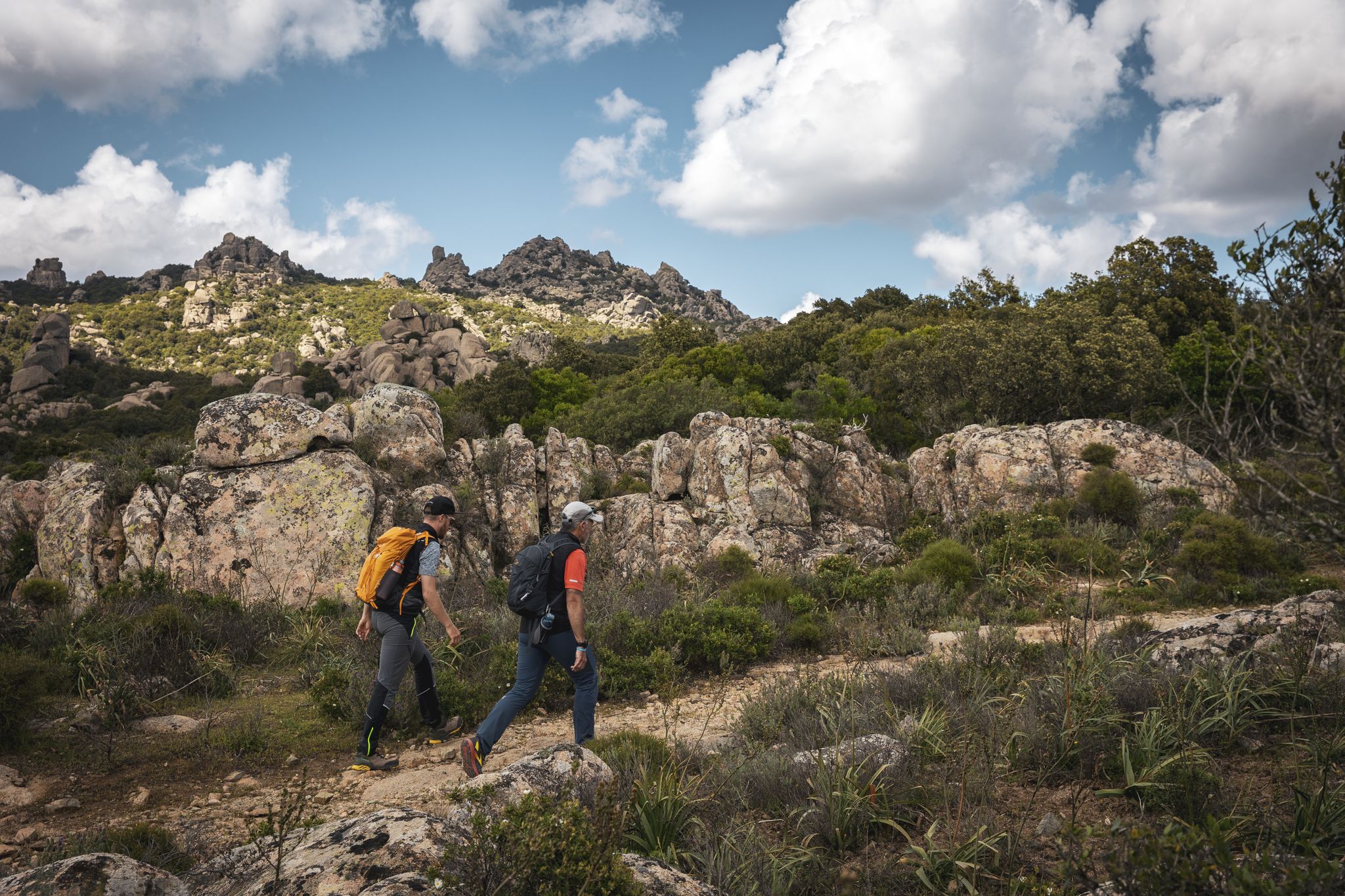
Family friendly hiking trails in Supramonte Di Oliena, Orgosolo E Urzulei - Su Sercone traverse a diverse landscape characterized by vast plateaus, deep gorges, and significant karst formations. The region features numerous peaks, including Monte Corrasi at 1463 meters, alongside primary forests of holm oak and juniper. River Cedrino winds through the valleys, contributing to the varied terrain. This area offers a range of paths suitable for different hiking abilities, from gentle walks to more challenging ascents.
Best family friendly…
Last updated: November 9, 2026
4.6
(5)
24
hikers
Hard hike. Good fitness required. Sure-footedness, sturdy shoes and alpine experience required.
4.8
(234)
1,331
hikers
14.4km
05:57
840m
840m
Hard hike. Very good fitness required. Mostly walkable paths. Sure-footedness required.

4.9
(78)
346
hikers
10.9km
04:27
720m
730m
Moderate hike. Good fitness required. Mostly walkable paths. Sure-footedness required.
4.8
(58)
405
hikers
Moderate hike. Good fitness required. Mostly walkable paths. Sure-footedness required.
4.9
(98)
430
hikers
13.9km
05:48
900m
890m
Hard hike. Very good fitness required. Mostly walkable paths. Sure-footedness required.
Get access to more routes and recommendations from other explorers.
Already have an account?
Our route recommendations are based on thousands of hikes, rides, and runs completed by other people on komoot.
Start today with a free account
Your next adventure awaits.
Popular around Supramonte Di Oliena, Orgosolo E Urzulei - Su Sercone
Other adventures in Supramonte Di Oliena, Orgosolo E Urzulei - Su Sercone

Tips from the Community

On October 4, 2026, we passed by here on a hike and were invited to eat by locals. There were cooked offal with potatoes and onions. Served with Pane Carasau and plenty of wine. This hospitality was unique.
0
0

The Gola Gorropu (Sardinian also Gorropu, Italian Gola di Gorropu) is a gorge in the Supramonte mountains of the island of Sardinia in the municipalities of Urzulei and Orgosolo in the province of Nuoro. With walls up to 500 meters high, it is one of the deepest gorges in Europe. The limestone formation of the gorge was shaped by the water masses of the Riu Fiumineddu river.
1
0


The atmosphere is constantly changing. It's always worth taking a look behind you. There are always climbing opportunities for children.
0
0
After the moderately challenging climb, the landscape opens up to the plateau. Simply beautiful. We had a picnic here and watched the sheep grazing, their bells ringing.
0
0
The concrete road is no longer continuous on the way here. We didn't want to put too much strain on the rental car and parked further down.
0
0

Not far from the entrance to the gorge, there's a constantly bubbling drinking water spring. Very helpful for the hike back!
2
0
There are always bathing spots that can be reached from the path.
0
0
Frequently Asked Questions
How many family-friendly hiking trails are available in Supramonte Di Oliena, Orgosolo E Urzulei - Su Sercone?
The region offers a good selection of family-friendly options, with 7 easy trails and 25 moderate trails. In total, there are over 30 routes that are generally suitable for families, depending on their experience and the age of the children.
What kind of terrain can families expect on hikes in this region?
Families can expect a diverse landscape, from vast plateaus and primary forests of holm oak and juniper to typical Mediterranean scrub. Some trails might lead through rocky areas or offer views into dramatic features like sinkholes and gorges. The trails vary, so checking the specific route details is always recommended.
Are there any easy circular routes suitable for families?
Yes, there are several circular routes that are suitable for families. For example, the Silana Bar – Abandoned Van loop from Passo di Genna Silana is a moderate circular hike that offers varied scenery and is a good option for families looking for a rewarding day out.
What natural attractions can we see on family hikes?
Many trails offer access to stunning natural features. You might encounter the impressive Gorropu Gorge, known as one of Europe's deepest canyons, or enjoy panoramic views from areas around Monte Corrasi Summit. The region is also home to the massive Su Sercone sinkhole, a truly unique natural monument.
Are there any historical sites accessible for families?
Absolutely. The region is rich in history. A notable site is the Nuragic Village of Tiscali, an ancient archaeological site nestled within a cave-like depression. While the trail to Tiscali requires some effort, it combines historical interest with scenic hiking, making it a memorable family excursion. You can also explore fascinating caves like Sa Curtigia de Tiscali Cave or Corbeddu Cave.
Is the region suitable for hiking with young children or toddlers?
While some trails can be challenging, there are 7 easy routes specifically identified as suitable for less experienced hikers or those with young children. These often feature gentler gradients and shorter distances. Always check the route's difficulty and length before heading out with toddlers.
Can we bring our dog on these trails?
Many trails in the Supramonte region are dog-friendly, allowing you to enjoy the natural beauty with your canine companion. However, it's always best to keep dogs on a leash, especially in areas with wildlife or near livestock, and to check specific trail regulations as some protected areas might have restrictions.
What is the best time of year for family hiking in this region?
Spring (April-June) and autumn (September-October) are generally the best times for family hiking. The weather is milder, and the landscapes are vibrant with wildflowers in spring or rich with autumn colors. Summer can be very hot, making early morning or late afternoon hikes preferable, and winter can bring colder temperatures and occasional snow at higher elevations.
What should we wear for family hikes, especially in summer?
For summer hikes, lightweight, breathable clothing is essential. Long sleeves and trousers can protect against sun and scratches from vegetation. Always wear sturdy hiking shoes, bring plenty of water, sun protection (hat, sunglasses, sunscreen), and consider insect repellent. Layers are advisable for spring and autumn to adapt to changing temperatures.
Are there places to eat or get refreshments near the trails?
While the Supramonte is a wild area, you'll find small villages and towns nearby, such as Oliena and Orgosolo, where you can find cafes, restaurants, and shops to stock up on supplies or enjoy a meal after your hike. It's always a good idea to pack snacks and sufficient water, especially for longer routes.
Where can we find parking for family-friendly trailheads?
Parking availability varies by trailhead. Many popular starting points, especially for well-known routes like those leading to Gorropu Gorge or Tiscali, have designated parking areas. For instance, the Sa Barva Parking Area is a starting point for a moderate loop. It's advisable to check the specific route details on komoot for information on parking at the trailhead.
Are there any trails that offer views of water or opportunities for wild swimming?
The River Cedrino, the fifth-longest river in Sardinia, originates in the Supramonte and winds through the valleys, offering picturesque riverine landscapes. While specific wild swimming spots are not always marked, some trails may lead to river access points. Always exercise caution and check local regulations if considering swimming in natural waters.
What do other hikers enjoy the most about hiking in Supramonte Di Oliena, Orgosolo E Urzulei - Su Sercone?
The area is highly rated by the komoot community, with an average score of 4.4 stars. Reviewers often praise the dramatic and untouched landscapes, the sense of adventure, and the opportunity to discover unique natural monuments and ancient historical sites. The variety of trails, from challenging to more relaxed, is also frequently highlighted.
Most popular routes in Supramonte Di Oliena, Orgosolo E Urzulei - Su Sercone
Most popular attractions in Supramonte Di Oliena, Orgosolo E Urzulei - Su Sercone

Get inspired with the komoot mobile app


Explore more
Browse the best Hikes in other regions.
