The best hikes from bus stations in Untere Allerniederung Im Landkreis Verden
4.5
(2063)
6,636
hikers
571
hikes
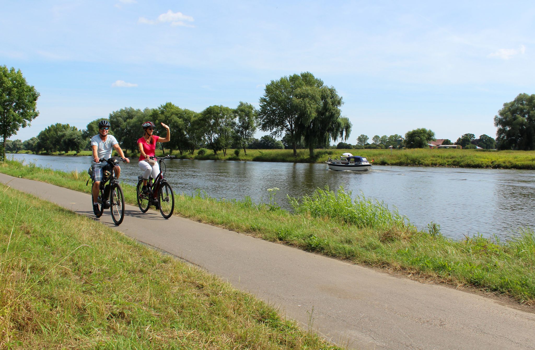
Bus station hiking trails in Untere Allerniederung Im Landkreis Verden traverse a diverse natural landscape centered around the Aller river and its floodplain. This region features riverine habitats, extensive floodplain grasslands, and numerous oxbow lakes. The terrain is generally flat, with slight elevations in sandier areas where mixed oak and hornbeam forests can be found. The area is characterized by its near-natural river course, diverse riparian vegetation, and open meadows.
Best bus station hiking trails in Untere Allerniederung Im Landkreis…
Last updated: November 8, 2026
4.4
(19)
44
hikers
Moderate hike. Good fitness required. Easily walkable paths.
4.7
(10)
32
hikers
5.77km
01:29
30m
30m
Easy hike. Easily walkable paths.

4.7
(6)
34
hikers
7.94km
02:02
30m
30m
Moderate hike. Good fitness required. Easily walkable paths.
4.0
(2)
10
hikers
Moderate hike. Good fitness required. Easily walkable paths.
4.0
(2)
10
hikers
Moderate hike. Good fitness required. Easily walkable paths.
Get access to more routes and recommendations from other explorers.
Already have an account?
Our route recommendations are based on thousands of hikes, rides, and runs completed by other people on komoot.
Start today with a free account
Your next adventure awaits.
Other adventures in Untere Allerniederung Im Landkreis Verden


Tips from the Community

Storks have built nests on every surrounding rooftop, in trees, and in the craziest places. Many storks that were originally in care keep coming back. Their descendants are also settling in the area.
0
0

The stork care center is a wonderful institution, where sick, injured, or otherwise in need of care are cared for. The beginnings of a stork care center in the Verden district date back to the 1960s. Back then, Helmut and Gerda Storch were committed to protecting the white stork. Since 2006, the center has been maintained by the Association for the Protection of the White Stork in the Verden District, which was founded specifically for this purpose. When the storks are healthy again, they are released back into the wild in late summer to allow them to fly with the other storks in the region to their winter quarters. A visit is worthwhile, as you can get very close to the birds and observe them well. I'm always happy to see them, as they are wonderful birds.
1
0
The foundation stone was laid in 1934 by the Nazi Reich leadership, who intended to establish a national assembly and memorial site here. The historical background to this was the legend that 4,500 Saxons were killed by the Frankish King Charles (who later called himself Charlemagne). Since there are no reliable records, legends surround the so-called "Verden Blood Court." The buildings and grounds at that time were used for training courses for the SS and the Hitler Youth, and later housed refugees. Since 1950, the site has been used by the Protestant Youth. It offers space for up to 126 guests, who can be accommodated in four guest houses and two apartments. Information panels are available that provide detailed information about the site's history and present. Further information, for example, can be found at: https://ejh-sachsenhain.de/index.html
1
0

Pretty stream in the forest, a welcome shady spot when the sun is shining.
0
0

Beautiful view of the meadows with storks.
0
0
Beautiful Evangelical Youth Center at Sachsenhain.
0
0
Beautiful Sachsenhain near Verden.
0
0
Beautiful hiking trail at Sachsenhain.
0
0
Frequently Asked Questions
How many bus-accessible hiking trails are available in Untere Allerniederung Im Landkreis Verden?
There are over 590 hiking trails in Untere Allerniederung Im Landkreis Verden that are accessible from bus stations. This includes a wide variety of routes suitable for different preferences and fitness levels.
What kind of terrain can I expect on bus-accessible hikes in this region?
The bus-accessible trails in Untere Allerniederung Im Landkreis Verden primarily feature the diverse landscapes of the Aller river and its floodplain. You can expect to traverse extensive floodplain grasslands, encounter oxbow lakes, and walk through areas with willow bushes, riparian reeds, and near-natural riparian forests. Some slightly higher, sandier sections may also feature mixed oak and hornbeam forests.
Are there easy bus-accessible hiking options for beginners or casual walkers?
Yes, the region offers a significant number of easy bus-accessible hikes. Approximately 381 routes are classified as easy, making them ideal for beginners, families, or those looking for a relaxed stroll. An example of an easy route is the In the Sand Hills – Eitzer School loop from Mars, which is just under 6 km long.
What are some notable natural features or wildlife I might encounter?
Hikers can enjoy the Aller river and its extensive floodplain, which are home to diverse habitats. Look out for oxbow lakes, various types of grasslands, and riparian forests. The area is a vital habitat for many breeding bird species, including white storks and skylarks. During autumn and winter, it becomes a significant resting ground for migratory birds. You might also spot water buffalo and horses grazing in the meadows along the Aller.
Are there any viewpoints along the bus station hiking trails?
Yes, several routes offer scenic viewpoints. You can find vistas such as the View of Verden and its cathedral, which provides a unique perspective of the historic town. Another notable spot is the View of Verden and the Aller Meadows, offering extensive views over the landscape.
Can I find circular bus-accessible routes in Untere Allerniederung Im Landkreis Verden?
Many of the bus-accessible trails are designed as circular routes, allowing you to start and end your hike at the same bus stop without needing to arrange return transport. For example, the St. Anne's Church, Westen – View of the Aller River loop from Westen is a moderate circular hike of about 9.4 km.
Are the bus station hiking trails suitable for families with children?
Absolutely. The region is known for offering child-friendly excursions and family-friendly experiences. With many easy and moderate routes, families can find suitable options. The varied landscapes, including grasslands and river views, provide an engaging environment for children to explore.
What is the best time of year to go hiking from bus stations in this region?
The Untere Allerniederung Im Landkreis Verden is beautiful throughout the year. Spring and summer offer lush green landscapes and active wildlife, while autumn brings vibrant colors. Winter, especially during floods, transforms the Allerniederung into a significant resting ground for migratory birds, offering unique birdwatching opportunities. The trails are generally accessible year-round, though conditions may vary with weather.
What do other hikers enjoy most about hiking in Untere Allerniederung Im Landkreis Verden?
The area is highly rated by the komoot community, with an average score of 4.55 stars. Reviewers often praise the tranquil riverine landscapes, the well-maintained paths through diverse habitats, and the opportunity to combine nature exploration with cultural sights in nearby towns like Verden.
Are there any longer or more challenging bus-accessible hikes available?
While the majority of routes are easy to moderate, there are some longer and slightly more challenging options. Approximately 201 routes are classified as moderate, and 8 routes are considered difficult. These routes might feature longer distances or slightly more varied terrain. An example of a moderate route is the Historic Fire Wagon – Aller Ferry Otersen–Wehlen loop from Untere Allerniederung im Landkreis Verden, covering about 9 km.
Can I bring my dog on these bus-accessible hiking trails?
Generally, dogs are welcome on hiking trails in the region. However, as the area is a protected natural environment with significant wildlife, it is crucial to keep your dog on a leash, especially in sensitive areas, during breeding seasons, or when near grazing animals like water buffalo and horses. Always follow local signage and regulations regarding dogs.
Most popular routes in Untere Allerniederung Im Landkreis Verden
Most popular attractions in Untere Allerniederung Im Landkreis Verden

Get inspired with the komoot mobile app


Explore more
Browse the best Hikes in other regions.
