The best MTB trails in Untere Allerniederung Im Landkreis Verden
4.7
(123)
406
riders
112
rides
Mountain bike trails in Untere Allerniederung Im Landkreis Verden traverse a distinctive natural landscape shaped by the Aller river. This region features riparian shrubbery, extensive floodplain grasslands, and diverse forest types including oak and hornbeam mixed forests in higher, sandier areas. The varied topography provides a dynamic environment for mountain biking, with routes often following the river's meandering course. The area is designated as a nature and landscape protection area, offering scenic views and a connection with nature.
Best mountain…
Last updated: November 1, 2026
4.0
(2)
5
riders
46.3km
02:57
160m
160m
Moderate mountain bike ride. Good fitness required. Advanced riding skills necessary.
7
riders
27.7km
01:28
50m
50m
Easy mountain bike ride.

4.5
(2)
2
riders
24.1km
01:14
40m
40m
Easy mountain bike ride.
4.7
(3)
26
riders
83.5km
04:43
210m
210m
Moderate mountain bike ride. Good fitness required. Advanced riding skills necessary.
4.0
(4)
14
riders
37.1km
02:31
130m
130m
Moderate mountain bike ride. Good fitness required. Advanced riding skills necessary.
Get access to more routes and recommendations from other explorers.
Already have an account?
Our route recommendations are based on thousands of hikes, rides, and runs completed by other people on komoot.
Start today with a free account
Your next adventure awaits.
Popular around Untere Allerniederung Im Landkreis Verden
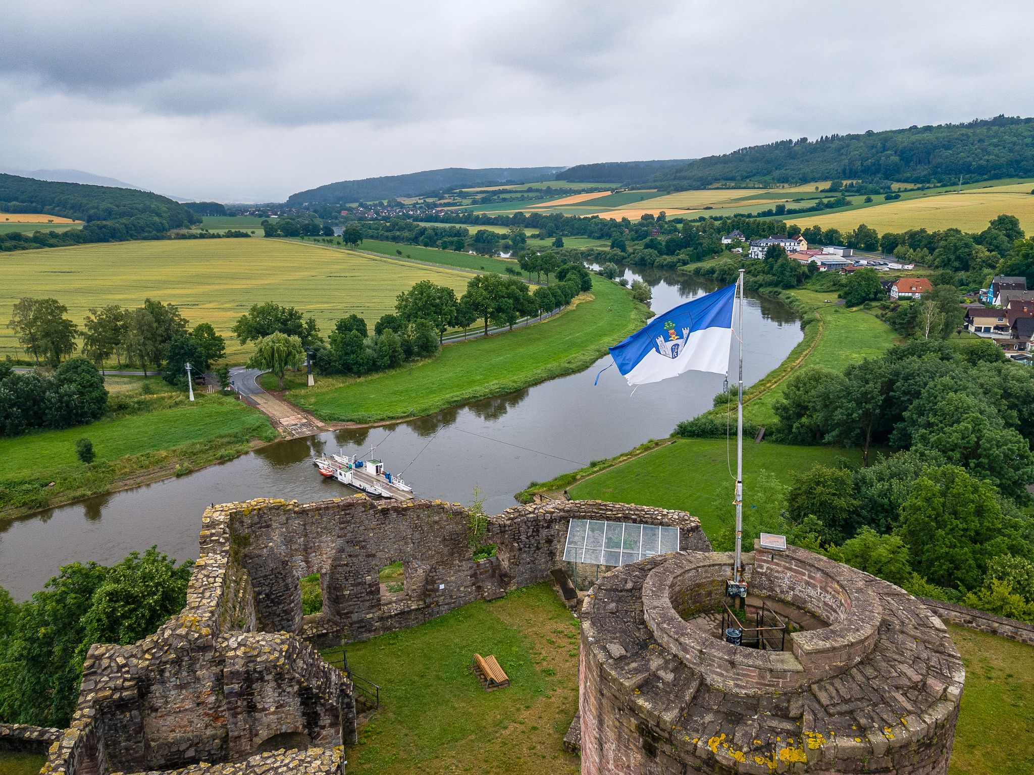
Along the Weser to the sea – Weser Cycle Route alternative route
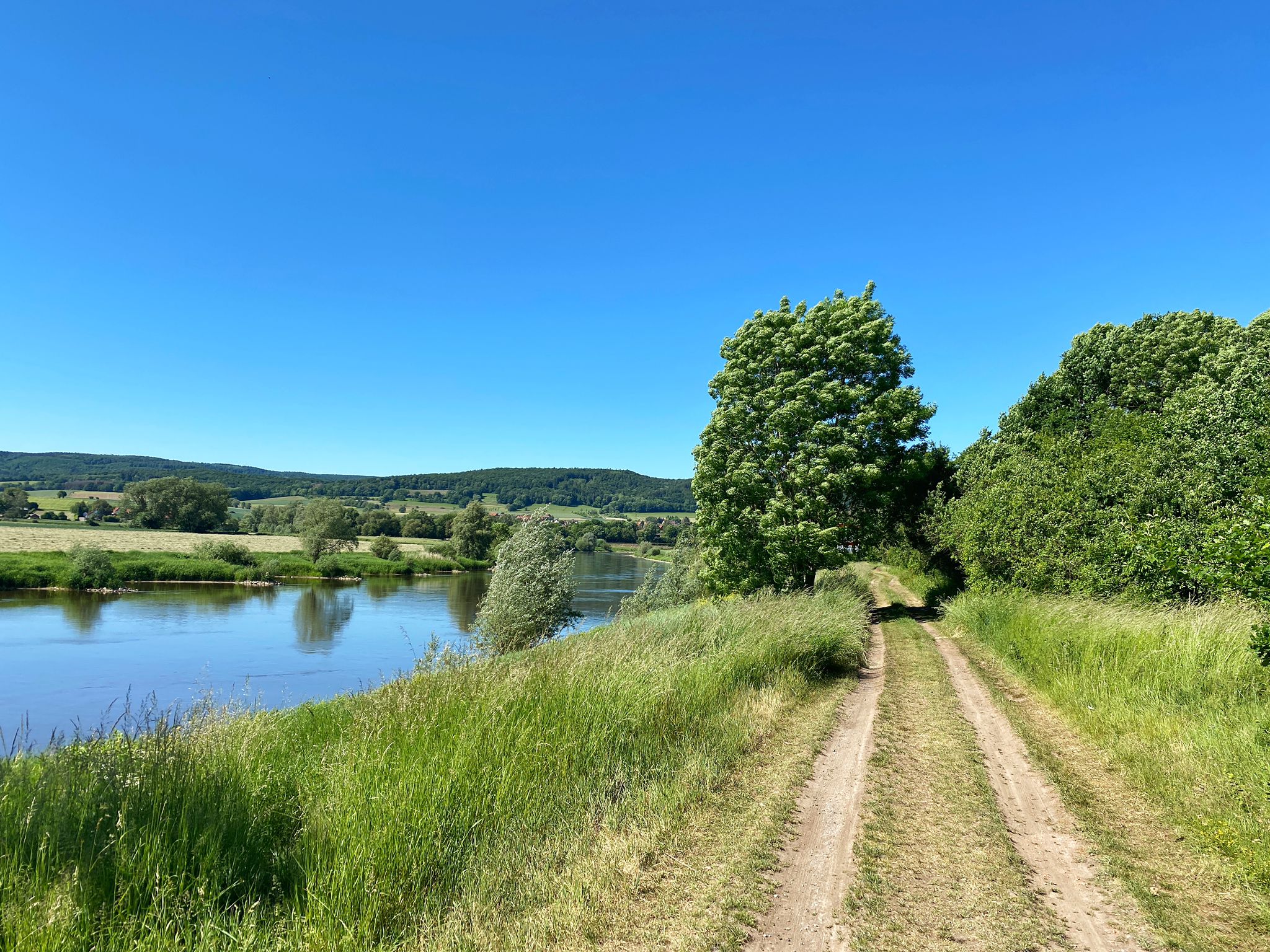
D:Route 9: Weser - Romantic Route
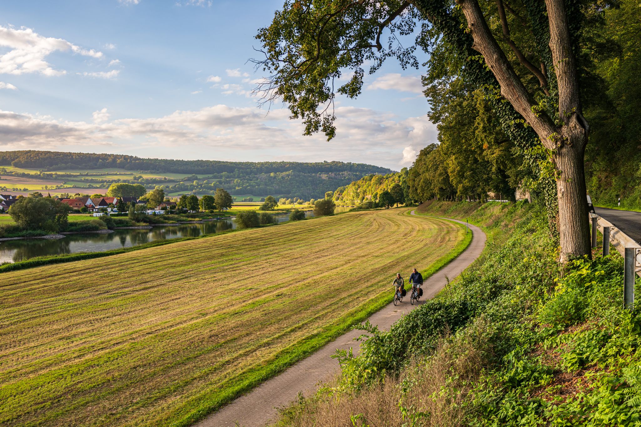
Weser Cycle Route – the Weser Uplands to the German North Sea Coast
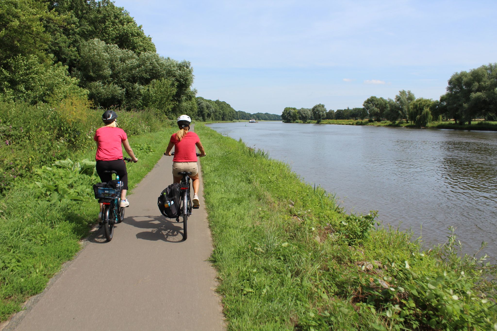
Tagestouren an Weser und Aller
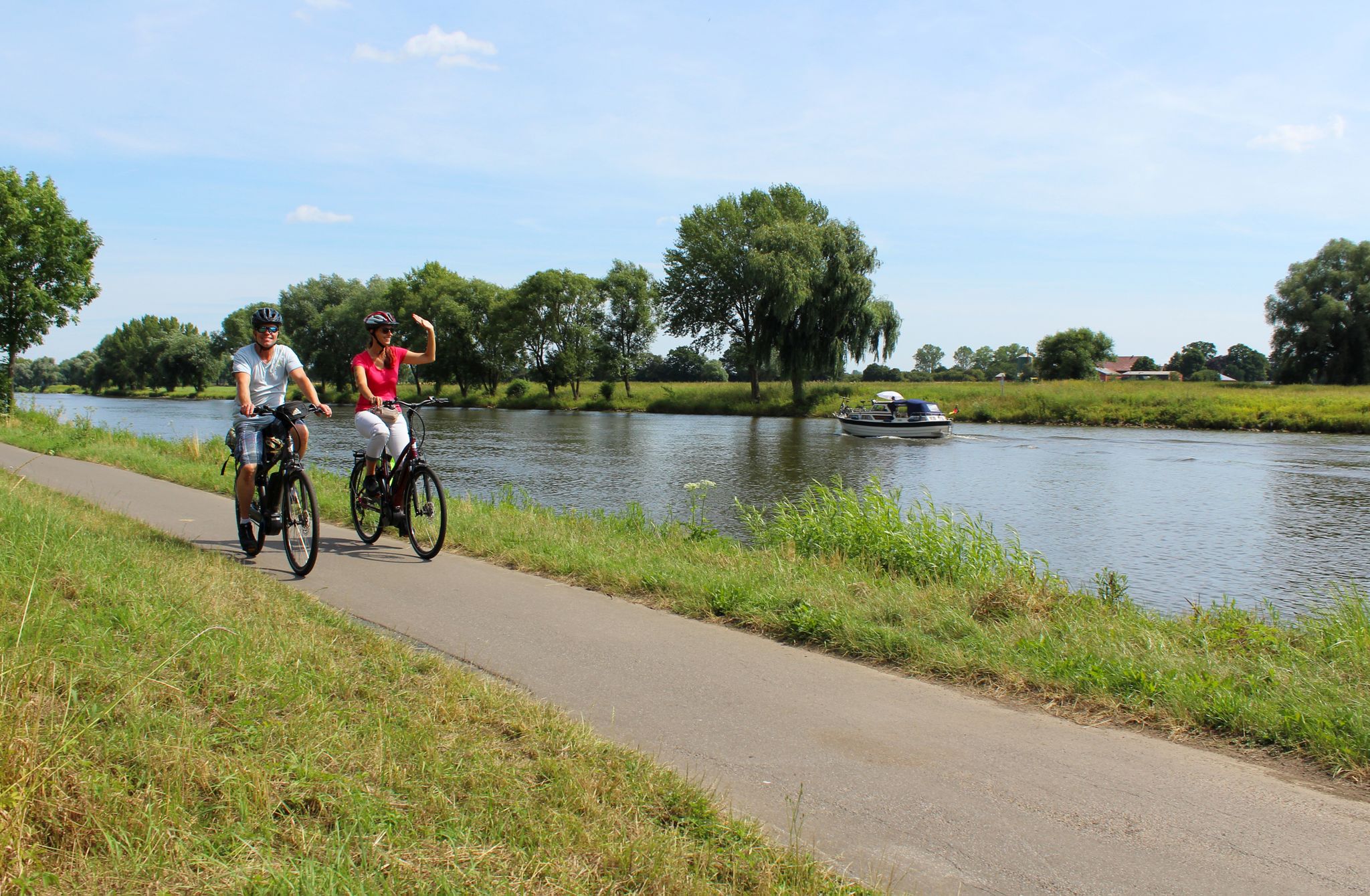
Radtouren in der Mittelweser-Region
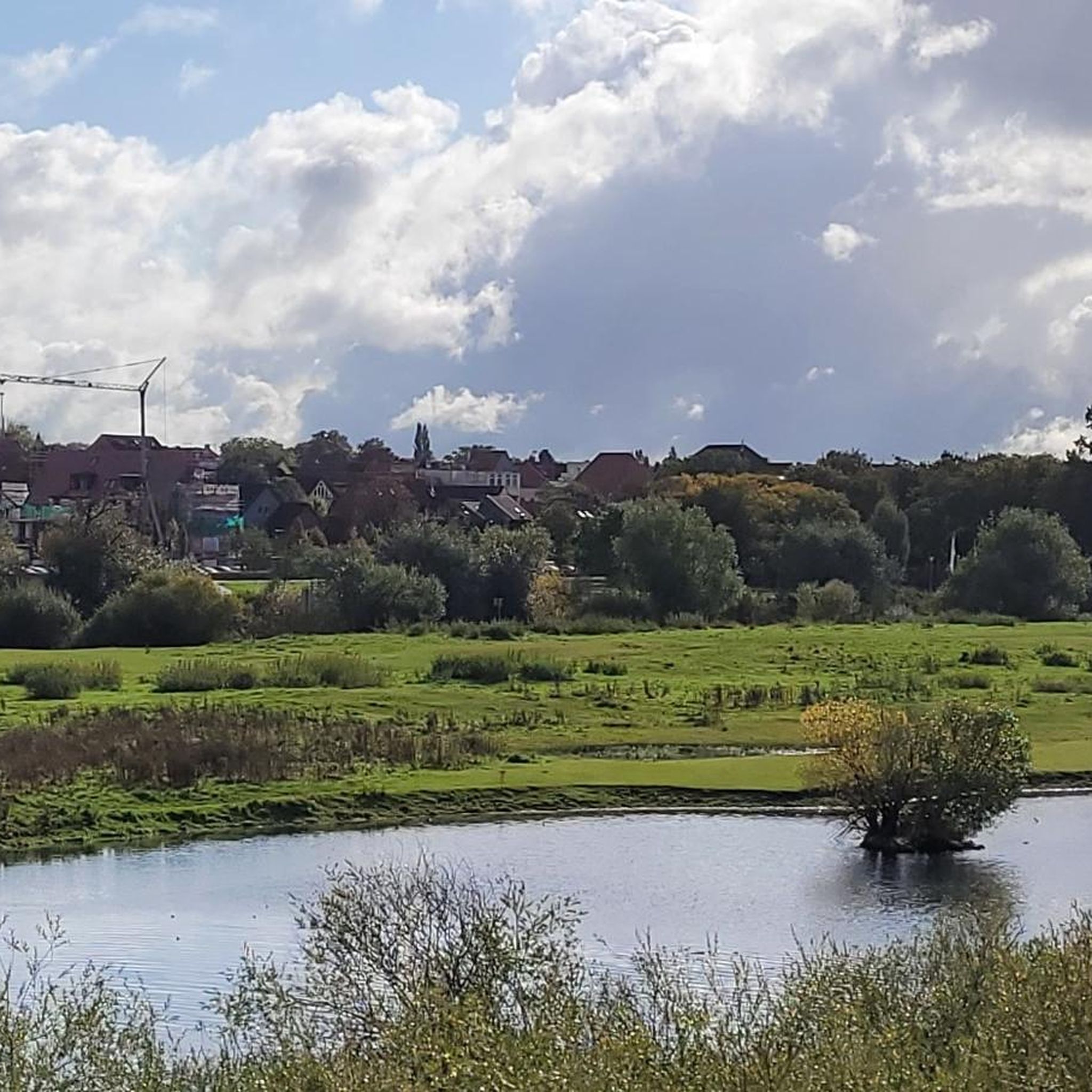
Cycling in Untere Allerniederung Im Landkreis Verden
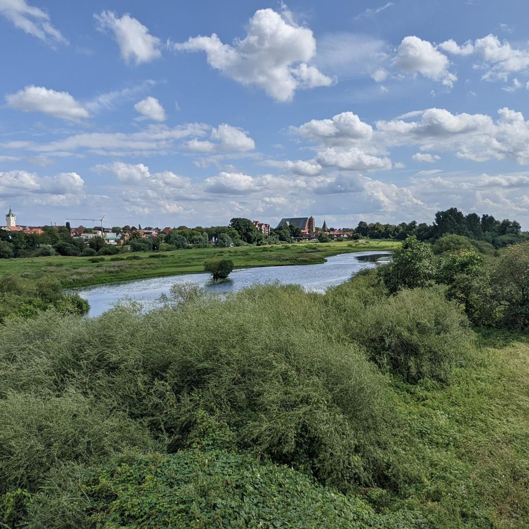
Road Cycling Routes in Untere Allerniederung Im Landkreis Verden
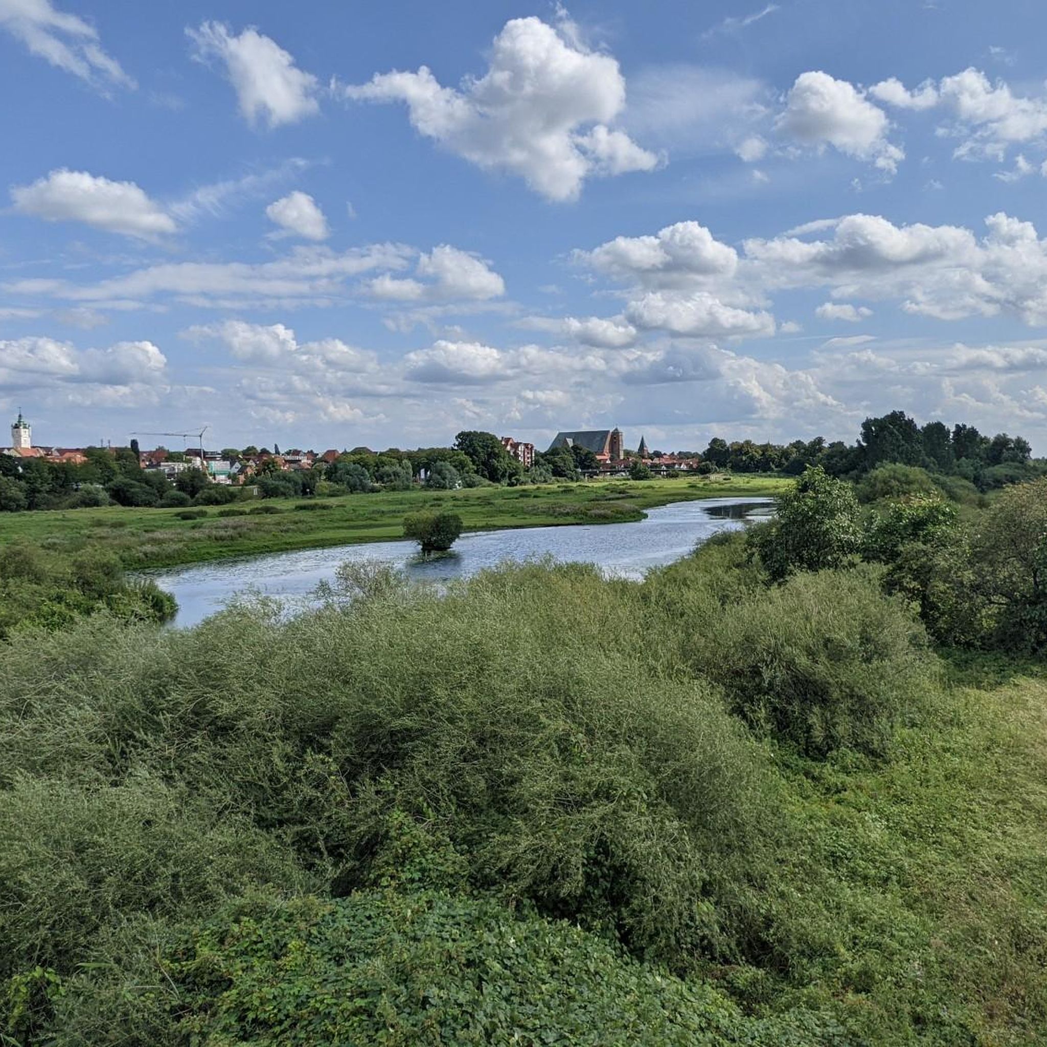
Hiking in Untere Allerniederung Im Landkreis Verden

Running Trails in Untere Allerniederung Im Landkreis Verden

Gravel biking in Untere Allerniederung Im Landkreis Verden
Other adventures in Untere Allerniederung Im Landkreis Verden


Tips from the Community

I loved them back in my childhood! There used to be a toy shop very close by. Otherwise, some gadgets and optical illusion elements are scattered around the city center. A stroll is worth it even with the increasing number of vacant shops.
0
0

Very beautiful view of the Weser.
0
0
Beautiful view of the Weser bend near Baden.
0
0
The Ackerbürgerhaus is a very beautiful half-timbered house in Verden.
0
0
Beautiful old piece of Verden's city wall.
2
0
Beautiful piece of the old city wall.
1
0
Very nice view of the Verden cathedral.
0
0

Frequently Asked Questions
How many mountain bike trails are available in Untere Allerniederung Im Landkreis Verden?
There are over 130 mountain bike routes in the Untere Allerniederung Im Landkreis Verden region. These include a diverse range of trails, with 32 easy, 79 moderate, and 24 difficult options, ensuring there's something for every skill level.
What kind of terrain can I expect on mountain bike trails in this region?
The terrain in Untere Allerniederung Im Landkreis Verden is shaped by the Aller river, offering a dynamic mix. You'll find paths through open meadow and pasture landscapes, often subject to flooding, alongside riparian shrubbery, natural floodplain forests, and higher, sandier areas with oak and hornbeam mixed forests. This variety provides engaging riding experiences.
Are there any easy mountain bike routes suitable for beginners or families?
Yes, the region offers 32 easy mountain bike routes. An excellent option for a more relaxed ride is the View of the Alte Aller – St. Johannis Church (Verden) loop from Mars, an easy 28.3 km path that provides scenic views of the Alte Aller and passes historical landmarks.
What are some of the natural features or landmarks I can see while mountain biking?
The trails often follow the Aller river's meandering course, passing through natural floodplain forests, willow bushes, and extensive floodplain grasslands. You can also discover highlights such as the View of Verden and its cathedral, the historic Verden — Old Town and Cathedral, or cross the New Aller Bridge Pedestrian and Cycle Path.
Are there any longer, more challenging mountain bike tours in the area?
For those seeking a longer challenge, the region has 24 difficult routes. A notable moderate option, covering a significant distance, is the Weser Bend Near Achim – Wehrpromenade Bremen loop from Verden (Aller), which spans approximately 83.4 km.
What do other mountain bikers say about the trails in Untere Allerniederung Im Landkreis Verden?
The mountain bike trails in this region are highly rated by the komoot community, with an average score of 4.7 stars from over 100 reviews. Many riders appreciate the varied terrain, from open grasslands to mixed forests, and the scenic beauty of the Aller river floodplain.
Is the region suitable for mountain biking year-round, or are there specific seasons to consider?
The largely open meadow and pasture landscape is frequently subject to flooding, especially during autumn and winter. While this creates crucial resting grounds for migratory birds, it can impact trail conditions. Spring and summer generally offer drier, more accessible conditions for mountain biking, allowing for better enjoyment of the diverse terrain.
Are there any circular mountain bike routes available?
Yes, many routes in the region are designed as loops. For example, the moderate Verdener City Forest – Kirchlinteln Barrow Heath loop from Mars is a 46.2 km trail exploring forested areas and open heathland, perfect for a circular ride.
Can I expect to see wildlife while mountain biking in this area?
Absolutely. As a nature and landscape protection area, the Untere Allerniederung is rich in wildlife. The grasslands are home to numerous bird species, including the white stork and whinchat. During autumn and winter, the Allerniederung becomes a significant resting ground for migratory birds, offering excellent opportunities for birdwatching.
Are there any routes that pass through dense woodlands?
Yes, the region features areas with dense woodlands, particularly in higher, sandier areas with oak and hornbeam mixed forests. A good example is the difficult Verdener City Forest – Verdener City Forest loop from Mars, a 27.7 km trail that leads through these dense woodlands.
What is the longest mountain bike trail in the Untere Allerniederung Im Landkreis Verden?
One of the longest routes available is the moderate Weser Bend Near Achim – Wehrpromenade Bremen loop from Verden (Aller), which stretches for approximately 83.4 km, offering an extensive ride through varied landscapes.
Most popular routes in Untere Allerniederung Im Landkreis Verden
Most popular attractions in Untere Allerniederung Im Landkreis Verden

Get inspired with the komoot mobile app


Explore more
Browse the best MTB trails in other regions.
