The best gravel rides in Untere Allerniederung Im Landkreis Verden
4.4
(18)
83
riders
20
rides
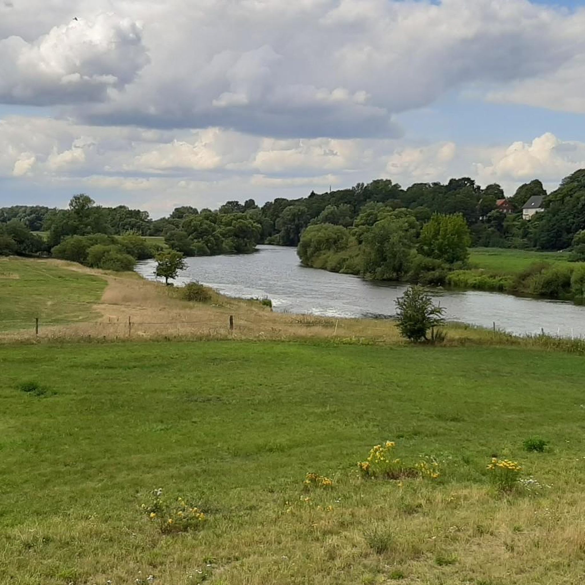
Gravel biking in Untere Allerniederung Im Landkreis Verden is characterized by its flat and varied terrain, shaped by the Aller river and its extensive floodplain. This protected natural area features riverine habitats, floodplain grasslands, and oxbow lakes. The landscape includes a mix of open meadows, pastures, willow bushes, and wooded sections, providing diverse environments for gravel bike trails. Higher, sandier areas also feature oak and hornbeam mixed forests, contributing to the region's varied riding surfaces.
Best gravel bike trails in…
Last updated: November 3, 2026
5.0
(2)
7
riders
44.8km
02:49
150m
150m
Moderate gravel ride. Good fitness required. Mostly paved surfaces.
4.5
(2)
9
riders
Moderate gravel ride. Good fitness required. Mostly paved surfaces.

4.8
(9)
34
riders
41.5km
02:15
80m
80m
Moderate gravel ride. Good fitness required. Mostly paved surfaces.
5.0
(1)
16
riders
57.2km
03:09
140m
140m
Moderate gravel ride. Good fitness required. Mostly paved surfaces.
3
riders
Hard gravel ride. Good fitness required. You may need to push your bike for some segments of this route.
Get access to more routes and recommendations from other explorers.
Already have an account?
Our route recommendations are based on thousands of hikes, rides, and runs completed by other people on komoot.
Start today with a free account
Your next adventure awaits.
Popular around Untere Allerniederung Im Landkreis Verden
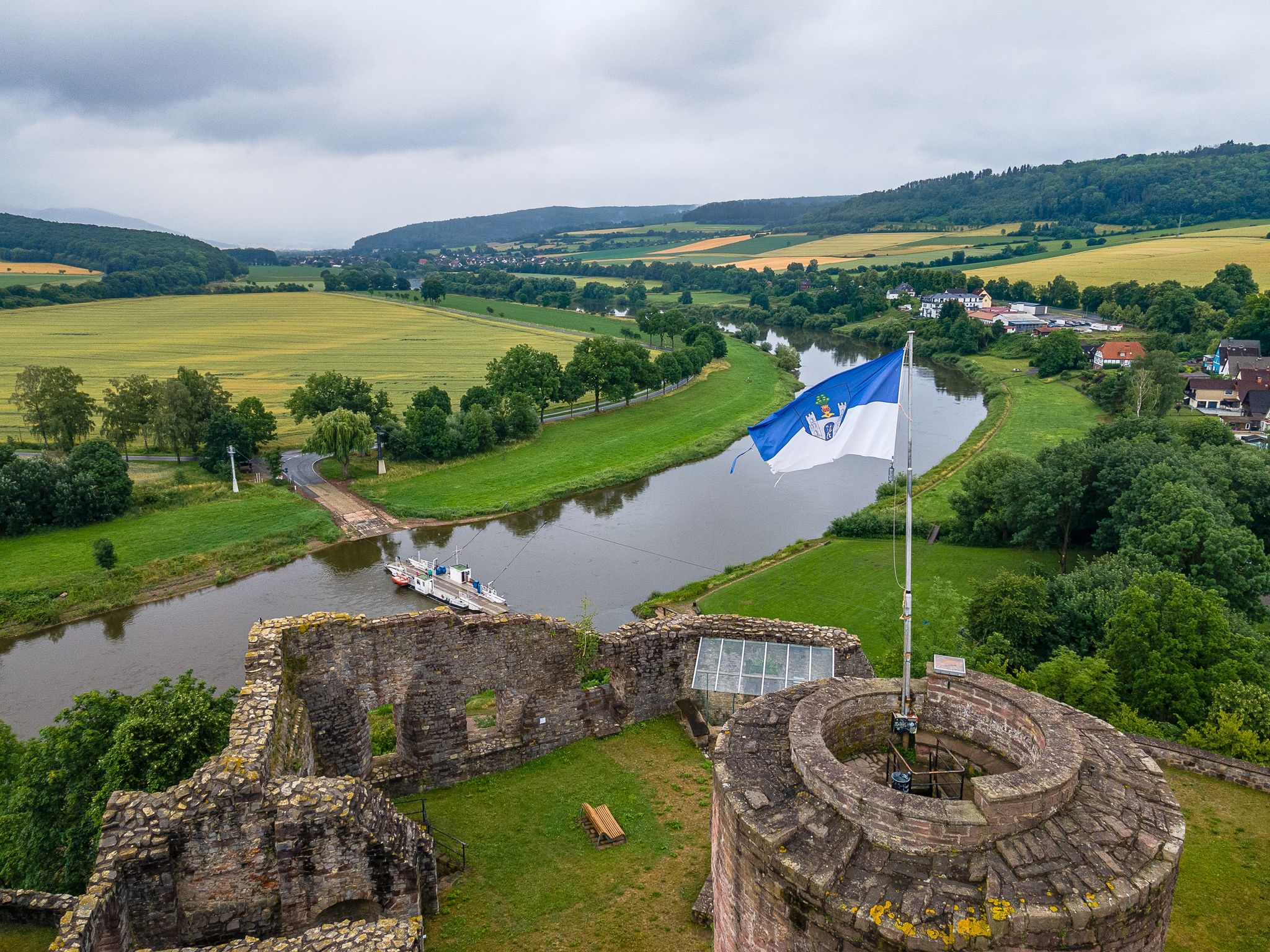
Along the Weser to the sea – Weser Cycle Route alternative route
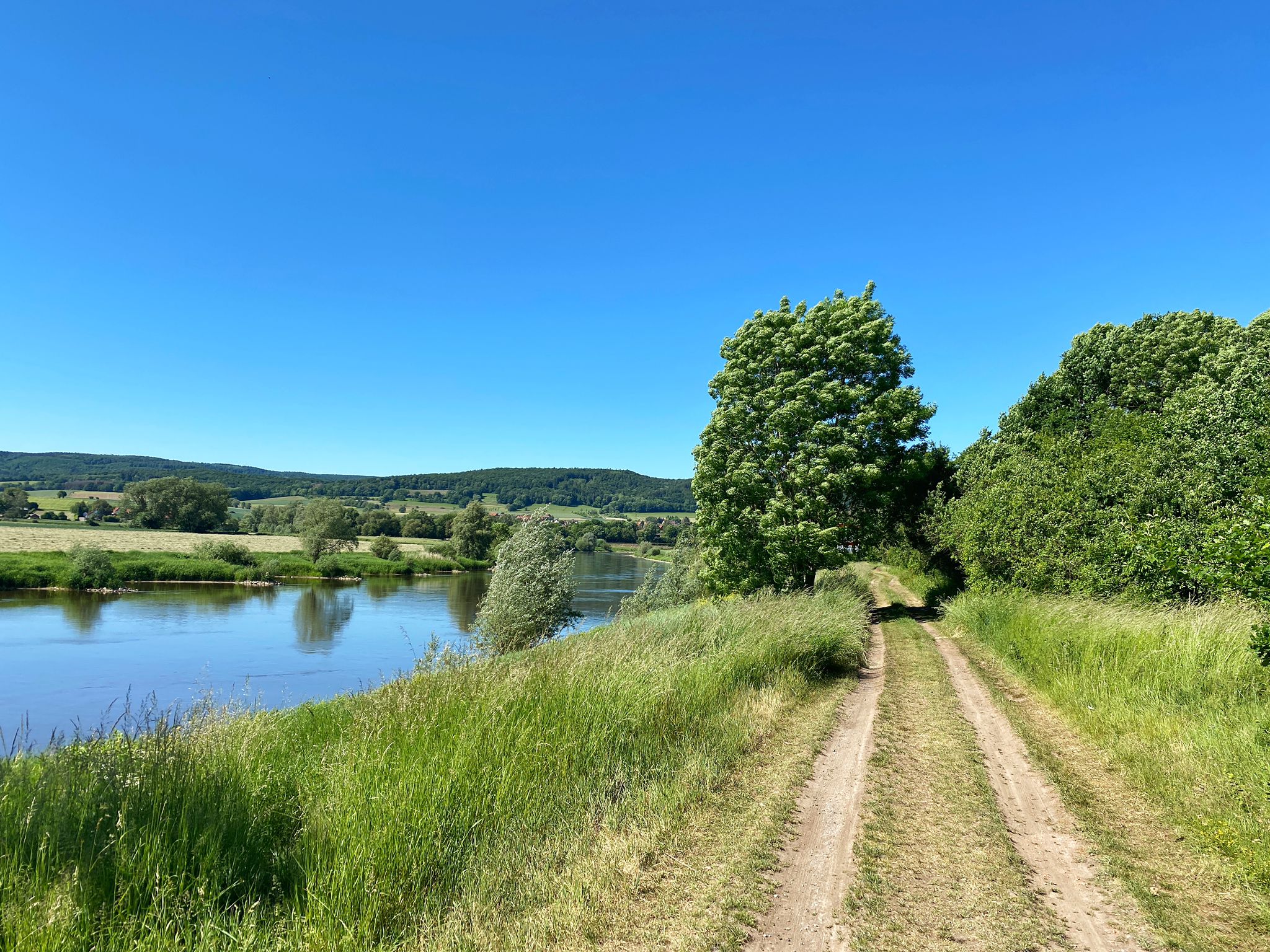
D:Route 9: Weser - Romantic Route
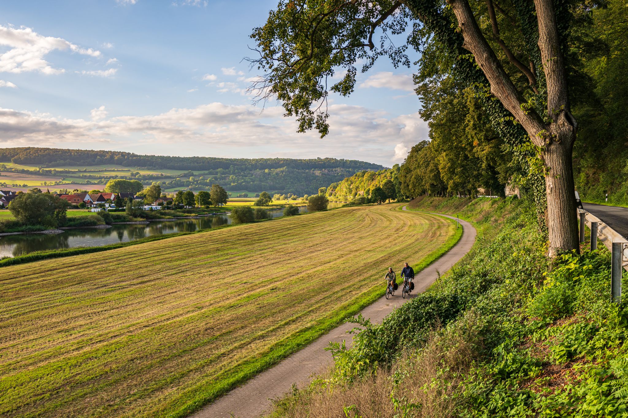
Weser Cycle Route – the Weser Uplands to the German North Sea Coast
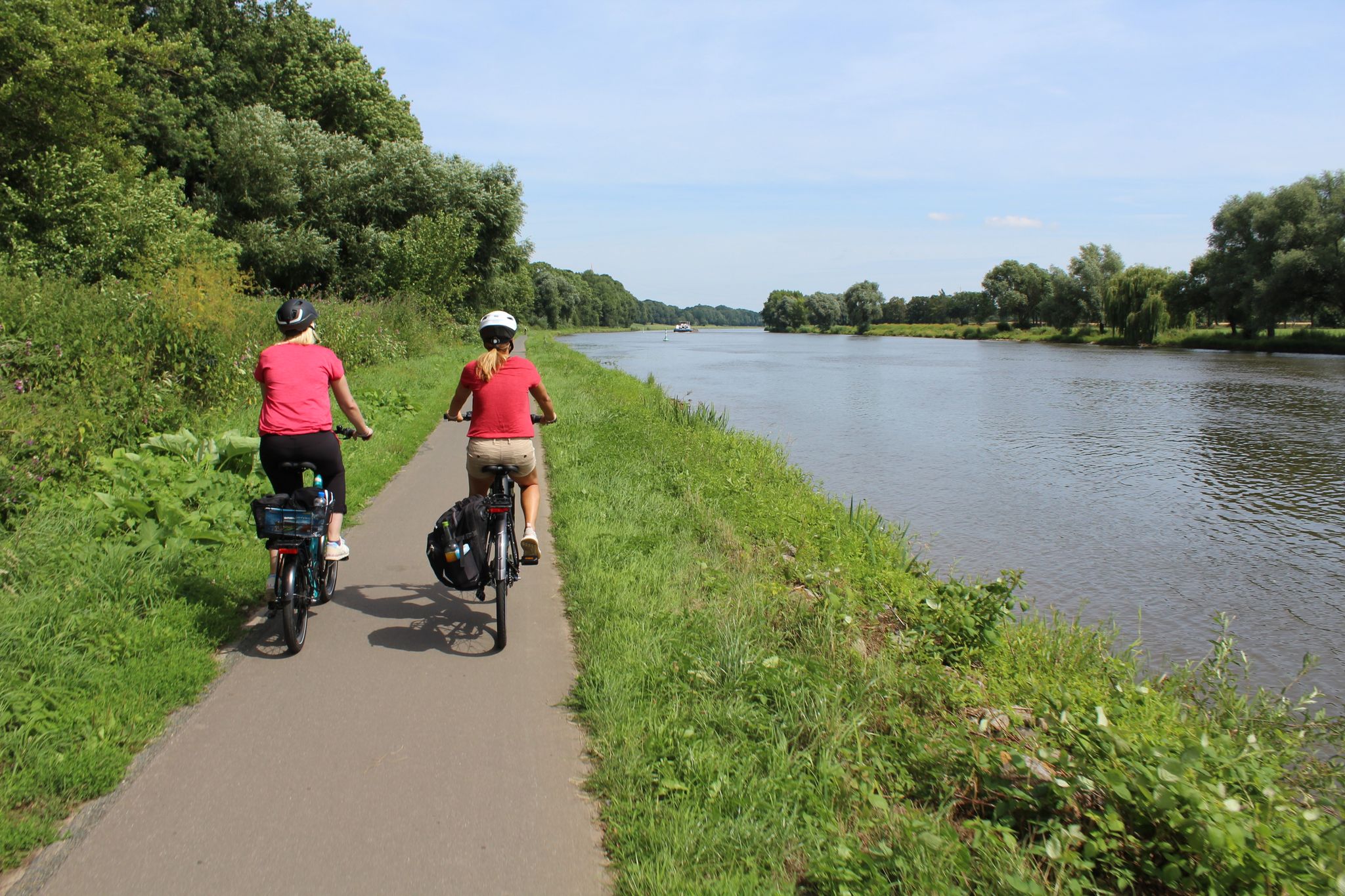
Tagestouren an Weser und Aller
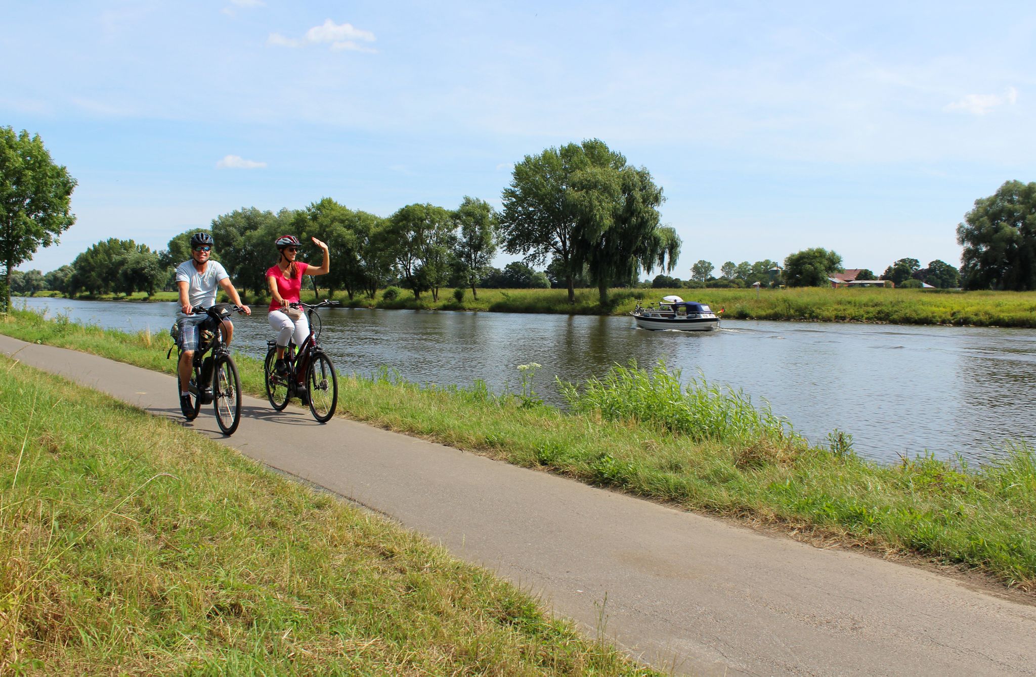
Radtouren in der Mittelweser-Region
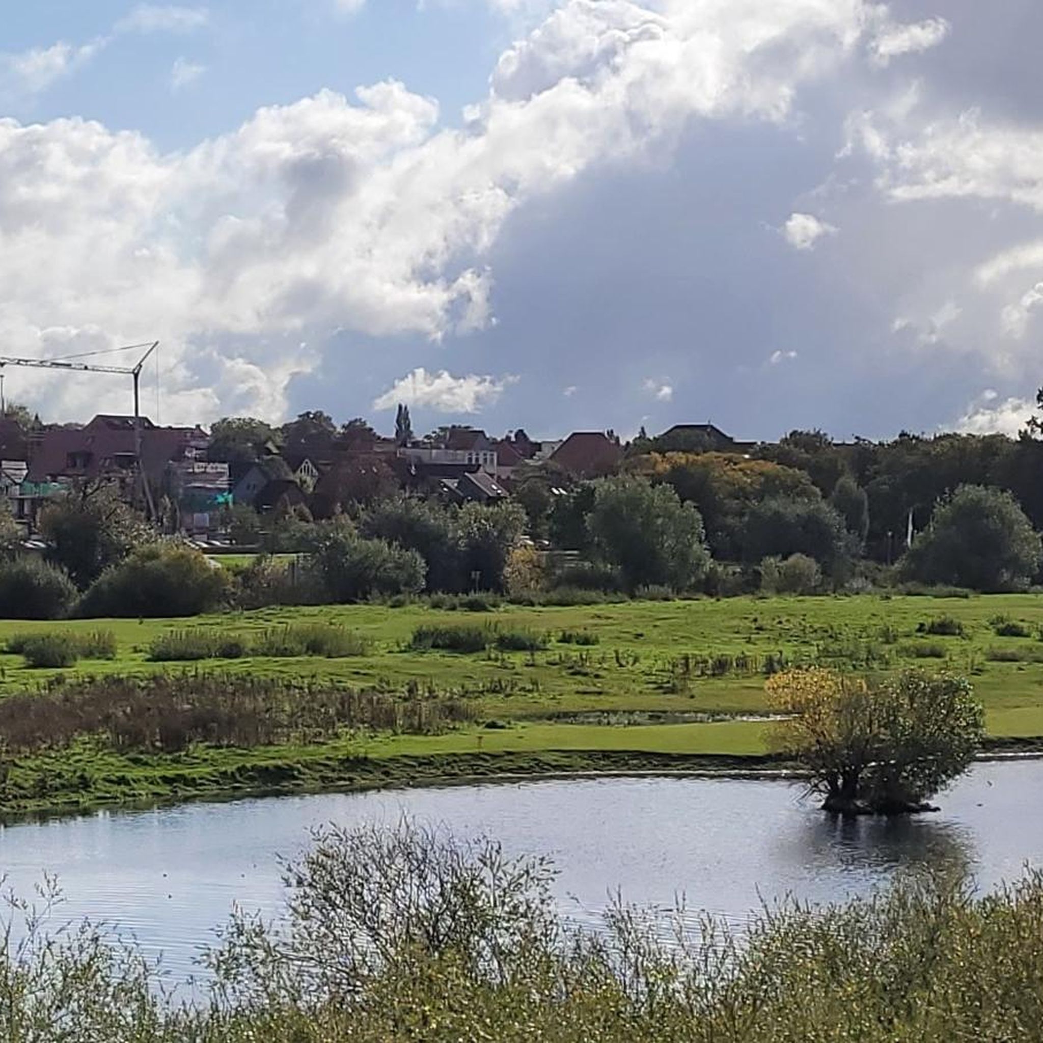
Cycling in Untere Allerniederung Im Landkreis Verden
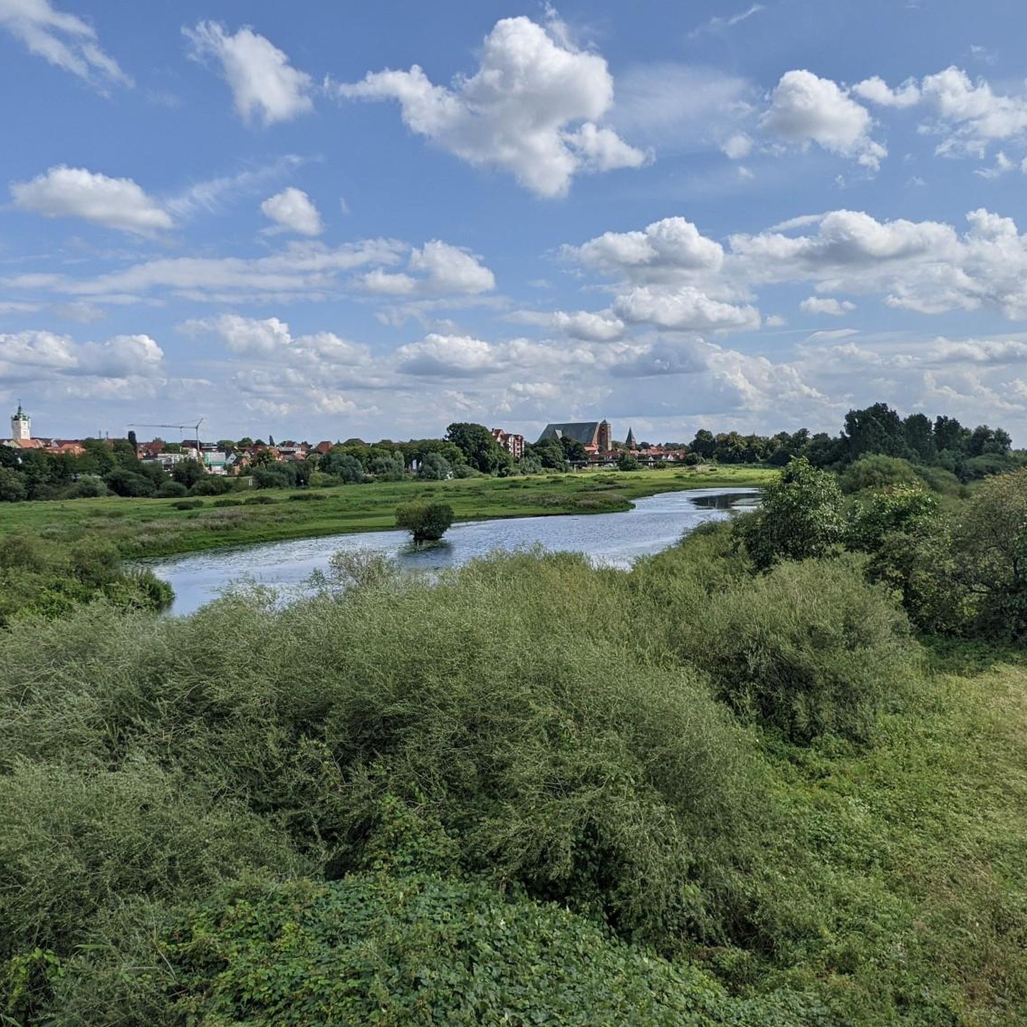
Road Cycling Routes in Untere Allerniederung Im Landkreis Verden
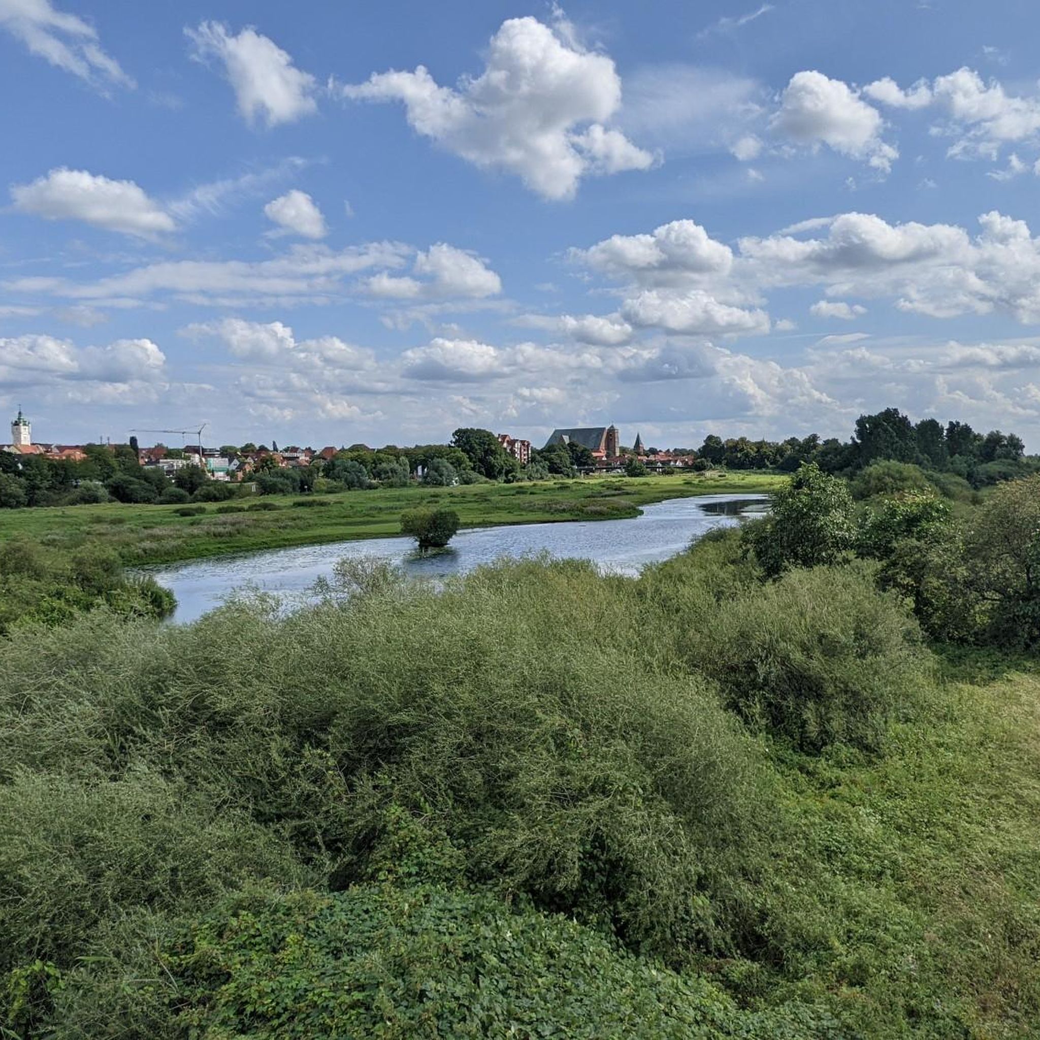
Hiking in Untere Allerniederung Im Landkreis Verden

Running Trails in Untere Allerniederung Im Landkreis Verden
MTB Trails in Untere Allerniederung Im Landkreis Verden
Other adventures in Untere Allerniederung Im Landkreis Verden


Tips from the Community

A nice seating area with a swing, which is no longer fenced off.
0
0

The cycle path connection not only provides shorter routes to the city center and the eastern commercial areas of Verden, but also offers a vivid and relaxing nature experience. With the best views, the FFH and bird sanctuary above the Aller lowlands can be observed from a new perspective. For commuters from the municipality of Dörverden, the bike ride is shorter than before. At the same time, one can experience a sense of deceleration, even though the actual travel time has been reduced. Source: https://www.verden.de/portal/seiten/radbruecke-ueber-aller-und-waetern-907001521-20680.html
1
0

From the bridge you can have a good view of the Aller
3
0


Frequently Asked Questions
What is the typical terrain like for gravel biking in Untere Allerniederung Im Landkreis Verden?
The region offers a diverse and largely flat landscape, shaped by the Aller river and its extensive floodplain. You'll encounter a mix of riverine habitats, floodplain grasslands, and oxbow lakes. Paths often lead through open meadows, pastures, willow bushes, and wooded sections. Higher, sandier areas also feature oak and hornbeam mixed forests, providing varied surfaces for gravel biking.
Are there gravel bike routes suitable for beginners or families with children?
Yes, the region offers a good selection of routes suitable for various skill levels. Out of 34 available tours, 11 are classified as easy, making them ideal for beginners or families looking for a relaxed ride. These routes typically feature flat paths through scenic natural areas.
What kind of natural features and wildlife can I expect to see along the gravel trails?
The Untere Allerniederung is a protected natural area, rich in biodiversity. You can expect to see riverine habitats, floodplain grasslands, and oxbow lakes. The area is particularly important for birds, serving as a breeding ground for species like the white stork and stonechat, and a crucial resting area for migratory birds during autumn and winter. Keep an eye out for diverse plant life, including willow bushes, riparian reeds, and various wetland communities.
What are some notable viewpoints or attractions along the gravel bike routes?
While gravel biking, you can discover several points of interest. Consider visiting the View of Verden and its cathedral for a picturesque perspective of the town. The New Aller Bridge Pedestrian and Cycle Path not only offers a great cycling experience but also views of a bird sanctuary. The charming Verden Old Town and Cathedral are also worth exploring.
What is the best time of year for gravel biking in Untere Allerniederung Im Landkreis Verden?
The region is enjoyable for gravel biking for much of the year. Spring and autumn are particularly pleasant due to milder temperatures and beautiful natural scenery. However, it's important to note that the floodplain areas can be subject to regular flooding, especially during autumn and winter. Always check local weather and water level conditions before heading out, as some paths might be impassable during high water.
Are there any loop trails available for gravel biking?
Yes, many of the gravel bike routes in the Untere Allerniederung are designed as loops, allowing you to start and end at the same point. For example, the Dorfladen Otersen – Lehrde Bridge loop from Verden (Aller) is a popular moderate route that takes you through varied floodplain landscapes and along the Aller river.
What is the average length and duration of gravel bike trails in this region?
The gravel bike trails in Untere Allerniederung Im Landkreis Verden vary in length. For instance, the Stellichte Watermill – Neddermühle Stellichte loop from Mars is a moderate 45.2 km (28.1 miles) path. Another option is the Singletrack Wolfsgrund – Wolfsgrund Viewing Platform loop from Verden (Aller), which is 34.7 km (21.6 miles) and typically takes around 2 hours 23 minutes to complete.
Are dogs allowed on the gravel bike trails?
While the region is generally dog-friendly, specific rules may apply within nature reserves and landscape protection areas, especially concerning wildlife. It's always best to keep dogs on a leash to protect local fauna, particularly during breeding seasons or when passing through sensitive habitats. Look for local signage regarding dog regulations.
What do other gravel bikers enjoy most about the trails in Untere Allerniederung Im Landkreis Verden?
The area is highly rated by the komoot community, with an average score of 4.3 stars from over 46 reviews. Reviewers often praise the flat and varied terrain, the scenic riverine landscapes, and the mix of open meadows and wooded sections that provide a dynamic and engaging environment for gravel biking. The well-maintained paths and natural beauty are frequently highlighted.
Are there any specific regulations for cycling within the nature protection areas?
The Untere Allerniederung encompasses both a nature reserve (Naturschutzgebiet) and a landscape protection area (Landschaftsschutzgebiet). While cycling is generally permitted on designated paths, it's crucial to stay on marked routes to protect the sensitive ecosystems and wildlife. Respect any signage regarding access restrictions, especially in areas important for breeding birds or during high water events.
Where can I find parking for gravel biking routes in the region?
Parking is generally available in and around the main towns like Verden (Aller) and near popular starting points for routes. Many routes, such as the Lindhoop Monument – Hügelgräber Heath Kirchlinteln loop from Verden (Aller), often start from locations with accessible parking. Look for designated parking areas in villages or near trailheads.
Can I reach the gravel biking trails using public transport?
Verden (Aller) is well-connected by public transport, including train services, making it a convenient starting point for many routes. From Verden, you can often access various trails directly or with short rides to nearby villages. Check local bus schedules for connections to smaller towns and trailheads within the Landkreis Verden, as some services may accommodate bicycles.
Most popular routes in Untere Allerniederung Im Landkreis Verden
Most popular attractions in Untere Allerniederung Im Landkreis Verden

Get inspired with the komoot mobile app


Explore more
Browse the best Gravel rides in other regions.
