The best city hikes and walks in Naturpark Oberer Bayerischer Wald
4.5
(40538)
146,916
hikers
59
hikes
Urban hiking trails in Naturpark Oberer Bayerischer Wald offer diverse landscapes, from river valleys to forested areas. The region is characterized by its varied topography, including the Regen river and extensive forest cover. These urban routes often follow riverbanks or lead through town centers, providing accessible outdoor experiences. The park's natural features include low-lying moors and floodplains, which contribute to the scenic variety of its trails.
Best urban hiking trails in Naturpark Oberer Bayerischer Wald
- The most popular urban hiking route is Town hall of Bad Kötzting – White Regen River loop from Bad Kötzting, an easy 3.6 miles (5.8 km) trail that takes 1 hour 31 minutes to complete. This route follows the White Regen River, offering pleasant riverside views.
- Another top favourite among local hikers is Meranweg – Regen floodplain near Katzbach loop from Cham, an easy 2.9 miles (4.7 km) path. This trail explores the Regen floodplain, showcasing the natural beauty of the river landscape.
- Local hikers also love the Bad Kötzting Spa Park – White Regen River loop from Bad Kötzting, a 4.3 miles (6.9 km) trail leading through the spa park and along the river, often completed in about 1 hour 48 minutes.
- Hiking in Naturpark Oberer Bayerischer Wald is defined by river valleys, extensive forests, and urban pathways. The network offers options for various ability levels, from leisurely strolls to longer urban explorations.
- The routes in Naturpark Oberer Bayerischer Wald are highly rated by the komoot community with an average score of 4.6 stars from over 37,000 reviews. More than 145,000 hikers have used komoot to explore Naturpark Oberer Bayerischer Wald's varied terrain.
Last updated: August 5, 2026
4.7
(19)
55
hikers
5.82km
01:33
50m
50m
Easy hike. Great for any fitness level. Easily-accessible paths. Suitable for all skill levels.
5.0
(1)
22
hikers
4.72km
01:14
30m
30m
Easy hike. Great for any fitness level. Easily-accessible paths. Suitable for all skill levels.

Sign up for free
5.0
(1)
17
hikers
4.70km
01:14
30m
30m
Easy hike. Great for any fitness level. Easily-accessible paths. Suitable for all skill levels.
5.0
(2)
17
hikers
Easy hike. Great for any fitness level. Easily-accessible paths. Suitable for all skill levels.
5.0
(1)
13
hikers
4.78km
01:14
30m
30m
Easy hike. Great for any fitness level. Easily-accessible paths. Suitable for all skill levels.
Get access to more routes and recommendations from other explorers.
Sign up for free
Already have an account?
Our route recommendations are based on thousands of hikes, rides, and runs completed by other people on komoot.
Start today with a free account
Your next adventure awaits.
Login or Signup
Popular around Naturpark Oberer Bayerischer Wald

The Goldsteig – 38 stages between Upper Palatinate and Passau

Goldsteig — The best routes for long distance hiking in Eastern Bavaria
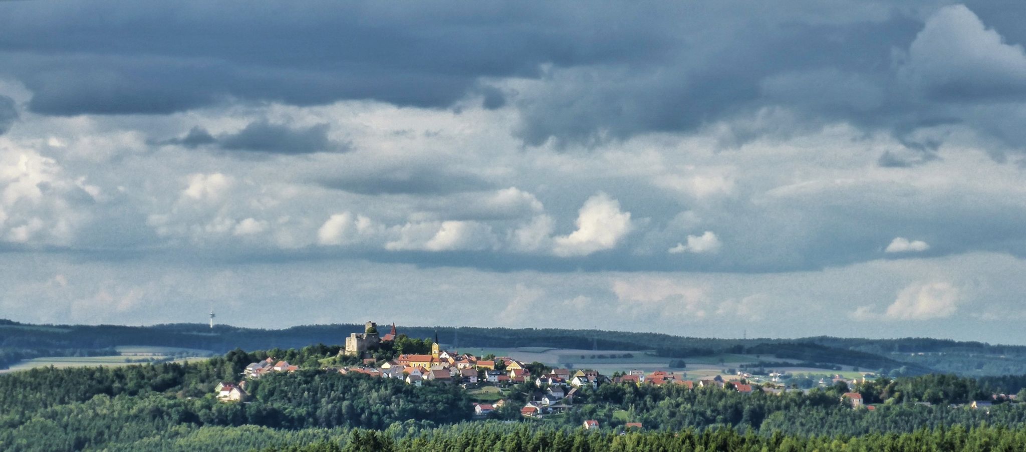
The Upper Palatinate Castle Trail — 9 days in picturesque northern Bavaria

The National Natural Landscapes in Bavaria
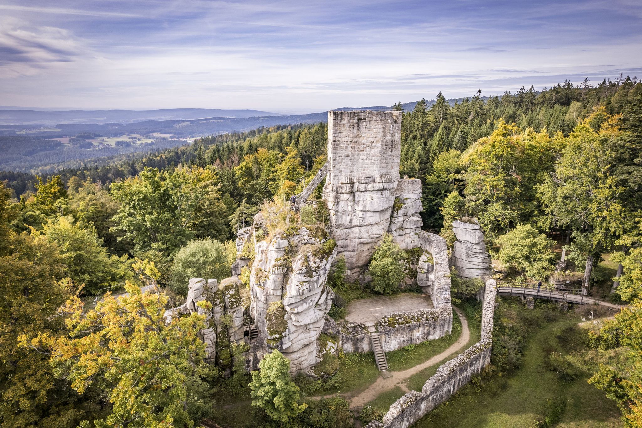
On the 'Kultouren' through the Upper Palatine Forest
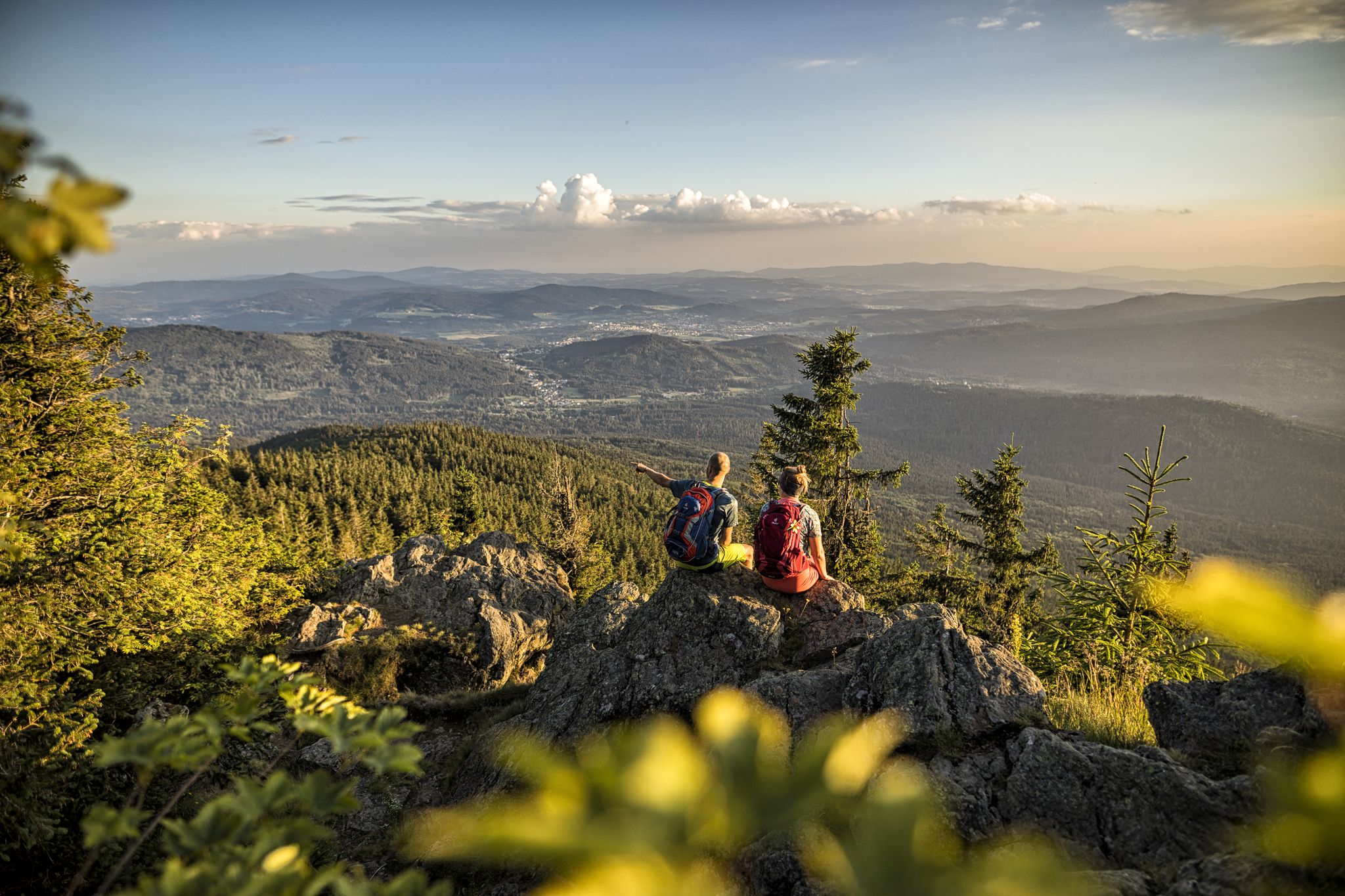
Hiking tips for the Bavarian Forest
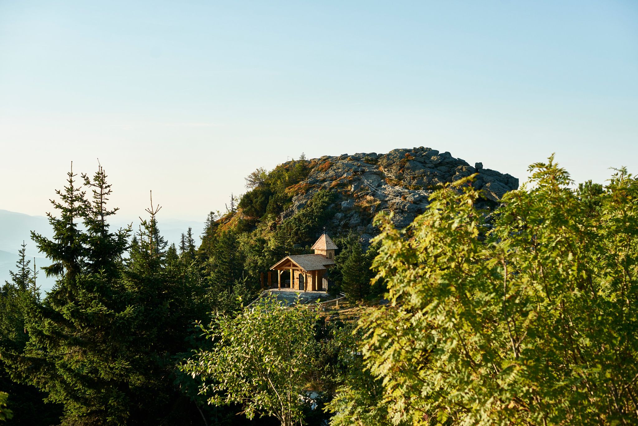
Six wonderful hikes around Bavaria’s Großer Arber
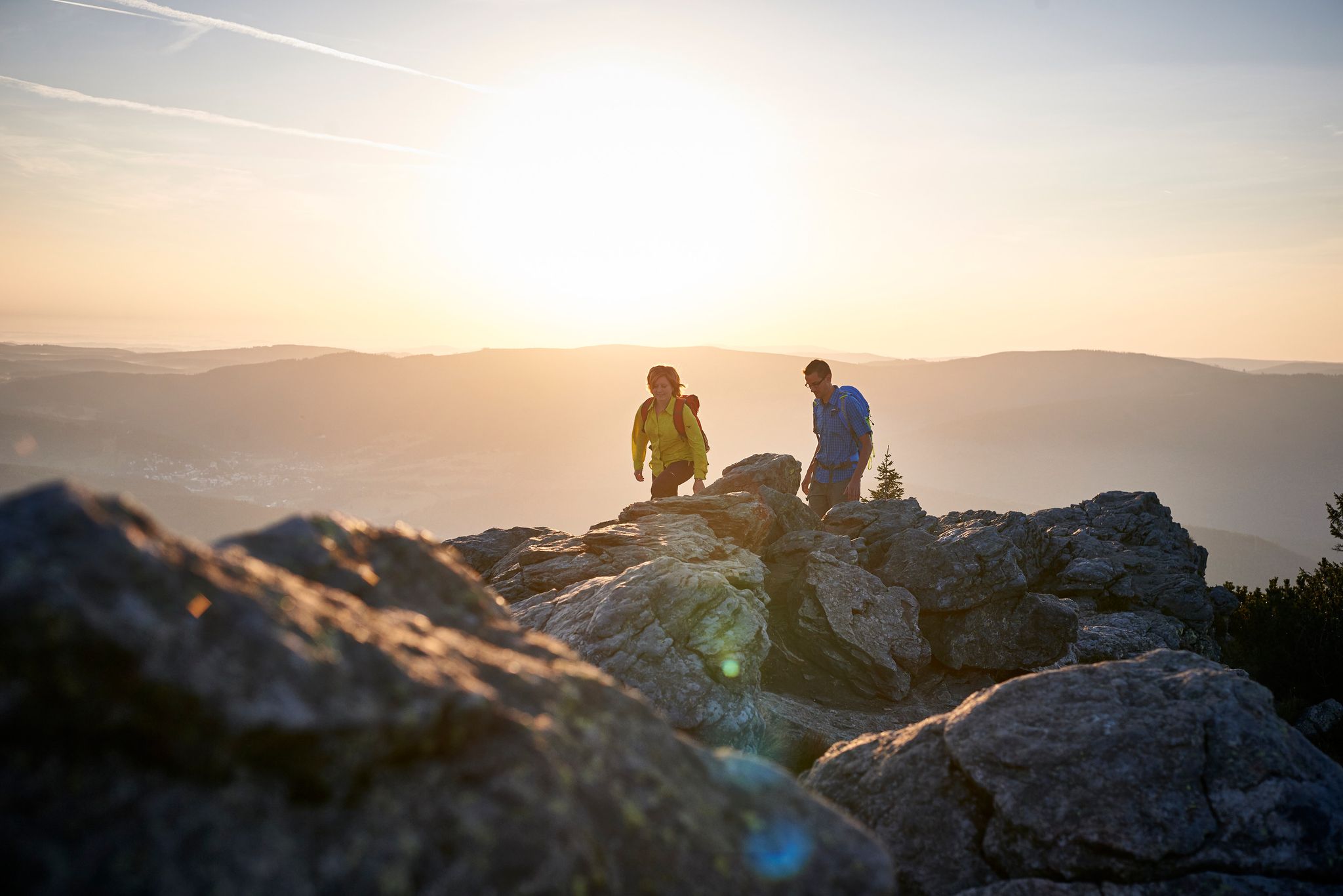
Varied day Tours on the Großer Arber
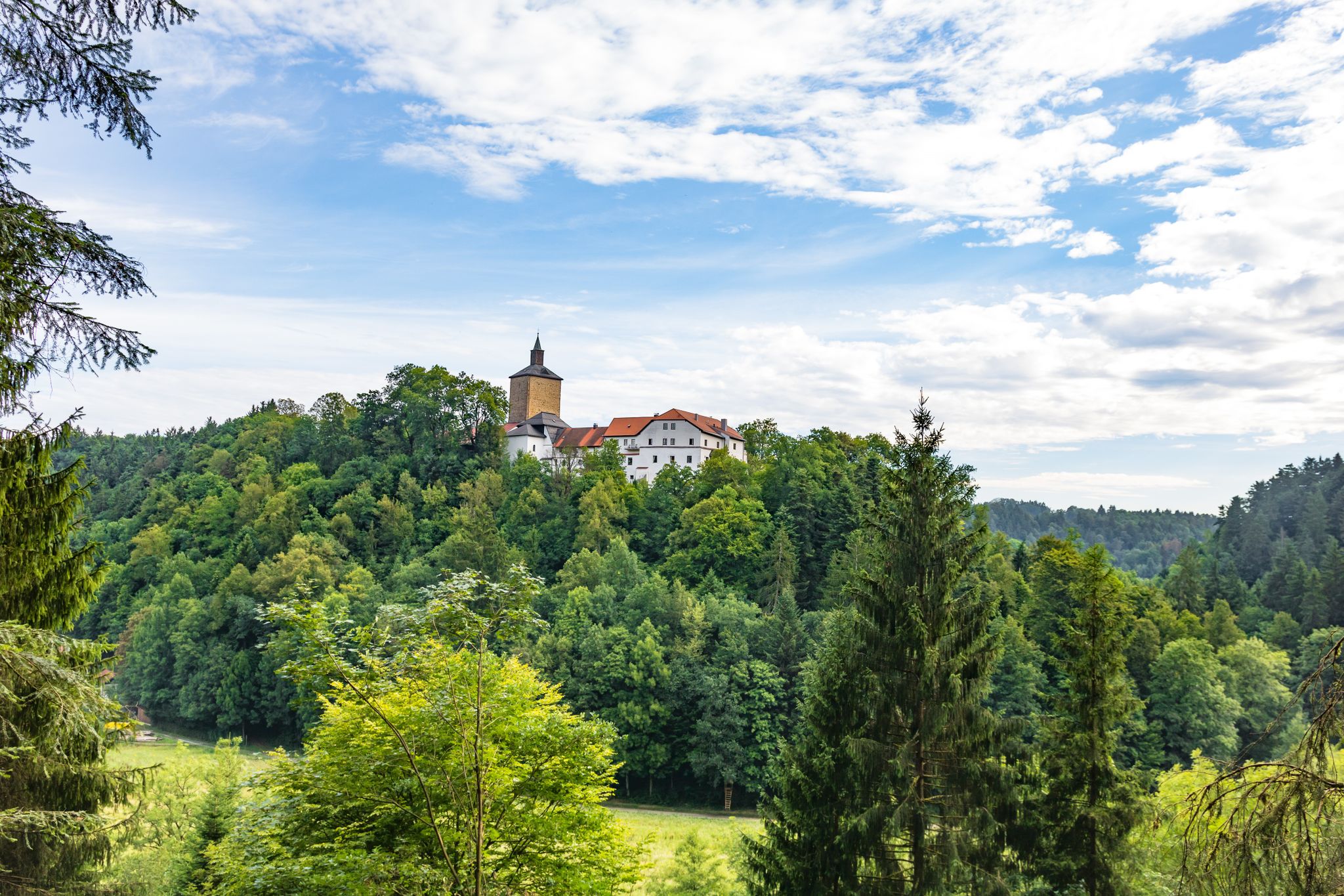
Hiking through history on Germany’s Pandurensteig
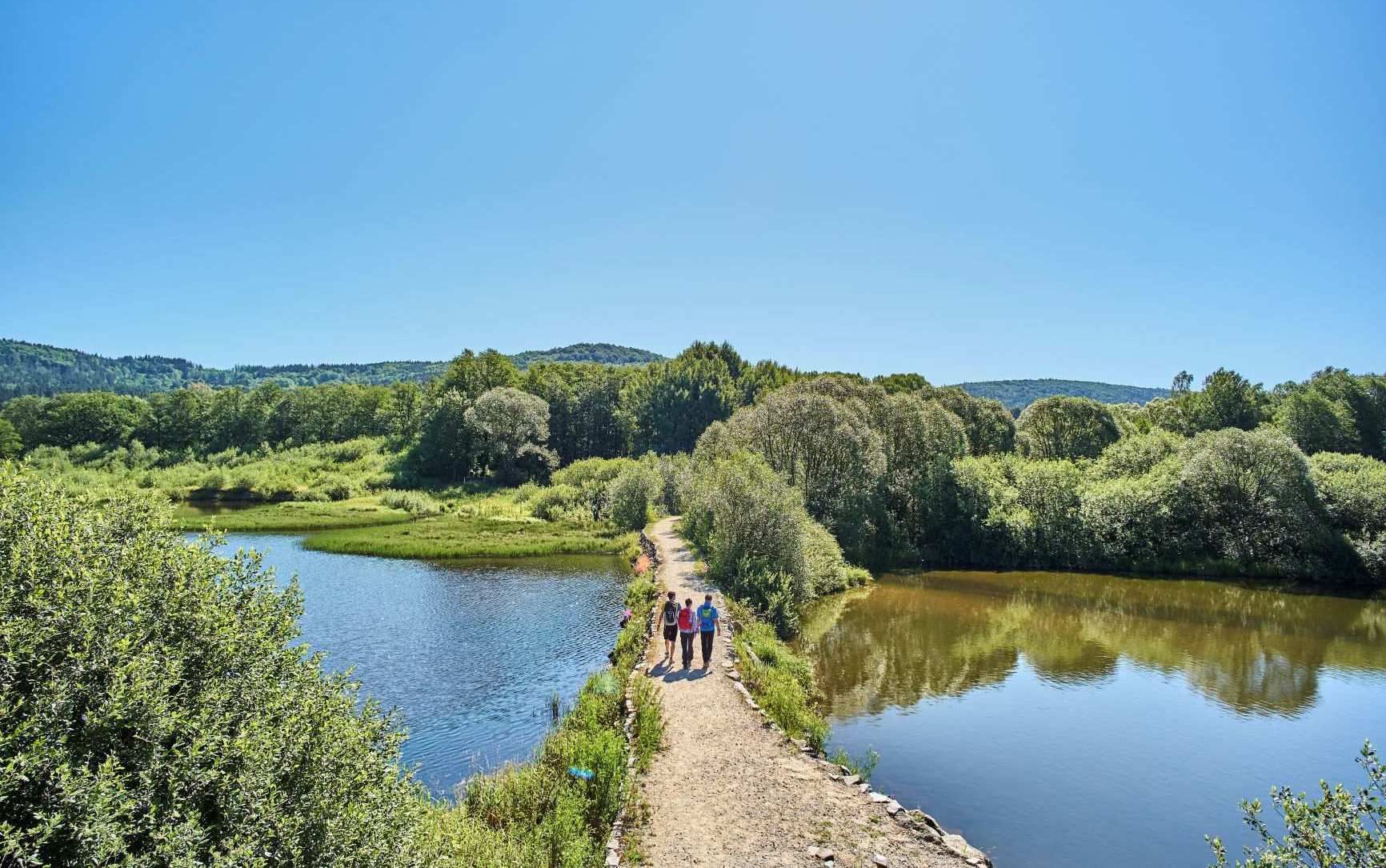
The best of the Goldsteig in Eastern Bavaria – 6 scenic hikes
Other adventures in Naturpark Oberer Bayerischer Wald


Tips from the Community

Next to the mini-golf, a nice kiosk with plenty of outdoor seating. I even got a bowl of water for the dog 😉
0
0

the colorful statues of Luckner are distributed throughout the entire city center
0
0
The church on the market square is of Romanesque origin. Its foundations in massive rubble masonry and also the substructures of the towers date back to the 13th century. The northern tower was not completed, but connected to the town hall. The recessed choir was built between 1394 and 1411. The Gothic, twice-stepped buttresses have been preserved. The nave originally had six bays. In 1894/95 it was extended by two bays to the west. The three doors were created around 1700. On the south side of the choir, a life-size painting by the local painter Georg Achtelstetter depicts the church patron James the Elder.
0
0
The historic Old Town Hall in Cham's old town (directly on the market square) dates back in its oldest parts to the 13th and 14th centuries. Together with the neighboring St. James' Church, it forms one of the most beautiful medieval architectural ensembles in the Upper Palatinate. The long hall on the first floor is used for meetings and cultural events. On the ground floor, there is now a café that invites you to linger on the market square.
0
0

Bad Kötzting, in the Oberpfalz: quaint town with a casino, with a spa clinic - which offers TCM, through which the Goldsteig leads, starting point for various hikes (Arber, Osser, Hoher Bogen etc.). Great landscape...
0
0

The town hall dates back to at least the first half of the 15th century. The eastern, older part faces the market square with its gable end and, together with the Gothic choir of the adjoining St. James' Church, forms a beautiful ensemble of medieval architecture – one of the most beautiful in the Upper Palatinate.
6
0
Since June 1995, the fountain by the artist Joseph Michael Neustifter has stood on the market square.
4
0
A very beautiful market square in the historic old town of Cham. The market square fountain is very impressive. Plenty of seating invites you to linger.
4
0
Frequently Asked Questions
How many urban hiking trails are available in Naturpark Oberer Bayerischer Wald?
Naturpark Oberer Bayerischer Wald offers over 60 urban hiking trails, with the vast majority being easy to navigate. This provides a wide selection for exploring the towns and their surrounding natural areas.
Are there easy urban hikes suitable for beginners or casual walkers?
Yes, the region is very beginner-friendly for urban hikes. Out of the 63 available routes, 59 are classified as easy. For example, the Town hall of Bad Kötzting – White Regen River loop from Bad Kötzting is a great option for a relaxed stroll along the river.
Can I find circular urban hiking routes in Naturpark Oberer Bayerischer Wald?
Many of the urban hikes in the Naturpark Oberer Bayerischer Wald are designed as circular routes, allowing you to start and end at the same point. An example is the Meranweg – Regen floodplain near Katzbach loop from Cham, which offers a pleasant round trip through the floodplain.
What kind of landmarks or attractions can I see on urban hikes in this region?
Urban hikes in Naturpark Oberer Bayerischer Wald often combine town exploration with natural beauty. You might encounter historical town centers, river views, and local points of interest. While not directly on urban trails, the wider region is known for its impressive peaks like the Great Osser and the Great Riedelstein, or serene lakes such as Lake Blaibach and Dragon Lake, which can be visited as part of a broader trip.
Are the urban trails in Naturpark Oberer Bayerischer Wald suitable for families with children?
Absolutely. The abundance of easy, mostly flat urban routes makes them ideal for families. Many trails follow riverbanks or pass through parks, offering safe and enjoyable environments for all ages. The Bad Kötzting Spa Park – White Regen River loop from Bad Kötzting is a good example of a family-friendly option.
Are dogs allowed on the urban hiking trails?
Generally, dogs are welcome on urban hiking trails in Naturpark Oberer Bayerischer Wald, provided they are kept on a leash, especially in populated areas or nature protection zones. Always be mindful of local regulations and other hikers. Many routes, like those along the Regen River, are popular with dog owners.
What is the best time of year for urban hiking in Naturpark Oberer Bayerischer Wald?
Urban hiking in Naturpark Oberer Bayerischer Wald is enjoyable year-round. Spring brings blooming nature, summer offers pleasant temperatures for riverside walks, autumn showcases beautiful foliage, and even winter can be charming with crisp air and occasional snow, though some paths might be icy. Always check local weather conditions before heading out.
Are there urban hikes that include opportunities for cafe stops or refreshments?
Yes, many urban hikes pass directly through or near town centers, offering ample opportunities for cafe stops, restaurants, or local pubs. For instance, the Biertor, Cham – Cham Market Square loop from Cham takes you right through the heart of Cham, where you can easily find places to refresh.
How long do urban hikes typically take in this region?
Urban hikes in Naturpark Oberer Bayerischer Wald vary in length, but most are designed for shorter excursions. You can find routes that take anywhere from 1.5 to 2.5 hours to complete, such as the Meranweg loop from Cham, which is approximately 1 hour and 15 minutes, making them perfect for a leisurely afternoon walk.
What do other hikers enjoy most about urban hiking in Naturpark Oberer Bayerischer Wald?
The komoot community highly rates the trails in Naturpark Oberer Bayerischer Wald, with an average score of 4.56 stars from over 37,000 ratings. Reviewers often praise the well-maintained paths, the peaceful blend of town and nature, and the accessibility of the routes for all skill levels.
Is public transport available to access urban hiking trails?
Many towns in Naturpark Oberer Bayerischer Wald are accessible by public transport, making it convenient to reach the starting points of urban hikes. It's advisable to check local bus and train schedules for specific towns like Cham or Bad Kötzting to plan your journey effectively.
Where can I find more information about Naturpark Oberer Bayerischer Wald?
For more general information about the Naturpark Oberer Bayerischer Wald and its attractions, you can visit the official tourism website for the region: Ostbayern Tourismus.
Most popular routes in Naturpark Oberer Bayerischer Wald
Most popular attractions in Naturpark Oberer Bayerischer Wald

Get inspired with the komoot mobile app


Explore more
Browse the best Hikes in other regions.
