The best mountain hikes in Naturpark Oberer Bayerischer Wald
4.9
(84)
613
hikers
72
hikes
Mountaineering in Naturpark Oberer Bayerischer Wald offers diverse landscapes and challenging peaks within one of Bavaria's largest nature parks. The region is characterized by its "Tausender" peaks, summits exceeding 1,000 meters, including Großer Osser and Hoher Bogen. Dense forests, rugged terrain, and significant elevation changes define the mountaineering experience here.
Best mountaineering routes in Naturpark Oberer Bayerischer Wald
- The most popular mountaineering route is Osser Trail – Künische Chapel on the Osser loop from Lohberg, a 6.0 miles (9.6 km) difficult trail that takes 3 hours 49 minutes to complete, offering challenging ascents to the Osser peaks.
- Another top favourite among local mountaineers is Osser Trail – Great Osser loop from Lam, a difficult 7.1 miles (11.5 km) path. This route provides expansive views and rugged terrain typical of the region's higher elevations.
- Local mountaineers also love the Osser Trail – Summit of the Kleiner Osser loop from Lohberg, a 4.5 miles (7.2 km) trail leading through dense forests and towards summit viewpoints, often completed in about 3 hours 7 minutes.
- Mountaineering in Naturpark Oberer Bayerischer Wald is defined by its "Tausender" peaks, dense forests, and rugged terrain. The network offers options for various ability levels, from demanding summit ascents to longer, challenging traverses.
- The routes in Naturpark Oberer Bayerischer Wald are highly rated by the komoot community with an average score of 4.9 stars from over 80 reviews. More than 600 mountaineers have used komoot to explore Naturpark Oberer Bayerischer Wald's varied terrain.
Last updated: May 8, 2026
5.0
(5)
21
hikers
9.60km
03:49
590m
600m
Hard mountaineering route. Good fitness required. Sure-footedness, sturdy shoes and alpine experience required.
5.0
(6)
23
hikers
11.5km
04:22
630m
630m
Hard mountaineering route. Good fitness required. Sure-footedness, sturdy shoes and alpine experience required.

Sign up for free
4.7
(6)
33
hikers
7.23km
03:07
530m
530m
Hard mountaineering route. Good fitness required. Sure-footedness, sturdy shoes and alpine experience required.
4.7
(7)
41
hikers
29.5km
11:35
1,250m
1,250m
Hard mountaineering route. Very good fitness required. Sure-footedness, sturdy shoes and alpine experience required.
5.0
(4)
28
hikers
13.5km
04:57
700m
700m
Hard mountaineering route. Good fitness required. Sure-footedness, sturdy shoes and alpine experience required.
Get access to more routes and recommendations from other explorers.
Sign up for free
Already have an account?
Our route recommendations are based on thousands of hikes, rides, and runs completed by other people on komoot.
Start today with a free account
Your next adventure awaits.
Login or Signup
Popular around Naturpark Oberer Bayerischer Wald
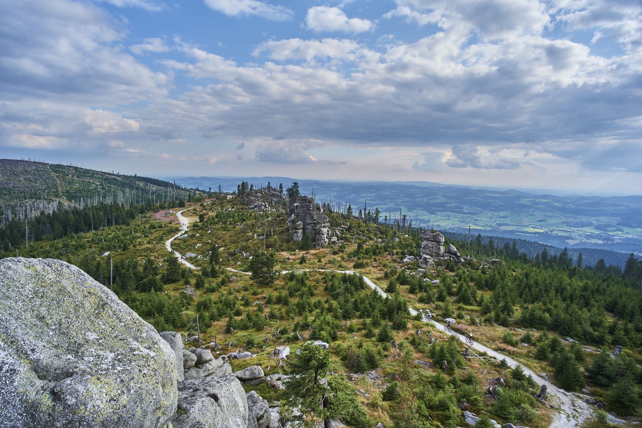
Trans Bayerwald – A mountain bike adventure through Bavaria's finest nature

The Goldsteig – 38 stages between Upper Palatinate and Passau

Goldsteig — The best routes for long distance hiking in Eastern Bavaria
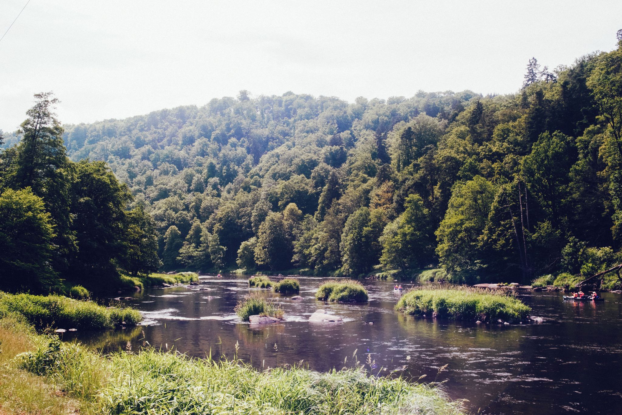
The Rain valley cycle path — 4 days through the Bavarian Forest
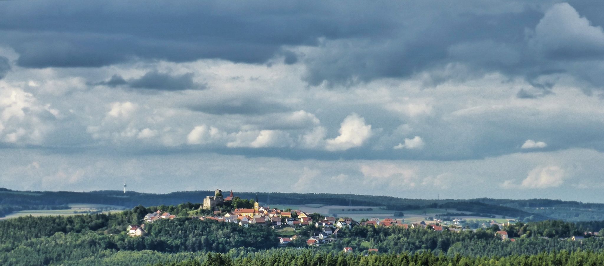
The Upper Palatinate Castle Trail — 9 days in picturesque northern Bavaria

The National Natural Landscapes in Bavaria
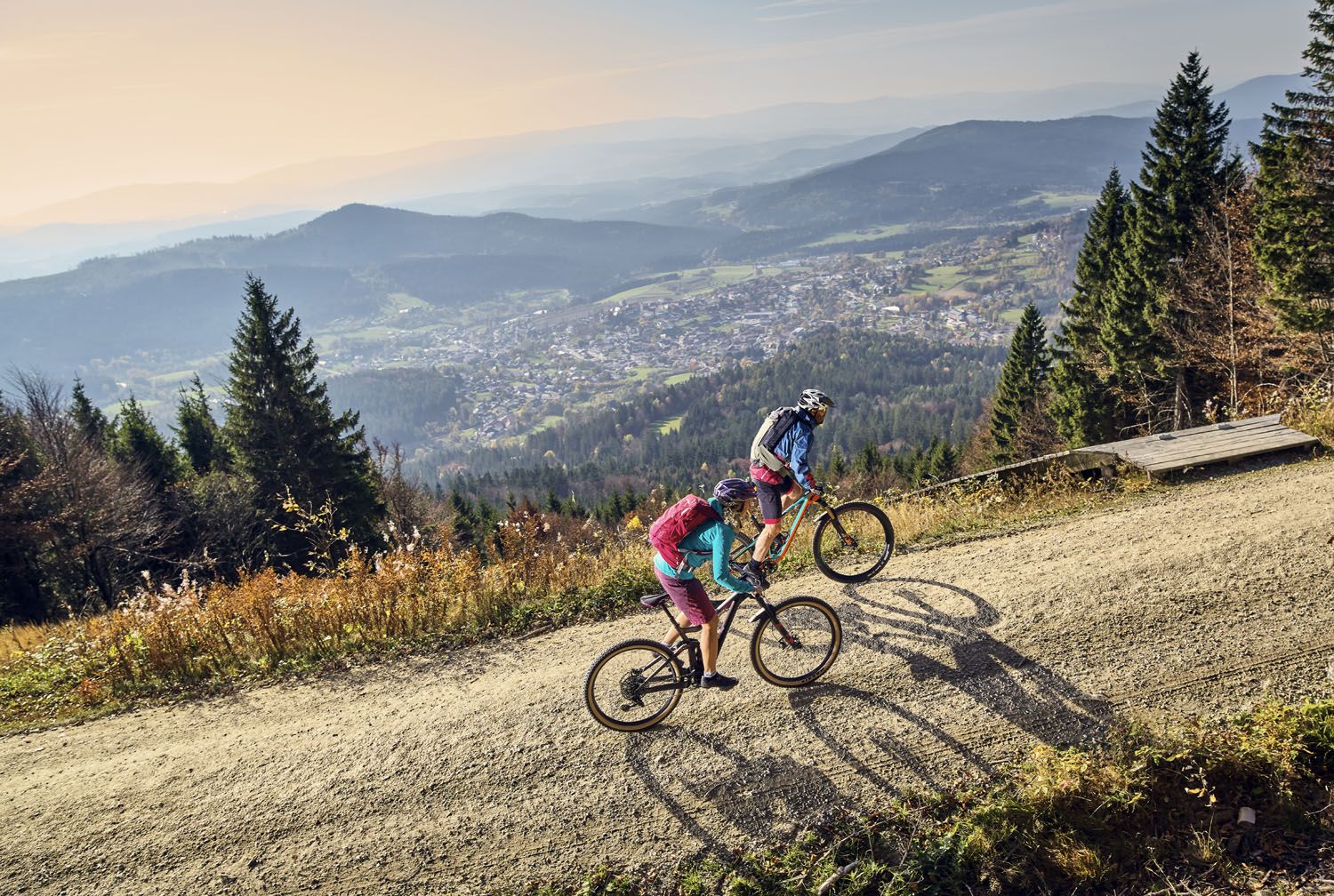
Exciting cycle and (e)-mountain bike Tours in the Bavarian Forest
On the 'Kultouren' through the Upper Palatine Forest
Hiking tips for the Bavarian Forest
Six wonderful hikes around Bavaria’s Großer Arber
Other adventures in Naturpark Oberer Bayerischer Wald


Tips from the Community

The summit cross Schwarzeck offers a great view of the mountains of the Bavarian Forest. The cross itself is also worth seeing, and the path to it, part of the Goldsteig, is also very beautiful. Nearby there is another viewpoint (also belongs to Schwarzeck) which also offers a great view of the other side. Here on the Großer and Kleiner Arber and into the valley.
0
0

Hidden behind a group of rocks is the summit cross Schwarzeck, but is rewarded with such a beautiful view
0
0

Beautiful old boundary stone
2
0

Beautiful view of the Lamer Winkel. Sit down and enjoy 🧘🏼👌🏼
2
0


Customs in the Bavarian Forest
0
0

From the Osserwiese there are good views of the small Osser and the Lamar Winkel. It also serves as a launch site for paragliders.
0
0
Incredibly lucky to enjoy the view above the fog
1
0
Frequently Asked Questions
How many mountaineering routes are available in Naturpark Oberer Bayerischer Wald?
Naturpark Oberer Bayerischer Wald offers a wide selection of mountaineering routes, with over 75 tours available. These range from moderate to difficult, providing options for various skill levels.
What are the typical difficulties of mountaineering routes in this region?
The mountaineering routes in Naturpark Oberer Bayerischer Wald are predominantly challenging. You'll find 51 difficult routes and 23 moderate ones, with only a few easy options. This reflects the region's rugged terrain and significant elevation changes, characteristic of its 'Tausender' peaks.
Are there any particularly challenging mountaineering routes for experienced hikers?
Yes, for experienced mountaineers seeking a challenge, the region offers several demanding routes. Consider the Enzian Summit Cross – Kleiner Arber Summit (1,384 m) loop from Eck, which covers nearly 30 km with over 1200 meters of elevation gain. Another option is the Osser Trail – Great Osser loop from Lam, known for its expansive views and rugged terrain.
Can I find circular mountaineering routes in Naturpark Oberer Bayerischer Wald?
Many mountaineering routes in Naturpark Oberer Bayerischer Wald are designed as loops, allowing you to start and end at the same point. Examples include the Osser Trail – Künische Chapel on the Osser loop from Lohberg and the Osser Trail – Summit of the Kleiner Osser loop from Lohberg, both offering rewarding ascents and descents.
What kind of natural landmarks or viewpoints can I expect to see on these routes?
Mountaineering in Naturpark Oberer Bayerischer Wald offers stunning natural landmarks and panoramic viewpoints. You can expect to encounter prominent peaks like the Great Osser, known for its breathtaking views, and the Great Riedelstein on the Kaitersberg, which provides fantastic 360-degree panoramas. The mystical Rauchröhren rock formation is also a notable sight.
Are there any huts or places to stop for refreshments along the mountaineering trails?
Yes, you can find huts and places for refreshments along some mountaineering trails. For instance, the Kötztinger Hut is a known stop. The region's focus on sustainable tourism means you'll often find opportunities to rest and refuel, especially near popular summits or trailheads.
What is the best time of year for mountaineering in Naturpark Oberer Bayerischer Wald?
The best time for mountaineering in Naturpark Oberer Bayerischer Wald is typically from late spring through early autumn. During these months, the weather is generally more stable, and trails are clear of snow, offering optimal conditions for challenging ascents and enjoying the panoramic views. Always check local weather conditions before heading out.
Are the mountaineering trails in Naturpark Oberer Bayerischer Wald suitable for families?
While many mountaineering routes in Naturpark Oberer Bayerischer Wald are challenging, there are some options that might be suitable for active families with older children, especially those accustomed to longer hikes. However, most routes involve significant elevation changes and rugged terrain, so it's essential to assess the difficulty and duration carefully. Look for shorter, less steep sections if mountaineering with younger family members.
Are dogs allowed on the mountaineering routes in Naturpark Oberer Bayerischer Wald?
Generally, dogs are welcome on the mountaineering routes in Naturpark Oberer Bayerischer Wald. However, it's crucial to keep them on a leash, especially in nature protection areas, near wildlife, or when passing other hikers. Ensure your dog is fit enough for the challenging terrain and carry enough water for both of you.
How long do mountaineering routes typically take to complete in this park?
The duration of mountaineering routes in Naturpark Oberer Bayerischer Wald varies significantly based on distance and elevation. Shorter, difficult routes like the Osser Trail – Künische Chapel on the Osser loop from Lohberg can take around 3 hours 49 minutes, while longer, more strenuous tours such as the Enzian Summit Cross – Kleiner Arber Summit (1,384 m) loop from Eck can extend to over 11 hours.
Where can I find parking or access trails via public transport for mountaineering?
Many trailheads for mountaineering routes in Naturpark Oberer Bayerischer Wald have designated parking areas, especially near popular starting points like Lam or Lohberg. While public transport options exist within the broader region, direct access to all trailheads might be limited. It's advisable to research specific route starting points for detailed parking information or public transport connections.
What makes the mountaineering experience in Naturpark Oberer Bayerischer Wald unique?
Mountaineering in Naturpark Oberer Bayerischer Wald is unique due to its distinctive 'Tausender' peaks, which are summits exceeding 1,000 meters, offering challenging ascents and rewarding panoramic views. The park's diverse landscape, from dense forests to rare wetlands and dramatic rock formations like the Rauchröhren, provides a varied and engaging experience. The komoot community highly rates the routes, with an average score of 4.9 stars, praising the rugged terrain and stunning vistas.
Are there any specific geological features to look out for while mountaineering?
Yes, the Naturpark Oberer Bayerischer Wald boasts unique geological features. Keep an eye out for the Pfahl ridge, a 150-kilometer-long quartz vein that forms impressive rock pinnacles in places and is globally unique. The Großer Osser also features mica schist, an attractive geotope. These formations add to the rugged beauty of the mountaineering landscape.
Most popular routes in Naturpark Oberer Bayerischer Wald
Most popular attractions in Naturpark Oberer Bayerischer Wald

Get inspired with the komoot mobile app


Explore more
Browse the best Mountain Hikes & Routes in other regions.
