Naturschutzgebiet - Westteil Des Toten Gebirges
Naturschutzgebiet - Westteil Des Toten Gebirges
Top 20 Natural Monuments in Naturschutzgebiet - Westteil Des Toten Gebirges
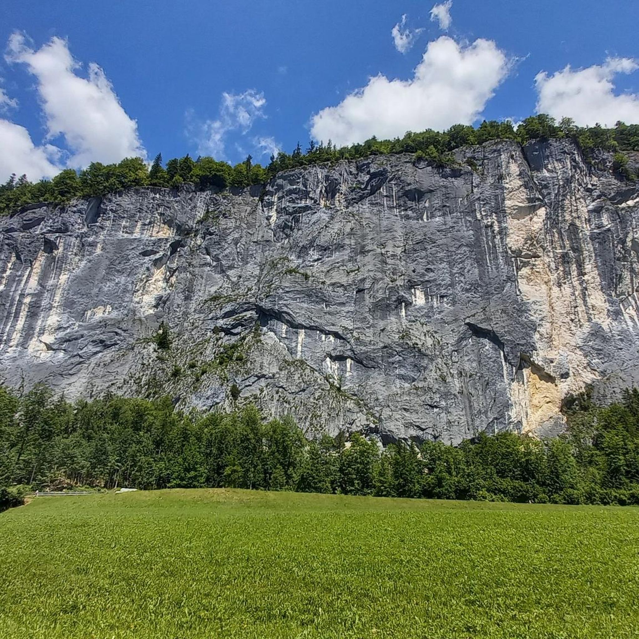
Best natural monuments in Naturschutzgebiet - Westteil Des Toten Gebirges are characterized by an extensive karst landscape, featuring numerous geological formations. This region, part of the Northern Limestone Alps, presents an arid plateau with steep cliffs, gorges, and an extensive network of caves and shafts. The unique geology, primarily composed of Dachstein limestone, has shaped both surface and subterranean features, offering diverse natural features for exploration. Visitors can observe dolines and crevices, which are part of a vast underground drainage…
Last updated: August 1, 2026
Pühringerhütte
Highlight • Mountain Hut
Translated by Google •
Tip by

Loser Summit (1837 m) – View of Altaussee and Dachstein
Highlight • Summit
Translated by Google •
Tip by

Sign up now to discover places like this
Get recommendations on the best single tracks, peaks, & plenty of other exciting outdoor places.
Sign up for free
Loserfenster
Highlight • Natural Monument
Translated by Google •
Tip by

Lake Toplitz
Highlight • Lake
Translated by Google •
Tip by

Lakeside Trail at Lake Altaussee
Highlight • Trail
Translated by Google •
Tip by

Sign up for free to discover even more natural monuments in Naturschutzgebiet - Westteil Des Toten Gebirges.
Sign up for free
Already have an account?
Start today with a free account
Your next adventure awaits.
Login or Signup
Popular around Naturschutzgebiet - Westteil Des Toten Gebirges

North Alpine Trail 01 – Hike across Austria in 49 days
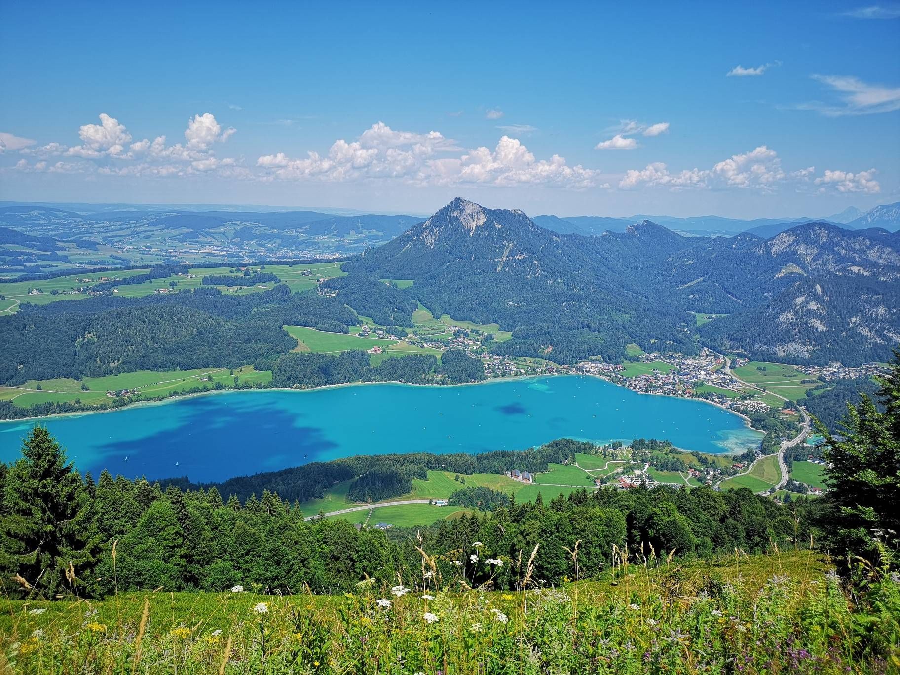
BergeSeen Trail – Long distance hiking in Austria's Salzkammergut with mountains and lakes galore
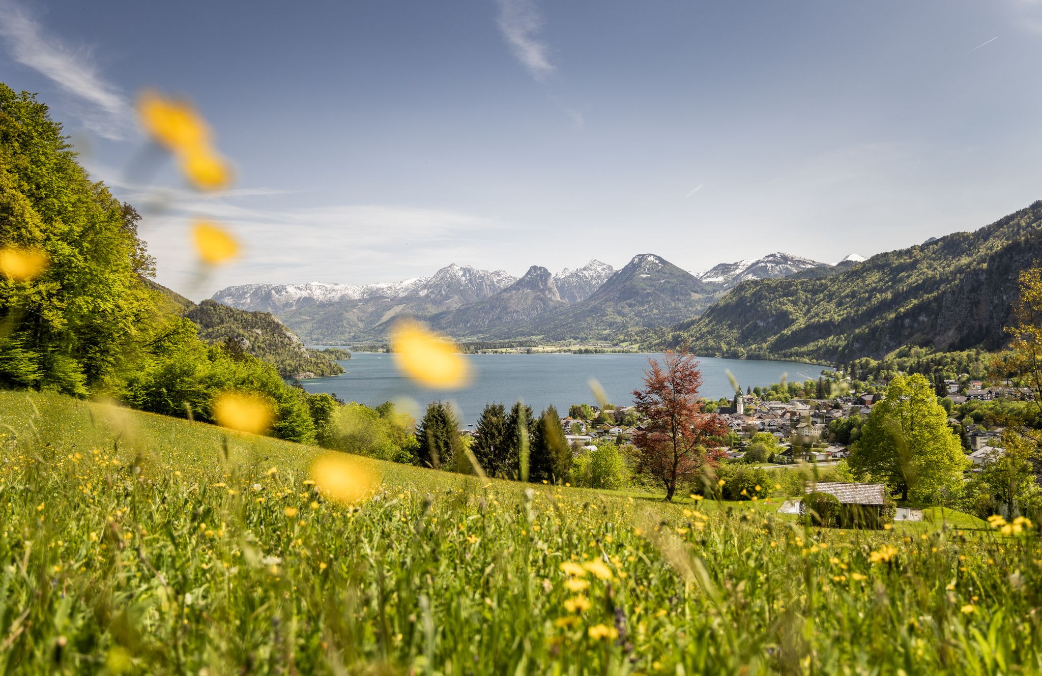
Between water and rock – hiking in Salzkammergut
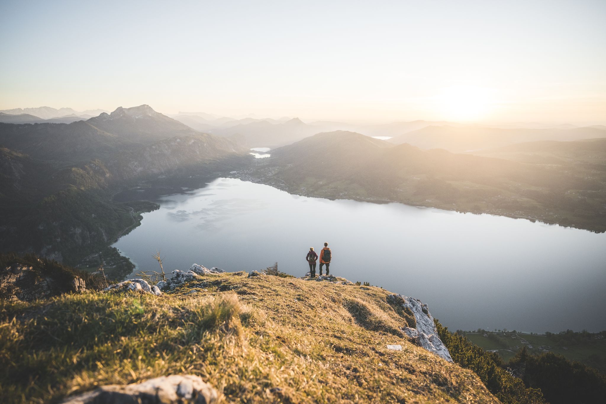
Explore the Salzkammergut on the BergeSeen Trail
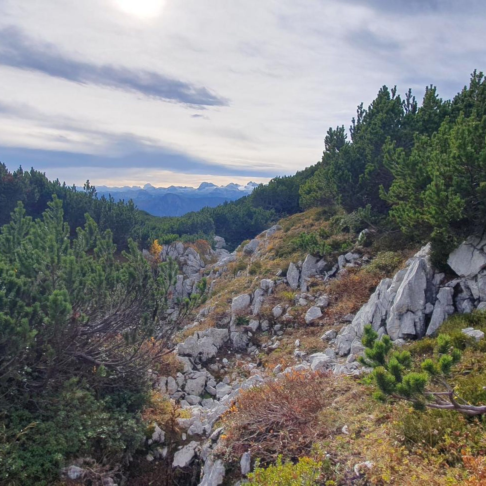
Hiking in Naturschutzgebiet - Westteil Des Toten Gebirges
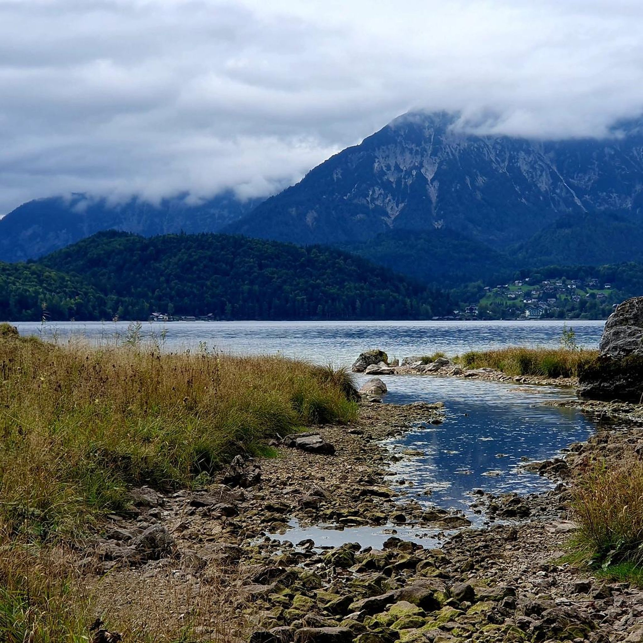
MTB Trails in Naturschutzgebiet - Westteil Des Toten Gebirges
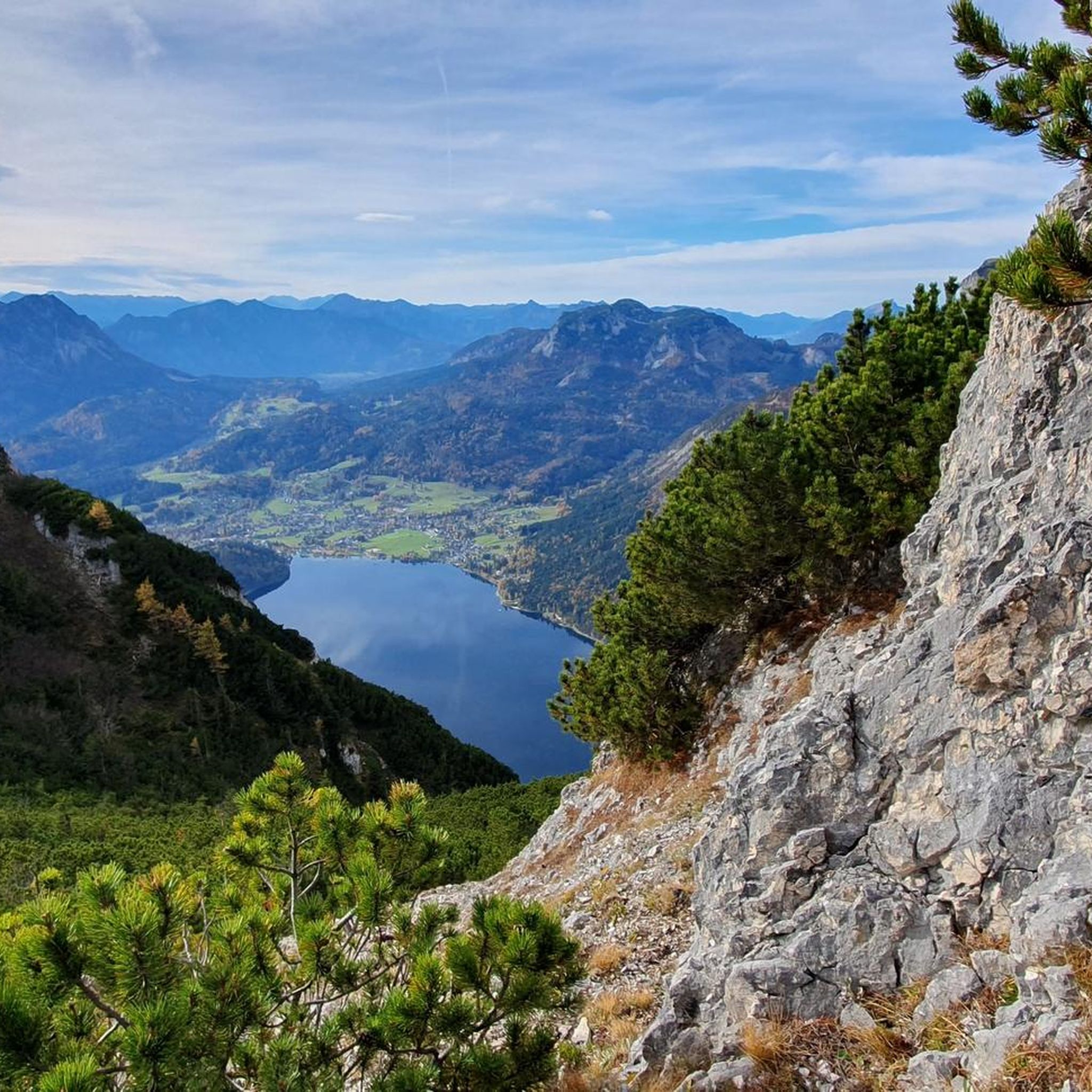
Cycling in Naturschutzgebiet - Westteil Des Toten Gebirges
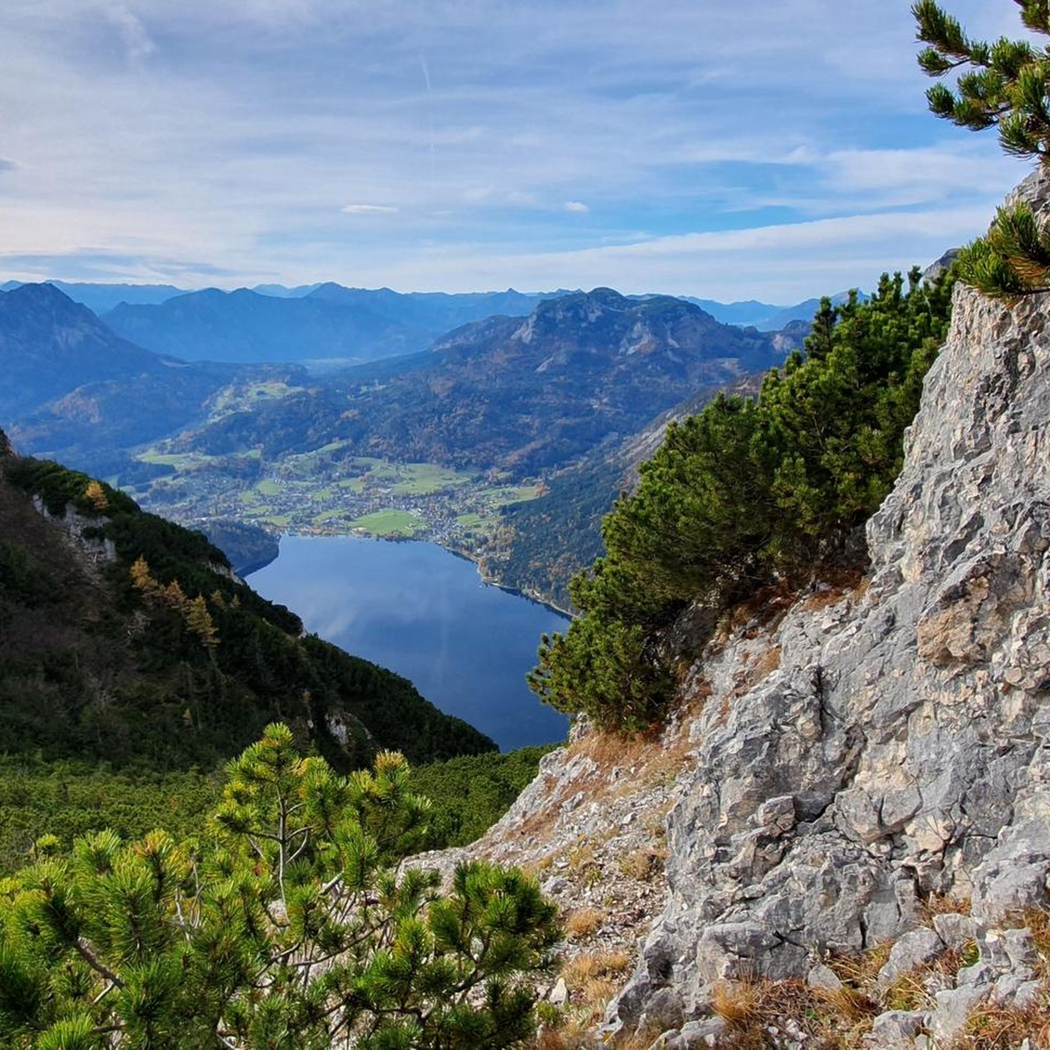
Road Cycling Routes in Naturschutzgebiet - Westteil Des Toten Gebirges
Mountain Hikes in Naturschutzgebiet - Westteil Des Toten Gebirges
Running Trails in Naturschutzgebiet - Westteil Des Toten Gebirges
Other adventures in Naturschutzgebiet - Westteil Des Toten Gebirges


Tips from the Community

nice, cozy hut in a great environment with good cuisine
0
0

The conditions for a day of snowshoeing in Altaussee are quickly created: simply ask at the reception of the AlpenParks Hagan Lodge Altaussee about rental equipment for snowshoeing. What you should bring with you: sturdy high hiking boots (not ski boots), appropriate hiking clothing, gloves, hat, sunglasses, small backpack with water bottle.
1
0

The path is very easy to walk
0
0
The walk around the lake takes about 90 minutes.
0
0

The short climb is worth it for this fantastic view. 3 wooden beams offer a break before you can continue hiking to the Anger, or decide to hike back down to the Loser Alm
0
0

I parked my car down by the Aussee at 3:00 a.m. and climbed through the night to the summit. I arrived at the summit cross at 5:45 a.m. The path, which is quite steep in places, requires a lot of strength, but every step was worth it when I enjoyed my coffee and breakfast at the top while watching the sunrise.
2
1


Beautiful green shimmering lake. Very natural. Trips with "wooden barges" are offered.
2
0
Frequently Asked Questions
What unique geological features can I explore in Naturschutzgebiet - Westteil Des Toten Gebirges?
The region is renowned for its extensive karst landscape, considered the largest limestone karst plateau in Central Europe. You can observe fascinating surface features like dolines (sinkholes), crevices, and shafts. Beneath the surface, there's a vast underground drainage system, exemplified by the Schönberg Cave System, one of the longest in the Eastern Alps, showcasing the powerful geological processes at play.
Are there any notable viewpoints for scenic photography in the region?
Yes, the area offers several stunning viewpoints. The Loser Summit (1837 m) provides expansive panoramic views over Altaussee and towards the Dachstein area. Another popular spot is Loserfenster, a natural rock window offering breathtaking vistas of the Totes Gebirge.
What kind of natural monuments are suitable for families?
For families, Lake Toplitz is a great option, known for its depth and offering boat trips to other nearby natural features. The Lakeside Trail at Lake Altaussee also provides a charming walking path with views of the Totes Gebirge and Dachstein massif, making it ideal for a leisurely family outing.
What are the typical hiking conditions and terrain like in Naturschutzgebiet - Westteil Des Toten Gebirges?
The terrain in the Westteil Des Toten Gebirges is characterized by an arid karst plateau with steep cliffs, gorges, and a 'lunar-like landscape' of boulders and unique formations. Hiking here often involves navigating rocky paths and significant elevation changes. Sturdy shoes and hiking poles are highly recommended due to the challenging nature of the terrain.
What is the best time of year to visit the natural monuments in this region?
The best time to visit is generally from late spring to early autumn (June to October) when the weather is milder and trails are clear of snow. During this period, you can fully appreciate the unique flora, such as the 'battle zone of the forest' at higher altitudes, and enjoy hiking without the challenges of winter conditions.
Are there opportunities for outdoor activities like hiking or cycling near these natural monuments?
Yes, the region offers numerous opportunities for outdoor activities. You can find challenging mountain hikes, such as the Loser Window – Lake Augstsee loop. For those interested in running, routes like the View of Dachstein loop are available. Cycling routes, including the Lake Altaussee – Blaa Alm loop, also allow you to explore the scenic landscapes.
Where can I find accommodation or refreshments near the natural monuments?
The Pühringerhütte offers accommodation, facilities, and a restaurant, making it an ideal overnight stop for hikers. Additionally, the Fisherman's Hut is located directly on the shores of Lake Toplitz, providing a place for refreshments.
What kind of unique plant life can be observed in the Totes Gebirge?
The subalpine forests of the Totes Gebirge feature spruce, larch, and Swiss pine. At higher altitudes, you can observe the 'battle zone of the forest' and 'krummholz formation belt,' where trees grow in stunted, bizarre shapes due to the harsh environmental conditions, short vegetation periods, and strong winds. This unique adaptation is a natural spectacle in itself.
Are there any specific tips for visiting Loserfenster?
When visiting Loserfenster, it's recommended to have a good level of fitness and wear sturdy shoes; hiking poles are also advisable. The path involves some climbing, and visitors should not be afraid of heights to fully enjoy the panoramic views from this several-meter-high rock formation.
How can I reach the natural monuments using public transport?
While specific public transport routes directly to all natural monuments can vary, the region around the Totes Gebirge is generally accessible. For detailed information on bus schedules and connections to trailheads or specific lakes like Grundlsee or Altaussee, it's best to check local transport provider websites or tourist information centers in nearby towns such as Altaussee or Bad Aussee.
What do visitors enjoy most about the natural monuments in Naturschutzgebiet - Westteil Des Toten Gebirges?
Visitors frequently praise the indescribable views, especially from spots like the Loser Summit, which offers clear panoramas over Altaussee and the Dachstein. The unique geological formations, the serene beauty of the alpine lakes, and the challenging yet rewarding hiking experiences are also highly appreciated by the komoot community.
Are there any specific considerations for dog owners when visiting the natural monuments?
While many outdoor areas are dog-friendly, it's always advisable to keep dogs on a leash, especially in nature reserves, to protect wildlife and ensure the safety of other visitors. For specific accommodations like the Pühringerhütte, stays with dogs are available upon request, so it's best to inquire in advance.
Most popular routes in Naturschutzgebiet - Westteil Des Toten Gebirges
Most popular attractions in Naturschutzgebiet - Westteil Des Toten Gebirges

Get inspired with the komoot mobile app


Explore more
Extend your search for the best caves by checking out these guides of the top ones in Naturschutzgebiet - Westteil Des Toten Gebirges:
