The best walks and hikes in Naturschutzgebiet - Westteil Des Toten Gebirges
4.6
(12401)
80,719
hikers
46
hikes
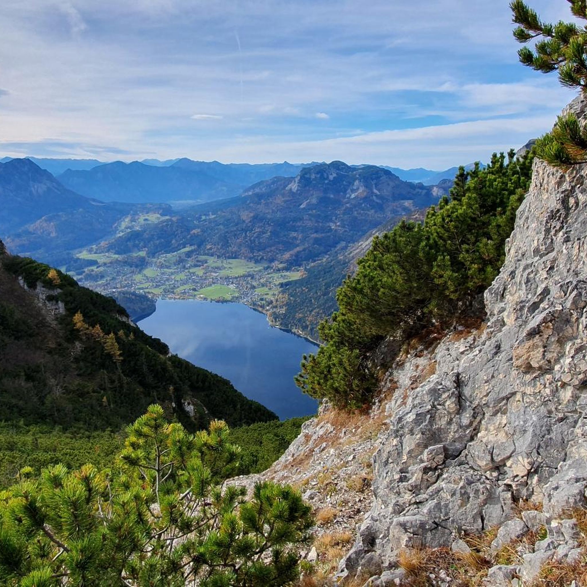
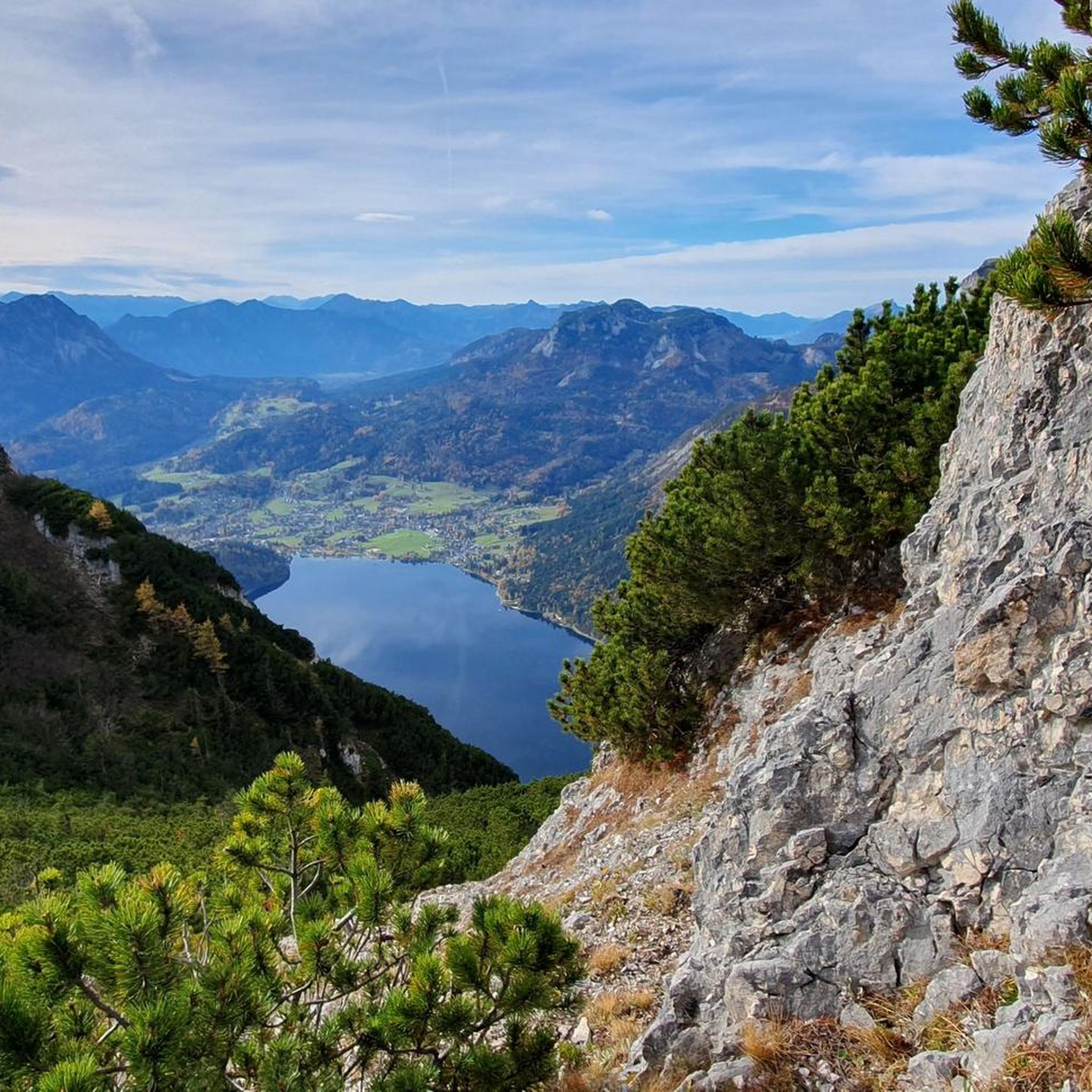
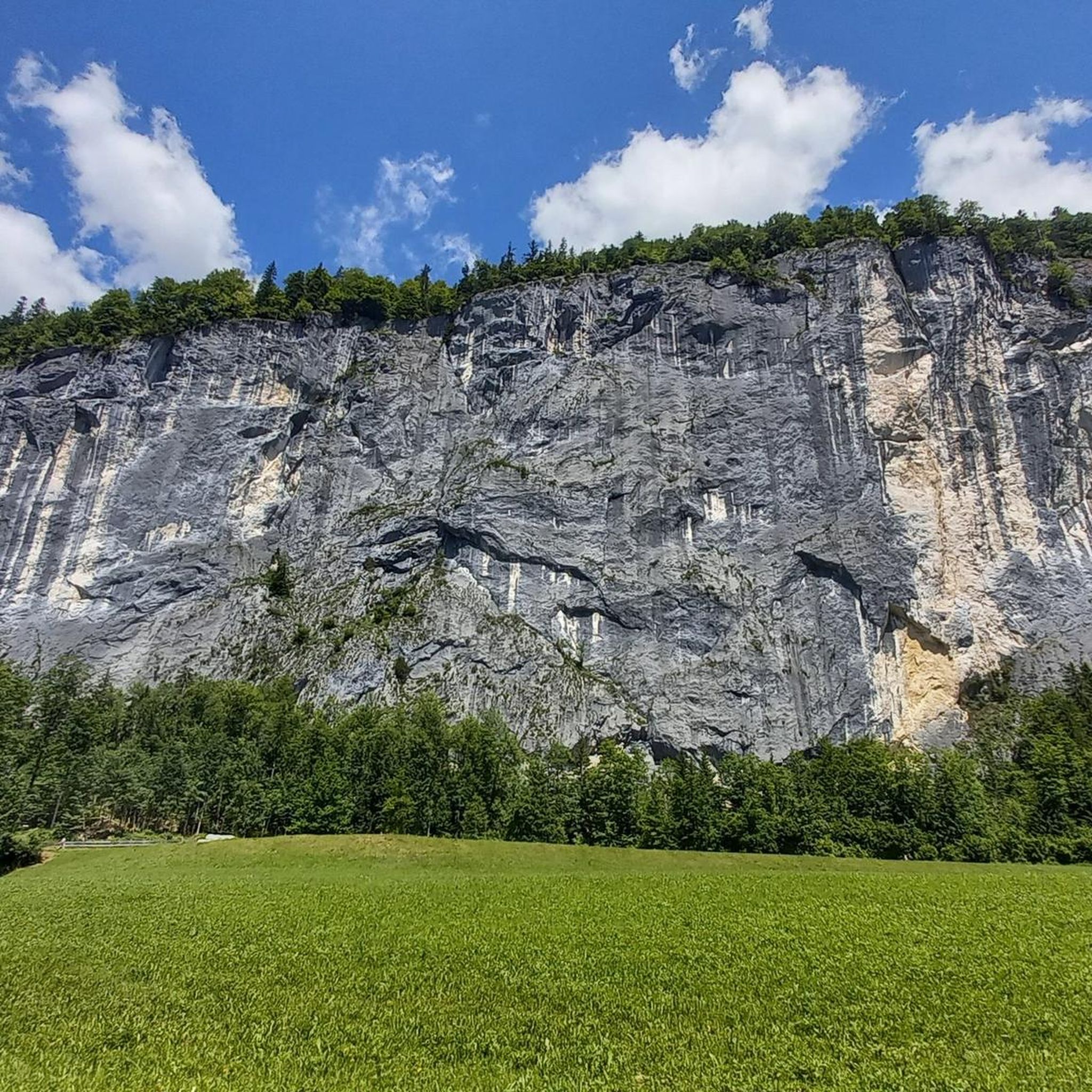
Hiking trails in Naturschutzgebiet - Westteil Des Toten Gebirges traverse a dramatic and rugged limestone karst plateau, one of Central Europe's largest. This unique geological formation results in a deeply carved landscape, often largely vegetation-free, featuring impressive geological formations and vast open karst fields. The region is also characterized by numerous mountain lakes such as Altausseer See, Grundlsee, and Toplitzsee, which offer picturesque views. Prominent summits like Loser and Bräuningzin provide panoramic vistas across the high mountain terrain.
Best hiking…
Last updated: August 3, 2026
4.8
(89)
470
hikers
8.86km
04:18
590m
590m
Hard hike. Good fitness required. Sure-footedness, sturdy shoes and alpine experience required.
4.8
(239)
1,523
hikers
5.25km
02:57
520m
520m
Hard hike. Good fitness required. Sure-footedness, sturdy shoes and alpine experience required.

Sign up for free
4.7
(85)
579
hikers
Easy hike. Great for any fitness level. Easily-accessible paths. Suitable for all skill levels.
4.9
(99)
544
hikers
Easy hike. Great for any fitness level. Easily-accessible paths. Suitable for all skill levels.
4.9
(84)
464
hikers
Moderate hike. Good fitness required. Mostly accessible paths. Sure-footedness required.
Get access to more routes and recommendations from other explorers.
Sign up for free
Already have an account?
Our route recommendations are based on thousands of hikes, rides, and runs completed by other people on komoot.
Start today with a free account
Your next adventure awaits.
Login or Signup
Popular around Naturschutzgebiet - Westteil Des Toten Gebirges

North Alpine Trail 01 – Hike across Austria in 49 days
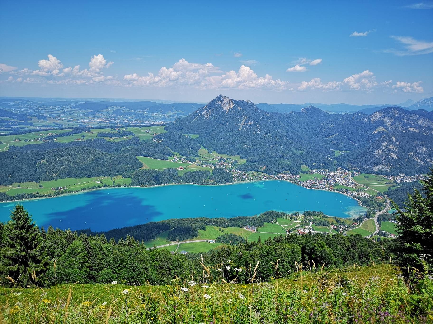
BergeSeen Trail – Long distance hiking in Austria's Salzkammergut with mountains and lakes galore
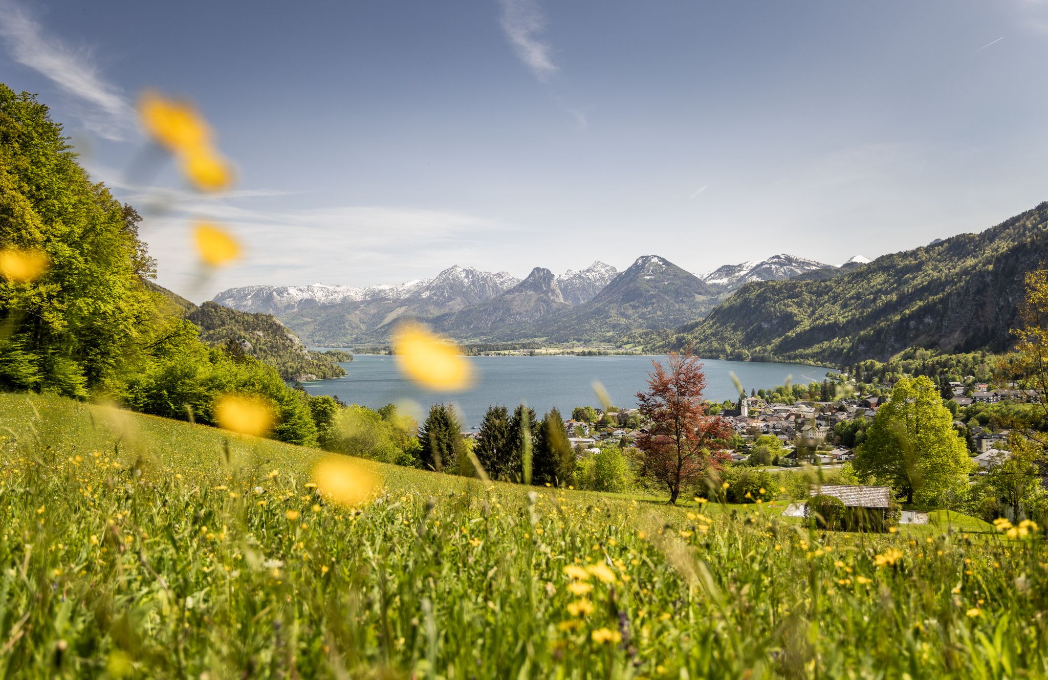
Between water and rock – hiking in Salzkammergut
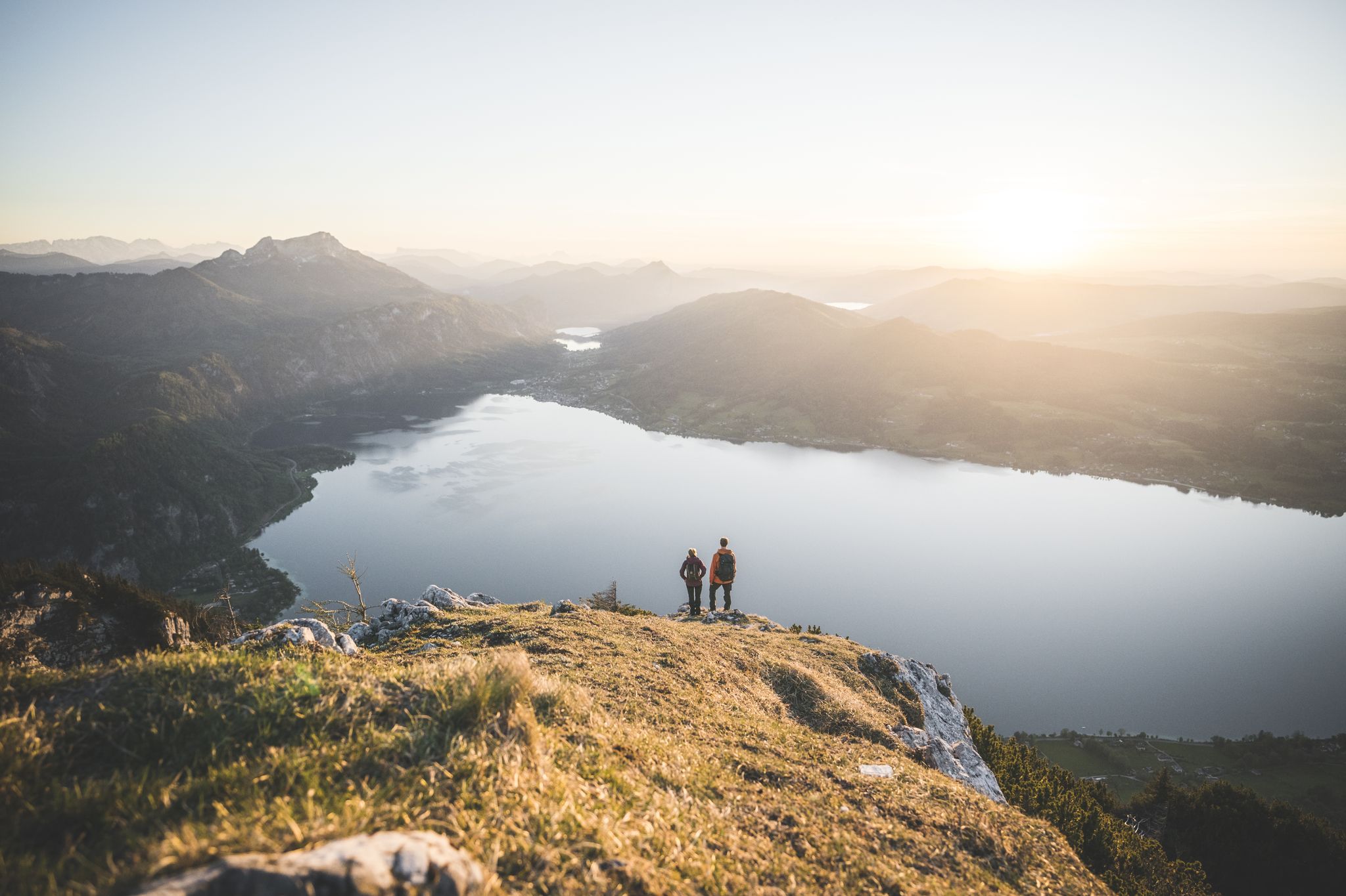
Explore the Salzkammergut on the BergeSeen Trail
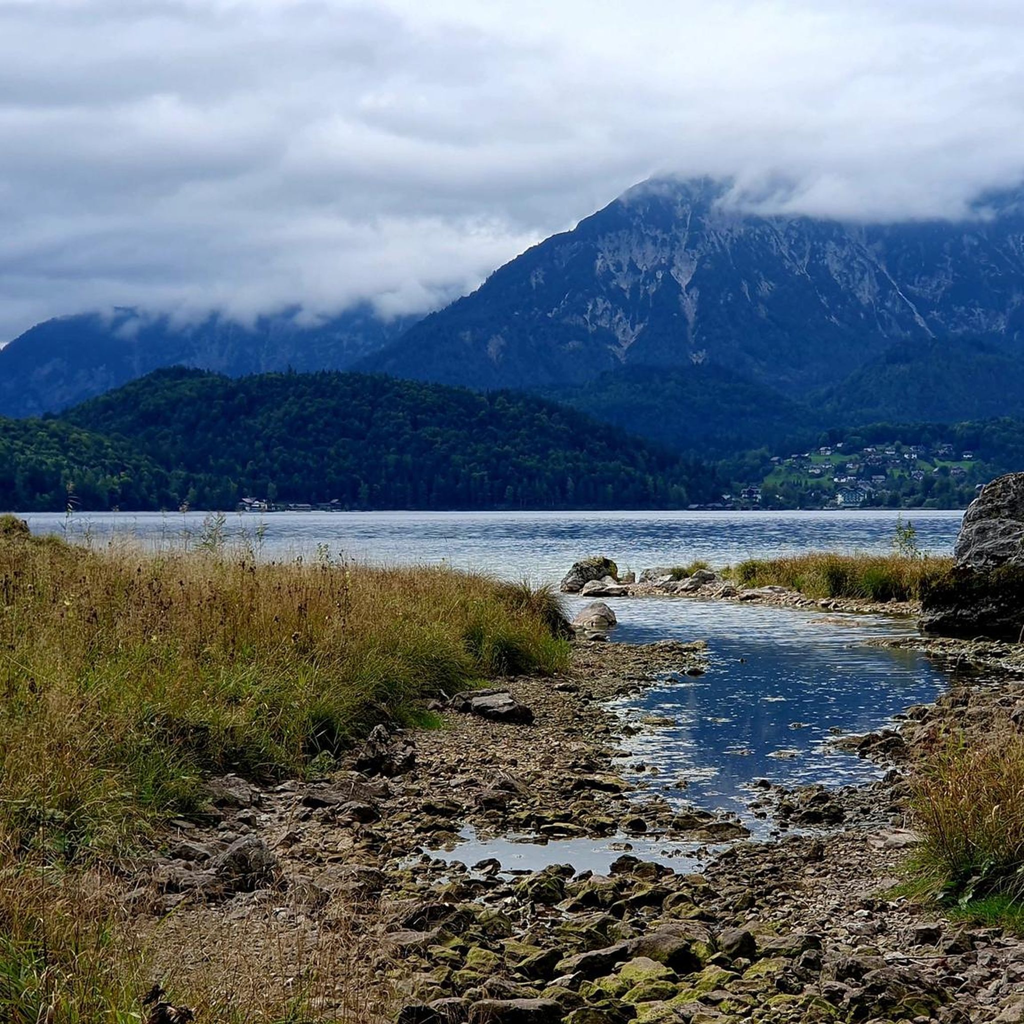
MTB Trails in Naturschutzgebiet - Westteil Des Toten Gebirges
Cycling in Naturschutzgebiet - Westteil Des Toten Gebirges
Road Cycling Routes in Naturschutzgebiet - Westteil Des Toten Gebirges
Mountain Hikes in Naturschutzgebiet - Westteil Des Toten Gebirges
Running Trails in Naturschutzgebiet - Westteil Des Toten Gebirges
Gravel biking in Naturschutzgebiet - Westteil Des Toten Gebirges
Other adventures in Naturschutzgebiet - Westteil Des Toten Gebirges


Tips from the Community

Attention: this is NOT the viewpoint, it is 2km further down in the valley But a nice path to get there
0
0


Simply a beautiful place 🌿
0
0

Two hours from the mountain station, a bit of a climb, hiking boots required. Magnificent views along the way.
0
0
Simply enjoy this quiet and wonderful place. Regular sneakers are sufficient for a walk around Lake Aust.
0
1

Exciting for all ages. A great idea.
0
0

Very nice cabin right on the lake! Very good service and excellent food!
0
0
Frequently Asked Questions
How many hiking trails are available in Naturschutzgebiet - Westteil Des Toten Gebirges?
There are nearly 50 hiking trails in Naturschutzgebiet - Westteil Des Toten Gebirges, offering a wide range of options for different skill levels. You'll find everything from easy lakeside strolls to challenging multi-summit tours.
What kind of terrain can I expect when hiking in this region?
The region is characterized by a dramatic and rugged limestone karst plateau, one of Central Europe's largest. This unique geology results in a deeply carved landscape, often largely vegetation-free, with impressive geological formations and vast open karst fields. You'll also encounter numerous stunning mountain lakes and high peaks.
Are there any easy, family-friendly hiking options?
Yes, there are 8 easy trails suitable for families. For instance, the Fisherman's Hut at Lake Toplitz – Lake Toplitz loop from Parkplatz Rostiger Anker is an easy 3.7 km path through lakeside forest, perfect for a relaxed outing. Another easy option is the Lake Toplitz – Fisherman's Hut at Lake Toplitz loop from Parkplatz Rostiger Anker.
What are some notable natural features or landmarks to look out for?
The region is rich in natural beauty. You can explore the unique karst topography, visit picturesque mountain lakes like Altausseer See, Grundlsee, and Toplitzsee, or ascend prominent summits such as Loser and Bräuningzin for panoramic views. Don't miss the Loserfenster, a natural rock arch offering spectacular vistas, or the Loser Summit (1837 m) itself.
Are there any circular hiking routes available?
Yes, many routes in the region are circular. For a challenging experience, consider the Loser 4-Summit-1-Lake Trail, which is an 8.9 km loop encompassing four summits. For a moderate option, the View of Lake Grundlsee from Gößl – Ranftl Mill on the Stimitzbach loop from Toplitzsee offers a 12 km circular path.
What do other hikers say about the trails in Naturschutzgebiet - Westteil Des Toten Gebirges?
The trails are highly regarded by the komoot community, with an average rating of 4.5 stars from over 5,100 reviews. Hikers frequently praise the stunning panoramic views from the peaks, the crystal-clear mountain lakes, and the unique, rugged karst landscape that makes the region so distinctive.
Are there opportunities for multi-day hikes and where can I stay overnight?
Yes, the region is excellent for multi-day treks. A network of mountain huts supports longer adventures, allowing you to traverse secluded alpine pastures and quiet mountain lakes. Notable huts include the Albert-Appel-Haus, Loserhütte, and Pühringerhütte. You can find more information on these and other accommodations in the Huts and Cabins guide.
What is the best time of year to go hiking in this nature reserve?
The best time for hiking in Naturschutzgebiet - Westteil Des Toten Gebirges is generally from late spring to early autumn (May to October). During these months, the weather is more stable, and trails are typically free of snow, making all routes, including high-alpine tours, accessible. Always check local weather conditions before heading out.
Are there any trails that offer particularly good views of the lakes?
Absolutely. Many trails provide stunning lake views. The Loserfenster – View of Austsee loop from Altausseer See offers significant elevation gain and direct views over the Austsee. The area around Altausseer See, Grundlsee, and Toplitzsee is particularly scenic, with paths often running directly along the shorelines or offering elevated perspectives.
What is the general difficulty level of hikes in the western Totes Gebirge?
The hiking trails in this region cater to a broad range of abilities. While there are 8 easy routes and 16 moderate ones, the majority (25 out of 49) are classified as difficult. These challenging routes often involve significant elevation gain and rugged terrain, requiring good fitness and alpine experience. Always check the specific route details before you go.
Can I access the hiking trails using public transport?
While specific public transport details vary by trailhead, some areas around the major lakes like Altausseer See, Grundlsee, and Toplitzsee are generally more accessible by public transport than the more remote, higher-altitude trailheads. It's advisable to research specific bus routes or shuttle services to your chosen starting point.
Are there any specific safety considerations for hiking in this area?
Given the rugged karst topography and high mountain peaks, safety is paramount. Many trails, especially the difficult ones, require good physical condition, appropriate gear, and alpine experience. Weather conditions can change rapidly in the mountains, so always be prepared for sudden shifts. For multi-day tours, ensure you are well-equipped and aware of the routes between mountain huts.
Most popular routes in Naturschutzgebiet - Westteil Des Toten Gebirges
Most popular attractions in Naturschutzgebiet - Westteil Des Toten Gebirges

Get inspired with the komoot mobile app


Explore more
Browse the best Hikes in other regions.
