The best hikes from bus stations in Naturschutzgebiet - Westteil Des Toten Gebirges
4.6
(12485)
81,033
hikers
489
hikes
Bus station hiking trails in Naturschutzgebiet - Westteil Des Toten Gebirges traverse a diverse landscape characterized by its distinctive karst formations, high plateaus, and majestic peaks. The region features expansive, often arid, upper slopes with impressive rock faces and numerous mountain lakes. Lower and middle elevations offer green alpine pastures, while higher altitudes present dwarf pine fields and Krummholz belts.
Best bus station hiking trails in Naturschutzgebiet - Westteil Des Toten Gebirges
- The most popular bus station hiking route is…
Last updated: August 5, 2026
4.9
(21)
163
hikers
9.62km
04:52
810m
810m
Moderate hike. Good fitness required. Mostly accessible paths. Sure-footedness required.
4.7
(60)
222
hikers
7.23km
03:01
430m
430m
Moderate hike. Good fitness required. Mostly accessible paths. Sure-footedness required.

Sign up for free
4.9
(18)
126
hikers
8.09km
04:16
710m
710m
Moderate hike. Good fitness required. Mostly accessible paths. Sure-footedness required.
4.7
(80)
534
hikers
2.91km
01:22
230m
230m
Moderate hike. Great for any fitness level. Mostly accessible paths. Sure-footedness required.
4.6
(32)
133
hikers
11.5km
03:36
390m
390m
Moderate hike. Good fitness required. Easily-accessible paths. Suitable for all skill levels.
Get access to more routes and recommendations from other explorers.
Sign up for free
Already have an account?
Our route recommendations are based on thousands of hikes, rides, and runs completed by other people on komoot.
Start today with a free account
Your next adventure awaits.
Login or Signup
Popular around Naturschutzgebiet - Westteil Des Toten Gebirges

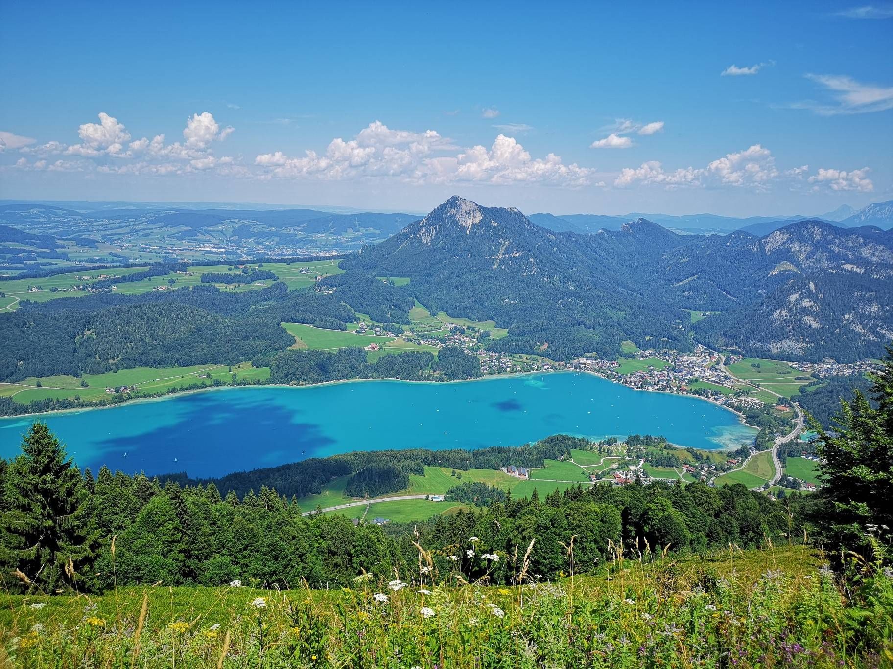
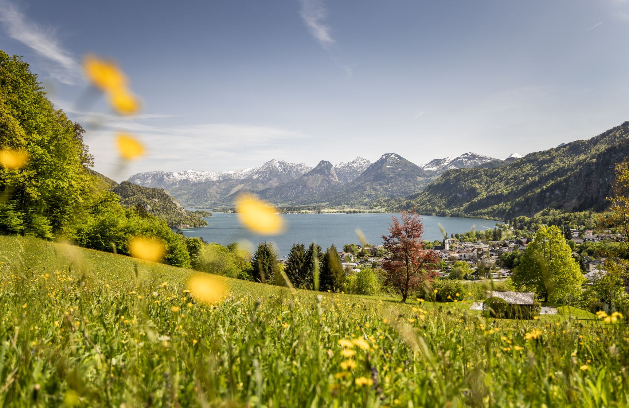
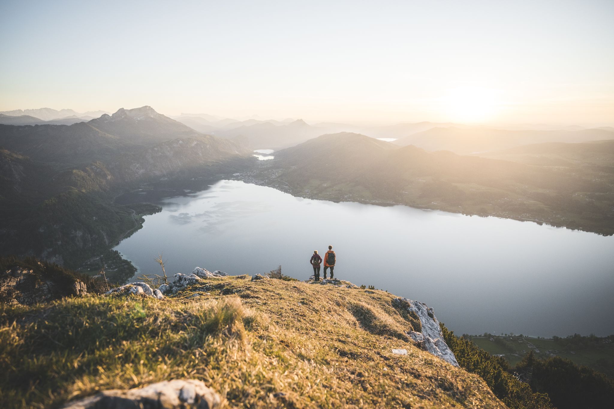
Other adventures in Naturschutzgebiet - Westteil Des Toten Gebirges


Tips from the Community

beautiful, but completely overrun
0
0

Idyllically situated alpine farm. Snack menu with delicious regional products.
0
0


The little rock
0
0
On the way to Altausee past the Tressenstein
0
0

probably the only place to replenish water reserves
0
0

Magnificent views of the Dachstein glacier, Totes Gebirge with Loser, Grimming, Schladminger Tauern, Grundsee and Altaussee and many more.
0
0
Frequently Asked Questions
How many bus station hiking trails are available in Naturschutzgebiet - Westteil Des Toten Gebirges?
There are over 500 hiking routes accessible from bus stations in Naturschutzgebiet - Westteil Des Toten Gebirges. These include a wide range of options, with nearly 200 easy trails, over 200 moderate routes, and close to 100 difficult expeditions, ensuring something for every fitness level.
What kind of terrain can I expect on bus-accessible hikes in this region?
The region is characterized by its unique karst landscape, featuring expansive high plateaus, impressive rock faces, and numerous caves, gorges, and crevices. While some lower and middle elevations offer green alpine pastures, higher altitudes present dwarf pine fields and rocky terrain. Expect varied surfaces, from well-maintained paths to more rugged, stony trails, especially on routes leading to summits.
Are there any circular hiking routes that start and end at a bus stop?
Yes, many routes are designed as circular walks for convenience. For example, the moderate route View of Grundlsee – Trisselwand Summit loop from Altausseer See offers stunning vistas and brings you back to your starting point. Another option is the Lake Altaussee – Windberg Tower loop from Altaussee, which provides a scenic tour around the lake.
What are some notable natural features or landmarks I can see on these trails?
The region is rich in natural beauty. You can discover majestic peaks like the Loser Summit (1837 m), offering panoramic views of Altaussee and Dachstein. The unique karst formations include the striking Loserfenster. Additionally, crystal-clear mountain lakes such as Lake Toplitz, Wildensee, and Vorderer Lahngangsee are popular attractions.
Are there any trails featuring waterfalls accessible by bus?
Yes, you can find routes that pass by beautiful waterfalls. The Zimitzbach Waterfalls – Grundlsee loop from Toplitzsee is a moderate hike that allows you to experience the refreshing Zimitzbach Waterfalls, making for a picturesque journey.
What is the best season for hiking from bus stations in Naturschutzgebiet - Westteil Des Toten Gebirges?
The best time for hiking is generally from late spring to early autumn (May to October). During these months, trails are typically clear of snow, and the weather is more stable. The region's diverse vegetation, from alpine pastures to dwarf pine fields, is vibrant, and mountain lakes are particularly inviting. Winter hiking is possible but requires specific gear and awareness of seasonal dangers.
Are there any family-friendly hiking options accessible by public transport?
Yes, there are many easy and moderate routes suitable for families. While specific family-friendly routes are not detailed here, the region offers nearly 200 easy trails. Look for routes with minimal elevation gain and shorter distances, often found around the scenic lakes like Altausseer See or Grundlsee, which are well-served by bus routes.
What do other hikers say about the bus-accessible trails in this region?
The komoot community highly rates the hiking experience in Naturschutzgebiet - Westteil Des Toten Gebirges, with an average score of 4.6 stars. Reviewers often praise the stunning natural beauty, the well-maintained paths, and the accessibility of diverse trails from public transport stops, making it easy to explore the dramatic karst landscapes and serene mountain lakes.
Can I find mountain huts or places to rest along the bus-accessible routes?
Yes, the region features several mountain huts that can serve as rest stops or even overnight accommodation for longer treks. Notable huts include Loserhütte, Pühringerhütte, and Bad Ischl Hut. These provide opportunities for refreshments and shelter, enhancing the hiking experience.
Are there any challenging hikes accessible from bus stops for experienced hikers?
Absolutely. For experienced hikers seeking a challenge, there are nearly 100 difficult routes available. An example is the demanding Grundlsee – View of Backenstein loop from Gößl, which involves significant elevation gain and offers rewarding views. These routes often lead to higher peaks and require good physical condition and appropriate gear.
What should I pack for a bus-accessible hike in Naturschutzgebiet - Westteil Des Toten Gebirges?
Given the varied terrain and potential for changing weather, it's advisable to pack sturdy hiking boots, layers of clothing, rain gear, sufficient water, and snacks. A map or GPS device is also recommended, especially for longer or more challenging routes. Sun protection is crucial, and for routes with significant elevation, trekking poles can be beneficial.
Most popular routes in Naturschutzgebiet - Westteil Des Toten Gebirges
Most popular attractions in Naturschutzgebiet - Westteil Des Toten Gebirges

Get inspired with the komoot mobile app


Explore more
Browse the best Hikes in other regions.
