Area C (Pemberton Valley/Mount Currie/D'Arcy)
Area C (Pemberton Valley/Mount Currie/D'Arcy)
Top 18 Natural Monuments around Area C (Pemberton Valley/Mount Currie/D'Arcy)
Best natural monuments around Area C (Pemberton Valley/Mount Currie/D'Arcy) include a diverse range of natural features. This region in British Columbia encompasses towering mountains, serene lakes, and expansive wetlands. It offers opportunities to observe geological formations, glacial landscapes, and significant wildlife habitats. The area provides a setting for outdoor exploration and appreciation of natural environments.
Best natural monuments around Area C (Pemberton Valley/Mount Currie/D'Arcy)
- The most popular natural monument is Nairn Falls, a waterfall where the Green River carves…
Last updated: October 11, 2026
Nairn Falls
Highlight • Waterfall
Translated by Google •
Tip by

Brandywine Falls
Highlight • Waterfall
Tip by

Sign up now to discover places like this
Get recommendations on the best single tracks, peaks, & plenty of other exciting outdoor places.
Garibaldi Lake
Highlight • Lake
Translated by Google •
Tip by

Lower Joffre Lake
Highlight • Lake
The lake receives water from nearby glaciers, mainly …
Translated by Google •
Tip by

Upper Joffre Lake
Highlight • Lake
Tip by

Sign up for free to discover even more natural monuments around Area C (Pemberton Valley/Mount Currie/D'Arcy).
Already have an account?
Start today with a free account
Your next adventure awaits.
Popular around Area C (Pemberton Valley/Mount Currie/D'Arcy)

Vancouver roundtrip — Bikepacking British Columbia

Pacific charm and peak happiness in British Columbia

Forests, desert, wilderness - day tours in British Columbia

Breathtaking British Columbia — hikes near Squamish & Whistler

MTB Road Trip Sea-to-Sky – dream trails in British Columbia
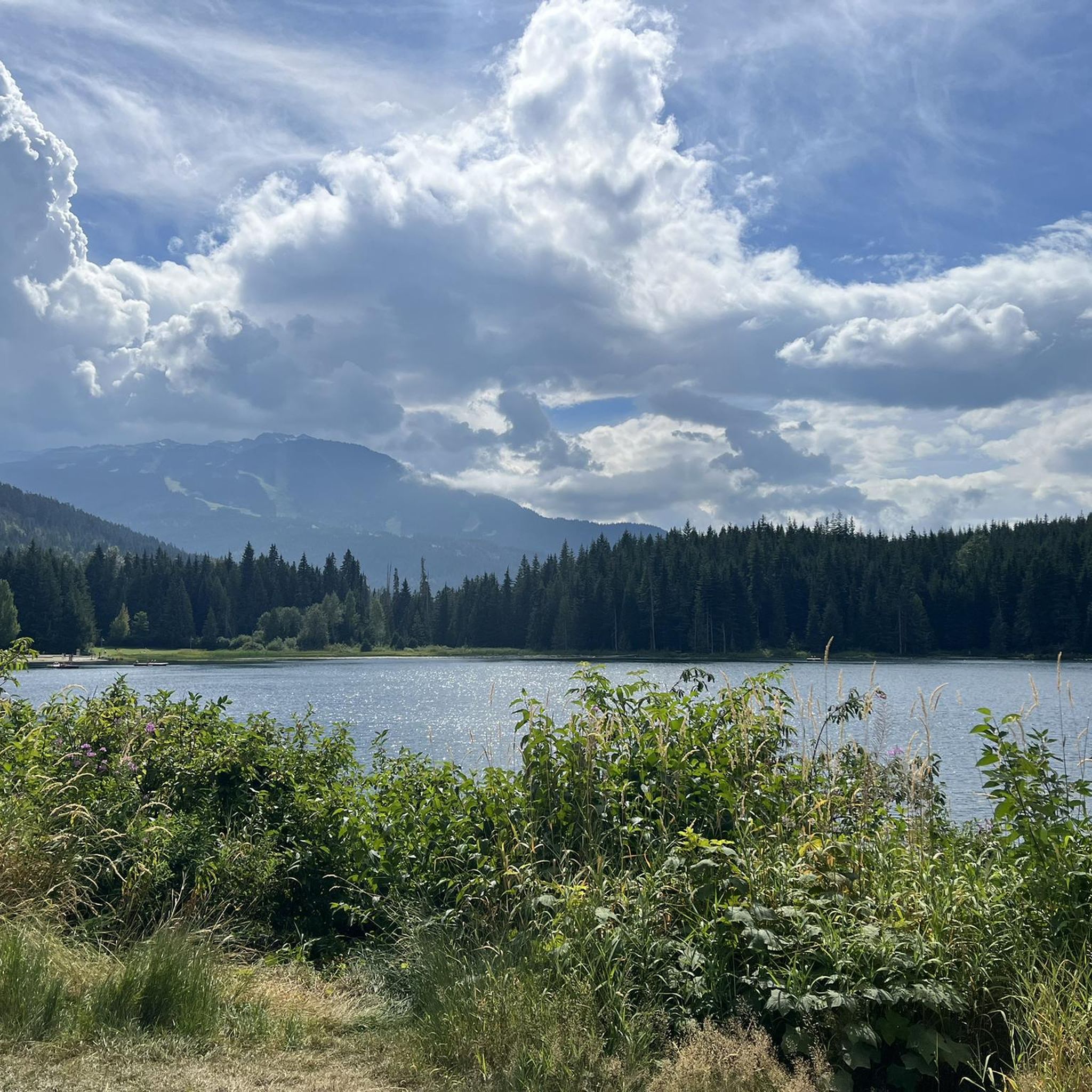
Hiking around Area C (Pemberton Valley/Mount Currie/D'Arcy)
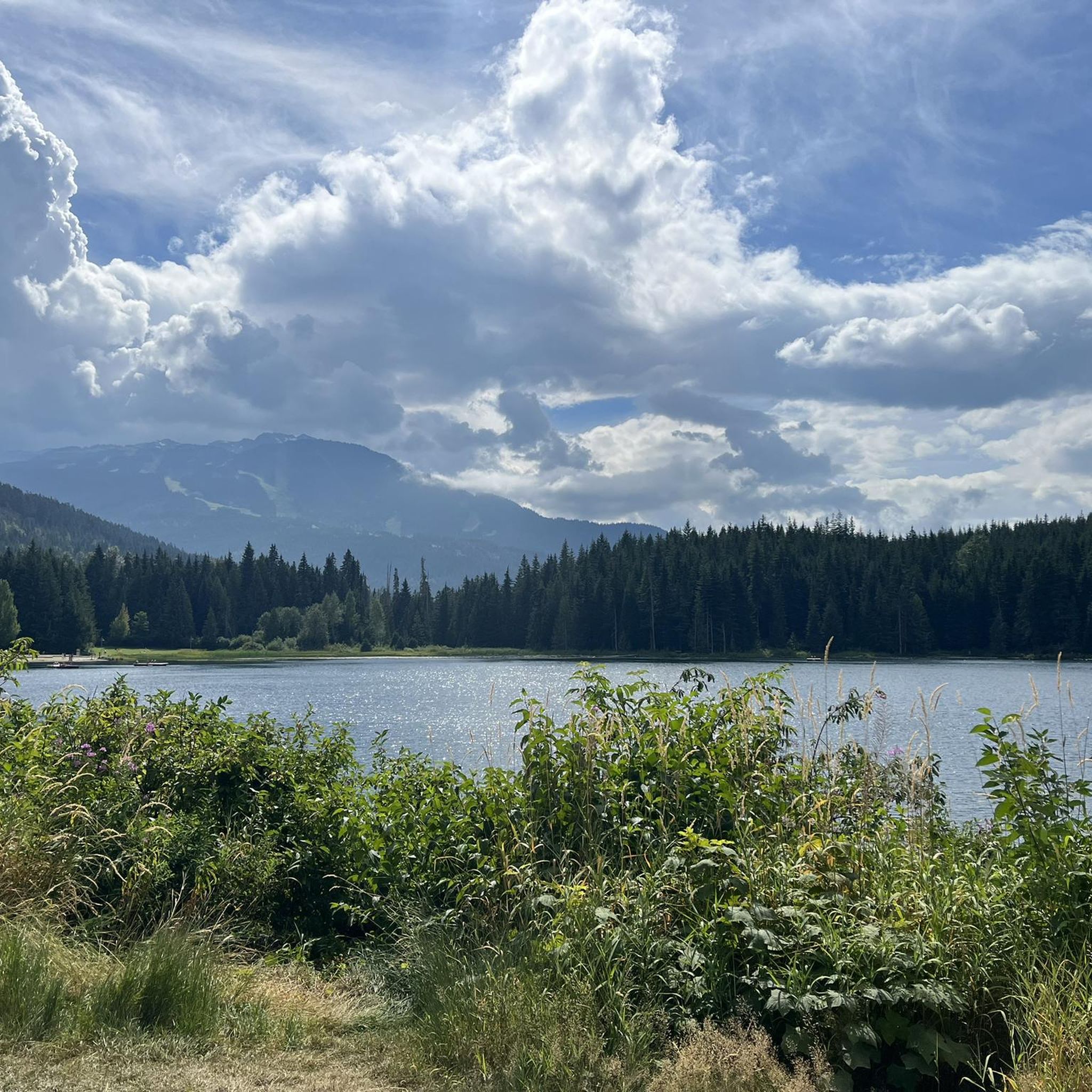
MTB Trails around Area C (Pemberton Valley/Mount Currie/D'Arcy)
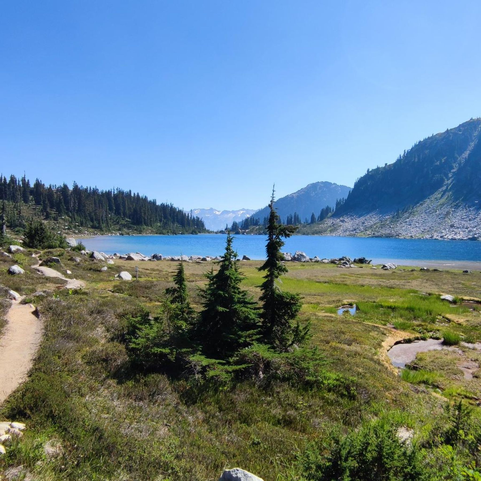
Cycling around Area C (Pemberton Valley/Mount Currie/D'Arcy)
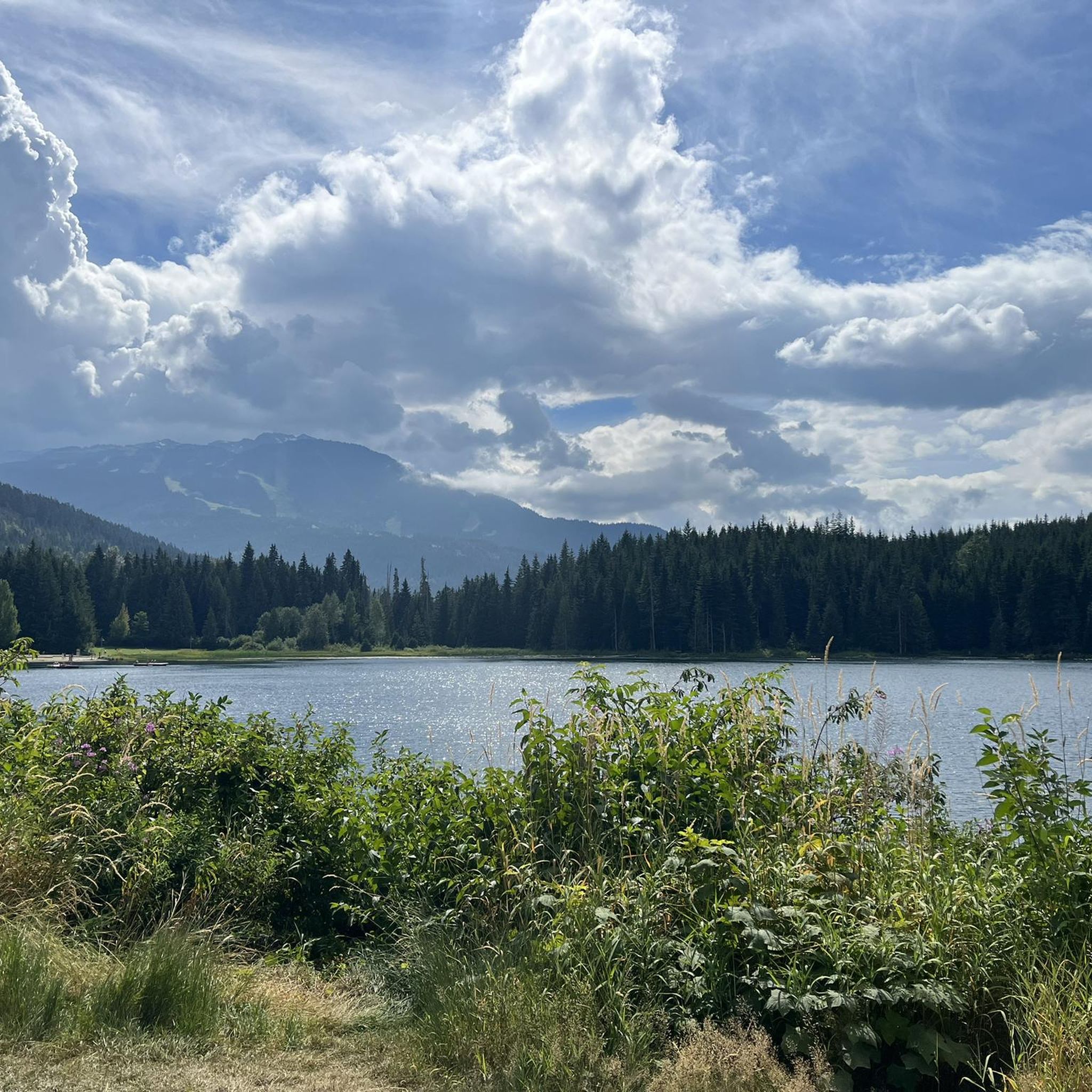
Running Trails around Area C (Pemberton Valley/Mount Currie/D'Arcy)
Road Cycling Routes around Area C (Pemberton Valley/Mount Currie/D'Arcy)
Other adventures around Area C (Pemberton Valley/Mount Currie/D'Arcy)


Tips from the Community


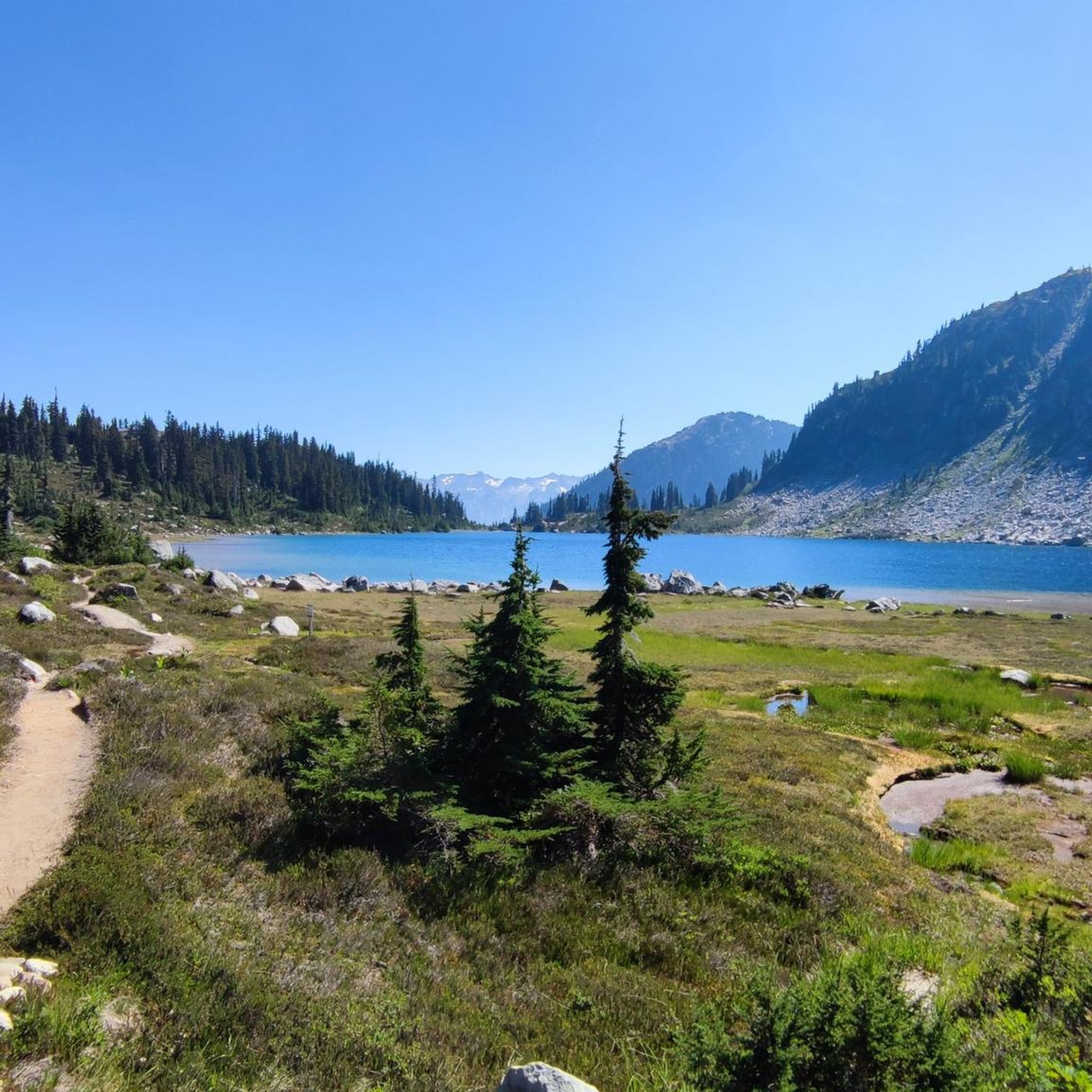
Upper Joffre Lake lies at an elevation of 1,570 m and is easily accessible along a shady forest trail. Below the lake, the ascent takes you past the rushing Holloway Falls. There is an elevation difference of approximately 60 meters between Middle and Upper Joffre Lake. The lakeshore offers a stunning panorama, including Joffre Peak and Slalok Mountain, as well as the glacial base of Mount Matier; the mountain peak itself is not visible from here. (Visit May 28, 2025)
2
0
A few kilometers before the town of Pemberton, the Green River cascades down a gorge to form Nairn Falls. Access to the falls is via Highway 99, about 25 km east of Whistler. From the large parking lot, the falls are reached after 1,500 meters on a beautiful, almost level forest trail. The water cascades approximately 36 meters into the gorge in two stages. https://www.worldwaterfalldatabase.com/waterfall/Nairn-Falls-2062 Nairn Falls are popular and attract numerous visitors, partly due to the convenient location of the parking lot directly on Highway 99. https://bcparks.ca/nairn-falls-park/
2
1
From the southern vantage point of Brandywine Falls, you have a magnificent view of Daisy Lake Reservoir and Black Tusk Mountain in the Garibaldi Ranges of the Coast Mountains. The Daisy Lake Reservoir was created in 1926 after the construction of the Cheakamus Dam; the dam was replaced in 1984. The reservoir is part of the Cheakamus Hydroelectric Power Plant on the Squamish River. https://www.bchydro.com/energy-in-bc/operations/transmission-reservoir-data/previous-reservoir-elevations/lower-mainland/daisy_lake_dsy.html
0
0

The direct route from the parking lot to Garibaldi Lake is easily doable even in early May, as the snow on the trails is already packed. Before that, we hiked up to Panaroma Ridge, which is almost impossible without snowshoes or something similar at this time of year (1.80 meters of snow), but at least you're completely alone there.
0
0
Brandywine Falls is a popular waterfall along the Sea-to-Sky Corridor between Vancouver and Whistler. The falls plunge 59 meters over a cliff that was carved into a deep canyon by eruptions from the nearby Garibaldi volcanic field and the erosive power of Brandywine Creek. Brandywine Creek originates from two glaciers on Brandywine Mountain and Mount Fee. The name of the Falls is said to come from a bet between two Canadian Pacific Railroad workers who bet on the height of the Falls. There are different estimates of the height of the Falls: BC Provincial Park Service - 70 meters; other sources - 65 meters. Measurements in May 2018 showed a height of 59 meters. (Visit June 5, 2018 & May 24, 2025) https://www.worldwaterfalldatabase.com/waterfall/Brandywine-Falls-2036
2
0
Lower Joffre Lake is part of the Joffre Lakes Provincial Park. Access to the Lake is via the Duffey Lake Road, BC Highway 99. The car park is located at the mountain pass (approx. 1,300 m) between the valleys of Cayoosh Creek and Joffre Creek. Joffre Lakes Park is a protected area, class A park, since 1996. Class A parks are dedicated to the preservation of their natural environments and are open to the public. (Visit June 4, 2018 & May 28, 2025) https://bcparks.ca/joffre-lakes-park/
2
0

So beautiful there Canada, unforgettable!!!!!!!
0
0
Frequently Asked Questions
What are some must-visit natural monuments in the Area C region?
The Area C region, encompassing Pemberton Valley, Mount Currie, and D'Arcy, offers a diverse range of natural monuments. Highly recommended spots include Nairn Falls, where the Green River carves through granite, and the stunning turquoise waters of Joffre Lakes Provincial Park, particularly Lower Joffre Lake and Middle Joffre Lake. Another popular destination is Garibaldi Lake, known for its glacial origins and vast area.
Are there family-friendly natural monuments in Pemberton Valley and surrounding areas?
Yes, several natural monuments are well-suited for families. Nairn Falls offers a family-friendly, relatively flat hiking trail to impressive waterfalls. One Mile Lake, just south of Pemberton, is also excellent for families with its swimming area, floating dock, picnic tables, and playground. The trail to Lower Joffre Lake is also considered family-friendly.
Which natural monuments offer opportunities for swimming or water activities?
For swimming and water activities, One Mile Lake near Pemberton is a popular choice with its designated swimming area. Birkenhead Lake Provincial Park offers clear waters suitable for swimming, fishing, and boating, with a boat launch available. Duffey Lake Provincial Park is ideal for canoeing and kayaking, though strong winds can occur. You can also swim in Garibaldi Lake after a strenuous climb.
What kind of wildlife can I expect to see at the natural monuments?
The Area C region is rich in wildlife. Duffey Lake Provincial Park protects habitats for mountain goats, grizzly bears, and black bears. Birkenhead Lake Provincial Park is home to spotted owls, mountain goats, black bears, and grizzly bears. The Pemberton Wetlands Wildlife Management Area is critical marsh habitat for waterfowl, fish, moose, beaver, otter, black bear, and various bird species, including endangered or threatened ones like the Spotted Owl and Trumpeter Swan. One Mile Lake is also a destination for birdwatchers, with Great Blue Herons, loons, Ospreys, and Trumpeter Swans.
Are there any natural hot springs in the Area C region?
Yes, Agnes Well Hot Springs, also known as T'sek Hot Springs or Skookumchuck Hot Springs, is located in the Lillooet River valley. This culturally significant site offers developed soaking tubs with temperatures ranging from 35.0°C to 50.0°C, providing a unique opportunity for relaxation.
What are the best natural monuments for hiking in the Area C region?
The region offers diverse hiking experiences. Mount Currie provides challenging full-day routes with significant elevation gain for experienced hikers. Joffre Lakes Provincial Park features a 10-kilometer round-trip trail connecting its three stunning lakes, with a technical climb to the Upper Lake. The hike to Rohr Lake is moderately difficult, traversing forest roads and a technical boulder field, offering spectacular alpine beauty. For an easier walk, Nairn Falls has a family-friendly trail.
When is the best time of year to visit the natural monuments around Pemberton Valley?
The best time to visit generally depends on the activity. Summer (June to September) is ideal for hiking, swimming, and camping, offering warm weather and full access to trails. Spring and fall can offer beautiful scenery with fewer crowds, though some higher elevation trails might still have snow or be less accessible. Winter provides opportunities for snowshoeing or cross-country skiing in certain areas, but many trails and parks may have limited access.
Are there options for camping near the natural monuments?
Yes, camping is available at several natural monuments. Wilderness camping is offered at the Upper Joffre Lake Campground (reservations required). Duffey Lake Provincial Park allows wilderness and backcountry camping. Birkenhead Lake Provincial Park is ideal for lakeside camping with convenient vehicle access. Additionally, Lillooet Lake Recreation Sites, such as Strawberry Point and Twin Creeks, offer rustic camping opportunities directly by the lake.
What are some less-known or 'hidden gem' natural monuments in the Area C region?
While popular spots draw crowds, Rohr Lake offers a quieter alternative to more crowded alpine trails, delivering spectacular views of its turquoise waters and rugged mountains after a moderately difficult hike. The Pemberton Wetlands Wildlife Management Area, though not a typical 'monument,' is a significant hidden gem for birdwatching and understanding the region's biodiversity and conservation efforts.
Can I find accessible natural monuments in the Pemberton Valley area?
One Mile Lake near Pemberton is highly accessible, featuring a well-maintained loop trail with boardwalk sections, making it suitable for a wide range of visitors. Nairn Falls also has a relatively flat and accessible trail leading to the falls, making it a good option for those seeking easier access to natural beauty.
What other outdoor activities, like cycling or mountain biking, are available near these natural monuments?
The Area C region is excellent for various outdoor activities. For mountain biking, you can explore trails like 'Disco Boy – Lost Lake loop' or 'Into the Mystic (Lower) – On the Rocks loop.' Cycling enthusiasts can enjoy routes such as 'Rainbow Falls Trailhead – Elephant Bridge loop' or 'Nita Lake – Whistler Train Wreck loop.' You can find more details on these activities in the MTB Trails around Area C and Cycling around Area C guides.
What makes Joffre Lakes Provincial Park a unique natural monument?
Joffre Lakes Provincial Park is renowned for its three glacier-fed lakes (Lower, Middle, and Upper Joffre Lakes) which are famous for their striking turquoise-blue color. This vibrant hue is due to glacial silt (rockflour) suspended in the water, reflecting blue and green wavelengths of sunlight. The park also features dramatic mountain scenery and glaciers, offering stunning alpine views and excellent hiking opportunities.
Where can I experience dramatic waterfalls in the Area C region?
The Area C region is home to impressive waterfalls. Nairn Falls, south of Pemberton, showcases the Green River carving its way through granite. Further afield, Brandywine Falls plunges 59 meters over a cliff in the Cheakamus Valley. For more waterfall adventures, explore the Waterfall hikes around Area C guide.
What are some natural monuments that offer panoramic views?
Mount Currie, with its 2,591-meter summit, offers breathtaking panoramic views of the surrounding wilderness, including the Pemberton Valley and rugged mountain ranges, for experienced hikers. The upper sections of the Joffre Lakes trail, particularly towards the Upper Lake, provide stunning vistas of Matier Glacier and the alpine environment. Duffey Lake Provincial Park also offers stunning views of glacier-covered peaks surrounding the picturesque Duffey Lake.
Most popular routes around Area C (Pemberton Valley/Mount Currie/D'Arcy)
Most popular attractions around Area C (Pemberton Valley/Mount Currie/D'Arcy)

Get inspired with the komoot mobile app


Explore more
Extend your search for the best caves by checking out these guides of the top ones around Area C (Pemberton Valley/Mount Currie/D'Arcy):
