The best road cycling routes around Area C (Pemberton Valley/Mount Currie/D'Arcy)
174
riders
8
rides
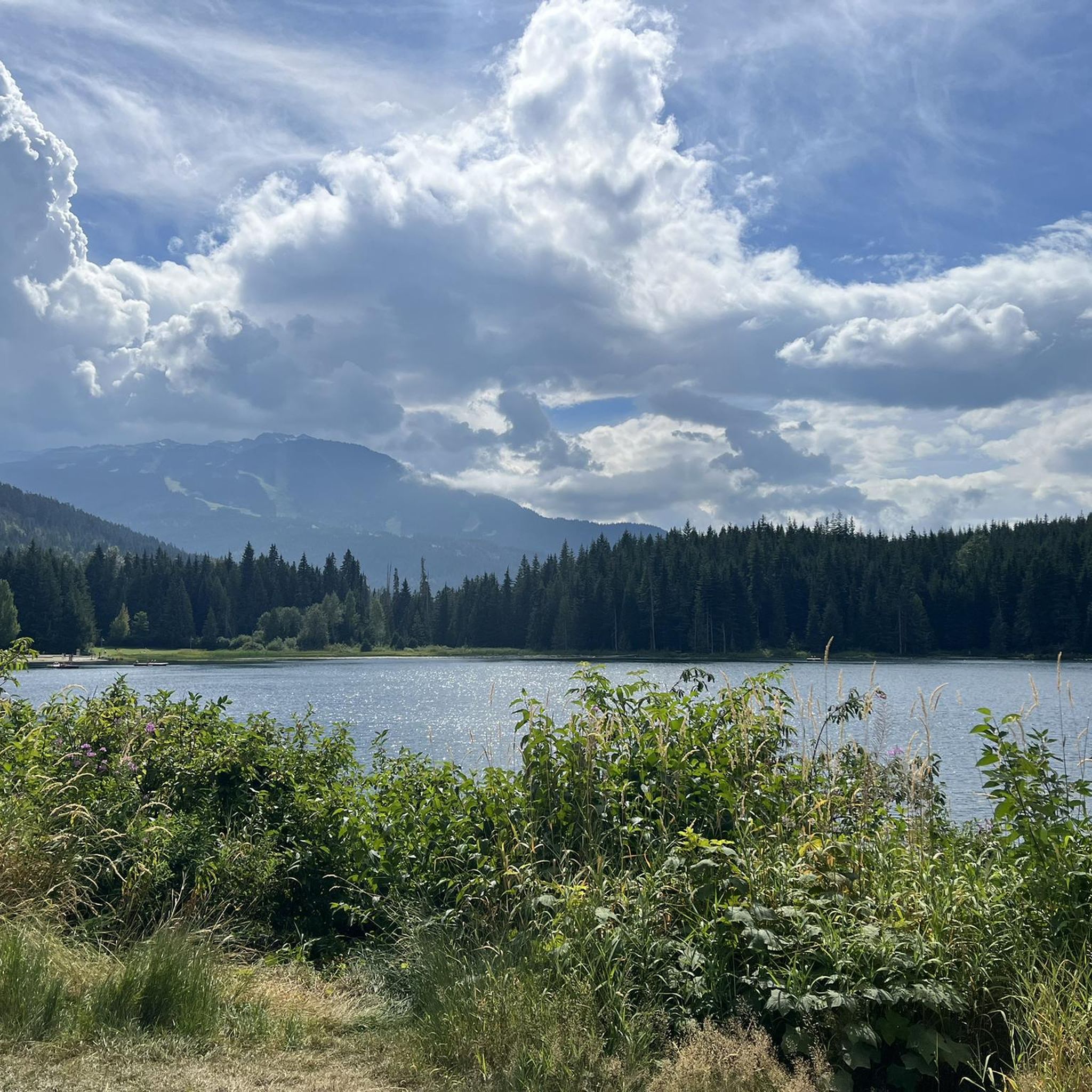
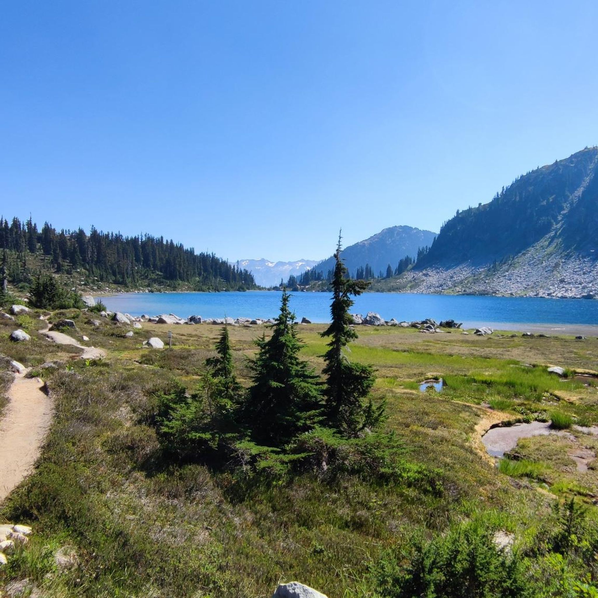
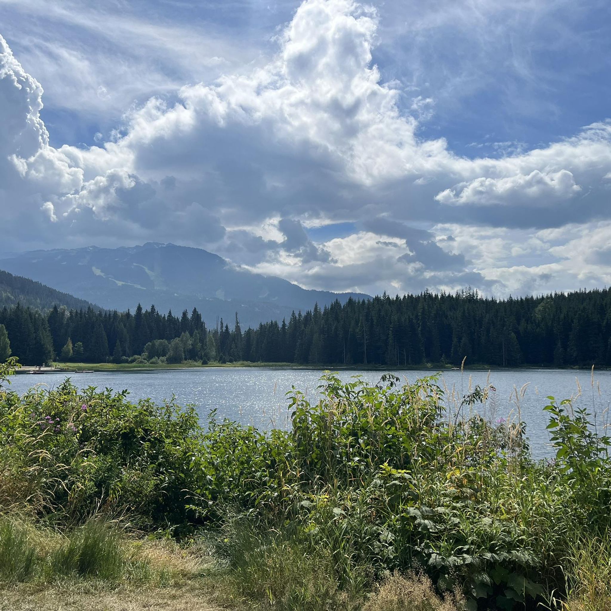
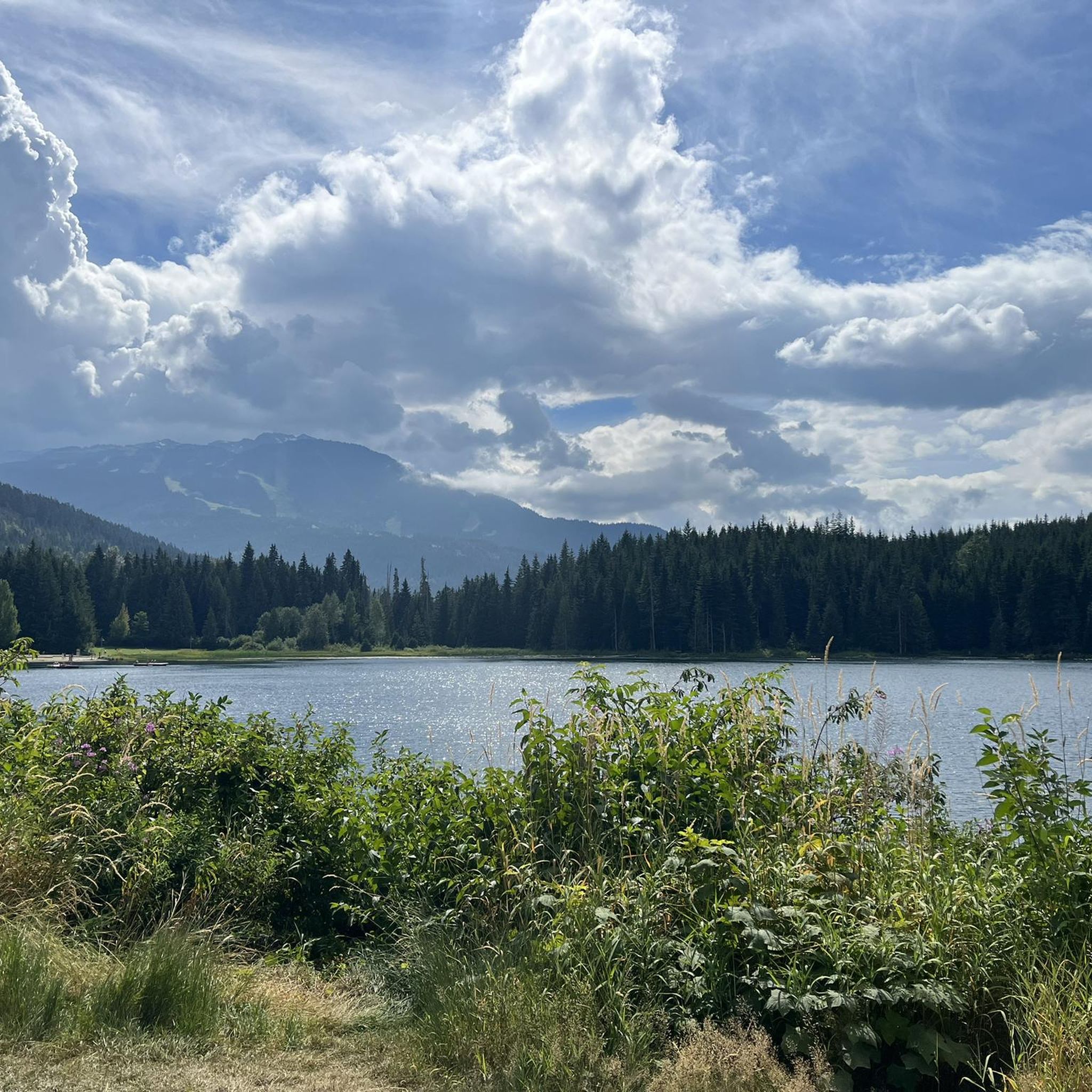
Road cycling around Area C (Pemberton Valley/Mount Currie/D'Arcy) offers diverse terrain for cyclists. The region is characterized by the flat agricultural lands of the Pemberton Valley, providing routes with views of the iconic Mount Currie. Cyclists can find routes that incorporate scenic lakes like Green Lake, Gates Lake, and Anderson Lake, often following the course of the glacier-fed Lillooet River. The landscape transitions from valley floors to rolling hills and challenging climbs, particularly towards higher elevations.
Best road cycling routes around Area C (Pemberton Valley/Mount Currie/D'Arcy)
- The most popular road cycling route is Soo River – Green Lake loop from Pemberton, a 34.7 miles (55.9 km) trail that takes 2 hours 50 minutes to complete. This route offers views of the Soo River and Green Lake, starting from Pemberton.
- Another top favourite among local road cyclists is Green Lake docks loop from Whistler, a moderate 22.4 miles (36.0 km) path. This route features rolling terrain around Green Lake, with sections offering views of the surrounding mountains.
- Local road cyclists also love the Larry's Viewpoint loop from Whistler, a 14.7 miles (23.6 km) trail leading through varied landscapes, often completed in about 1 hour 9 minutes.
- Road cycling around Area C (Pemberton Valley/Mount Currie/D'Arcy) is defined by wide valley floors, prominent mountain backdrops, and scenic lake views. The network offers options for different ability levels, from easy valley loops to more challenging routes with significant elevation gain.
- The routes in Area C (Pemberton Valley/Mount Currie/D'Arcy) are highly rated by the komoot community with an average score of 5.0 stars from over 1 review. More than 400 road cyclists have used komoot to explore Area C (Pemberton Valley/Mount Currie/D'Arcy)'s varied terrain.
Last updated: July 28, 2026
44
riders
36.4km
01:50
590m
590m
Moderate road ride. Good fitness required. Mostly well-paved surfaces and easy to ride.
41
riders
38.2km
01:28
80m
80m
Easy road ride. Great for any fitness level. Mostly well-paved surfaces and easy to ride.

Sign up for free
17
riders
16.7km
00:44
120m
120m
Easy road ride. Great for any fitness level. Mostly well-paved surfaces and easy to ride.
27
riders
25.5km
01:28
300m
300m
Moderate road ride. Good fitness required. Some segments of this route may be unpaved and difficult to ride.
12
riders
23.2km
01:07
230m
230m
Easy road ride. Great for any fitness level. Mostly well-paved surfaces and easy to ride.
Get access to more routes and recommendations from other explorers.
Sign up for free
Already have an account?
Our route recommendations are based on thousands of hikes, rides, and runs completed by other people on komoot.
Start today with a free account
Your next adventure awaits.
Login or Signup
Popular around Area C (Pemberton Valley/Mount Currie/D'Arcy)

Vancouver roundtrip — Bikepacking British Columbia

Pacific charm and peak happiness in British Columbia

Forests, desert, wilderness - day tours in British Columbia

Breathtaking British Columbia — hikes near Squamish & Whistler

MTB Road Trip Sea-to-Sky – dream trails in British Columbia
Hiking around Area C (Pemberton Valley/Mount Currie/D'Arcy)
Cycling around Area C (Pemberton Valley/Mount Currie/D'Arcy)
MTB Trails around Area C (Pemberton Valley/Mount Currie/D'Arcy)
Running Trails around Area C (Pemberton Valley/Mount Currie/D'Arcy)
Other adventures around Area C (Pemberton Valley/Mount Currie/D'Arcy)


Tips from the Community

Lakeside Park is located on the southeast shore of Alta Lake. During the summer months, the beach is used for swimming. https://www.whistler.ca/parks-recreation-culture/parks/lakeside-park/
2
0
Alta Lake was formed by glacial retreat and subsequent sediment deposition, creating depressions that filled with meltwater. Alta Lake and other nearby lakes, such as Green Lake, are part of a large watershed whose waters flow north to the Lillooet River and south to the Cheakamus River. Historically, water flowed both north and south from Alta Lake, which lies at the top of the pass. This natural dual drainage system of the lake ended with the arrival of settlers. https://fireandicegeoregion.ca/geosite/whistler-valley-lakes-and-watershed-divide/
2
0
Green Lake is the largest lake in the Whistler region. To the north, it is the source of the Green River, which drains into the Lillooet River. Green Lake was formed during the last Ice Age, when sediment was deposited in the U-shaped valley, forming lake basins. The lake's green color is due to the glacial silt of Fitzsimmons Creek. From the wooden boardwalk on the southwest shore, we have a magnificent view of the lake and the seaplane landing. In the background, we can see the peaks of the Garibaldi Range, from Wedge Mountain to Mount Currie, including Mount Weart with the Armchair Glacier. https://www.piquenewsmagazine.com/local-news/naturespeak-awesome-geology-sites-around-whistlergreen-lake-part-2-7576124
2
0
The Lost Lake PassivHaus is the first passive house in Canada. It is located at the main entrance of Lost Lake Park. The building was initially used as accommodation for the Austrian Olympic Committee and Austrian Broadcasting, which broadcasted live to Austrian audiences during the 2010 Winter Olympics. After the Games, the Austrian Passive House Group donated it to the Municipality of Whistler. The building now serves as a day lodge, office and meeting space for the Whistler Off-road Cycling Association (WORCA) and Whistler Nordics, as well as a cross-country ski and mountain bike rental shop and a café. Source: https://www.passivehousecanada.com/projects/lost-lake-passive-house/
3
0
Sightlines, the 1998 bronze sculptures and stainless-steel handrails by Kip Jones and Jennifer Macklem, are located on the bridge in Village Park at the Village Stroll. The sculptures are part of Whistler's public art collection, established in 1996. Sources: https://www.whistler.ca/parks-recreation-culture/arts-and-culture/public-art/collection/sightlines/ https://depts.washington.edu/canada/cca/coll.htm
2
0
The Village Stroll is a pedestrian-only area that runs through Whistler Village, connecting shops, restaurants, and attractions, including the cable cars that travel up to Whistler Mountain and Blackcomb Peak. The development planning for Whistler Village dates to the 1970s; the implementation and construction of the village took place in the 1980s. Details of the events at that time can be found on the Whistler Museum website: https://whistlermuseum.org/tag/village-stroll/
2
0
The Nature Trail begins at the Lost Lake PassivHaus. It runs parallel to the Lost Lake Trail to the lake and further on along the western shore of Lost Lake. The trail is accessible to walkers/hikers only. https://www.vancouvertrails.com/trails/lost-lake-nature-trail/
2
0

The beginning of the Nature Trail leading to the Lost Lake. Nice alternative to the main path, with nig trees, creek and small rocks to climb. Great for kids.
0
0
Frequently Asked Questions
What kind of terrain can I expect when road cycling in Area C?
Area C offers a diverse range of terrain for road cyclists. You'll find flat agricultural lands in the Pemberton Valley, perfect for easy rides with stunning views of Mount Currie. As you venture further, routes transition to rolling hills and more challenging climbs, particularly towards higher elevations or routes like the Duffey Lake Road. Most routes feature well-paved surfaces, though some challenging segments may include unpaved sections.
Are there road cycling routes suitable for beginners or families in Area C?
Yes, Area C provides several options for less experienced riders and families. The flat, scenic Larry's Viewpoint loop from Whistler is an easy route. The Pemberton Valley itself offers routes like the Pemberton Meadows Road, which is a relatively flat 25-km ride, ideal for enjoying the scenery without significant elevation gain. Overall, there are 5 easy routes available in the region.
What scenic viewpoints or natural features can I see along road cycling routes in Area C?
Road cycling in Area C offers breathtaking views of iconic natural features. You'll frequently see the majestic Mount Currie dominating the skyline, especially from the Pemberton Valley. Many routes incorporate beautiful lakes such as Green Lake, Gates Lake, Anderson Lake, and Lillooet Lake. You can also experience the glacier-fed Lillooet River and potentially spot waterfalls like Nairn Falls or Brandywine Falls, which are popular highlights in the region.
Are there challenging road cycling routes for experienced cyclists in Area C?
Absolutely. For experienced cyclists seeking a challenge, routes like the Duffey Lake Road offer significant climbs, including a 15 km warm-up followed by a steep ascent with switchbacks and grades up to 12%. For an epic adventure, the Seton Portage loop, starting from Pemberton/Mount Currie, covers 250 km with 5,400 m of elevation, featuring remote mountain scenery and requiring self-sufficiency. There is 1 difficult route available in the region.
Are there any loop road cycling routes in Area C?
Yes, Area C features several excellent loop routes. A popular choice is the Soo River – Green Lake loop from Pemberton, a 55.9 km trail offering diverse scenery. Another favorite is the Green Lake docks loop from Whistler, a moderate 36.0 km path with rolling terrain. The Larry's Viewpoint loop from Function Junction also provides a scenic loop experience.
What is the best time of year for road cycling in Area C?
The best time for road cycling in Area C is generally from spring through fall. During these seasons, the weather is more favorable, and roads are clear of snow and ice. Summer offers warm temperatures, but be aware that some remote routes, like parts of the Seton Portage loop, can experience high temperatures. Always check local weather conditions before heading out.
What do other road cyclists enjoy the most about road cycling in Area C?
The komoot community highly rates road cycling in Area C, with an average score of 5.0 stars. Cyclists often praise the region's wide valley floors, prominent mountain backdrops, and stunning lake views. The diverse network of routes, catering to various ability levels from easy valley loops to challenging climbs, is also a significant draw.
Are there any cafes or places to stop for refreshments along the road cycling routes?
While the region offers extensive natural beauty, specific cafes directly on all routes are not always available, especially on more remote sections. Pemberton and Whistler are good starting points or turnaround points where you can find various cafes, pubs, and accommodation options. It's always advisable to carry sufficient water and snacks, particularly for longer or more remote rides.
What should I be aware of regarding wildlife while cycling in Area C?
Area C, particularly the Pemberton Valley and Pemberton Meadows, is known to be grizzly bear country. While enjoying the serene landscapes, it's important to be bear-aware. Carry bear spray, make noise, and know how to react in case of an encounter. Always respect wildlife and maintain a safe distance.
Where can I find parking for road cycling routes in Area C?
Parking availability varies depending on your starting point. In towns like Pemberton and Whistler, you'll find designated parking areas. For routes starting in more rural areas, look for public parking lots or safe roadside pull-offs. Always ensure you are parking legally and not obstructing traffic or private property. Specific parking details for individual trailheads are often available on local tourism websites or komoot route descriptions.
How many road cycling routes are available in Area C (Pemberton Valley/Mount Currie/D'Arcy)?
There are 15 road cycling routes available in Area C (Pemberton Valley/Mount Currie/D'Arcy). These routes offer a variety of distances and difficulties, ensuring options for different cycling preferences and fitness levels.
Are there any routes that connect Pemberton to D'Arcy?
Yes, a notable route connects Pemberton to D'Arcy. This quiet and scenic route stretches 46 km one way (92 km return) and is characterized by rolling terrain. It offers beautiful views of Gates Lake and Anderson Lake, with the high point of the ride being Birken, on Gates Lake, around the 30 km mark.
Most popular routes around Area C (Pemberton Valley/Mount Currie/D'Arcy)
Most popular attractions around Area C (Pemberton Valley/Mount Currie/D'Arcy)

Get inspired with the komoot mobile app


Explore more
Browse the best Road cycling routes in other regions.
