Top 20 Mountain Passes around Tujetsch
Mountain passes around Tujetsch, a municipality in Switzerland's Grisons canton, offer diverse landscapes and historical routes. This region is known for its alpine passes that connect different cantons and provide access to the source of the Rhine River. The passes feature a mix of scenic drives, challenging hiking trails, and historical sites. Tujetsch's location makes it a central point for exploring significant trans-alpine routes.
Best mountain passes around Tujetsch
- The most popular mountain passes is Oberalp Pass, a mountain pass that links the cantons of Uri and Grisons. It is notable for its road, which reaches an elevation of 2,044 meters, and the unique red lighthouse at its summit, symbolizing the source of the Rhine River.
- Another must-see spot is Lukmanier Pass, a mountain pass connecting Disentis with Biasca in Ticino. Visitors can expect varied landscapes, including vast Swiss stone pine forests and deep blue reservoirs, making it a popular area for hiking and enjoying tranquil scenery.
- Visitors also love Guex Monument at Gotthard Pass, a man-made monument located at the historic Gotthard Pass. This site is special for its historical significance as an ancient trans-alpine route and offers panoramic views of the surrounding alpine environment.
- Tujetsch is known for its scenic driving passes, historic hiking trails, and challenging mountain biking routes. The region offers a variety of mountain passes to explore, catering to different outdoor activities and experience levels.
- The mountain passes around Tujetsch are appreciated by the komoot community, with 20 highlights, over 430 photos, and more than 860 upvotes.
Last updated: August 6, 2026
Oberalp Pass
Highlight • Mountain Pass
Translated by Google •
Tip by

Guex Monument at Gotthard Pass
Highlight • Monument
Translated by Google •
Tip by
Sign up now to discover places like this
Get recommendations on the best single tracks, peaks, & plenty of other exciting outdoor places.
Sign up for free
Lukmanier Pass
Highlight • Mountain Pass
Translated by Google •
Tip by

Hairpin Turns on the Oberalp Pass
Highlight (Segment) • Mountain Pass
But it doesn't hurt to take the descent slower, either. The view is breathtaking. And the final hairpin bends just before Andermatt are even more so.
Translated by Google •
Tip by

Gotthard Pass
Highlight • Mountain Pass
Translated by Google •
Tip by

Sign up for free to discover even more mountain passes around Tujetsch.
Sign up for free
Already have an account?
Start today with a free account
Your next adventure awaits.
Login or Signup
Popular around Tujetsch
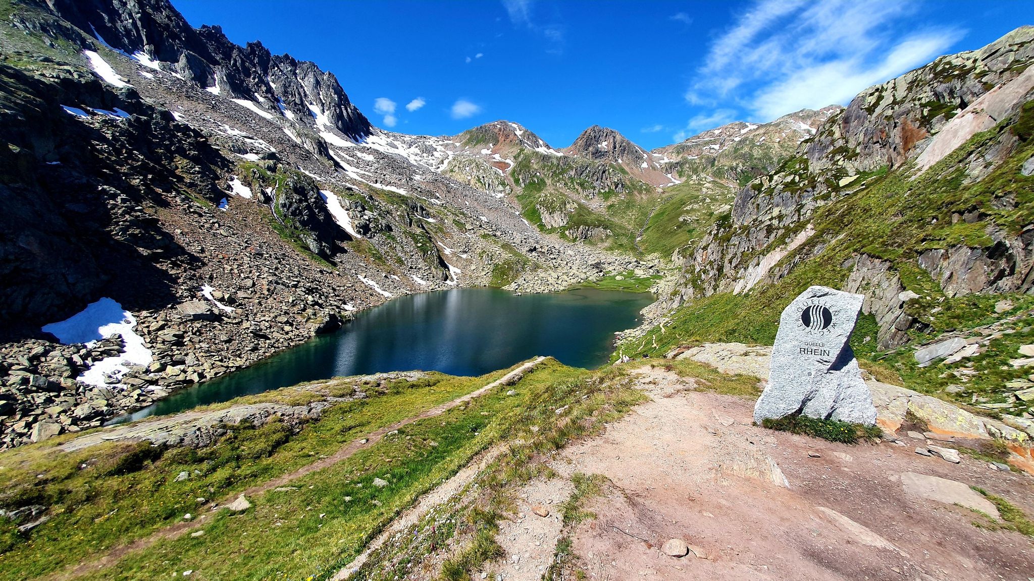
Four Springs Trail — Find flow in Switzerland's Gotthard Massif
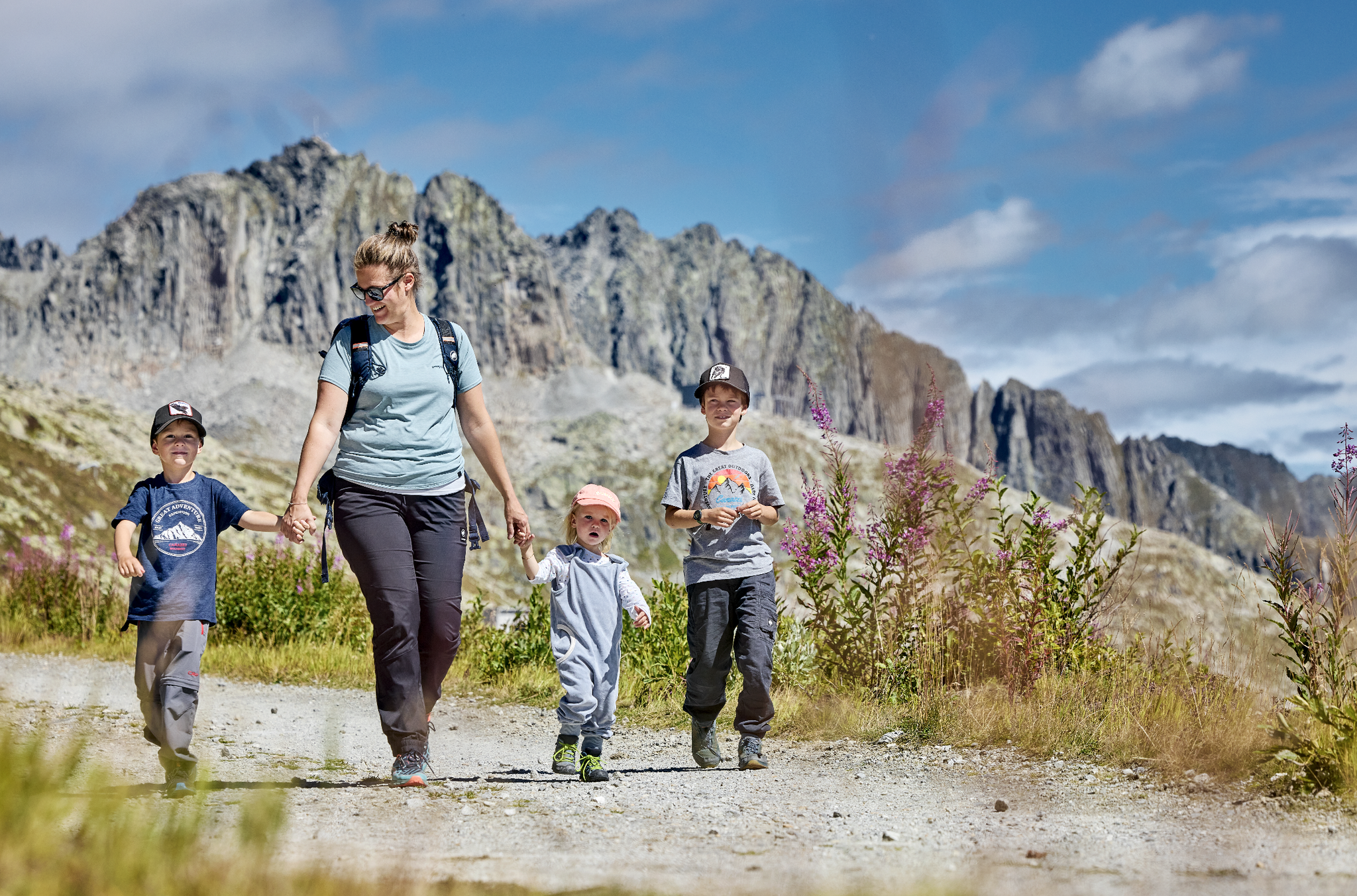
Mountain Playground – family adventures in Andermatt-Sedrun-Disentis
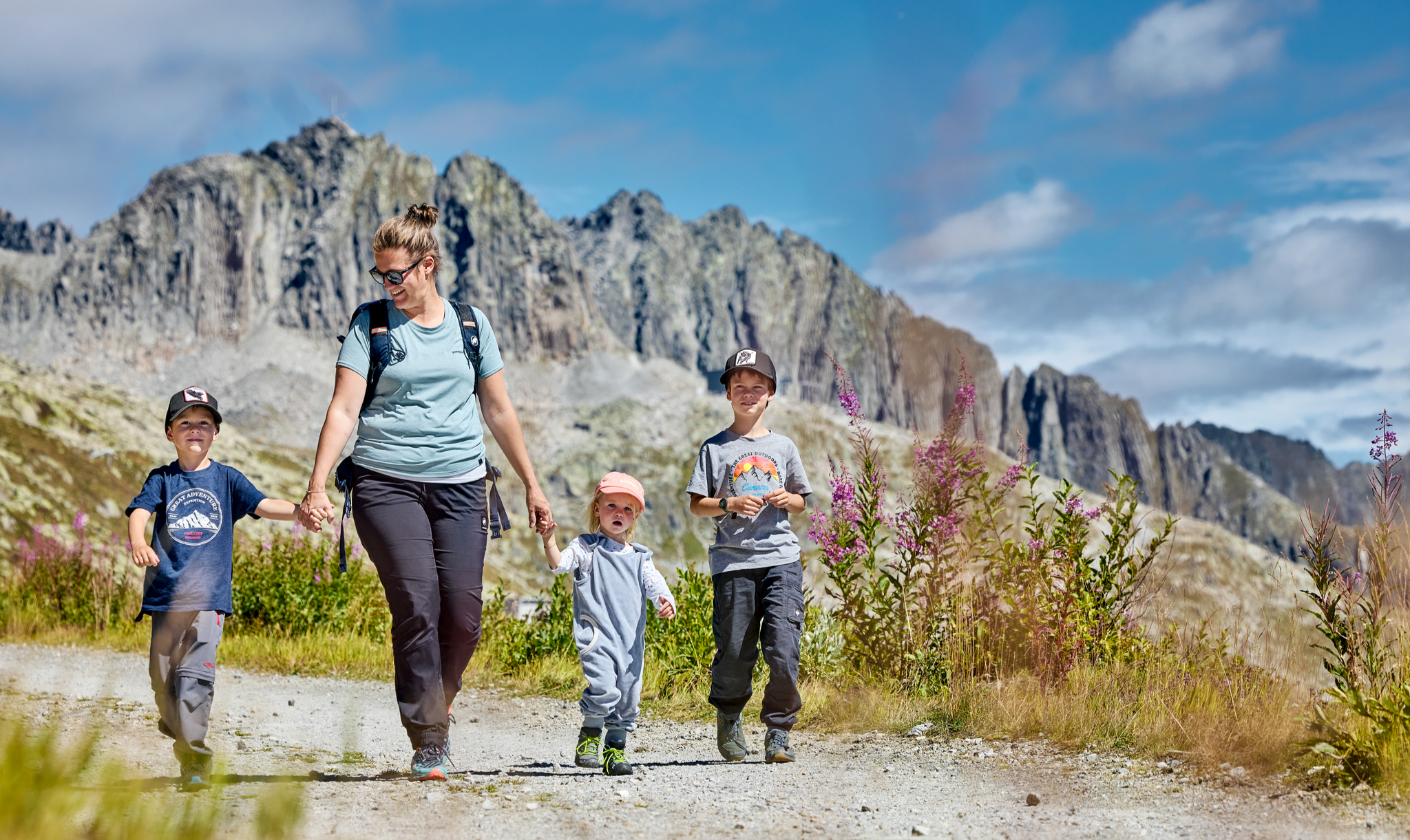
Mountain Playground – family adventures in Andermatt-Sedrun-Disentis
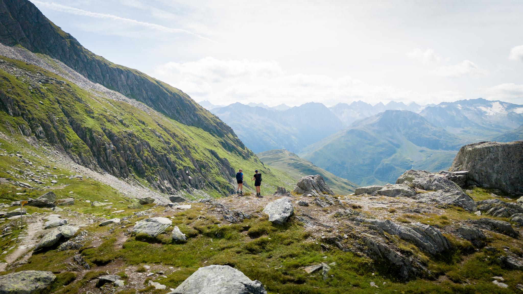
On the hunt for crystals and alpine lake magic – Gotthard Crystal Trek
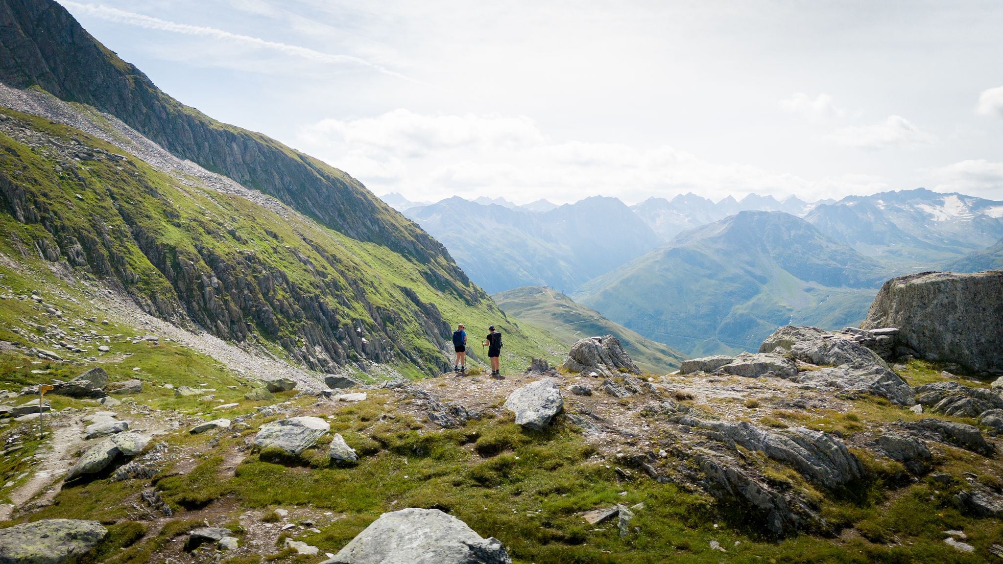
On the hunt for crystals and alpine lake magic – Gotthard Crystal Trek
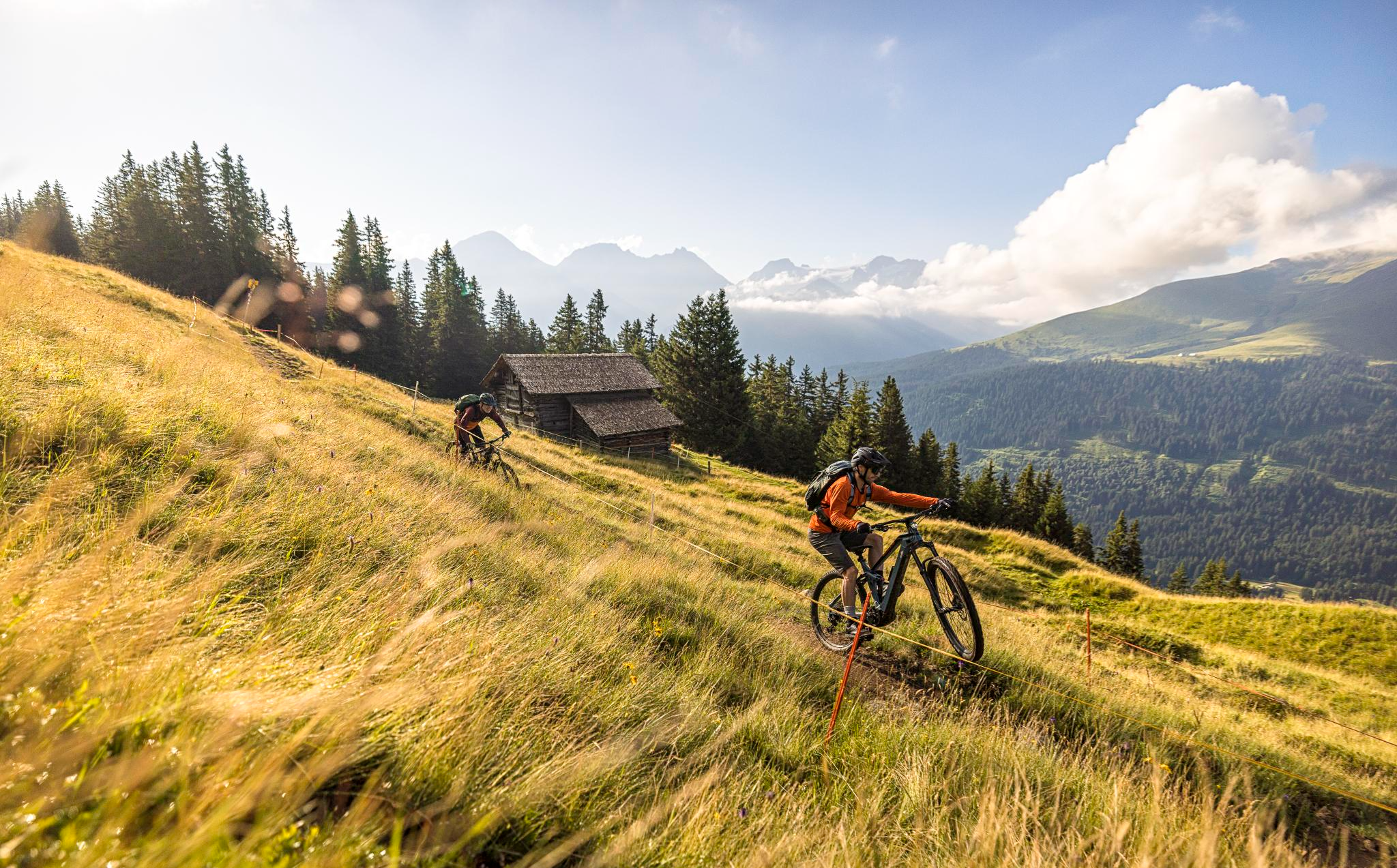
Flowy MTB trails with wonderful views – the best of Disentis Sedrun
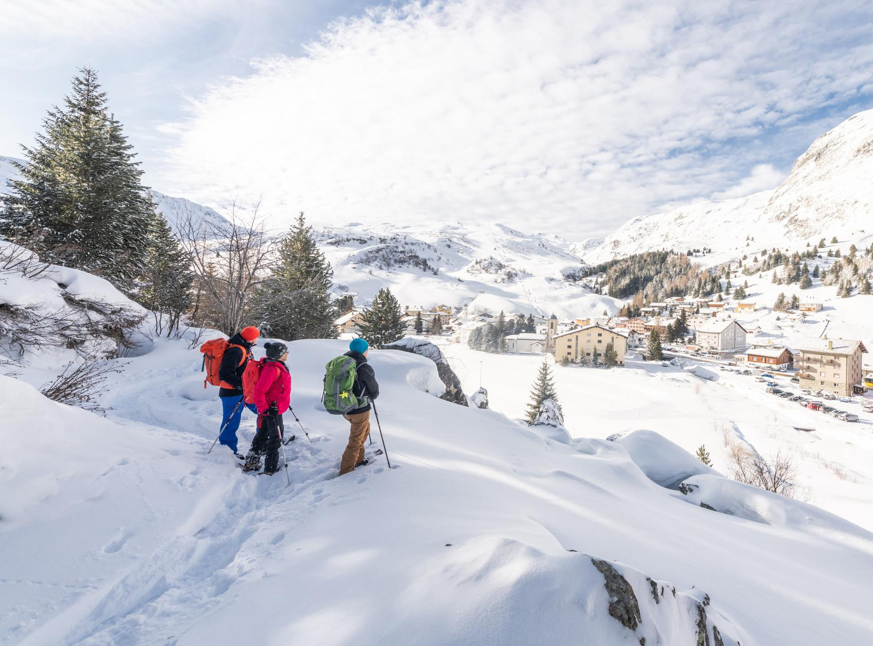
Snowshoe Safari – snowshoe trails through Graubünden
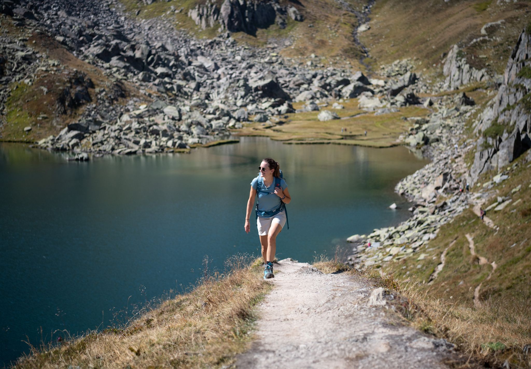
Varied hikes around the source of the mighty Rhine
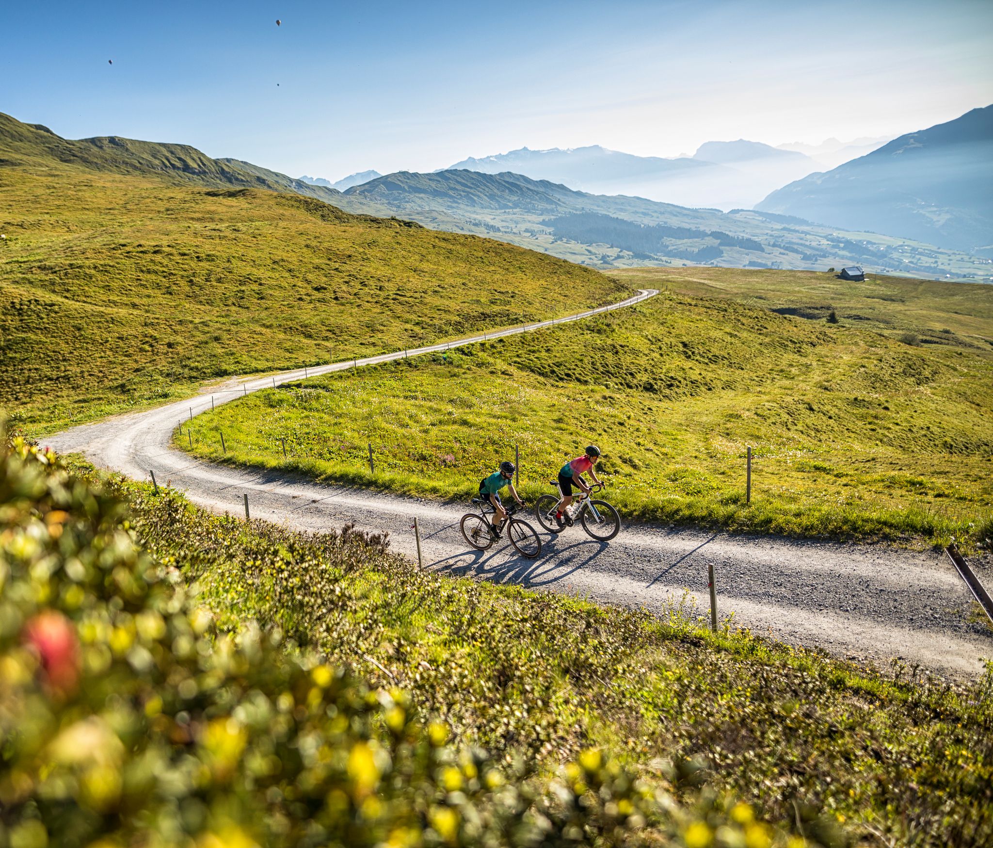
The six most beautiful gravel routes in Graubünden
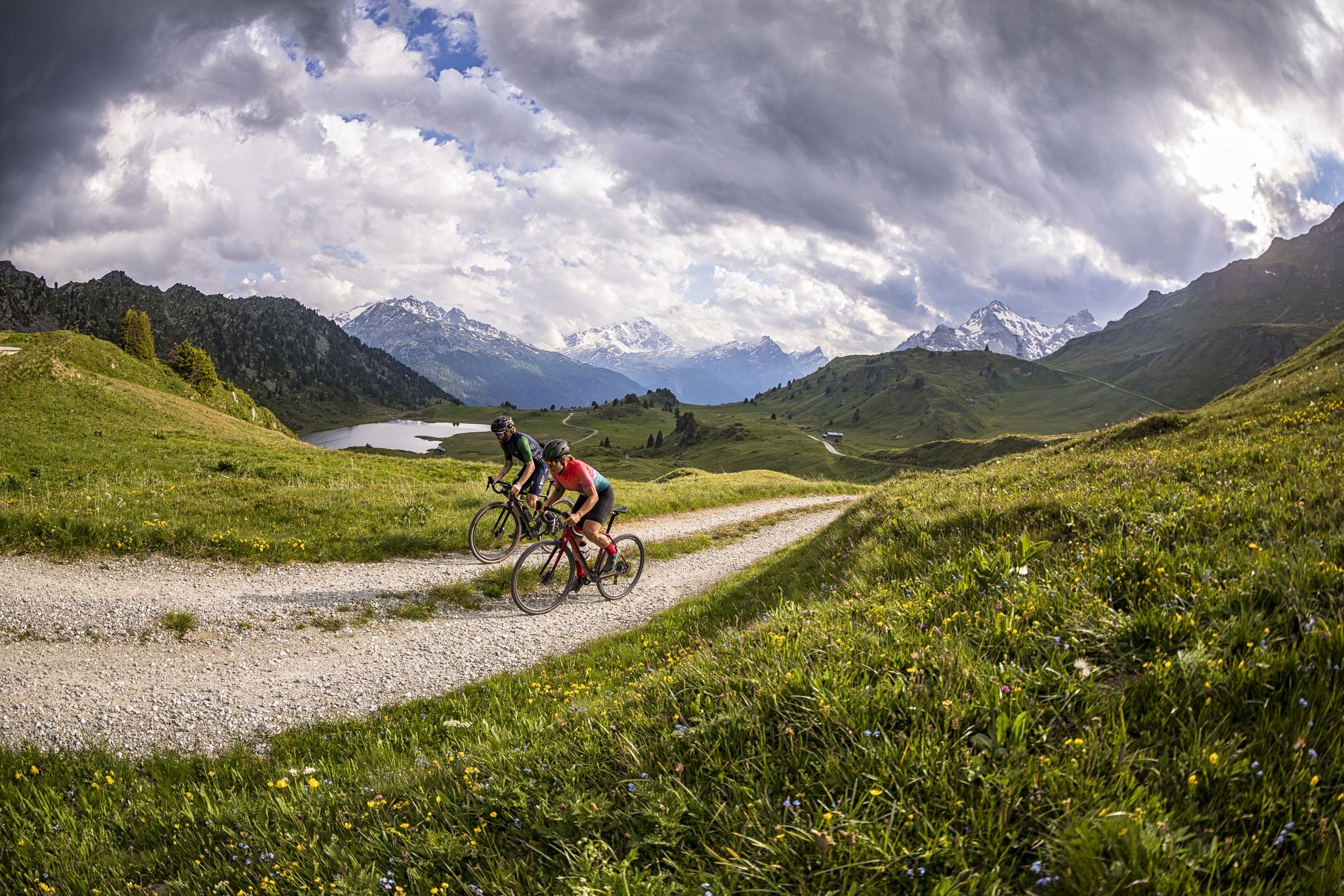
A gravel biking Menu for Switzerland’s Grisons
Other adventures around Tujetsch


Tips from the Community

A really beautiful pass! And also for hiking from the pass summit: many possibilities.
0
0

The Gotthard Pass is one of Switzerland's most famous and historic Alpine passes. Located at an altitude of 2,106 meters above sea level in the Lepontine Alps, it connects Central Europe to Southern Europe. Specifically, it serves as a direct road link between the Canton of Ticino (Airolo) and the Canton of Uri (Hospental). The summit and the massif can be crossed in various ways depending on travel needs: The New Pass Road: This is the modern, paved road variant, scenic and smooth during the summer months. La Tremola: The famous historic southern slope, characterized by 24 hairpin bends paved with porphyry, much loved by cyclists, motorcyclists, and nostalgics. The Road Tunnel (A2): The 16.9 km long motorway tunnel, open all year round, fast but often subject to traffic and queues. The Railway Tunnels: Including the pioneering tunnel from 1882 and the modern Gotthard Base Tunnel, at very high speed.
2
0


St. Gotthard Pass The Gotthard Pass divides waterways and connects various cultural and linguistic areas. Its significance as an "Alpine transversal" began at the beginning of the 13th century with the construction of the legendary Devil's Bridge in the Schöllenen Gorge. For many centuries, trade caravans (trading cattle and cheese for grain, wine, rice, and salt), mercenaries, messengers, and even entire armies crossed the pass. Between 1818 and 1836, the canton of Uri, with the help of other cantons, expanded the pass road, thus achieving its predominance among Swiss Alpine passes. The Gotthard Pass has significantly shaped the economy and culture of Central Switzerland for centuries. Until the opening of the Gotthard Railway in 1882, the Gotthard Pass was also used in winter. Dozens of roadmen and shovel workers were employed for this purpose. In 1922, the post bus replaced the stagecoach, and with the introduction of gasoline duties in 1923, the expansion of the pass roads began, continuing to this day. The old pass road on the south side, the Tremola between the top of the pass and Airolo, is still preserved and passable. This stretch of road recalls more tranquil journeys over the Gotthard that occurred not so long ago. In the 19th and 20th centuries, the Gotthard Pass was "condensed" into a myth, a symbol of Switzerland's independence, unity, and identity. Text / Source: Interest Group for Alpine Passes IAP, PO Box 11, 6491 Realp https://alpen-paesse.ch/de/alpenpaesse/gotthardpass
15
1

Scenic pass that is opened all year round (closes at 6pm in winter). There is hardly any traffic which makes cycling very nice and plenty of opportunities to take pictures. We crossed the pass in early May when there was still plenty of snow up there. The change in scenery where it was all green at Disentis and slowly turning white as we climbed higher... and very quickly turned to green as we rolled down on the south side to Biasca was breathtaking.
1
1
very pretty here, very pretty
2
0

The Lucomagno is one of the most famous Alpine passes in Switzerland. It is located between the cantons of Ticino and Grisons, at an altitude of 1,926 meters. The name seems to derive from the Latin "locus magnus", meaning "large, open place". It is often tackled in the professional race of the Tour of Switzerland.
3
0

In summer, arrival by post bus from Andermatt or Airolo is possible.
2
0
Frequently Asked Questions
What are some of the most scenic mountain passes in the Tujetsch region?
The Tujetsch region offers several highly scenic mountain passes. The Oberalp Pass is renowned for its sweeping bends, the turquoise waters of Oberalpsee lake, and the unique red lighthouse at its summit. The Lukmanier Pass provides varied landscapes, including vast Swiss stone pine forests and deep blue reservoirs, making it a popular area for tranquil scenery.
Are there any historically significant mountain passes in Tujetsch?
Yes, the region is rich in history. The Chrüzlipass, for instance, is a historic mountain pass that served as an ancient connection for trade and pilgrimage, linking Tujetsch with northern Switzerland. The Gotthard Pass, while not directly in Tujetsch, is a historically significant trans-alpine route known for its importance since the 13th century, connecting northern and southern Switzerland.
What kind of outdoor activities can I do around the mountain passes near Tujetsch?
The mountain passes around Tujetsch offer a diverse range of outdoor activities. You can enjoy scenic road cycling tours, challenging hikes, and mountain biking. For specific routes, you can explore options like the 'Oberalp Pass – Oberalp Lake loop' for road cycling or the 'Alp Caschlé – Hexensee' for hiking. Find more details on various activities in the Road Cycling Routes around Tujetsch, Hiking around Tujetsch, and Cycling around Tujetsch guides.
Which mountain passes are accessible year-round or in winter?
Unlike many other alpine passes, the Lukmanier Pass is notable for being kept open most of the year, even in winter, due to its relatively moderate altitude. While the road over the Oberalp Pass is typically closed in winter, the Matterhorn Gotthard Bahn railway runs year-round, providing continuous access and alpine experiences.
Are there family-friendly options among the mountain passes in Tujetsch?
Yes, several passes offer family-friendly experiences. The Oberalp Pass is considered family-friendly, offering opportunities for easy walks around Oberalpsee lake. The Lukmanier Pass also features areas suitable for families to enjoy the tranquil scenery and nature.
Where can I find unique natural features like lakes or specific landscapes near Tujetsch's mountain passes?
The Oberalp Pass is home to the beautiful Oberalpsee lake, and a popular two-hour hike from the pass leads to Lake Toma (Lai da Tuma), considered the source of the Rhine River. The Lukmanier Pass is known for its vast Swiss stone pine forests and deep blue reservoirs where fishing is possible.
What are the options for hiking near Tujetsch's mountain passes?
Tujetsch's mountain passes serve as excellent starting points for various hikes. From Oberalp Pass, you can embark on trails to Pazolastock or the multi-day Senda Sursilvana. The Chrüzlipass offers a more secluded and challenging hiking experience along historic routes. For more hiking ideas, refer to the Hiking around Tujetsch guide.
Are there challenging hiking routes over mountain passes in Tujetsch?
Yes, for experienced hikers, there are challenging routes. The Chrüzlipass, for example, is primarily a hiking trail (Saumpfad) with sections that can be demanding due to rockfalls. Passo Bornengo (2,631 m) also offers a popular and challenging transition hike connecting Val Maighels with Val Canaria, with rocky and steep ascents, especially in early summer when snow might still be present.
What are the best mountain passes for scenic drives or motorcycle tours?
The Oberalp Pass is highly recommended for scenic drives and motorcycle tours. Its well-maintained road offers sweeping bends and tight hairpins, providing an enjoyable experience with ample overtaking opportunities and generally less traffic. The Gotthard Pass, with its historic Tremola road, also offers spectacular hairpin bends for a memorable driving experience.
What do visitors enjoy most about the mountain passes in Tujetsch?
Visitors frequently appreciate the breathtaking views, the unique natural features like alpine lakes and forests, and the diverse opportunities for outdoor activities. The sense of history on ancient routes and the chance to experience the source of the Rhine River are also highly valued. Many enjoy the well-maintained roads for cycling and driving, as well as the tranquil alpine environment.
Are there accommodations or places to eat near the mountain passes?
Yes, there are options for accommodation and dining. Near the Oberalp Pass, you'll find facilities. The Maighelshütte, a Swiss Alpine Club hut, is located near Maighels Pass and offers accommodation and serves as a base for mountaineering. The Old Hospice of St. Gotthard at the Gotthard Pass also provides comfortable accommodation and dining options.
What is the best time of year to visit the mountain passes around Tujetsch?
The summer months are generally the best time to visit for road access and hiking, as most pass roads are open and the weather is favorable. However, the Lukmanier Pass is accessible most of the year, including winter, offering a unique alpine experience outside the main season. For winter sports, the Oberalp Pass area transforms into a ski region.
Most popular routes around Tujetsch
Most popular attractions around Tujetsch

Get inspired with the komoot mobile app


Explore more
See even more epic mountain passes by checking out these guides around Tujetsch:
