Top 17 Mountain Passes around Santa Lucía De Tirajana
Best mountain passes around Santa Lucía De Tirajana are located in the mountainous interior of Gran Canaria. This region features a volcanic basin, significant rock formations, and high ridges offering panoramic views. The area is known for its diverse natural landscape and natural features, making it suitable for various outdoor activities. Many routes provide access to landmarks and viewpoints, showcasing the island's natural features.
Best mountain passes around Santa Lucía De Tirajana
- The most popular mountain passes is Cruz de…
Last updated: July 29, 2026
Cruz de Tejeda
Highlight • Mountain Pass
Showing Translation
Tip by

Alto de Fataga
Highlight • Mountain Pass
Translated by Google •
Tip by

Sign up now to discover places like this
Get recommendations on the best single tracks, peaks, & plenty of other exciting outdoor places.
Sign up for free
Degollada de las Yeguas Astronomical Viewpoint
Highlight • Viewpoint
Great view from up here
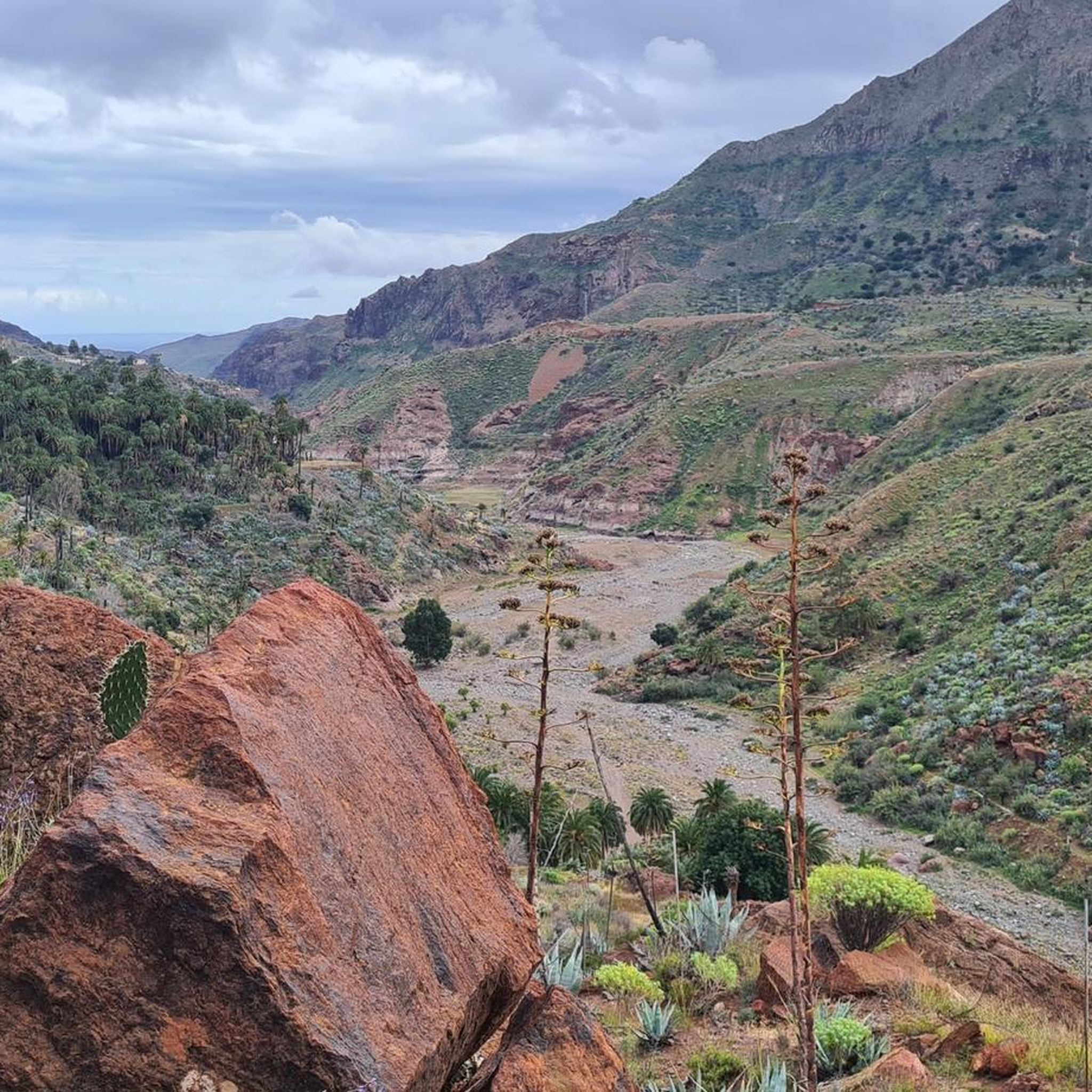
Heading towards the coast and into the gorge.
Translated by Google •
Tip by

Cima Pedro González (490 m)
Highlight • Mountain Pass
Highlights recommended for cyclists with road bikes (excellent asphalt) but also doable on foot as I did, given the very little car traffic.
Translated by Google •
Tip by

San Bartolomé–Ayacata Road
Highlight (Segment) • Cycleway
Tip by

Sign up for free to discover even more mountain passes around Santa Lucía De Tirajana.
Sign up for free
Already have an account?
Start today with a free account
Your next adventure awaits.
Login or Signup
Popular around Santa Lucía De Tirajana

Trail on the Canary Islands – discover the legendary races!
Hiking around Santa Lucía De Tirajana
Road Cycling Routes around Santa Lucía De Tirajana
MTB Trails around Santa Lucía De Tirajana
Cycling around Santa Lucía De Tirajana
Running Trails around Santa Lucía De Tirajana

Gravel biking around Santa Lucía De Tirajana

Mountain Hikes around Santa Lucía De Tirajana
Other adventures around Santa Lucía De Tirajana

Tips from the Community

The Valley of Tears must be attempted, but be left in no doubt that it is super difficult.
0
0

Cima Pedro González offers a scenic climb popular with cyclists and climbers. The route along Monte León is approximately 8.2 km long, with an average gradient of 5.3% and steeper sections reaching up to 13.2%. The climb ascends 440 meters, finishing at an altitude of 490 meters above sea level. Often used as a descent from the Ayagaures climb, tackling it uphill rewards you with breathtaking views of the valley and surrounding landscape. This climb is known to be challenging at the start, but becomes more manageable after the initial steep sections. The road, CG-503, offers a combination of moderate difficulty and stunning scenery, making it a hidden gem for cyclists exploring the varied terrain of Gran Canaria.
0
0

The entire route is freshly paved. A dream.
1
0

Great panoramic view from above
0
0

Peak of 490 meters above sea level that is a few km from Maspalomas. Highlights recommended for cyclists with road bikes (excellent asphalt) but also doable on foot as I did, given the very little car traffic.
1
0

If you're planning to explore this area by bike, on a run, or while hiking, make sure to bring your own Merlot. The region is known for its stunning views and outdoor activities, but finding a good spot to enjoy a glass of wine can be a challenge. Packing your favorite Merlot ensures you can savor a well-deserved drink after your adventure!
0
1

From here you can go hiking, there is a public car park nearby. Locals offer various delicacies😊
1
0

The beautifully situated “Pedro González” pass road lies between the small, tranquil town of Ayagaures with two beautifully situated reservoirs and the village of Punta de la Guancha. The pass is named after Pedro González, a deceased Spanish sports reporter who, among other things, commented on the major tours for Spanish television.
0
0
Frequently Asked Questions
What are some unique mountain passes or viewpoints to explore in Santa Lucía De Tirajana?
Beyond the well-known spots, consider exploring the challenging hike to Cruz del Siglo for fantastic panoramic views. The Cumbre, high above Barranco Guayadeque, offers impressive vistas stretching to the coast. For an iconic natural monument, Roque Nublo provides both cultural significance and breathtaking views after traversing mountainous terrain. Cyclists might enjoy the scenic San Bartolomé–Ayacata Road or the Fataga Serpentine Road.
Are there family-friendly mountain passes or viewpoints in the Santa Lucía De Tirajana region?
Yes, the Degollada de las Yeguas Astronomical Viewpoint is considered family-friendly, offering a beautiful panoramic view of the Barranco de Fataga and the sea. Cruz de Tejeda is also a family-friendly spot with facilities and stalls.
What kind of natural features can I expect to see around the mountain passes in this area?
The region is characterized by a diverse natural landscape, including a vast volcanic basin known as the Caldera de Tirajana. You'll encounter deep gorges like the Barranco de Fataga, dense pine forests, and impressive rock formations such as Roque Nublo. The area also features one of the island's most beautiful and extensive palm groves, particularly near the Palmeral de la Sorrueda.
What is the best time of year to visit the mountain passes for hiking?
The best time for hiking in Santa Lucía De Tirajana is generally from October to May. You can also visit in September and June. It's advisable to avoid windy days in winter, as rain can be torrential. Always check the weather forecast before heading out.
What outdoor activities can I do near the mountain passes in Santa Lucía De Tirajana?
The area is excellent for various outdoor activities. You can find numerous hiking trails, ranging from easy to difficult, as well as mountain biking (MTB) and gravel biking routes. For more details on hiking, visit the Hiking around Santa Lucía De Tirajana guide. For cycling, explore the MTB Trails around Santa Lucía De Tirajana guide or the Gravel biking around Santa Lucía De Tirajana guide.
Are there specific hiking trails near these mountain passes?
Yes, there are many hiking trails. For instance, near Santa Lucía de Tirajana, you can find trails like 'The Cave – La Fortaleza de Ansite loop' (moderate, 10.7 km) or 'The Cave – Fortaleza Grande Cave loop' (easy, 5.4 km). For a comprehensive list of routes, check out the Hiking around Santa Lucía De Tirajana guide.
What are the difficulty levels of hiking routes around the mountain passes?
Hiking routes in the Santa Lucía De Tirajana area offer varying degrees of difficulty, from moderate to hard mountaineering routes. Paths like the circular hike to Cruz del Siglo can be nearly 18 kilometers long with over 1,200 meters of altitude gain, requiring good fitness and sure-footedness. There are also easier options, such as the 'Stone Path to Fortaleza – The Cave loop' (easy, 4.5 km).
What do visitors enjoy most about the mountain passes and viewpoints in Santa Lucía De Tirajana?
Visitors frequently praise the stunning panoramic views, especially from spots like Degollada de las Yeguas Astronomical Viewpoint and Cruz de Tejeda. The diverse and impressive landscape, from volcanic basins to pine forests, is also highly appreciated. Many enjoy the challenging yet rewarding hiking experiences and the sense of being high above the landscape.
Are there any historical or cultural sites associated with the mountain passes?
Yes, the Caldera de Tirajana, while a natural formation, holds historical significance as home to the towns of Santa Lucía and San Bartolomé de Tirajana. Additionally, Roque Nublo was a sacred mountain and place of worship for the ancient Guanches, making it a site of cultural importance.
What should I bring for a hike around the mountain passes?
For hiking, it's essential to wear appropriate clothing and sturdy shoes. Always carry sufficient water and energy-providing food. Depending on the route, good fitness and sure-footedness may be required.
Can I find food and drink options near the mountain passes?
Yes, at Cruz de Tejeda, you'll find a few restaurants and craft stalls. There's also a bakery near Alto de Fataga known for its delicious coffee. The towns within the Caldera de Tirajana, such as Santa Lucía and San Bartolomé de Tirajana, also offer amenities.
How accessible are the mountain passes by road?
Many mountain passes and viewpoints, such as Alto de Fataga, are crossed by main roads like the GC-60 highway, making them accessible by car. The Degollada de las Yeguas Astronomical Viewpoint is about 10 km from Maspalomas and easily reachable by road.
Most popular routes around Santa Lucía De Tirajana
Most popular attractions around Santa Lucía De Tirajana

Get inspired with the komoot mobile app


Explore more
See even more epic mountain passes by checking out these guides around Santa Lucía De Tirajana:
