The best road cycling routes around Santa Lucía De Tirajana
4.3
(300)
13,451
riders
26
rides
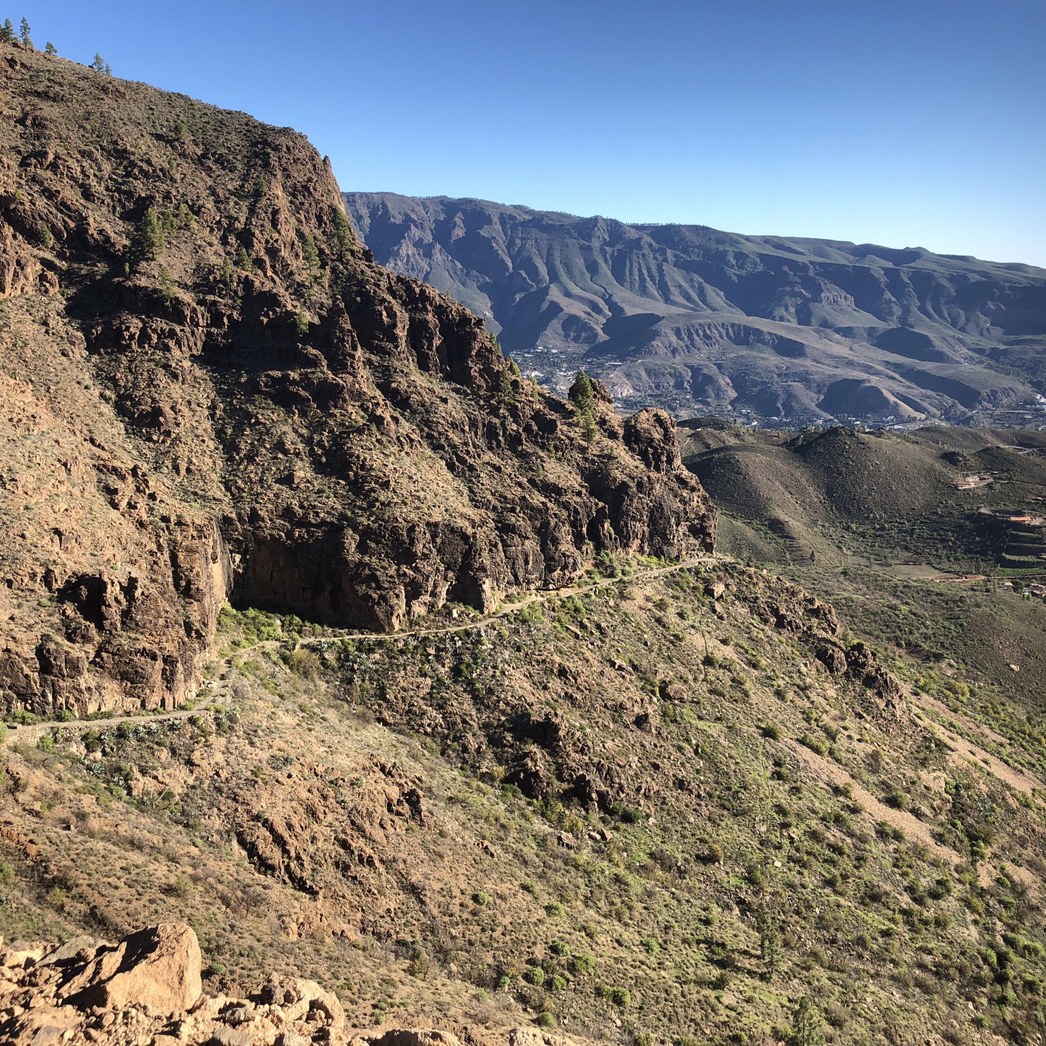
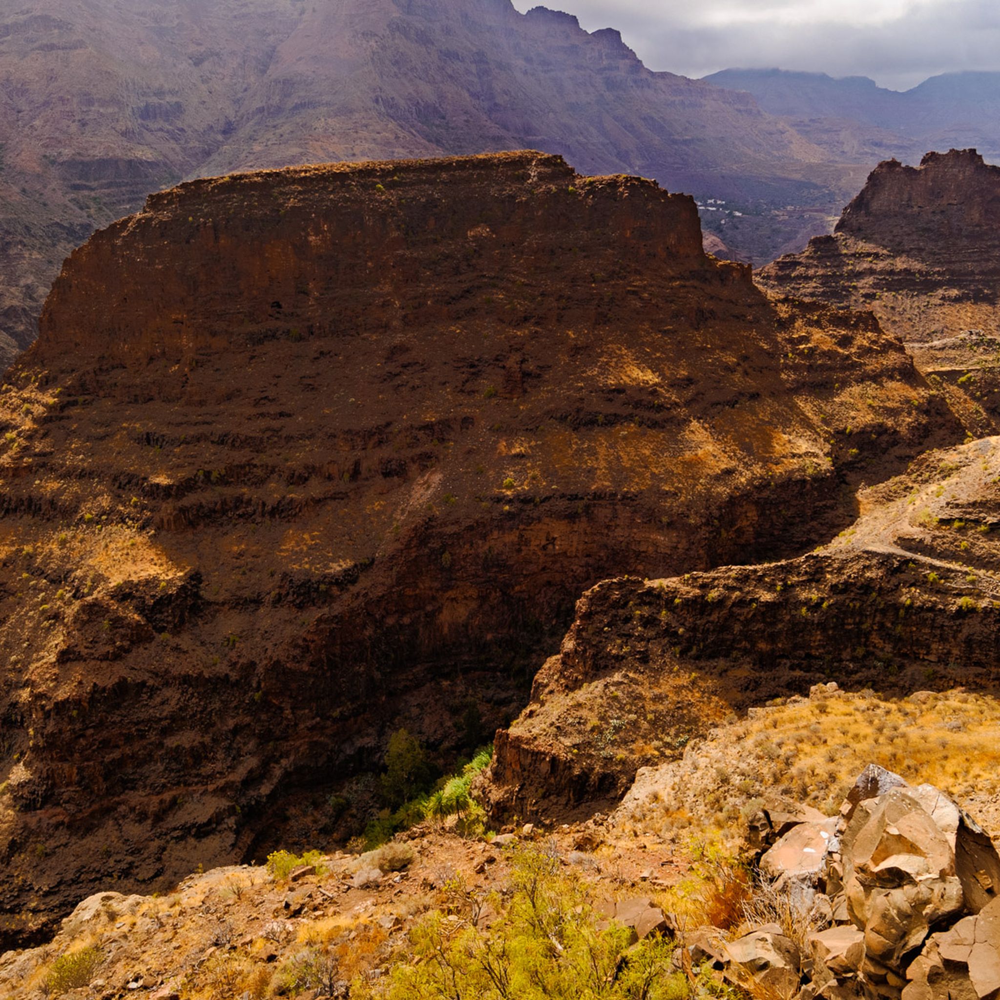
Road cycling routes around Santa Lucía De Tirajana traverse a diverse and dramatic volcanic landscape in Gran Canaria. The region is characterized by significant elevation changes, serpentine roads, and impressive rocky formations, including deep ravines and lush palm groves. Cyclists encounter varied terrain, from challenging ascents to winding paths through traditional mountain villages.
Best road cycling routes around Santa Lucía De Tirajana
- The most popular road cycling route is El Guriete, Santa Lucia, Temisas – tour around the island of…
Last updated: July 21, 2026
4.3
(3)
209
riders
38.3km
02:09
840m
840m
Moderate road ride. Good fitness required. Mostly well-paved surfaces and easy to ride.
3.9
(19)
839
riders
58.7km
02:38
490m
500m
Moderate road ride. Good fitness required. Mostly well-paved surfaces and easy to ride.

Sign up for free
73
riders
109km
06:29
2,700m
2,700m
Hard road ride. Very good fitness required. Mostly well-paved surfaces and easy to ride.
46
riders
135km
08:05
3,430m
3,440m
Hard road ride. Very good fitness required. Mostly well-paved surfaces and easy to ride.
4.3
(4)
153
riders
48.2km
02:05
350m
350m
Moderate road ride. Good fitness required. Mostly well-paved surfaces and easy to ride.
Get access to more routes and recommendations from other explorers.
Sign up for free
Already have an account?
Our route recommendations are based on thousands of hikes, rides, and runs completed by other people on komoot.
Start today with a free account
Your next adventure awaits.
Login or Signup
Popular around Santa Lucía De Tirajana

Trail on the Canary Islands – discover the legendary races!
Hiking around Santa Lucía De Tirajana
MTB Trails around Santa Lucía De Tirajana
Cycling around Santa Lucía De Tirajana
Running Trails around Santa Lucía De Tirajana

Gravel biking around Santa Lucía De Tirajana

Mountain Hikes around Santa Lucía De Tirajana
Other adventures around Santa Lucía De Tirajana

Tips from the Community

Great highlight and a real photo spot. It will surely be very busy on weekends!
0
0

Definitely plan a break here.
0
0

A small, protected lagoon located right next to the dunes of Maspalomas. It provides resting and nesting sites for many migratory birds. There are also insect and reptile species that are found only here.
10
1

The entire route is freshly paved. A dream.
1
0

A paradise for racing cyclists, in the immediate vicinity is Gran Canaria's highest peak: Pico de las Nieves 1940m
0
0

On the way downhill you almost fall into a curve rush...really a great section of asphalt
1
0

This is a beacon from afar for Meloneras.
1
0

Frequently Asked Questions
What kind of terrain can I expect on road cycling routes in Santa Lucía De Tirajana?
Road cycling routes in Santa Lucía De Tirajana are characterized by a diverse and dramatic volcanic landscape. You'll encounter significant elevation changes, serpentine roads winding through impressive rocky formations, deep ravines, and lush palm groves. The terrain varies, offering everything from challenging ascents to winding paths through traditional mountain villages, catering to cyclists with good to very good fitness levels.
Are there challenging road cycling routes for experienced riders?
Yes, Santa Lucía De Tirajana is renowned for its demanding yet rewarding road cycling routes. Many routes feature considerable ascents, often exceeding 1,000 meters of elevation gain. A prime example is the ascent to Pico de las Nieves, the island's highest point, which offers a formidable challenge. The Switchbacks with a view – Pico de las Nieves summit loop from Vecindario is a difficult 67.9-mile route with over 2,700 meters of elevation gain.
Are there any easier or beginner-friendly road cycling routes in the area?
While many routes are challenging, Santa Lucía De Tirajana does offer options for varying ability levels. There are 9 easy routes available, which might feature less elevation or shorter distances. For example, the Church of Sardina loop from Sardina is an easy 23-mile route with less than 300 meters of elevation gain.
What natural landmarks or viewpoints can I see along the road cycling routes?
The region is rich in natural wonders and viewpoints. You can expect to see iconic formations like Roque Nublo and enjoy panoramic views from Pico de las Nieves. Many routes pass through or offer views of the impressive Barranco de Tirajana and the unique volcanic basin of Caldera de Tirajana. Notable viewpoints include Degollada de las Yeguas Astronomical Viewpoint, El Guriete, and El Ingenio, providing stunning perspectives of ravines and palm groves.
What is the best time of year for road cycling in Santa Lucía De Tirajana?
Gran Canaria generally offers favorable cycling conditions year-round due to its mild climate. However, the best time to visit for road cycling is typically during the cooler, drier months from autumn to spring (October to May), when temperatures are pleasant and rainfall is minimal. Summers can be hot, especially in inland areas, making early morning or late afternoon rides more comfortable.
Are there any circular road cycling routes available?
Yes, many road cycling routes in Santa Lucía De Tirajana are designed as loops, allowing you to start and end in the same location. For instance, the popular Columbus Monument Meloneras – Maspalomas Lighthouse loop from Vecindario is a moderate 34.3-mile route offering coastal views and varied terrain.
What do other road cyclists enjoy most about cycling in Santa Lucía De Tirajana?
The road cycling routes in Santa Lucía De Tirajana are highly rated by the komoot community, with an average score of 4.3 stars from over 28 reviews. Cyclists often praise the challenging ascents, the breathtaking panoramic views from high points like Pico de las Nieves, and the unique experience of riding through diverse volcanic landscapes and traditional mountain villages.
Are there any waterfalls or gorges to see while road cycling?
While road cycling, you might encounter views of impressive gorges. The Barranco de Tirajana is a prominent natural landscape in the region. There is a Large Waterfall highlight in the area, though its accessibility directly by road bike may vary depending on the specific route. The Guayadeque Gorge is another notable feature.
Are there options for parking or public transport access for road cyclists?
While specific parking details for every route start point are not provided, many routes begin or pass through towns like Vecindario or Santa Lucía de Tirajana, where parking facilities are generally available. For public transport, local bus services (guaguas) connect various towns on Gran Canaria, but transporting bicycles on these services can be restricted or require specific conditions. It's advisable to check local transport regulations if planning to use public transport with your bike.
Can I find places to eat or stay along the road cycling routes?
Yes, routes often pass through traditional towns and villages like Santa Lucía de Tirajana itself, providing opportunities for scenic breaks. These villages typically offer local cafes, restaurants, and sometimes accommodation options where you can refuel and rest. The region is well-equipped to cater to visitors, including cyclists.
How many road cycling routes are available in Santa Lucía De Tirajana?
There are 27 road cycling routes available around Santa Lucía De Tirajana, offering a wide range of options for different skill levels and preferences. These include 9 easy, 15 moderate, and 3 difficult routes.
Are there any specific mountain passes that are popular with road cyclists?
Santa Lucía De Tirajana is surrounded by several popular mountain passes that are frequently included in road cycling routes. These include Cruz de Tejeda, Alto de Fataga, and the Fataga Serpentine Road, all offering challenging climbs and spectacular views.
Most popular routes around Santa Lucía De Tirajana
Most popular attractions around Santa Lucía De Tirajana

Get inspired with the komoot mobile app


Explore more
Browse the best Road cycling routes in other regions.
