Top 20 Natural Monuments around Castiglione Di Garfagnana
Best natural monuments around Castiglione Di Garfagnana are found within the Garfagnana region of Tuscany, nestled between the Apuan Alps and the Tuscan-Emilian Apennines. This area is characterized by its diverse natural landscape, featuring mountains, lakes, and passes. The terrain offers varied opportunities for outdoor exploration.
Best natural monuments around Castiglione Di Garfagnana
- The most popular natural monuments is Summit cross of Monte Giovo, a summit that offers panoramic views stretching from the Tyrrhenian Sea to the Apuan Alps.…
Last updated: November 11, 2026
Monte Cusna Summit
Highlight • Summit
Translated by Google •
Tip by

Lago Santo Modenese
Highlight • Lake
Translated by Google •
Tip by

Sign up now to discover places like this
Get recommendations on the best single tracks, peaks, & plenty of other exciting outdoor places.
Lake Bargetana
Highlight • Lake
Translated by Google •
Tip by

Summit cross of Monte Giovo
Highlight • Summit
Translated by Google •
Tip by

The Devil's Scree
Highlight • Natural Monument
Translated by Google •
Tip by

Sign up for free to discover even more natural monuments around Castiglione Di Garfagnana.
Already have an account?
Start today with a free account
Your next adventure awaits.
Popular around Castiglione Di Garfagnana
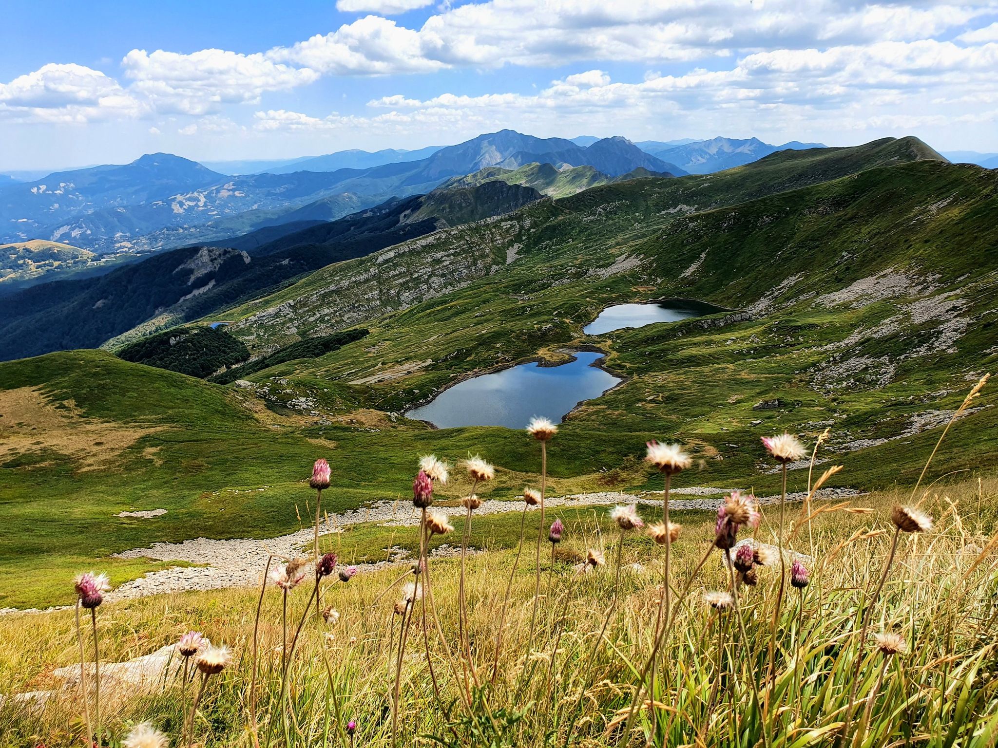
Berceto to Abetone – Alta Via dei Parchi (part 1)
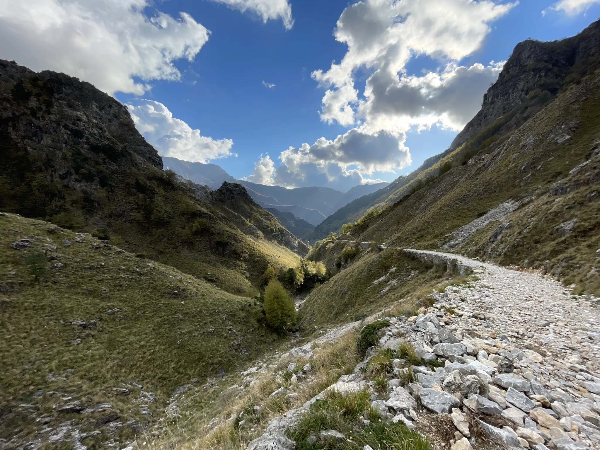
18th-century route from Modena to Massa – Via Vandelli
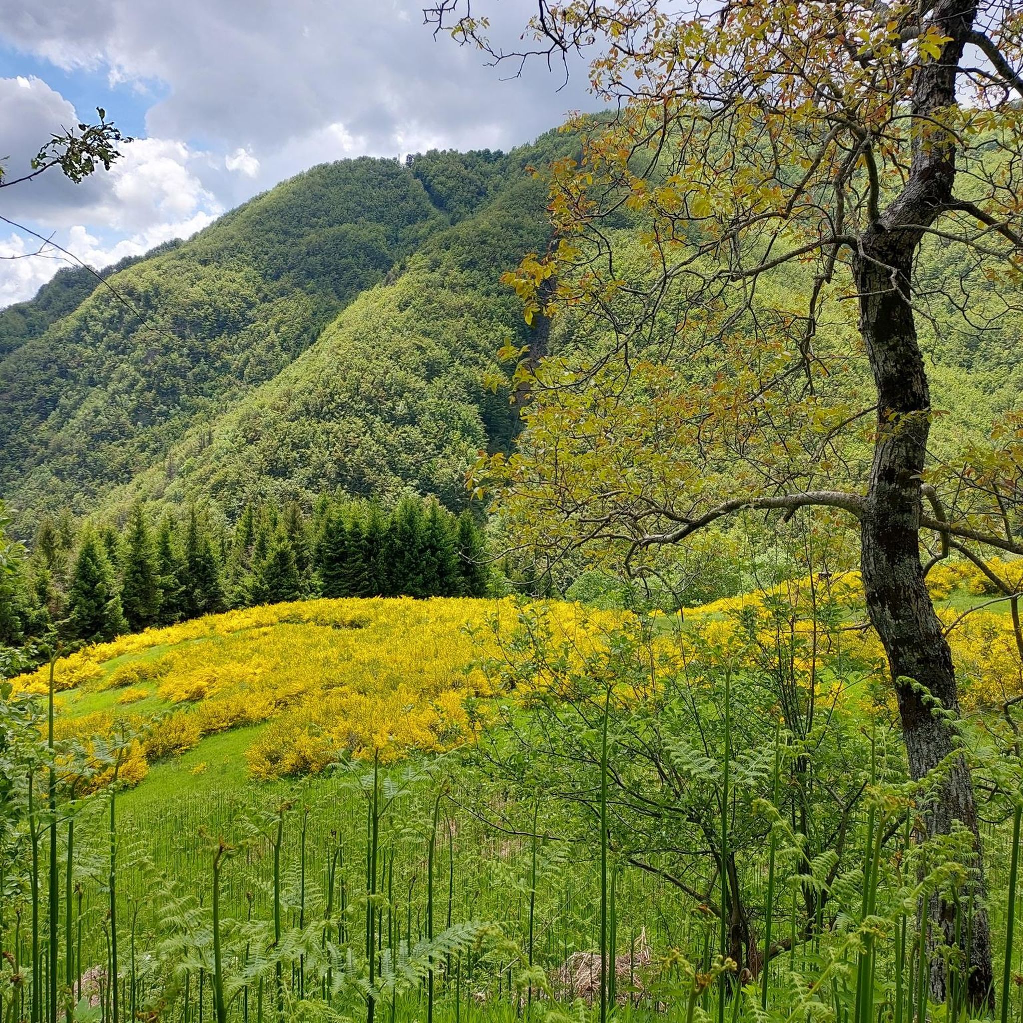
Hiking around Castiglione Di Garfagnana
Road Cycling Routes around Castiglione Di Garfagnana
MTB Trails around Castiglione Di Garfagnana
Cycling around Castiglione Di Garfagnana
Running Trails around Castiglione Di Garfagnana

Gravel biking around Castiglione Di Garfagnana

Mountain Hikes around Castiglione Di Garfagnana
Other adventures around Castiglione Di Garfagnana


Tips from the Community

The name comes from the legend of Saint Pellegrino, who chose these peaks to live as a hermit. It is said that the Devil constantly tormented him with temptations and provocations. One day, exasperated, the Saint dealt a very powerful slap to the demon, making him spin around three times and throwing him beyond the Apuan Alps (creating, according to the myth, the hole of Monte Forato). At the exact spot where the clash took place, there is an immense pile of stones (the Pietraia del Diavolo). For centuries, pilgrims who climb up here as a sign of penance bring with them a stone collected in the valley, throw it onto the pile, and walk around the stone heap three times to atone for their sins and protect themselves from temptations.
0
0

Refuge with renovated private rooms and very good cuisine. It is an excellent starting point for various excursions in the area and the management is very friendly. From the parking lot (paid) it takes about 10 minutes of uphill walking to reach the Refuge. The manager Massimo is a great person, it is always a pleasure to return to them!
1
0

Monte Giovo, 1991 metres, is the highest peak in this part of the Apennines.
0
0

The more you pass by, the more you fall in love. It is easily reached on foot from the forest road. On a mountain bike, you have to push your bike for a stretch. It is a little extra effort that I recommend.
0
0

Reaching this goal was a great satisfaction for me…it had been in my plans for a long time of peaks to reach so a little dream to realize…from up there breathtaking view obviously! 🙌🏼😃
0
0

Monte Giovo rises next to Lago Santo in Modena and offers those who reach the top a breathtaking view of the surrounding mountains, being second only to Monte Cimone. The spectacle is guaranteed both from the Emilian and Tuscan sides.
1
0

One of the most beautiful places in the entire Tuscan-Emilian Apennines
0
0

Mount Cusna is a very beautiful mountain. Exceptional panorama from which you can admire the Apuan Alps
2
0
Frequently Asked Questions
What are some unique geological sites to explore near Castiglione Di Garfagnana?
The region offers several unique geological formations. The Orrido di Botri, often called a natural canyon, is a spectacular limestone ravine with high walls and deep gorges carved by the Pelago Torrent. Another fascinating site is the Grotta del Vento, a karst cave system known for its stalactites, stalagmites, and unique airflow dynamics.
Where can I find panoramic viewpoints of the Apuan Alps and surrounding areas?
For breathtaking panoramic views, consider hiking to the Summit cross of Monte Giovo. On clear days, the vista extends from the Tyrrhenian Sea to the Apuan Alps, and even to the Po Valley. Another excellent spot is Pania della Croce, known as the 'Queen of the Apuan Alps,' offering sweeping views of the Tuscan coastline and beyond from its summit.
Are there family-friendly natural monuments or trails in the area?
Yes, Lago Santo Modenese is considered family-friendly, with a refuge just a short walk from paid parking, serving as a starting point for various paths. Orecchiella Park is also ideal for families, offering accessible trails, a botanical garden, nature museums, and even a 'Bear Trail' for wildlife observation.
What kind of wildlife can I spot in the natural monuments around Castiglione Di Garfagnana?
Orecchiella Park is a prime location for wildlife spotting, home to Apennine wolves, deer, mouflon, wild boars, and golden eagles. Near Lake Bargetana, it's not uncommon to spot marmots in the surrounding pastures and rock faces. The Orrido di Botri nature reserve is also known for its diverse fauna, including the golden eagle.
What are the best times to visit the natural monuments for hiking and exploration?
The summer months are generally recommended for exploring the Orrido di Botri, as water levels are lower, making trekking along the riverbed more accessible. For mountain hikes to summits like Pania della Croce or Monte Giovo, clear days offer the best panoramic views. The Grotta del Vento maintains a constant temperature of around 10 degrees Celsius year-round, making it a good option to escape summer heat or for a cool experience in other seasons.
Are there opportunities for challenging hikes or mountaineering?
Absolutely. The hike to the summit of Pania della Croce is popular among mountaineers and experienced hikers seeking challenging trails. Similarly, reaching the Summit cross of Monte Giovo can involve routes of medium difficulty, with more challenging access points like the ridge from Monte Rondinaio. For more options, explore the Mountain Hikes around Castiglione Di Garfagnana guide.
Where can I find lakes suitable for outdoor activities?
The area features several beautiful lakes. Lago Santo Modenese is a popular starting point for various paths, including those to Mount Giovo and Mount Rondinaio. Lake Bargetana, located in the Bargetana basin, offers clear waters and scenic surroundings. These lakes provide excellent settings for hiking and enjoying nature.
What kind of cycling routes are available near these natural monuments?
The region offers diverse cycling opportunities. You can find challenging gravel biking routes, such as those around Lake Gramolazzo or the Lama Lite Pass, detailed in the Gravel biking around Castiglione Di Garfagnana guide. For road cyclists, routes like the San Pellegrino in Alpe and Passo delle Radici Loop are available, as seen in the Road Cycling Routes around Castiglione Di Garfagnana guide.
Are there any mountain passes worth visiting for their views or historical significance?
The Radici Pass is a significant mountain pass in the Tuscan-Emilian Apennines, offering multiple access routes and beautiful views. It serves as a border pass between Emilia and Tuscany and is appreciated by the komoot community for its scenic beauty and low traffic.
What is the highest mountain in Tuscany that I can visit?
Mount Prado is the highest mountain in Tuscany, standing at 2054m above sea level. It offers a wonderful view over all the Apuan Alps and is part of the Parco dell'Alto Appennino Reggíano, known for its high naturalistic value.
What amenities can I expect near the natural monuments?
Near Lago Santo Modenese, you'll find a refuge with renovated private rooms and excellent cuisine, serving as a convenient base for hikes. Orecchiella Park also offers educational facilities like a Nature Museum and Botanical Garden, along with various trails. Parking is available at several locations, including near Lago Santo Modenese and Radici Pass.
What do visitors enjoy most about the natural monuments around Castiglione Di Garfagnana?
Visitors frequently praise the breathtaking panoramic views from summits like Monte Giovo and Mount Prado. The clear waters of lakes such as Lake Bargetana and the unique geological formations of the Grotta del Vento and Orrido di Botri are also highly appreciated. The diverse opportunities for hiking, wildlife spotting, and enjoying the natural landscape are key highlights for the komoot community.
Most popular routes around Castiglione Di Garfagnana
Most popular attractions around Castiglione Di Garfagnana

Get inspired with the komoot mobile app


Explore more
Extend your search for the best caves by checking out these guides of the top ones around Castiglione Di Garfagnana:
