Setesdal Vesthei - Ryfylkeheiane landskapsvernområde
Setesdal Vesthei - Ryfylkeheiane landskapsvernområde
Top 5 Natural Monuments around Setesdal Vesthei - Ryfylkeheiane landskapsvernområde
Best natural monuments around Setesdal Vesthei - Ryfylkeheiane landskapsvernområde are found within one of Norway's largest protected areas. This region features mountains, plateaus, and valleys shaped by ancient geological processes and glacial activity. It is also a habitat for Europe's southernmost wild reindeer population. The landscape offers a variety of natural formations and significant cultural-historical sites.
Best natural monuments around Setesdal Vesthei - Ryfylkeheiane landskapsvernområde
- The most popular natural monuments is Rest Area Near Støylskardnuten, a viewpoint that offers…
Last updated: October 13, 2026
Stavbrokka Pass
Highlight (Segment) • Mountain Pass
Translated by Google •
Tip by

Scenic Mountain Road in Setesdal Vesthei Ryfylkeheiane
Highlight (Segment) • Mountain Pass
Translated by Google •
Tip by

Sign up now to discover places like this
Get recommendations on the best single tracks, peaks, & plenty of other exciting outdoor places.
Rest Area Near Støylskardnuten
Highlight • Viewpoint
Translated by Google •
Tip by

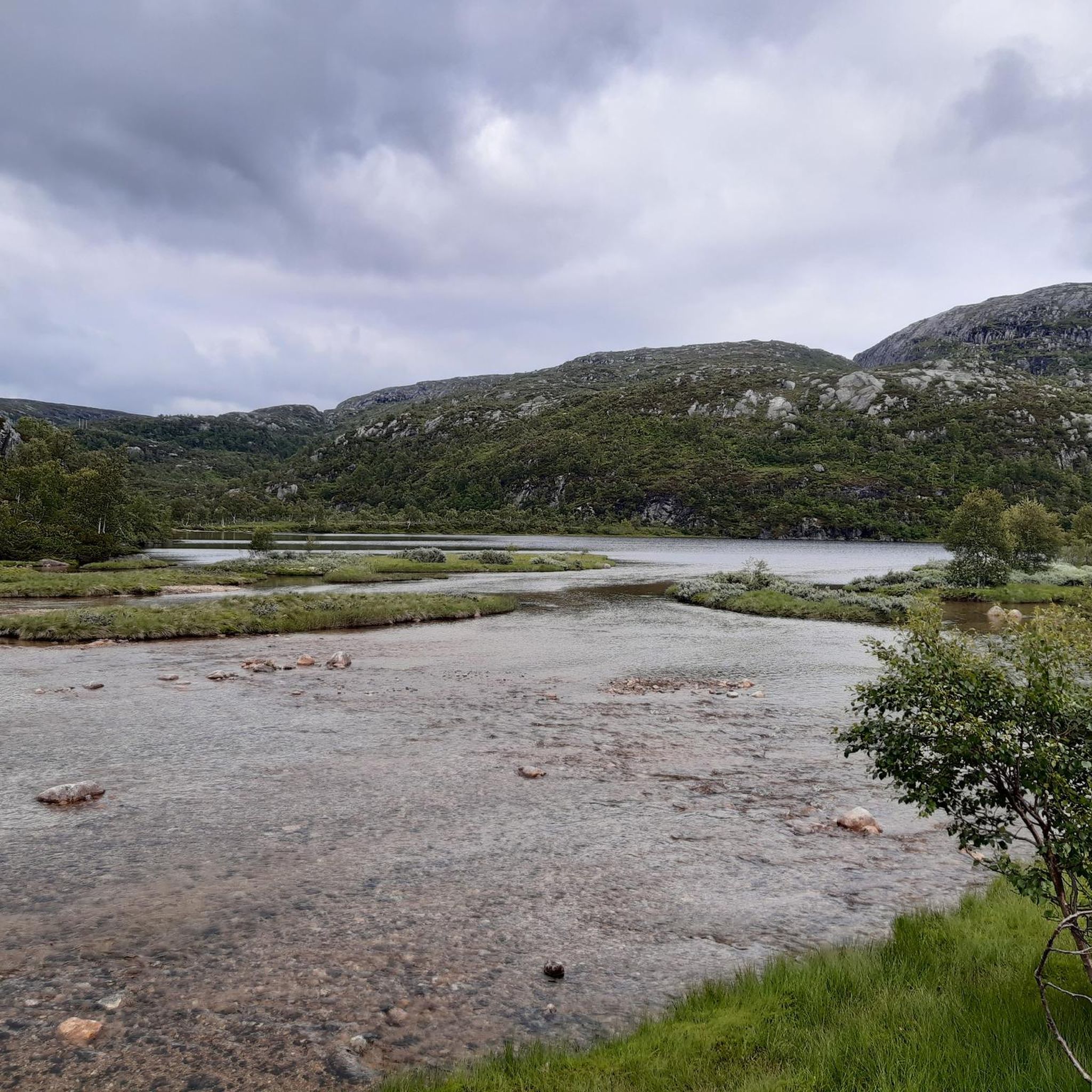
Island Chain in Setesdal Vesthei Ryfylkeheiane Landscape Protection Area
Highlight (Segment) • Lake
Translated by Google •
Tip by
Svarvarnuten Summit
Highlight • Summit
Translated by Google •
Tip by

Sign up for free to discover even more natural monuments around Setesdal Vesthei - Ryfylkeheiane landskapsvernområde.
Already have an account?
Start today with a free account
Your next adventure awaits.
Popular around Setesdal Vesthei - Ryfylkeheiane landskapsvernområde
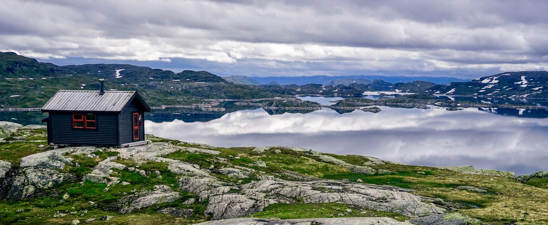
150 km in the Wilderness of Norway
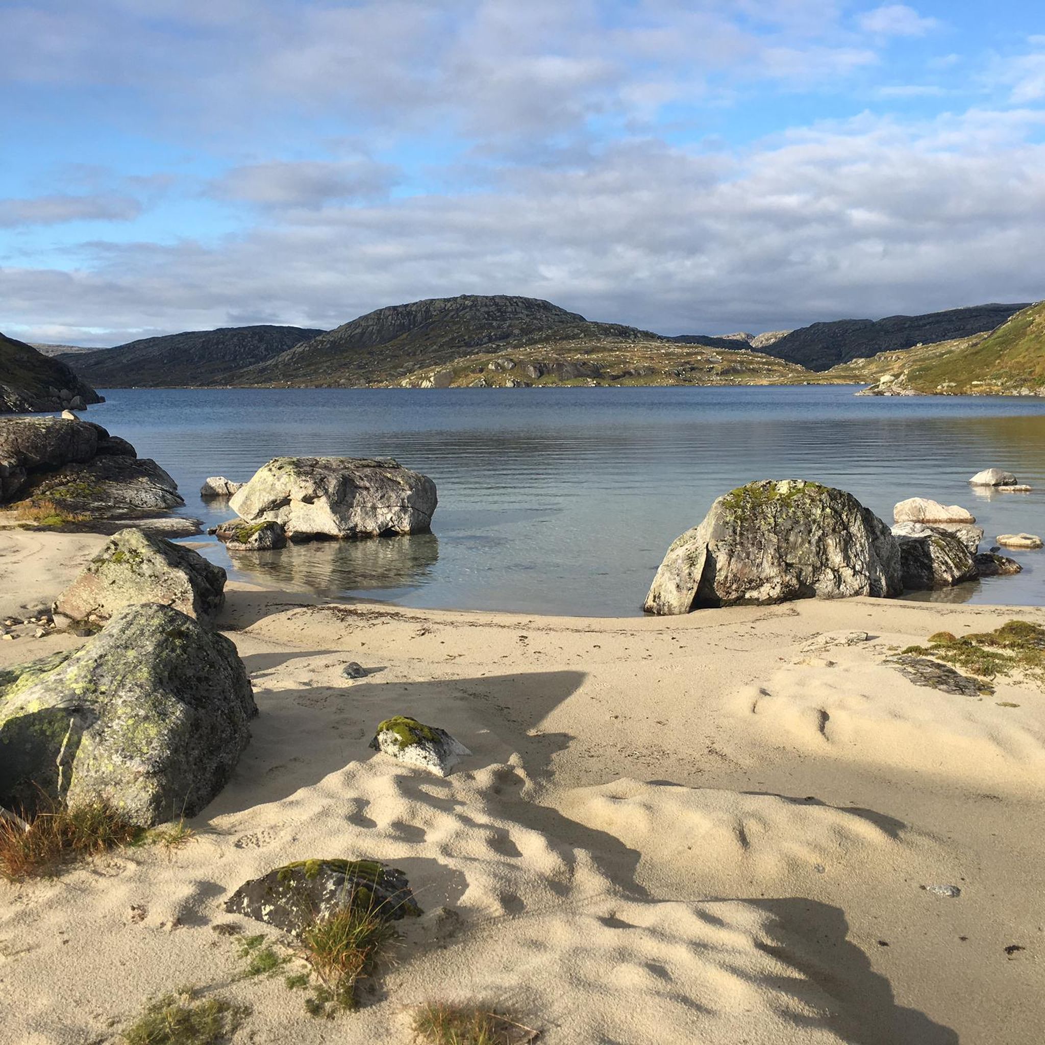
Hiking around Setesdal Vesthei - Ryfylkeheiane landskapsvernområde
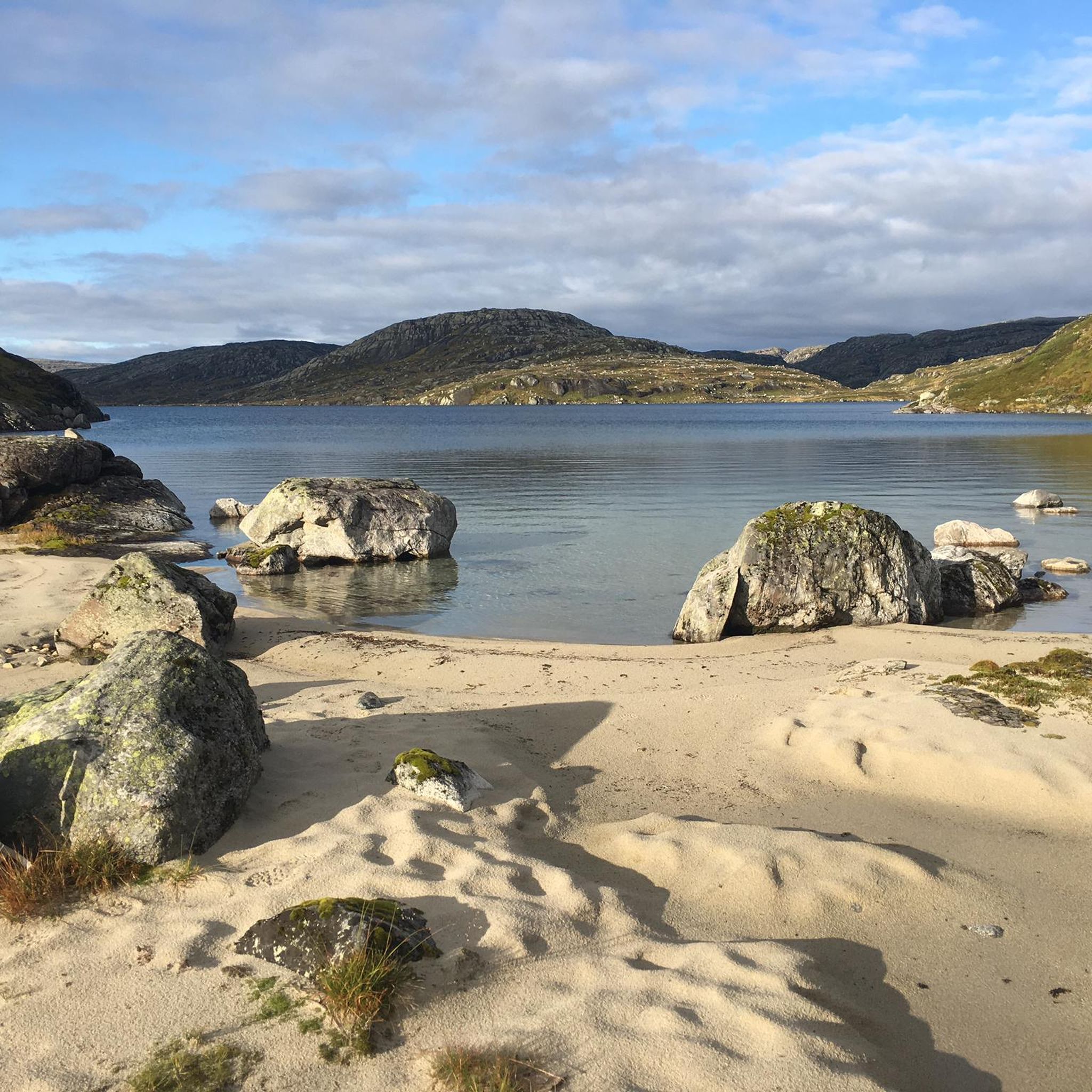
Cycling around Setesdal Vesthei - Ryfylkeheiane landskapsvernområde
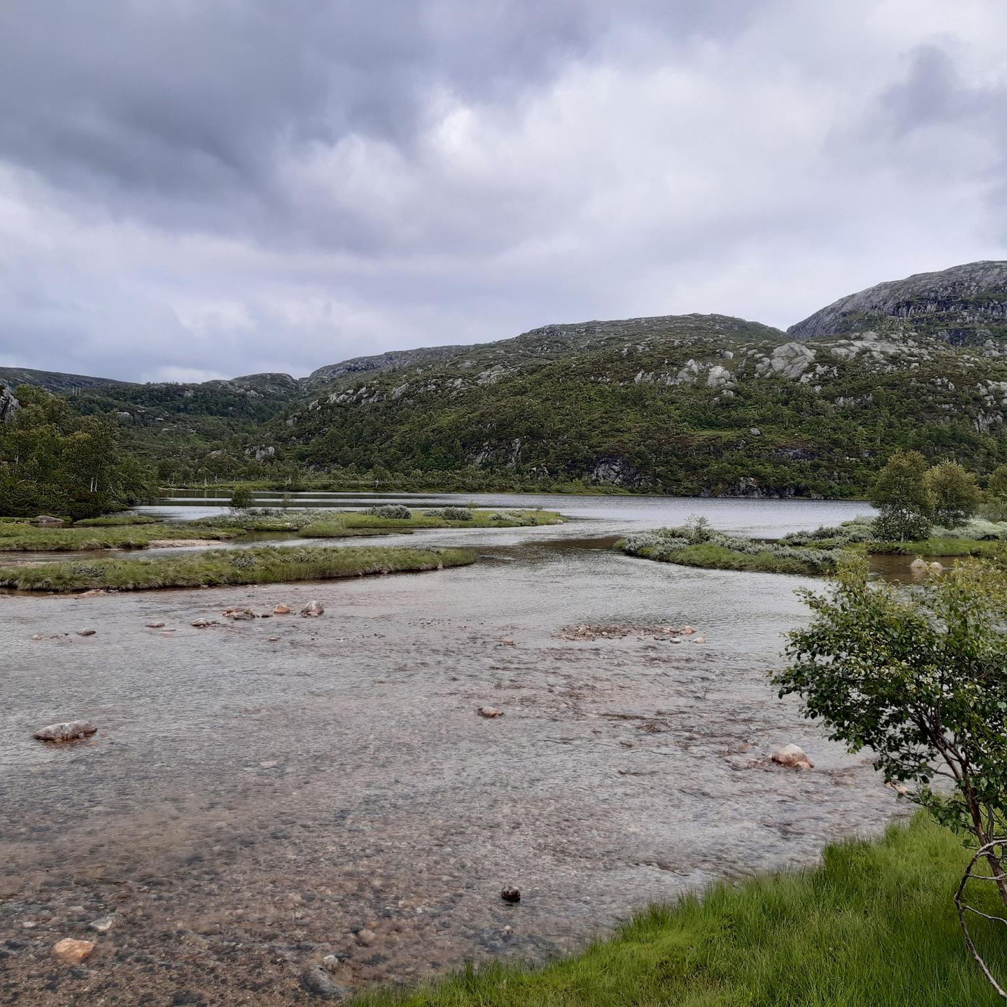
Road Cycling Routes around Setesdal Vesthei - Ryfylkeheiane landskapsvernområde
Running Trails around Setesdal Vesthei - Ryfylkeheiane landskapsvernområde
MTB Trails around Setesdal Vesthei - Ryfylkeheiane landskapsvernområde
Other adventures around Setesdal Vesthei - Ryfylkeheiane landskapsvernområde

Tips from the Community

Breathtaking, couldn't stop taking photos
0
0

Breathtaking views of beautiful, small and large mountain lakes! The route also repeatedly goes directly along the lake shores.
0
0

A beautiful tour through beautiful scenery. Beautiful view at the summit.
0
0

If you come from Setesdal, you first have to overcome the entrance with 3 km with a 10% gradient, then the landscape becomes beautiful. Again and again there are small ramps to overcome, but the views are very rewarding.
0
0

A little less windy than on the summit itself. Good all-round view, also on the way back, which leads back down.
0
0

Great place to stay and take great photos ...
0
0


Coming from Valle, you'll encounter alpine terrain for the first time, which means you make slow progress; on the other hand, you're also at the top for the first time, which is naturally motivating. It still felt quite far to Bossbu, but that could also be because the sun had already set. You could still turn back to the Stavskar i Setesdal Vesthei hut (https://www.komoot.de/highlight/910380), but of course it's nicer to still make it to Bossbu if that's your plan.
0
1
Frequently Asked Questions
What are some of the most impressive natural features to explore in the Setesdal Vesthei - Ryfylkeheiane area?
The region is rich in dramatic natural formations. You can experience the iconic Rest Area Near Støylskardnuten for expansive views, or challenge yourself with the climb to Stavbrokka Pass, which offers breathtaking vistas back to the valley. Further afield, the majestic Lysefjorden, with its towering granite walls, is a geological marvel, and the famous Kjeragbolten boulder, wedged high above the fjord, provides a thrilling experience.
Where can I find the best panoramic views of the landscape?
For stunning panoramic views, consider visiting Svarvarnuten Summit, which offers a terrific 360-degree perspective of the surrounding scenery. The Rest Area Near Støylskardnuten also provides an excellent all-round view, often with less wind than the summit itself. Additionally, the hike to Preikestolen (Pulpit Rock) offers astonishing views over Lysefjorden.
Are there any notable waterfalls in the region?
Yes, Månafossen is Rogaland's largest waterfall and a truly spectacular natural monument. It boasts a free fall of 92 meters and is considered one of the most beautiful waterfalls in the region. The path to the viewpoint is well-maintained, making it accessible for visitors.
Are there any natural monuments with historical or cultural significance?
Absolutely. Skutesteinen, a colossal rock block in the high mountains near Storheddervatnet, features remarkable ancient rune inscriptions and drawings. These carvings, some dating back to the 1100s and 1200s, depict reindeer and an archer, offering a unique glimpse into the long history of human interaction and wild reindeer hunting in this rugged landscape.
What kind of cycling routes are available near these natural monuments?
The area offers a variety of cycling experiences. For road cycling, you can explore routes like the 'Beautiful lake views – Lysebotn Tunnel loop from Ådneram Fjellgrend' or the 'Lysefjord Route'. If you prefer touring, options include the 'Lysebotn Tunnel – Lysebotn loop from Håheller'. You can find more details on these and other routes in the Road Cycling Routes and Cycling around Setesdal Vesthei - Ryfylkeheiane landskapsvernområde guides.
Are there running trails near the natural monuments?
Yes, there are several running trails to enjoy the natural beauty. Options range from easy to difficult, such as the 'Flatastøylfossen loop from Hovden kapell' or the more challenging 'Hovdenuten loop from Hovden kapell'. Explore more running opportunities in the Running Trails around Setesdal Vesthei - Ryfylkeheiane landskapsvernområde guide.
What are some challenging hikes for experienced adventurers?
For those seeking a challenge, the hike to Kjeragbolten is demanding but highly rewarding, offering spectacular views from the boulder itself. The ascent to Stavbrokka Pass also presents a fierce climb, transitioning into alpine terrain. Preikestolen (Pulpit Rock) is another popular, though strenuous, hike offering awe-inspiring perspectives.
What do visitors particularly enjoy about the natural monuments in this area?
Visitors frequently highlight the breathtaking views and the sense of accomplishment after reaching summits or viewpoints. The unique experience of walking through an Island Chain in Setesdal Vesthei Ryfylkeheiane Landscape Protection Area, feeling like you're in a fantasy movie, is also a popular mention. The dramatic landscapes and the opportunity for challenging yet rewarding outdoor activities are consistently praised.
Are there any natural monuments that are particularly suitable for families?
Månafossen Waterfall is a popular choice for families, as the path to its viewpoint is well-maintained with stairs and chains in challenging sections, making it accessible. While many trails in the broader protected area can be challenging, some sections of the Scenic Mountain Road in Setesdal Vesthei Ryfylkeheiane offer beautiful views of mountain lakes that can be enjoyed by all.
What kind of geological formations define the Setesdal Vesthei - Ryfylkeheiane region?
The region is characterized by ancient geological processes and glacial activity. Lysefjorden, for instance, is a classic U-shaped fjord carved by glaciers, flanked by towering granite walls. The presence of the Kjeragbolten boulder, wedged in a mountain crevice, is another testament to the dramatic geological forces that shaped this landscape. The light-colored granite rocks along Lysefjorden also contribute to its unique appearance.
When is the best time to visit the natural monuments in Setesdal Vesthei - Ryfylkeheiane?
The best time to visit for hiking and outdoor activities is typically during the warmer months, from late spring to early autumn (June to September), when the snow has melted, and trails are more accessible. This period offers the most favorable weather conditions for exploring the high mountain plateaus and dramatic fjords.
Can I see wildlife, particularly wild reindeer, near these natural monuments?
The Setesdal Vesthei - Ryfylkeheiane landscape protection area is significant as a habitat for Europe's southernmost wild reindeer population. While spotting them requires patience and luck, the vast wilderness provides an opportunity to observe these magnificent animals in their natural environment, especially in the higher, more remote areas.
Most popular routes around Setesdal Vesthei - Ryfylkeheiane landskapsvernområde
Most popular attractions around Setesdal Vesthei - Ryfylkeheiane landskapsvernområde

Get inspired with the komoot mobile app


Explore more
Extend your search for the best caves by checking out these guides of the top ones around Setesdal Vesthei - Ryfylkeheiane landskapsvernområde:
