The best cycling routes around Setesdal Vesthei - Ryfylkeheiane landskapsvernområde
4.8
(22)
440
riders
24
rides
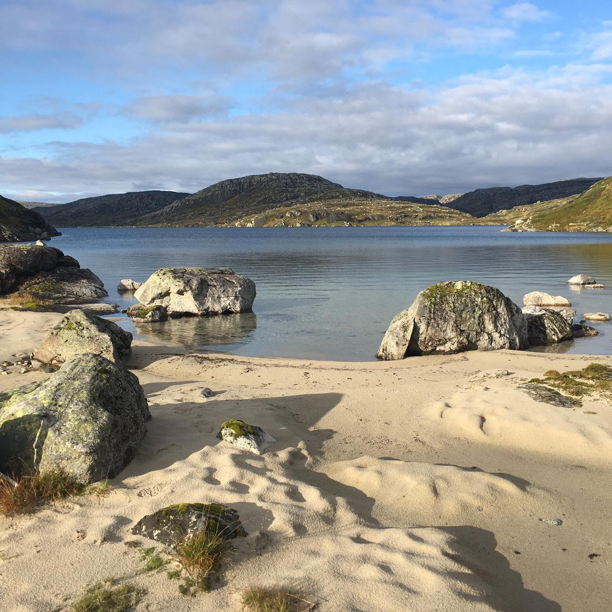
Touring cycling routes around Setesdal Vesthei - Ryfylkeheiane landskapsvernområde traverse Norway's second-largest protected area, characterized by diverse topography. The southern parts feature undulating highlands with birch thickets, pine trees, and numerous small lakes at 800-1000 meters elevation. Moving north, the landscape transitions to expansive, barren plains, heathlands, and rocky outcrops, reaching 1000-1200 meters. The western Ryfylke side offers dramatic highlands that descend into narrow gorges and fjords like Lysefjorden.
Best touring cycling routes around Setesdal Vesthei - Ryfylkeheiane landskapsvernområde
- The…
Last updated: May 16, 2026
5.0
(1)
22
riders
97.0km
07:22
2,470m
2,470m
Hard bike ride. Very good fitness required. Mostly paved surfaces. Suitable for all skill levels.
25
riders
47.7km
03:51
1,450m
1,460m
Hard bike ride. Very good fitness required. Mostly paved surfaces. Suitable for all skill levels.

Sign up for free
4.9
(7)
71
riders
56km
04:27
1,640m
1,640m
Hard bike ride. Very good fitness required. Mostly paved surfaces. Suitable for all skill levels.
5.0
(4)
16
riders
24.2km
01:40
240m
240m
Moderate bike ride. Good fitness required. Mostly paved surfaces. Suitable for all skill levels.
11
riders
Hard bike ride. Very good fitness required. Mostly paved surfaces. Suitable for all skill levels.
Get access to more routes and recommendations from other explorers.
Sign up for free
Already have an account?
Our route recommendations are based on thousands of hikes, rides, and runs completed by other people on komoot.
Start today with a free account
Your next adventure awaits.
Login or Signup
Popular around Setesdal Vesthei - Ryfylkeheiane landskapsvernområde
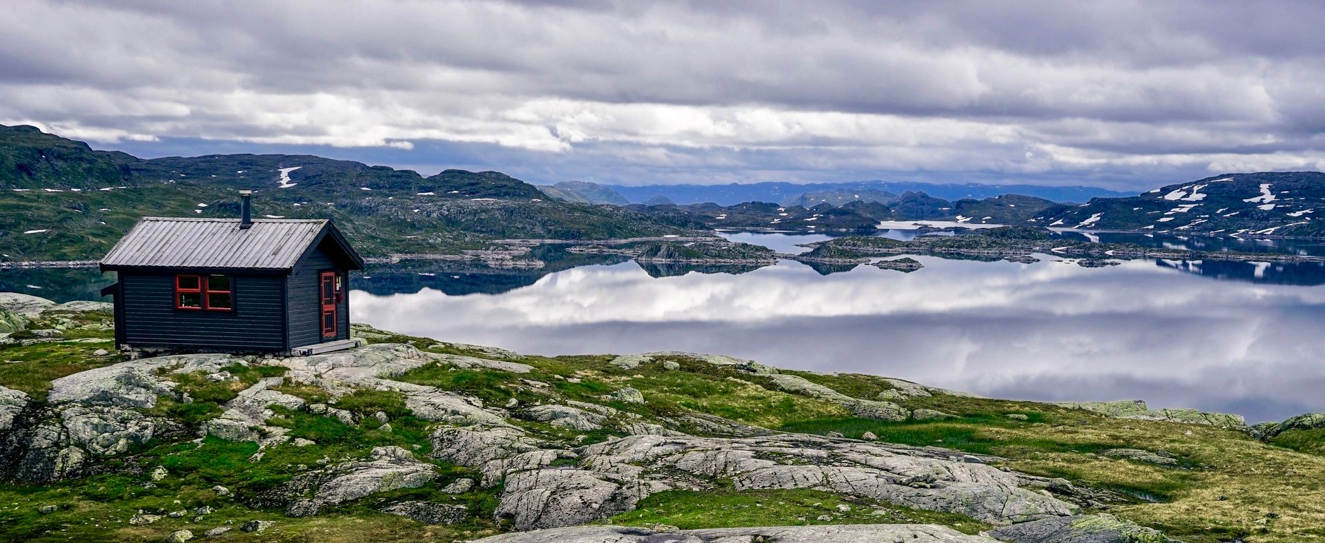
150 km in the Wilderness of Norway
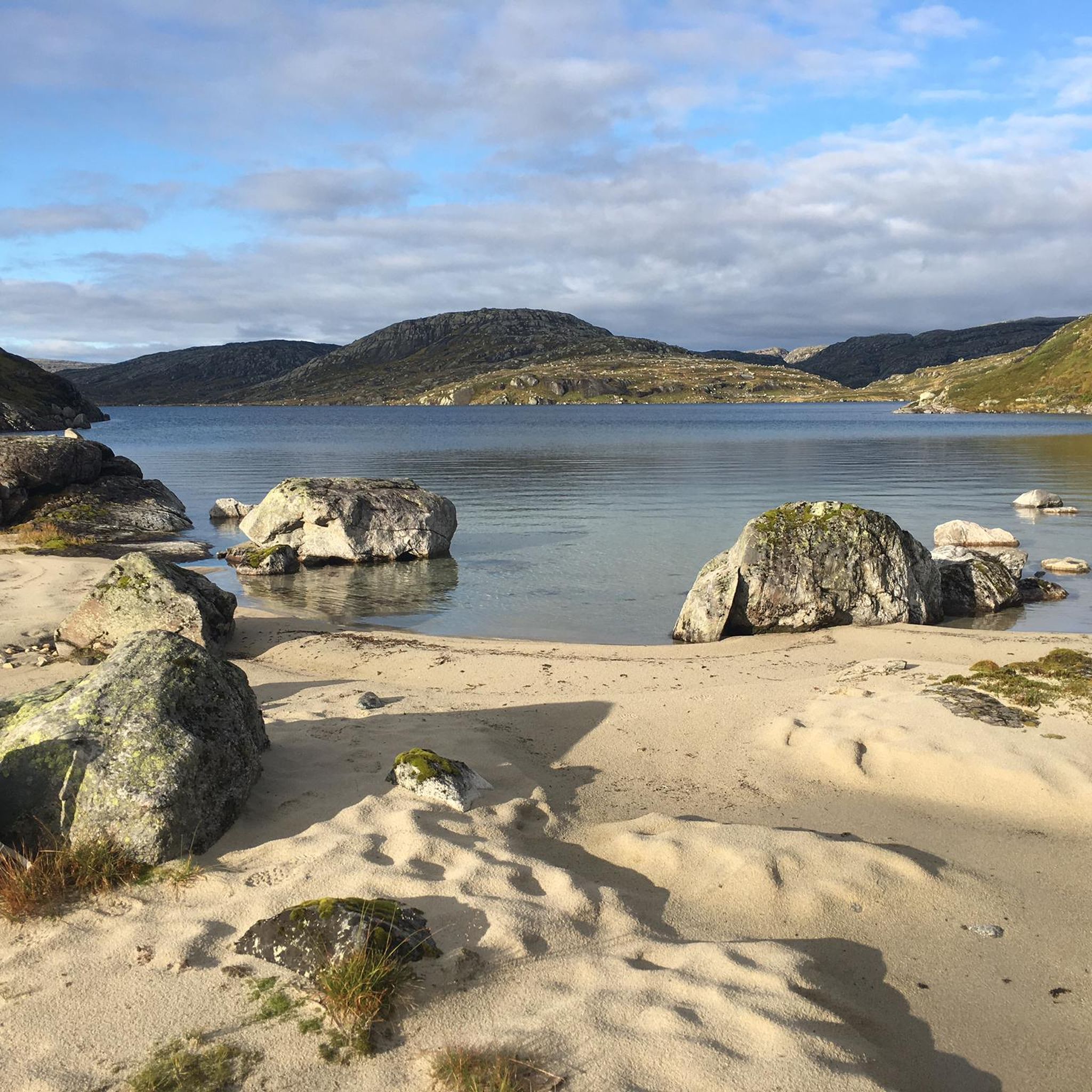
Hiking around Setesdal Vesthei - Ryfylkeheiane landskapsvernområde
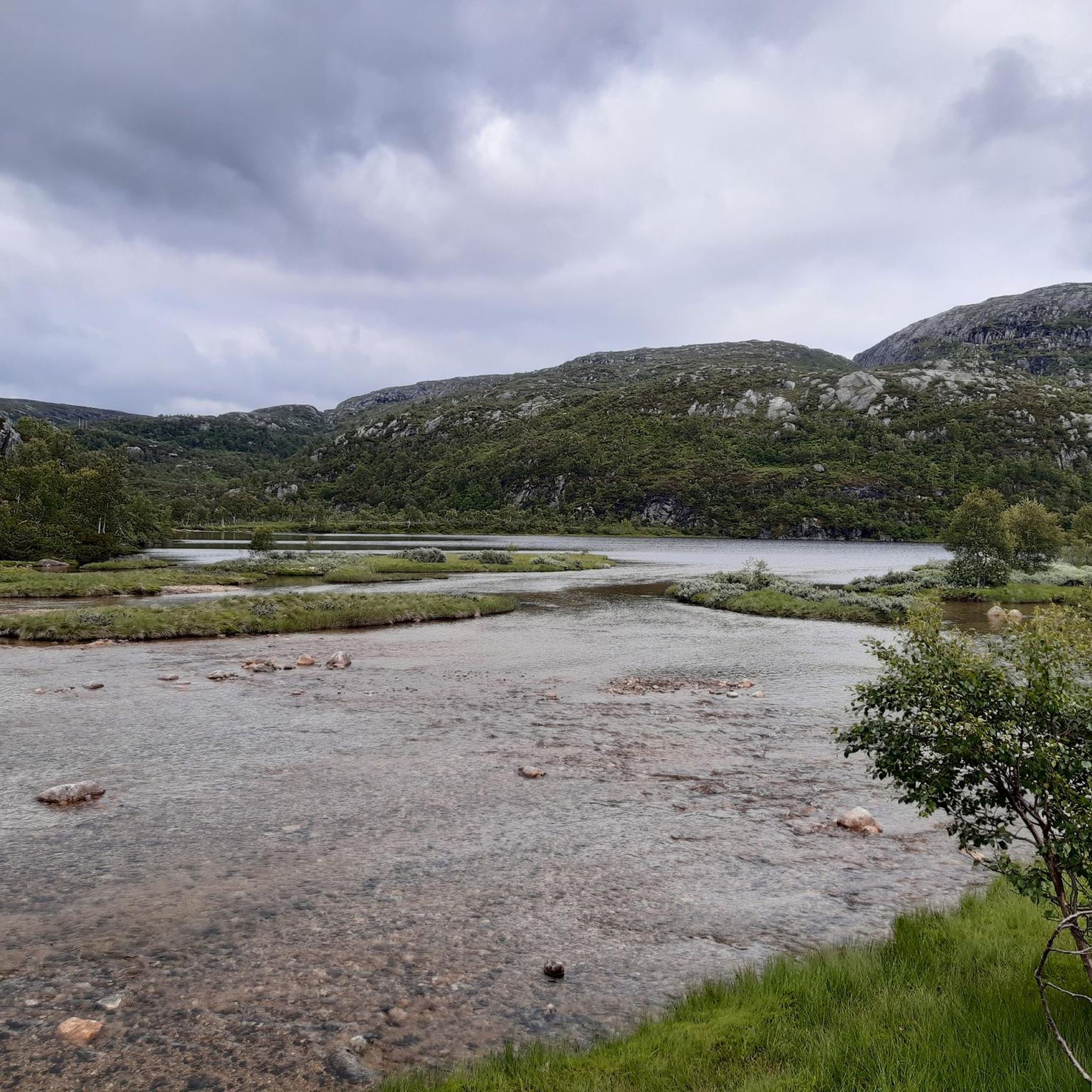
Road Cycling Routes around Setesdal Vesthei - Ryfylkeheiane landskapsvernområde
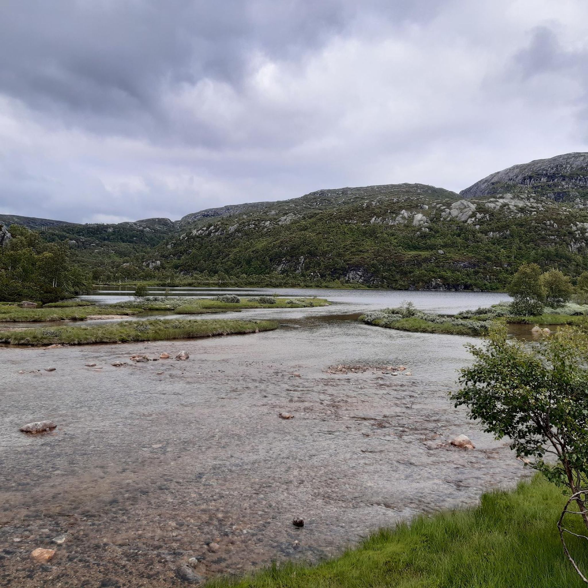
Running Trails around Setesdal Vesthei - Ryfylkeheiane landskapsvernområde
MTB Trails around Setesdal Vesthei - Ryfylkeheiane landskapsvernområde
Other adventures around Setesdal Vesthei - Ryfylkeheiane landskapsvernområde

Tips from the Community


What a stunning view. A typical Fjord paradise from the harbour of Lysebotn. Before taking on the famous pass, enjoy the view and the pretty village.
0
0

Heated toilet with water, tables and a nice spot for a tent
0
0

The tunnel is easy to navigate and well lit
1
1

Drives over the plateau south of Haukeli. A scenic experience
0
0
Driveway to the plateau, scenic with good views. Little traffic
0
0


If there is still snow around and a freezing storm makes it difficult to find a campsite, this place offers great shelter.
0
0
Frequently Asked Questions
What kind of terrain can I expect when touring cycling in Setesdal Vesthei - Ryfylkeheiane landskapsvernområde?
The region offers a diverse topography. In the south, you'll find gently undulating highlands with birch thickets, pine trees, and numerous small lakes at 800-1000 meters. Moving north, the landscape transitions to expansive, barren plains, heathlands, and rocky outcrops, reaching 1000-1200 meters. The western Ryfylke side features dramatic highlands that descend into narrow gorges and fjords like Lysefjorden, offering breathtaking views.
Are there challenging touring cycling routes in Setesdal Vesthei - Ryfylkeheiane landskapsvernområde?
Yes, the area is known for its challenging routes, particularly those involving significant elevation changes. For example, the Lysebotn Tunnel – Lysebotn loop from Håheller is a difficult 97 km route with over 2400 meters of elevation gain. Another challenging option is the Kjerag Trailhead Parking – Lysevegen Hairpin Bends loop from Lyse kapell, which includes steep gradients and rewarding vistas.
What natural attractions or landmarks can I see while cycling in Setesdal Vesthei - Ryfylkeheiane landskapsvernområde?
The landscape itself is a major attraction, featuring smooth, glaciated bedrock, moraine ridges, and scattered boulders. You can also find notable viewpoints like the Rest Area Near Støylskardnuten, or experience the dramatic Scenic Mountain Road in Setesdal Vesthei Ryfylkeheiane. The region is also dotted with thousands of small tarns and lakes, and the western side offers views of iconic fjords such as Lysefjorden.
Are there circular touring cycling routes in the area?
Yes, many routes are designed as loops, allowing you to start and end at the same point. Examples include the Lysebotn Tunnel – Lysebotn loop from Håheller and the Lysebotn Tunnel – Lysebotn loop from Tjodanpollen, both offering extensive circular tours through the high-altitude landscape.
What is the best time of year for touring cycling in Setesdal Vesthei - Ryfylkeheiane landskapsvernområde?
The best time for touring cycling is typically during the summer months, from late spring to early autumn. During this period, snow has usually melted from the higher elevations, and the weather is more favorable. Some peaks may retain snowfields throughout the summer, so it's always advisable to check local conditions before heading out.
Are there any facilities or accommodation options along the cycling routes?
The Norwegian Trekking Association (DNT) maintains numerous well-equipped cabins throughout the protected area, which can serve as overnight stays or rest stops. An example is the Bossbu Cabin by Botnsvatnet, which is beautifully situated by a lake and open year-round for self-catering. These huts provide essential amenities for longer tours.
How many touring cycling routes are available in Setesdal Vesthei - Ryfylkeheiane landskapsvernområde?
There are over 25 touring cycling routes available in Setesdal Vesthei - Ryfylkeheiane landskapsvernområde, catering to various skill levels from moderate to difficult. These routes have been explored by over 400 touring cyclists using komoot.
What do other touring cyclists enjoy the most about cycling in Setesdal Vesthei - Ryfylkeheiane landskapsvernområde?
The area is highly rated by the komoot community, with an average score of 4.8 stars from over 23 reviews. Cyclists often praise the spectacular scenery, the diverse topography ranging from undulating highlands to barren plains, and the breathtaking views over fjords like Lysefjorden.
Can I find routes that follow old railway tracks or pass through tunnels?
Yes, the National Bicycle Route 3 (Fjord og fjell), which traverses parts of the area, offers cyclists the chance to follow old railway tracks. These routes often lead alongside picturesque valleys, rock formations, lakes, and include short tunnels, providing a unique cycling experience.
Are there any moderate touring cycling routes in the region?
While many routes are challenging, there are also moderate options available. For instance, the Flatastøylfossen – Ormehaugen loop from Hovden Hyttegrend is a moderate 24 km route that takes approximately 1 hour 40 minutes to complete, offering a less strenuous but still scenic experience.
What are the typical elevations encountered on touring cycling routes here?
The elevations vary significantly across the region. In the southern parts, routes typically range between 800-1000 meters. Moving north, the landscape rises to 1000-1200 meters, with some rugged peaks reaching 1200-1400 meters. Routes like the Lysebotn Tunnel – Lysebotn loop from Ådneram Fjellgrend involve substantial climbs, with over 1600 meters of elevation gain.
Most popular routes around Setesdal Vesthei - Ryfylkeheiane landskapsvernområde
Most popular attractions around Setesdal Vesthei - Ryfylkeheiane landskapsvernområde

Get inspired with the komoot mobile app


Explore more
Browse the best Cycling routes in other regions.
