The best walks and hikes around Setesdal Vesthei - Ryfylkeheiane landskapsvernområde
4.3
(1316)
5,660
hikers
12
hikes
Hiking around Setesdal Vesthei - Ryfylkeheiane landskapsvernområde offers a true wilderness experience across Norway's second-largest protected area. The region features open moorland, wide valleys, and untouched mountain areas, sculpted by the last ice age. Geologically, it includes parts of the ancient Baltic Shield, with smooth rock slabs, moraine ridges, and numerous small lakes. The terrain ranges from elevations of 800 to 1600 meters, including high peaks and dramatic fjords on the western side.
Best hiking trails around Setesdal Vesthei - Ryfylkeheiane landskapsvernområde
- The most popular hiking route is Trail to Børsteinen Cabin, a 1.9 miles (3.0 km) trail that takes 1 hour to complete. This moderate route leads to a historic cabin, offering a glimpse into the region's past.
- Another top favourite among local hikers is From Gaukhei to Tjønndalen, a moderate 8.0 miles (12.8 km) path. This trail connects two remote locations, traversing varied mountain terrain.
- Local hikers also love the From Hovatn to Storsteinen, a 8.8 miles (14.1 km) trail leading through open mountain landscapes, often completed in about 4 hours 5 minutes.
- Hiking around Setesdal Vesthei - Ryfylkeheiane landskapsvernområde is defined by extensive moorland, numerous lakes, and rugged mountain peaks, with routes catering to various ability levels from moderate day trips to multi-day treks.
- The routes in Setesdal Vesthei - Ryfylkeheiane landskapsvernområde are highly rated by the komoot community with an average score of 4.5 stars from over 1000 reviews. More than 4000 hikers have used komoot to explore Setesdal Vesthei - Ryfylkeheiane landskapsvernområde's varied terrain.
Last updated: October 10, 2026
5.0
(2)
9
hikers
3.03km
00:57
40m
40m
This moderate 1.9-mile hike leads to the Børsteinen DNT cabin, offering family-friendly access and views of Børsteinsvatnet lake.
1.0
(1)
27
hikers
9.83km
02:41
140m
140m
Moderate hike. Good fitness required. Easily-accessible paths. Suitable for all skill levels.

4.0
(1)
16
hikers
12.8km
03:40
250m
380m
Moderate hike. Good fitness required. Easily-accessible paths. Suitable for all skill levels.
7
hikers
14.1km
04:04
280m
460m
Moderate hike. Good fitness required. Easily-accessible paths. Suitable for all skill levels.
4.0
(6)
24
hikers
Moderate hike. Good fitness required. Easily-accessible paths. Suitable for all skill levels.
Get access to more routes and recommendations from other explorers.
Already have an account?
Our route recommendations are based on thousands of hikes, rides, and runs completed by other people on komoot.
Start today with a free account
Your next adventure awaits.
Popular around Setesdal Vesthei - Ryfylkeheiane landskapsvernområde
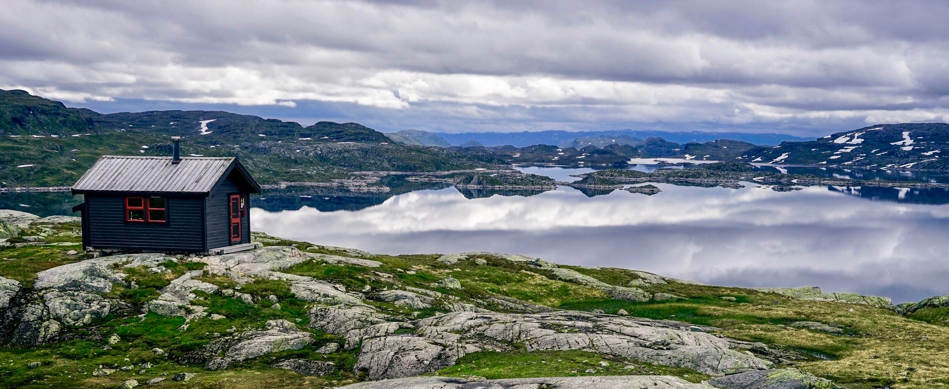
150 km in the Wilderness of Norway
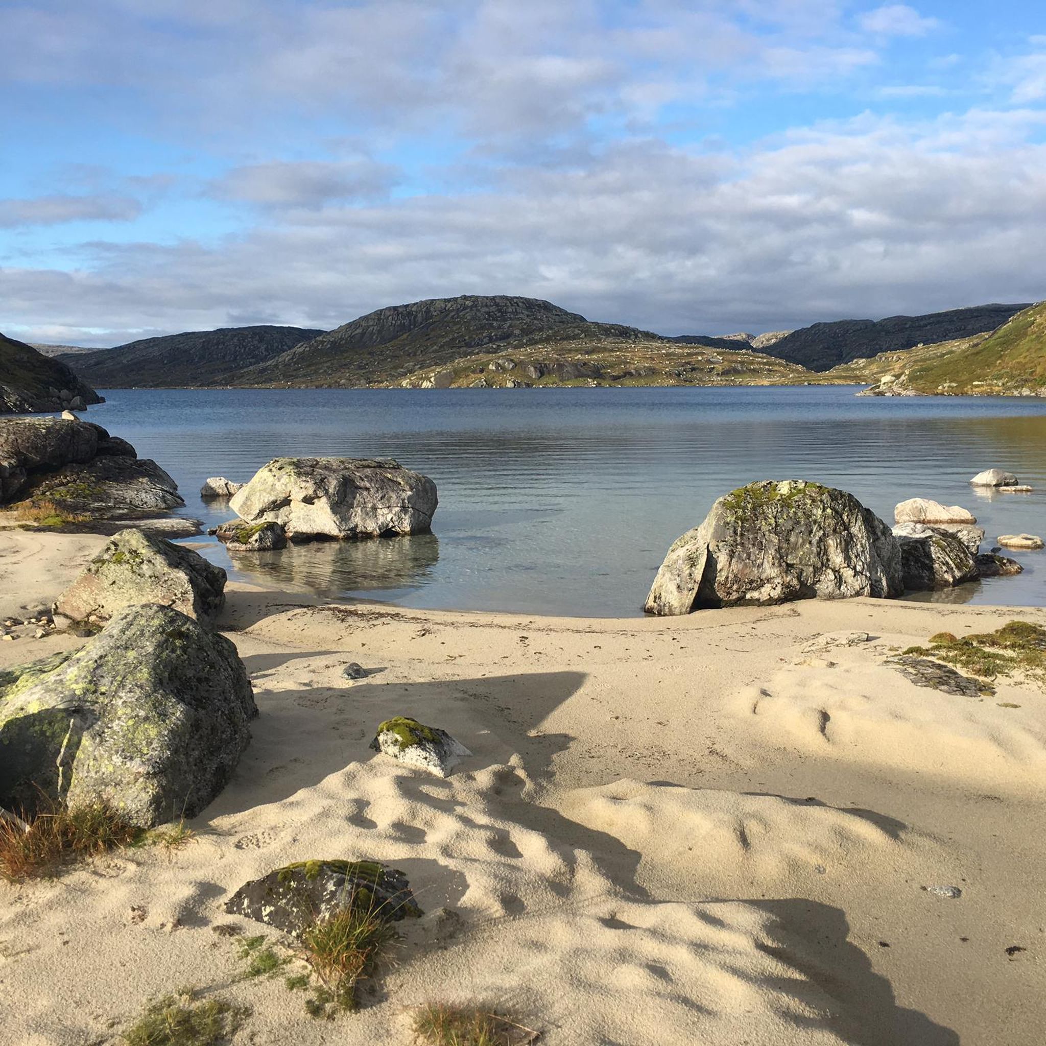
Cycling around Setesdal Vesthei - Ryfylkeheiane landskapsvernområde
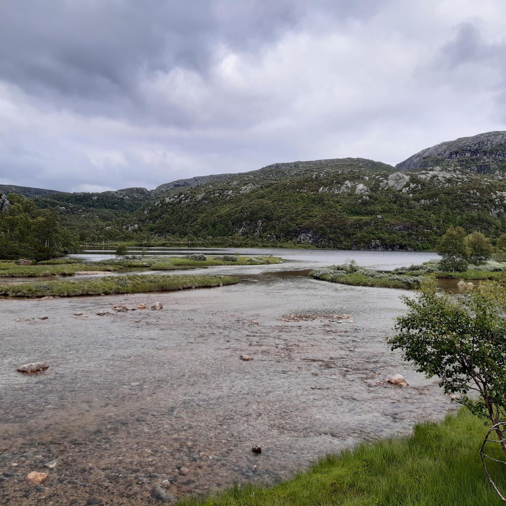
Road Cycling Routes around Setesdal Vesthei - Ryfylkeheiane landskapsvernområde
Running Trails around Setesdal Vesthei - Ryfylkeheiane landskapsvernområde
MTB Trails around Setesdal Vesthei - Ryfylkeheiane landskapsvernområde
Other adventures around Setesdal Vesthei - Ryfylkeheiane landskapsvernområde

Tips from the Community

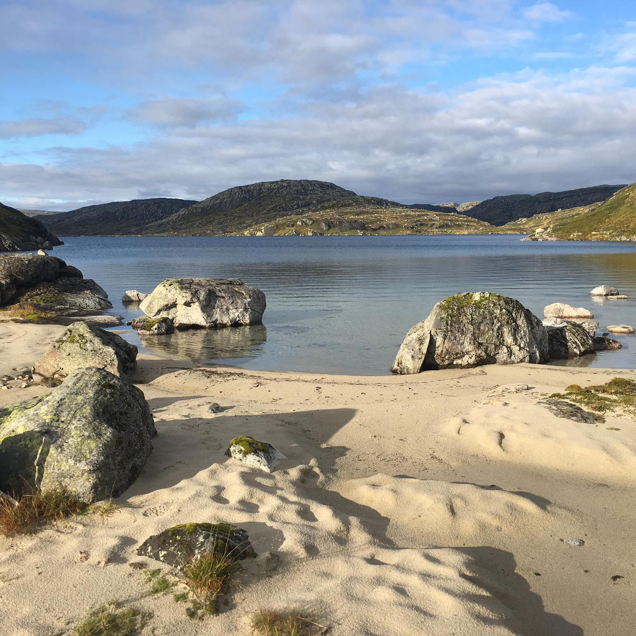
Small and quiet beach. Enjoy the tranquillity and take a refreshing dip in the cool water.
0
0

At this crossroads, you will find the turnoff to the spacious, modern Hovatn Hut. It is located about one kilometre to the east and is open year-round.
0
0
Here, seemingly in the middle of nowhere, you will find the DNT Hovatn hut. You can stay overnight in this modern wooden hut during your tour in the backcountry. The hut is beautifully situated on a small hill by Lake Hovatn and offers a total of 28 beds. You can find all further information about the hut here: https://ut.no/hytte/101034/hovatn.
0
0
Gaukhei is a historic self‑service mountain cabin run by DNT Sør located deep in the Setesdal Vesthei wilderness at about 843 m above sea level, and it is considered the oldest tourist hut in the region, with origins dating back to 1898 and 46 sleeping places.
0
0
Tjønndalen is a small, unstaffed DNT Sør mountain hut in the Setesdal Vesthei area that offers six bunks and basic facilities such as a kitchen with a stove and duvets, with water from a nearby stream and a wood stove for heat. The cabin lies just below the treeline and is often used as a rest point or overnight stop on the long trail between Langeid and Gaukhei in the highlands of Agder.
0
0

A narrow wooden bridge takes you over a small creek named Grytdalsånå and keeps your feet dry.
0
0

It invites you to linger. There are small sandy beach areas next door. There are also canoes here. Maybe you can rent them?
0
0

The only sign of civilization after days in the wild.
0
0
Frequently Asked Questions
How many hiking trails are available in Setesdal Vesthei - Ryfylkeheiane landskapsvernområde?
The region offers over 10 hiking routes, catering to various skill levels. These include 2 easy trails and 9 moderate trails, providing diverse options for exploring this vast protected area.
What kind of terrain can I expect when hiking in Setesdal Vesthei - Ryfylkeheiane?
You can expect a diverse landscape shaped by the last ice age, featuring open moorland (hei), wide valleys, and untouched mountain regions. The terrain includes smooth rock slabs, moraine ridges, and thousands of small lakes. Elevations range from 800 to 1600 meters, with dramatic fjords like Lysefjorden on the western side and high peaks such as Rjuven and Snønuten.
Are there easy hiking options suitable for beginners or those looking for a shorter walk?
Yes, there are easy options available. For instance, the Trail to Børsteinen Cabin is a moderate 3 km route that can be completed in about an hour, offering a gentle introduction to the region's beauty and a glimpse into its history.
What natural landmarks or attractions can I see while hiking in the area?
The region is rich in natural wonders. You can visit Bossbu Cabin by Botnsvatnet, explore the Stavbrokka Pass, or enjoy views of Lake Rennevatnet. The dramatic western side also offers breathtaking views over fjords like Lysefjorden. The famous Kjeragbolten, a rock wedged in a mountain crevice, is also nearby, offering spectacular views.
Are there any historical or cultural sites to explore along the trails?
Yes, the area has a rich cultural heritage. You can find ancient summer farming areas (stølsområde), grazing landscapes, and cultural monuments, including ancient trapping sites. The historic self-service DNT cabin, Gaukhei, established in 1898, is considered the oldest tourist hut in the region and offers a unique insight into its past.
What is the best time to visit Setesdal Vesthei - Ryfylkeheiane for hiking?
The primary hiking season typically runs from late spring to early autumn, when trails are generally free of snow and weather conditions are most favorable. However, some higher peaks may retain snow well into the summer. The extensive network of trails is also suitable for winter use, offering opportunities for cross-country skiing and snowshoeing.
Can I bring my dog on the trails in Setesdal Vesthei - Ryfylkeheiane?
Many trails in the protected area are dog-friendly, but it's crucial to keep dogs on a leash, especially during the grazing season and to protect the vital wild reindeer population. Always check local regulations and signage for specific trail rules regarding pets.
Are there family-friendly hiking trails in the region?
While many trails are moderate and involve varied mountain terrain, there are options suitable for families. Shorter, less strenuous routes can be found, particularly around DNT cabins or lower elevations. It's advisable to check the specific trail details for elevation gain and distance to ensure it matches your family's ability.
Are there places to stay overnight in the area, such as cabins or shelters?
Yes, the region is well-equipped with an extensive network of cabins maintained by the Norwegian Trekking Association (DNT), such as the historic Gaukhei cabin. Some historic wilderness farms, like Mån, also offer overnight stays. These options provide excellent bases for multi-day treks.
What do other hikers enjoy most about Setesdal Vesthei - Ryfylkeheiane?
The area is highly rated by the komoot community, with an average score of 4.5 stars from over 1000 reviews. Hikers often praise the true wilderness experience, the vast and varied natural landscape, and the extensive network of well-maintained trails that cater to all levels. The breathtaking views over fjords and the chance to spot wild reindeer are also frequently highlighted.
Are there any circular hiking routes available?
Yes, the region offers several circular routes. For example, the Summit Above Håheller – Håheller Cabin (DNT) loop from Roskreppfjord sekundærdam 2 is a moderate 13.9 km loop that allows you to experience diverse mountain scenery without retracing your steps.
Can I find waterfalls in Setesdal Vesthei - Ryfylkeheiane?
Yes, the region is home to impressive waterfalls. Southwest Norway's highest waterfall, Månafossen, with a drop of 90 meters, is a notable attraction within or near the protected area, offering a spectacular sight for visitors.
Most popular routes around Setesdal Vesthei - Ryfylkeheiane landskapsvernområde
Most popular attractions around Setesdal Vesthei - Ryfylkeheiane landskapsvernområde

Get inspired with the komoot mobile app


Explore more
Browse the best Hikes in other regions.
