The 5 Most Amazing Peaks around Hilpoltstein
Mountain peaks around Hilpoltstein offer varied terrain and scenic viewpoints within Bavaria, Germany. The region features elevated landscapes, with maximum elevations reaching approximately 600 meters. This area is characterized by forests, meadows, and proximity to the Rothsee lake, providing diverse natural environments. Visitors can explore numerous hiking trails that traverse these elevated areas, offering panoramic views of the Franconian Lake District and the Main-Danube Canal.
Best mountain peaks around Hilpoltstein
- The most popular mountain peaks is Pilgrimage Church of the…
Last updated: August 8, 2026
Pilgrimage Church of the Fourteen Holy Helpers on Möninger Berg
Highlight • Religious Site
Translated by Google •
Tip by

Lehhof – Highest Point in Roth District (612 m)
Highlight • Summit
Translated by Google •
Tip by

Sign up now to discover places like this
Get recommendations on the best single tracks, peaks, & plenty of other exciting outdoor places.
Sign up for free
Sulzbürg Summit Plateau
Highlight • Summit
Translated by Google •
Tip by

Summit Cross on Hasenbruck Island
Highlight • Summit
Translated by Google •
Tip by

Sulzbürg Schlossberg Summit
Highlight (Segment) • Summit
Translated by Google •
Tip by

Start today with a free account
Your next adventure awaits.
Login or Signup
Popular around Hilpoltstein
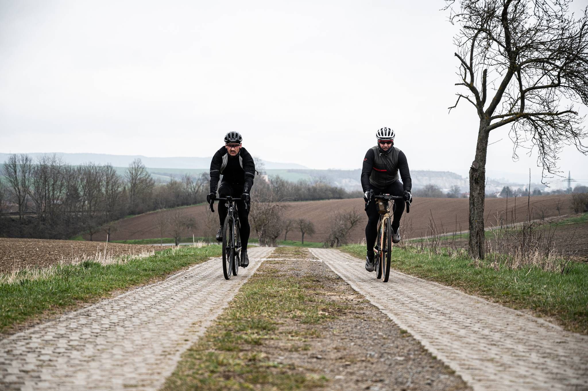
Cycling across Germany – my journey to the southernmost point of Germany
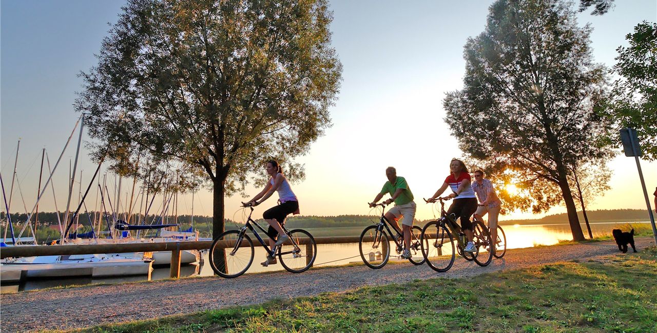
Cycling through Franconia – Germany’s Lake District
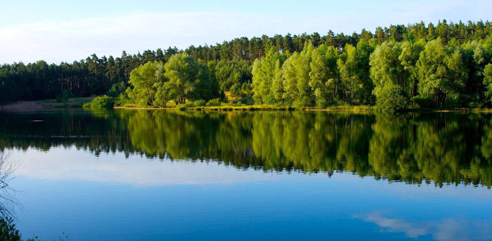
The most beautiful swimming lakes around Nuremberg
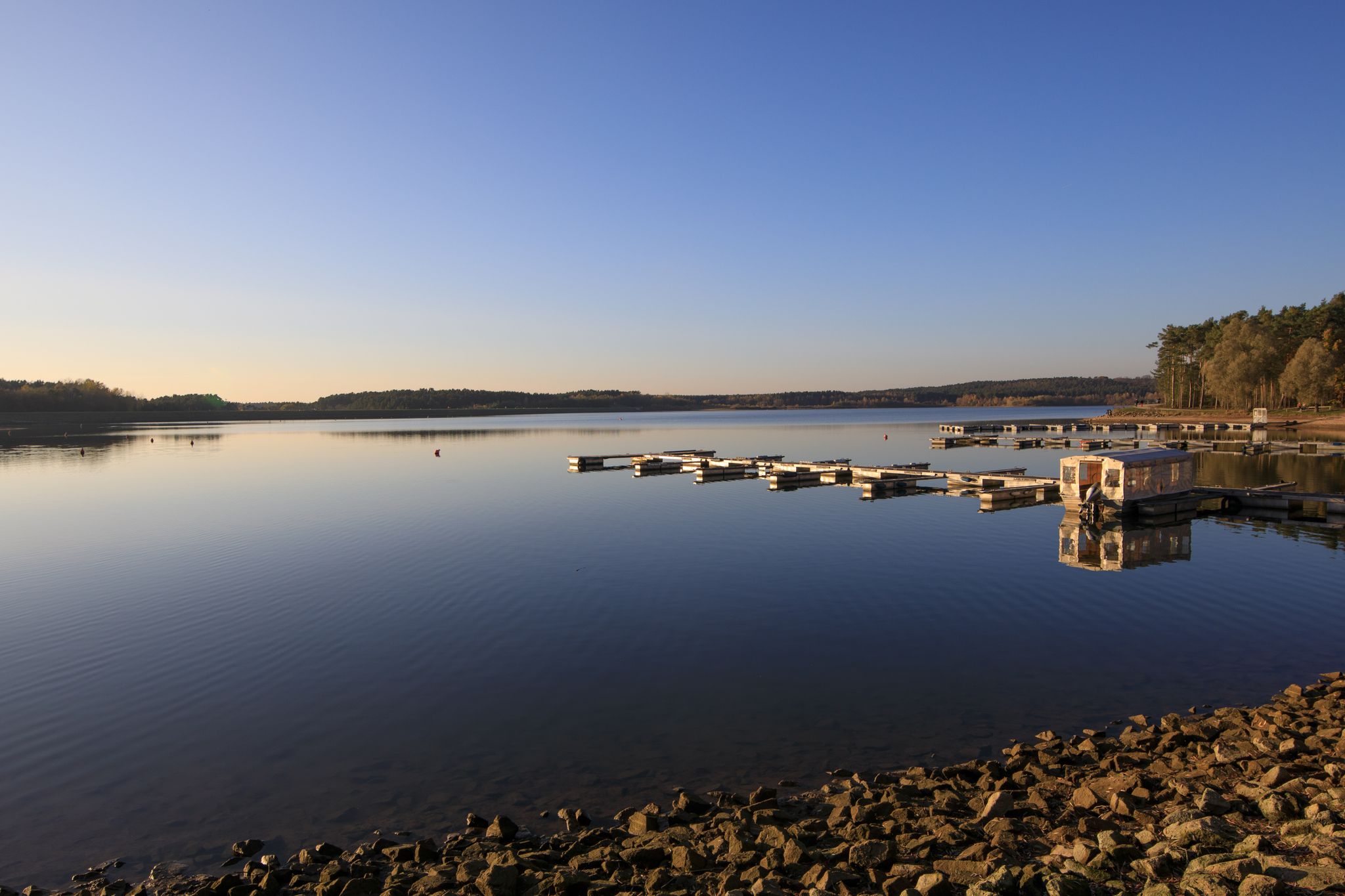
Der Rothsee und seine Region
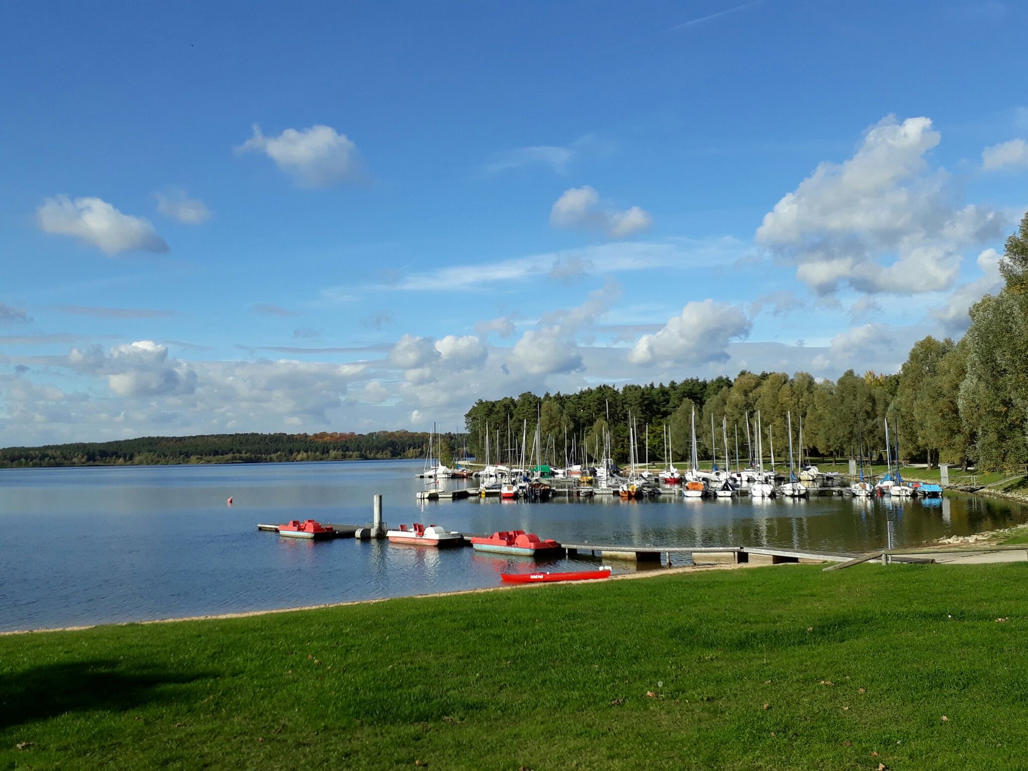
All-Hi-Ro-Weg Mehrtagestour - Entdecke die „3 am Rothsee”
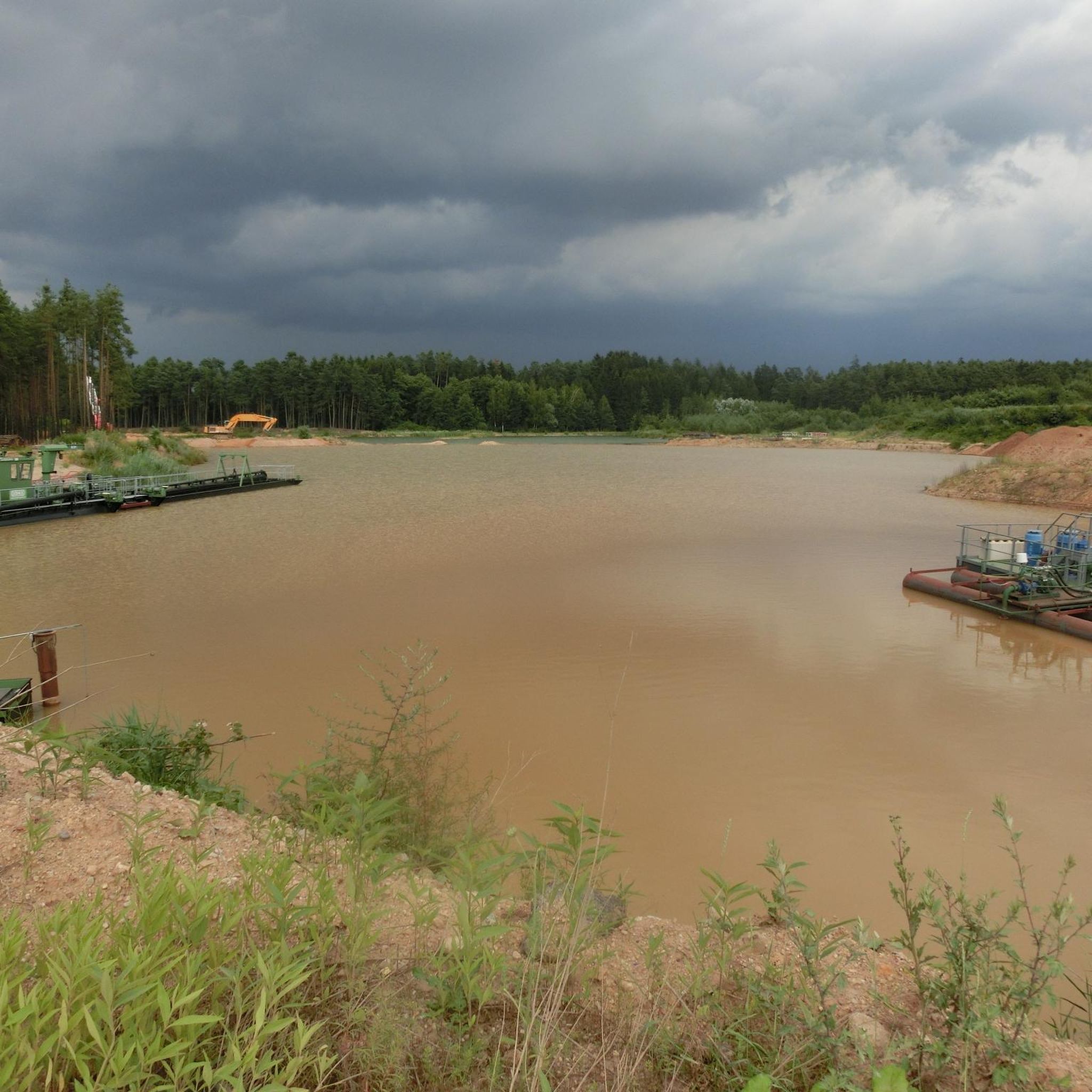
Cycling around Hilpoltstein
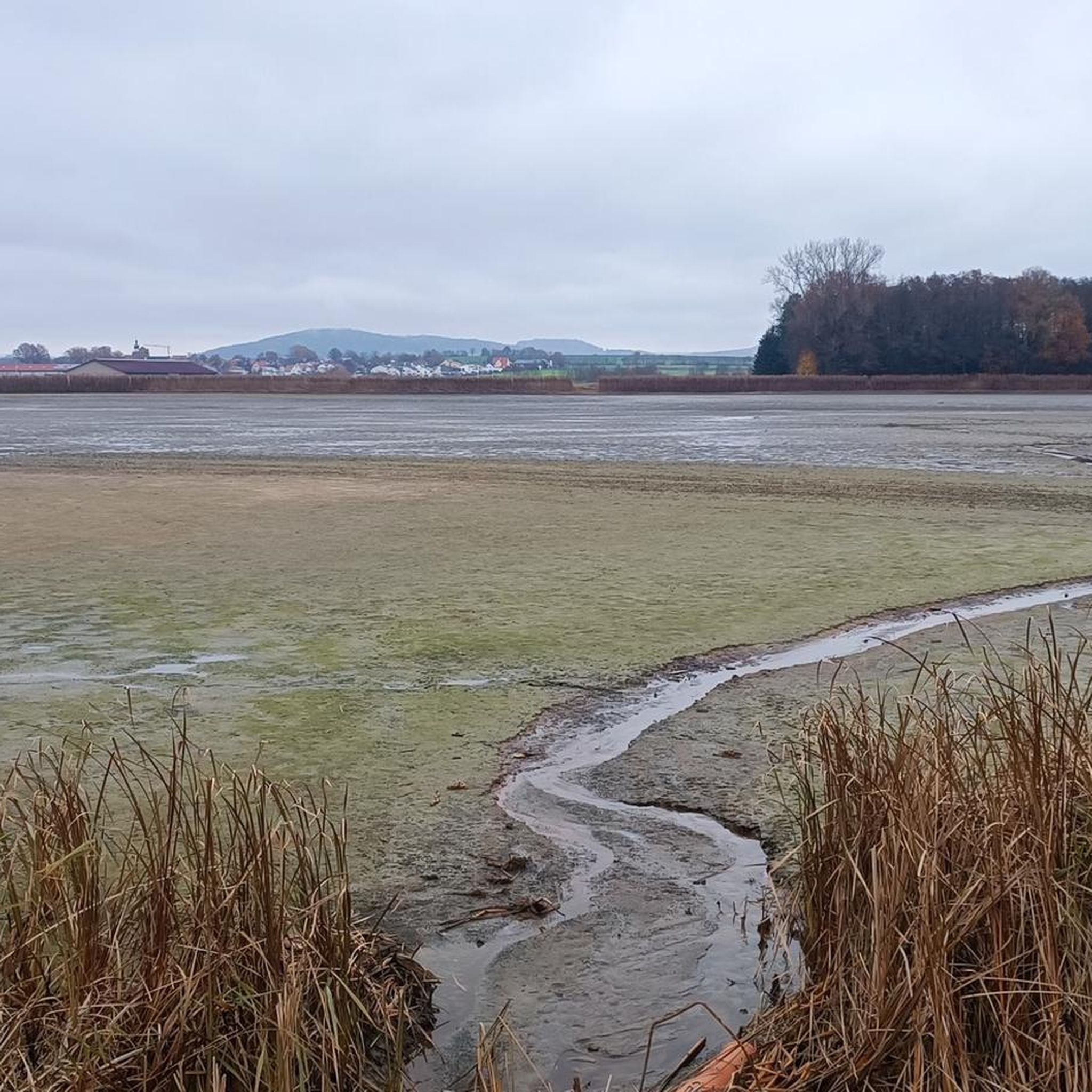
Running Trails around Hilpoltstein
Road Cycling Routes around Hilpoltstein
Hiking around Hilpoltstein
MTB Trails around Hilpoltstein
Other adventures around Hilpoltstein


Tips from the Community

"You set my feet in a wide-open place" Psalm 31:9 (LUT 2017)
0
0

Pilgrimage Chapel of the Fourteen Holy Helpers In 1794, farmer Ägidius Wolf brought back an image of the Virgin Mary, the Christ Child, and the Fourteen Holy Helpers from a pilgrimage and began building a chapel for it on Möninger Berg. He and his descendants maintained the chapel and continued to expand it for 80 years. It acquired its current Neo-Gothic form in 1884. It was consecrated on August 24, 1885. To this day, the Möninger Berg Festival, a pilgrimage to the Fourteen Holy Helpers, is celebrated annually on the last Sunday in August. The Neo-Gothic chapel consists of a nave and a recessed, three-sided apse to the west. An octagonal bell tower, topped with a pointed spire and resting on corbels, is set into the west gable and houses the bell frame. Source: www.wikipedia.de
3
0

The mountain church on the plateau of the Möninger Berg is open from Easter to All Saints' Day on Sundays and public holidays from 2 p.m. to 6 p.m.
3
0


Beautifully situated neo-Gothic church on a spacious plateau.
2
0

Wide view into nothingness The descent to Ohlangen is really interesting.
0
0
Anyone who makes it up here deserves the view
0
0

Nice approach/exit also at the back via Ohlangen.
0
0
Frequently Asked Questions
What are the most popular elevated points or 'peaks' to visit around Hilpoltstein?
Visitors frequently enjoy the Pilgrimage Church of the Fourteen Holy Helpers on Möninger Berg, known for its historical church and panoramic views. Another favorite is the Sulzbürg Schlossberg Summit, which offers rewarding views after a challenging ascent. The Lehhof – Highest Point in Roth District (612 m) is also a significant natural monument offering wide vistas.
Are there family-friendly elevated areas or viewpoints around Hilpoltstein?
Yes, several spots are suitable for families. The Pilgrimage Church of the Fourteen Holy Helpers on Möninger Berg is considered family-friendly, offering a pleasant destination with historical interest. Additionally, the Summit Cross on Hasenbruck Island is a tranquil spot that can be enjoyed by all ages, providing a peaceful resting place away from the lake's bustle.
What kind of natural features and viewpoints can I expect to see from the elevated areas near Hilpoltstein?
The elevated terrain around Hilpoltstein, while not featuring towering peaks, offers diverse natural beauty. You can expect panoramic views of the surrounding Franconian Lake District, including the Rothsee and the Main-Danube Canal. Many viewpoints, such as those from Lehhof – Highest Point in Roth District (612 m) and Sulzbürg Schlossberg Summit, provide wide vistas over forests, meadows, and the varied landscape of Bavaria.
Are there historical sites among the elevated points in the Hilpoltstein region?
Yes, the region combines natural elevation with historical significance. The Pilgrimage Church of the Fourteen Holy Helpers on Möninger Berg is a notable historical and religious building, dating back to 1884, and hosts an annual mountain festival. The Sulzbürg Schlossberg also has historical context, with its challenging cobblestone ascent leading to a summit that has been a significant point in the area.
What outdoor activities can I do near these elevated points around Hilpoltstein?
The area around Hilpoltstein is excellent for various outdoor activities. You can explore numerous hiking trails, from easy walks to more moderate routes with elevation gains. Cycling is also popular, with options like the 'Rothsee – Rothsee loop' or longer tours. Mountain biking enthusiasts will find trails such as the 'Trail Above the Roth – 3 Mills Flow Trail'. For more detailed routes, you can check out the guides for Easy hikes around Hilpoltstein, Cycling around Hilpoltstein, and MTB Trails around Hilpoltstein.
Are there challenging hiking routes to reach the elevated points in Hilpoltstein?
While the overall elevation is moderate, some routes offer a good challenge. For instance, reaching the Sulzbürg Schlossberg Summit involves a challenging ascent on cobblestone ramps, which many visitors find demanding but rewarding. The region's diverse hiking trails cater to various fitness levels, including routes with significant elevation gains.
What is the best time of year to visit the elevated areas around Hilpoltstein?
The elevated areas around Hilpoltstein are enjoyable throughout the year. Spring and autumn offer pleasant temperatures for hiking and cycling, with vibrant foliage or blooming landscapes. Summer is ideal for combining outdoor activities with visits to the nearby Rothsee. Even in winter, the area can be recommended, with the Summit Cross on Hasenbruck Island being noted as enjoyable at any time of year.
What do visitors enjoy most about the elevated areas and 'peaks' around Hilpoltstein?
Visitors particularly appreciate the scenic views and the diverse natural environment. The opportunity to experience local flora and fauna, along with the tranquility found at spots like the Summit Cross on Hasenbruck Island, is highly valued. Many also enjoy the sense of accomplishment after reaching viewpoints like the Sulzbürg Schlossberg Summit, which offers expansive vistas.
Are there easy hiking trails that lead to viewpoints or elevated spots?
Yes, the region offers a variety of easy hiking trails that can lead to scenic spots. Many trails around Hilpoltstein are designed for accessibility, allowing for leisurely walks through picturesque landscapes. For specific easy routes, you can consult the Easy hikes around Hilpoltstein guide, which includes routes like the 'Rothsee – Rothsee Main Dam loop' and the 'Hilpoltstein Town Pond – Ruins of Hilpoltstein Castle loop'.
Can I find circular walks around the elevated areas of Hilpoltstein?
Yes, many of the hiking and cycling routes in the Hilpoltstein area are designed as loops, allowing for circular exploration of the elevated terrain and surrounding natural beauty. For example, the 'Rothsee – Rothsee loop from Hilpoltstein' is a popular cycling option, and several easy hiking routes are also circular, such as the 'Ruins of Hilpoltstein Castle – Burgfest Drummer Statue loop'. These provide varied experiences without needing to retrace your steps.
What is the highest point in the Roth district near Hilpoltstein?
The highest point in the Roth district is the Lehhof – Highest Point in Roth District (612 m). This natural monument offers wide views and is a significant landmark for those exploring the region's elevated terrain.
Most popular routes around Hilpoltstein
Most popular attractions around Hilpoltstein

Get inspired with the komoot mobile app


Explore more
See even more amazing summits around Hilpoltstein with these guides:
