The best walks and hikes around Hilpoltstein
4.5
(1542)
7,132
hikers
195
hikes
Hiking around Hilpoltstein offers diverse landscapes within the Franconian Lake District, characterized by rolling hills, dense forests, and serene waterscapes. The region features prominent natural elements like the Rothsee and the Main-Danube Canal, providing varied terrain for outdoor activities. Hikers can explore paths along lake shores, through woodlands, and past unique geological formations. The area also includes forest and meadow landscapes, enhancing its natural diversity.
Best hiking trails around Hilpoltstein
- The most popular hiking route is Bridge Over the Roth…
Last updated: July 11, 2026
4.5
(50)
155
hikers
9.10km
02:20
40m
40m
Moderate hike. Good fitness required. Easily-accessible paths. Suitable for all skill levels.
4.7
(41)
142
hikers
5.92km
01:32
30m
30m
Easy hike. Great for any fitness level. Easily-accessible paths. Suitable for all skill levels.

Sign up for free
4.4
(23)
71
hikers
13.9km
03:42
120m
120m
Moderate hike. Good fitness required. Easily-accessible paths. Suitable for all skill levels.
4.9
(14)
146
hikers
Easy hike. Great for any fitness level. Easily-accessible paths. Suitable for all skill levels.
3.8
(12)
40
hikers
Moderate hike. Good fitness required. Easily-accessible paths. Suitable for all skill levels.
Get access to more routes and recommendations from other explorers.
Sign up for free
Already have an account?
Our route recommendations are based on thousands of hikes, rides, and runs completed by other people on komoot.
Start today with a free account
Your next adventure awaits.
Login or Signup
Popular around Hilpoltstein
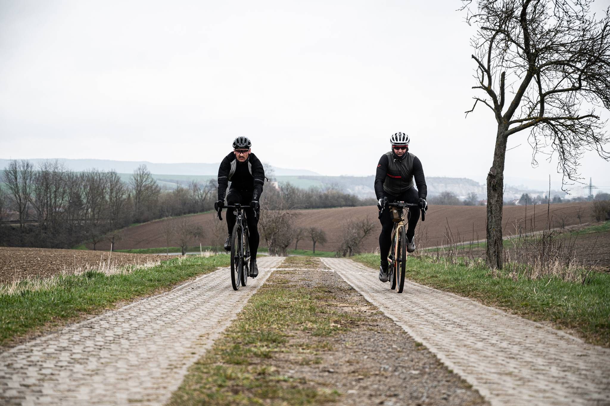
Cycling across Germany – my journey to the southernmost point of Germany
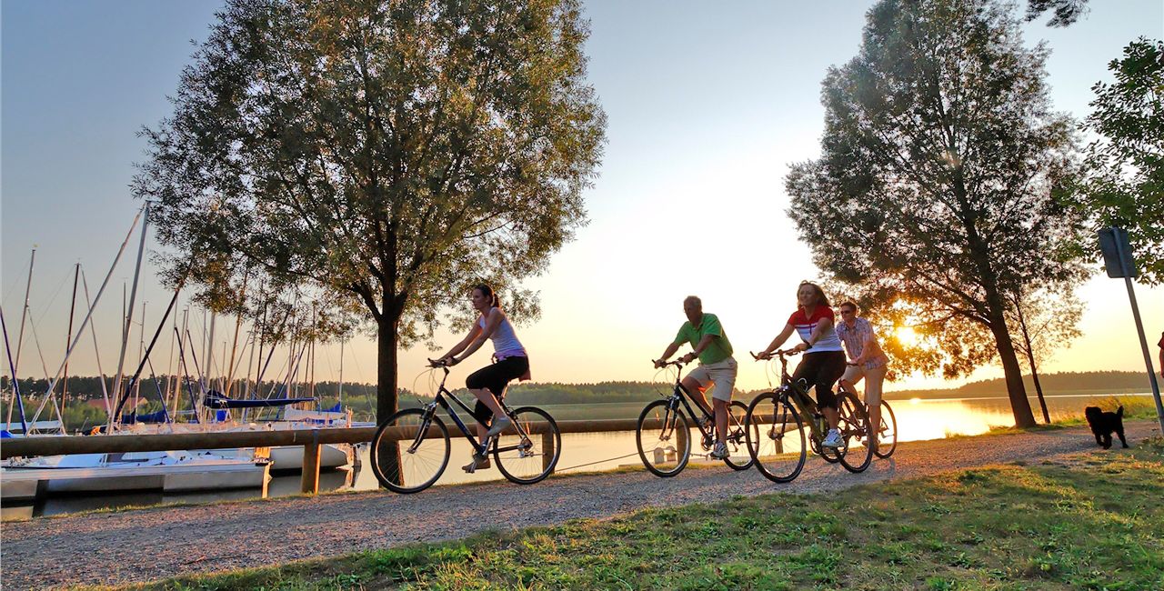
Cycling through Franconia – Germany’s Lake District
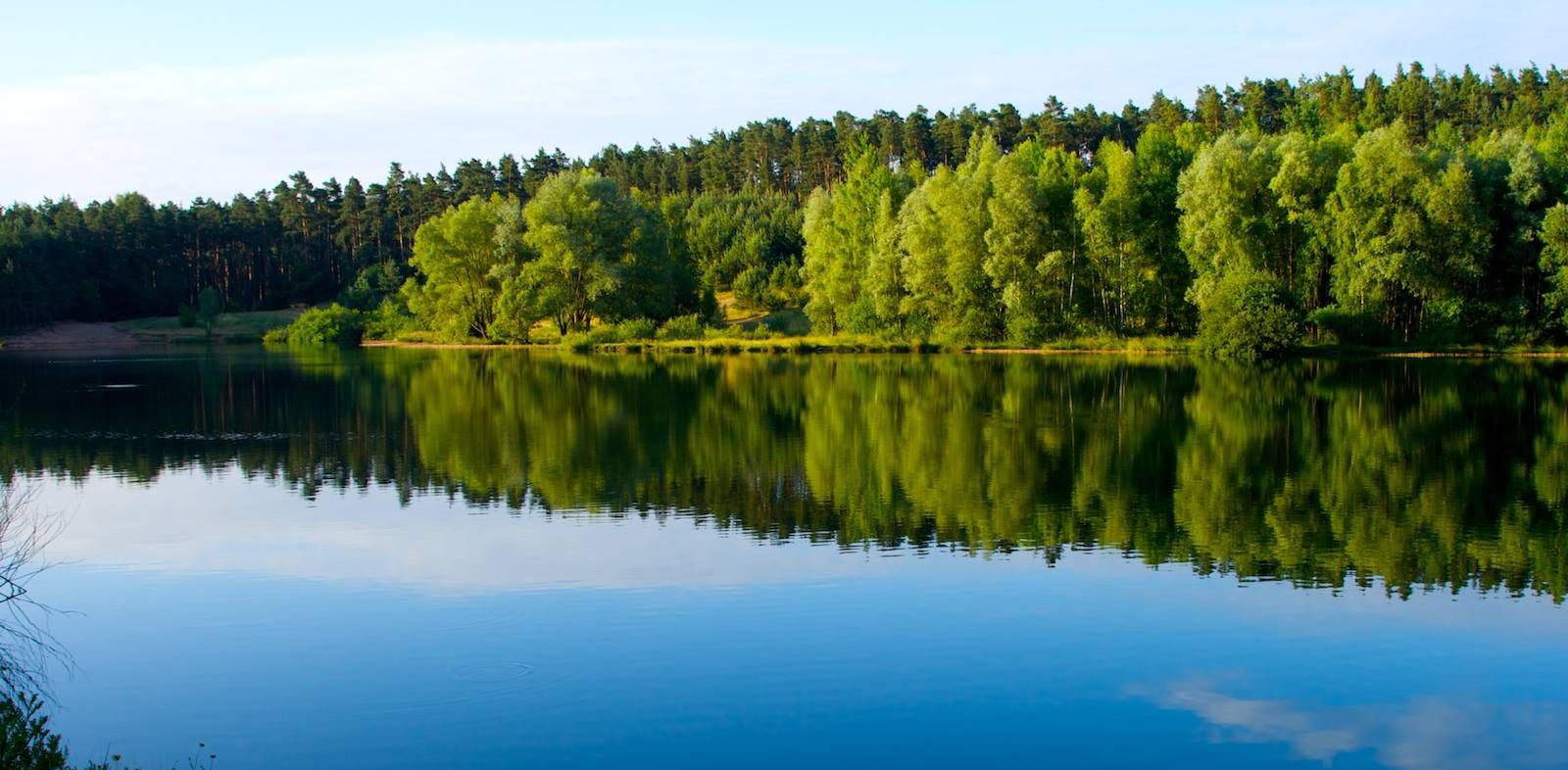
The most beautiful swimming lakes around Nuremberg
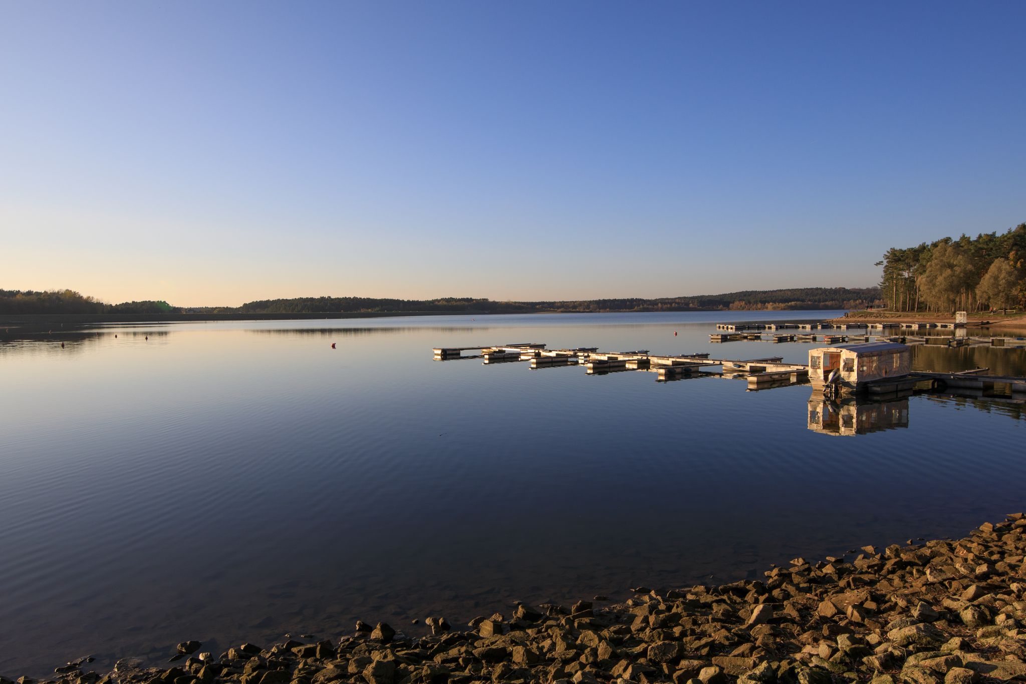
Der Rothsee und seine Region
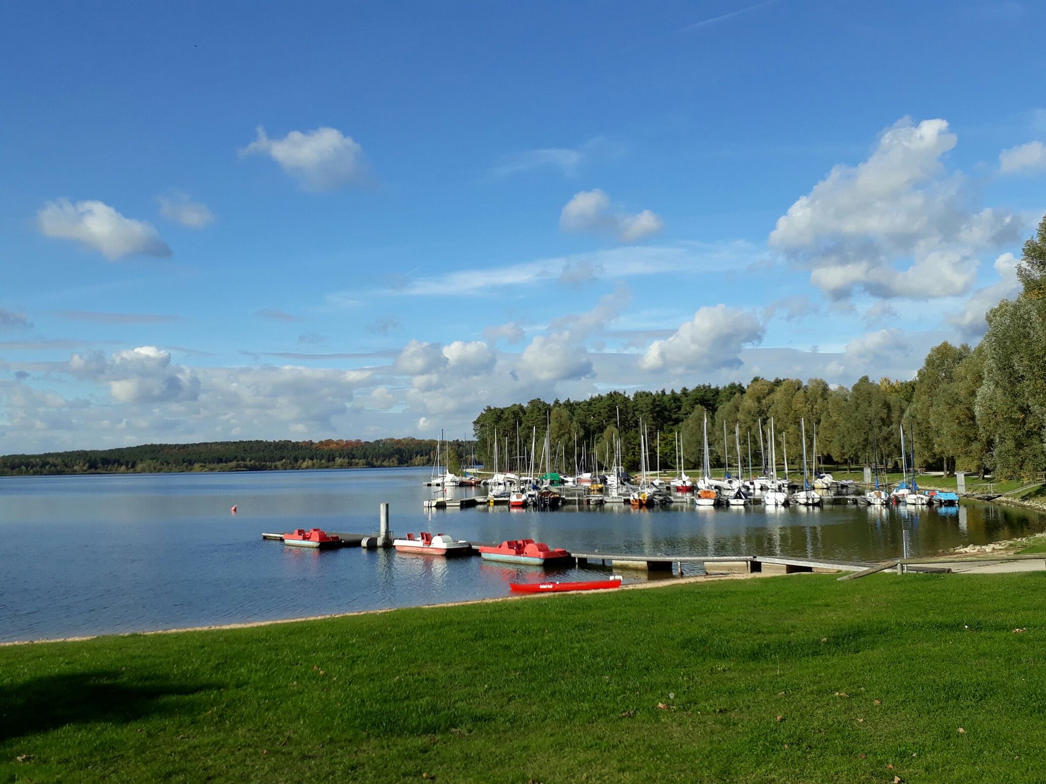
All-Hi-Ro-Weg Mehrtagestour - Entdecke die „3 am Rothsee”
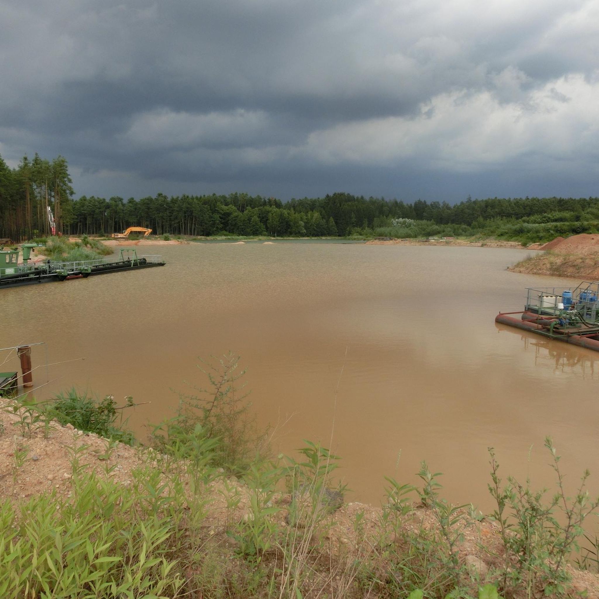
Cycling around Hilpoltstein
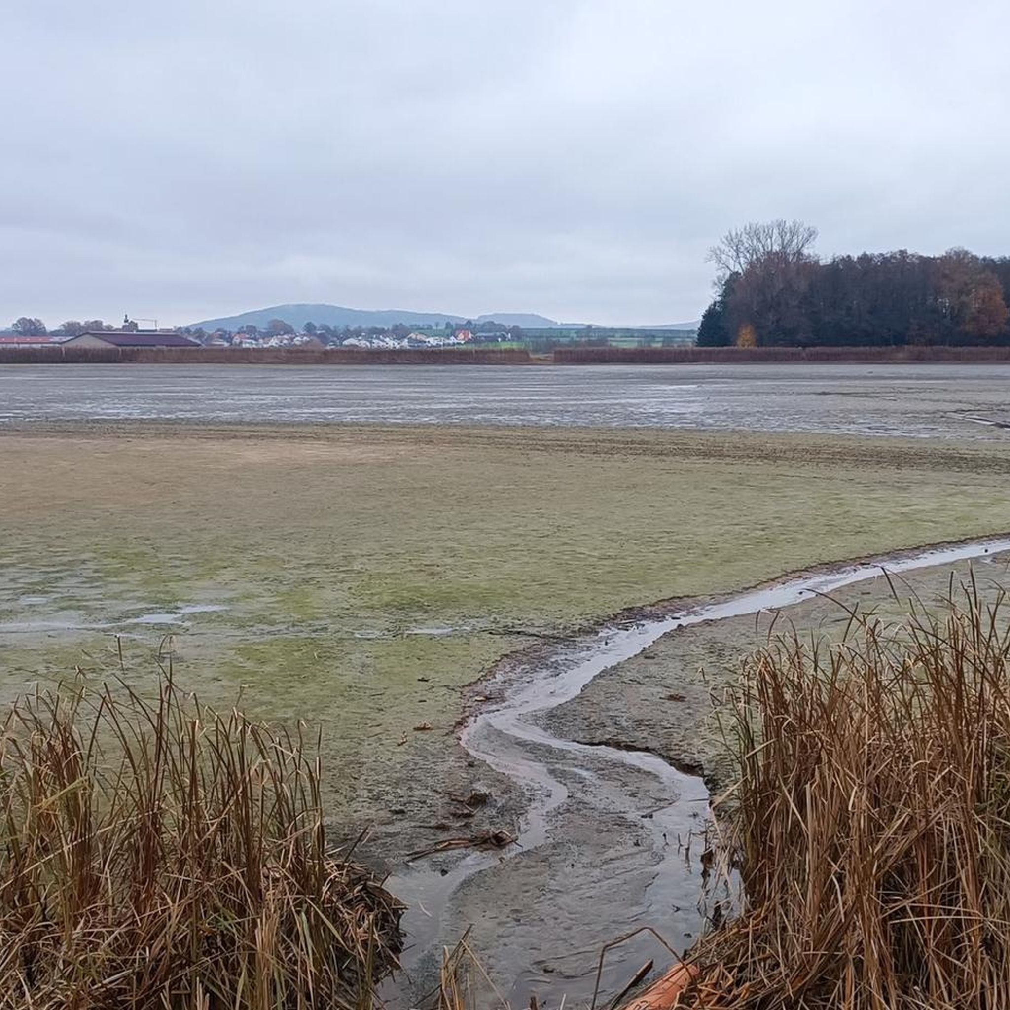
Running Trails around Hilpoltstein
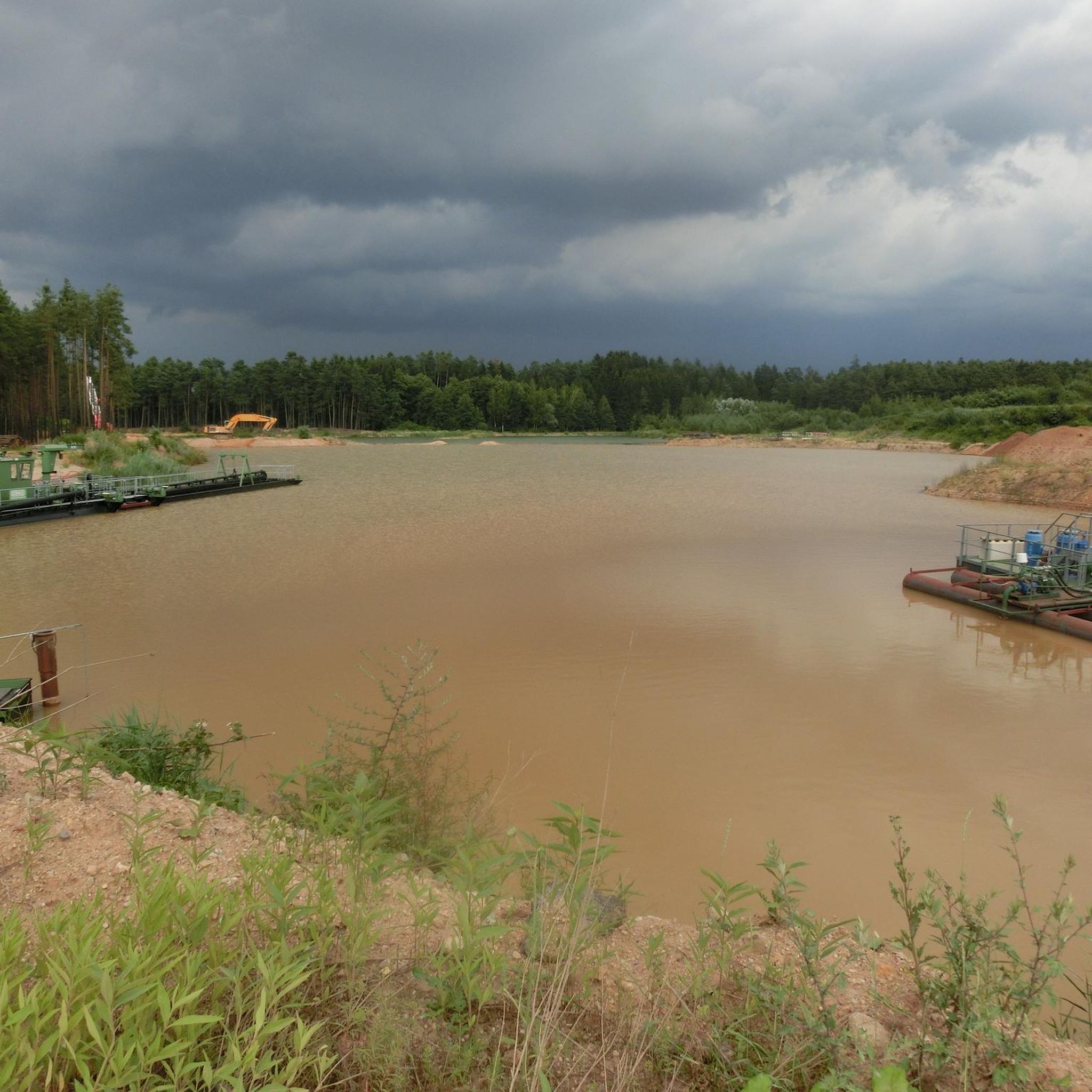
Road Cycling Routes around Hilpoltstein
MTB Trails around Hilpoltstein

Gravel biking around Hilpoltstein
Other adventures around Hilpoltstein


Tips from the Community

I did not find a bench at this location.
0
0

The food is delicious and the service very friendly
0
0
It is fascinating to observe the animals in the spacious area. The young animals were a bit shy at first, but then came very close.
0
0

Nice restaurant with a shady beer garden, friendly service and fair prices.
1
0
Nice single trail to ride, S0, technically without difficulty.
1
0

A very nice restaurant in the forest with its own deer enclosure.
0
0
Very nice rest area on the Roth river 🍺
0
0

Definitely take it with you
0
0
Frequently Asked Questions
How many hiking trails are available around Hilpoltstein?
Hilpoltstein offers a vast network of trails, with over 190 hiking routes to explore. These range from easy strolls to more challenging hikes, ensuring options for all fitness levels.
What kind of terrain can I expect on hikes in Hilpoltstein?
The region around Hilpoltstein is characterized by diverse landscapes within the Franconian Lake District. You'll find paths winding along lake shores, through dense forests, over rolling hills, and past serene waterscapes like the Rothsee and the Main-Danube Canal. Some routes also feature unique geological formations such as the Steinerne Rinne tufa channel.
Are there easy hiking trails suitable for beginners or casual walkers?
Yes, Hilpoltstein has plenty of easy trails. Over 120 routes are classified as easy, making them perfect for beginners or those looking for a relaxed walk. An example is the Rothsee – Rothsee Main Dam loop, an easy 5.4 km path offering views of the main dam.
Are there any circular hiking routes in Hilpoltstein?
Many of the trails around Hilpoltstein are designed as circular routes, allowing you to start and end at the same point. For instance, the Waldsee near Wallesau – Wallersbacher Weiher loop is a moderate 9.1 km circular hike offering scenic views.
What natural attractions or landmarks can I see along the hiking trails?
Hiking trails in Hilpoltstein often lead past significant natural and historical attractions. You can explore the shores of Rothsee, visit the Rothsee South Shore, or discover unique geological features like the Hoher Brunnen Tufa Terrace. The Ruins of Hilpoltstein Castle – Hilpoltstein Town Pond loop also takes you through historic areas.
Are there family-friendly hiking options in Hilpoltstein?
Absolutely. The region offers several family-friendly paths, particularly around the Rothsee, where some sections are even designed to be stroller and wheelchair-friendly. The Seezentrum Heuberg on the Rothsee also provides amenities like an adventure playground, making it a great destination for families.
Are dogs allowed on the hiking trails in Hilpoltstein?
Yes, many trails in Hilpoltstein are dog-friendly. The Rothsee even features a dedicated dog beach, making it a welcoming area for hikers with canine companions. Always ensure your dog is on a leash where required and respect local wildlife.
What is the best time of year to go hiking in Hilpoltstein?
Hilpoltstein is beautiful year-round, but spring and autumn offer particularly pleasant hiking conditions with mild temperatures and vibrant scenery. Summer is ideal for combining hikes with water activities at the Rothsee, while winter can offer serene, snow-covered landscapes for those prepared for colder weather.
Are there any themed hiking trails in the area?
Yes, Hilpoltstein boasts over ten themed hiking trails. These include the fish nature trail, the mill trail, and the panoramic trail, offering unique perspectives and educational insights into the region's nature and history.
What do other hikers say about the trails in Hilpoltstein?
The hiking routes in Hilpoltstein are highly regarded by the komoot community, holding an average rating of 4.5 stars from over 1400 reviews. Hikers often praise the diverse landscapes, well-maintained paths, and the scenic beauty of the Franconian Lake District.
Are there options for longer, more challenging hikes?
While many trails are easy or moderate, Hilpoltstein also offers options for longer, more challenging routes. For example, the Fox Mill Chapel – Bridge Over the Roth loop is a moderate 14.1 km hike that provides a good workout and takes you through varied terrain.
Is public transport available to access hiking trailheads?
Hilpoltstein is generally well-connected within Bavaria. While specific public transport options to every trailhead may vary, the town itself is accessible, and local bus services often connect to key points of interest and trail starting points. It's advisable to check local transport schedules for specific routes.
Where can I find parking near the hiking trails?
Many popular trailheads and attractions, especially around the Rothsee and in Hilpoltstein town, offer designated parking areas. For example, the Nordwestufer der Rothsee-Hauptsperre is a common starting point with parking facilities for routes like the Rothsee loop and the Hilpoltstein Castle trail.
Most popular routes around Hilpoltstein
Most popular attractions around Hilpoltstein

Get inspired with the komoot mobile app


Explore more
Browse the best Hikes in other regions.
