Easy hikes and walks around Regentalaue zwischen Cham und Pösing
4.5
(2750)
11,102
hikers
739
hikes
Easy hiking trails around Regentalaue zwischen Cham und Pösing traverse the largest nature reserve in the Oberpfalz region, characterized by an expansive river valley and floodplain. This low-gradient landscape features wet meadows, numerous ponds, old river arms, and marshy depressions, shaped by the meandering Regen river and regular flooding. Riparian forests of alders and willows are common, contributing to a diverse ecosystem. The area's wide valley floor is a result of sediment deposits from the ice ages.
Best easy hiking…
Last updated: July 28, 2026
4.6
(21)
111
hikers
6.88km
01:45
10m
10m
Easy hike. Great for any fitness level. Easily-accessible paths. Suitable for all skill levels.
4.5
(46)
138
hikers
5.40km
01:23
20m
20m
Easy hike. Great for any fitness level. Easily-accessible paths. Suitable for all skill levels.

Sign up for free
4.7
(18)
48
hikers
Easy hike. Great for any fitness level. Easily-accessible paths. Suitable for all skill levels.
4.7
(15)
40
hikers
Easy hike. Great for any fitness level. Easily-accessible paths. Suitable for all skill levels.
4.4
(11)
43
hikers
6.55km
01:42
30m
30m
Easy hike. Great for any fitness level. Easily-accessible paths. Suitable for all skill levels.
Get access to more routes and recommendations from other explorers.
Sign up for free
Already have an account?
Our route recommendations are based on thousands of hikes, rides, and runs completed by other people on komoot.
Start today with a free account
Your next adventure awaits.
Login or Signup
Popular around Regentalaue zwischen Cham und Pösing
Other adventures around Regentalaue zwischen Cham und Pösing

Tips from the Community

amazing view over the rain to the storks
0
0
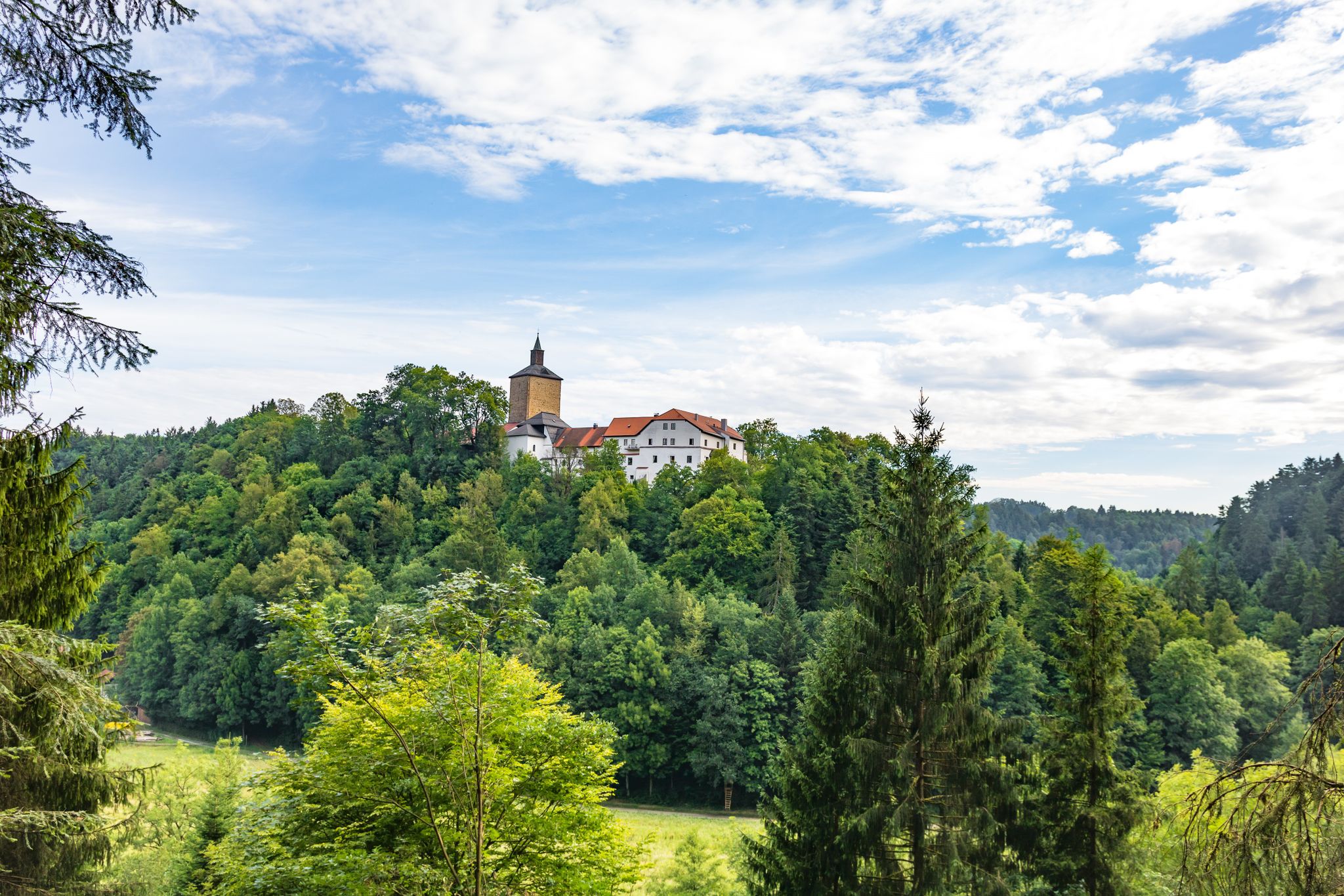
View across the rain to the tower with the stork's nest
0
0
countless castles already hang there
0
0
recently there is also an ice cream parlor
0
0
The church on the market square is of Romanesque origin. Its foundations in massive rubble masonry and also the substructures of the towers date back to the 13th century. The northern tower was not completed, but connected to the town hall. The recessed choir was built between 1394 and 1411. The Gothic, twice-stepped buttresses have been preserved. The nave originally had six bays. In 1894/95 it was extended by two bays to the west. The three doors were created around 1700. On the south side of the choir, a life-size painting by the local painter Georg Achtelstetter depicts the church patron James the Elder.
0
0

Blue bridge with many locks from "Liebenfen", water management with beer garden right next to it
0
0

A lovely spot for a short or even a longer break. The tree provides cooling shade when needed.
2
0
Frequently Asked Questions
How many easy hiking trails are available in Regentalaue zwischen Cham und Pösing?
There are over 490 easy hiking routes available in Regentalaue zwischen Cham und Pösing, offering a wide range of options for exploring this unique nature reserve.
What makes the Regentalaue zwischen Cham und Pösing a unique hiking destination?
The Regentalaue is the largest nature reserve in the Oberpfalz region, characterized by its expansive river valley and floodplain. The area's low gradient and regular flooding create a dynamic 'breathing' landscape with wet meadows, numerous ponds, old river arms, and riparian forests. It's a biodiversity hotspot, especially known for its spectacular birdlife and diverse habitats.
What is the best time of year to hike in Regentalaue zwischen Cham und Pösing?
The Regentalaue is beautiful year-round, but spring and autumn are particularly rewarding. Spring offers vibrant flora and the return of many migratory birds, while autumn showcases stunning colors and is a peak time for bird migration. During these periods, you can witness tens of thousands of starlings and swallows utilizing the area.
Are there options for parking near the easy hiking trails?
Yes, various parking areas are available near trailheads throughout the Regentalaue zwischen Cham und Pösing. Specific parking information can often be found on individual route pages or local signage.
Can I reach the hiking trails in Regentalaue zwischen Cham und Pösing by public transport?
Yes, the Regentalaue is accessible by public transport. You can use bus and train services to reach towns like Cham, which serve as good starting points for exploring the area. From there, local buses or short walks can connect you to various trailheads.
Are there places to eat or drink near the hiking trails?
While the nature reserve itself is primarily natural, you'll find cafes, restaurants, and traditional Gasthäuser in nearby towns such as Cham and Untertraubenbach. These offer opportunities for refreshments before or after your hike.
Are there any circular easy hiking routes in the area?
Yes, many easy circular routes are available. For example, the Laichstätt – Rötelseeweiher Nature Reserve loop from Michelsdorf is an easy 4.3-mile (6.9 km) path offering views of the Rötelseeweiher Nature Reserve. Another option is the Rötelseeweiher Nature Reserve – Großer Rötelseeweiher loop from Regentalaue zwischen Cham und Pösing, a shorter 3.1-mile (5 km) trail.
What kind of wildlife can I expect to see while hiking?
The Regentalaue is a haven for wildlife, especially birds. It's an internationally recognized area for its spectacular birdlife, including critically endangered species like the Black-necked Grebe, Eurasian Curlew, and Black-tailed Godwit. You might also spot various amphibians, insects, and diverse plant species. Bringing binoculars is highly recommended for birdwatching.
Are there any observation points or scenic viewpoints along the trails?
Yes, a notable viewpoint is the Untertraubenbach Observation Tower. This 15-meter-high tower provides panoramic views over the expansive floodplain landscape, allowing you to appreciate the scale and beauty of the Regentalaue. There are also educational trails with information boards and bird observation stations, particularly around the Rötelseeweiher area.
Are the easy hiking trails suitable for families with children?
Absolutely. The Regentalaue offers many paths suitable for various fitness levels, and some sections are even stroller-friendly. The educational trails and opportunities for birdwatching make it an engaging experience for children. An example is the Cross tree with bench for resting – Rötelseeweiher Nature Reserve loop from Michelsdorf, which is a gentle 2.5-mile (4.1 km) walk.
Can I bring my dog on the easy hiking trails?
Dogs are generally welcome on the trails, but it's crucial to keep them on a leash, especially within the nature reserve. This protects the sensitive wildlife, particularly ground-nesting birds and other animals in their natural habitat. Always follow local signage and regulations.
Are there any wheelchair-accessible sections on the easy hiking trails?
Yes, certain sections of the trails in Regentalaue zwischen Cham und Pösing are designed to be wheelchair-accessible, allowing a wider range of visitors to enjoy the natural beauty of the area. Look for specific route descriptions that mention accessibility features.
What interesting landmarks can I see near the easy hiking trails?
Beyond the natural beauty, you can explore nearby historical landmarks. The Biertor, Cham (Cham's Beer Gate) is a notable historical structure. The Cham Market Square – Biertor, Cham loop from Cham is an easy 4.1-mile (6.6 km) route that takes you past this landmark.
What do other hikers enjoy most about hiking in Regentalaue zwischen Cham und Pösing?
The area is highly rated by the komoot community, with an average score of 4.5 stars from over 2,400 reviews. Hikers often praise the peaceful atmosphere, the diverse birdlife, and the well-maintained, easy-to-navigate paths that offer a relaxing experience amidst stunning natural scenery.
Most popular routes around Regentalaue zwischen Cham und Pösing
Most popular attractions around Regentalaue zwischen Cham und Pösing

Get inspired with the komoot mobile app


Explore more
Browse the best Hikes in other regions.
