The best road cycling routes around Regentalaue zwischen Cham und Pösing
4.5
(252)
3,332
riders
289
rides
Road cycling routes around Regentalaue zwischen Cham und Pösing traverse a large river valley and floodplain shaped by the Regen river, characterized by high groundwater levels and wetlands. The landscape features a mosaic of ponds, oxbow lakes, and riparian forests, supporting diverse ecosystems. The area offers well-maintained, paved paths, including sections of the Regental-Radweg, utilizing disused railway lines and quiet side roads. While generally flat, some routes include significant elevation gain, providing varied terrain for road cyclists.
Best road cycling…
Last updated: July 23, 2026
4.7
(35)
268
riders
51.1km
02:17
250m
250m
Moderate road ride. Good fitness required. Some segments of this route may be unpaved and difficult to ride.
4.8
(12)
104
riders
38.4km
01:46
180m
180m
Easy road ride. Great for any fitness level. Mostly well-paved surfaces and easy to ride.

Sign up for free
5.0
(3)
82
riders
Hard road ride. Very good fitness required. Some segments of this route may be unpaved and difficult to ride.
3.8
(4)
57
riders
56.5km
02:49
720m
720m
Moderate road ride. Good fitness required. Mostly well-paved surfaces and easy to ride.
5.0
(4)
27
riders
24.9km
01:12
160m
160m
Easy road ride. Great for any fitness level. Mostly well-paved surfaces and easy to ride.
Get access to more routes and recommendations from other explorers.
Sign up for free
Already have an account?
Our route recommendations are based on thousands of hikes, rides, and runs completed by other people on komoot.
Start today with a free account
Your next adventure awaits.
Login or Signup
Popular around Regentalaue zwischen Cham und Pösing
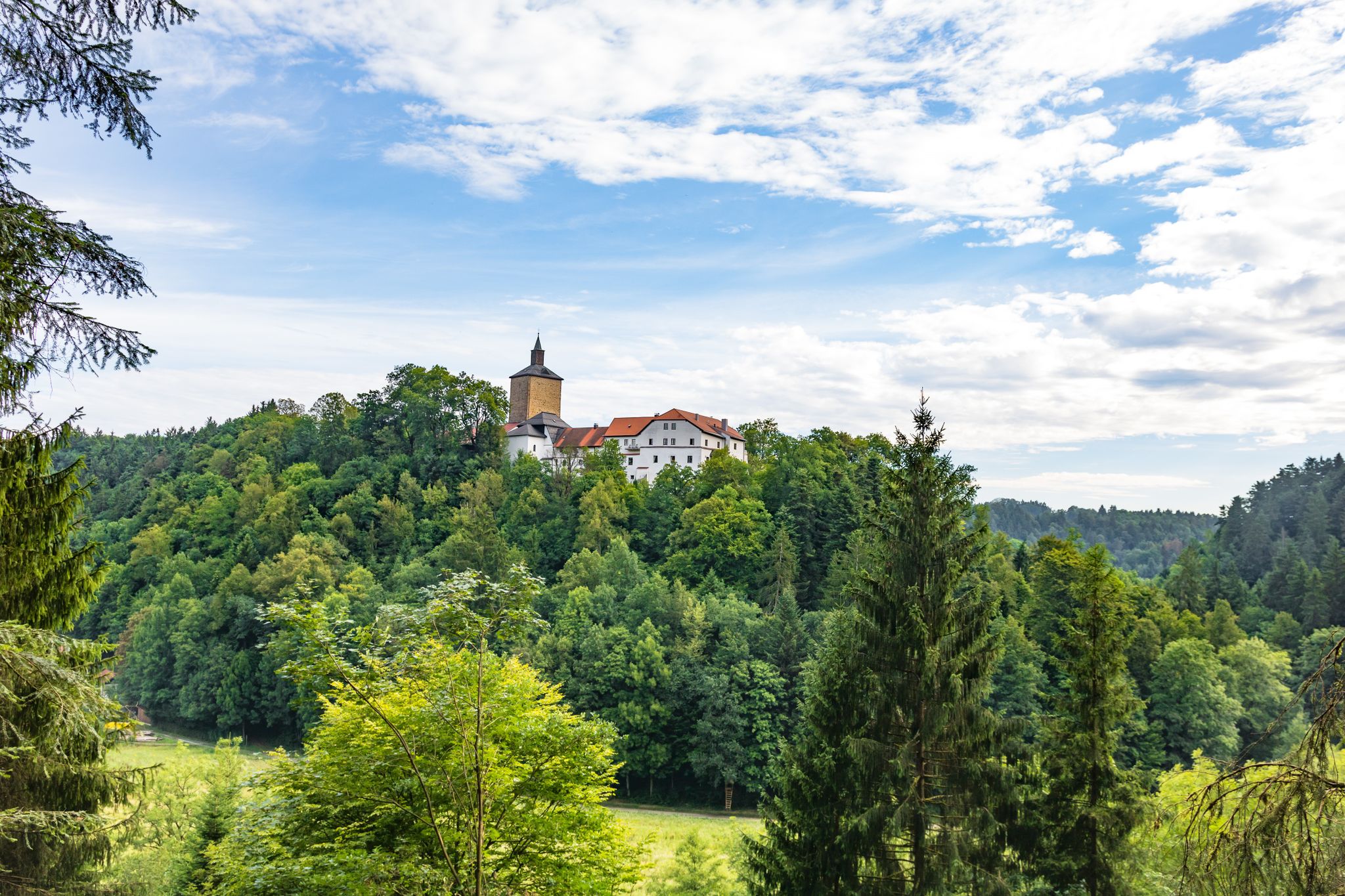
Hiking through history on Germany’s Pandurensteig
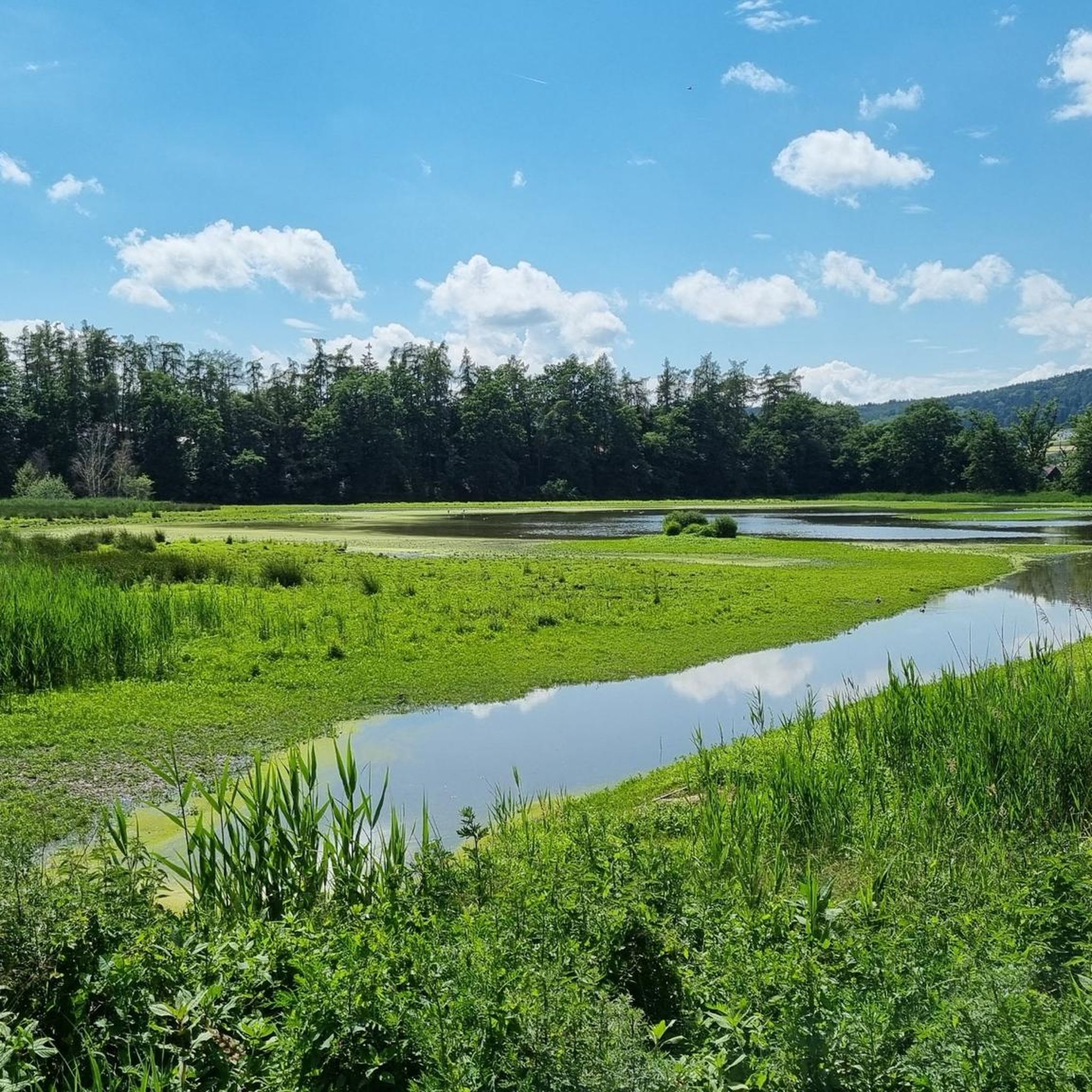
Cycling around Regentalaue zwischen Cham und Pösing
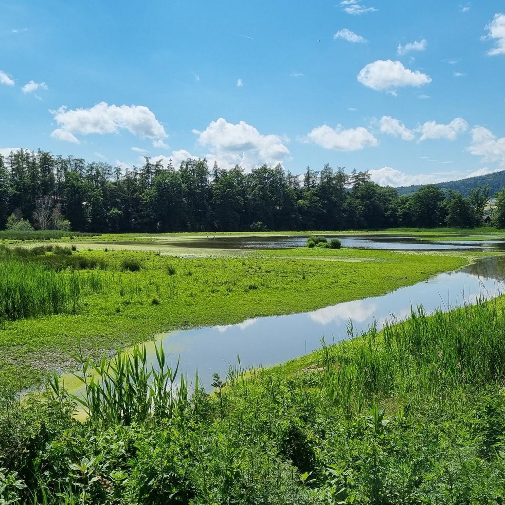
MTB Trails around Regentalaue zwischen Cham und Pösing
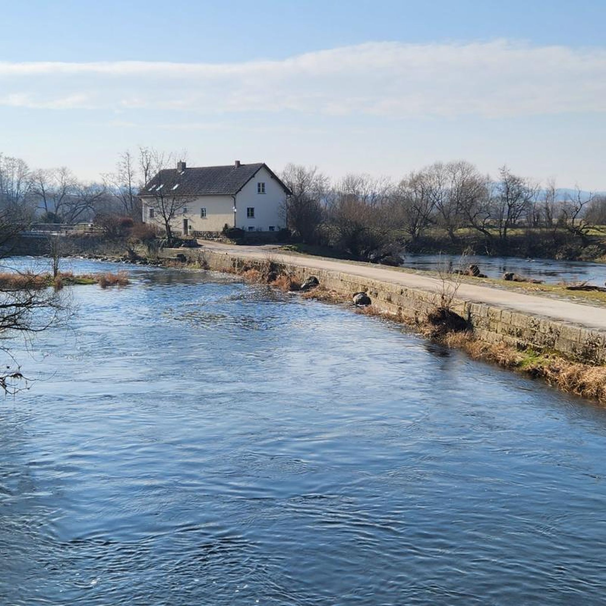
Running Trails around Regentalaue zwischen Cham und Pösing
Hiking around Regentalaue zwischen Cham und Pösing

Gravel biking around Regentalaue zwischen Cham und Pösing
Other adventures around Regentalaue zwischen Cham und Pösing

Tips from the Community

beautiful cycle path along the Regen with wonderful views of the water
0
0
beautiful, almost car-free market square. The fountain has something in it. Those who don't know might get wet
0
0
The bike path is gladly used by me. Away from the road ....
0
0

It's beautiful here.
0
0
Here you can relax in nature or do something.
0
0
The lower reaches of the Regen with its floodplains, rocks in the water, and surrounding forests are particularly beautiful and laid-back in sunny weather. Hopefully, it stays that way!
0
0
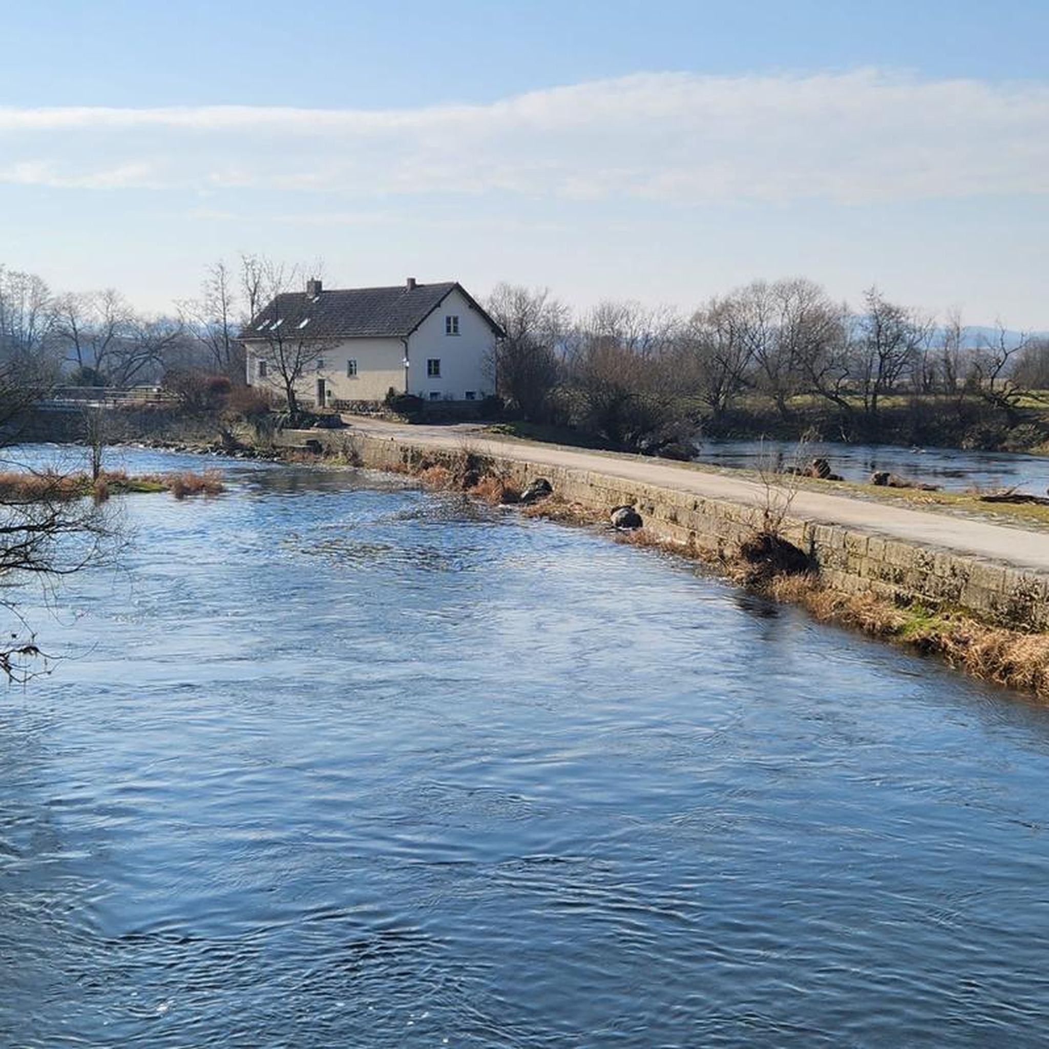
View over the rain to an impressive property
0
0
Frequently Asked Questions
How many road cycling routes are available in Regentalaue zwischen Cham und Pösing?
There are over 290 road cycling routes in the Regentalaue zwischen Cham und Pösing region, offering a wide variety of options for different skill levels and preferences. You'll find everything from easy, flat rides to more challenging routes with significant elevation gain.
What is the best time of year for road cycling in the Regen valley?
The Regentalaue region is ideal for road cycling during spring, summer, and autumn. The area experiences frequent natural flooding from snowmelt and prolonged rain, which shapes the environment. While beautiful, this means checking local weather and water levels is advisable, especially in early spring or after heavy rainfall, to ensure optimal riding conditions.
Are the road cycling routes in Regentalaue zwischen Cham und Pösing generally paved?
Yes, the Regentalaue region is known for its well-maintained, paved paths, making it excellent for road cycling. Many routes utilize sections of the well-known Regental-Radweg, disused railway lines, and quiet side roads, all offering smooth surfaces.
Are there family-friendly road cycling routes in the Regentalaue region?
Absolutely. The Regentalaue offers numerous easy tours suitable for all fitness levels, including families. These routes often feature gentle terrain along the river valley, providing a pleasant experience for cyclists of all ages. For example, routes like the "Satzdorfer See Runde von Cham" are known to be accessible and enjoyable for families.
What kind of terrain can I expect on road cycling routes in this area?
The terrain in Regentalaue zwischen Cham und Pösing is diverse. You'll find many routes traversing the expansive river valley and floodplain, characterized by flat, paved paths. However, some routes also include significant elevation gain, offering more challenging climbs for experienced cyclists, such as the Cham – Eck Pass (843 m) Ascent loop from Cham (Oberpf).
What are some notable natural attractions or viewpoints along the cycling routes?
The Regentalaue is a biodiversity hotspot with a mosaic of ponds, wet meadows, and oxbow lakes. For panoramic views of the floodplain landscape and its wildlife, you can visit the Untertraubenbach Observation Tower. The Rötelseeweiher Nature Reserve is another significant natural feature, known for its rich birdlife and wetlands.
Are there any historical landmarks to see while road cycling?
Yes, the nearby town of Cham offers historical charm. The Biertor in Cham, the sole surviving city gate, is a notable historical attraction that you can easily incorporate into your cycling tour.
What do other road cyclists say about the routes in Regentalaue zwischen Cham und Pösing?
The road cycling routes in Regentalaue zwischen Cham und Pösing are highly rated by the komoot community, with an average score of 4.5 stars from over 190 reviews. Cyclists often praise the well-maintained paths, the beautiful riverine scenery, and the diverse options available for different skill levels.
Are there any circular road cycling routes available?
Yes, many routes in the region are designed as loops, allowing you to start and end in the same location. An example of a popular circular route is the Cham Market Square – Café Waffel Miltach loop from Cham (Oberpf), which takes you through the scenic river valley.
Can I access the road cycling trails using public transport?
While the guide focuses on the routes themselves, the town of Cham, a common starting point for many tours, is generally well-connected by public transport. It's advisable to check local public transport schedules and bike carriage policies for the most up-to-date information on accessing the region with your bike.
Where can I find parking for road cycling routes in Regentalaue zwischen Cham und Pösing?
Many road cycling routes in the Regentalaue region start from towns like Cham, where public parking facilities are available. Specific parking information for individual routes can often be found on their respective komoot tour pages, or by checking local municipality websites for designated cyclist parking areas.
What is a challenging road cycling route in the area?
For experienced road cyclists seeking a challenge, the Reichenbach Monastery on the Regen – The Regen River at Marienthal loop from Cham (Oberpf) is a difficult 79.9-mile (128.7 km) path that follows the Regen river through its expansive valley, offering significant distance and elevation.
Most popular routes around Regentalaue zwischen Cham und Pösing
Most popular attractions around Regentalaue zwischen Cham und Pösing

Get inspired with the komoot mobile app


Explore more
Browse the best Road cycling routes in other regions.
