Easy hikes and walks in the Altmühltal
4.5
(47596)
193,637
hikers
8,686
hikes
Easy hiking trails in the Altmühltal traverse a diverse low mountain range landscape, characterized by gently undulating tablelands and valleys carved by the meandering Altmühl River. The region features sun-kissed juniper heaths, dry grassland slopes, and impressive limestone cliffs and rock formations. This varied topography offers accessible paths suitable for easy hiking.
Best easy hiking trails in the Altmühltal
- The most popular easy hiking route is Morsbachtalweg (Morsbach Valley Trail) No. 10 – Altmühltal Nature Park, a 4.3 miles…
Last updated: August 13, 2026
4.5
(93)
296
hikers
6.96km
01:55
120m
120m
Easy hike. Great for any fitness level. Easily-accessible paths. Suitable for all skill levels.
4.7
(33)
136
hikers
Easy hike. Great for any fitness level. Easily-accessible paths. Suitable for all skill levels.

Sign up for free
3.4
(5)
11
hikers
5.73km
01:32
70m
70m
Easy hike. Great for any fitness level. Easily-accessible paths. Suitable for all skill levels.
5.0
(1)
5
hikers
2.00km
01:00
20m
20m
Easy hike. Great for any fitness level. Easily-accessible paths. Suitable for all skill levels.
1
hikers
2.25km
00:50
70m
70m
Easy hike. Great for any fitness level. Easily-accessible paths. Suitable for all skill levels.
Easy hike. Great for any fitness level. Easily-accessible paths. Suitable for all skill levels.
4.6
(151)
437
hikers
Easy hike. Great for any fitness level. Easily-accessible paths. Suitable for all skill levels.
4.7
(57)
185
hikers
4.22km
01:08
50m
50m
Easy hike. Great for any fitness level. Easily-accessible paths. Suitable for all skill levels.
4.7
(69)
185
hikers
Easy hike. Great for any fitness level. Easily-accessible paths. Suitable for all skill levels.
4.8
(35)
91
hikers
Easy hike. Great for any fitness level. Easily-accessible paths. Suitable for all skill levels.
Get access to more routes and recommendations from other explorers.
Sign up for free
Already have an account?
Our route recommendations are based on thousands of hikes, rides, and runs completed by other people on komoot.
Start today with a free account
Your next adventure awaits.
Login or Signup
Popular around Altmühltal
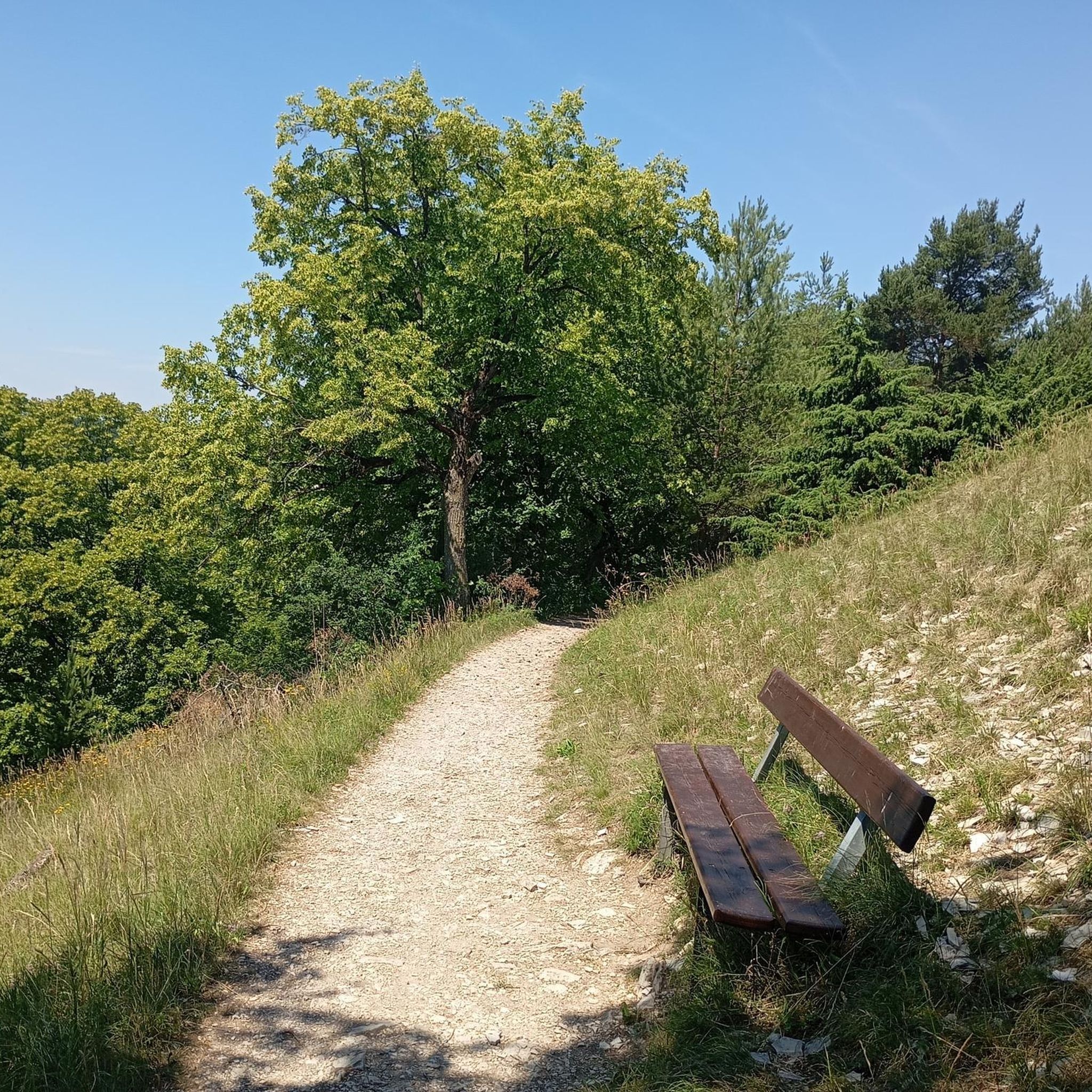
Easy hikes in Naturpark Altmühltal
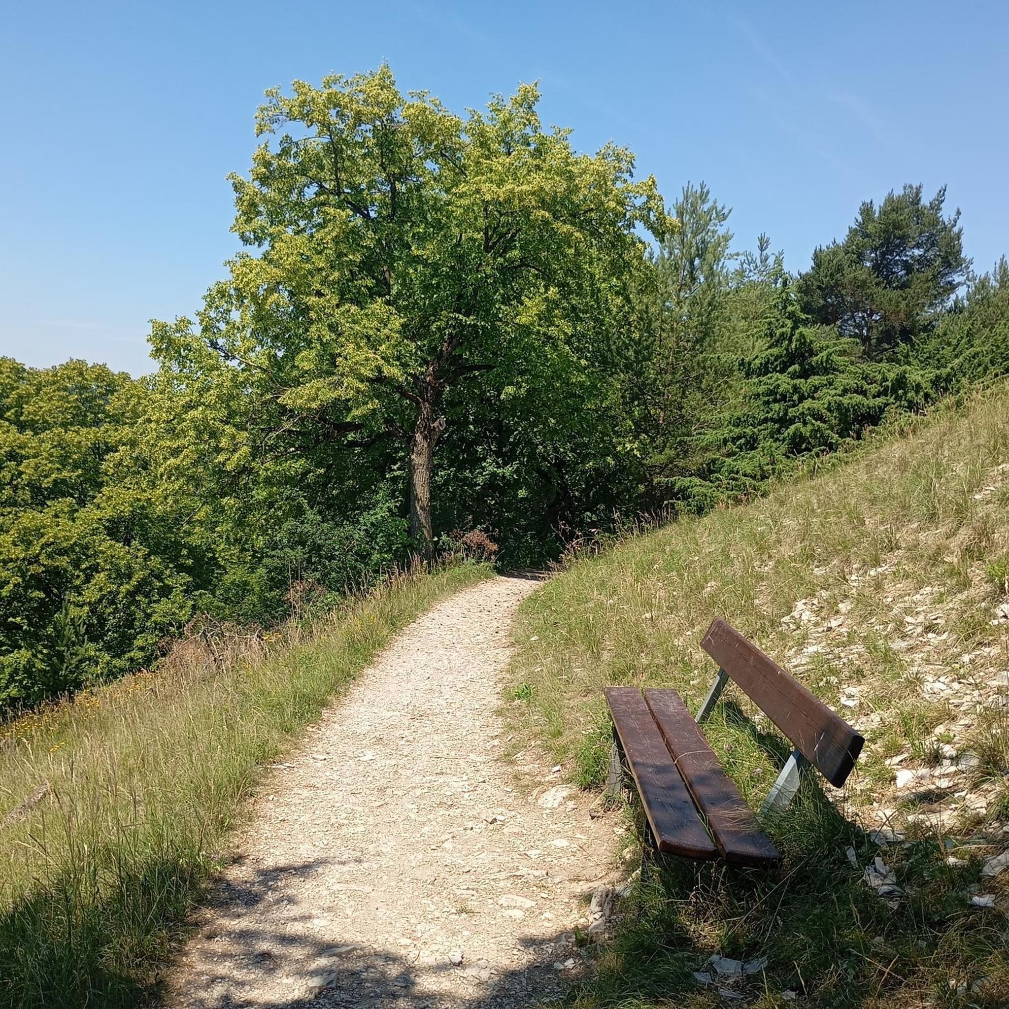
Easy hikes in Landkreis Eichstätt
Easy hikes in Danube-Ries

Easy hikes in Landkreis Weißenburg-Gunzenhausen
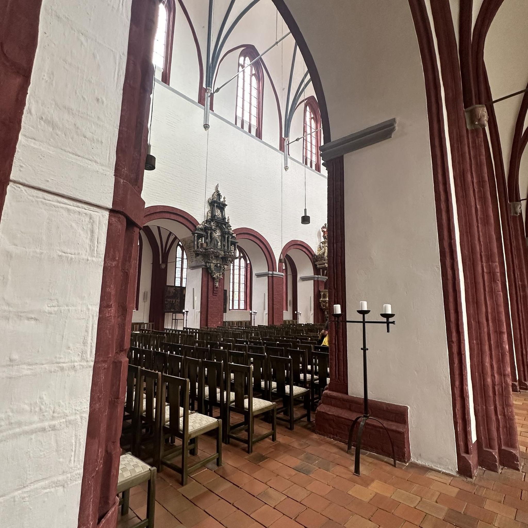
Easy hikes around Ingolstadt

Augsburger Jakobsweg – Through Bavarian-Swabia

The Romantic Road – To the Pearls of Southern Germany
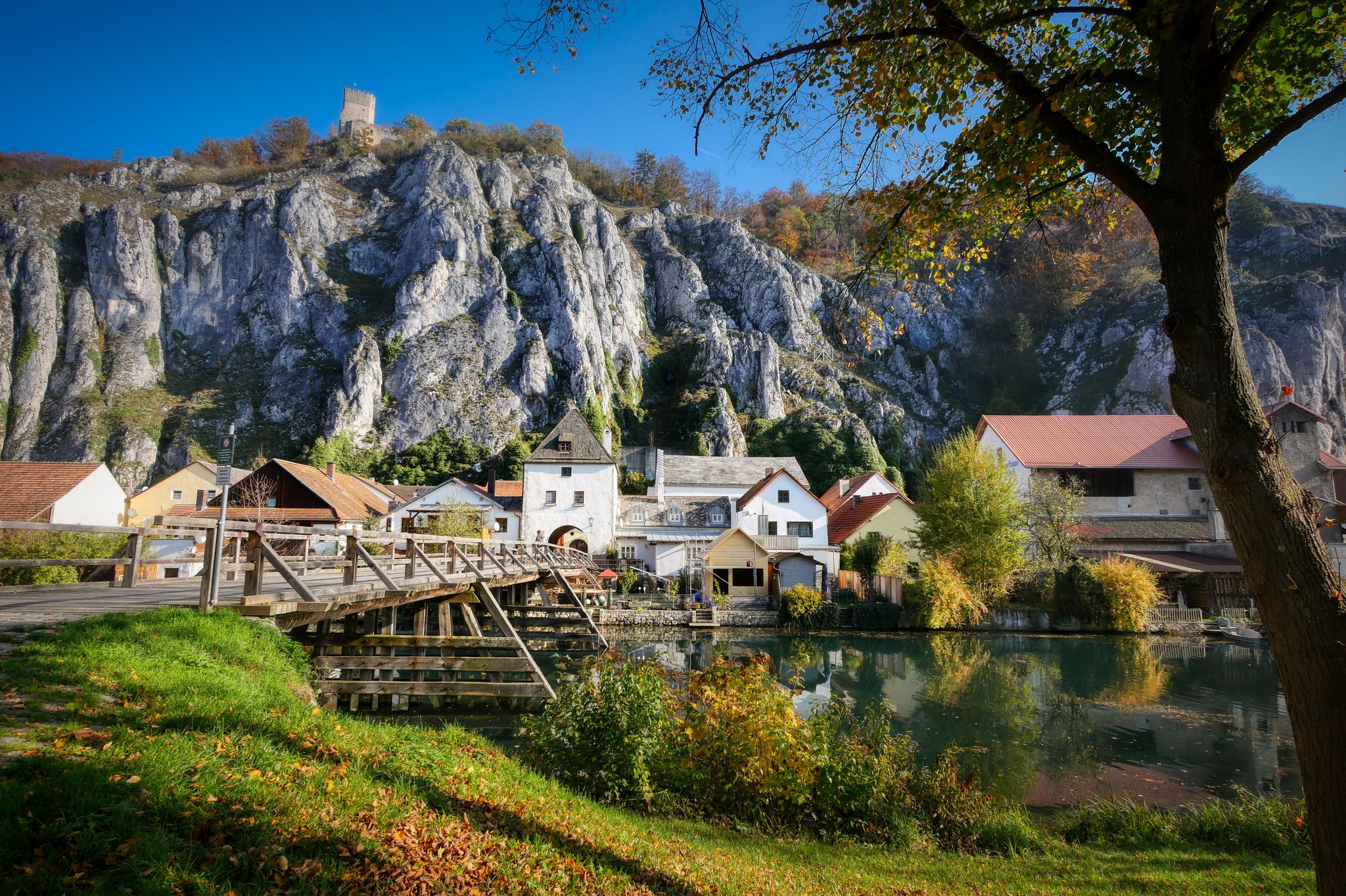
Jurasteig — hiking in the heart of Bavaria
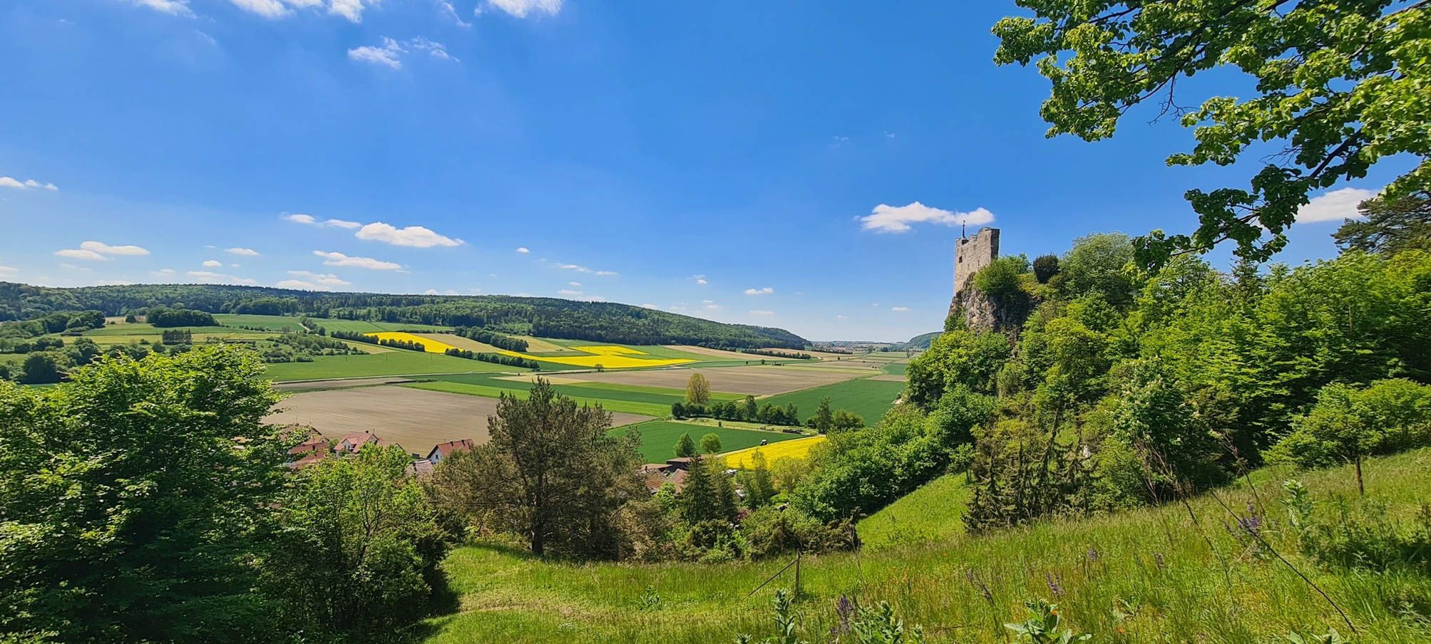
Urdonautalsteig – Hiking through past times
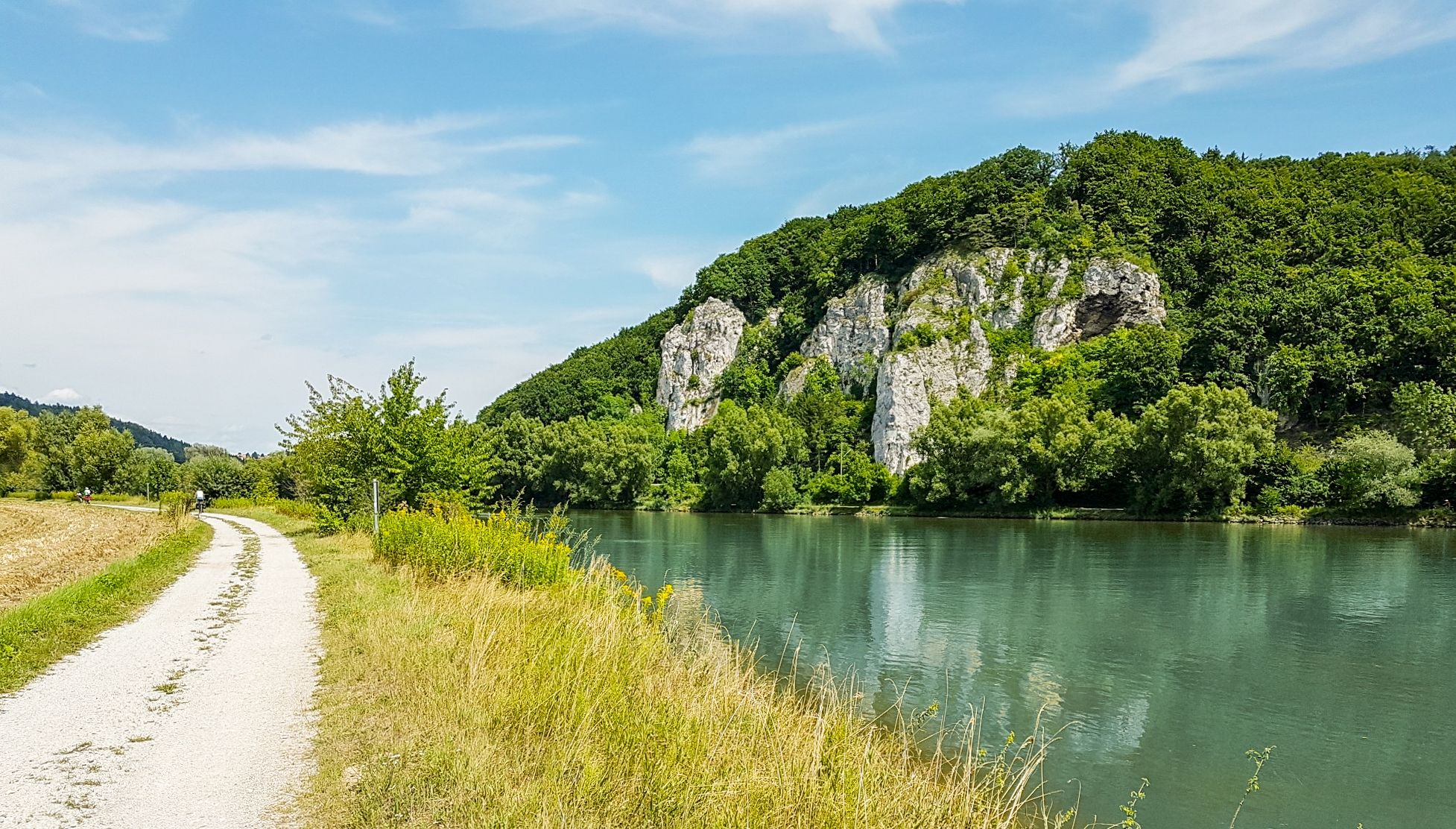
Donau-Panoramaweg – 10 days nature views and cultural insights
Other adventures in the Altmühltal


Tips from the Community

The Mangoldstein is a striking rock on the Kalvarienberg and is reminiscent of the former Wörth castle, which once stood here. It was named after Count Mangold von Wörth, who is closely associated with the early history of Donauwörth.
4
0
Particularly impressive are the magnificent monastery church, the historic monastery buildings, and the quiet location above the city. The baroque monastery complex originated from a medieval pilgrimage site.
5
0

A nice little town. 30.+31.5.2026 is Fuchsia and Herb market.
1
0

The stream winds beautifully through the village here
0
0

As Jack Hasenbier already writes, rather a downhill trail;
0
0

The local history museum in Donauwörth is located in one of the oldest parts of the town. It is housed in the red house on Ried Island. The Härpfer family, who have been connected to the town's fishing history since 1434, once lived here. The museum displays religious folk art, crafts, and offers deep insights into the town's cultural history.
1
0
Since the 1990s, Klappi the stork and his family have been breeding and overwintering on the roof of the Holy Cross Monastery. The monastery church contains the tomb of Maria of Brabant, who was beheaded in 1256 on the orders of her husband, Duke Louis the Strict. A special relic can also be found in the crypt chapel: fragments of the True Cross.
1
0
A lovely little pond not far from the school. Perfect for pausing and briefly forgetting about everyday life.
0
0
Frequently Asked Questions
How many easy hiking trails are available in the Altmühltal?
The Altmühltal Nature Park offers a vast network of trails, with over 4,700 easy hiking routes available on komoot. This extensive selection ensures there are plenty of options for relaxed walks through the region's diverse landscapes.
What kind of terrain can I expect on easy hikes in the Altmühltal?
Easy hikes in the Altmühltal feature a varied low mountain range landscape. You'll find gently undulating tablelands, sloping hillsides, and valleys carved by the meandering Altmühl River. The region is characterized by sun-kissed juniper heaths, dry grassland slopes, and impressive limestone cliffs and rock formations, offering accessible paths with manageable elevation changes.
Are there any family-friendly easy hikes in the Altmühltal?
Yes, many easy trails in the Altmühltal are suitable for families. For example, the Wohlfühlpfad Altmühlleiten (Altmühlleiten Wellness Trail) – Altmühltal Nature Park is a pleasant 1.9-mile path, perfect for a shorter walk. Another great option is the Skulpturenweg 2 (Sculpture Trail 2) – Altmühltal Nature Park, which combines natural beauty with artistic installations, making it engaging for all ages.
Can I bring my dog on easy hiking trails in the Altmühltal?
The Altmühltal is generally dog-friendly, with many trails welcoming well-behaved dogs on a leash. The diverse landscapes, from riverbanks to juniper heaths, provide an enjoyable experience for pets. Always check local signage for any specific restrictions, especially in nature reserve areas.
What natural landmarks or viewpoints can I see on easy hikes?
The Altmühltal is rich in natural beauty. You can discover impressive limestone cliffs and rock formations, such as the iconic 'Twelve Apostles' rock formation near Solnhofen, or the unique Burgsteinfelsen near Dollnstein. Many trails also offer scenic viewpoints overlooking the meandering Altmühl River and the surrounding valleys.
Are there any circular easy hikes in the Altmühltal?
Yes, the Altmühltal offers numerous circular easy hikes. A popular choice is the Arnsberg Castle Ruins loop from Landkreis Eichstätt, which provides historical sights along a manageable route. Another option is the Beehive Rock Formation – Long wall gravel bank loop from Kelheim, offering unique natural formations.
What historical sites or attractions can be found along easy trails?
Many easy trails in the Altmühltal pass by or lead to historical sites. You can explore ancient castles like Prunn Castle or the Arnsberg Castle ruins. The region also features sections of the Roman Limes, a UNESCO World Heritage Site, and charming historic towns such as Eichstätt with its Baroque architecture.
What do other hikers enjoy most about easy hikes in the Altmühltal?
The Altmühltal is highly rated by the komoot community, with an average score of 4.6 stars from over 41,000 reviews. Reviewers often praise the region's diverse and picturesque landscapes, the well-maintained trails suitable for all levels, and the combination of natural beauty with rich historical and cultural sites.
Are there any easy hikes that feature unique structures or bridges?
Yes, some easy hikes incorporate unique man-made features. For instance, the Tatzlwurm Wooden Footbridge – View of Randeck Castle loop from Hacklberg includes the impressive Tatzlbrücke, a 193-meter long wooden pedestrian bridge, offering a distinctive point of interest along your walk.
What is the best time of year for easy hikes in the Altmühltal?
The Altmühltal is beautiful year-round, but spring and autumn are particularly pleasant for easy hikes. In spring, the juniper heaths and grasslands burst with life, while autumn offers stunning foliage colors. Summer is also great, though it can be warmer, making trails along the Altmühl River especially refreshing.
Are there any easy hikes that pass by interesting rock formations?
Absolutely. The Altmühltal is famous for its Jurassic limestone formations. You can explore routes like the Rock Arch Unteremmendorf – Torfelsen Stone Arch loop from Unteremmendorf, which features impressive natural rock arches and formations, showcasing the region's geological history.
Are there easy hikes where I can see water features like waterfalls or unique terraces?
While large waterfalls are not a primary feature, you can find interesting water-related natural phenomena. The Kaisinger Travertine Terraces – Kaisinger Waterworks loop from Mettendorf offers a unique experience, allowing you to see fascinating travertine terraces formed by mineral-rich water.
Most popular routes in the Altmühltal
Most popular attractions in the Altmühltal

Get inspired with the komoot mobile app


Didn’t find what you were looking for?
Check out more Hikes throughout Altmühltal below and find the perfect route in your destination.
Explore more
Browse the best Hikes in other regions.
