Easy hikes and walks in North Pennines AONB
4.5
(1875)
13,393
hikers
462
hikes
Hiking in North Pennines AONB offers diverse easy hiking trails across a landscape characterized by expansive heather moorlands, blanket bogs, and pastoral dales. The region features numerous waterfalls, including High Force and Low Force, alongside dramatic geological formations like High Cup Nick. Rushing rivers and reservoirs such as the River Tees and Tunstall Reservoir further shape the terrain, providing varied scenery for walkers. This area, recognized as a UNESCO Global Geopark, presents a rich natural environment for easy exploration.
Best easy hiking trails in North Pennines AONB
- The most popular easy hiking route is Blanchland Geotrail, a 3.5 miles (5.7 km) trail that takes 1 hour 38 minutes to complete. This route explores the geological heritage around the historic village of Blanchland.
- Another top favourite among local hikers is Tunstall Reservoir Circular Walk, an easy 2.0 miles (3.2 km) path. This circular walk offers scenic views around the reservoir, suitable for a short outing.
- Local hikers also love the Ashgill Force loop from Garrigill, a 2.7 miles (4.4 km) trail leading through waterfall scenery, often completed in about 1 hour 14 minutes.
- Hiking in North Pennines AONB is defined by heather moorlands, spectacular waterfalls, and pastoral dales. The extensive network of easy hiking trails offers options for various ability levels, making it accessible for many.
- The routes in North Pennines AONB are highly rated by the komoot community with an average score of 4.5 stars from over 1,600 reviews. More than 12,000 hikers have used komoot to explore North Pennines AONB's varied terrain.
Last updated: August 3, 2026
4.8
(44)
215
hikers
5.67km
01:38
140m
140m
Embark on the Blanchland Geotrail, an easy hike covering 3.5 miles (5.7 km) with an elevation gain of 458 feet (139 metres). This route takes about 1 hour and 38 minutes to complete, offering a peaceful journey through the North Pennines. You will experience expansive views of heather-clad moors and green fields, with serene stretches alongside the River Derwent. The trail also passes by the historic Shildon Engine House Ruins, providing a glimpse into the area's past.
When planning your visit, be aware that the trail primarily follows well-made tracks, minor roads, and public footpaths. While generally easy, you should be prepared for a sustained but gentle climb at the beginning of your hike. There is also a moderately steep descent towards the end of the route. Strong shoes or boots are recommended, as some sections might be boggy, especially after rain.
This trail is a fantastic way to explore the unique geology and rich history of the North Pennines, which is recognized as a UNESCO Global Geopark. It highlights the region's ancient geological formations and its significant mining heritage. You can also take time to explore the charming village of Blanchland itself, known for its cobbled streets and cottages built from the remains of a historic abbey.
4.5
(13)
128
hikers
3.16km
00:50
30m
30m
Embark on the Tunstall Reservoir Circular Walk, an easy hike offering varied scenery from open farmland to dense forest tracks. This 2.0-mile (3.2 km) loop provides picturesque views of Tunstall Reservoir as you make your way around its shores. You will experience a gentle elevation gain of 88 feet (27 metres), making it a relaxed journey that takes approximately 49 minutes to complete. The trail guides you through the ancient Backstone Bank Wood, where you'll find uneven dirt paths and tree roots underfoot, adding a natural feel to your walk.
When planning your visit, be aware that the trail features a mix of surfaces, including dirt paths that can be uneven with tree roots, particularly within the wooded areas. If you hike after rain, some sections may become muddy and a bit challenging, so wearing appropriate waterproof footwear is a good idea. You will find several picnic areas and benches strategically placed along the route, offering perfect spots to pause and enjoy the views. This makes it easy to take a break and refresh yourself during your walk.
This circular route is nestled within the North Pennines National Landscape, offering a glimpse into a protected natural area. As you traverse the trail, keep an eye out for diverse birdlife, including Great crested grebes and tufted ducks, especially on the reservoir itself. The ancient Backstone Bank Wood is also an Area of Special Scientific Interest, highlighting its ecological importance. You might even spot various butterflies like the admiral and peacock during warmer months.

Sign up for free
4.4
(18)
97
hikers
4.40km
01:14
80m
80m
Embark on an easy hike through the scenic North Pennines, where you'll discover the impressive Ashgill Force waterfall. This 2.7-mile (4.4 km) loop from Garrigill offers a gentle ascent of 274 feet (83 metres), making it perfect for a relaxed outing. You can even walk behind the cascading water at the 55-foot (17-meter) fall, a truly unique experience. The route takes approximately 1 hour and 13 minutes to complete, winding through peaceful woodlands and open fields. It's a refreshing escape into nature, ideal for unwinding.
Before you set out, be aware that while the trail is generally easy, certain sections can be boggy, especially after rain. The area directly around Ashgill Force, particularly the rough stone steps, can become very slippery. We highly recommend wearing sturdy, waterproof footwear to ensure a safe and enjoyable experience on this route. Plan your visit during daylight hours to fully appreciate the natural beauty and ensure clear visibility on the paths.
This loop offers more than just a waterfall; it provides a glimpse into the region's rich past. As you follow the path, you'll encounter subtle signs of the area's historical mining heritage woven into the landscape. The trail is a fantastic way to immerse yourself in the beautiful countryside of the North Pennines, showcasing its rolling hills and open vistas. It stands out as a rewarding short adventure for anyone seeking natural beauty and a touch of history.
4.6
(19)
78
hikers
7.43km
01:57
60m
60m
Embark on an easy 4.6-mile (7.4 km) hike through the North Pennines, gaining 201 feet (61 metres) in about 1 hour and 57 minutes. This loop from Waskerley offers varied terrain, starting on the gentle Waskerley Way before leading to rough moorland and footpaths around the tranquil Smiddy Shaw and Hisehope Reservoirs. You will encounter stony tracks, grassy paths, and descents into gullies, all set against a backdrop of expansive heather moorland and exhilarating upland views. The landscape features long vistas over stunning countryside and panoramic views of wind-rippled reservoir waters.
Starting from Waskerley, this easy route is suitable for most hikers. While many paths are accessible, be aware that some sections around Hisehope Reservoir and across open moorland may require careful path-finding due to few landmarks. The heather moorland is particularly vibrant in late summer, offering a beautiful time to visit. Ensure you are prepared for diverse terrain, including gravelly tracks and grassy paths, as you navigate this scenic loop.
This trail is nestled within the North Pennines Area of Outstanding Natural Beauty (AONB), showcasing characteristic upland landscapes of County Durham. As you hike, keep an eye out for diverse birdlife, including snipe, golden plover, curlew, and red grouse, with marsh harriers and red kites soaring overhead. The route also offers glimpses into the area's lead mining history, adding a cultural layer to the natural beauty of the reservoirs and moorland.
4.9
(15)
103
hikers
6.00km
01:50
220m
220m
Embark on the Talkin Fell loop, an easy hiking route that spans 3.7 miles (6.0 km) and features a gentle 737 feet (225 metres) of elevation gain. This trail typically takes around 1 hour and 50 minutes to complete. As you hike, you will experience diverse terrain, from peaceful woodlands to open, heathery moorland. The route culminates at the Talkin Fell Summit Cairns and Trig Point, offering expansive views of the surrounding landscape.
Before you set out, be aware that some sections of the trail can be quite boggy, so consider bringing gaiters to keep your feet dry. If you are hiking with a dog, please keep it on a lead, as the moorland is home to traditional suckler cattle. Accessing the summit involves navigating a low fence and a ladder stile, which are part of the adventure.
This loop is notable for its panoramic vistas, allowing you to see the distant Scottish hills and the majestic Lake District Fells on a clear day. The area is also part of the Geltsdale nature reserve, where you might spot ground-nesting birds like curlews and skylarks. The intriguing tall cairns at the summit add a unique historical touch to your journey.
Get access to more routes and recommendations from other explorers.
Sign up for free
Already have an account?
Our route recommendations are based on thousands of hikes, rides, and runs completed by other people on komoot.
Start today with a free account
Your next adventure awaits.
Login or Signup
Popular around North Pennines AONB
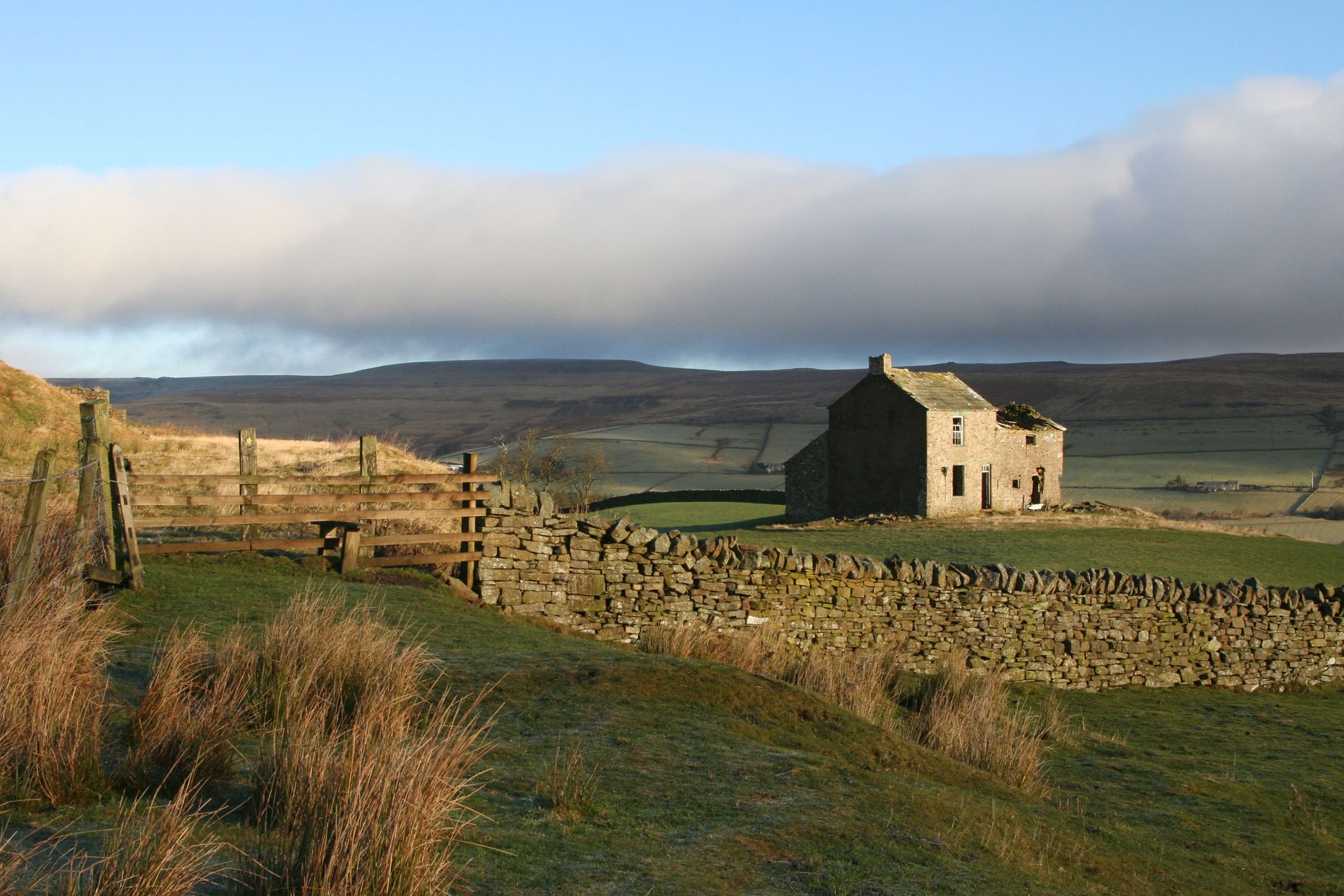
Weardale Way — Hike from the North Sea to the wild Pennines
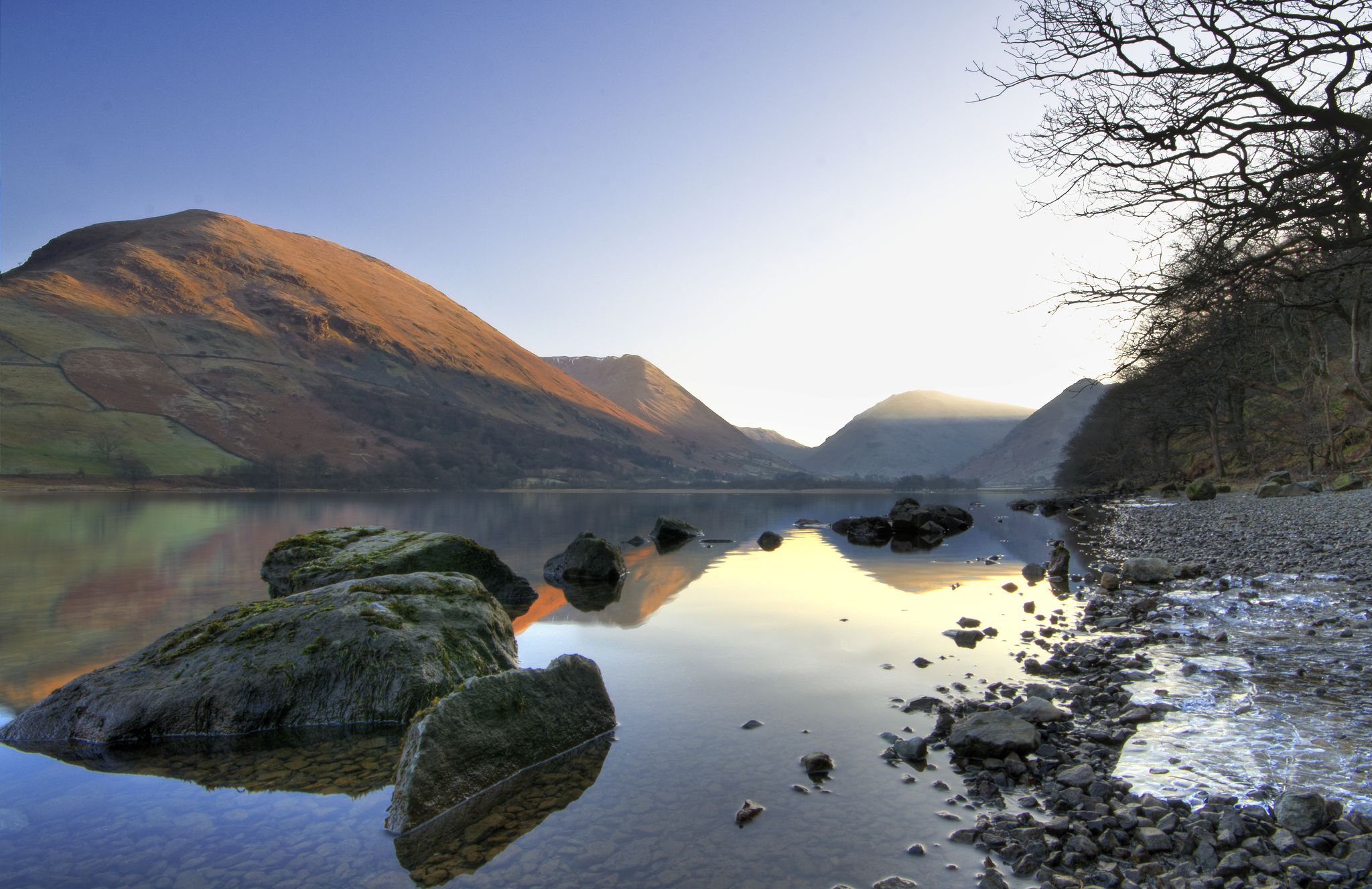
Lake to Lake Walk — Windermere to Kielder across the beautiful North
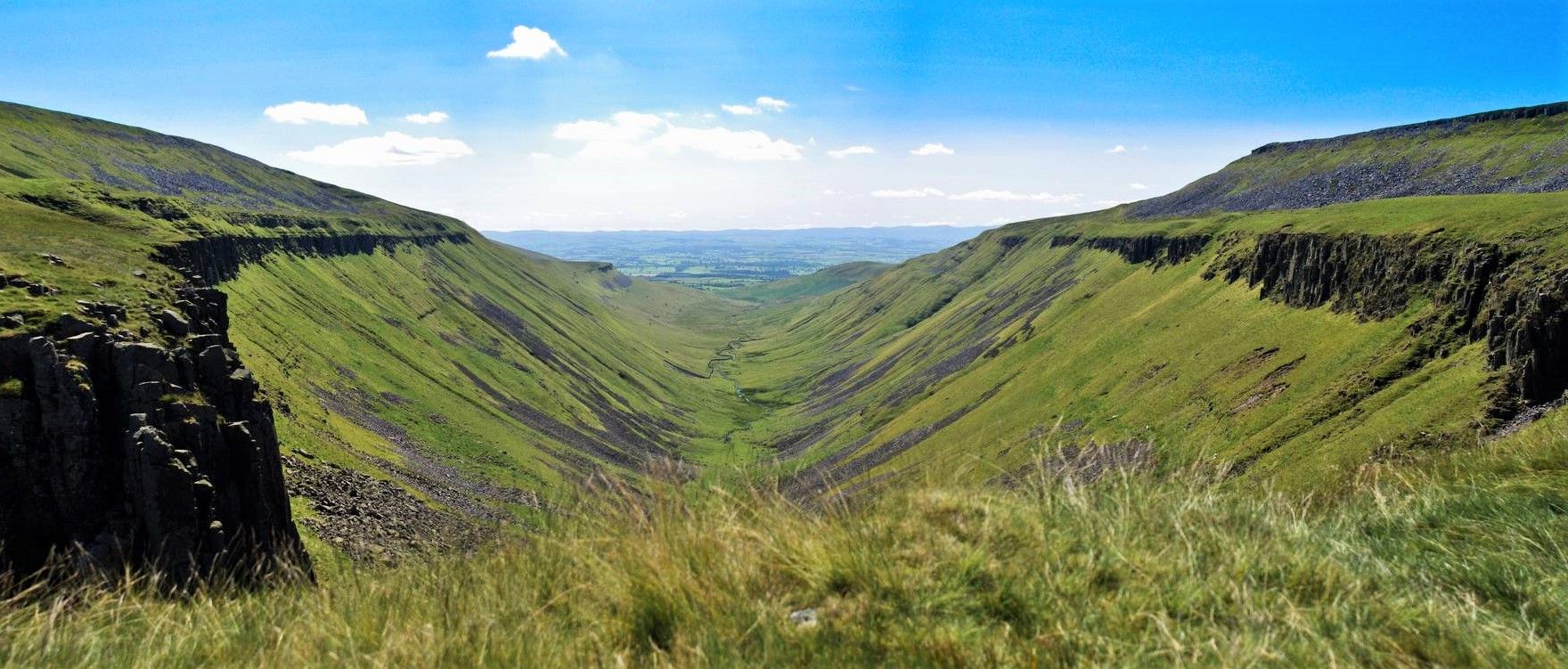
Teesdale Way — A riverside hike from wild Pennines to the North Sea
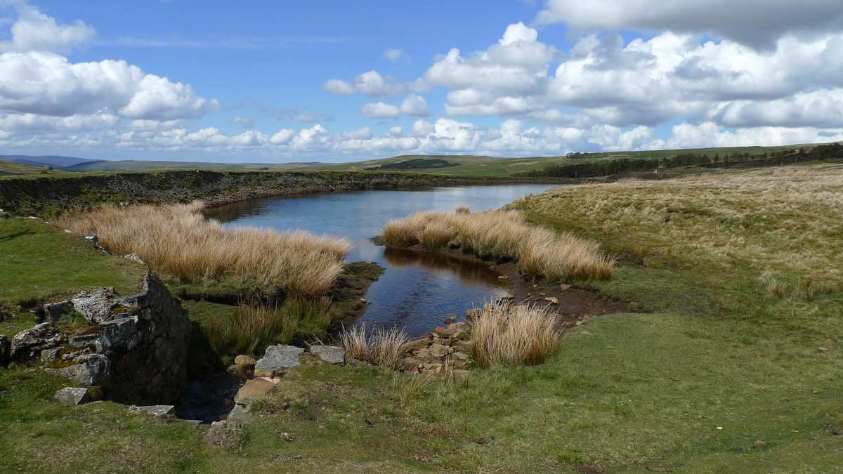
Isaac's Tea Trail — Walk the wild serenity of the North Pennines
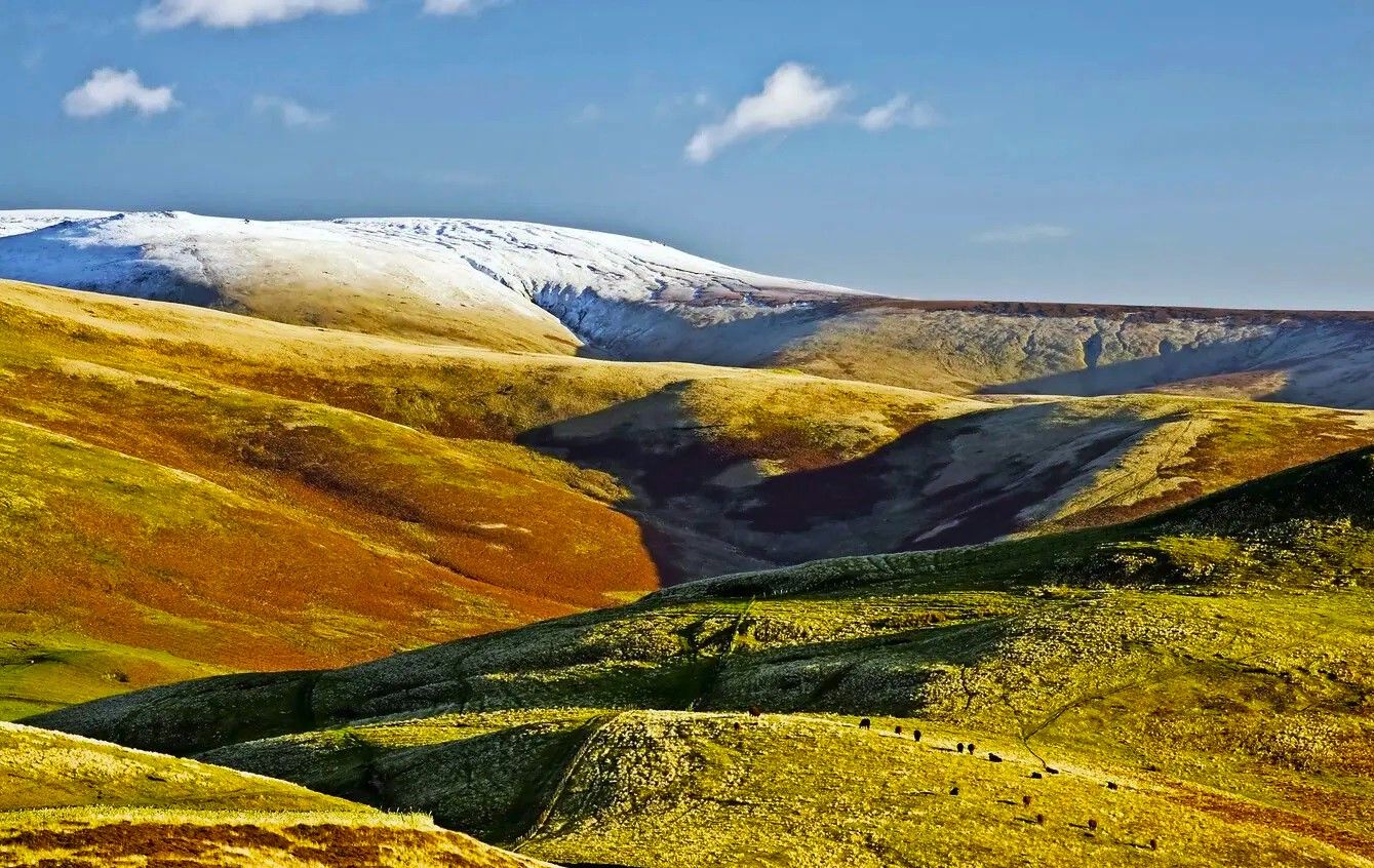
Pennine Way – Take on England's ultimate long-distance hike
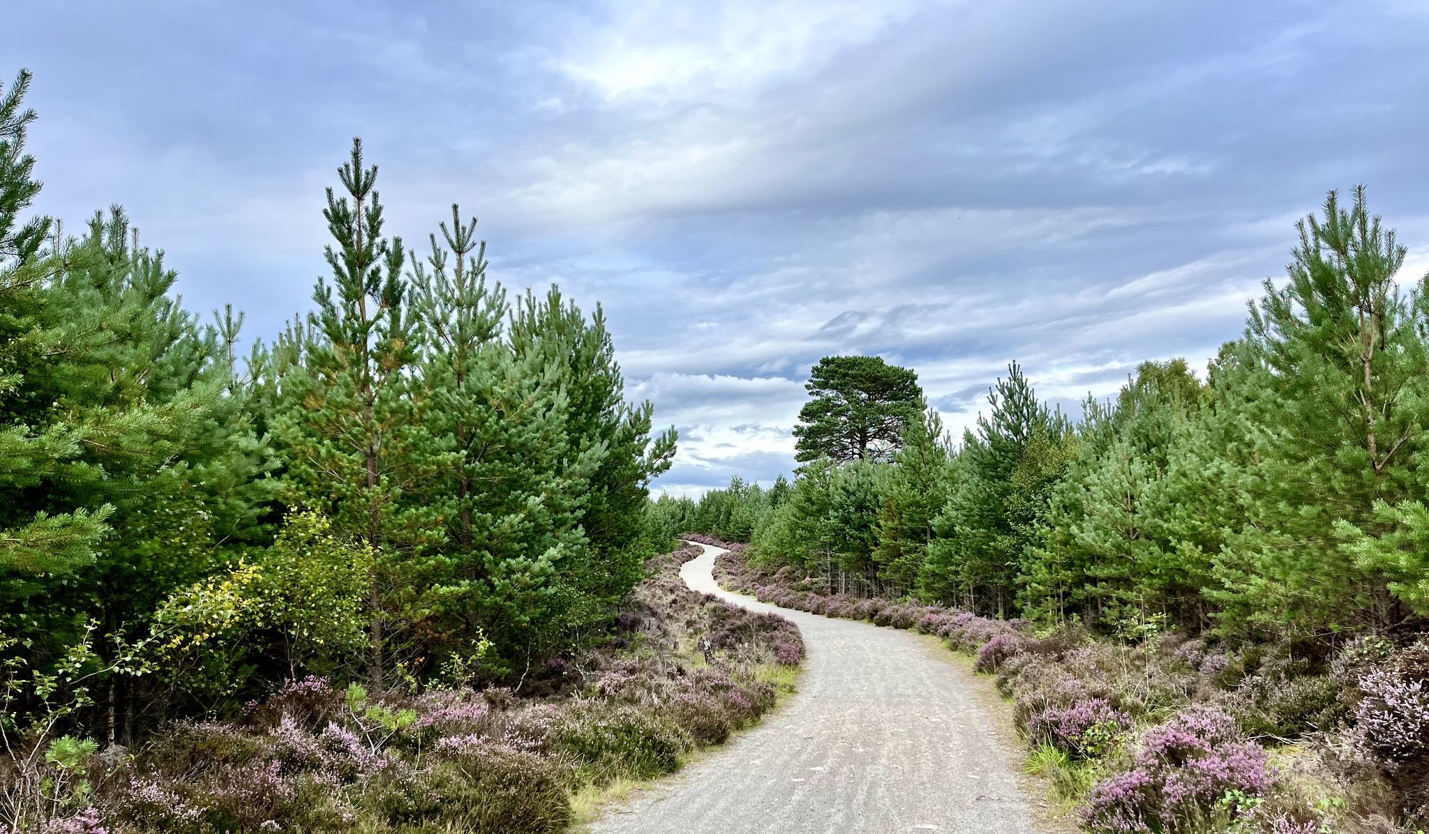
National Cycle Network Route 7 – Sunderland to Inverness
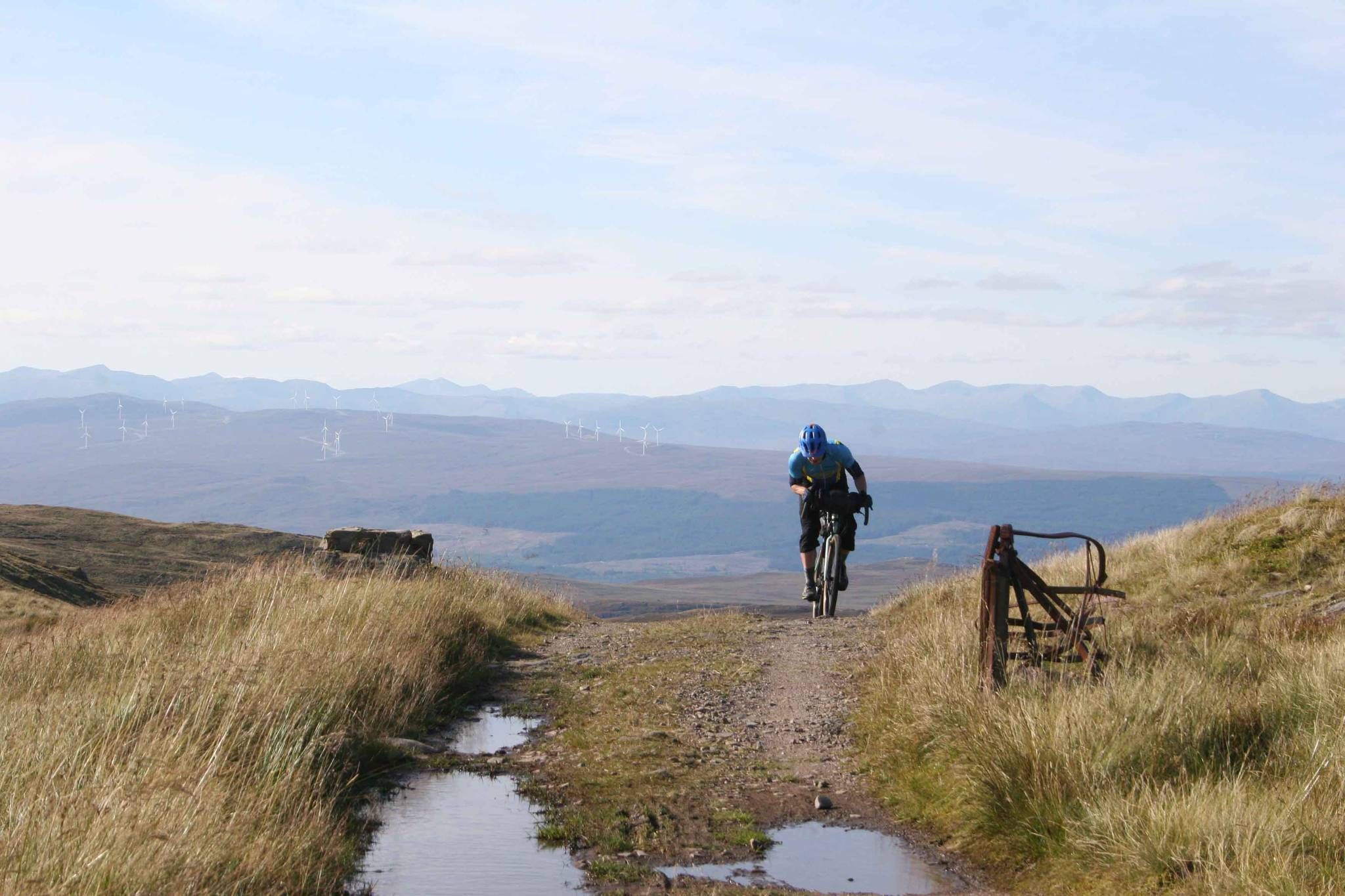
GB Divide — Great Britain end to end off-road on GBDURO
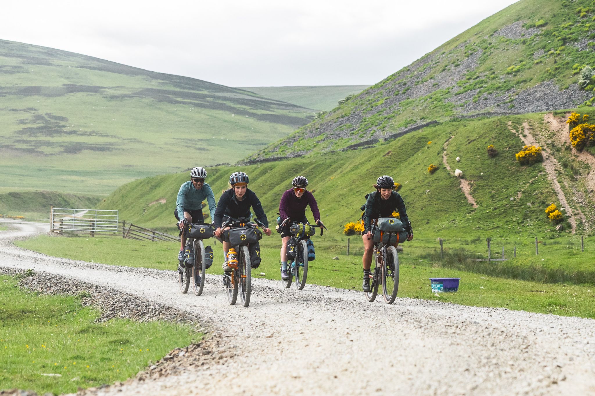
The Pennine Rally — Bikepacking Edinburgh to Manchester

GBDURO 2021 — Gravel racing Land's End to John O'Groats
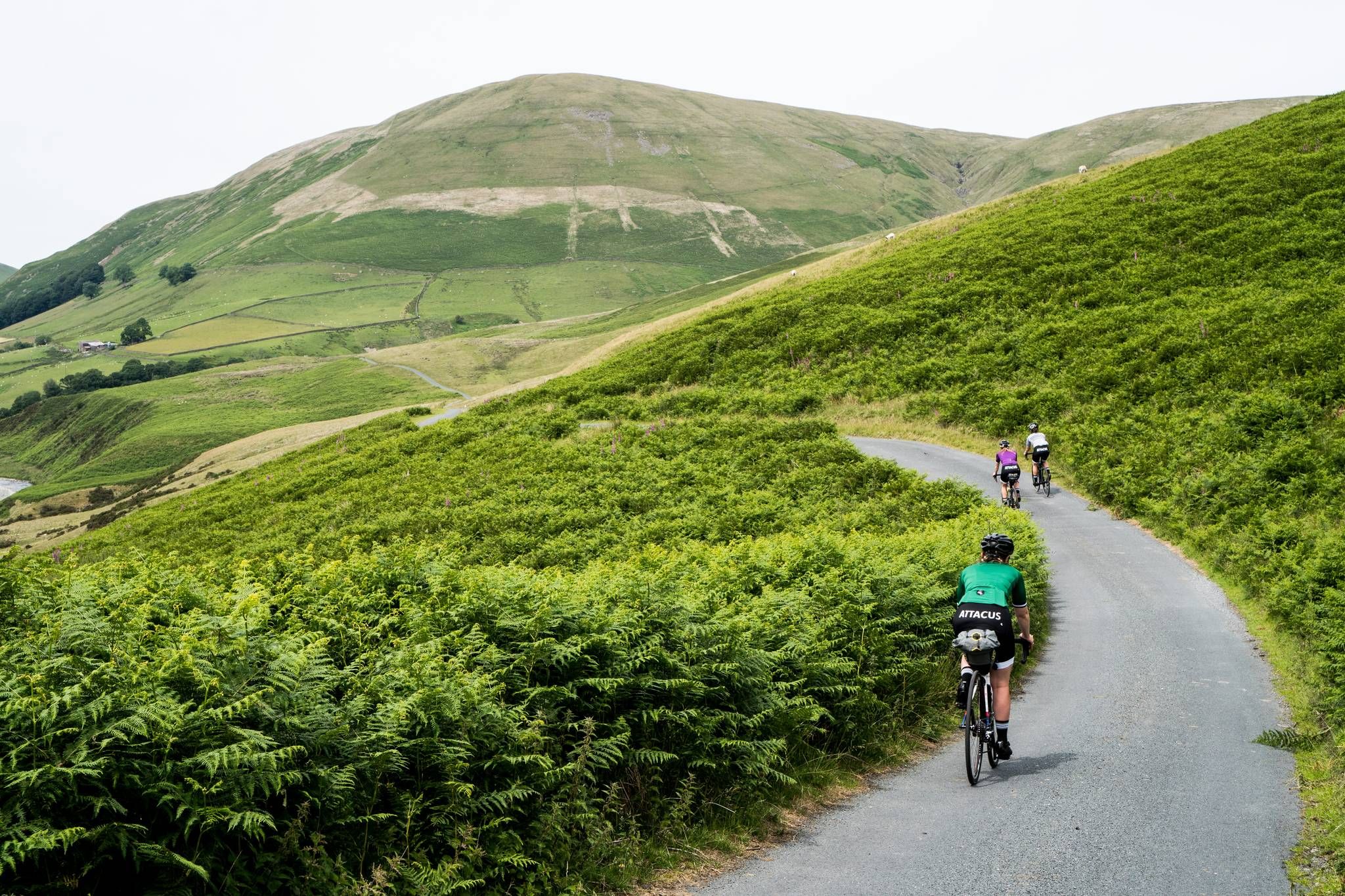
Pennine Cycleway – An epic adventure along the UK's toughest ride
Other adventures in North Pennines AONB


Tips from the Community

A little gem of a reservoir definitely worth a visit.
0
0

Shildon Engine House was built around 1805 to house a Cornish pumping engine, which kept the network of lead mines operating underneath from flooding. Towards the end of its industrial life in the 1840s, an enormous steam engine was installed in a final attempt to keep the mines dry enough to work.
0
0
great little tea room recommend scones with jam
0
0

This is a nice trail that follows the river from Ashgill Waterfall down to Garrigill along the South Tyne Trail. There are nice pools and small cascades along the way to stop off and have a paddle if you wish. Overall, a nice scenic walk.
0
0
This is a beautiful waterfall, easily accessible from the bridge above it, where there is some roadside parking. It does get busy, however, especially with gorge walking groups. Otherwise, you can walk up from Garrigill in about half an hour. The falls are in a great setting, with the bridge arching over the waterfall itself. It makes for a great photo stop or rest stop. You can also walk behind the waterfall. Please be careful in the area, as it is slippery underfoot, and avoid after prolonged rain for obvious reasons.
0
0
Not the oldest churches in the world, but a very attractive one, and adds to the general ambience of Garrigill village, which is a peaceful haven to whittle away a few hours. As is normal these days, the church yard is overgrown with vegetation in order to conserve the local wildlife. The church is open all day if you want to talk to the boss!
1
0
Frequently Asked Questions
How many easy hiking trails are available in North Pennines AONB?
The North Pennines AONB offers a wide selection of easy hiking trails, with over 160 routes specifically categorized as easy. This allows for diverse exploration of the region's unique landscapes.
What kind of landscape can I expect on easy hikes in North Pennines AONB?
Easy hikes in the North Pennines AONB traverse a varied landscape featuring expansive heather moorlands, tranquil blanket bogs, and picturesque pastoral dales. You'll also encounter rushing rivers, scenic reservoirs, and dramatic geological formations, offering a profound sense of wilderness and natural beauty.
Are there easy hikes that feature waterfalls in the North Pennines AONB?
Yes, the North Pennines AONB is renowned for its spectacular waterfalls, many of which are accessible via easy trails. For example, the Ashgill Force loop from Garrigill offers a lovely walk to a beautiful waterfall. Other notable waterfalls in the region include High Force and Low Force, which can be part of accessible routes.
Can I find easy trails around reservoirs in the North Pennines AONB?
Absolutely. The region features several scenic reservoirs perfect for easy walks. The Tunstall Reservoir Circular Walk is a popular choice, offering pleasant views around the water. Other reservoirs like Hisehope Reservoir, Cow Green Reservoir, and Derwent Reservoir also provide opportunities for gentle strolls.
Are there any unique geological features accessible on easy walks?
Yes, the North Pennines AONB is a UNESCO Global Geopark, rich in geological wonders. The Blanchland Geotrail is an excellent easy route that explores the geological heritage around the historic village of Blanchland. You can also find dramatic formations like High Cup Nick, often referred to as 'England's Grand Canyon', which offers breathtaking views from its western slopes.
What other points of interest can I explore on easy hikes in the North Pennines AONB?
Beyond natural beauty, easy hikes can lead you to various points of interest. You might encounter remnants of the area's lead mining history, such as those near the Killhope Lead Mining Museum. The region is also known for its rich biodiversity, with places like the Moor House – Upper Teesdale National Nature Reserve offering unique flora and wildlife viewing opportunities.
Are there family-friendly easy walks in the North Pennines AONB?
Many easy trails in the North Pennines AONB are suitable for families. Routes around reservoirs, such as the Tunstall Reservoir Circular Walk, are generally flat and well-maintained, making them ideal for all ages. Walks to waterfalls like Ashgill Force also provide engaging experiences for children.
Are dogs allowed on easy hiking trails in the North Pennines AONB?
Most easy hiking trails in the North Pennines AONB are dog-friendly, but it's essential to keep dogs under control, especially in areas with livestock or ground-nesting birds. Always check local signage for specific restrictions, particularly within nature reserves or during lambing season. Many routes, including those around reservoirs and through dales, are popular with dog walkers.
What do other hikers enjoy the most about hiking in North Pennines AONB?
The North Pennines AONB is highly rated by the komoot community, with an average score of 4.5 stars from over 1,600 reviews. Hikers frequently praise the region's stunning natural beauty, the sense of wilderness, and the well-maintained paths that make easy exploration enjoyable. The diverse landscapes, from moorlands to waterfalls, are often highlighted as key attractions.
Are there easy circular walks available in the North Pennines AONB?
Yes, the North Pennines AONB offers numerous easy circular walks. These routes are perfect for enjoying the scenery without needing to retrace your steps. Examples include the Tunstall Reservoir Circular Walk and the Smiddy Shaw and Hisehope loop from Waskerley, both providing accessible and rewarding experiences.
Is parking available at the trailheads for easy hikes?
Parking is generally available at or near the trailheads for many easy hikes in the North Pennines AONB, especially at popular starting points like visitor centers or villages. However, spaces can be limited in some more remote areas, particularly during peak seasons. It's advisable to check specific route details for parking information before you go.
What is the best time of year for easy hikes in the North Pennines AONB?
The best time for easy hikes in the North Pennines AONB is typically from late spring to early autumn (May to October). During these months, the weather is generally milder, the days are longer, and the moorlands are vibrant with heather. While winter walks can be beautiful, conditions can be challenging with snow and ice, requiring appropriate gear and caution.
Are there any easy trails that offer panoramic viewpoints?
Many easy trails in the North Pennines AONB provide stunning panoramic views, particularly from higher ground or along the edges of dales. While specific routes vary, the region's diverse topography ensures plenty of opportunities to take in sweeping vistas of moorlands, valleys, and distant fells. For example, areas around High Cup Nick offer incredible views.
Most popular routes in North Pennines AONB
Most popular attractions in North Pennines AONB

Get inspired with the komoot mobile app


Explore more
Browse the best Hikes in other regions.
