The best mountain hikes around Sentheim
3.0
(2)
10
hikers
2
hikes
Mountaineering routes around Sentheim are situated in the Haut-Rhin department of France, offering access to the challenging terrain of the Southern Vosges Mountains. The region is characterized by significant elevation changes, dense forests like the Eichwald, and the presence of the Doller River. This landscape provides a diverse environment for mountain excursions, ranging from demanding ascents to routes exploring geological features.
Best mountaineering routes around Sentheim
- The most popular mountaineering route is Hundsruck Pass – Panoramic view loop from Bourbach-le-Haut…
Last updated: September 29, 2026
4
hikers
15.5km
04:57
640m
640m
Moderate mountaineering route. Good fitness required. Easily-accessible paths. Suitable for all skill levels.
4
hikers
26.8km
08:45
1,200m
1,200m
Hard mountaineering route. Very good fitness required. Easily-accessible paths. Suitable for all skill levels.

1.0
(1)
1
hikers
Hard mountaineering route. Good fitness required. Sure-footedness, sturdy shoes and alpine experience required.
5.0
(1)
1
hikers
Moderate mountaineering route. Good fitness required. Easily-accessible paths. Suitable for all skill levels.
Our route recommendations are based on thousands of hikes, rides, and runs completed by other people on komoot.
Start today with a free account
Your next adventure awaits.

Tips from the Community

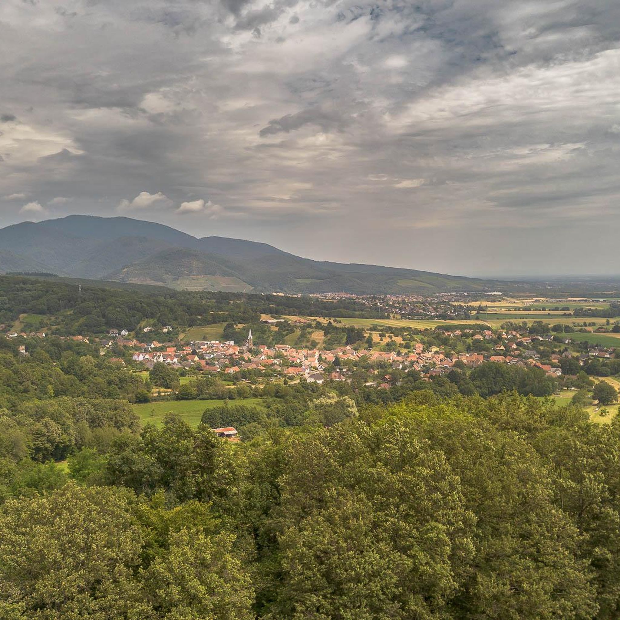
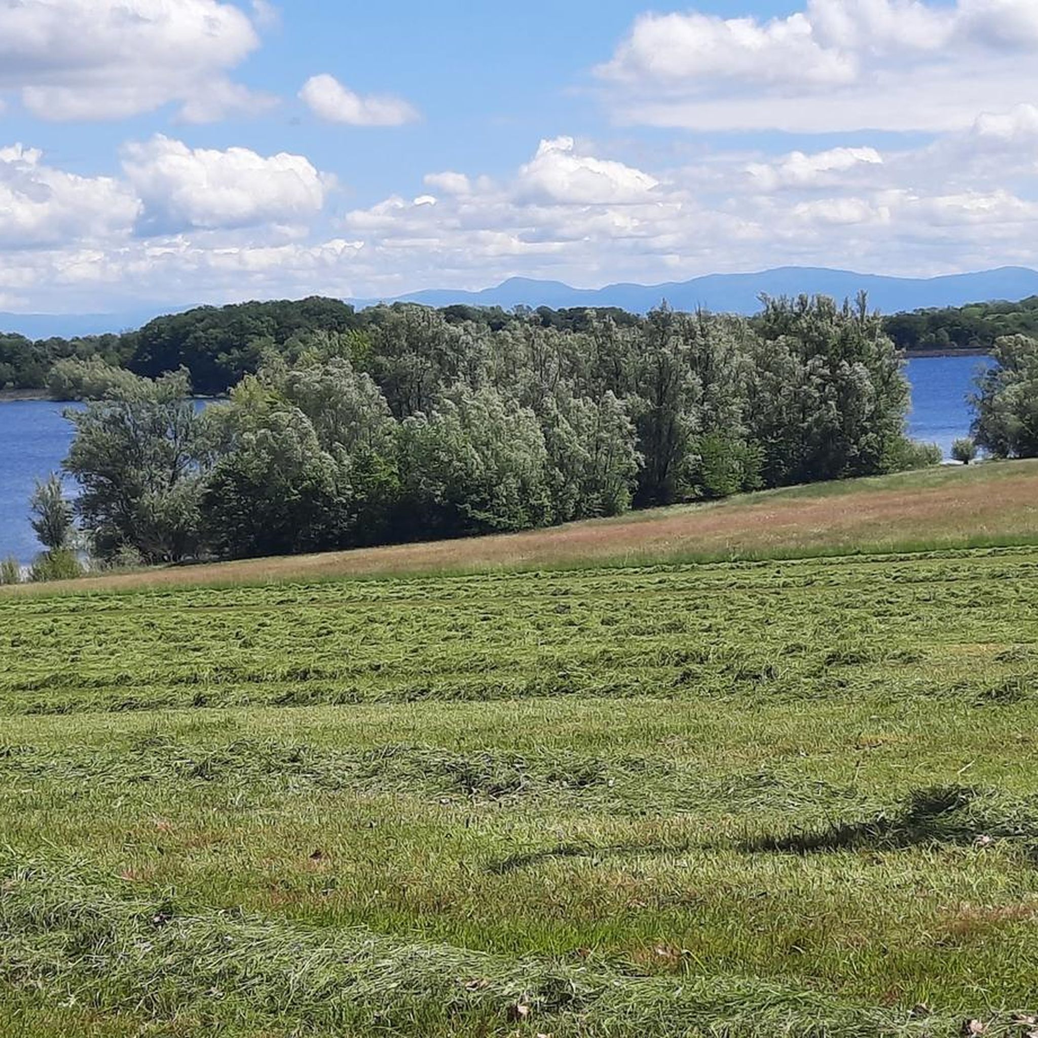
The Col du Hunsrück (748 m) is a quiet and wooded pass above Willer-sur-Thur. The steady climb and beautiful nature make this a pleasant classic in the southern Vosges, with connections to both the Thur and Dollervallei valleys.
4
0

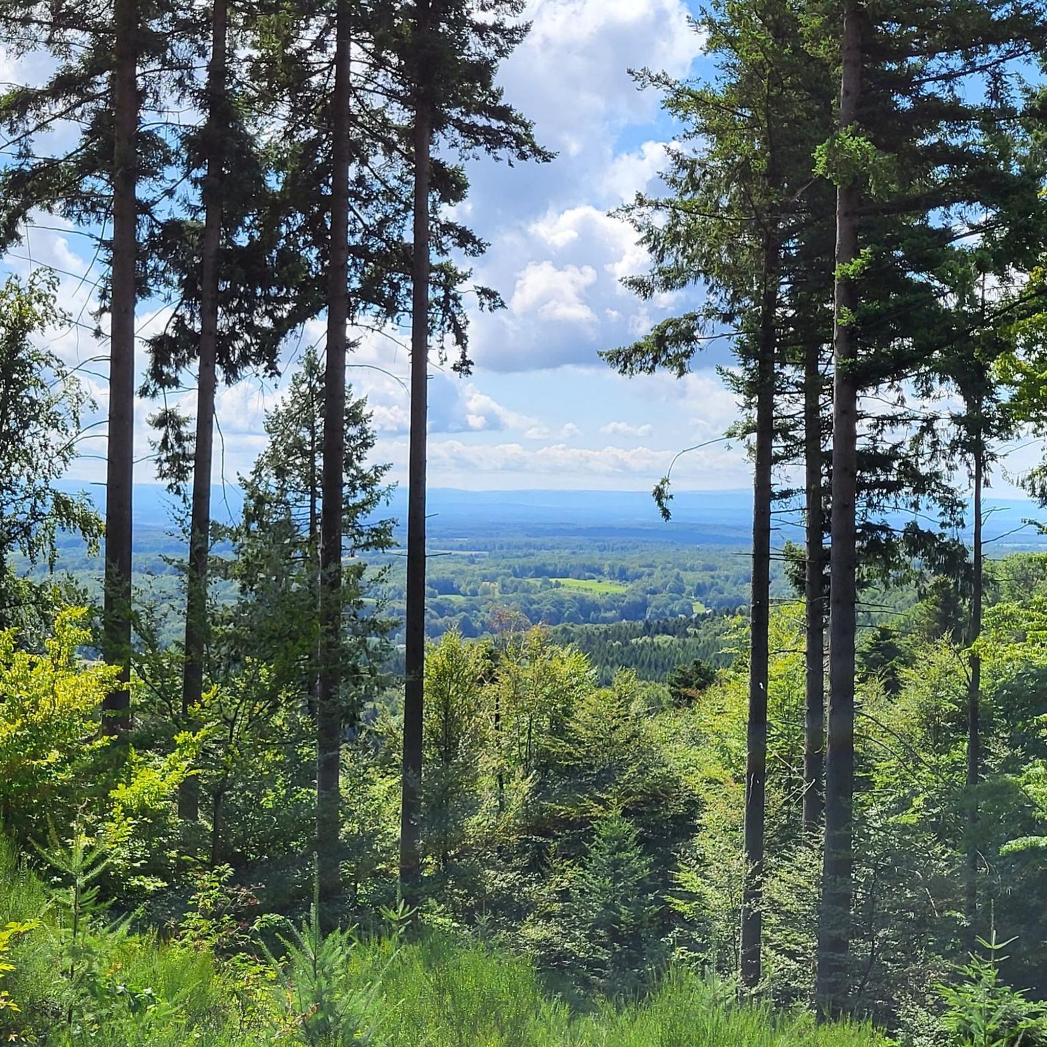
The Baerenkopf is a well-known summit in the Masevaux valley. Located on the wooded ridge around 1,000 meters that borders the Territoire de Belfort and Haut-Rhin, it nevertheless reveals a beautiful view of the valley, especially in the months when the vegetation is sparser. A refuge is located right next to it, in a slightly more open landscape.
1
0
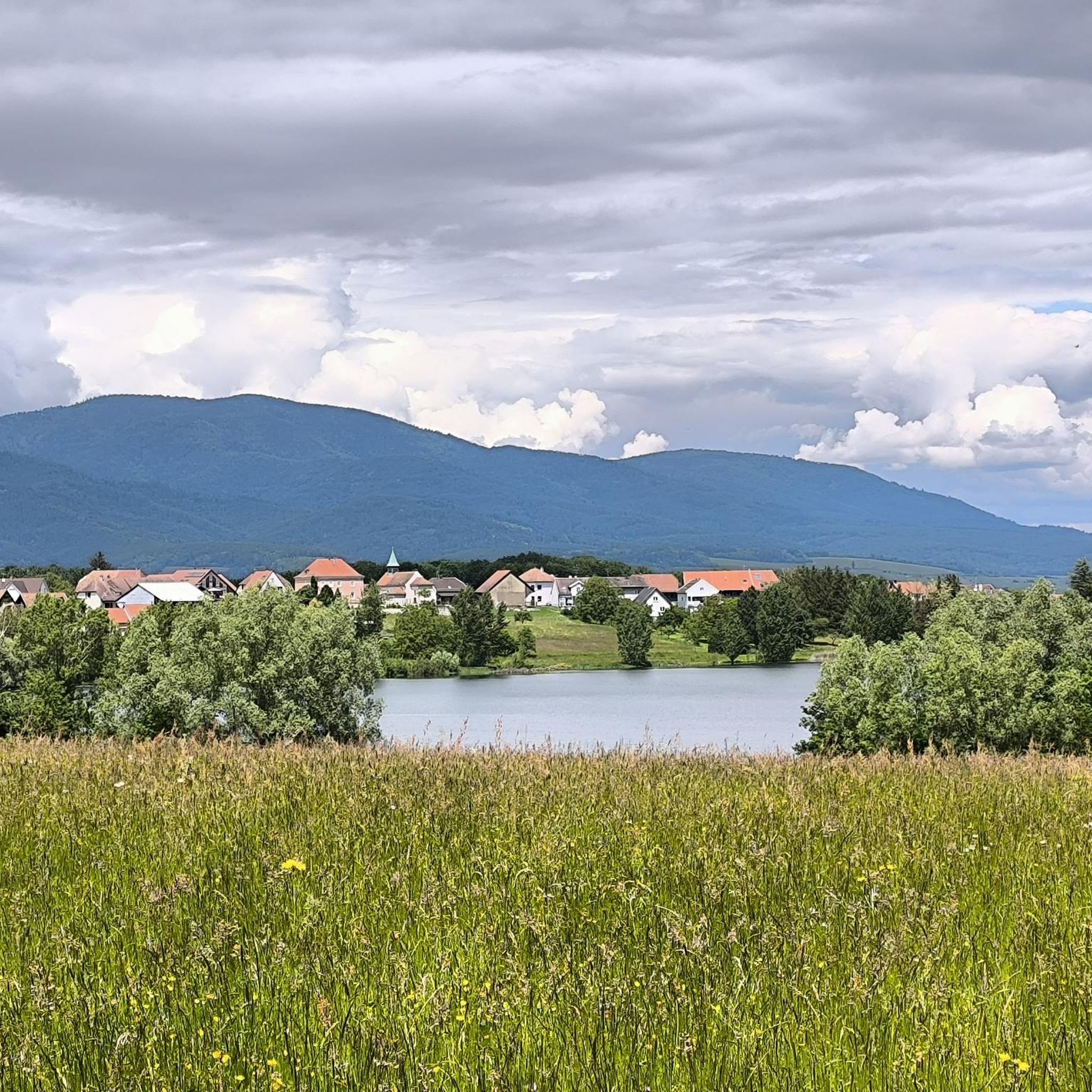
Above the Lachtelweiher lake, the Lochberg farm inn allows you to refuel with good dishes made from products from the farm. Its terrace offers a beautiful view of the valley. There is also a stele in memory of Francis Dollfus, who died skiing at this spot on January 13, 1935. E-MTB riders will also appreciate the charging station provided.
1
0

Beautiful hike and beautiful viewpoint
1
0


the best blueberry pies with the option to charge bikes
0
0

Ferme Auberge Gsang: great view, good food
0
0

Nice walk, steep path, a bit physical at times.
0
0
Frequently Asked Questions
What kind of mountaineering routes can I expect around Sentheim?
Sentheim, located in the Haut-Rhin department, offers a variety of mountaineering routes within the Southern Vosges Mountains. You'll find trails ranging from moderate ascents to more challenging mountain paths, characterized by significant elevation changes, dense forests like the Eichwald, and scenic views. The region is ideal for those seeking demanding mountain hiking experiences rather than technical climbing.
Are there any circular mountaineering routes near Sentheim?
Yes, several routes around Sentheim are designed as loops. For a moderate option, consider the Hundsruck Pass – Panoramic view loop from Bourbach-le-Haut, which is about 15.5 km long. Another moderate choice is the shorter Lochberg Pass (920 m) – Ferme Auberge Le Lochberg loop from Source de la Doller, covering around 6 km. For a more challenging circular experience, the Hundsruck Pass – Vogelstein (Bird Rock) loop from Willer-sur-Thur spans nearly 27 km through higher elevations.
What are some challenging mountaineering trails near Sentheim?
For experienced mountaineers seeking a challenge, the region offers demanding routes. The Hundsruck Pass – Vogelstein (Bird Rock) loop from Willer-sur-Thur is a difficult 26.8 km trail with substantial elevation changes, typically taking over 8 hours. Another difficult option is the Raven Rock loop from Rimbach-près-Masevaux, a 10.8 km path leading through varied forest terrain with notable rock formations.
What are the typical durations for mountaineering routes in Sentheim?
Route durations vary significantly based on distance and difficulty. Moderate trails like the Lochberg Pass (920 m) – Ferme Auberge Le Lochberg loop from Source de la Doller can be completed in about 2 hours. Longer moderate routes, such as the Hundsruck Pass – Panoramic view loop from Bourbach-le-Haut, typically take around 5 hours. For difficult and extensive routes like the Hundsruck Pass – Vogelstein (Bird Rock) loop from Willer-sur-Thur, expect a full day, often around 8-9 hours.
Are there any scenic viewpoints along the mountaineering routes?
Yes, the Vosges Mountains offer numerous opportunities for panoramic views. The Hundsruck Pass – Panoramic view loop from Bourbach-le-Haut is specifically known for its expansive vistas across the surrounding mountain landscape. Higher peaks in the wider Vosges region, such as Grand Ballon, Hohneck, and Petit Ballon, also provide magnificent panoramic views that can extend to the Rhine Valley and even the Alps on clear days.
What natural features can I explore near Sentheim?
Beyond the mountain trails, Sentheim is rich in natural beauty. You can find pleasant walking paths along the Doller River, and the Eichwald forest is an integral part of many hiking routes, offering shaded trails. There's also a geological discovery trail starting from Sentheim, which explores the area's geological history. Notable natural landmarks include the Hundsruck Pass and the Michelbach Lake.
Are there any cultural or historical points of interest along the trails?
Yes, you can combine your outdoor adventure with cultural exploration. The Miners' Chapel (Chapelle des Mineurs) is a point of interest on some hiking trails, adding historical context. In Sentheim village, the House of Geology (Maison de la Terre) provides insights into local geological heritage and is linked to the geological trail. You might also encounter the ruins of The Witch's Eye (Engelbourg Castle).
What is the best time of year for mountaineering in Sentheim?
The best time for mountaineering in Sentheim and the Vosges Mountains is generally from late spring to early autumn (May to October) when the weather is milder and trails are clear of snow. During these months, you'll experience pleasant temperatures and optimal conditions for hiking. Winter mountaineering is possible but requires specific gear and awareness of snow and ice conditions, especially at higher elevations.
Are there any huts or shelters available along the routes?
Yes, the region has several huts and shelters that can be useful during your mountaineering trips. You might come across places like the Viewpoint at the Rehbrunnel shelter, the Belacker Farmhouse Inn, or the Grambaechle Refuge (shelter). These can offer a place to rest or take shelter from the weather.
What should I wear for mountaineering in the Sentheim area?
Given the varied terrain and potential for significant elevation changes in the Vosges Mountains, it's essential to wear appropriate gear. We recommend sturdy trekking shoes with good ankle support, layered clothing to adapt to changing weather conditions, and waterproof outerwear. For more challenging routes, especially those with exposed areas, sure-footedness is required, and hands may be needed for progress, so comfortable, durable clothing is key.
Is public transport available to reach mountaineering trailheads near Sentheim?
While specific public transport connections directly to every trailhead can vary, Sentheim itself is a village in the Haut-Rhin department. It's advisable to check local bus schedules or regional train services that might connect to nearby towns or villages, from which you could potentially access trailheads. For routes starting further afield, a car might offer more flexibility.
What do other mountaineers enjoy most about the routes around Sentheim?
The routes around Sentheim are appreciated for their diverse terrain, offering both moderate and challenging options within the Southern Vosges Mountains. Mountaineers often praise the significant elevation changes, the dense forests, and the scenic views, particularly from routes like the Hundsruck Pass – Panoramic view loop from Bourbach-le-Haut. The komoot community has rated these routes with an average score of 3.0 stars, highlighting the rewarding mountain hiking experiences available.
Most popular routes around Sentheim
Most popular attractions around Sentheim

Get inspired with the komoot mobile app


Explore more
Browse the best Mountain Hikes & Routes in other regions.
