The best MTB trails around Sentheim
4.3
(589)
3,136
riders
217
rides
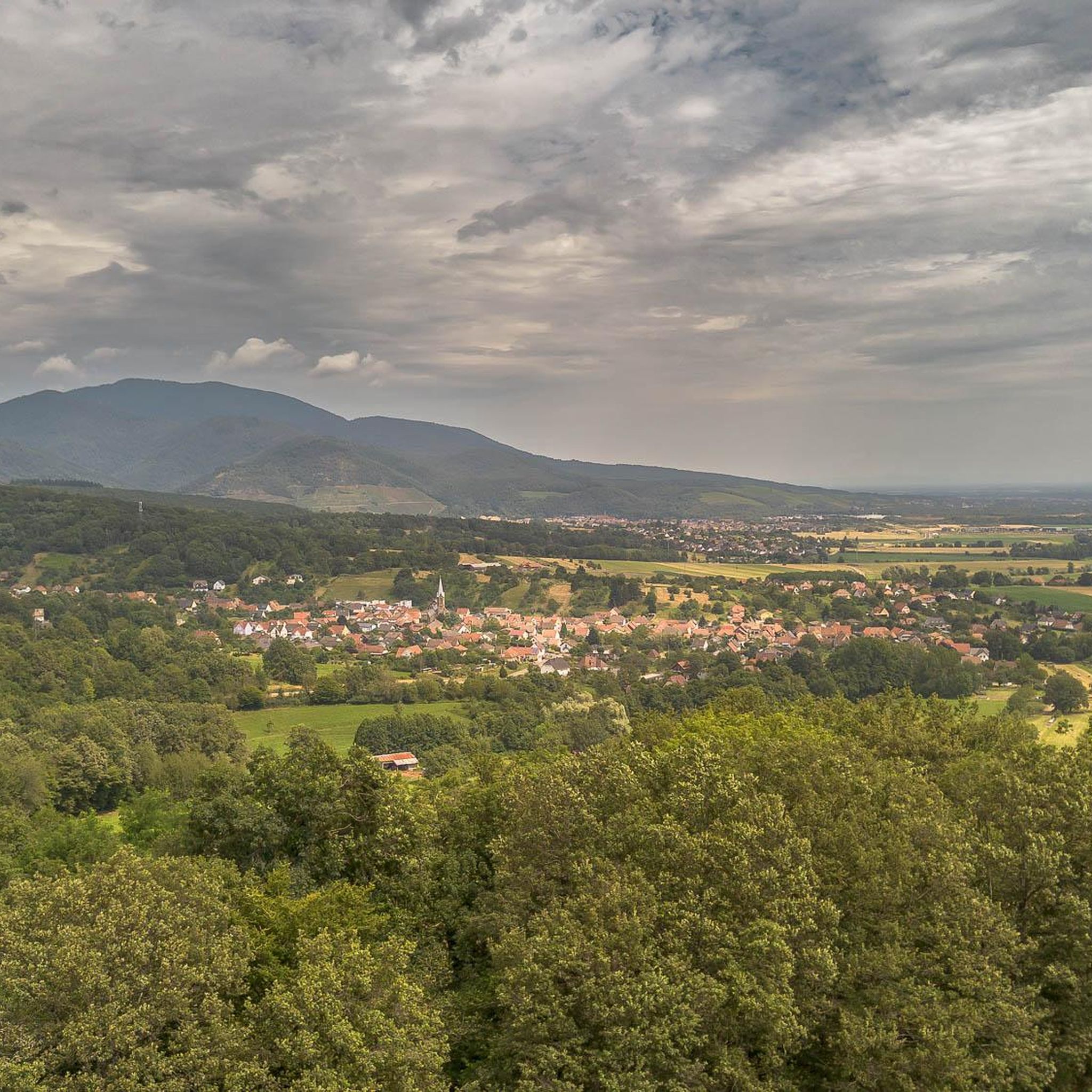
Mountain biking around Sentheim offers access to diverse landscapes within the Doller Valley, situated at the foot of the Vosges Mountains. The region features rolling hills, dense forests, and mountainous terrain, providing varied environments for mountain bike trails. Proximity to the Ballon d'Alsace allows for routes with significant elevation gain and expansive views. This area is characterized by a mix of river valleys and forested slopes, suitable for different mountain biking experiences.
Best mountain bike trails around Sentheim
- The most…
Last updated: October 3, 2026
4.8
(20)
36
riders
35.2km
03:24
880m
880m
Moderate mountain bike ride. Good fitness required. Advanced riding skills necessary.
4.8
(14)
12
riders
28.4km
02:04
150m
150m
Moderate mountain bike ride. Good fitness required. Suitable for all skill levels.

5.0
(2)
14
riders
27.5km
03:08
960m
960m
Hard mountain bike ride. Very good fitness required. Advanced riding skills necessary. Some portions of the route may require you to push your bike.
4.3
(4)
9
riders
17.5km
01:13
100m
100m
Easy mountain bike ride. Great for any fitness level. Suitable for all skill levels.
5.0
(4)
9
riders
32.3km
02:23
350m
350m
Moderate mountain bike ride. Good fitness required. Suitable for all skill levels.
Get access to more routes and recommendations from other explorers.
Already have an account?
Our route recommendations are based on thousands of hikes, rides, and runs completed by other people on komoot.
Start today with a free account
Your next adventure awaits.


Tips from the Community

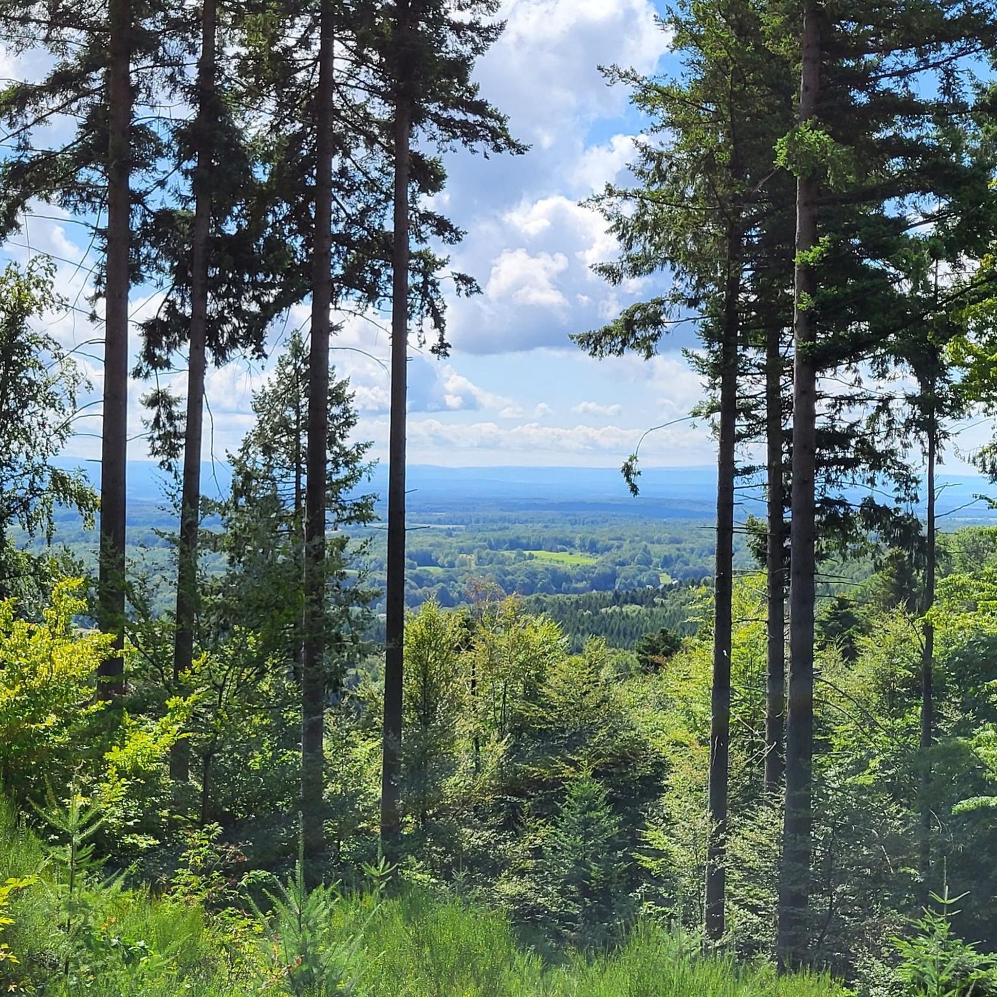
The Col du Hunsrück (748 m) is a quiet and wooded pass above Willer-sur-Thur. The steady climb and beautiful nature make this a pleasant classic in the southern Vosges, with connections to both the Thur and Dollervallei valleys.
3
0

Hagendorn Spring The Hagendorn spring near Burnhaupt-le-Bas is a very old and particularly abundant spring. Its name has been documented as a field name since 1412. The name “Hagendorn” probably refers to a place overgrown with hawthorn. The place name Burnhaupt is also likely connected to the old word for “spring” or “well”. The spring gained particular significance for the history of the village during the First World War. After the front stabilized in Upper Alsace, the German-French front ran approximately along the line Cernay – Pont d’Aspach – Ammerzwiller. East of and in the vicinity of this front line, German troops erected numerous concrete shelters, observation posts, and artillery positions. German fortifications were also built at the Hagendorn spring. Traces of the fortification from that time can still be seen there today, including concrete components. The spring was thus part of a larger military positional system that the German troops used during trench warfare. Numerous other shelters and observation posts from this period can be discovered along the current Sentier des Bunkers. The spring itself was re-cased or redesigned in 1931. The current structure partially conceals the remains of the wartime fortification preserved underneath. Thus, the Hagendorn spring connects two very different aspects of the village's history: centuries-old water supply and the military landscape of the First World War. Today, the spring is Station 18 of the Sentier des Bunkers, an approximately nine-kilometer-long historical circular trail through the former front landscape of Burnhaupt-le-Bas. https://burnhaupt-le-bas.fr/sentier-des-bunkers/?utm_source=chatgpt.com
0
0
Bahnhof Burnhaupt-le-Haut The Bahnhof Burnhaupt-le-Haut is located on the former railway line from Cernay to Sewen, which led through the Dollertal. The line was built in the 19th century and was of great importance for passenger and freight transport in the region. During the First World War, the station gained particular strategic importance. Burnhaupt was located immediately behind or close to the front line between German and French troops. The railway was used to transport soldiers, weapons, ammunition, and other supplies. Due to the fighting, the station was heavily damaged. After the war, the station building was rebuilt between 1921 and 1923. A building typical of the region with elements of Alsatian architecture was created. The station has largely been preserved to this day and serves as a reminder of the importance of the railway for the region's development and the destruction of the First World War. Regular passenger service on the line was discontinued in 1967, and the line was later closed. Part of the former railway line is now operated as a museum railway by Train Thur Doller Alsace. Historic locomotives and wagons run on the line through the Dollertal, making the history of the railway tangible for visitors. The Bahnhof Burnhaupt-le-Haut is therefore not only a former transport hub, but also a historic site where the history of the region, the railway, and the First World War converge. Further information and historical photos: Train Thur Doller Alsace – Bahnhof Burnhaupt
0
0

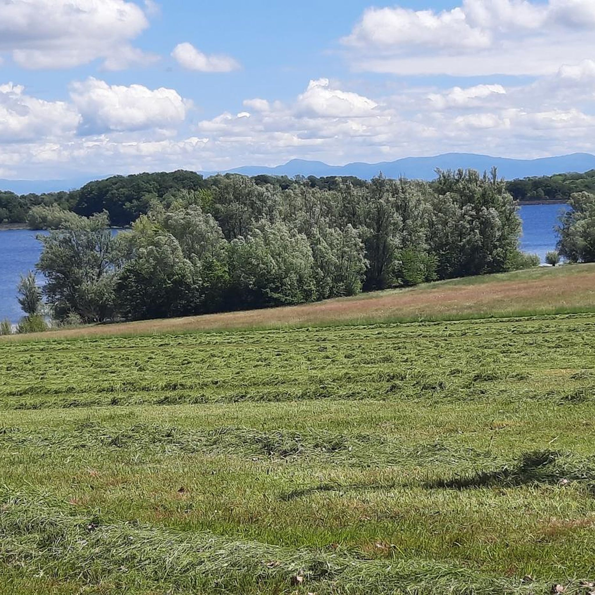
the Michelbach lake is a place where you can stop for a picnic during hikes or bike rides
0
0

This old chapel was erected after the French Revolution on the old path to Thann and fell into disrepair over time. In 1932, the community decided to rebuild it. The current small building has a simple nave, an open porch, and a small bell tower with a bell. In front of the chapel stands a statue of the Virgin Mary, which underscores the character of the place as a pilgrimage and devotional site. The chapel is dedicated to the "Mother of God of Perpetual Help" and belongs to the typical small religious monuments of southern Alsace.
1
0

Please take the nature conservation restrictions seriously. Otherwise, you will not only disturb the fauna, but the rangers on site are also very conscientious and ensure strict adherence. Dogs on a leash, take your trash with you, stay on the paths, and do not picnic in the grass. But that goes without saying.
0
0

Frequently Asked Questions
How many mountain bike trails are available around Sentheim?
There are over 200 mountain bike trails around Sentheim, offering a wide range of options for different skill levels. You'll find 45 easy routes, 123 moderate routes, and 50 difficult routes to explore.
What kind of terrain can I expect on mountain bike trails near Sentheim?
Mountain biking around Sentheim features diverse terrain, from rolling hills and dense forests in the Doller Valley to more mountainous sections as you approach the Vosges Mountains and the Ballon d'Alsace. You can expect a mix of river valleys and forested slopes, providing varied environments for your rides.
Are there any easy or family-friendly mountain bike trails in Sentheim?
Yes, Sentheim offers several easy mountain bike trails suitable for families or beginners. For example, the Michelbach Dam – Michelbach Lake loop from Guewenheim is an easy 10.8-mile (17.4 km) route that takes about 1 hour 12 minutes to complete, leading through the scenic Michelbach Dam area.
Are there challenging mountain bike routes for experienced riders?
Absolutely. For experienced riders seeking a challenge, Sentheim provides difficult routes with significant elevation gains. A notable option is the Ballon d'Alsace – Ballon d'Alsace loop from Le Haut-Soultzbach, a demanding 40.5-mile (65.2 km) path that ascends towards the prominent Ballon d'Alsace, offering panoramic views.
What are some notable landmarks or viewpoints along the mountain bike trails?
Many trails offer scenic views, especially those ascending towards the Ballon d'Alsace, which provides panoramic vistas of the Alsace plain and sometimes even the Swiss Alps. You might also encounter natural features like Michelbach Lake or historical sites such as The Witch's Eye (Engelbourg Castle), which are highlights in the region.
Can I bring my dog on the mountain bike trails in Sentheim?
While many outdoor areas in the Vosges region are dog-friendly, it's always recommended to keep your dog on a leash, especially in forested areas or near wildlife. Specific trail regulations for dogs can vary, so please observe local signage.
What is the best time of year for mountain biking in Sentheim?
The best time for mountain biking in Sentheim is generally from spring through autumn. During these seasons, the weather is typically mild, and the trails are in good condition. Winter riding can be possible, but conditions may be challenging due to snow or ice, especially at higher elevations.
Are there any circular mountain bike routes around Sentheim?
Yes, many of the mountain bike routes around Sentheim are designed as loops, allowing you to start and finish at the same point. Examples include the Sentheim Train Station – The Big Oak loop from Le Haut-Soultzbach and the Singletrack Along the Water – Michelbach Dam loop from Guewenheim.
What do other mountain bikers enjoy most about the trails in Sentheim?
The mountain bike trails around Sentheim are highly rated by the komoot community, with an average score of 4.4 stars from over 400 reviews. Riders often praise the diverse landscapes, the mix of challenging climbs and scenic descents, and the well-maintained paths through forests and valleys.
How can I get to the mountain bike trails in Sentheim using public transport?
Sentheim is a departure station for the Train Thur Doller Alsace, a tourist train that runs through the scenic Doller Valley. While this train offers a unique way to experience the region, for direct access to trailheads, it's advisable to check local bus services or consider starting points accessible from the Sentheim train station itself, such as the Sentheim Train Station – The Big Oak loop.
Are there places to eat or stay in Sentheim that are bike-friendly?
Sentheim and the surrounding Doller Valley offer various cafes, restaurants, and accommodations. While specific bike-friendly certifications may vary, many establishments in outdoor-focused regions are accustomed to welcoming cyclists. You can find local eateries and the Honey House in the village center for refreshments.
What other attractions are near Sentheim that I can visit after mountain biking?
Beyond the trails, Sentheim offers attractions like the Honey House and the House of Geology. Nearby, you can visit Michelbach Lake for other activities, or explore the Hundsruck Pass. The Train Thur Doller Alsace also provides a unique scenic tour of the valley.
Most popular routes around Sentheim
Most popular attractions around Sentheim

Get inspired with the komoot mobile app


Explore more
Browse the best MTB trails in other regions.
